About this sheet
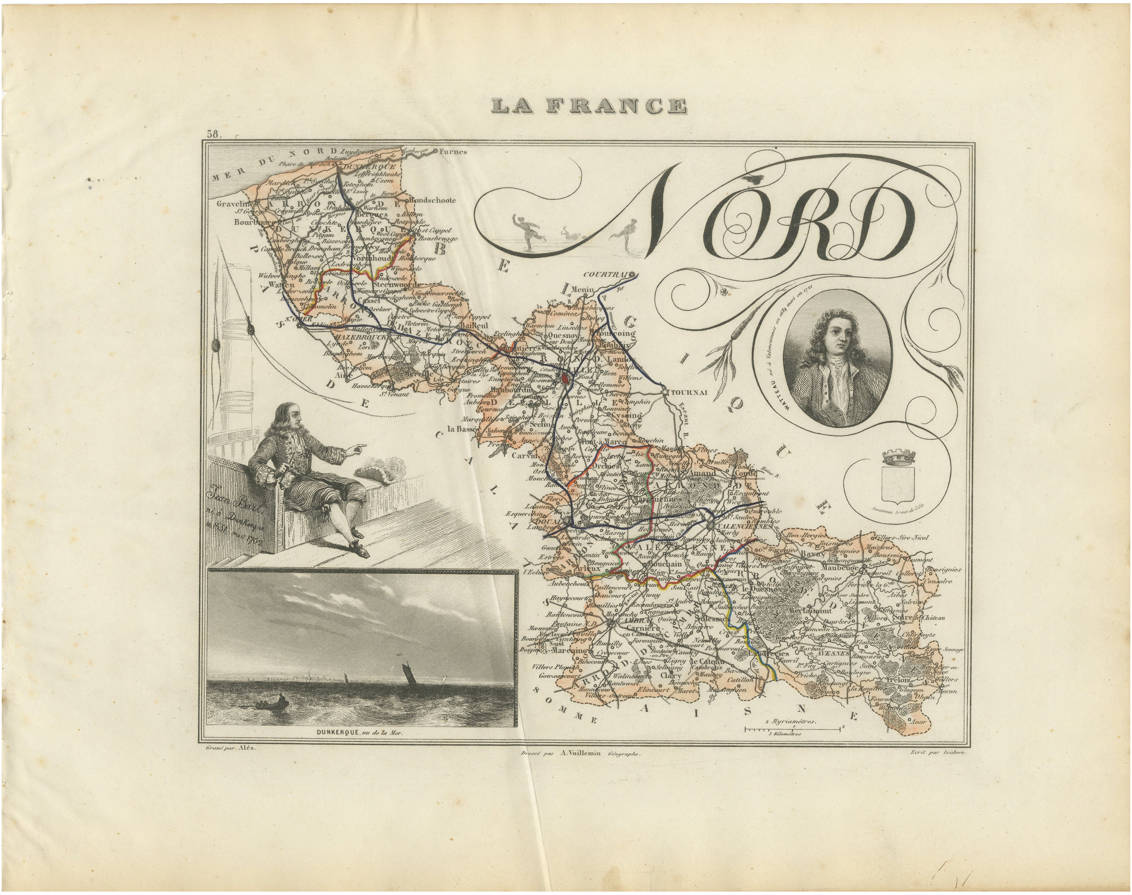
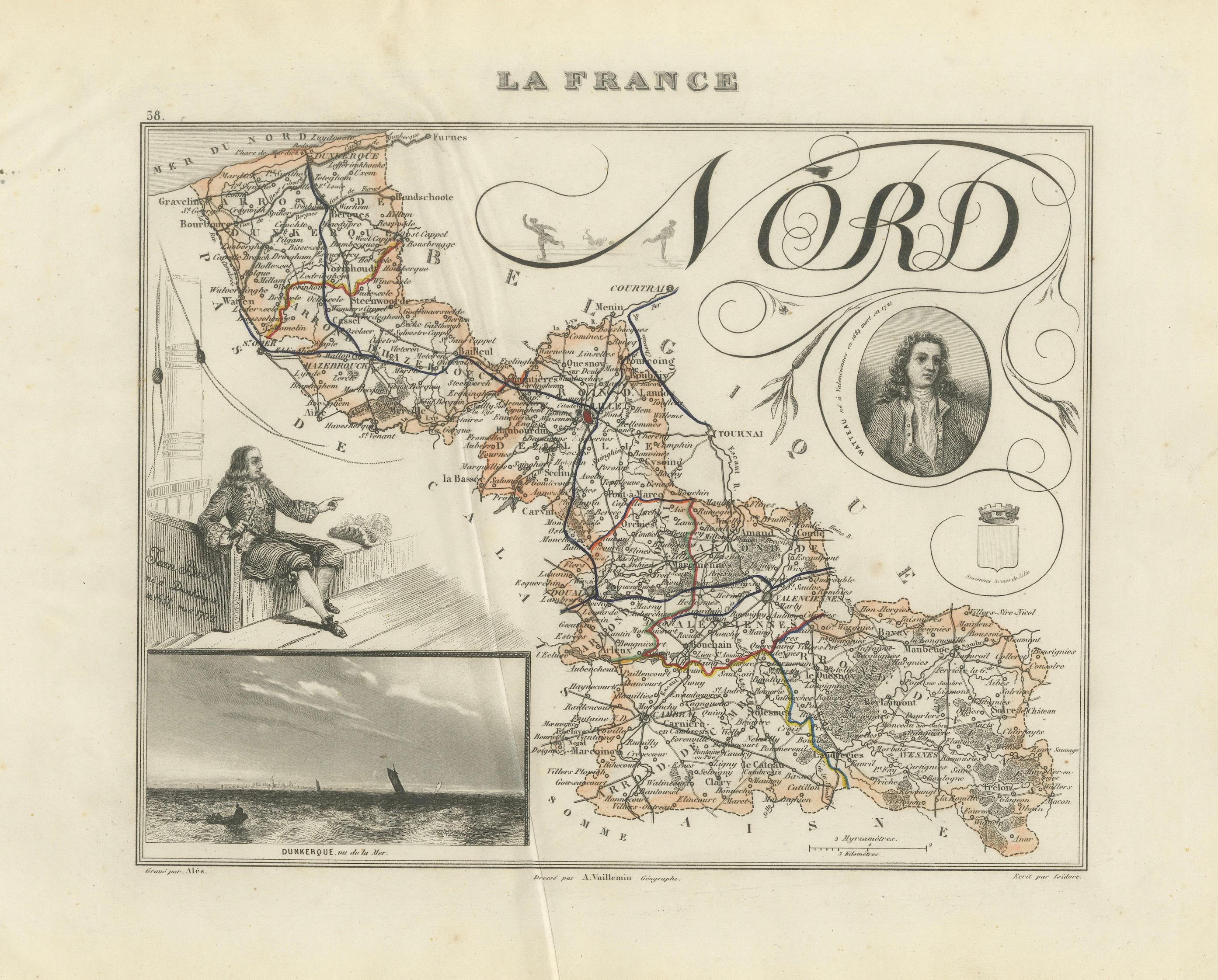
Original antique map of the French department of Nord, published in Paris around 1850 by the French cartographer Alexandre Vuillemin.
The map was issued as part of Vuillemin’s celebrated decorative atlas La France Illustrée, admired for its combination of detailed regional cartography, historical portraits, heraldry and picturesque architectural views.
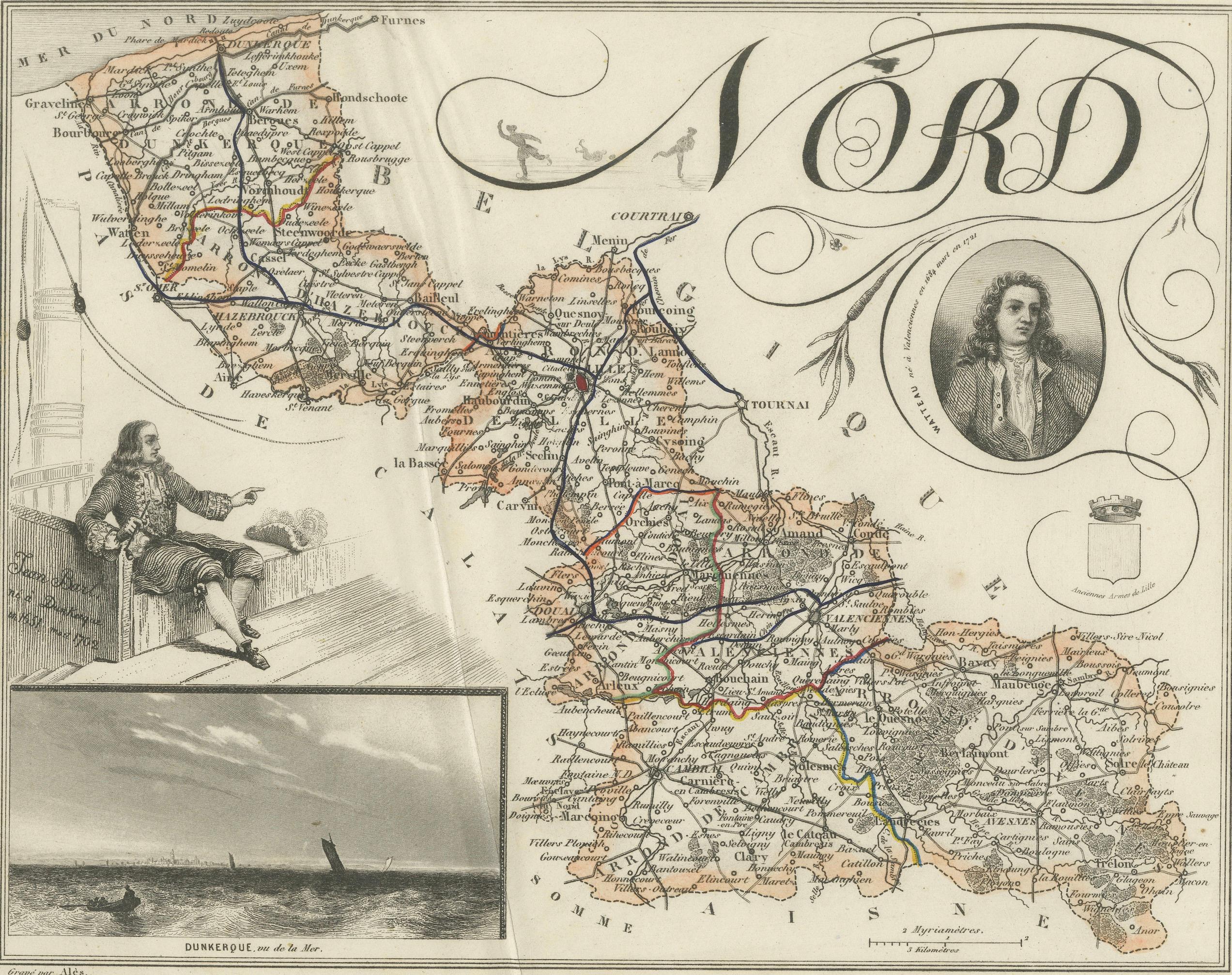
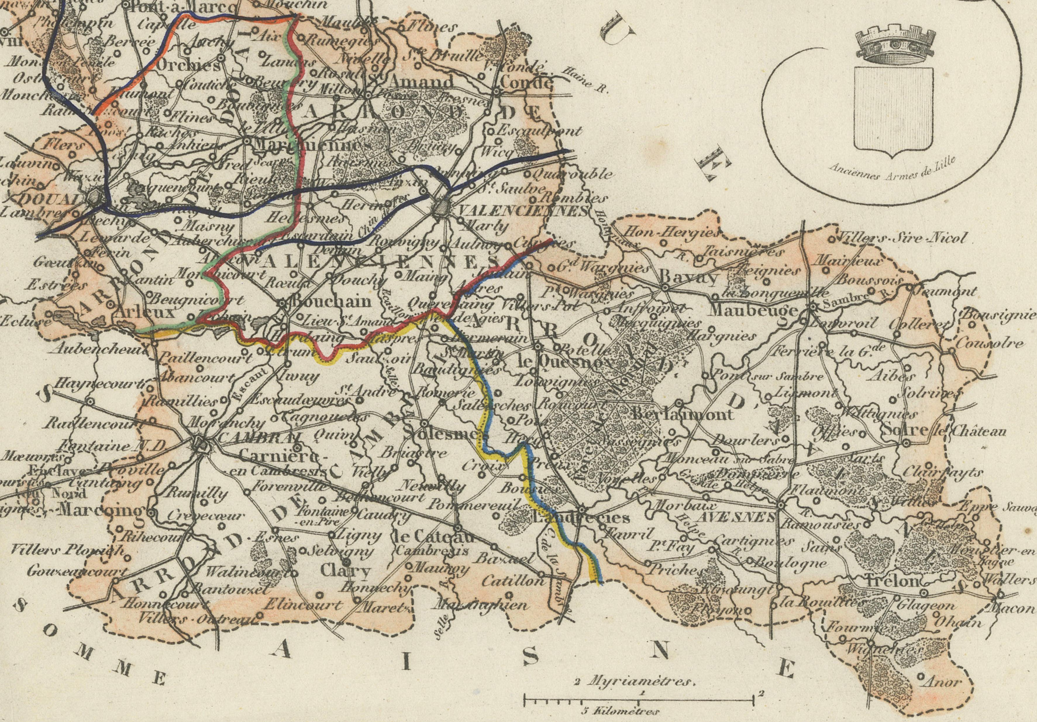
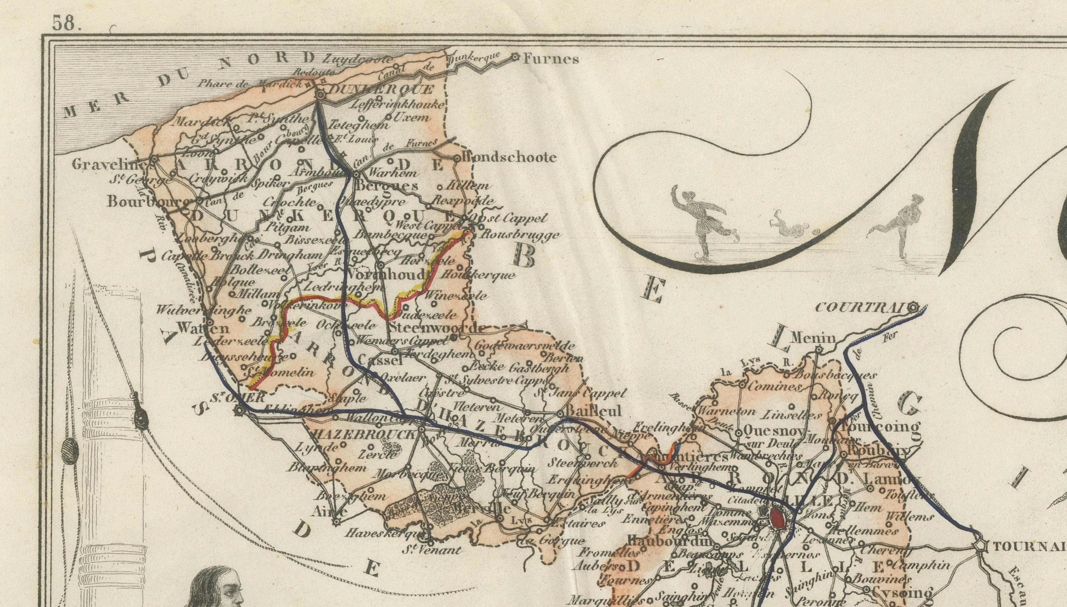
Numbered 58, the map depicts the towns, villages, roads, rivers and administrative boundaries of the Nord department. Original hand-coloured lines distinguish the departmental divisions and principal routes. The map extends from the North Sea coast around Dunkirk and Gravelines to Lille, Valenciennes, Cambrai, Maubeuge and the Belgian border.
The decorative composition includes a portrait of the painter Jean-Antoine Watteau, identified as having been born in Valenciennes in 1684, and a full-length image of Jean Bart, the celebrated naval commander and privateer associated with Dunkirk. Further embellishments include the historic arms of Lille and a maritime view titled Dunkerque, vue de la Mer.
Important locations shown include Lille, Dunkirk, Valenciennes, Douai, Cambrai, Roubaix, Tourcoing, Maubeuge, Avesnes-sur-Helpe, Hazebrouck, Bailleul, Bergues, Gravelines, Bourbourg, Cassel, Armentières, Orchies, Denain, Le Quesnoy and Landrecies.
The Nord department forms part of historic French Flanders and includes landscapes associated with Flanders, Hainaut, Cambrésis and Avesnois. Its cultural heritage is reflected in regional specialities such as Maroilles cheese, Mimolette, Boulette d’Avesnes, Vieux-Lille cheese, Bêtises de Cambrai, carbonnade flamande and traditional bière de garde.
An appealing historical map for collectors of French cartography, Flemish history, maritime subjects, Napoleonic-era culture and nineteenth-century decorative engravings.
This is an original antique engraving and not a modern reproduction. It is offered unframed. Any framed images are shown for presentation and interior inspiration only.
Technique: Engraving with original hand colouring
Maker: Alexandre Vuillemin
Place of Publication: Paris, France
Date: Circa 1850
Source: La France Illustrée
Department: Nord, number 58
Region: French Flanders, Hauts-de-France
Condition:
Good antique condition with general age-related toning, scattered foxing, creasing and visible vertical folds. There are small stains, handling marks and minor wear around the edges and margins. The original hand-coloured boundaries remain attractive and clearly visible. Wear is consistent with age and use. Please examine the images carefully as they form an important part of the condition description.
Keywords:
Alexandre Vuillemin, antique Nord map, Nord France map, French Flanders map, historic Flanders map, Hauts-de-France map, antique Lille map, Lille wall art, Dunkirk antique map, Dunkerque map, Valenciennes map, Douai map, Cambrai map, Roubaix map, Tourcoing map, Maubeuge map, Avesnes-sur-Helpe, Hazebrouck map, Bailleul map, Bergues map, Gravelines map, Bourbourg map, Cassel France, Armentières map, Orchies map, Denain map, Le Quesnoy map, Landrecies map, Belgian border map, France Belgium map, North Sea coast map, French departmental map, La France Illustrée, decorative French map, nineteenth-century cartography, antique French engraving, original hand colouring, Jean Bart, Jean Bart Dunkirk, French naval history, French privateer, Jean-Antoine Watteau, Watteau portrait, Valenciennes art, ancient arms of Lille, Dunkerque sea view, Dunkirk maritime history, Dunkirk evacuation, Operation Dynamo, French Flanders history, Hainaut France, Cambrésis, Avesnois, Flanders heritage, Lille old town, Lille Grand Place, Palais des Beaux-Arts Lille, Dunkirk carnival, Maroilles cheese, Mimolette cheese, Boulette d’Avesnes, Vieux-Lille cheese, Bêtises de Cambrai, carbonnade flamande, potjevleesch, waterzooi, bière de garde, French beer region, Flemish cuisine, French regional food, Francophile gift, library wall art, office decor, historic map wall art, collector’s map, original antique map