About this sheet
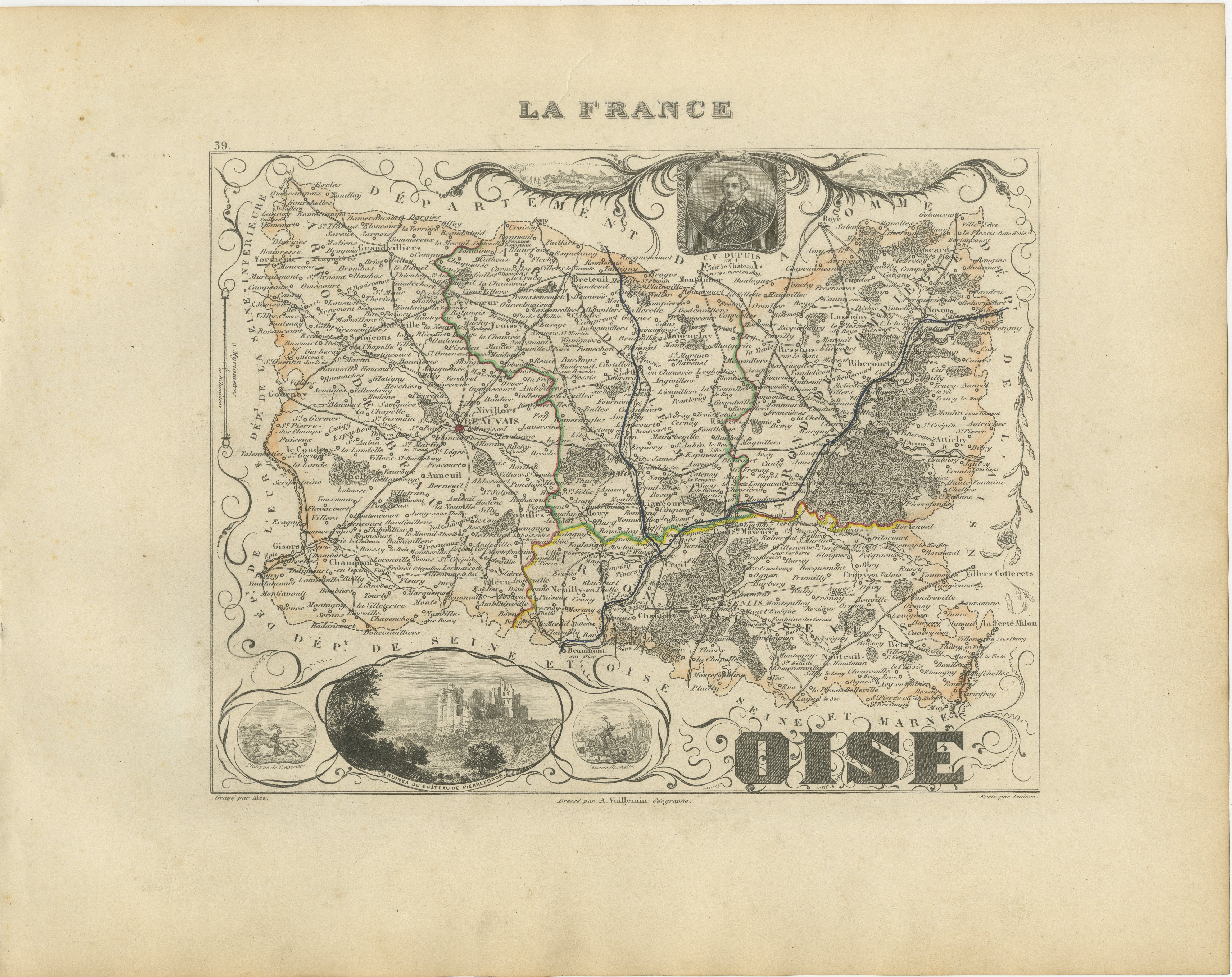
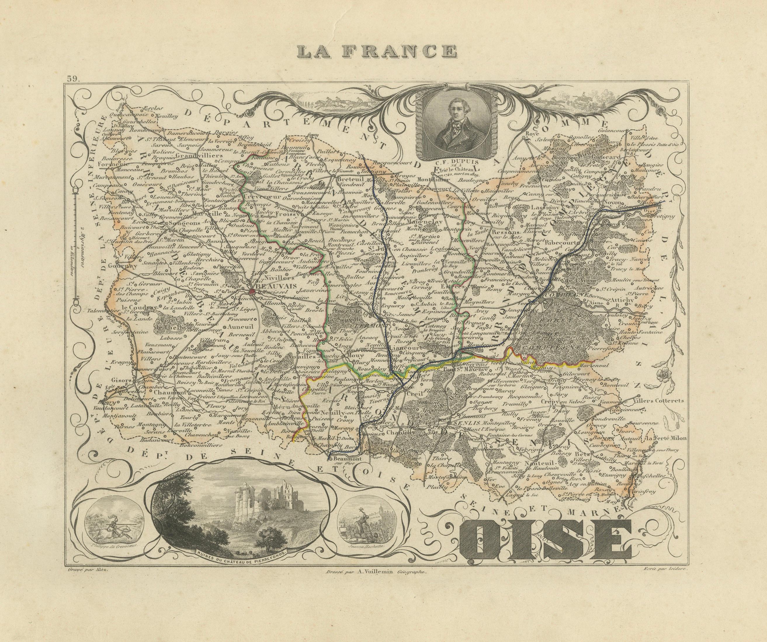
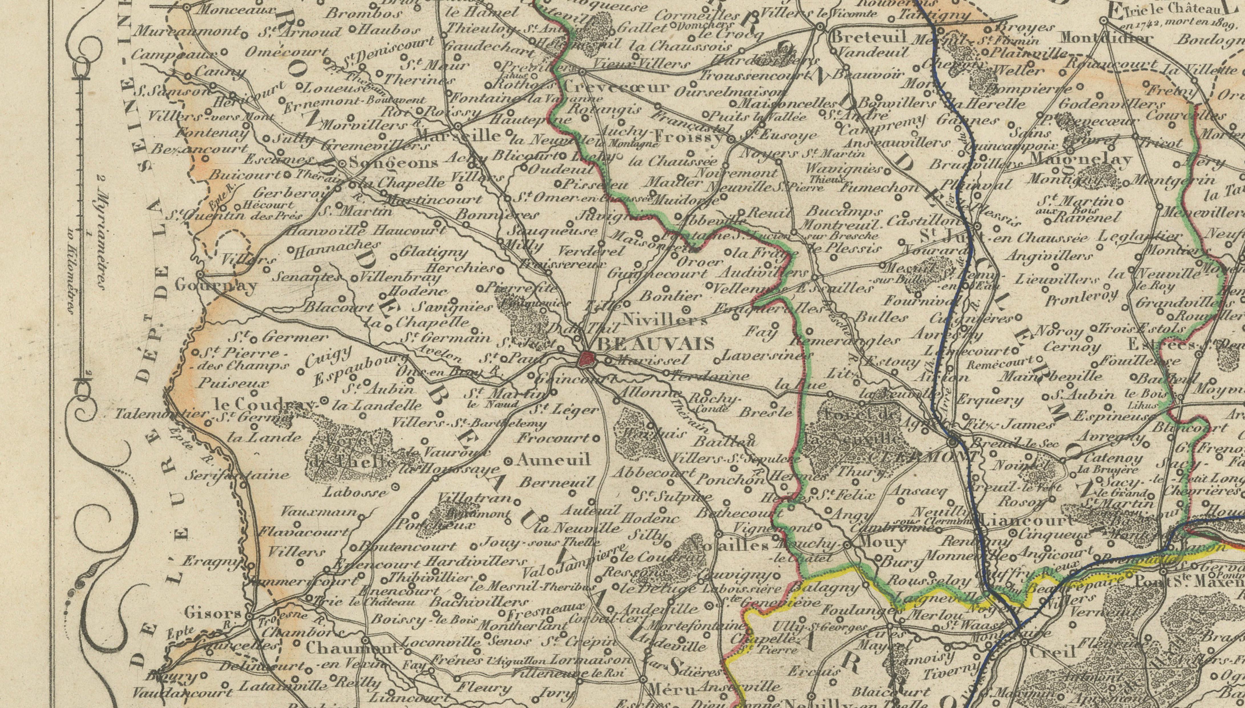
Original antique map of the French department of Oise, published in Paris around 1850 by the French cartographer Alexandre Vuillemin.
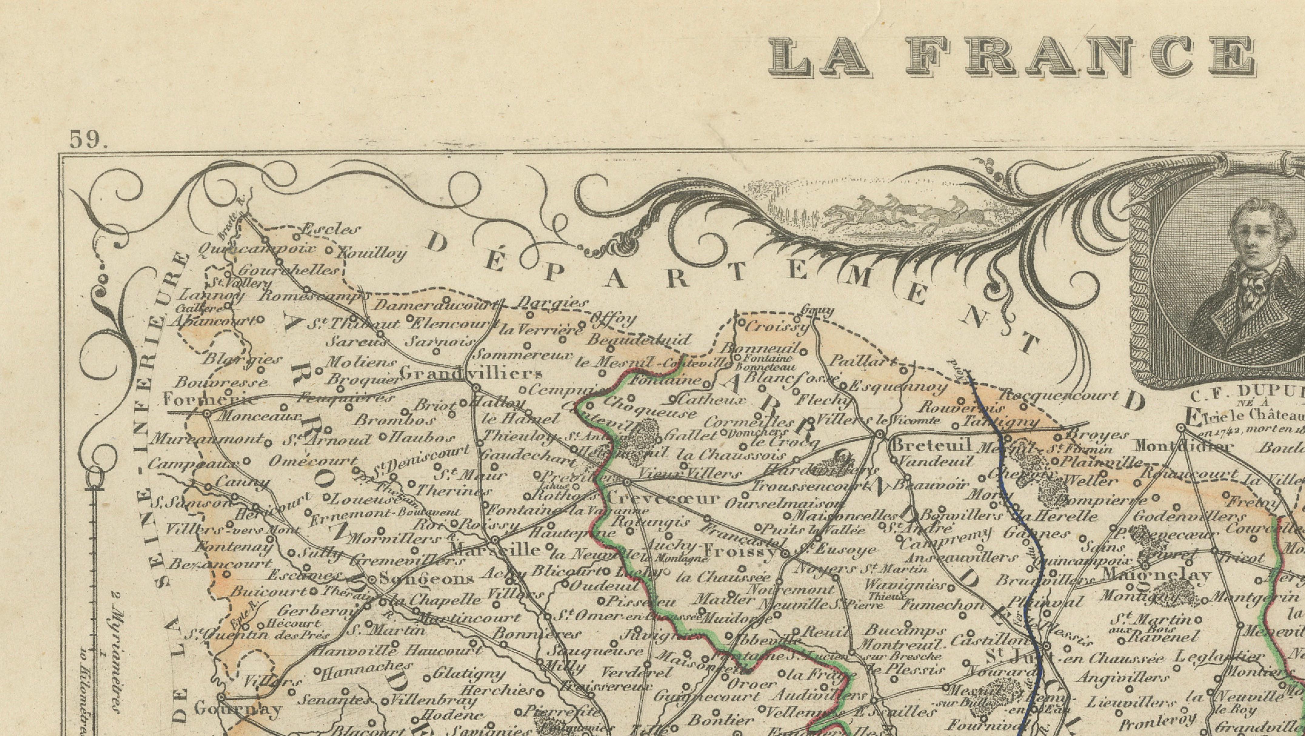
The map was issued as part of Vuillemin’s celebrated decorative atlas La France Illustrée, admired for its combination of detailed regional cartography, historical portraiture and ornamental engraving.
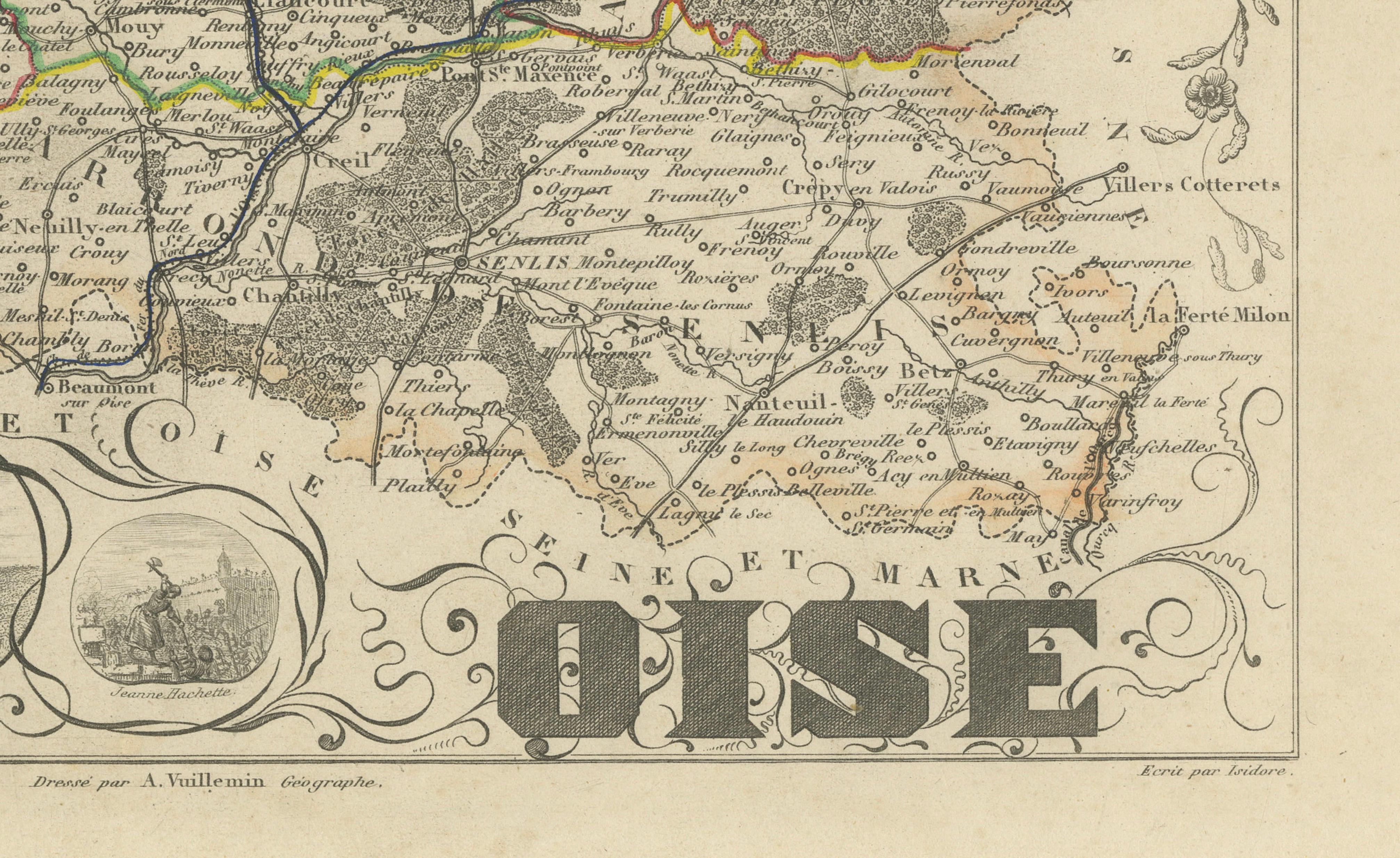
Numbered 59, the map depicts the towns, villages, roads, rivers and administrative boundaries of Oise. Selected borders and routes are enhanced with original hand colouring.
Notable places shown include Beauvais, Compiègne, Senlis, Chantilly, Creil, Clermont, Noyon, Pierrefonds, Crépy-en-Valois, Méru, Chaumont-en-Vexin, Breteuil, Montdidier, Pont-Sainte-Maxence, Verberie, Liancourt, Mouy and numerous smaller communities throughout the historic Picardy region.
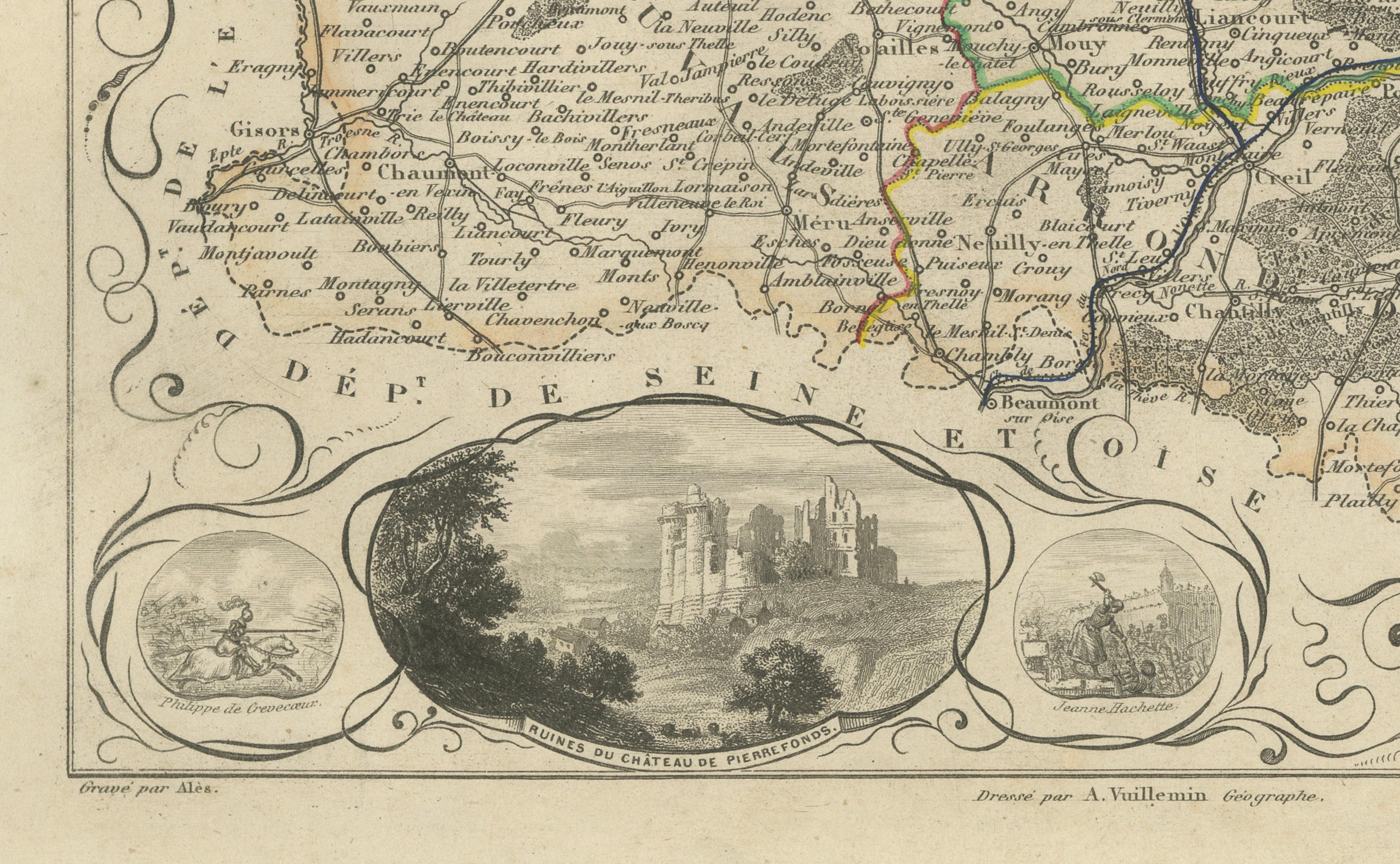
The decorative composition includes a portrait of the French scholar C. F. Dupuis, together with vignettes representing Philippe de Crèvecœur and Jeanne Hachette. A large central view shows the romantic ruins of the Château de Pierrefonds before its extensive nineteenth-century restoration.
The department is especially associated with the Château de Chantilly, the Palace of Compiègne, Beauvais Cathedral, the Château de Pierrefonds and the historic town of Senlis. The region is also known for Chantilly cream, traditional Picardy cuisine and its close connections with French royal and architectural history.
An attractive map for collectors of French cartography, Picardy history, château architecture and nineteenth-century decorative engravings.
This is an original antique engraving and not a modern reproduction. It is offered unframed. Any framed images are shown for presentation and interior inspiration only.
Technique: Engraving with original hand colouring
Maker: Alexandre Vuillemin
Place of Publication: Paris, France
Date: Circa 1850
Source: La France Illustrée
Department: Oise, number 59
Region: Historic Picardy, Hauts-de-France
Condition:
Good antique condition with general age-related toning, scattered foxing, handling creases and minor marks. A visible vertical crease runs through the sheet, with additional light wrinkles and minor wear around the margins. The original hand-coloured boundaries remain attractive and clearly visible. Wear is consistent with age and use. Please examine the images carefully as they form an important part of the condition description.
Keywords:
Alexandre Vuillemin, antique Oise map, Oise France map, historic Picardy map, Hauts-de-France map, Beauvais antique map, Beauvais Cathedral, Compiègne map, Château de Compiègne, Palace of Compiègne, Senlis antique map, historic Senlis, Chantilly map, Château de Chantilly, Chantilly castle, Chantilly cream, Musée Condé, Creil map, Clermont Oise, Noyon map, Noyon Cathedral, Pierrefonds map, Château de Pierrefonds, Pierrefonds castle, Pierrefonds ruins, Crépy-en-Valois, Méru map, Chaumont-en-Vexin, Breteuil Oise, Pont-Sainte-Maxence, Verberie map, Liancourt map, Mouy map, Oise River, Thérain River, French château map, French castle decor, La France Illustrée, decorative French map, French departmental map, nineteenth-century cartography, antique French engraving, original hand colouring, C. F. Dupuis, Charles-François Dupuis, Jeanne Hachette, Philippe de Crèvecœur, French historical portrait, Picardy history, French royal residences, Napoleon Compiègne, medieval France, Gothic architecture, French architectural heritage, Picardy cuisine, ficelle picarde, flamiche aux poireaux, gâteau battu, Bray Picard cheese, Rollot cheese, French regional food, Francophile gift, library wall art, office decor, château interior, collector’s map, original antique map