About this sheet

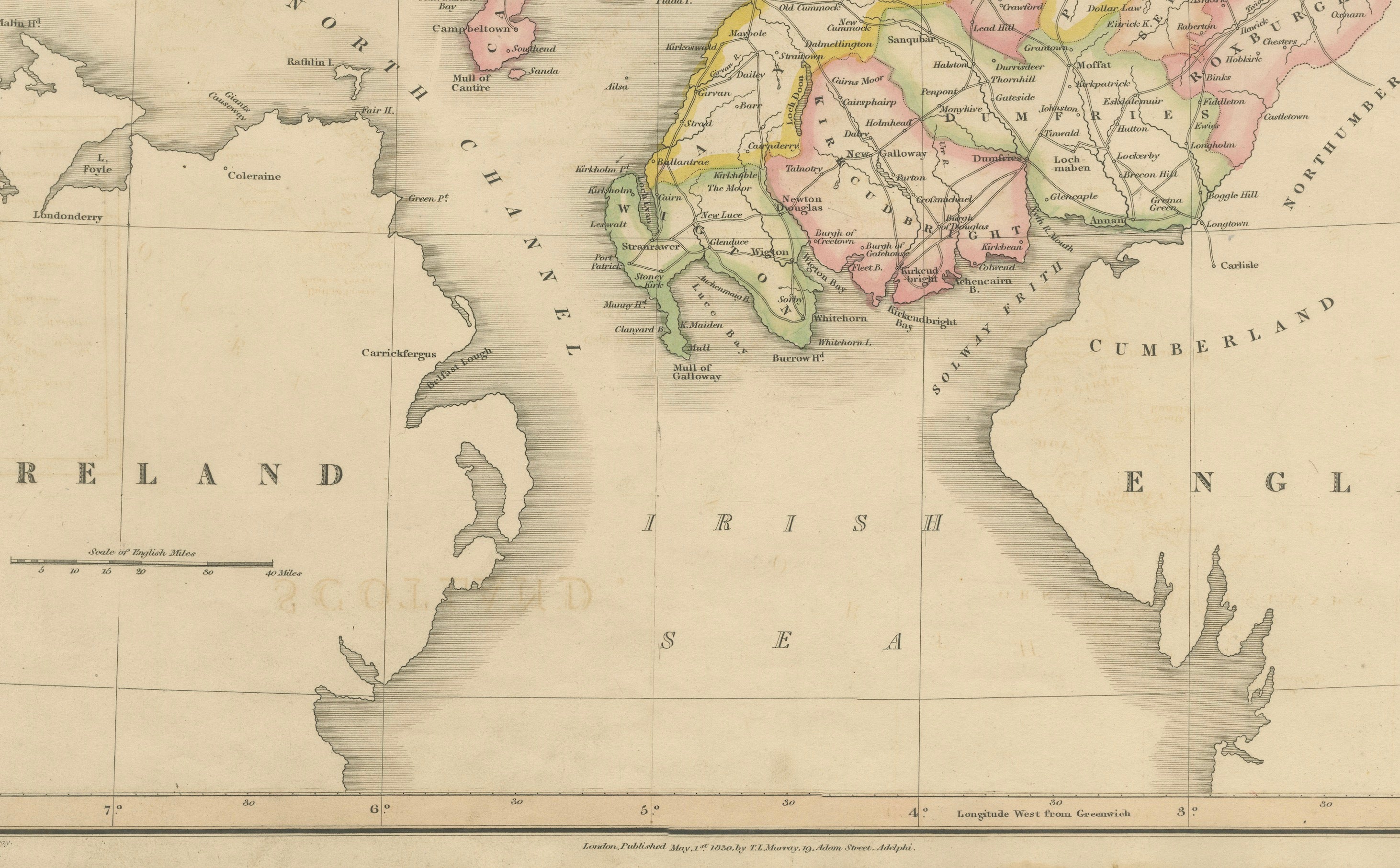
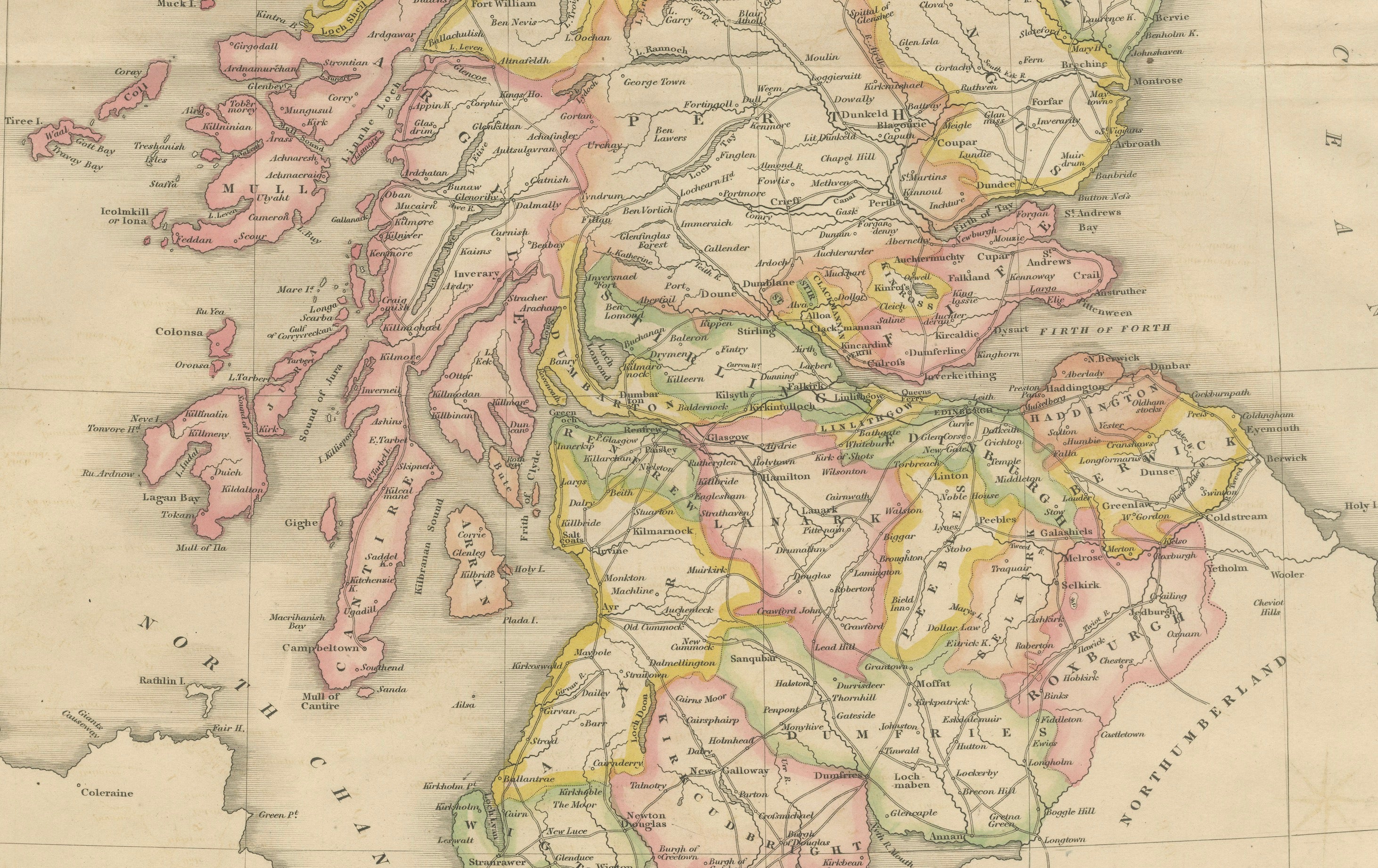
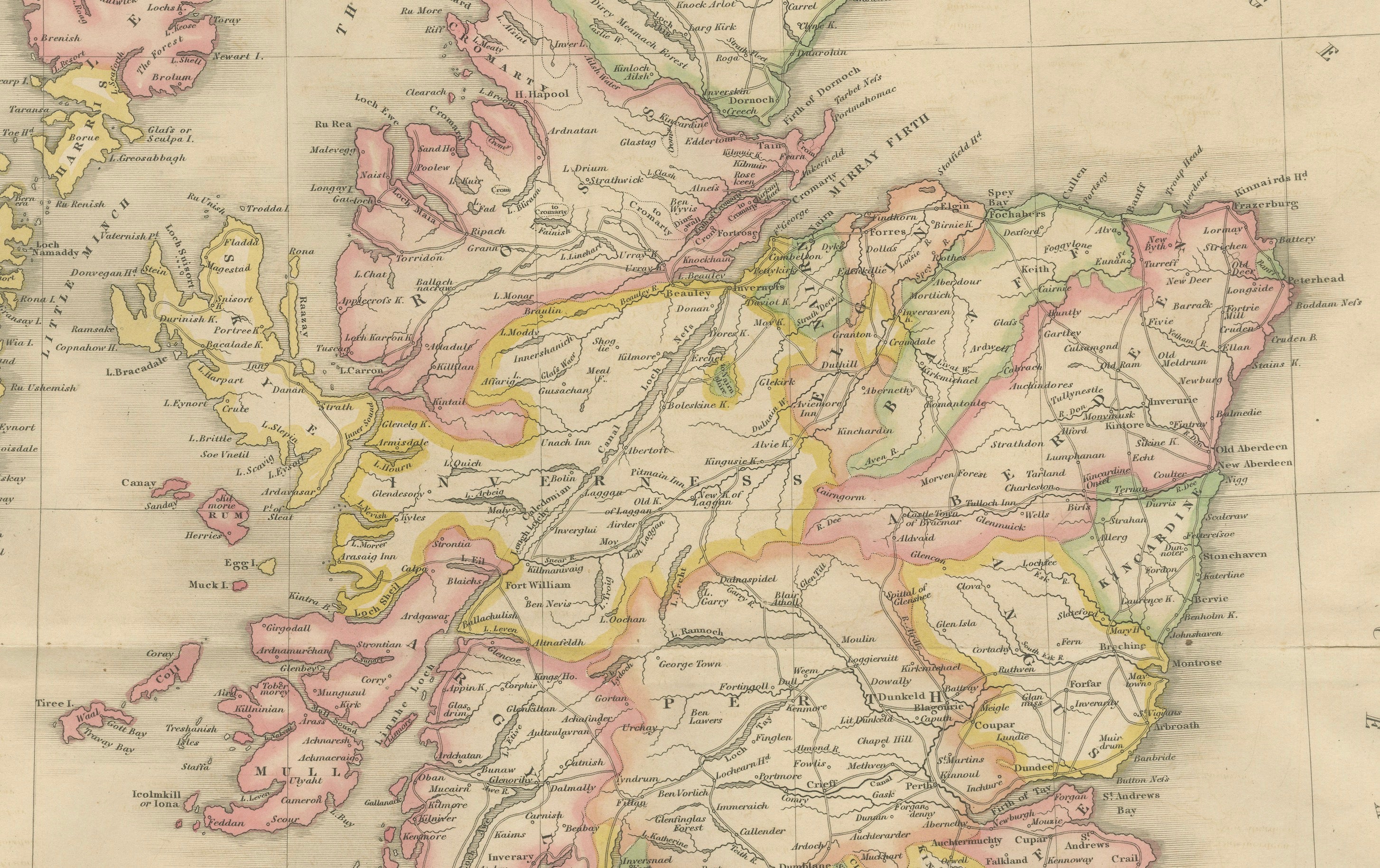
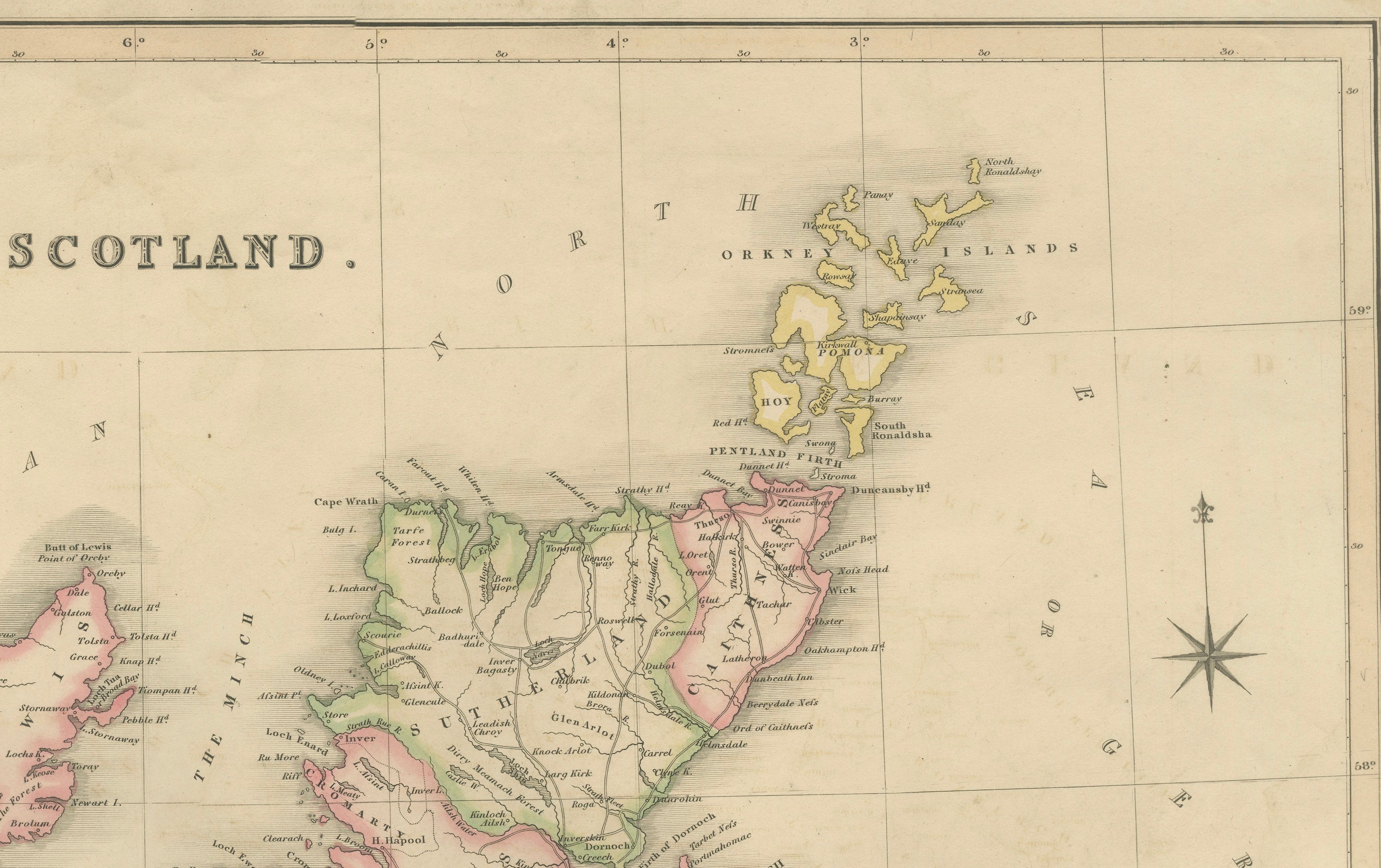
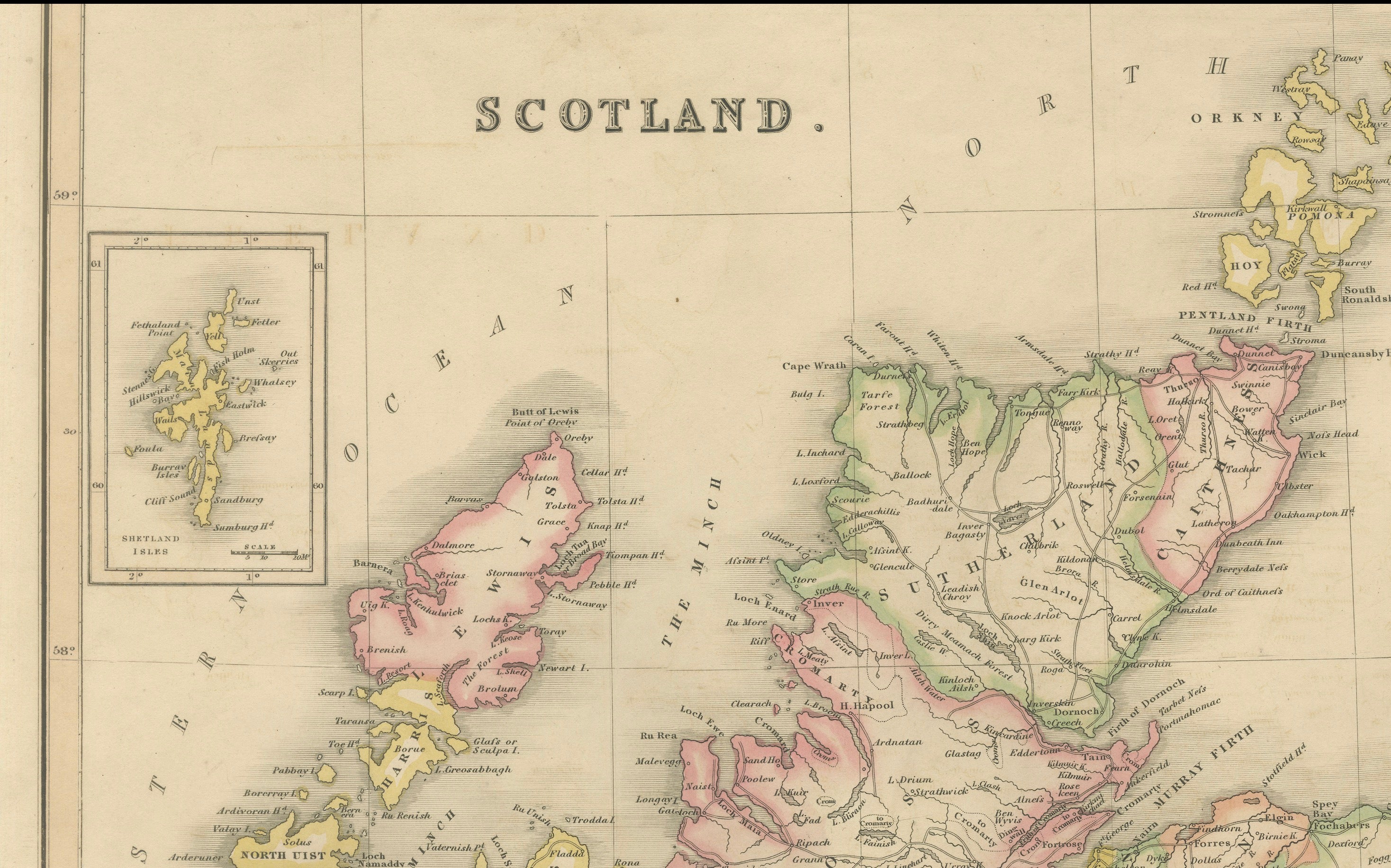
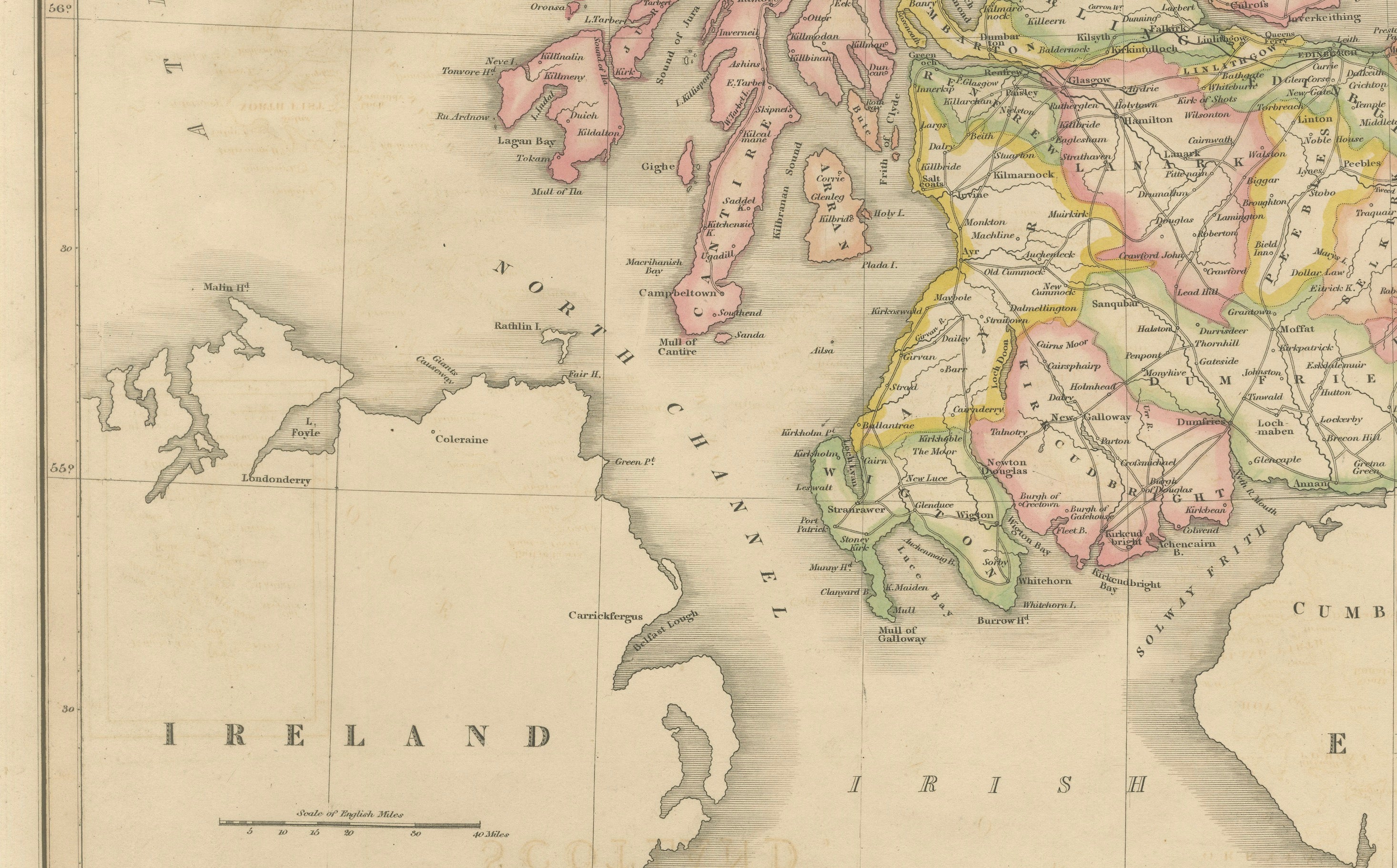
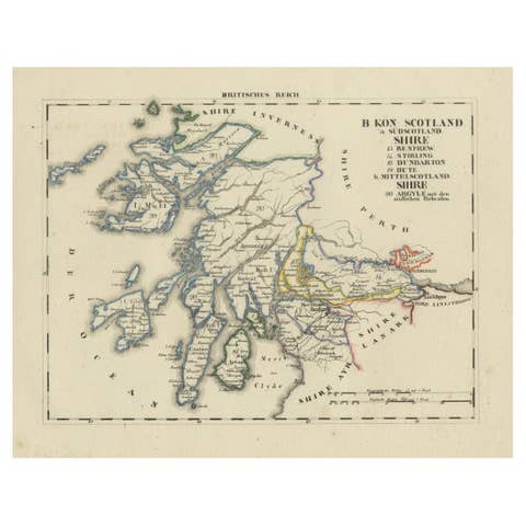
Original antique engraved map of Scotland by Thomas Laurie Murray, published in London in 1830. A finely detailed large-format map extending from the English border north to the Orkney Islands, with the Hebrides prominently depicted along the western coast. Counties are distinguished with attractive contemporary hand-applied outline and wash colouring. The map includes an inset of the Shetland Islands at upper left, a compass rose in the North Sea, mileage scale, towns, roads, rivers, lochs, islands and numerous geographical details. An elegant and highly decorative early 19th-century map of Scotland retaining its original period colouring.
CARTOGRAPHER: Thomas Laurie Murray (T. L. Murray)
DATE: 1830
ORIGIN: London, England
MEDIUM: Copperplate engraving with contemporary hand colouring on paper
DIMENSIONS: 69 × 46 cm (27.2 × 18.1 in.)
SUBJECT: Scotland, including the Hebrides, Orkney Islands and inset map of the Shetland Islands
STYLE / PERIOD: Georgian / Early 19th Century
CONDITION: Good antique condition with original folds, some offsetting, age-related toning and light dust soiling. Minor marks and handling wear consistent with age. Please study the photographs carefully.
FRAME / PRESENTATION: Sold unframed. Any framed or interior images shown are for presentation and inspiration only.
KEYWORDS: Scotland map, antique Scotland map, Scottish map, Thomas Laurie Murray, T L Murray, 1830 map, Georgian map, hand coloured map, British Isles, Hebrides, Orkney Islands, Shetland Islands, cartography, antique geography, 19th century map, historical Scotland, Scottish Highlands, original antique map
SKU / INVENTORY: BG-14360-1