Maps & PrintsBartele Gallery · Langweer
Home / Antique Maps / Asia / South Asia / India & Ceylon

India & Ceylon · 19th century

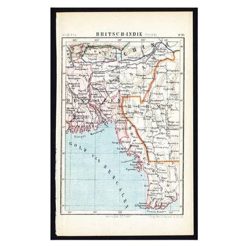
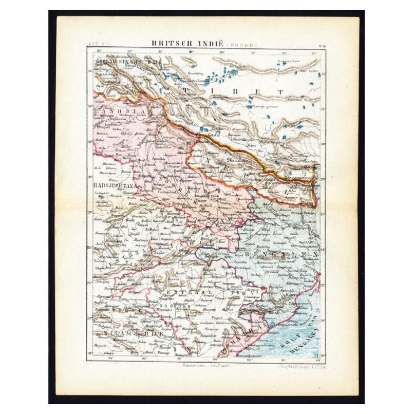
Antique Map of Northern India 'British Indies', C.1880

€ 65

Original antique · The actual sheet photographed · Certificate of authenticity on request · Sold unframed · Worldwide shipping from € 15 (rates)

Date
1880
Sheet size
24 × 19 cm (9.4 × 7.5 in)
Condition
Good
Reference
PCT-25677

About this sheet

Plate 56 : 'Britsch-Indie, Noord.' (British Indies, North). This lithographed map originates from: 'Wereld-atlas voor Kantoor en Huiskamer' (transl: World Atlas for the office and living room), by J. Kuyper, published in 1880 - 1882 in Amsterdam, The Netherlands by G. L. Funke.

Artists and Engravers: Jacob Kuyper (1821 - 1908), Dutch cartographer.

Condition: Good. General age-related toning. Please study image carefully.
Date: c.1880
Overall size: 19 x 24 cm
Image size: 0.001 x 15 x 20.5 cm.

More from India & Ceylon

Ask about this sheet

Antique Map of Northern India 'British Indies', C.1880
1880 · Ref. PCT-25677 · € 65
We reply by email, usually within one working day.