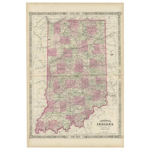
Vintage Cartographic Collection Set of India Explored - W. G. Blackie's 1859
€ 400
One of a kind: this is the sheet in the photographs. Ships from Langweer, the Netherlands.
Date
1859
Sheet size
37 × 54 cm (14.6 × 21.3 in)
Condition
Good
Reference
BG-12685-1-44,45
Condition
Minor structural damages. General age-related toning. some foxing, Please study image carefully.
About this sheet
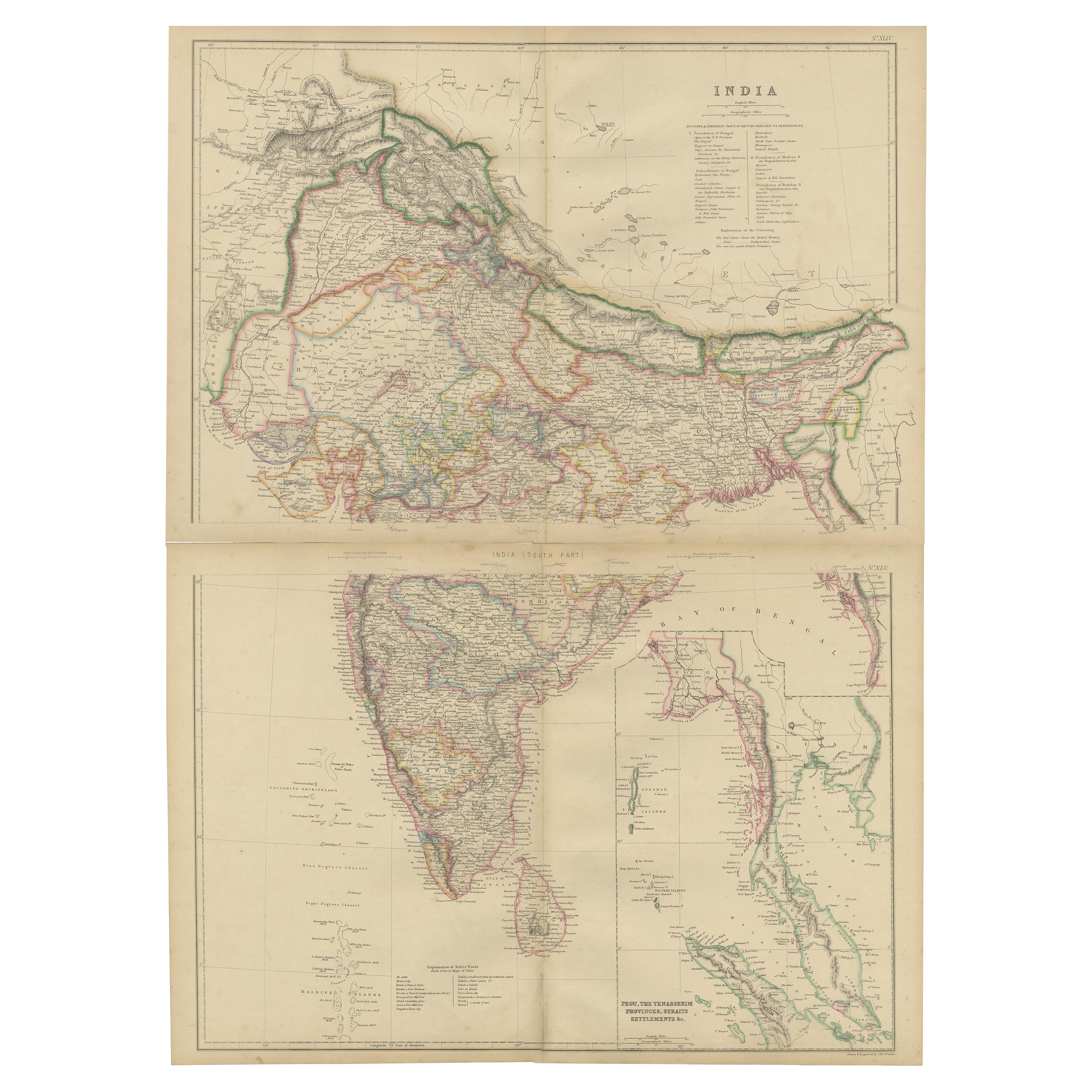
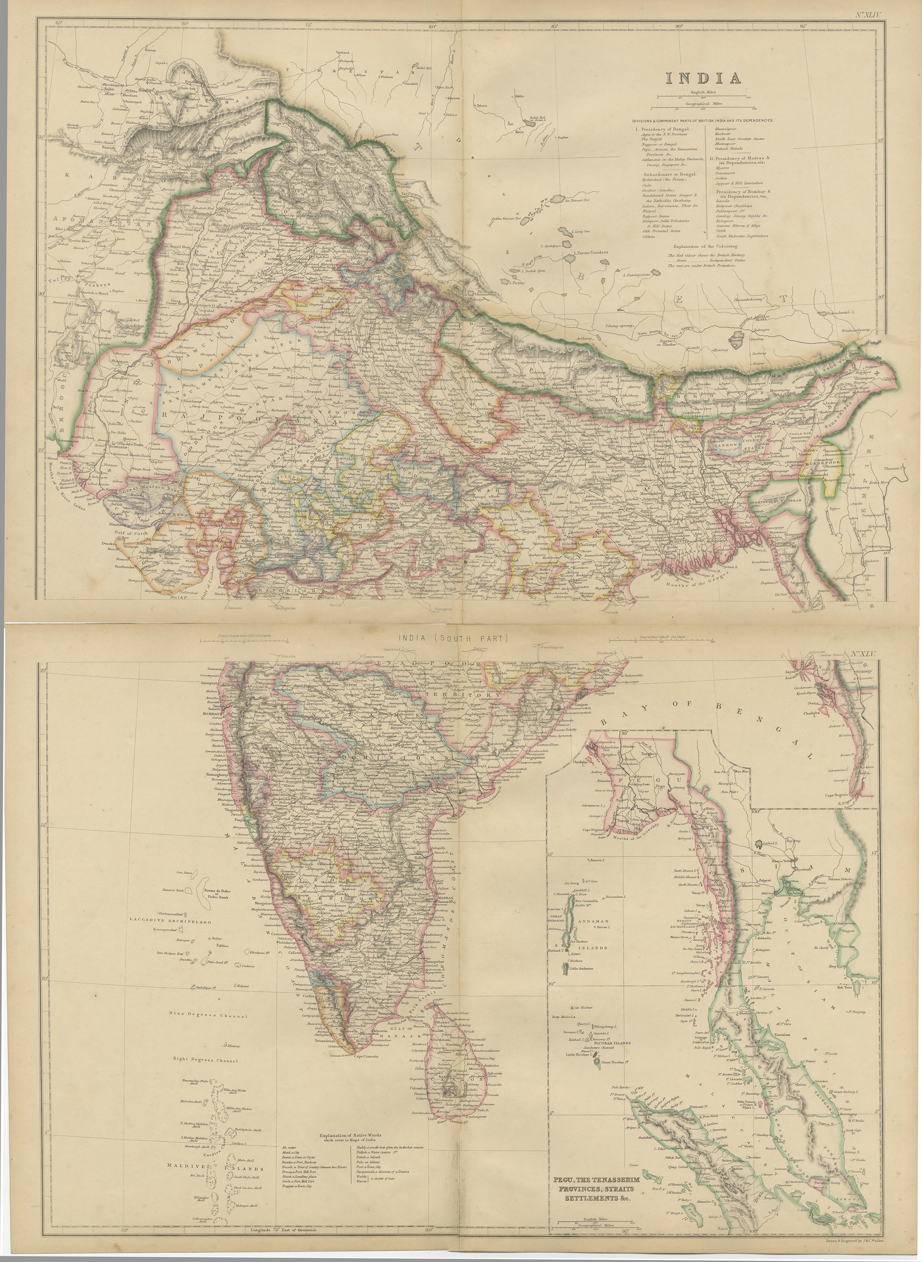
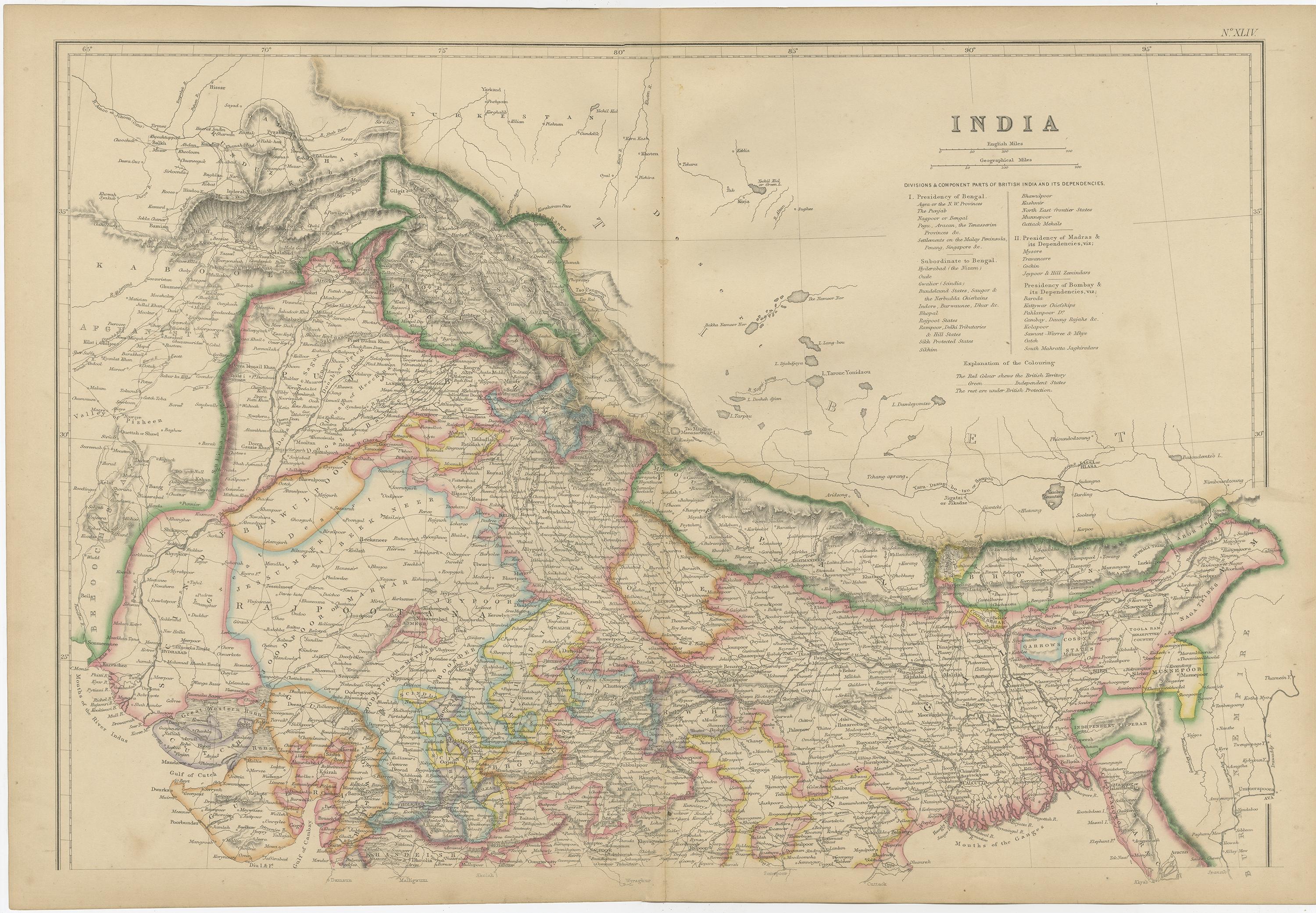
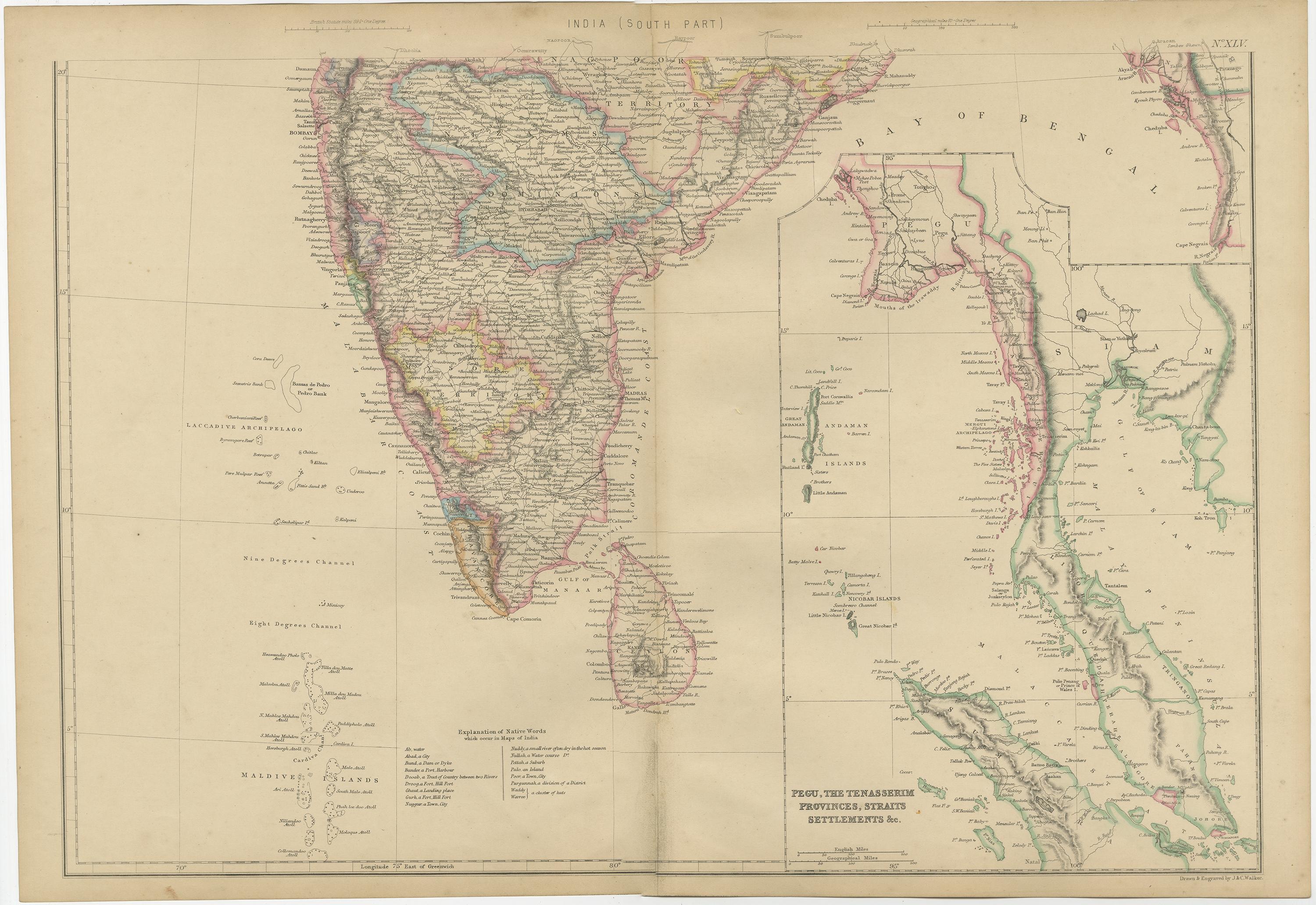
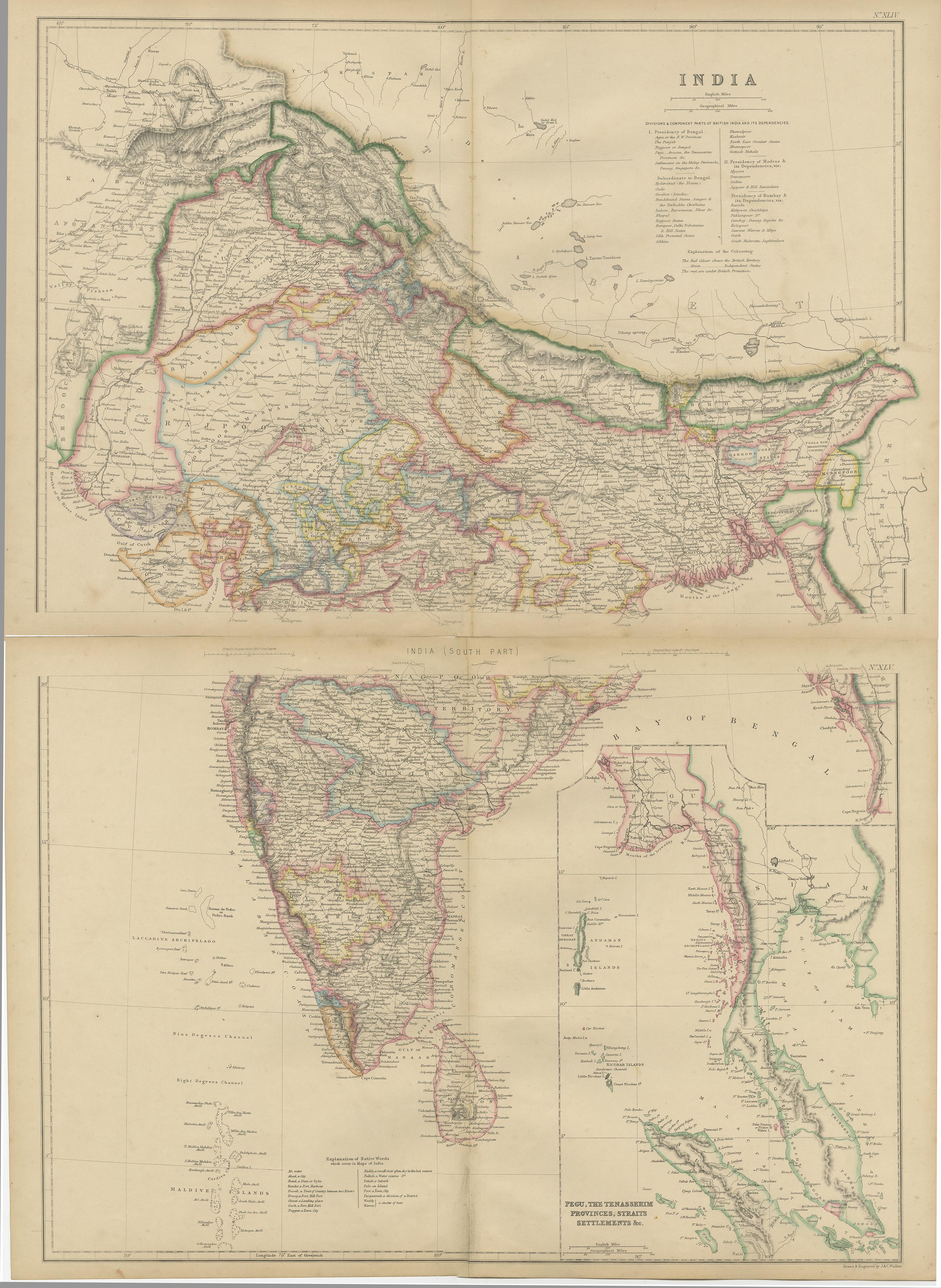
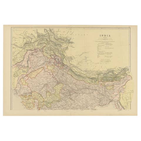
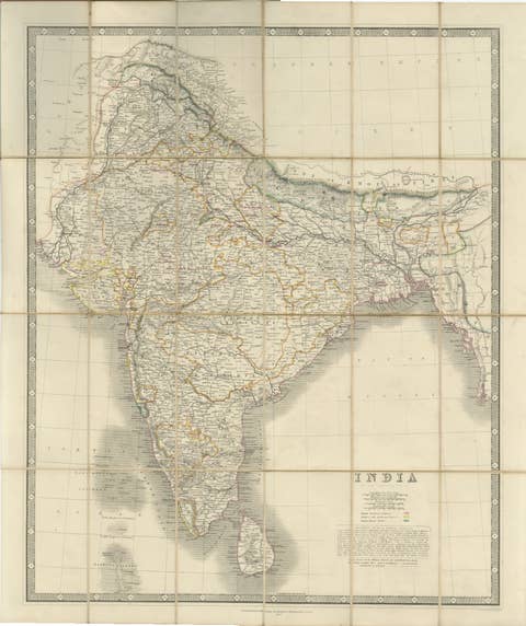
Antique map titled 'India'. Original antique map of India with inset maps of Pegu, the Tenasserim Provinces, straits settlements. This map originates from ‘The Imperial Atlas of Modern Geography’. Published by W. G. Blackie, 1859.
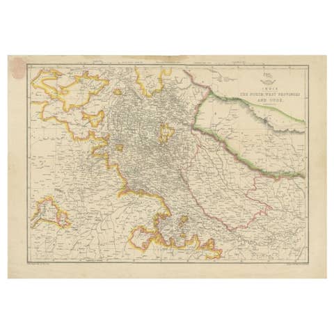
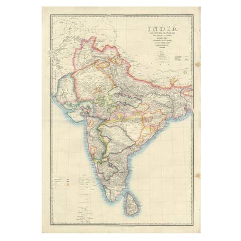
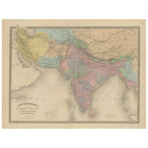
The "Vintage Cartographic Collection: India Explored - W. G. Blackie's 1859 Antique Map Set" is a pair of detailed, historical maps crafted by W. G. Blackie in 1859. These maps showcase India's geography during the mid-19th century, a period of significant historical and cultural importance.
1. **Map One** focuses on the northern regions of India, displaying intricate details of terrain, major rivers like the Ganges, and key cities of the time. The map is adorned with ornate borders and includes annotations in a stylized script, providing insights into the political divisions and important landmarks of the era.
2. **Map Two** covers the southern part of India, featuring the peninsular region with its distinct topography. This map is equally detailed, highlighting coastal lines, major ports, and the distribution of princely states and British territories. Similar to the first, it includes decorative elements and annotations that add to its historical value.
Both maps are characterized by their aged, parchment-like background, with color highlights used sparingly to emphasize important features. The craftsmanship of the maps reflects the cartographic techniques of the 19th century, making them valuable for historians, collectors, and enthusiasts of antique maps.