Maps & PrintsBartele Gallery · Langweer
Home / Antique Maps / Asia / East Asia / China

China · 19th century

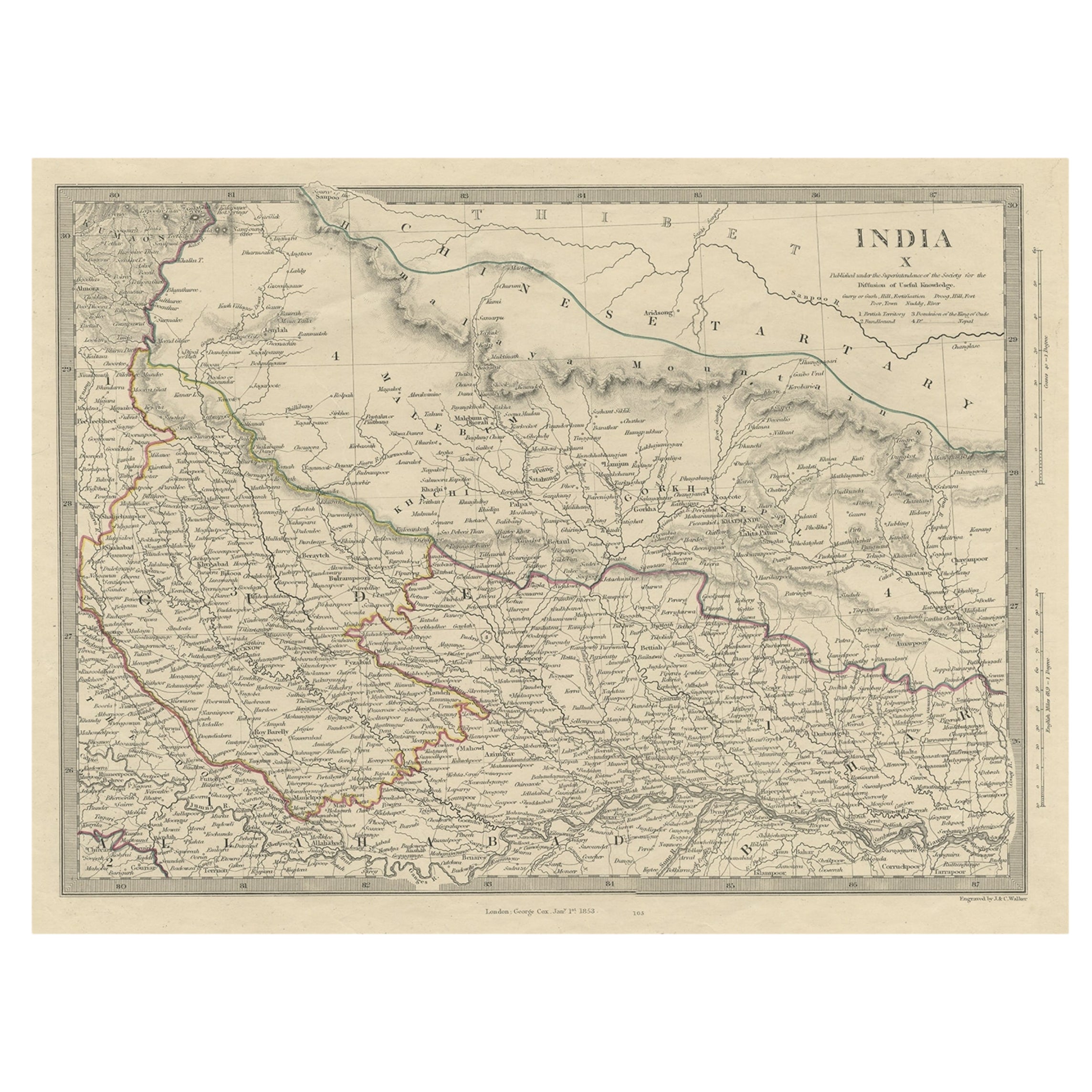
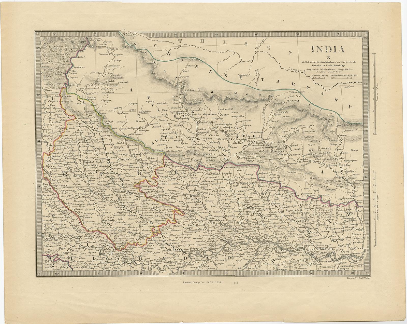
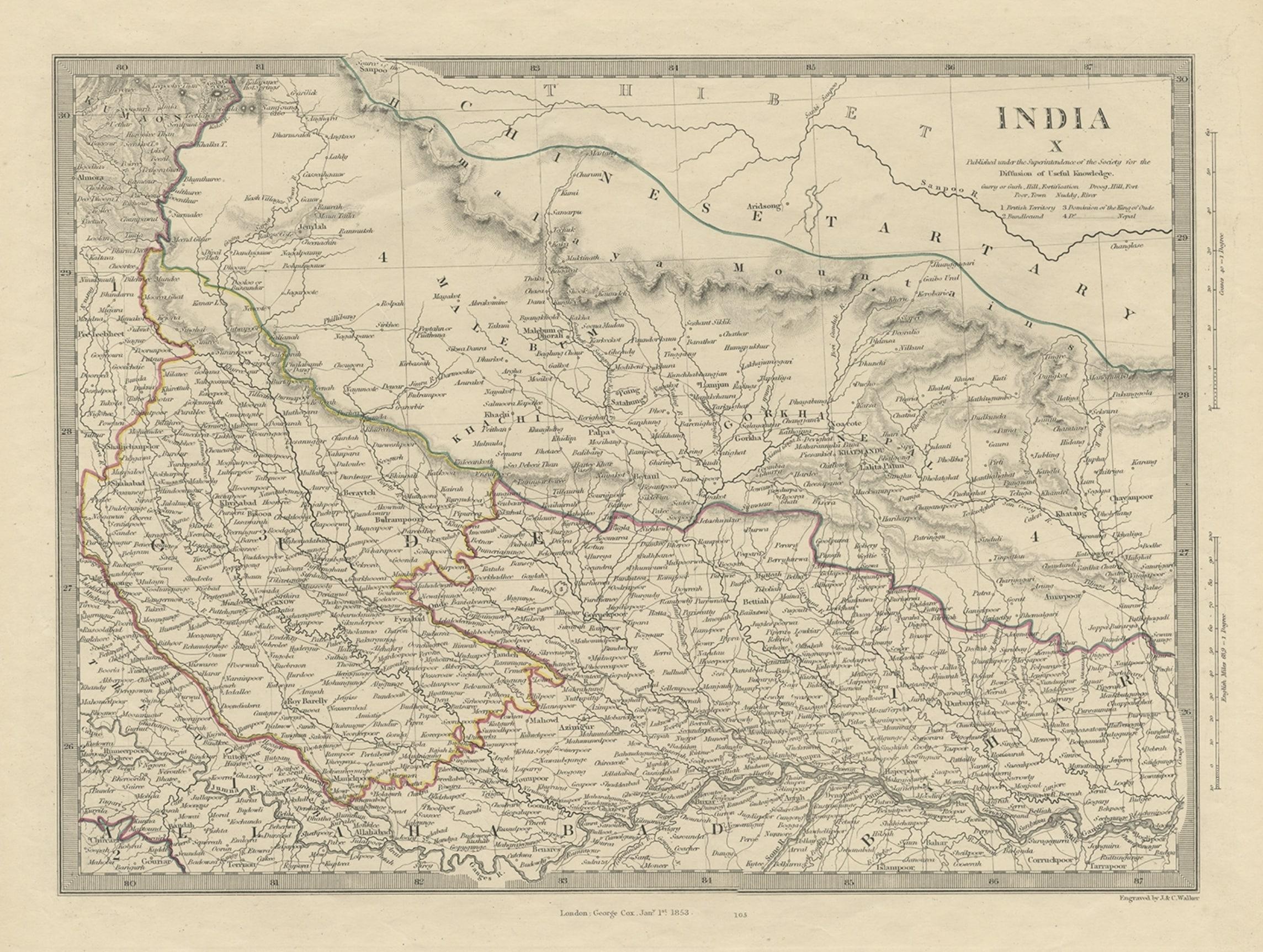
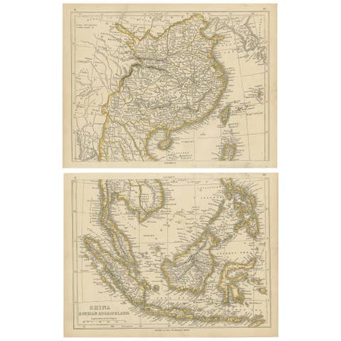
Original Old Map Northeast India, incl Part of Himalayas and China, 1853

€ 190

Original antique · The actual sheet photographed · Certificate of authenticity on request · Sold unframed · Worldwide shipping from € 15 (rates)

Date
1853
Sheet size
86.36 × 106.68 cm (34.0 × 42.0 in)
Condition
Fair
Reference
BGJC-00258

Condition

Age-related toning and creasing. Please review the images for further condition details.
About this sheet

Antique map titled 'India X'.

Old map of the the northeast region of India, including part of Himalayas and China. Great detail of landforms, rivers and water bodies, cities, towns, and ports.

Artists and Engravers: Published by G. Cox, London.

Condition: Fair, age-related toning and creasing. Please study image carefully.

More from China

Ask about this sheet

Original Old Map Northeast India, incl Part of Himalayas and China, 1853
1853 · Ref. BGJC-00258 · € 190
We reply by email, usually within one working day.