About this sheet
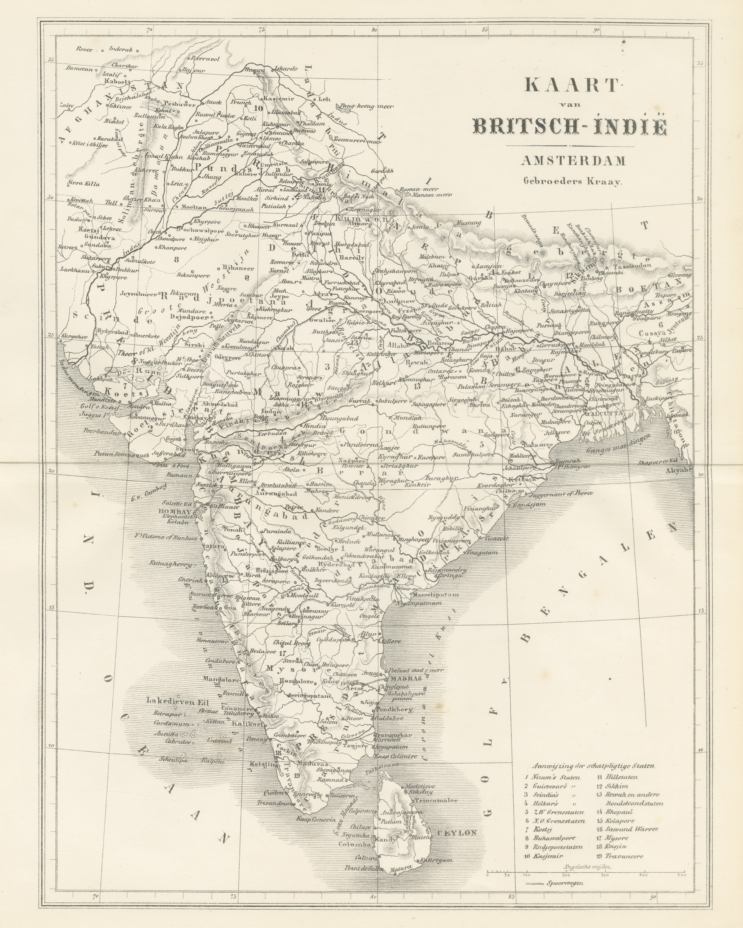
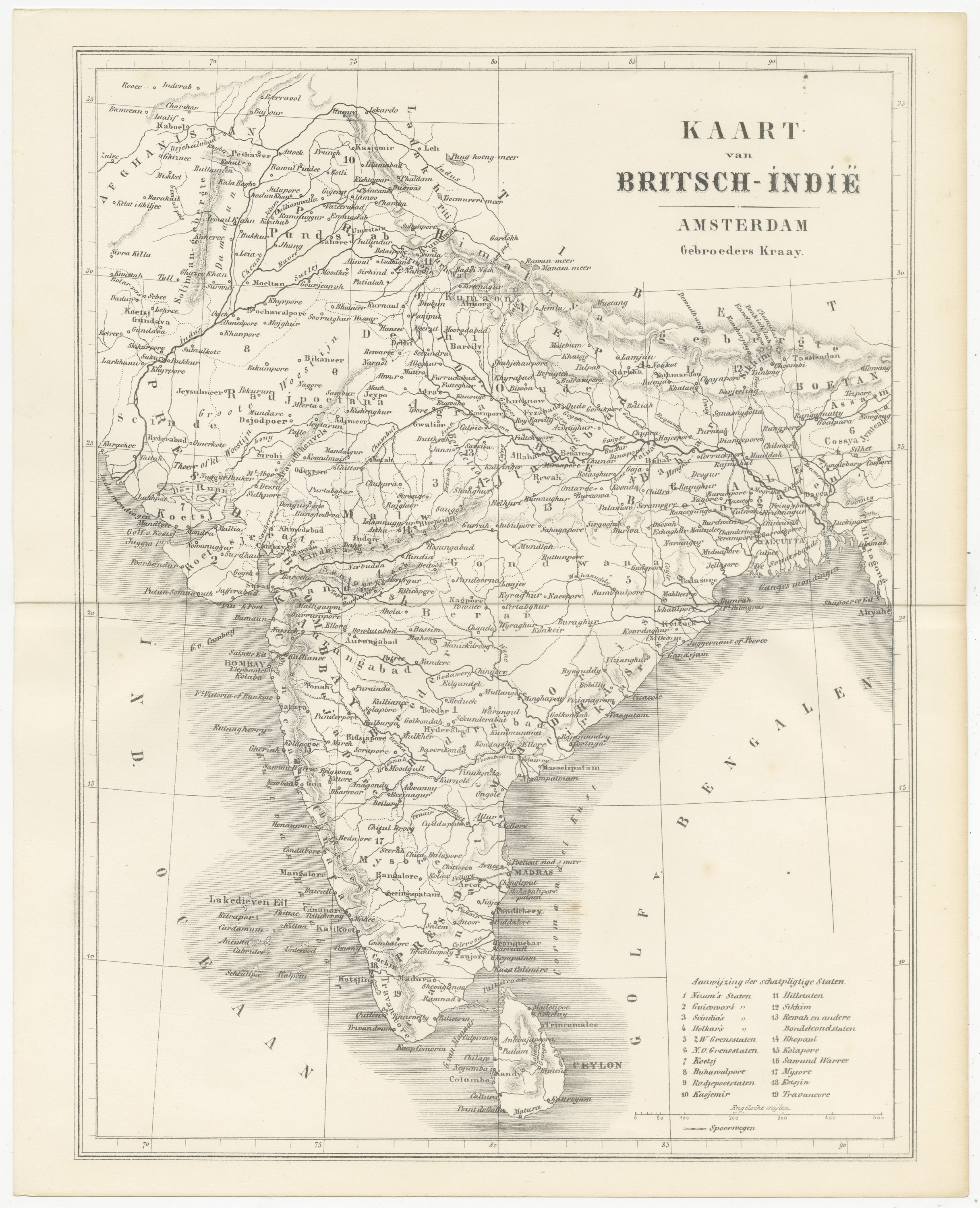
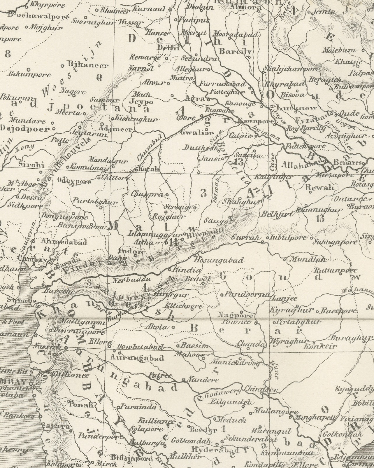
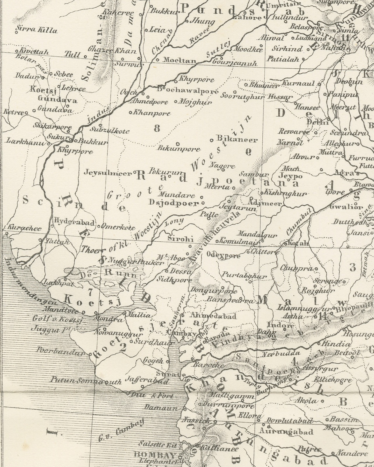
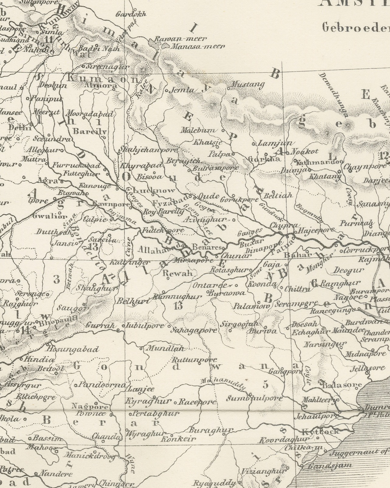
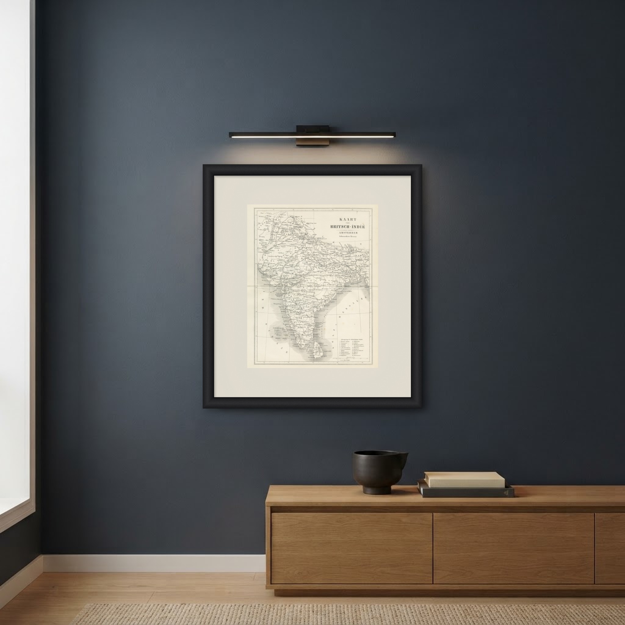
An original antique map of British India, uncolored, titled "KAART van BRITSCH-INDIË", with "AMSTERDAM" and "Gebroeders Kraay." in the title cartouche at the upper right. The map covers the subcontinent from Afghanistan, Kashmir and the Punjab in the north to Ceylon in the south, and from the Indian Ocean, lettered "IND. OCEAAN", to the Bay of Bengal, lettered "GOLF V. BENGALEN", and Assam in the east. Rivers, mountain ranges shown by hachures, boundaries and a dense network of towns are marked, with Bombay, Madras and Calcutta among them, and the coastlines are emphasized by shading in the sea. A grid of latitude and longitude runs across the sheet.
In the lower right corner a key headed "Aanwijzing der schatpligtige Staten" (key to the tributary states) numbers nineteen states, among them "Nizam's Staten", Scindia's, Holkar's, Kasjemir, Mysore and Travancore, and the same numbers appear on the map itself. Below the key is a scale of English miles, "Engelsche mijlen", and a symbol for railways, "Spoorwegen". The map is printed by lithography: its lines have the soft, slightly grainy edge of a lithographic print and the sheet carries no plate mark, unlike the steel engraved views from the same book.
The map comes from Britsch-Indië, beschreven naar de nieuwste bronnen by A. van Otterloo, published in Amsterdam by Gebroeders Kraay in 1859 as the first part, or Eerste Deel, of the series Vreemde Landen en Volken (Foreign Lands and Peoples). Its title page announces Met Vier-en-Twintig Staalgravuren en eene Kaart, twenty-four steel engravings and a map, and this is that map.
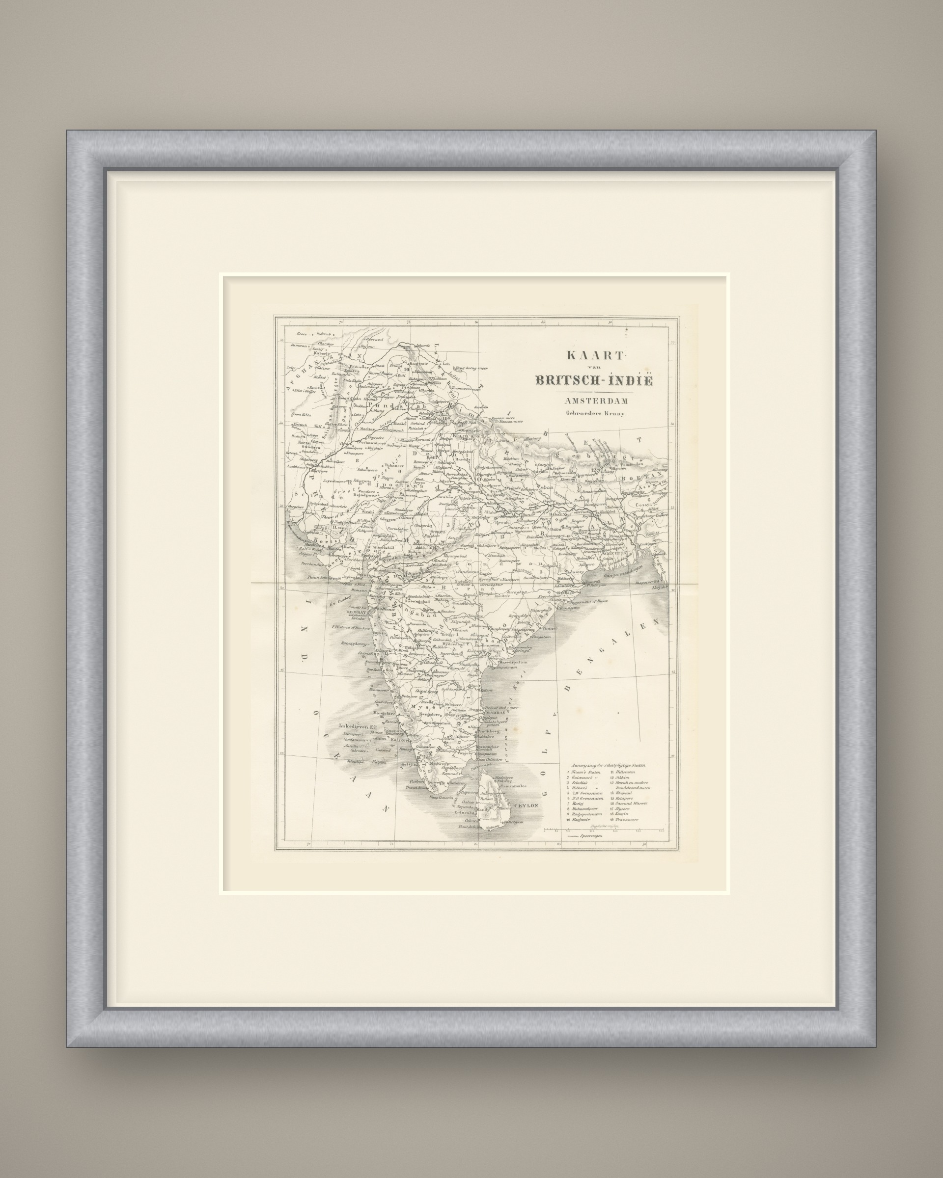
Published two years after the uprising of 1857, it records the political map of India at a turning point. The clean black and white linework looks well in a simple frame, alone or at the center of a group of views from the same book.
Condition: Complete sheet, edges straight and without nicks. Even age toning, lightly soiled along the right edge. No foxing noted in the margins. Light horizontal center fold.
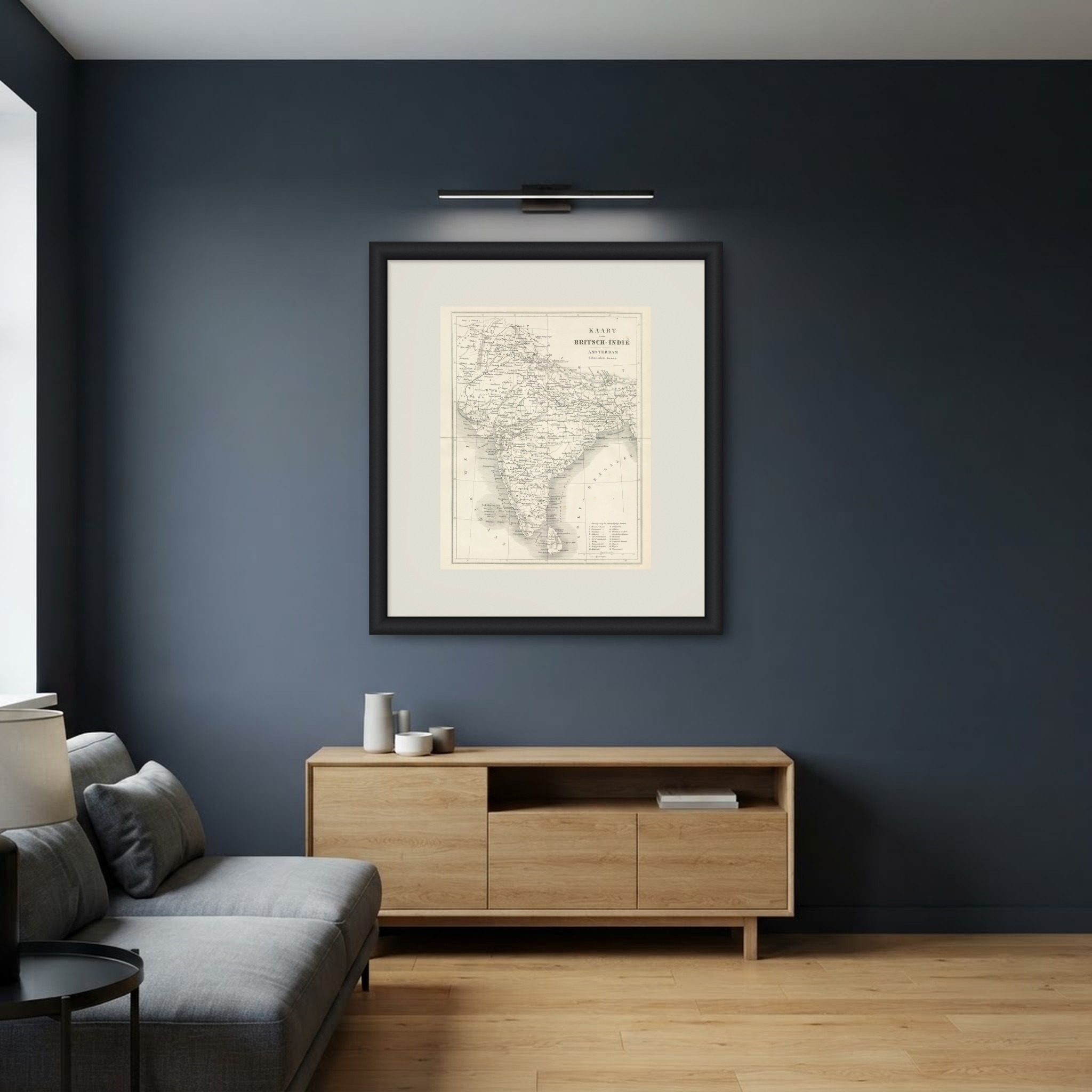
This is an original antique print, not a modern reproduction. This item is sold unframed. Any framed or interior images are shown for presentation and inspiration only, unless the listing explicitly states that the item is sold framed.