maps-prints.com
✦
Black Friday Sale
Friday 20 to Monday 30 November: up to 30% off original antique maps and prints
The terms
- Up to 30% off selected original antique maps and prints. Every piece is an original, printed in its own time; none is a reproduction.
- The sale runs from Friday 20 November to Monday 30 November. Sale prices shown here apply from Friday 20 November; until then pieces are sold at their regular price.
- Free FedEx shipping on qualifying orders placed on our own websites: USA, Canada, UK and Europe over $500 / €450; rest of the world over $750 / €675. Smaller orders pay our normal shipping rate.
- Orders placed from 15 to 30 November ship from 1 December, in time for Christmas. Our shipping partner is InXpress.
- Each piece is unique, so the sale is while stock lasts.
Collection:AllAmericanSea chartsMilitaryNatural historyFashionArchitectureBotanicalSacredEast Indies
Sale prices apply from Friday 20 November. Save the pieces you like with the heart and come back on Friday.
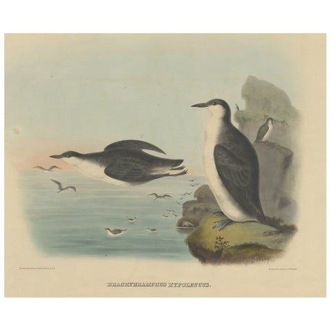 Rare Large Antique Bird Print Depicting Xantus's Murrlets, 1869
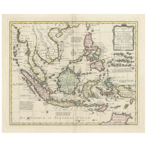 Rare Antique Map of the Dutch East Indies 'Indonesia', 1774
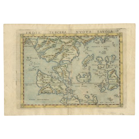 Rare and Very Old Antique Map of South East Asia, Published circa 1574
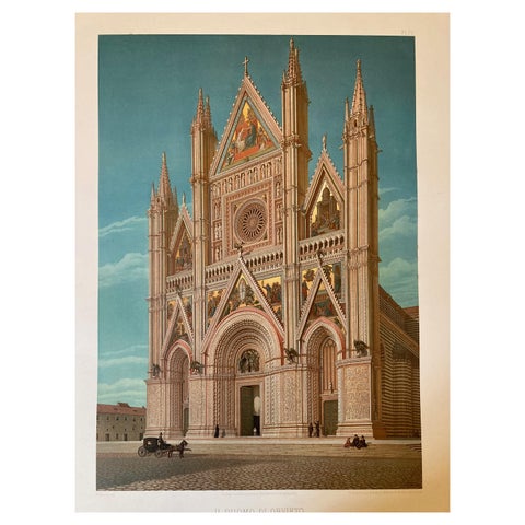 Large Polychrome Masterpieces of Monumental Art in Italy 'V to XVI Century' 1883
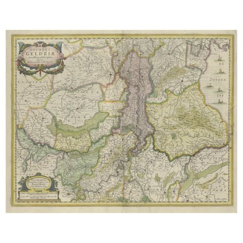 Original Hand-Colored Antique Map of Gelderland and Utrecht in the Netherlands
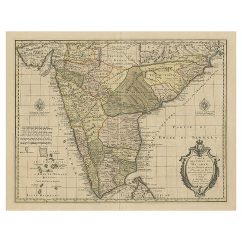 Detailed Decorative Antique Map of the Coast of Malabar and Coromandel, India
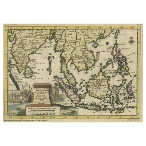 Striking Antique Map Centered on the Malay Peninsula, 1706
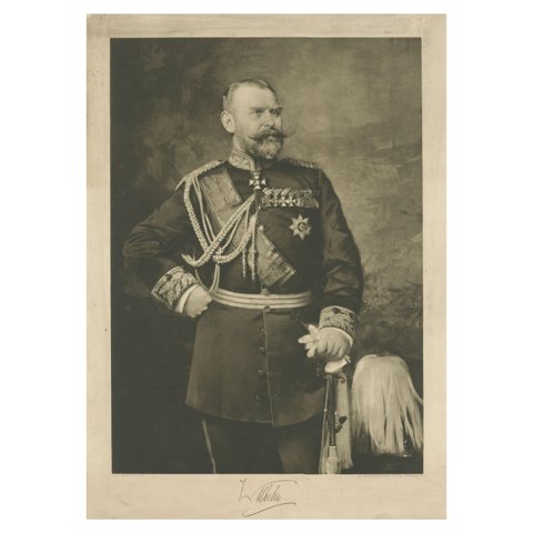 Large Antique Print of William II of Württemberg
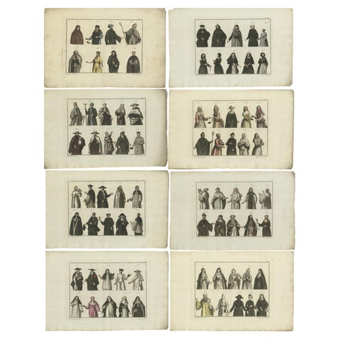 Set of 8 Antique Prints of Religious Figures and Turks in the Middle Ages
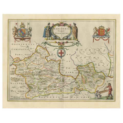 Antique Map of Berkshire, South East England
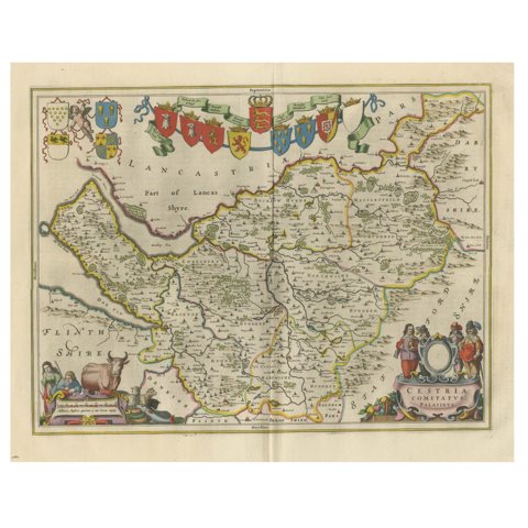 Antique Map of Cheshire, North West England
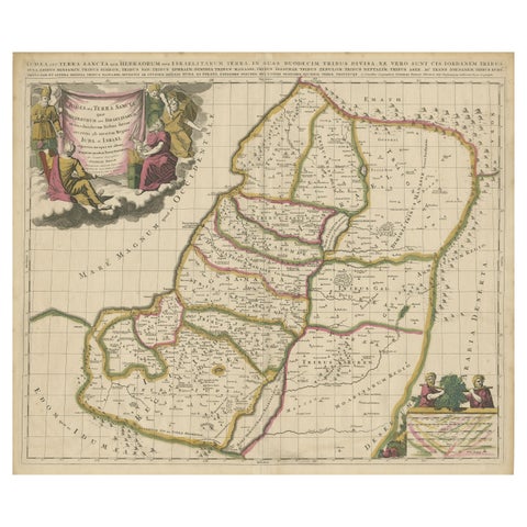 Antique Map of the Holy Land, Showing the Location of the Various Tribes
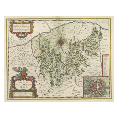 Antique Map centered on Nuremberg, Germany
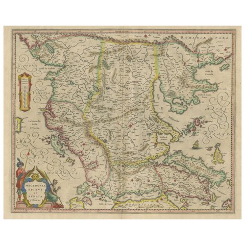 Antique Map of Macedonia, Northern Greece and part of Turkey in Europe
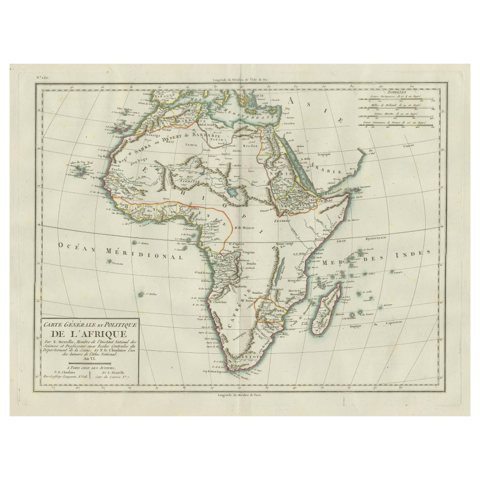 Antique Map of Africa with Mountain Ranges and other details
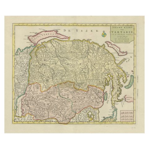 Antique Map op Siberia and Chinese Tartary with original hand coloring, 1732
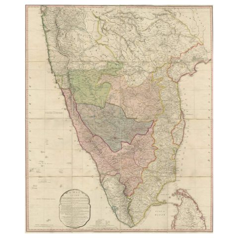 Original Antique Map of the Peninsula of India with Part of Ceylon by Wyld, 1844
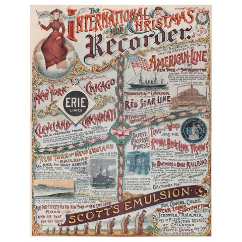 New York Recorder Poster, Christmas Edition, Original Vintage Lithograph, 1893
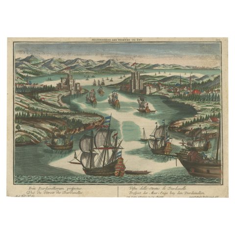 The Dardanelles in the Age of Sail: A Panoramic Etching, Ca.1765
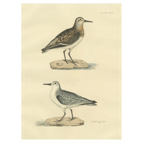 Seasonal Plumage of the Sanderling: Selby's Ornithological Study, 1826
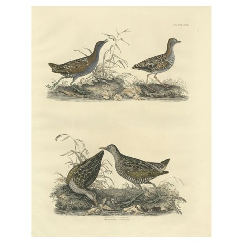 Selby's Large Illustrations of Crakes: Varieties and Gender Dimorphism, 1826
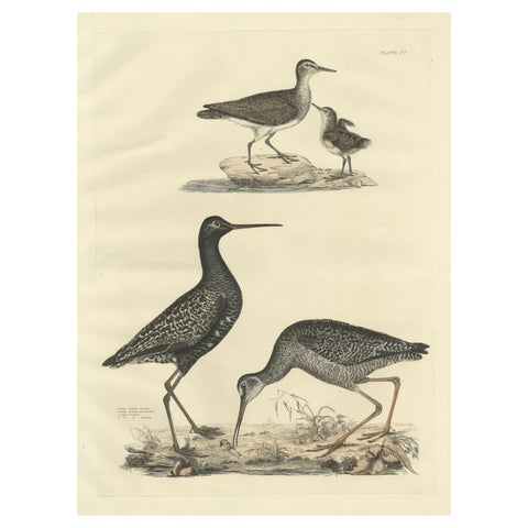 "Plate XV: The Sandpipers - A Study in Seasonal and Developmental Plumage, 1826
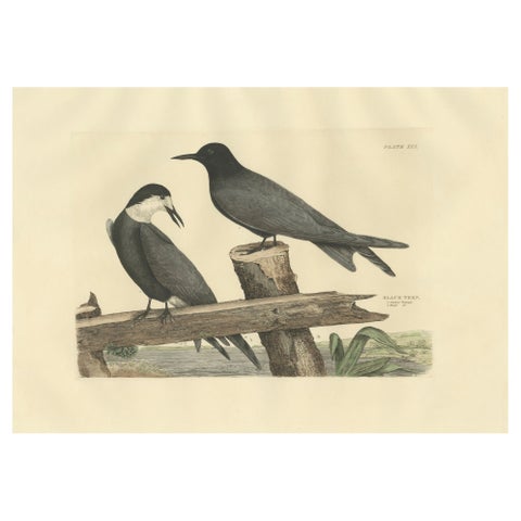 Large Engraving by Selby of The Black Tern in Seasonal Transformation, 1826
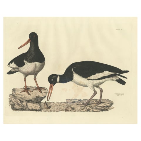 Seasonal Plumage of a Life Seize Engraving of the Common Oystercatcher, 1826
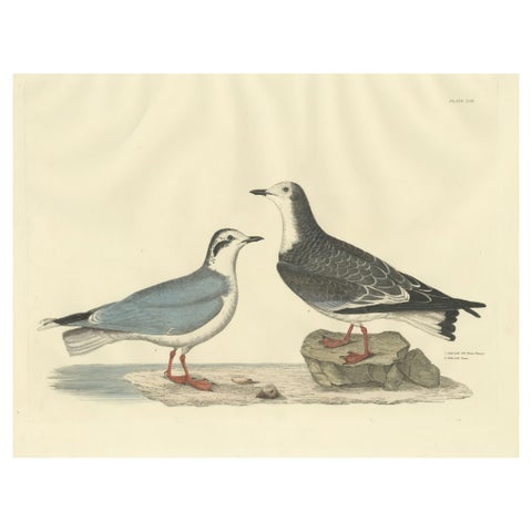 Original Handcolored Engraving of The Little Gull by Selby, 1826
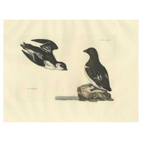 The Little Auk - A Life Seize Study Engraved in Seasonal Plumage by Selby, 1826
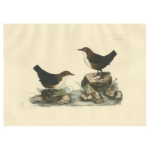 Aquatic Songbirds named Dippers Engraved by Selby and Hand-Colored, 1826
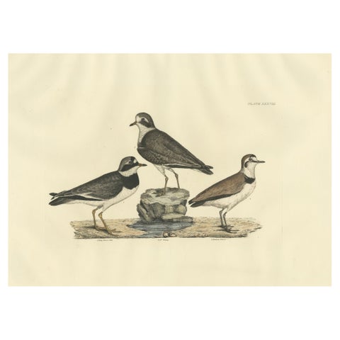 Large Engravings of Plovers in Contrast - Age and Species, 1826
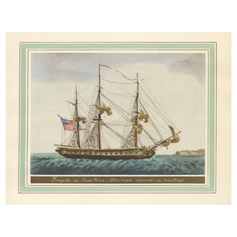 Approaching Safe Harbor: The American Frigate's Return, circa 1920
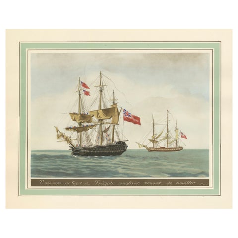 Britannia's Pride at Sea: Return from the Anchorage, circa 1920
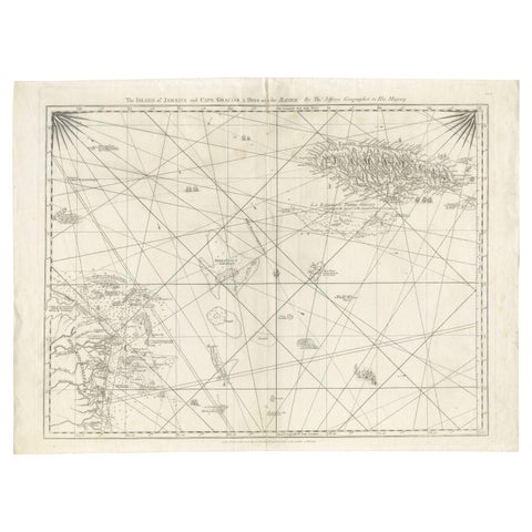 Navigational Chart of Jamaica, Cape Gracias a Dios, and the Mosquito Coast, 1775
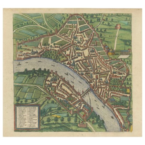 Bird’s-Eye View of Basel from Braun & Hogenberg’s Civitates Orbis Terrarum, 1575
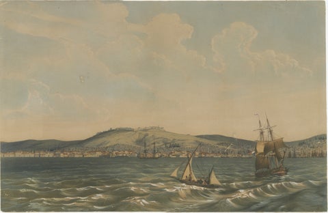 View of the Dardanelles: Fortified Hill and Ships, Hand-Colored Lithograph, 1840
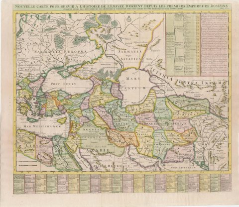 18th-Century Map of the Eastern Roman Empire by Henri Chatelain, c. 1719
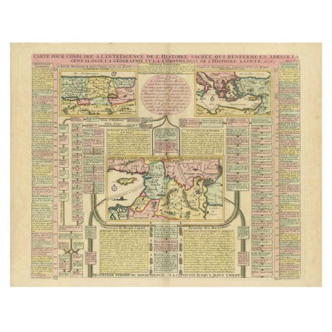 Biblical Map and Family Trees of the Holy Land by Chatelain, ca. 1720
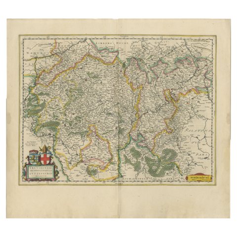 Original Antique Map of Trier and Luxembourg by Joan Blaeu, Amsterdam circa 1640
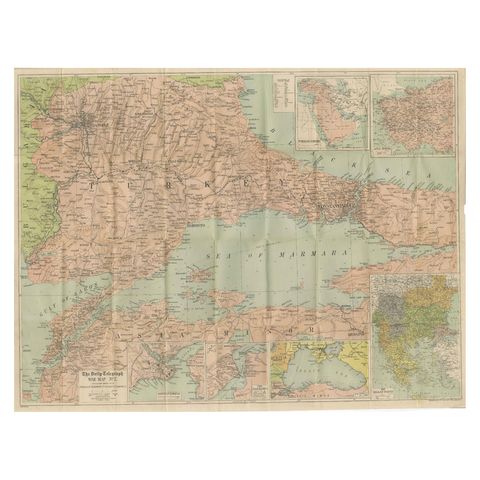 Daily Telegraph War Map 1877 – Ottoman Empire, Balkans & Constantinople Antique
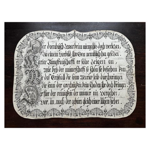 Unique 18th c. German Manuscript Broadside – Virgin Mary Devotional Poem, c.1750
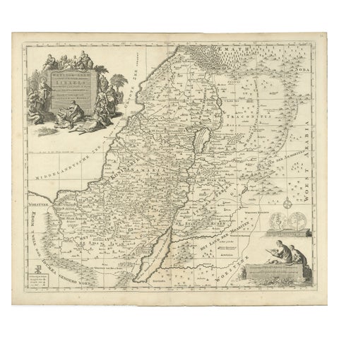 Antique Holy Land Map, Twelve Tribes of Israel – Covens & Mortier, c.1700
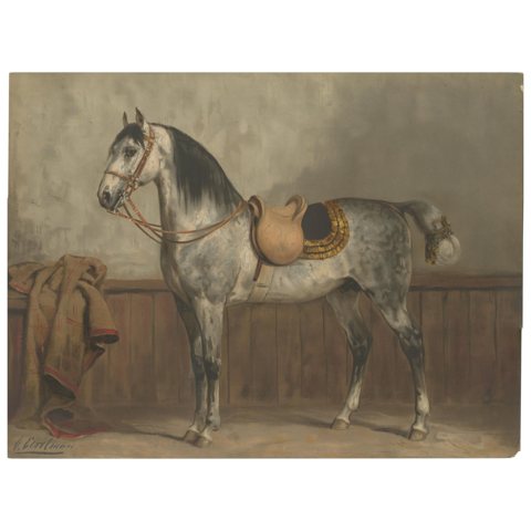 Antique Lipizzaner Horse Portrait 1898, Classical European Equestrian Lithograph
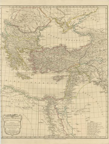 Eastern Roman World Map, Black Sea & Levant, Antique Engraving c.1818
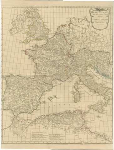 Antique Roman Empire Map – Western Mediterranean & Europe, Engraving c.1818
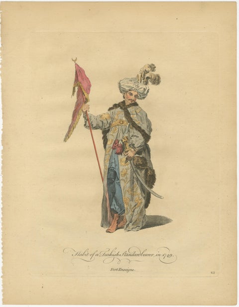 Antique Ottoman Costume Prints Pair, Standard Bearer & Turkish Priest, 1749
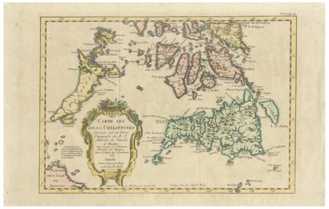 Carte des Isles Philippines – Antique Map of the Philippines, 1752
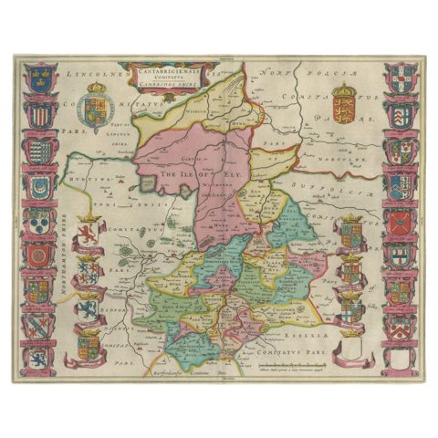 Antique Map of Cambridgeshire & Cambridge by Joan Blaeu, Hand-Colored, 1645
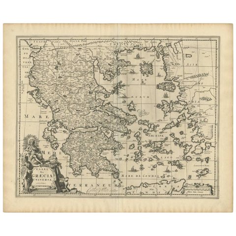 Antique 1698 Map of Greece by Carolus Allard, Late 17th Century
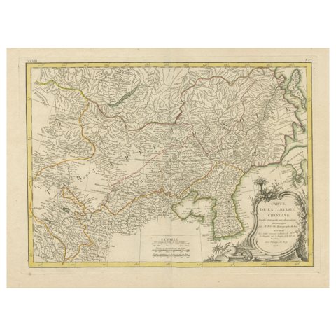 Original Old Map of Present-Day Mongolia, Northeast China and Korea
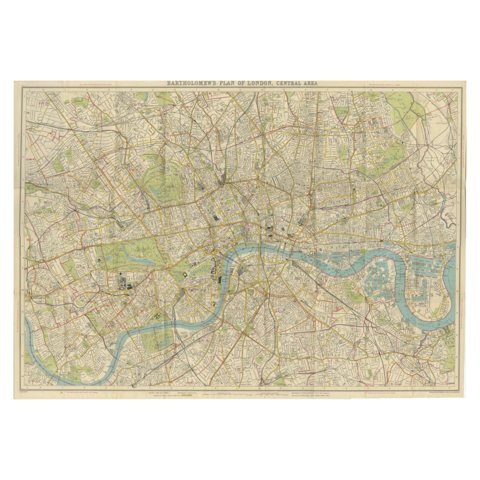 Vintage Map of London – Bartholomew’s Plan of Central London, c.1929
Sharing the sale? Download the Black Friday banners.