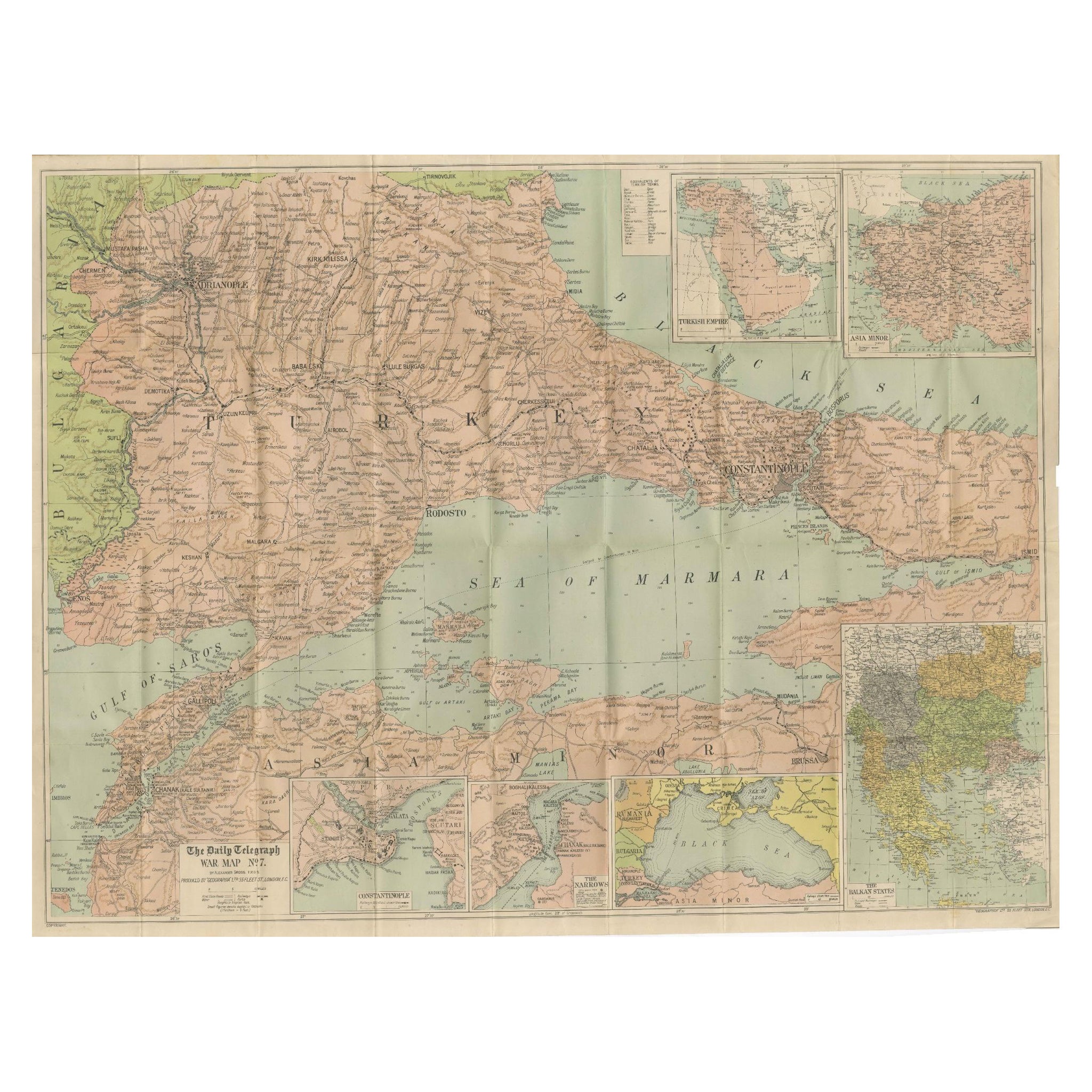
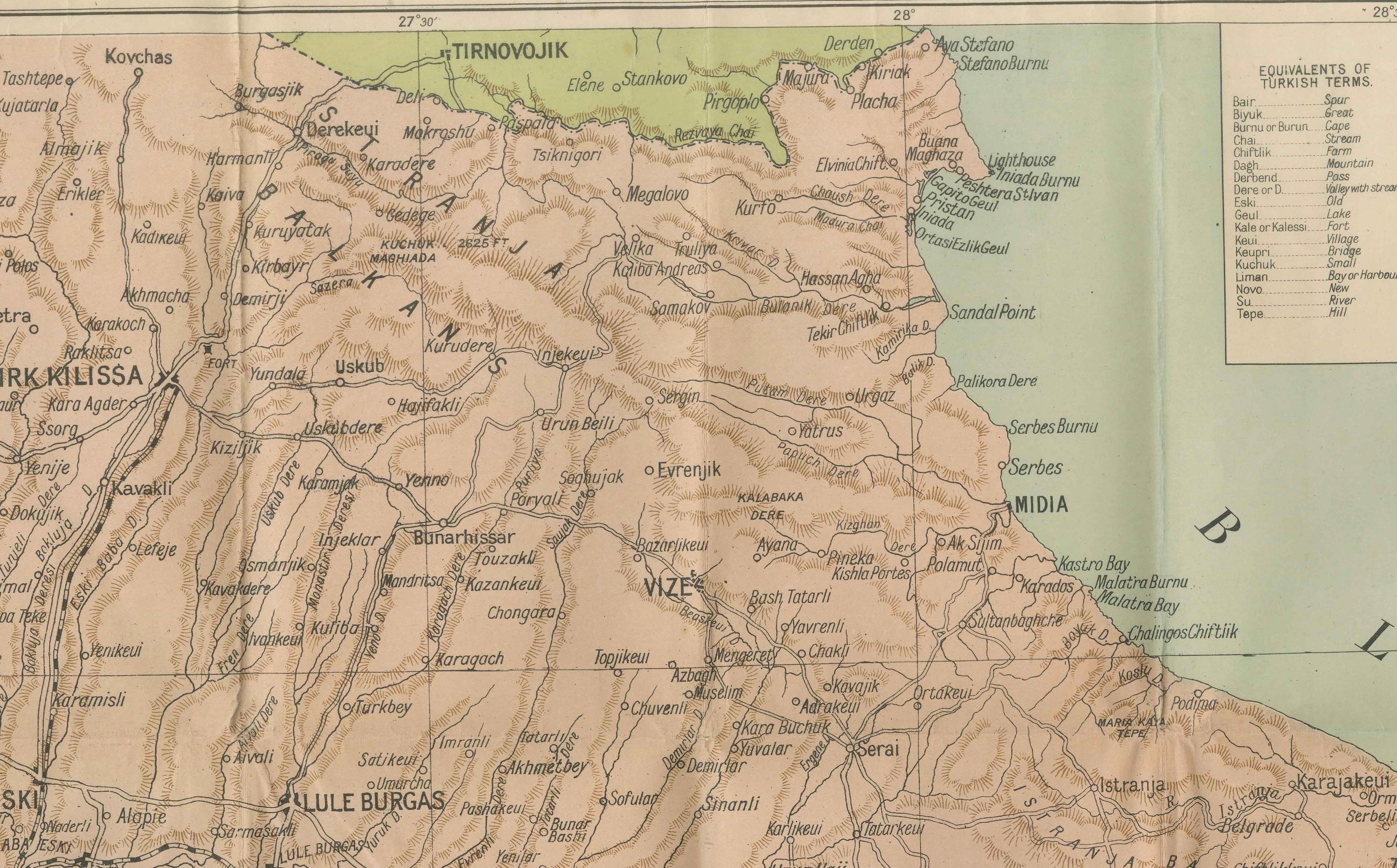
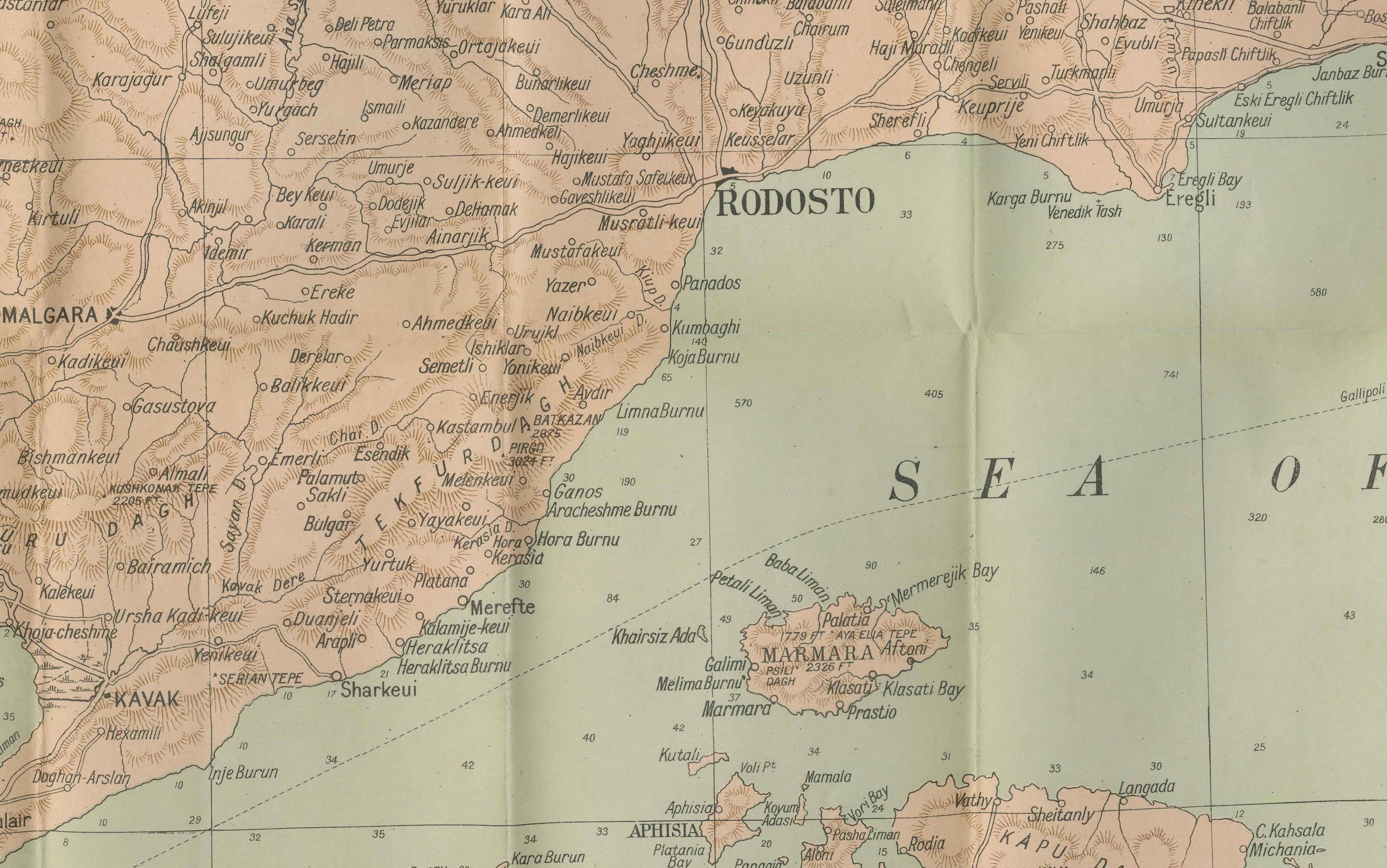
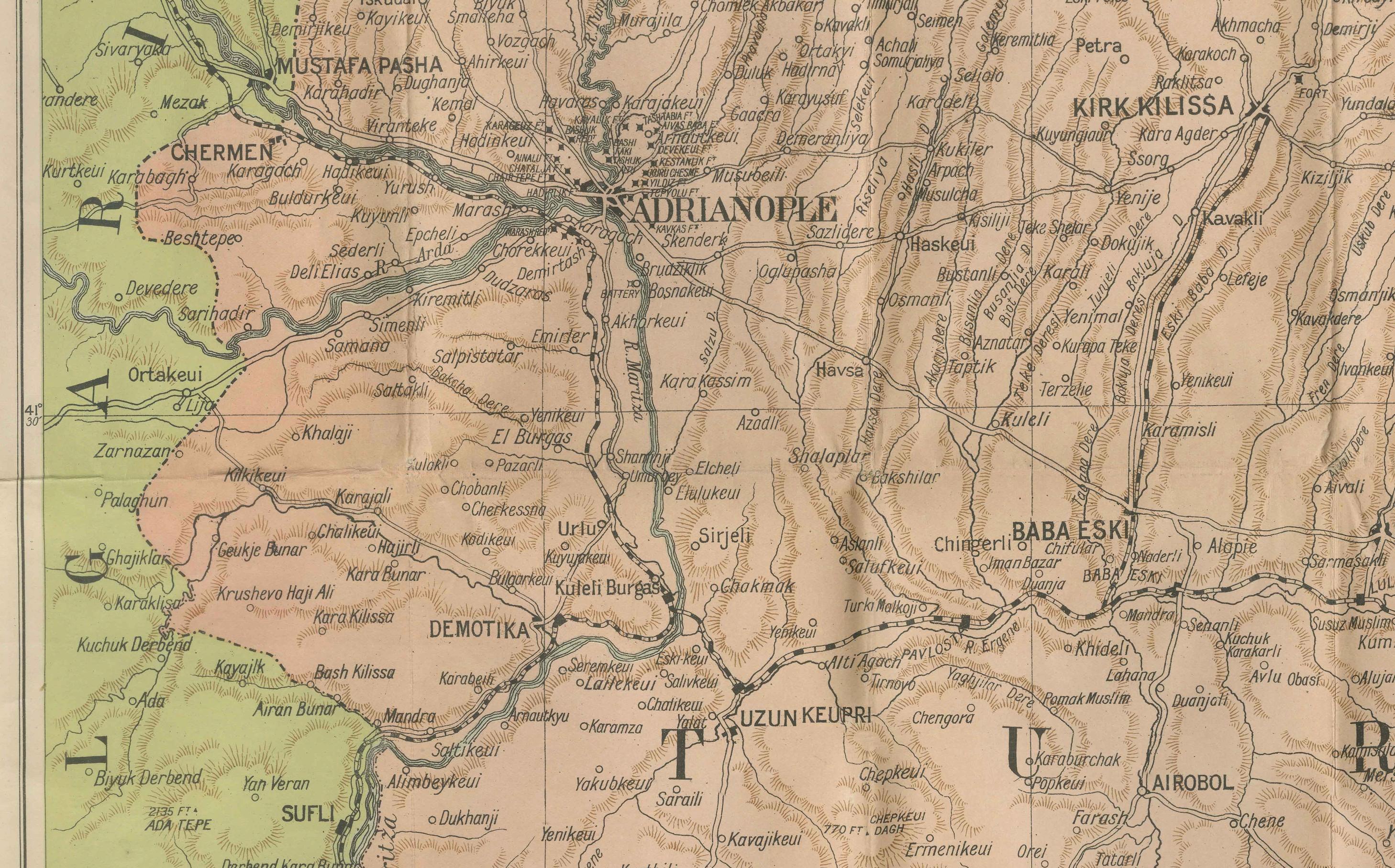
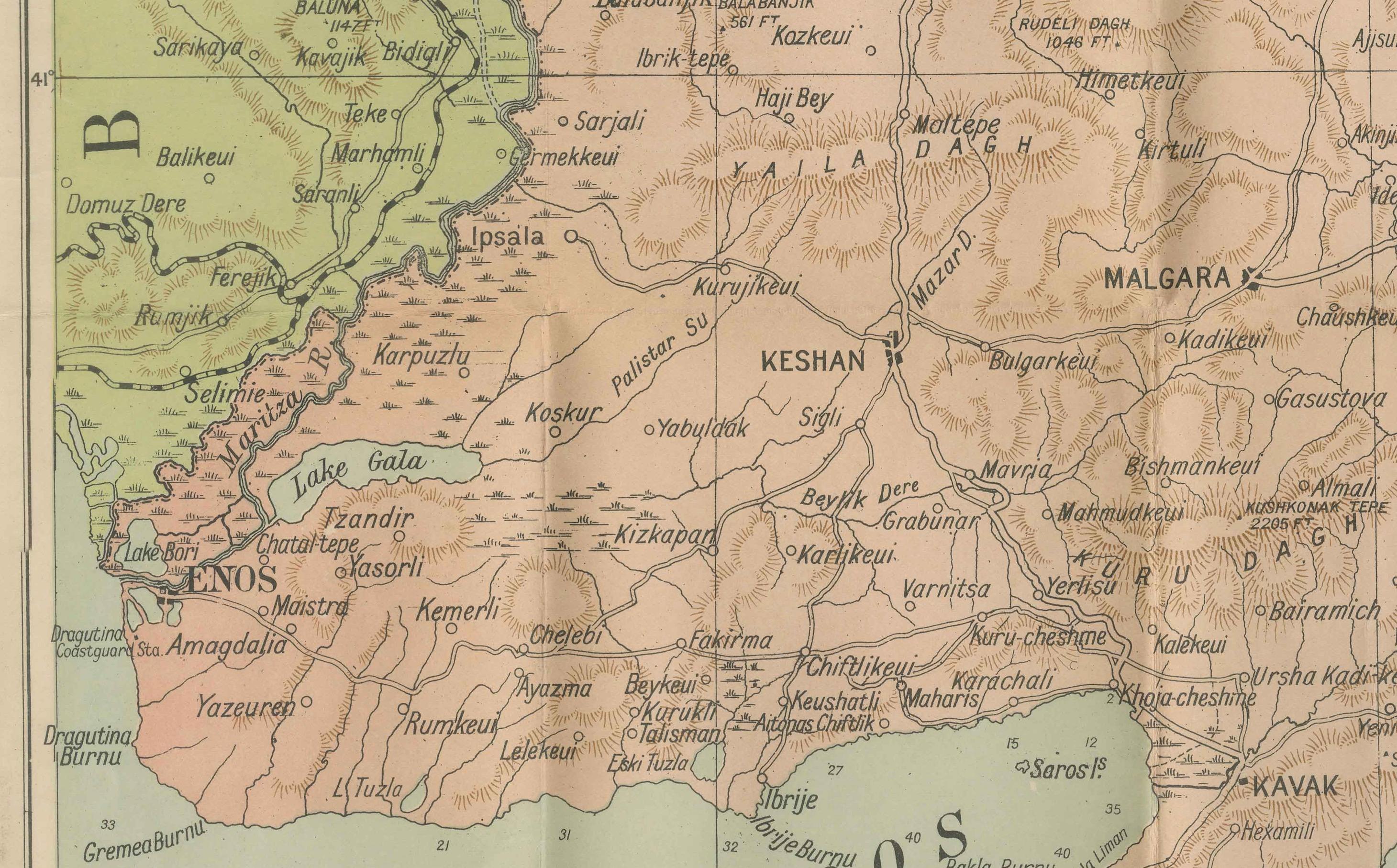
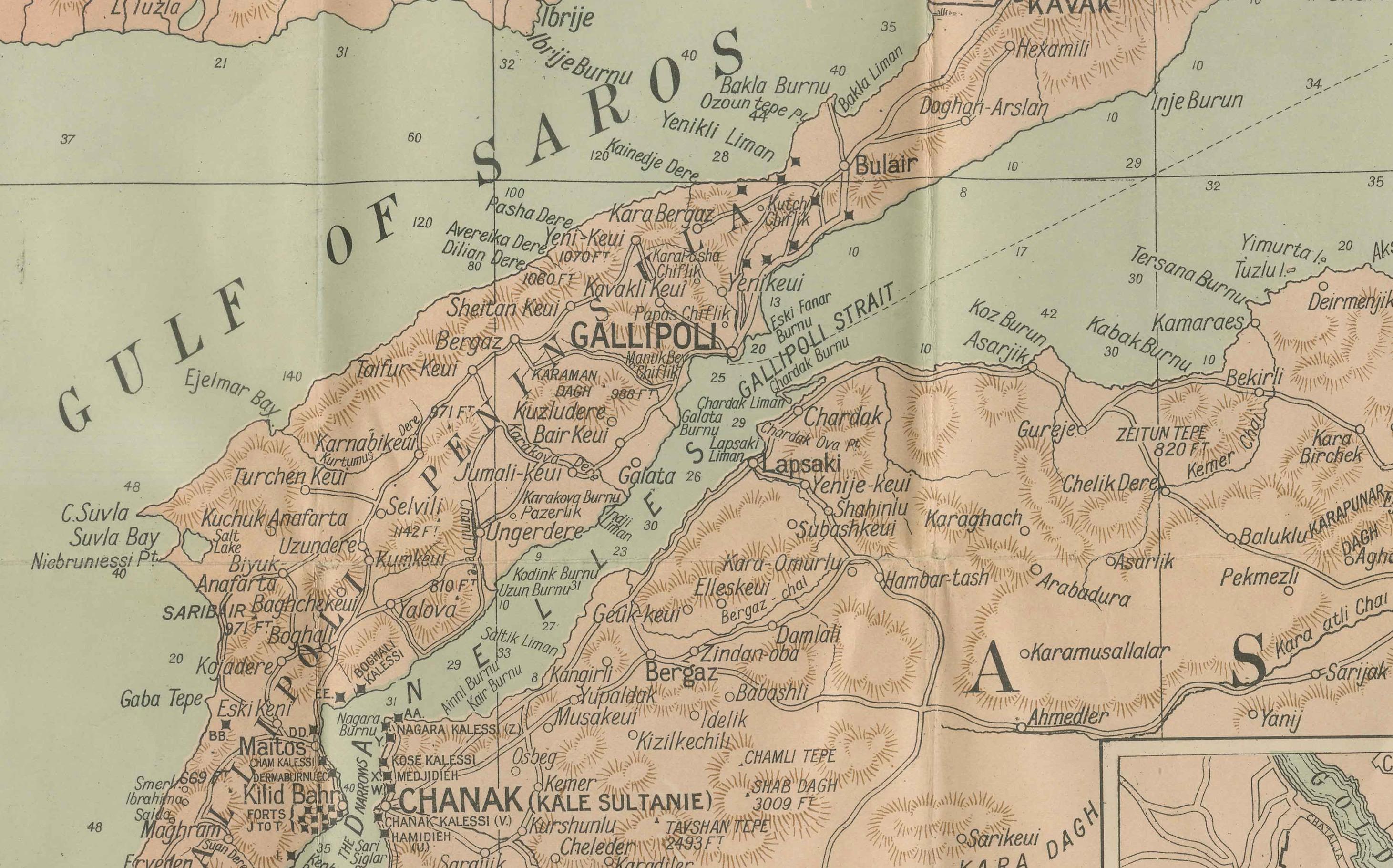
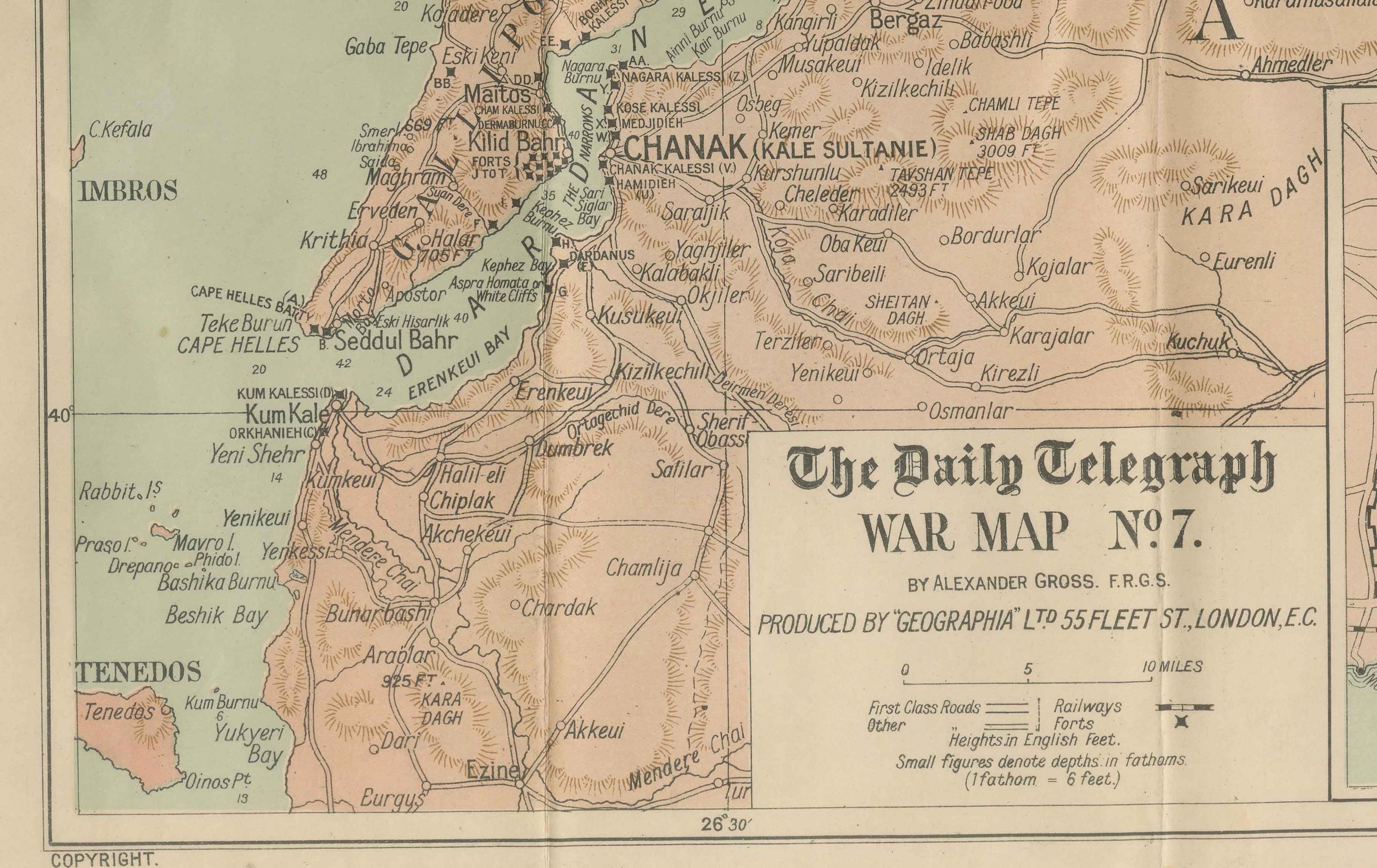
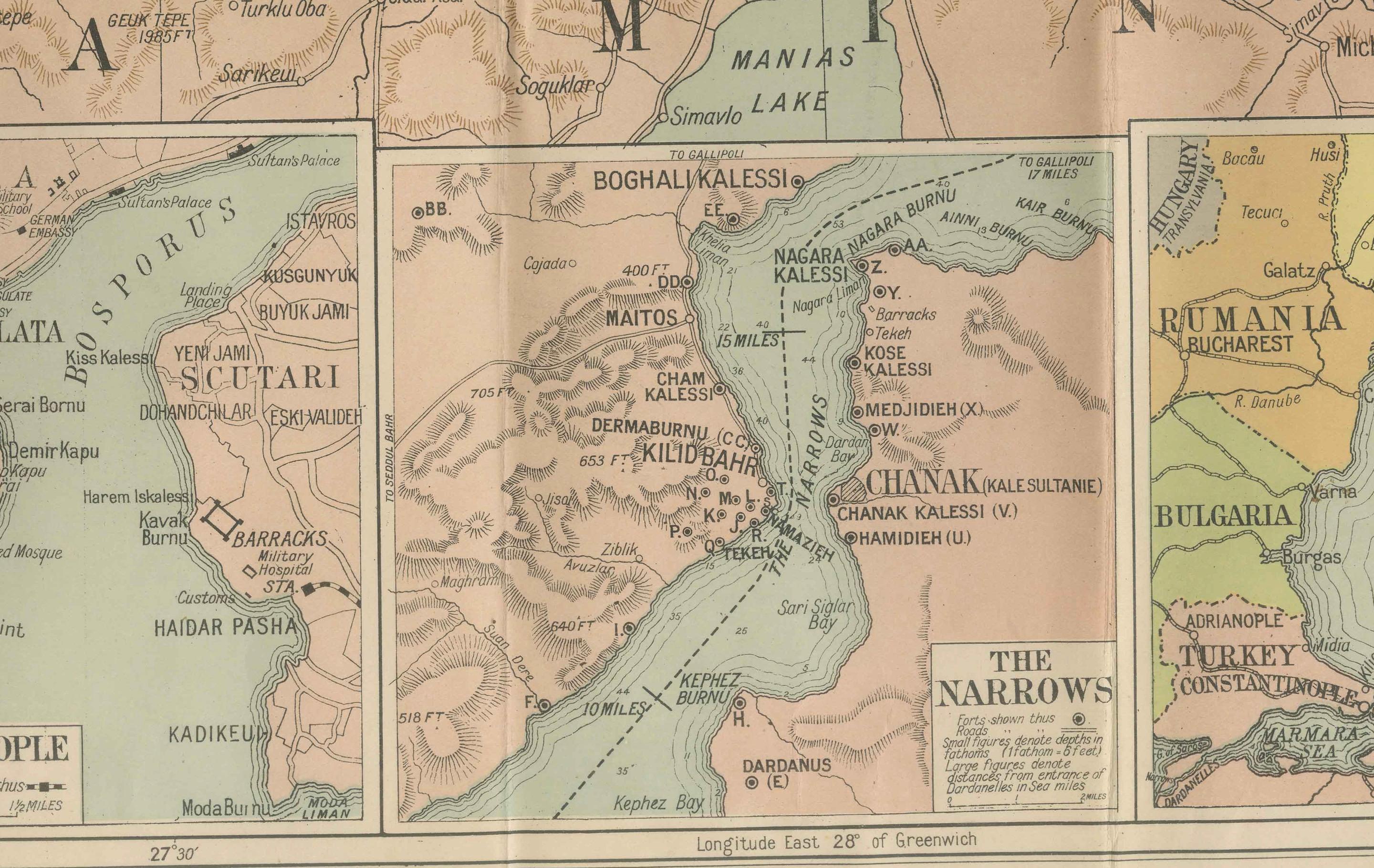
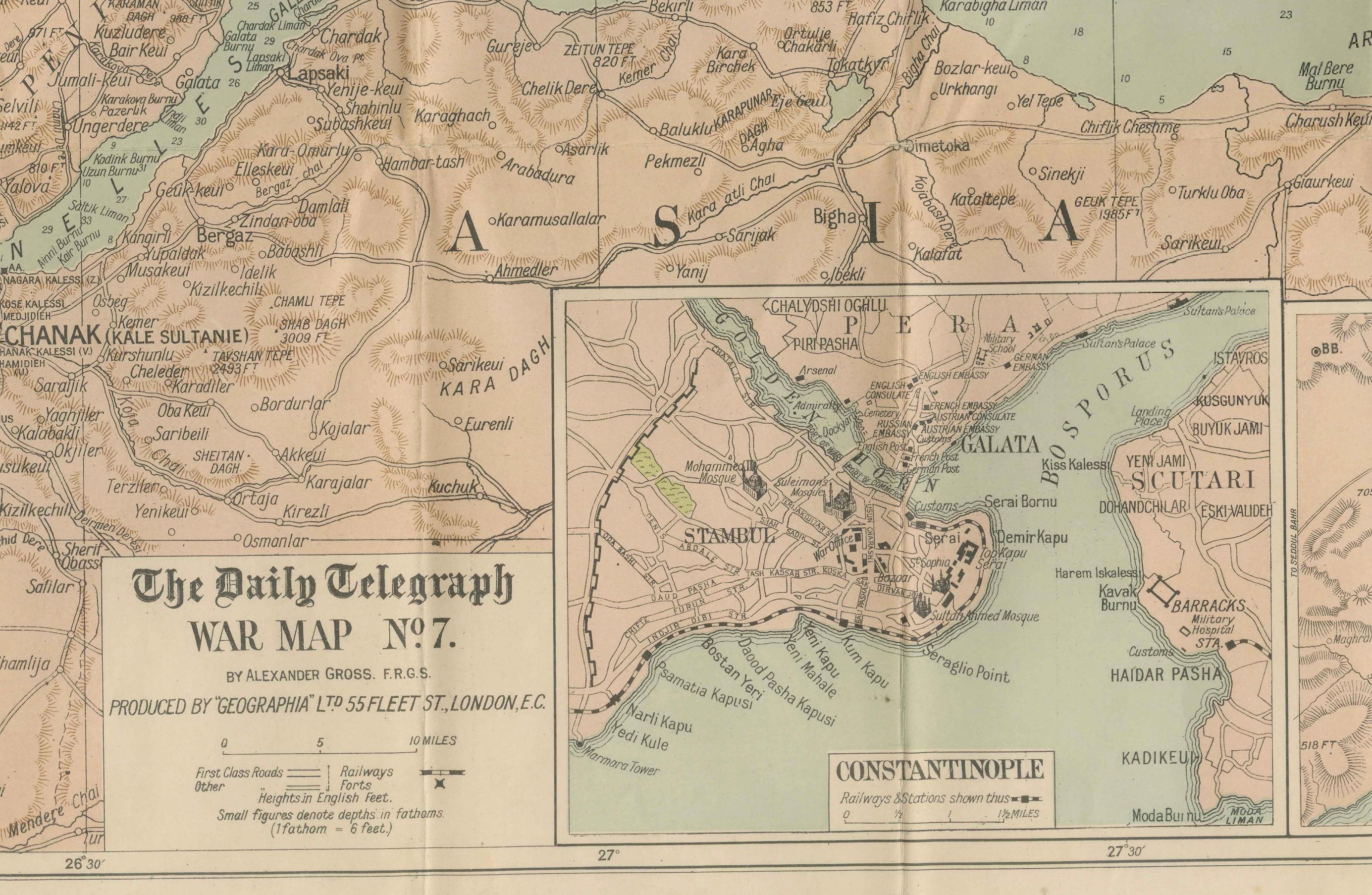
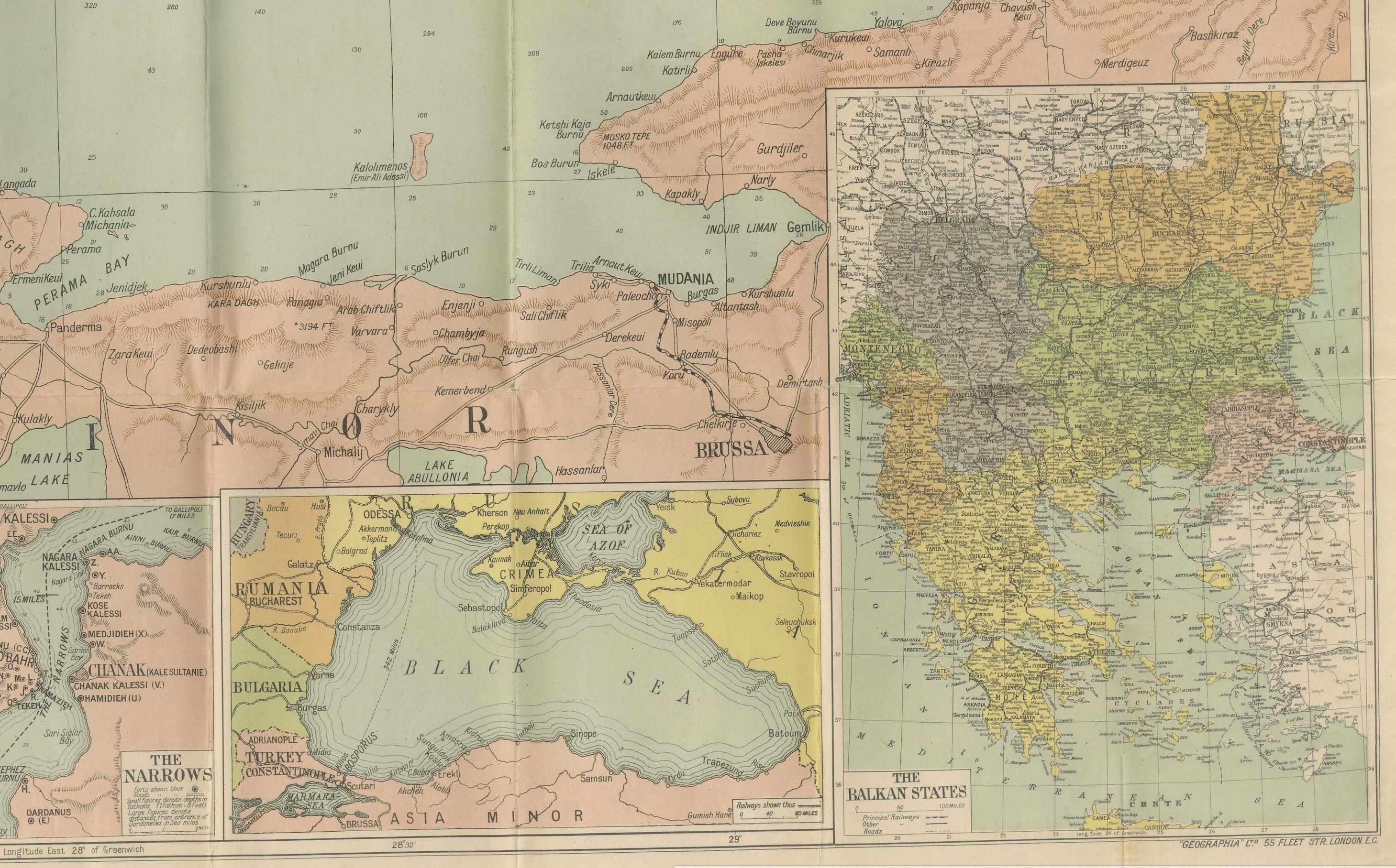
This large lithographed folding map was published as War Map No. 7 by The Daily Telegraph, London, during the Russo-Turkish War (1877–1878). These maps were issued in sequence to inform readers of the newspaper about the unfolding events of the conflict, which centered on the struggle between the Russian and Ottoman Empires.
The map focuses on Constantinople (Istanbul), the Sea of Marmara, and the Dardanelles, the key strategic straits linking the Black Sea and the Mediterranean. It extends north into Bulgaria and the lower Danube, south into Asia Minor, and west across the Balkans. Insets include:
* A detailed plan of Constantinople * The Bosphorus and Dardanelles (The Narrows) * Asia Minor and The Turkish Empire * The Black Sea * The Balkan States
Topography is shown with shaded relief, while towns, fortresses, railways, and communication routes are carefully marked. The map was designed to help British readers follow military movements in an area of intense geopolitical rivalry.
Condition: Good. Original folds as issued with minor fold wear and linnen backing. Light age toning and some handling signs, but colors remain strong.
Framing tips: A float-mount in a thin black or walnut frame works well for 19th-century newspaper war maps, highlighting their bold lithography. A cream or pale green mat complements the hand-tinted color scheme.
Technique: Lithograph with original color Maker: Published by The Daily Telegraph, London, c. 1877
This series of Daily Telegraph War Maps is highly collectible, both for its military history value and as an example of the intersection of journalism and cartography in the 19th century.