
Maps & PrintsBartele Gallery · Langweer
Home / Antique Maps / Asia / East Asia / China

China

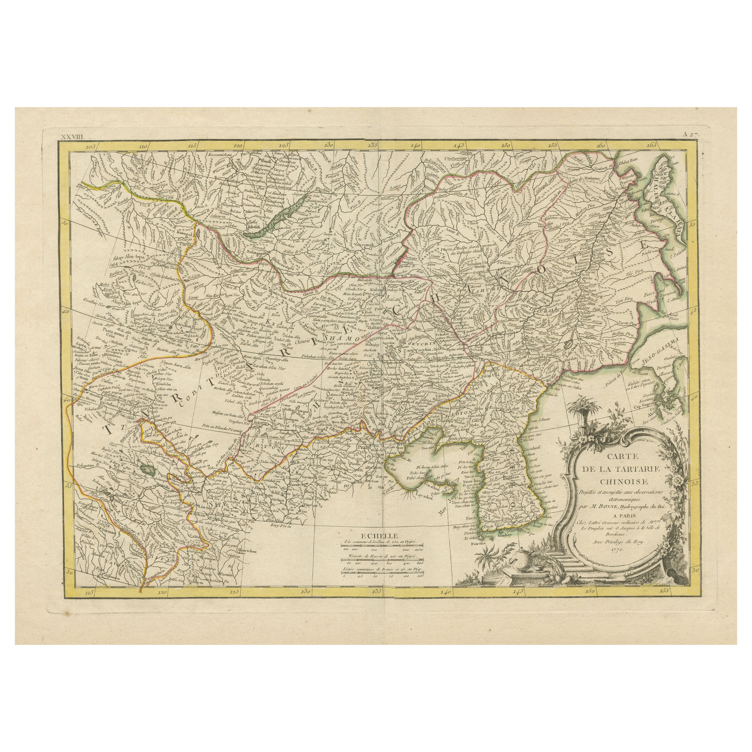

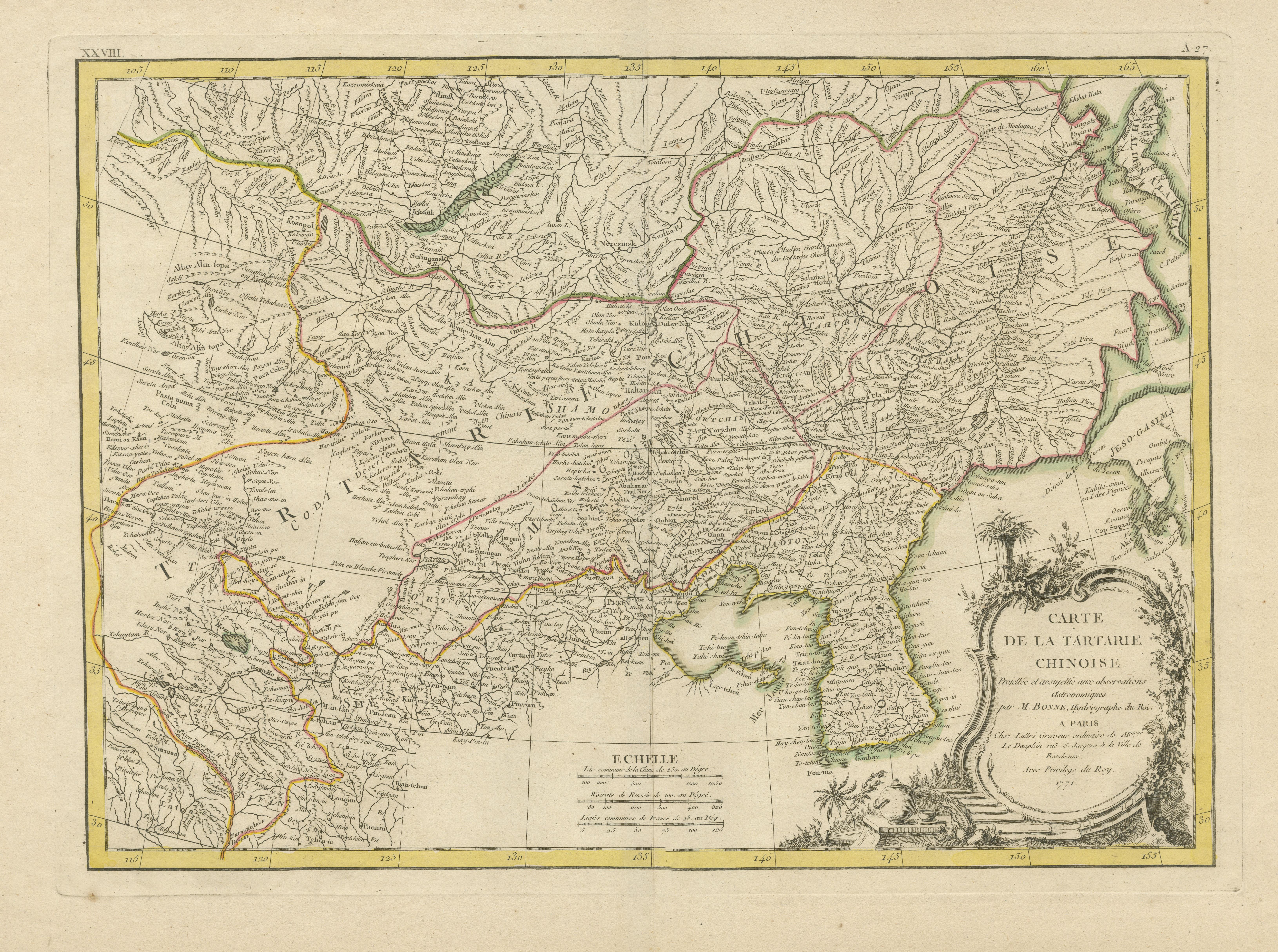
Original Old Map of Present-Day Mongolia, Northeast China and Korea

€ 1 190

One of a kind: this is the sheet in the photographs. Ships from Langweer, the Netherlands.

Sheet size
38.7 × 53.8 cm (15.2 × 21.2 in)
Condition
Good
Reference
BG-13370-1

Condition

Wear consistent with age and use. General age-related toning. Original folding line. Minor wear and soiling, blank verso. Small repair on tiny holes above scale. Please study image carefully.
About this sheet

Antique map titled 'Carte de la Tartarie Chinoise. Projettee et assujettie aux observations astronomiques par M. Bonne, Hydrographe du Roi. A Paris, Chez Lattre Graveur, ordinaire de Mseur. Le Dauphin, rue S. Jacques a la Ville de Bordeaux. Avec privilege du Roy. 1771'. Original old map of the region including present-day Mongolia, northeast China and Korea. Published in Paris by Lattré in “Atlas Moderne”, 1771. This atlas contained many maps by Rigobert Bonne.

More from China

Ask about this sheet

Original Old Map of Present-Day Mongolia, Northeast China and Korea
Ref. BG-13370-1 · € 1 190
We reply by email, usually within one working day.