Maps & PrintsBartele Gallery · Langweer
Home / Antique Maps / Europe / Western Europe / The Netherlands & Belgium

The Netherlands & Belgium · 18th century

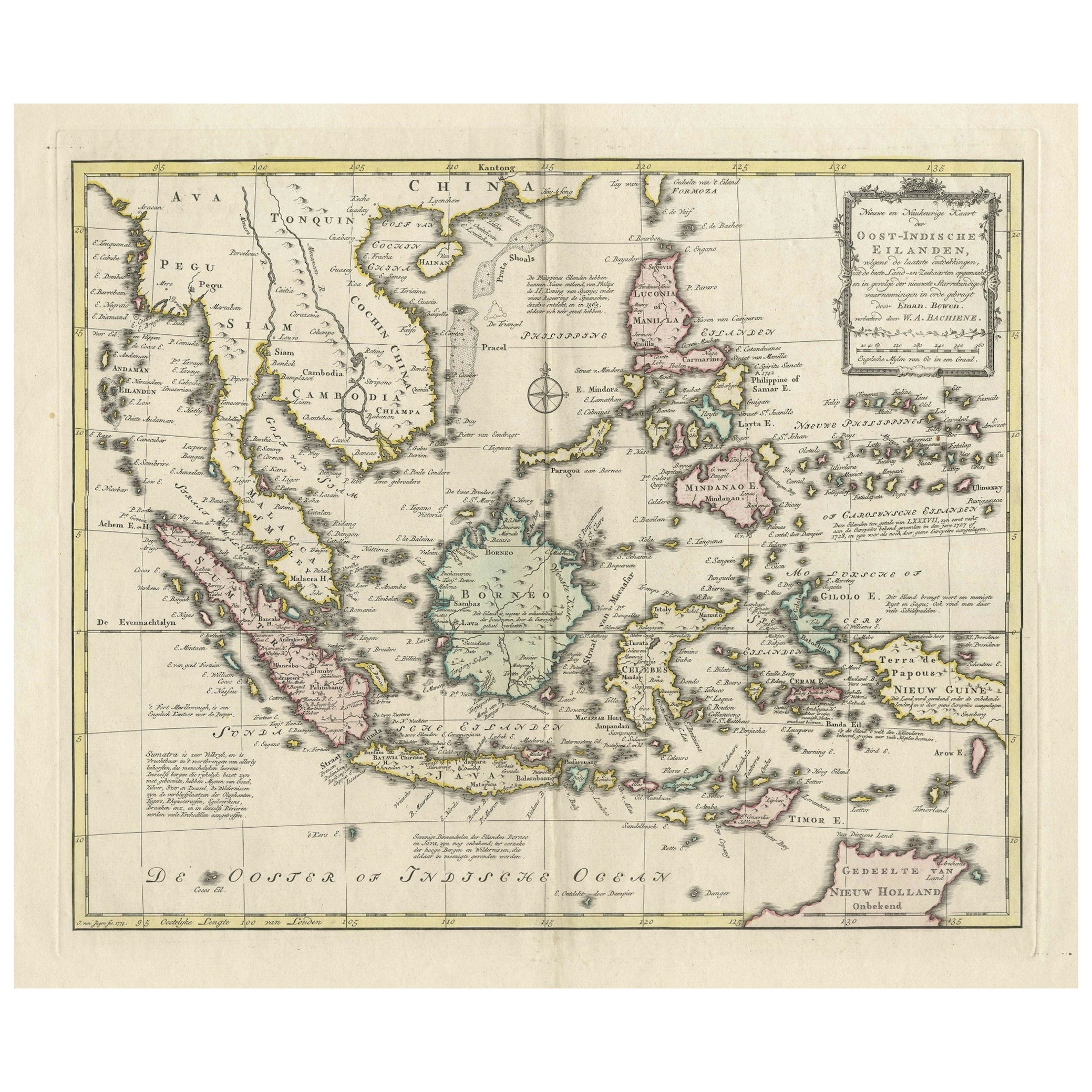

Rare Antique Map of the Dutch East Indies 'Indonesia', 1774

€ 1 200

One of a kind: this is the sheet in the photographs. Ships from Langweer, the Netherlands.

Date
1774
Sheet size
60.5 × 46 cm (23.8 × 18.1 in)
Condition
Good
Reference
BG-13231

Condition

Folding line in the middle as issued. Image clean with no defects. Outer borders a few tiny wormholes, some damp spots on the right and a tear in the lower fold, all far from the image. Overal a very nice map. Study image carefully.

About this sheet

Rare decorative engraved map of the Dutch East Indies, or nowadays Indonesia.

Title (in old Dutch): NIEUWE EN NAUKEURIGE KAART DER OOST-INDISCHE EILANDEN volgens de laatste ontdekkingen, uit de beste Land- en Zeekaarten opgemaakt, en in gevolge der nieuwste Starrekundige waarneemingen in orde gebragt door Eman. Bowen, verbeterd door W.A. Bachiene.

Engr. by J. van Jagen, 1774.

More from The Netherlands & Belgium

Ask about this sheet

Rare Antique Map of the Dutch East Indies 'Indonesia', 1774
1774 · Ref. BG-13231 · € 1 200
We reply by email, usually within one working day.