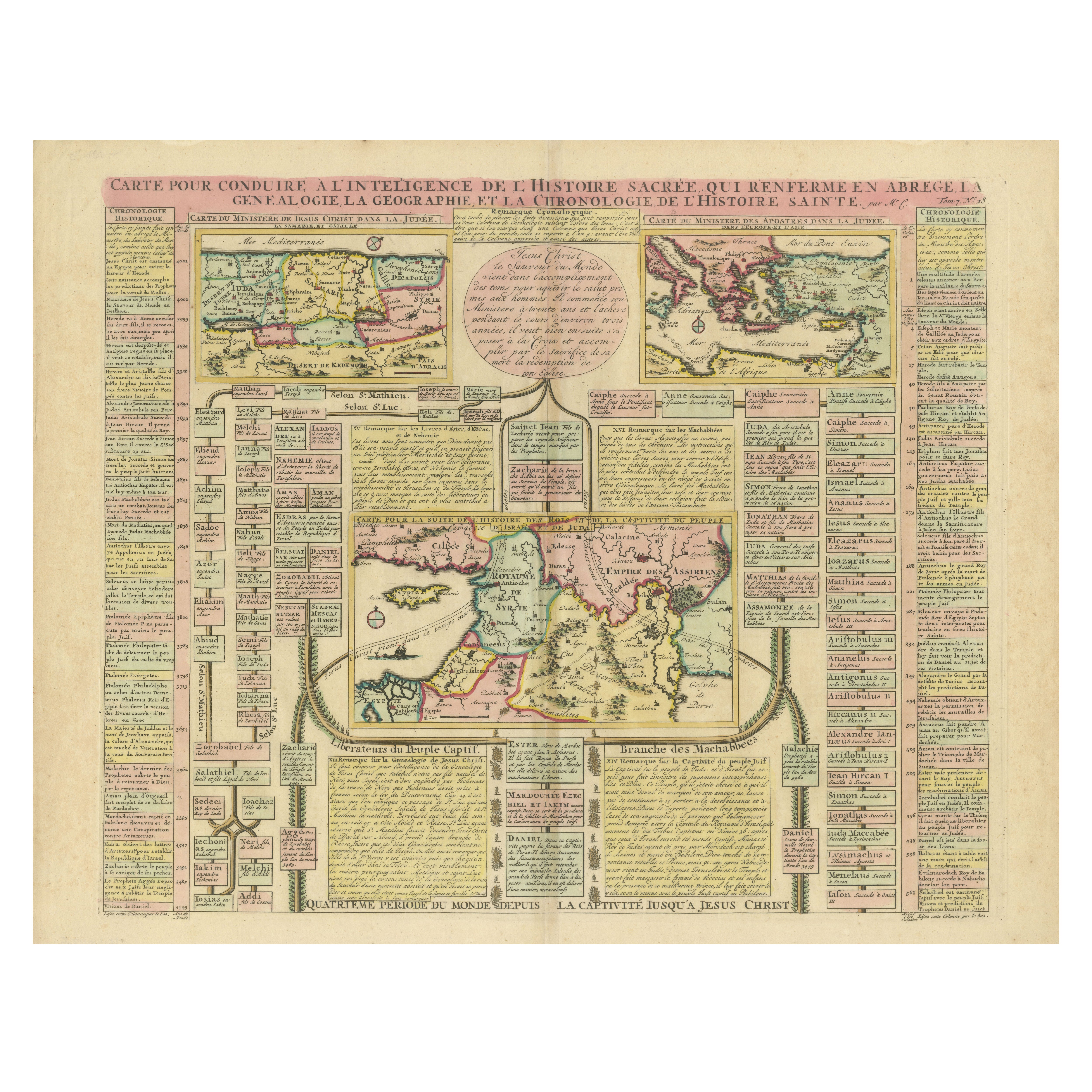
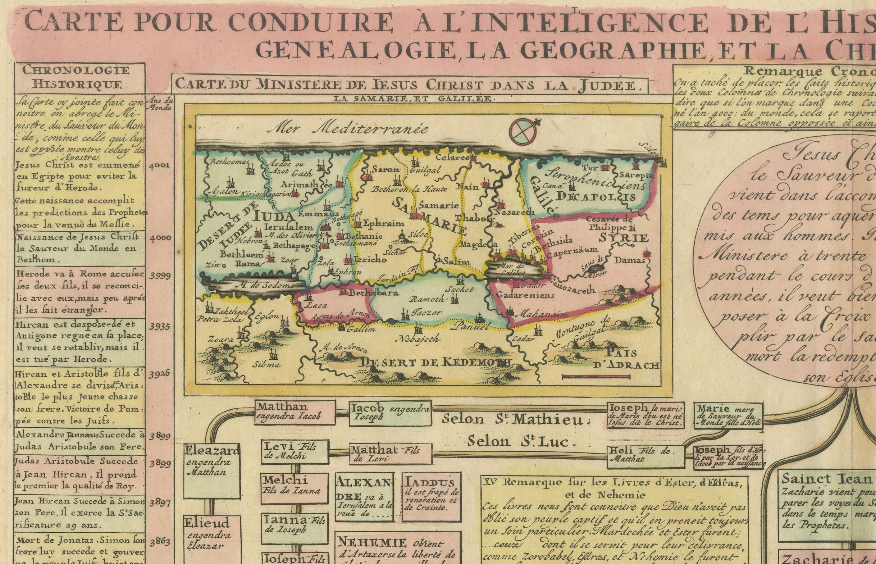
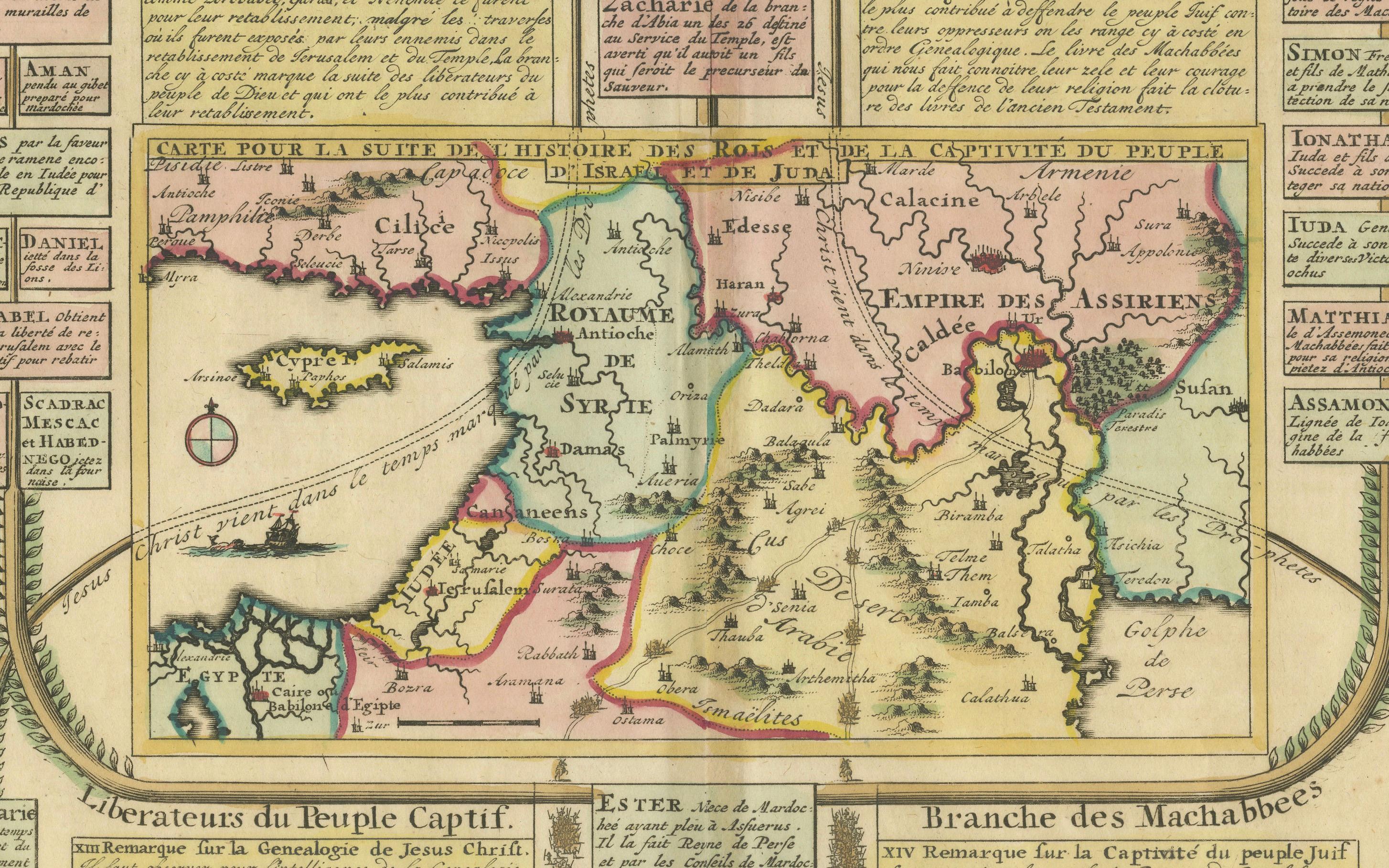
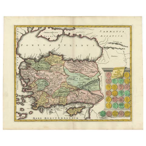
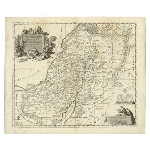
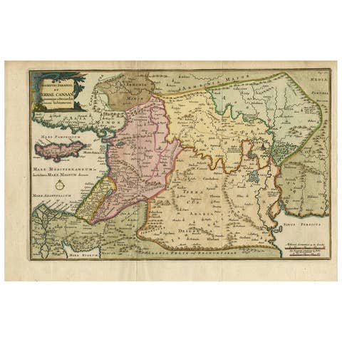
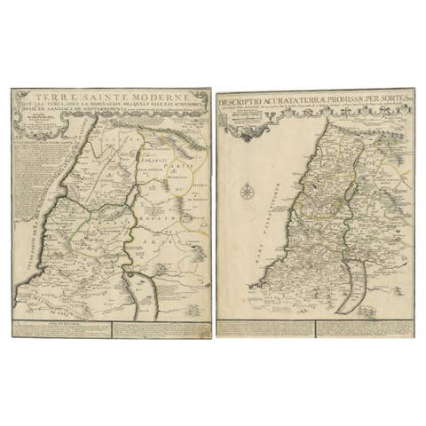
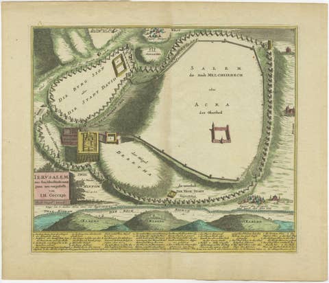
Biblical Map and Family Trees of the Holy Land by Chatelain, ca. 1720
€ 1 200
One of a kind: this is the sheet in the photographs. Ships from Langweer, the Netherlands.
Date
1720
Sheet size
55 × 63 cm (21.7 × 24.8 in)
Condition
Good
Reference
BG-14043-5
Condition
The map is in very good condition for its age, with vibrant original hand-coloring. Margins are intact, though light toning and minor foxing are visible. No major tears or repairs.
About this sheet
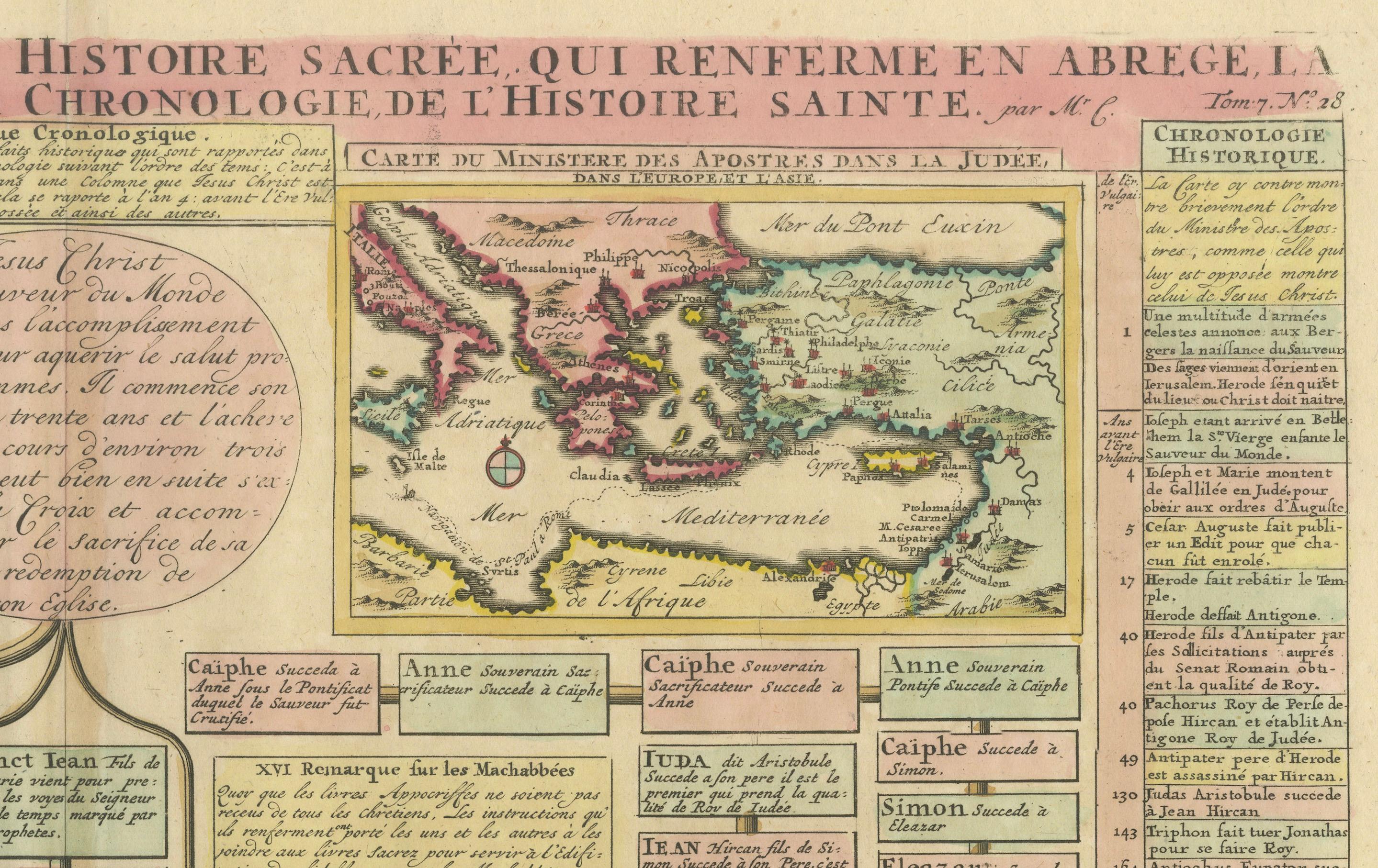
This fascinating 18th-century folio map by Henry Abraham Chatelain combines geography, genealogy, and sacred history to present a richly detailed account of the Holy Land during biblical times. Published in "Atlas Historique et Methodique" around 1720, the map features three inset maps of the region and extensive text panels, making it a remarkable visual and educational resource for understanding the biblical world.
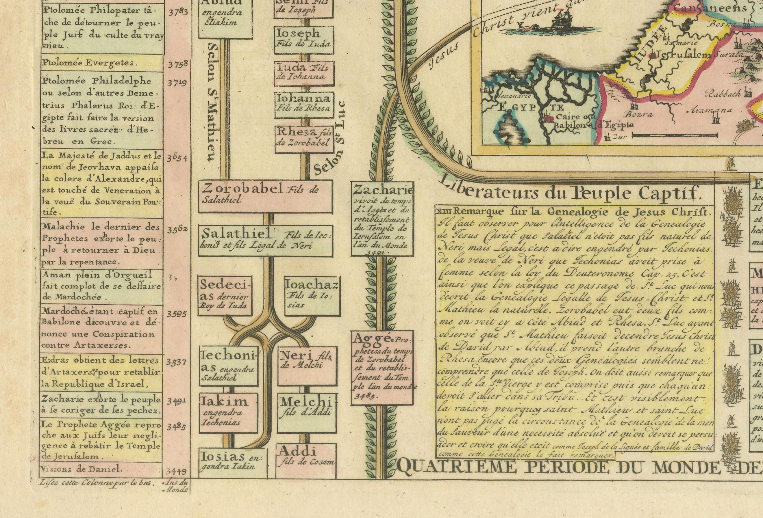
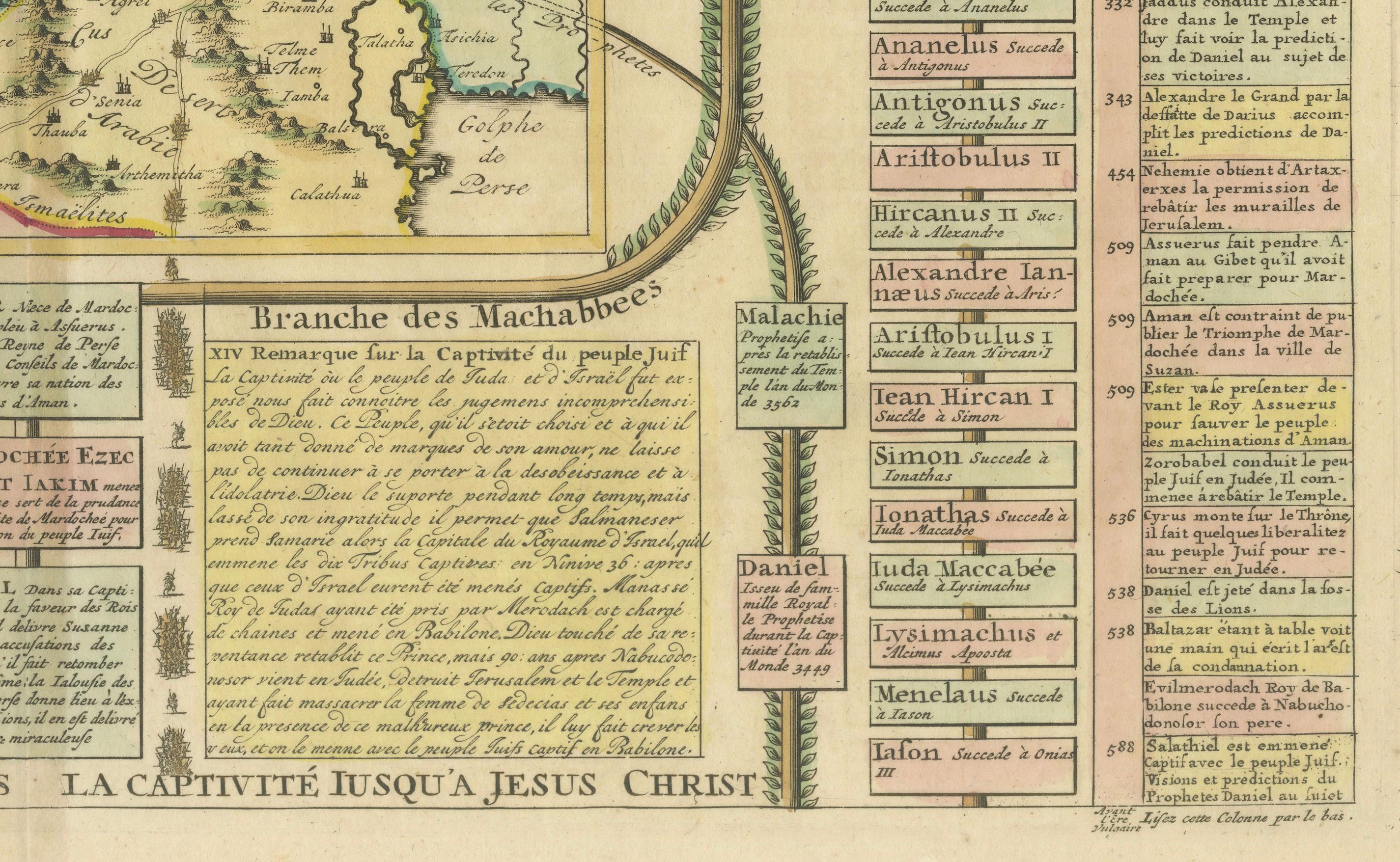
The central focus of the map is the Holy Land, depicted with notable biblical sites and regions, including the Kingdoms of Israel and Judah. Flanking the maps are intricate genealogical family trees that trace the lineage of significant biblical figures, such as the Kings of Judah and the Maccabees. Chronological notes along the margins provide a timeline of events, helping viewers contextualize the geography within sacred history.
What sets this piece apart is the harmonious integration of cartographic art with historical and theological scholarship. The detailed engraving is complemented by hand-applied coloring, enhancing its visual appeal and emphasizing the regions and connections between biblical events. The combination of maps, family trees, and text panels transforms this work into a comprehensive guide to the biblical world, making it an invaluable piece for collectors of Judaica, biblical maps, or early 18th-century prints.
Condition Report: The map is in good condition for its age, with vibrant original hand-coloring. Margins are intact, though light toning and minor foxing are visible. No major tears or repairs.
Framing and Matting Tips: To highlight the map's intricate details, use an archival-quality mat in cream or off-white. A dark wood or antique-style frame can enhance its historic character. UV-protective glass is essential to preserve the delicate coloring and prevent further aging. Consider framing it with a double-sided glass mount to allow the reverse text (if applicable) to be viewed. Adding a descriptive plaque about its historical significance would make it an engaging display piece.