About this sheet
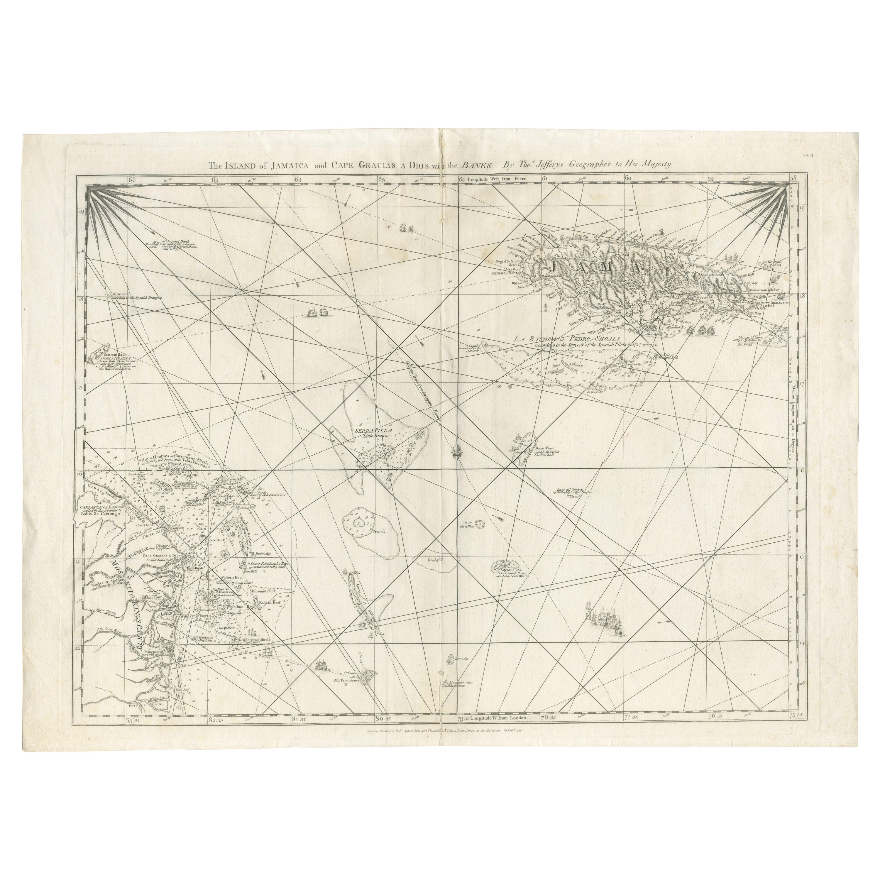
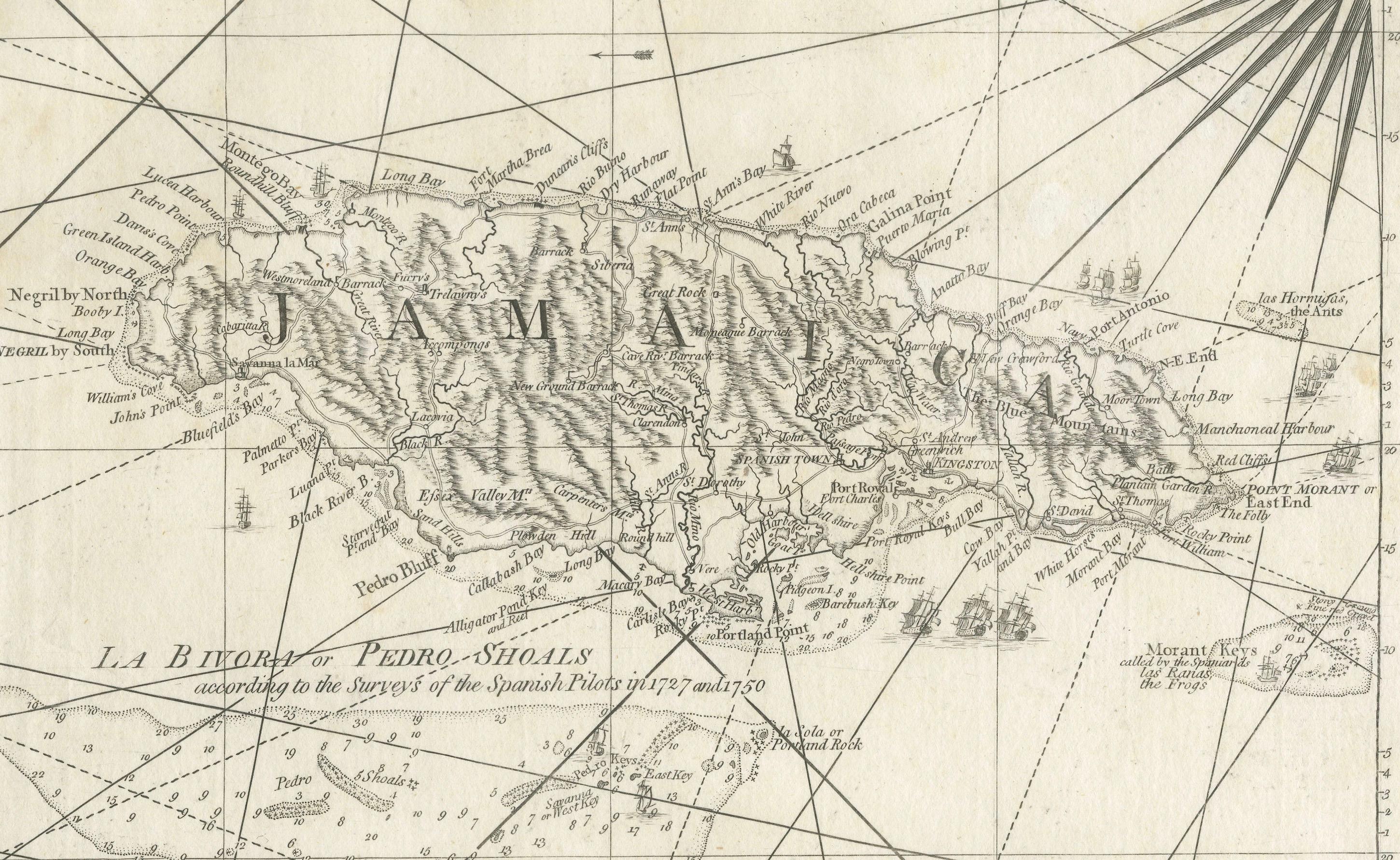
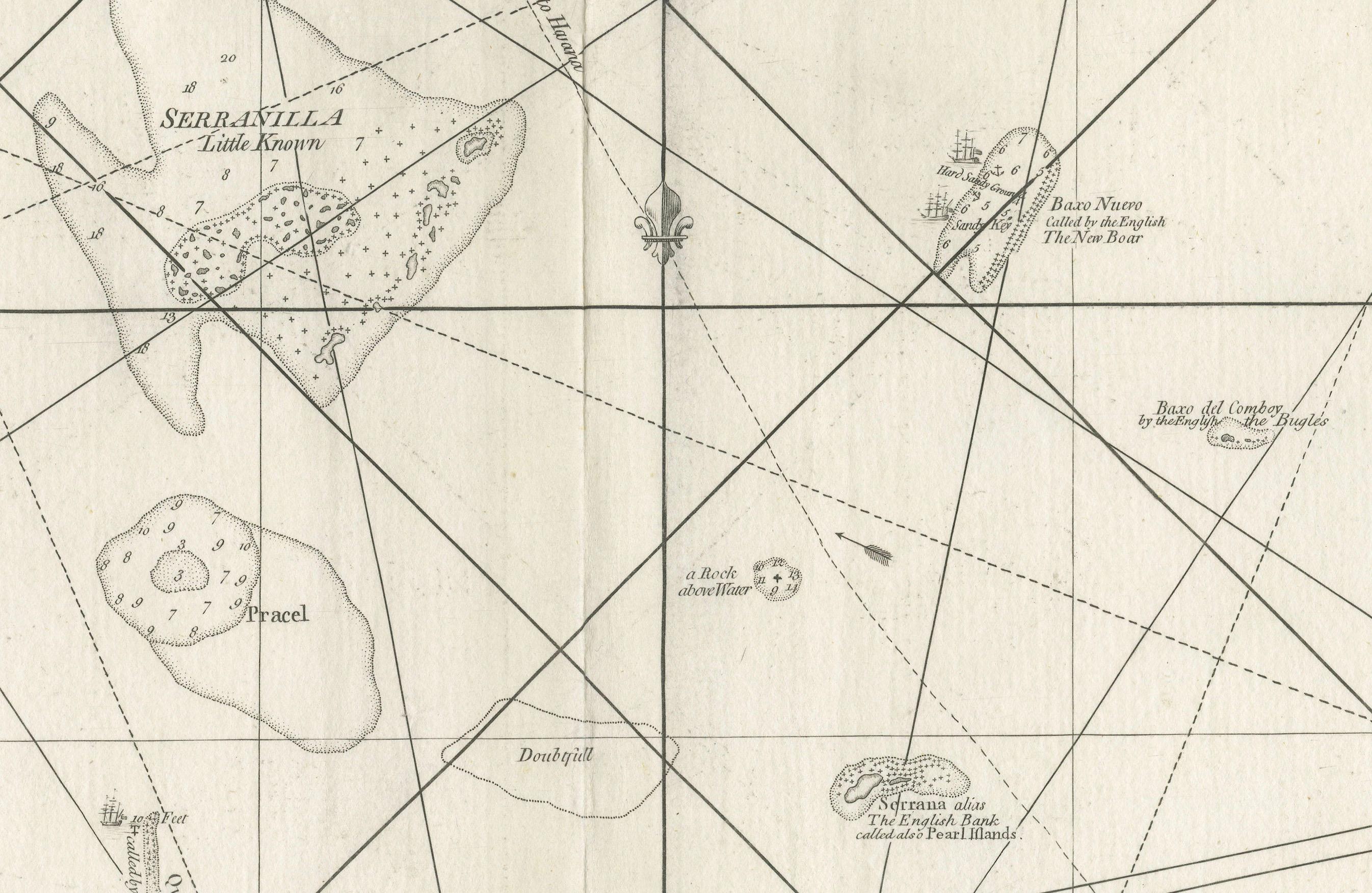
The map titled "The Island of Jamaica and Cape Gracias a Dios with the Banks (Shows Moskito Kings Party)" illustrates a significant historical period marked by shifting colonial influences and territorial disputes in Central America and the Caribbean. Here's a detailed description:
Key Features of the Map:
1. **Geographical Coverage**:
- The map highlights the Island of Jamaica and Cape Gracias a Dios, including the surrounding banks and coastal regions.
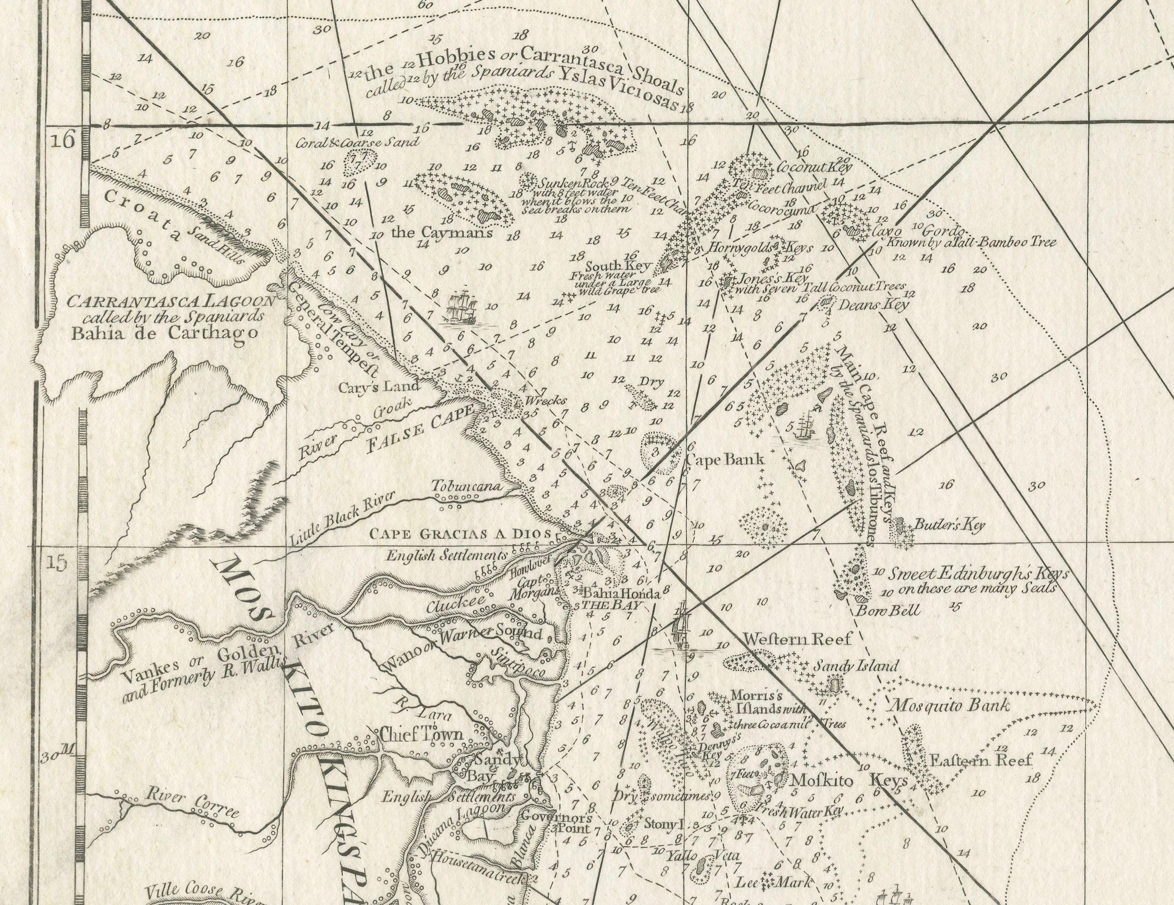
- It prominently features the Mosquito Coast, an area along the eastern coast of present-day Nicaragua and Honduras.
2. **Political Context**:
- During the time this map represents, Spanish power over the Mosquito Coast had diminished, and British influence was resurging.
- The Captaincy General of Guatemala aimed to assert control over the Mosquito Coast but faced challenges.
3. **Significant Historical Events**:
- In 1803, the Spanish government, influenced by the advice of Gil de Taboada and Ezpeleta, decided against Guatemala's request to control the Mosquito Coast.
- Instead, sovereignty over the Mosquito Coast was transferred to the Viceroyalty of New Granada (modern-day Colombia) by a Royal Decree on November 30, 1803.
- This decision reaffirmed the control of New Granada over the Archipelago of San Andrés, Providencia, and Santa Catalina, which were used as bases against British privateers operating from the Mosquito Coast.
4. **Impact of the Royal Decree of 1803**:
- The decree led to ongoing territorial disputes between the United Provinces of Central America (later Nicaragua) and Gran Colombia (later Colombia) throughout the 19th century.
- Spanish rule was never fully restored over the Mosquito Coast, and in 1806, the British occupied the Archipelago of San Andrés, Providencia, and Santa Catalina during their war against Spain.
5. **Historical Interpretation**:
- Ricardo S. Pereira, writing in 1883, considered the Real Audiencia of Guatemala's failure to raise an army and march on the Mosquito Coast a significant miscalculation. He believed that such a move would have solidified the Captaincy General's control over the area once Spanish power was restored.
Conclusion:
The map serves as a visual representation of a period of intense colonial competition and territorial realignment in the Caribbean and Central America. It underscores the complexities of colonial administration, the strategic importance of the Mosquito Coast and nearby archipelagos, and the long-term implications of colonial decisions on regional disputes in the post-independence era.
About the Maker: :
The map's title indicates that it was created by a geographer to His Majesty, suggesting it was an official document commissioned by the British crown or government.
The title reads: "The Island of Jamaica and Cape Gracias a Dios with the Banks by the Messrs. Geographer to His Majesty," indicating that it was produced by a respected cartographer or a team of cartographers with official status.
Publication Details:
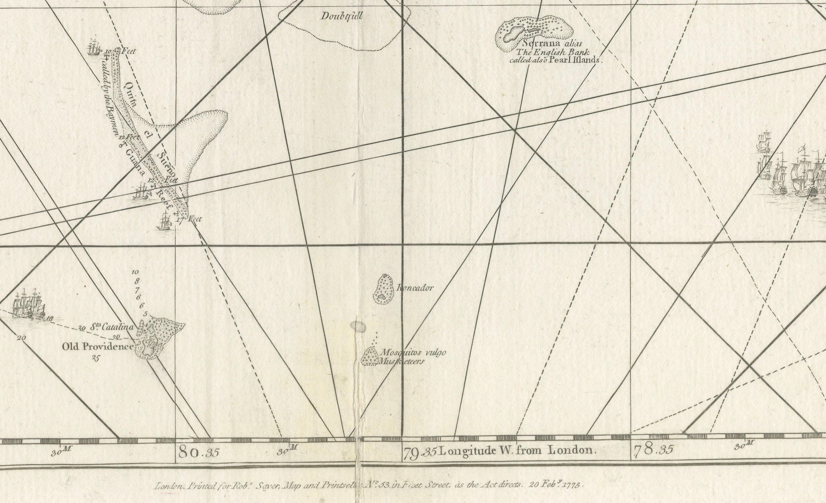
The map includes a note at the bottom stating it was published in London, suggesting that it was intended for use by British navigators and officials.
The exact wording from the bottom states: "London Printed for R. Sayer & J. Bennett, Map, Chart & Print sellers, No. 53 Fleet Street, as the Act directs, 1st August 1775." This provides the publication date and the names of the publishers, Richard Sayer and John Bennett, who were prominent map and print sellers in London during the 18th century.
Conclusion:
This map is a detailed navigational chart from the 18th century, providing valuable information about the geography and political landscape of Jamaica, Cape Gracias a Dios, and the surrounding banks. It was created by official geographers for the British monarchy and published in London by well-known map sellers, reflecting its importance for maritime navigation and colonial administration during that era.