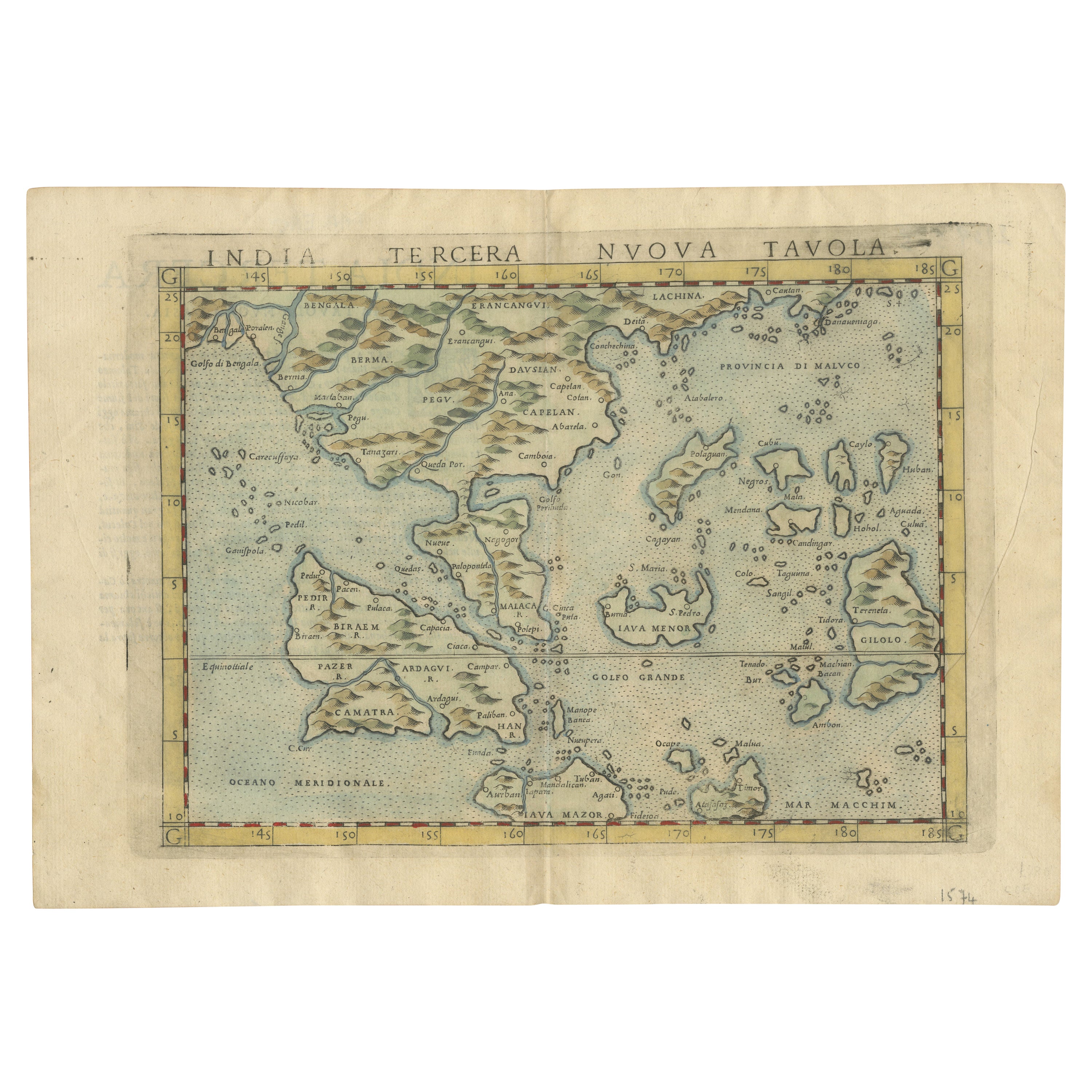
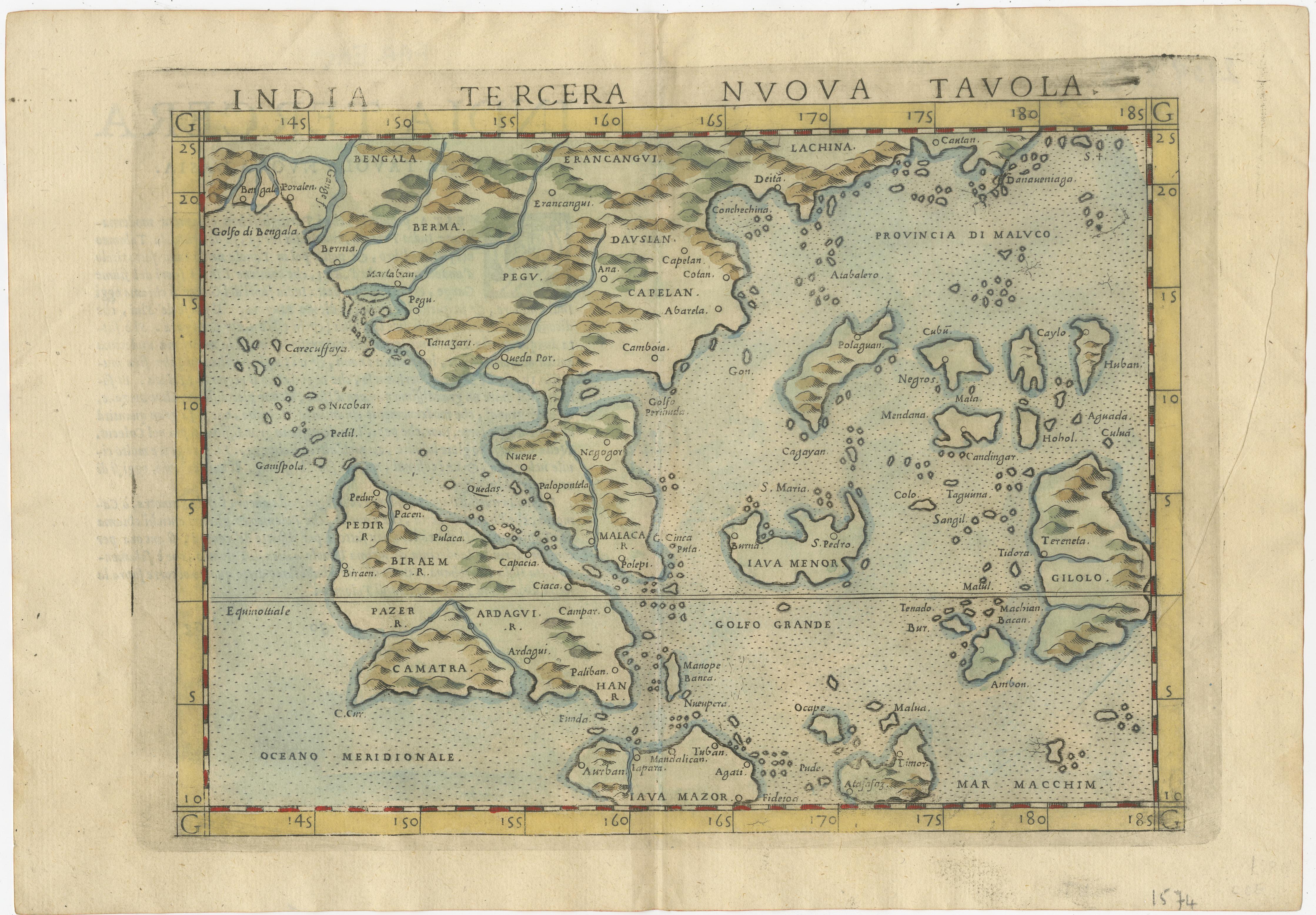
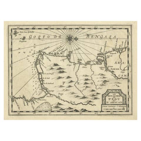
Rare and Very Old Antique Map of South East Asia, Published circa 1574
€ 1 200
One of a kind: this is the sheet in the photographs. Ships from Langweer, the Netherlands.
Date
1574
Sheet size
21.5 × 31 cm (8.5 × 12.2 in)
Condition
Good
Reference
BGSH-015
Condition
Fold in middle as originally published. Some creases as can be expected from a map that is over 500 years old.
About this sheet
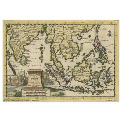
A very fine impression of this map of the Malay Peninsula, Sumatra, Java, with Singapore denoted as 'Cinca Pula'.
Highly distorted and inaccurate map by Girolamo Ruscelli after Jacopo Gastaldi's 1548 miniature map of this region, that introduced new knowledge from the Portuguese explorations.
This map is from Ruscelli's 'La Geographi di Claudio Tolomeo'. Just to the west and south of Malacca one will notice ‘Camatra’ (Sumatra) and Java. China with Canton in the upper right corner.
An excellent collector's copy with wide margins and soft original old colors. Fold in middle as originally published.