About this sheet
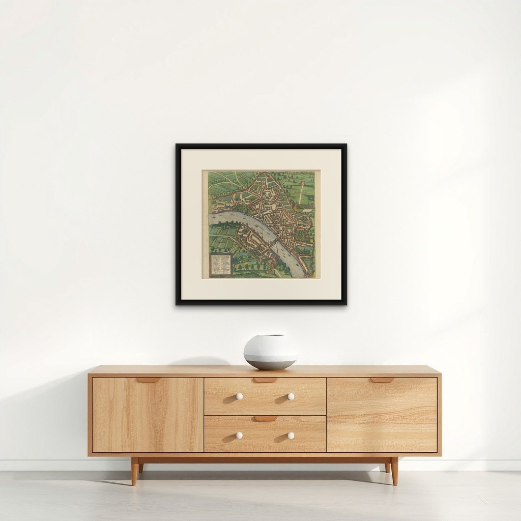
Bird’s-Eye View of Basel from Braun & Hogenberg’s "Civitates Orbis Terrarum" (Circa 1572-1617)
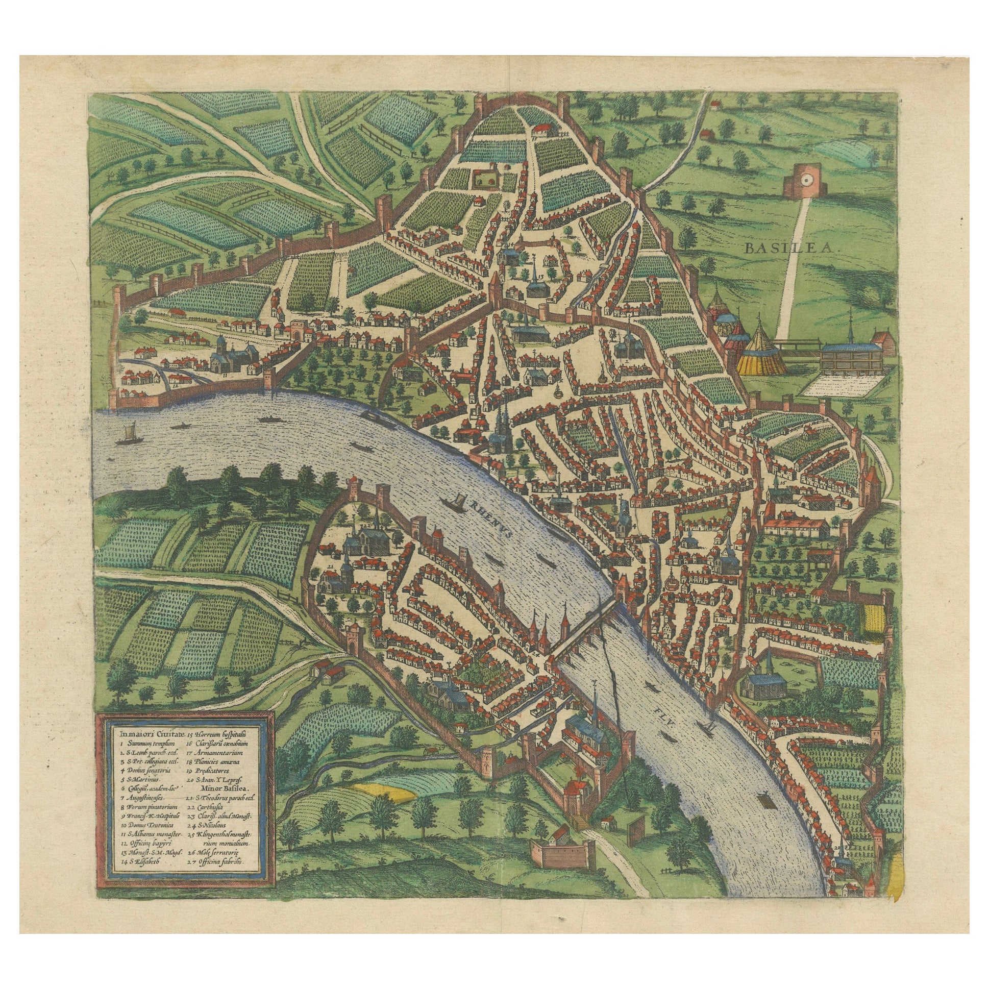
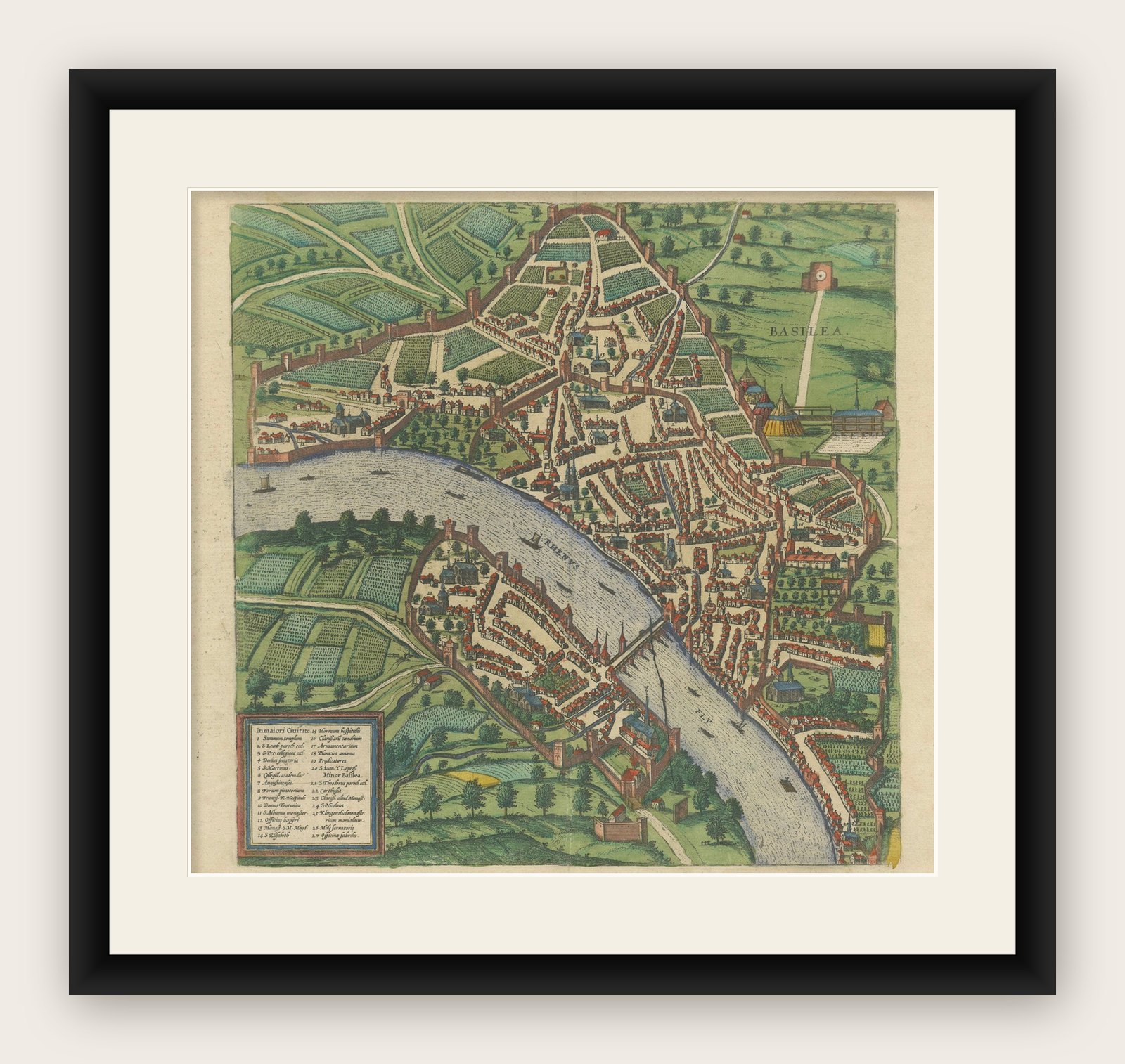
This highly detailed map of Basel is a bird's-eye view, originally based on Sebastian Münster’s map from around 1538, and later incorporated into Braun & Hogenberg's famous city atlas, Civitates Orbis Terrarum.
Published between 1572 and 1617, this monumental six-volume collection depicted over 500 towns and cities, providing a glimpse into the urban landscapes of the world during the Renaissance.
Key Features of the Map:
1. Geographical Context:
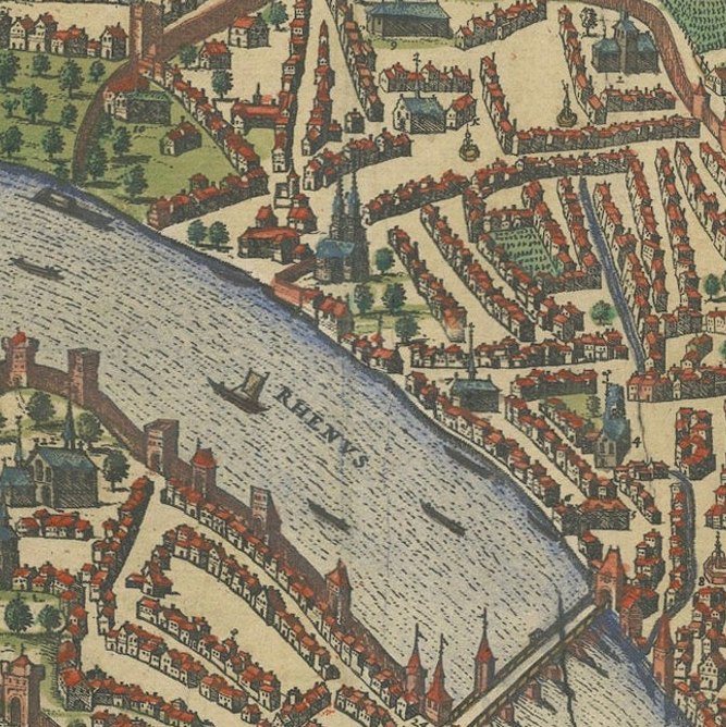
- Basel is strategically located on a sharp bend of the Rhine River, where Switzerland, France, and Germany meet. The map shows the river as an essential part of the city's daily life, with various boats navigating its waters.
2. City Layout:
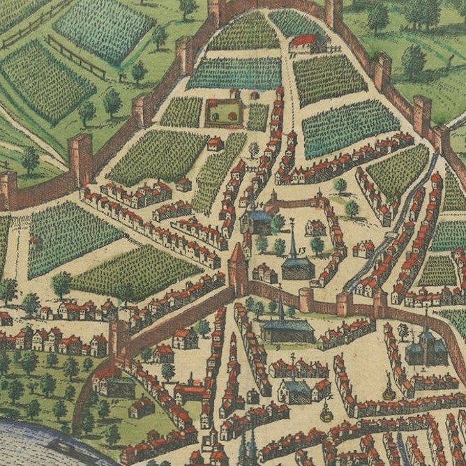
- The fortified city is enclosed by defensive walls, with multiple gates and towers guarding its perimeter. Streets, buildings, and fortifications are rendered with great precision, giving a sense of the city's structure and urban density. Basel's famous bridge crossing the Rhine is prominently depicted, illustrating its importance in connecting the two halves of the city.
3. Detailed Buildings and Streets:
- The map provides a remarkable level of detail, showing individual streets, public squares, churches, towers, and homes. The cartographer also included lush gardens and surrounding farmlands, highlighting the city's prosperous and orderly appearance.
4. Economy and Social Life:
- Beyond the architectural details, the map offers a glimpse into Basel's social and economic life. Ships on the river indicate busy trade routes, while activities within and outside the city walls suggest a thriving urban center. The large tents and archery range near the city wall, in the upper right, offer a glimpse into local pastimes and defensive preparations.
5. Legend and Annotations:
- The map includes a legend in the lower-left corner, which labels 27 key buildings and landmarks. This guide helps viewers identify significant structures such as churches, gates, and other important points of interest.
Here is the translation of the legend without bold lettering:
6. Artistic and Historical Importance:
- Braun & Hogenberg's Civitates Orbis Terrarum was one of the first major urban atlases in history, combining detailed geographic information with artistic flair. It was revolutionary in allowing people to explore cities from around the world from the comfort of their homes. The inclusion of local customs, manners, and costumes within the plates adds layers of cultural insight.
- The map reflects both Renaissance humanism and the increasing importance of cities as centers of culture, trade, and governance.
7. Military and Defensive Structures:
- Basel’s fortified walls and towers are a dominant feature of the map. The depiction of the tents and archery range outside the walls also provides an interesting look at the city's military preparations and recreational activities involving archery.
Historical Significance:
This map, created during a time of rising urban importance in Europe, serves as both a practical guide and a work of art. It captures the essence of Basel as a fortified yet bustling city, showcasing not only its architecture but also the people’s way of life. Civitates Orbis Terrarum became an important resource for scholars, travelers, and leaders during its time, giving them detailed views of cities across Europe and beyond.
The detailed nature of the map, combined with its artistry, reflects the fascination with geography and urban development in the 16th and 17th centuries.