Maps & PrintsBartele Gallery · Langweer
Home / Antique Maps / Europe / Western Europe / The Netherlands & Belgium

The Netherlands & Belgium

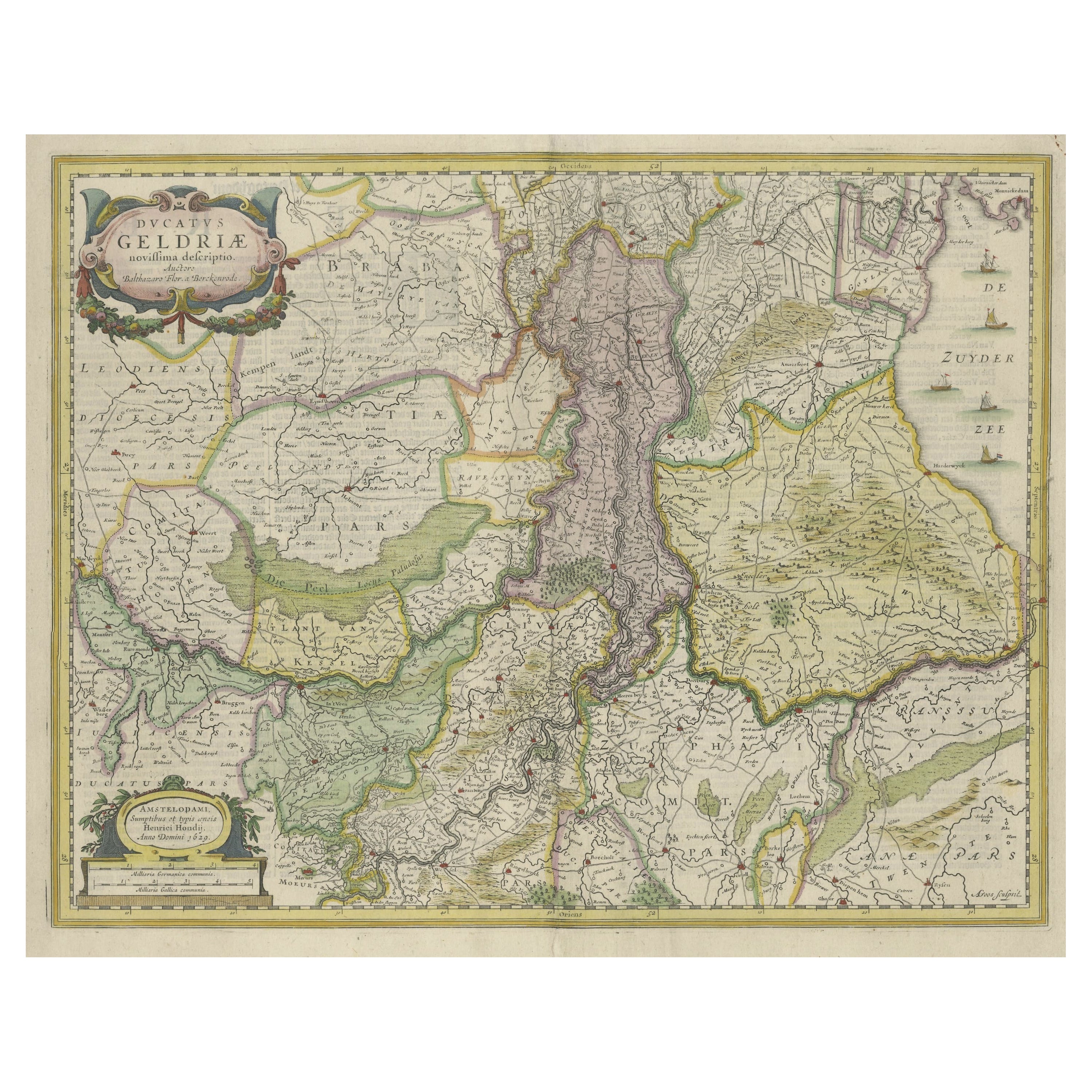
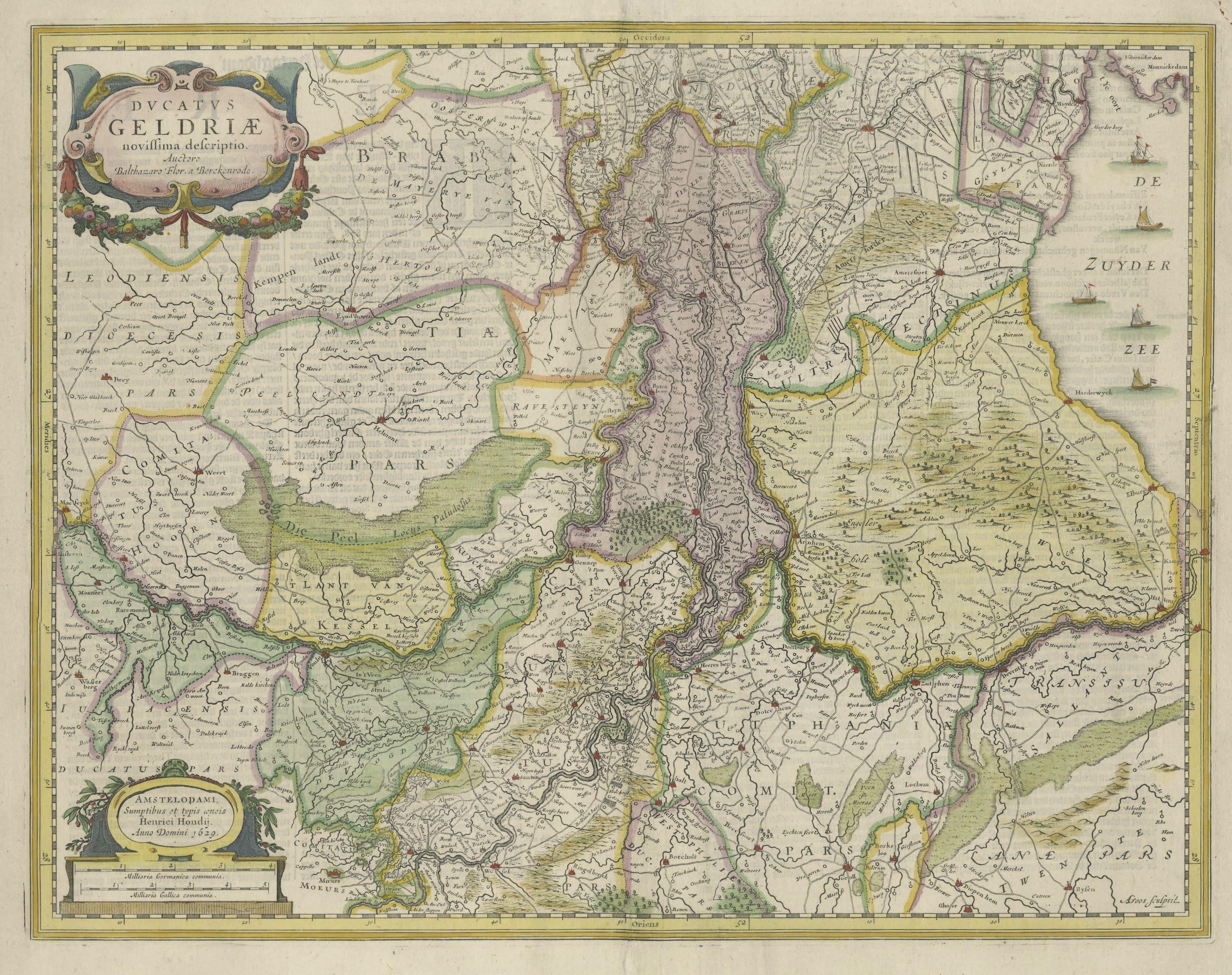

Original Hand-Colored Antique Map of Gelderland and Utrecht in the Netherlands

€ 1 200

One of a kind: this is the sheet in the photographs. Ships from Langweer, the Netherlands.

Sheet size
45.5 × 55.5 cm (17.9 × 21.9 in)
Condition
Good
Reference
BG-13308-2

Condition

Repaired. Wear consistent with age and use. General age-related toning, later hand coloring. Repair on verso, folding line flattened. Some wear and soiling. Dutch text on verso. Please study images carefully.
About this sheet

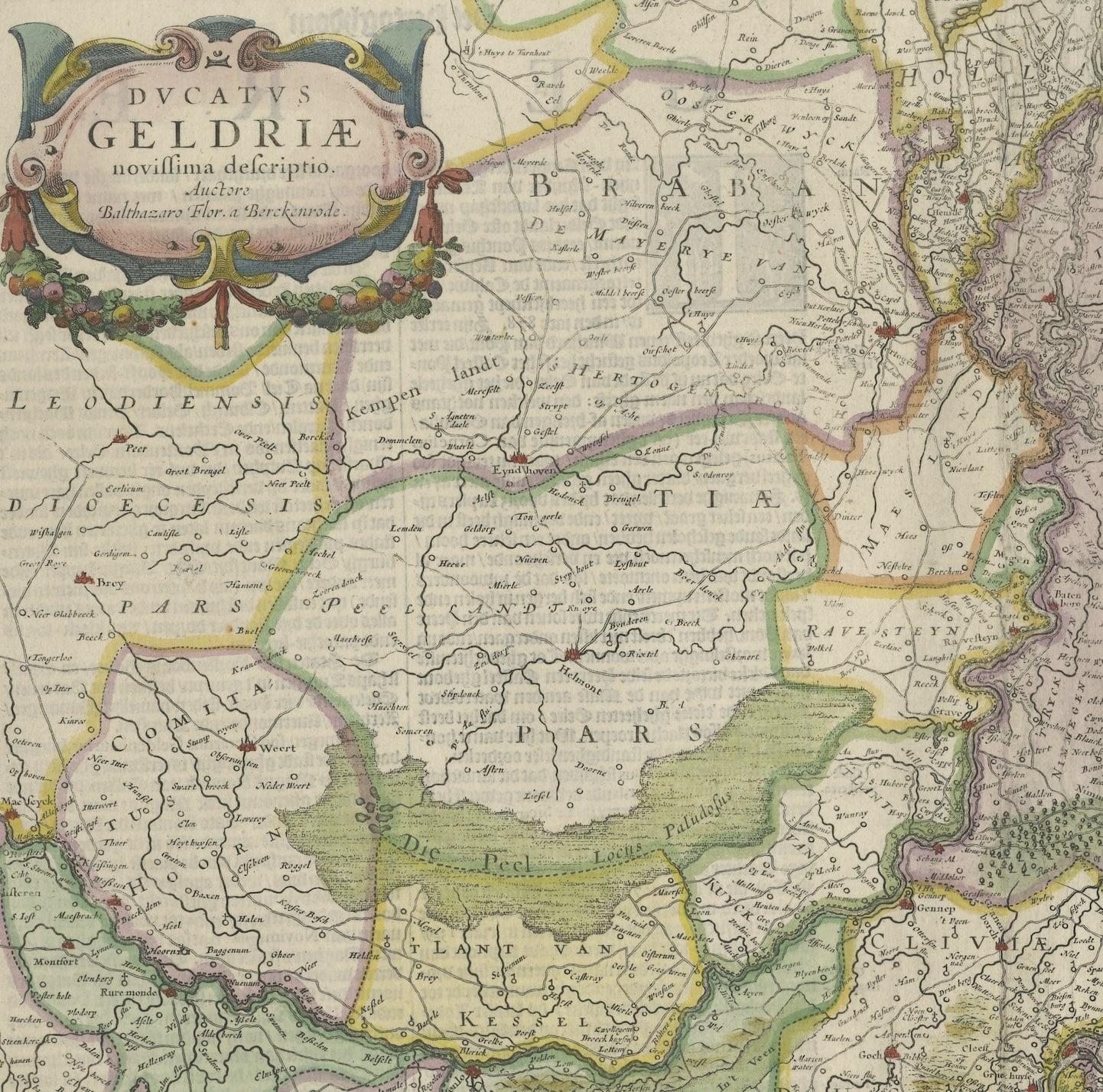
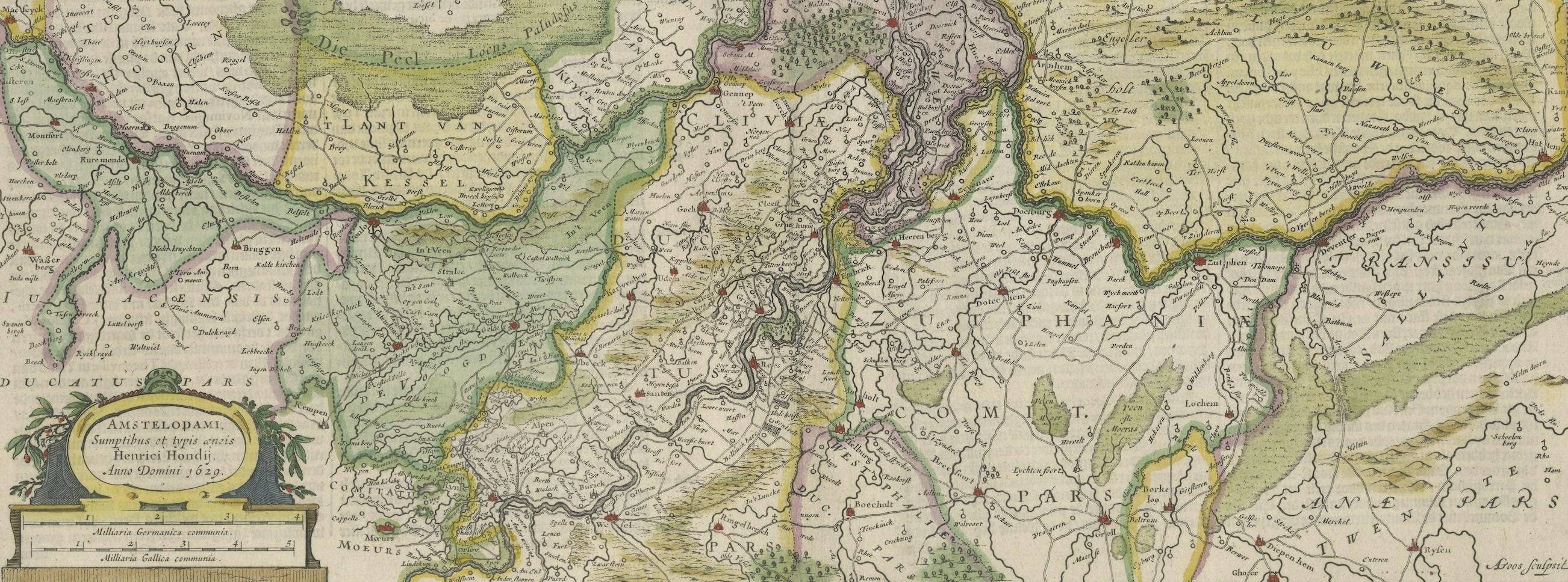
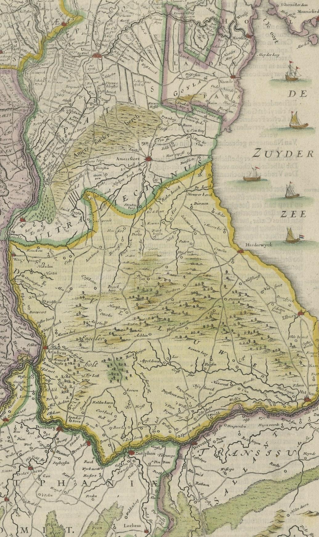
Antique map titled 'Ducatus Geldriae novissima descriptio'. Detailed map of Gelderland, a province in the Netherlands. Two coats of arms, one with scale. Ships on ‘De Zuyderzee’. Published by H. Hondius 1629.

More from The Netherlands & Belgium

Ask about this sheet

Original Hand-Colored Antique Map of Gelderland and Utrecht in the Netherlands
Ref. BG-13308-2 · € 1 200
We reply by email, usually within one working day.