

Maps & PrintsBartele Gallery · Langweer
Home / Antique Maps / Asia / East Asia / China

China · 18th century

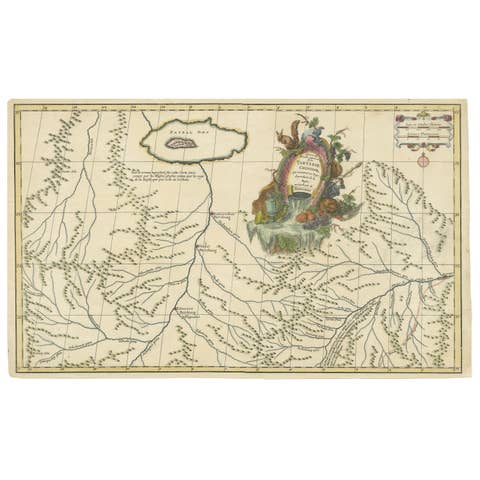
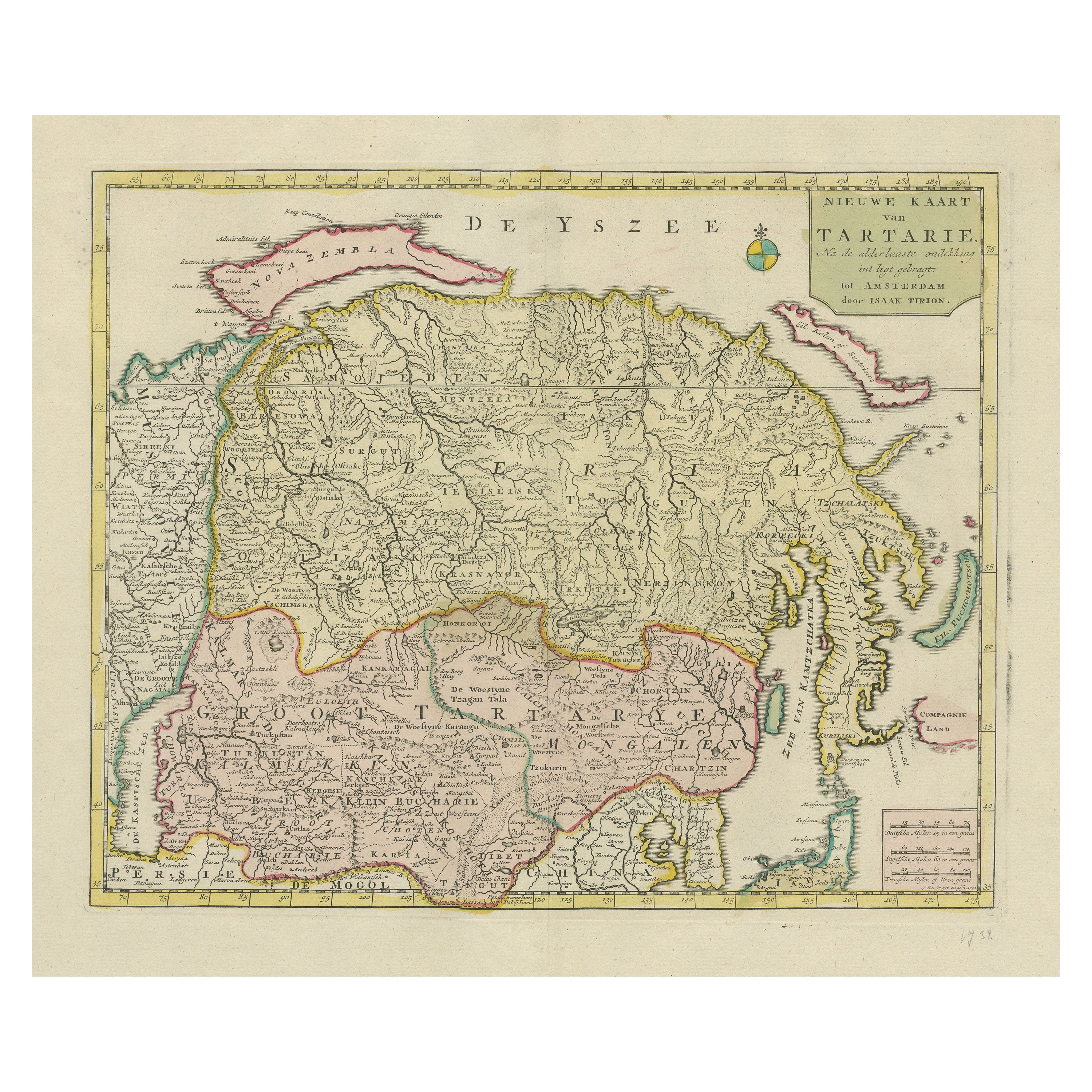

Antique Map op Siberia and Chinese Tartary with original hand coloring, 1732

€ 800

One of a kind: this is the sheet in the photographs. Ships from Langweer, the Netherlands.

Date
1732
Sheet size
42.4 × 54.6 cm (16.7 × 21.5 in)
Condition
Good
Reference
BG-13513-4

Condition

Repaired: Repair on folding line and tear top margin. Original/contemporary hand coloring. Original folding line. Shows some wear and soiling. Blank verso. Please study image carefully.
About this sheet

Antique map titled 'Nieuwe Kaart van Tartarie na de alderlaatste ontdekking int ligt gebragt'. Map op Siberia and Chinese tartary. In the north Novaya Zemlya curls back to attach itself to the mainland by a narrow isthmus. In the east Kamchatka reaches down almost to Japan. Published by I. Tirion, circa 1732.

More from China

Ask about this sheet

Antique Map op Siberia and Chinese Tartary with original hand coloring, 1732
1732 · Ref. BG-13513-4 · € 800
We reply by email, usually within one working day.