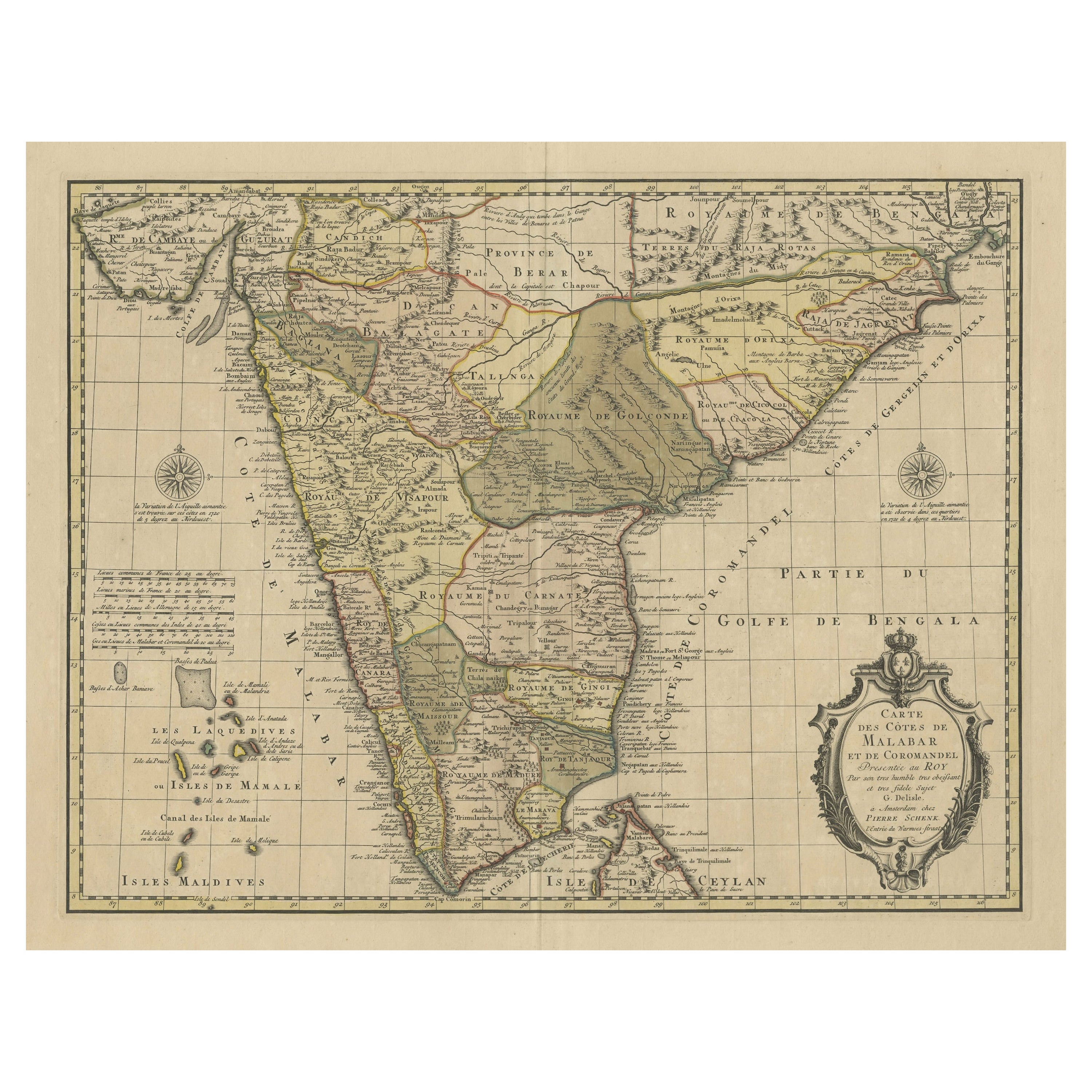
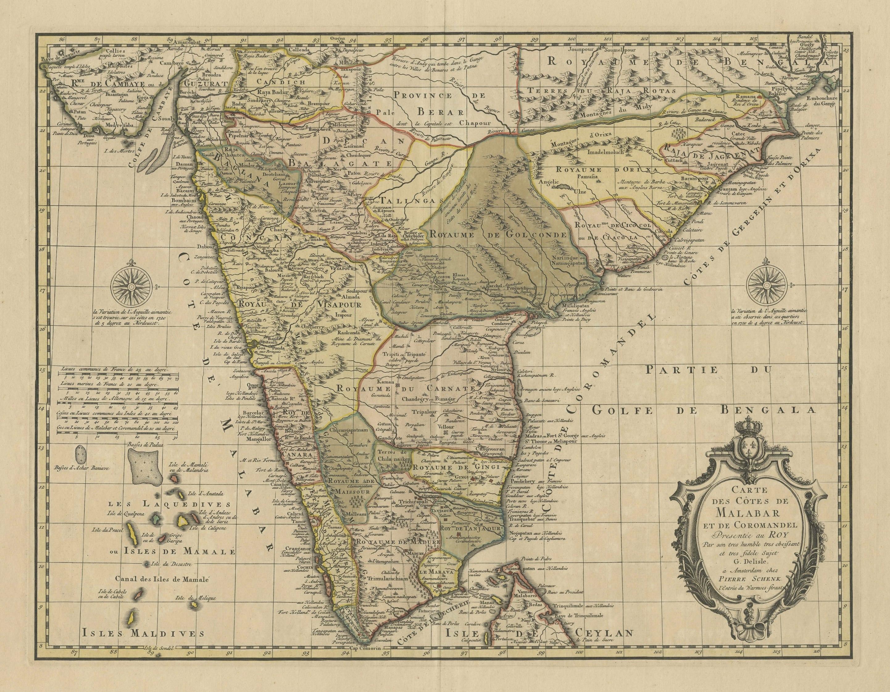

Detailed Decorative Antique Map of the Coast of Malabar and Coromandel, India
€ 1 200
One of a kind: this is the sheet in the photographs. Ships from Langweer, the Netherlands.
Sheet size
53.5 × 64 cm (21.1 × 25.2 in)
Condition
Good
Reference
BG-13310
Condition
Wear consistent with age and use. Original/contemporary hand coloring. Age-related toning. Minor wear, blank verso. Original folding line. Please study images carefully.
About this sheet
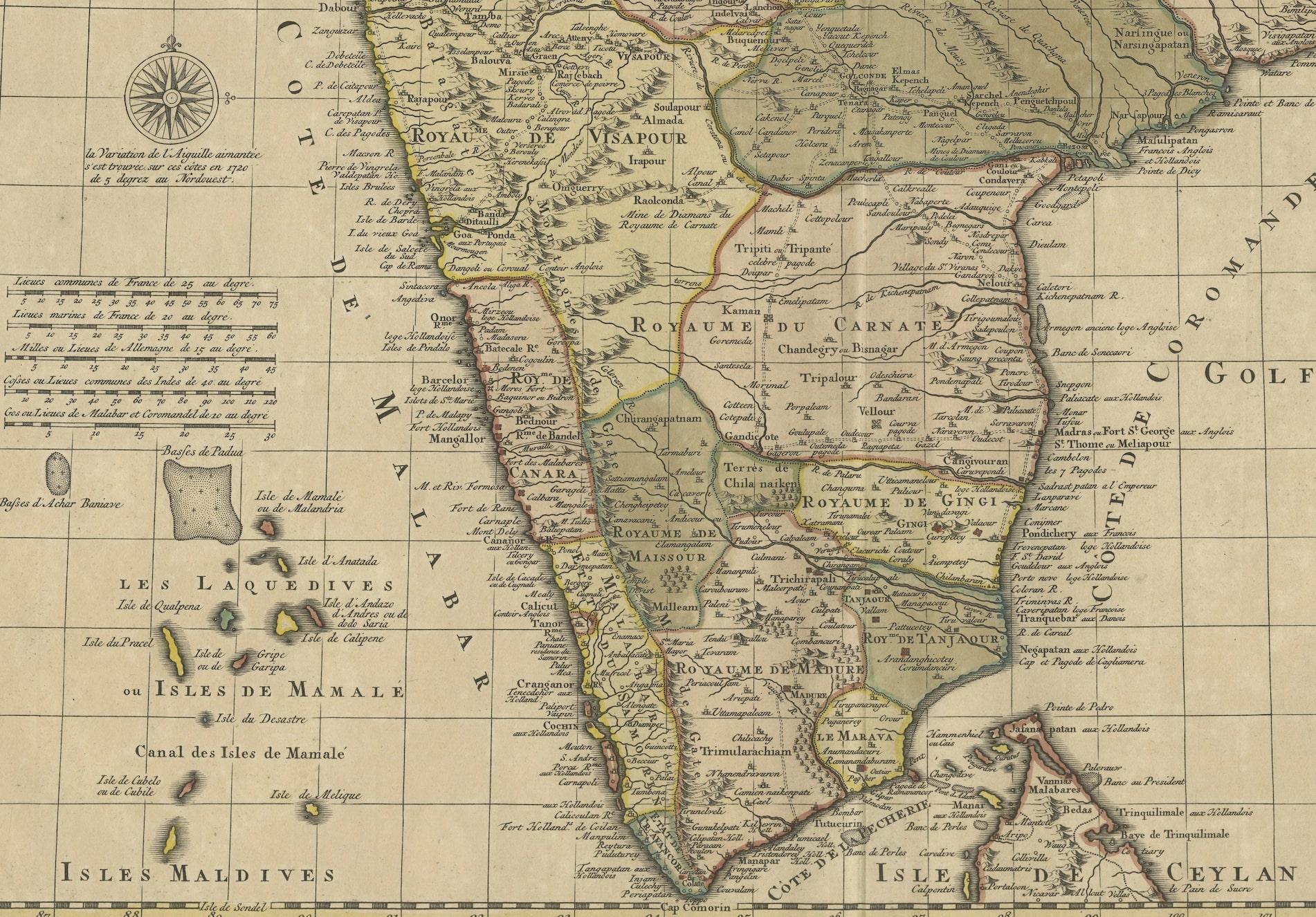
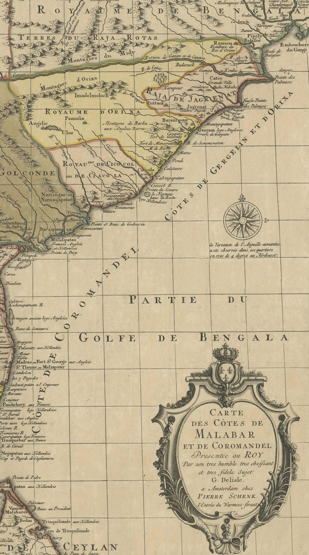
Antique map titled 'Carte des Côtes de Malabar et de Coromandel'. Finely engraved map of the southern part of India, first issued in 1723 by acclaimed French mapmaker Guillaume De L’Isle. It focuses on trade routes within India, as well as the Coromandel and Malabar Coasts. The map shows the Indian subcontinent, from Gujarat and Bengal south. The northern tip of Ceylon, or Sri Lanka, peeks out of the southern border. To the west, the Maldives dot the waters off the Malabar coast.
Rivers, including the mighty Ganges, are indicated, as our mountain ranges. Political boundaries are outlined, with settlements marked by circles or small buildings. Trade routes snake across the terrain, indicated by double dashed lines. They radiate from areas rich in resources, such as the diamond mine of Raolconda [part of the Golconda diamond mines], or from cities at the crossroads of commerce, such as Amandabat [Ahmedabad].