About this sheet

Eastern Roman World Map, Black Sea & Levant, Antique Engraving c.1818
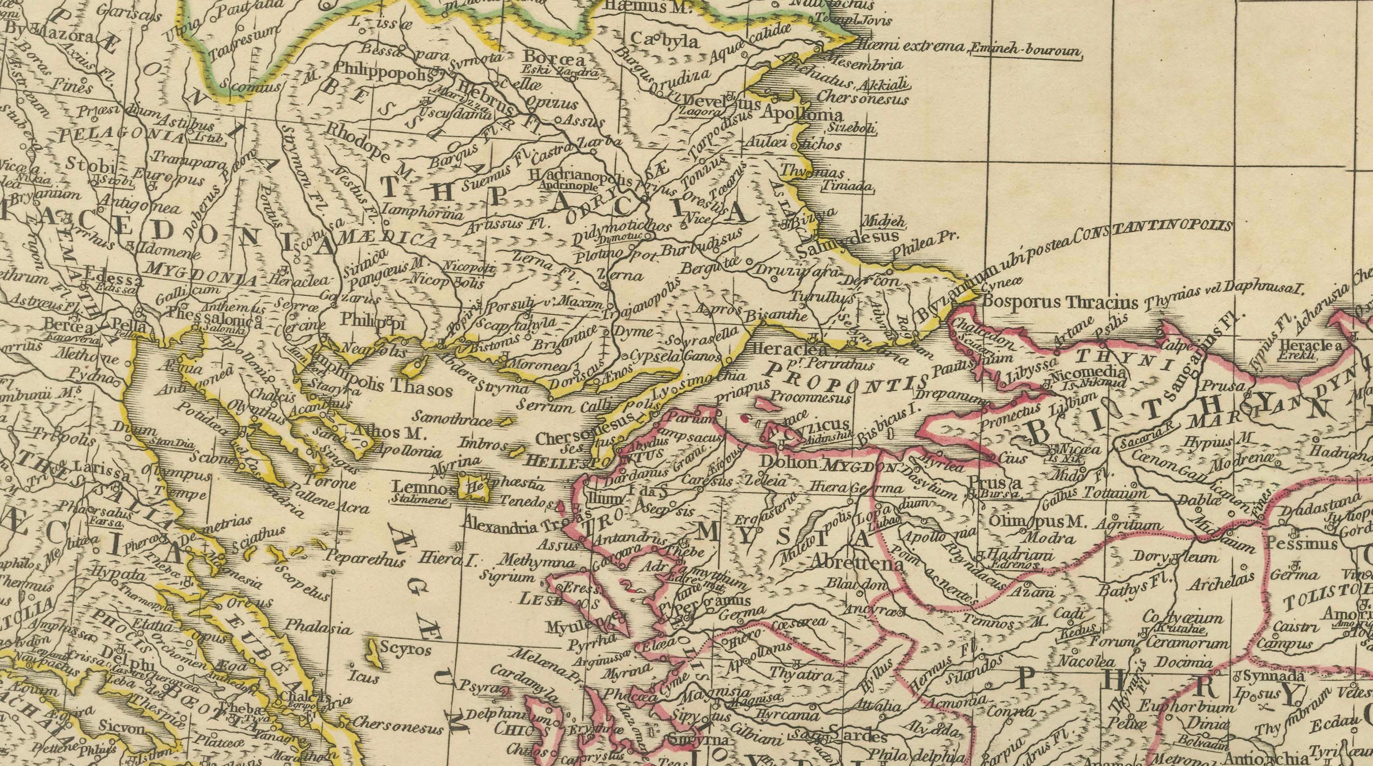
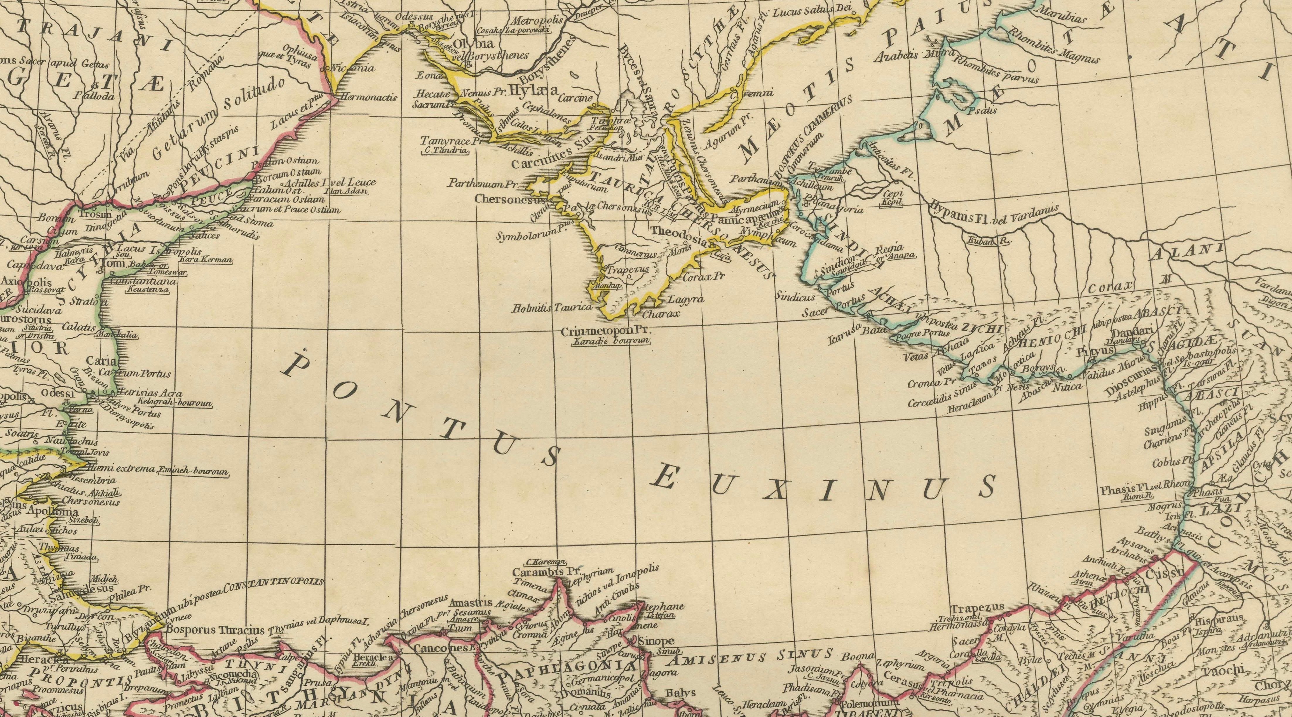
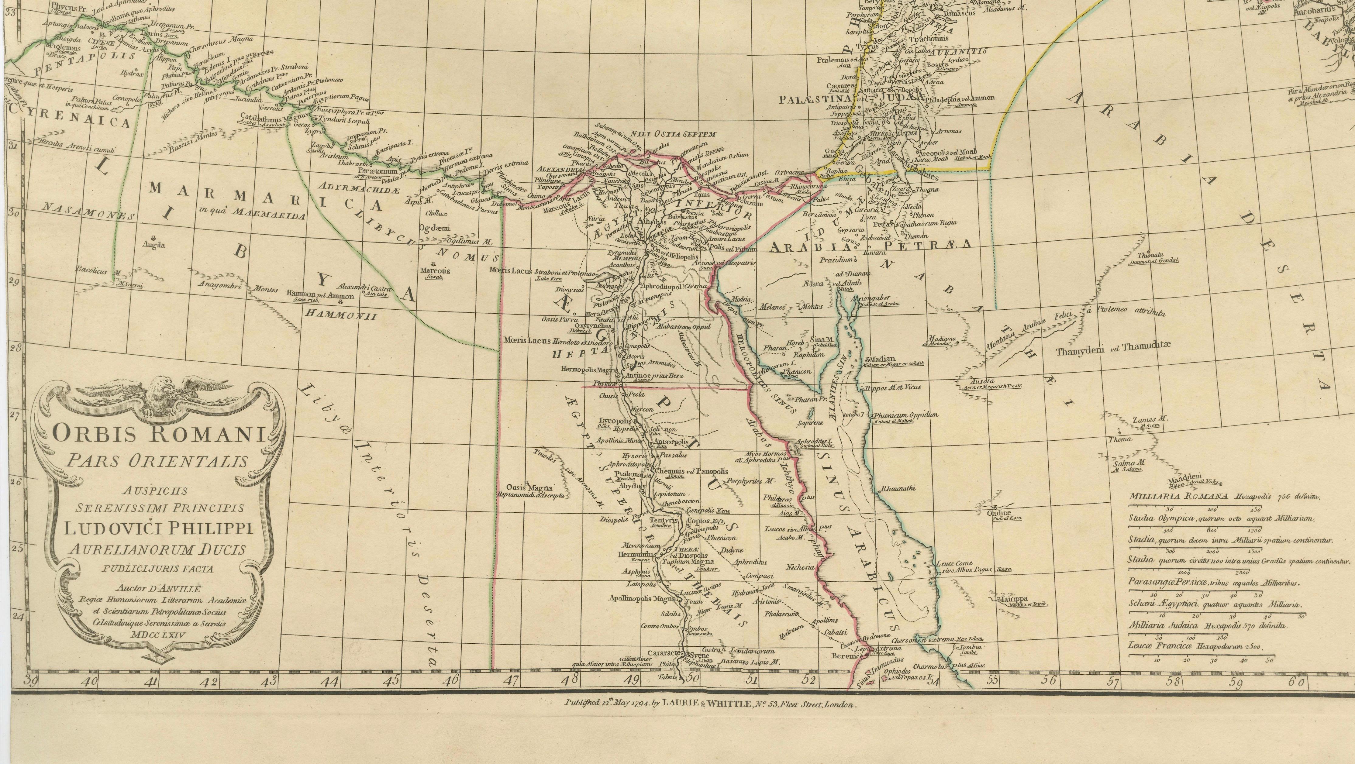
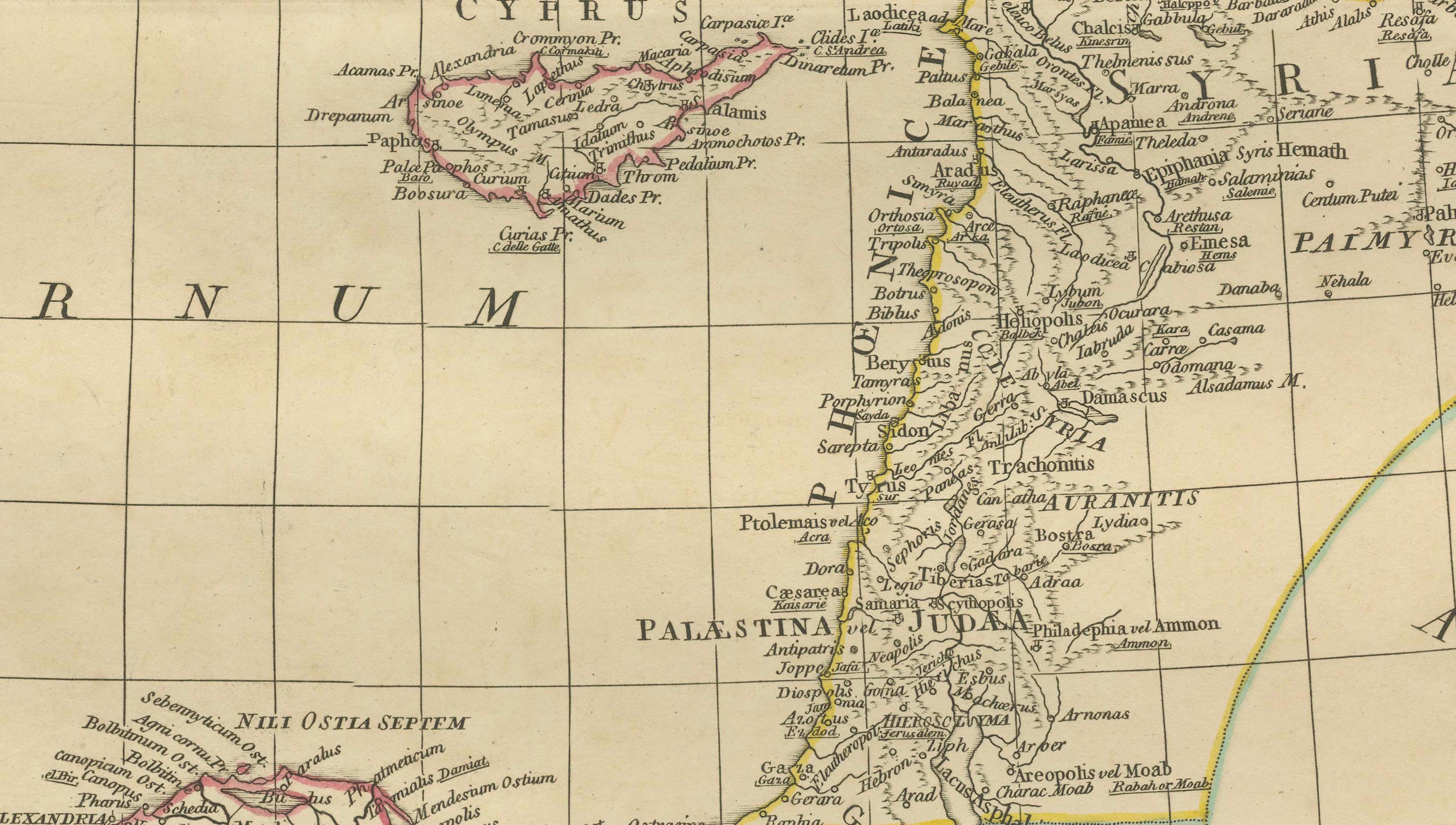
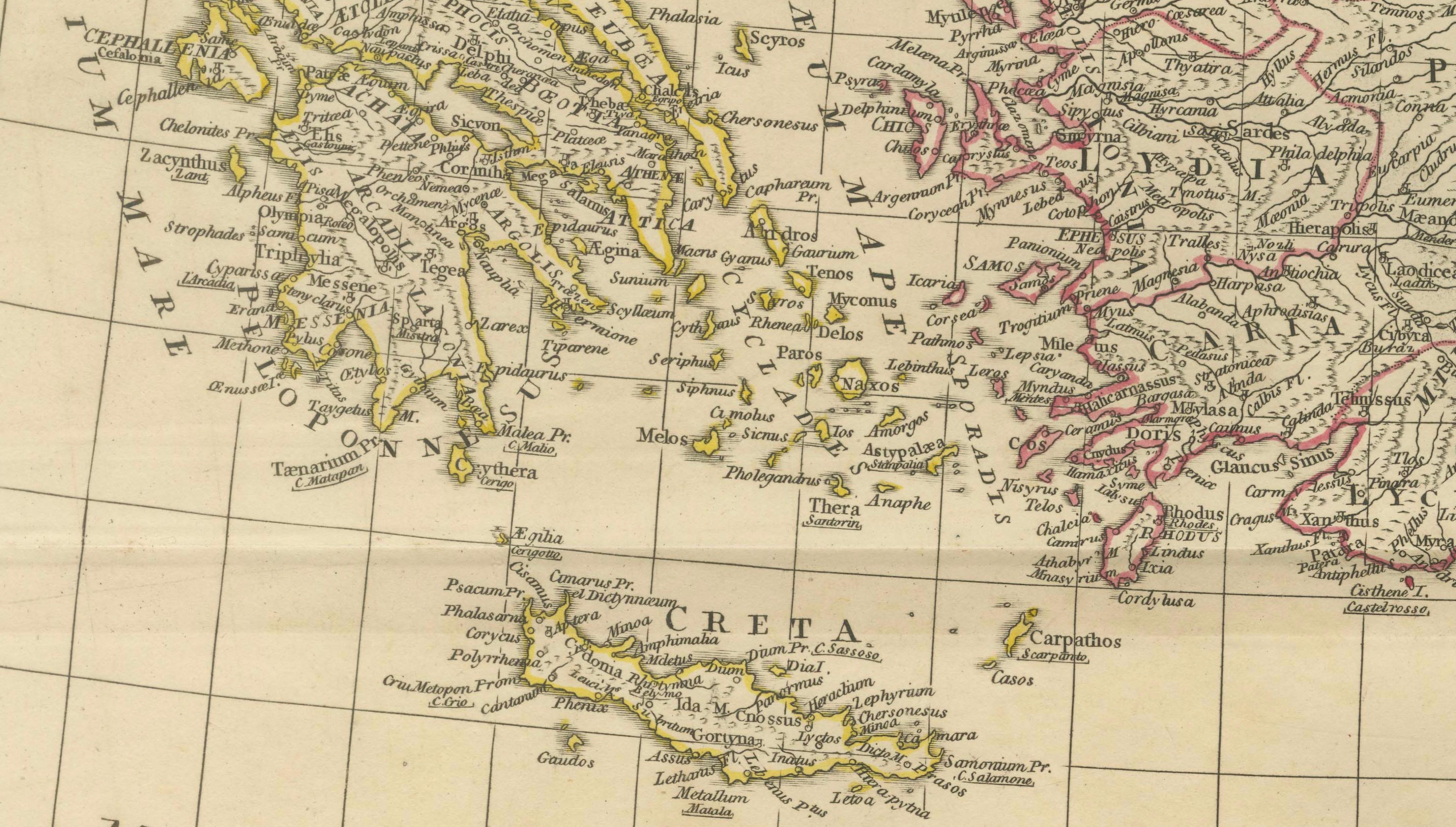
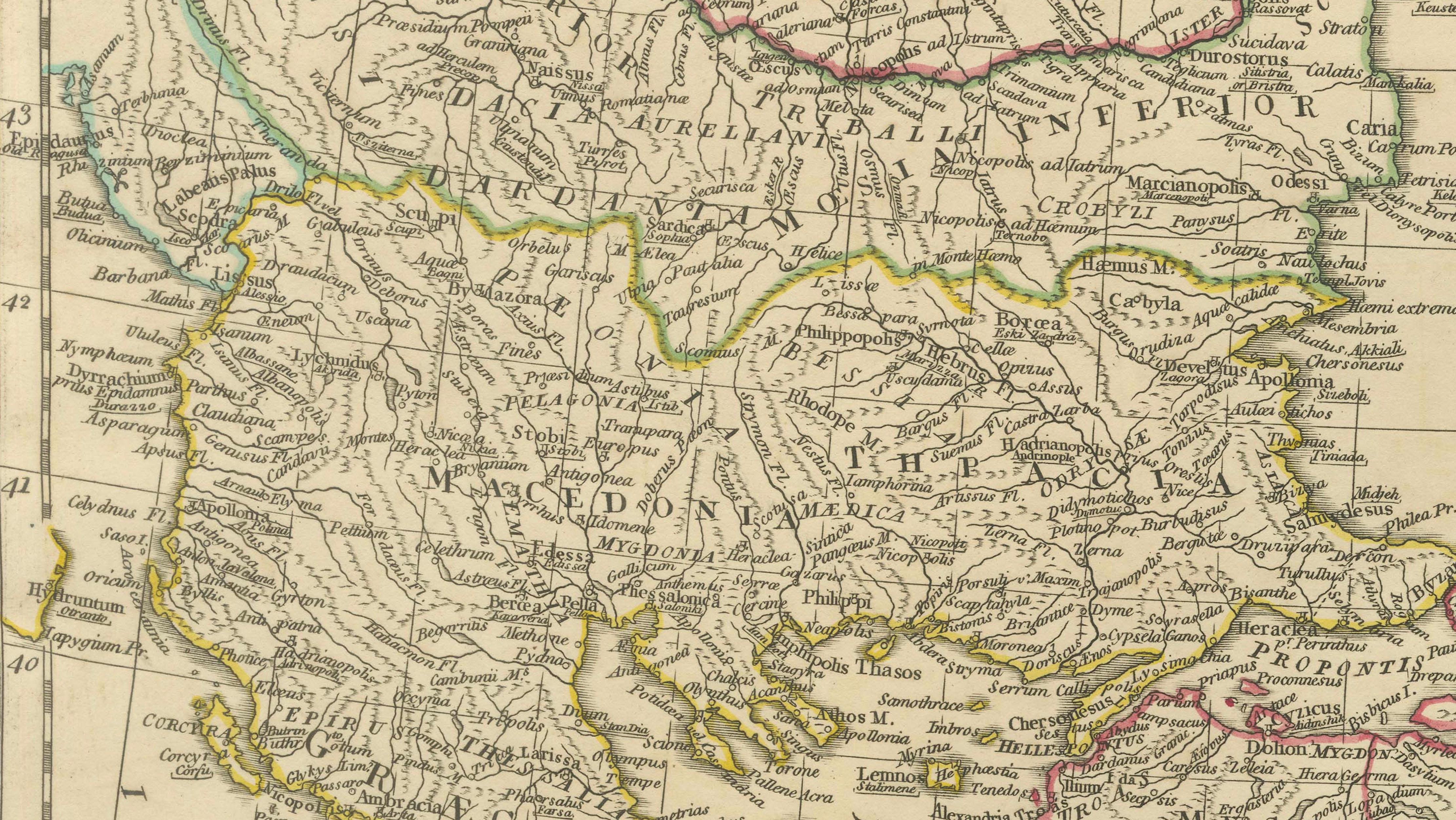
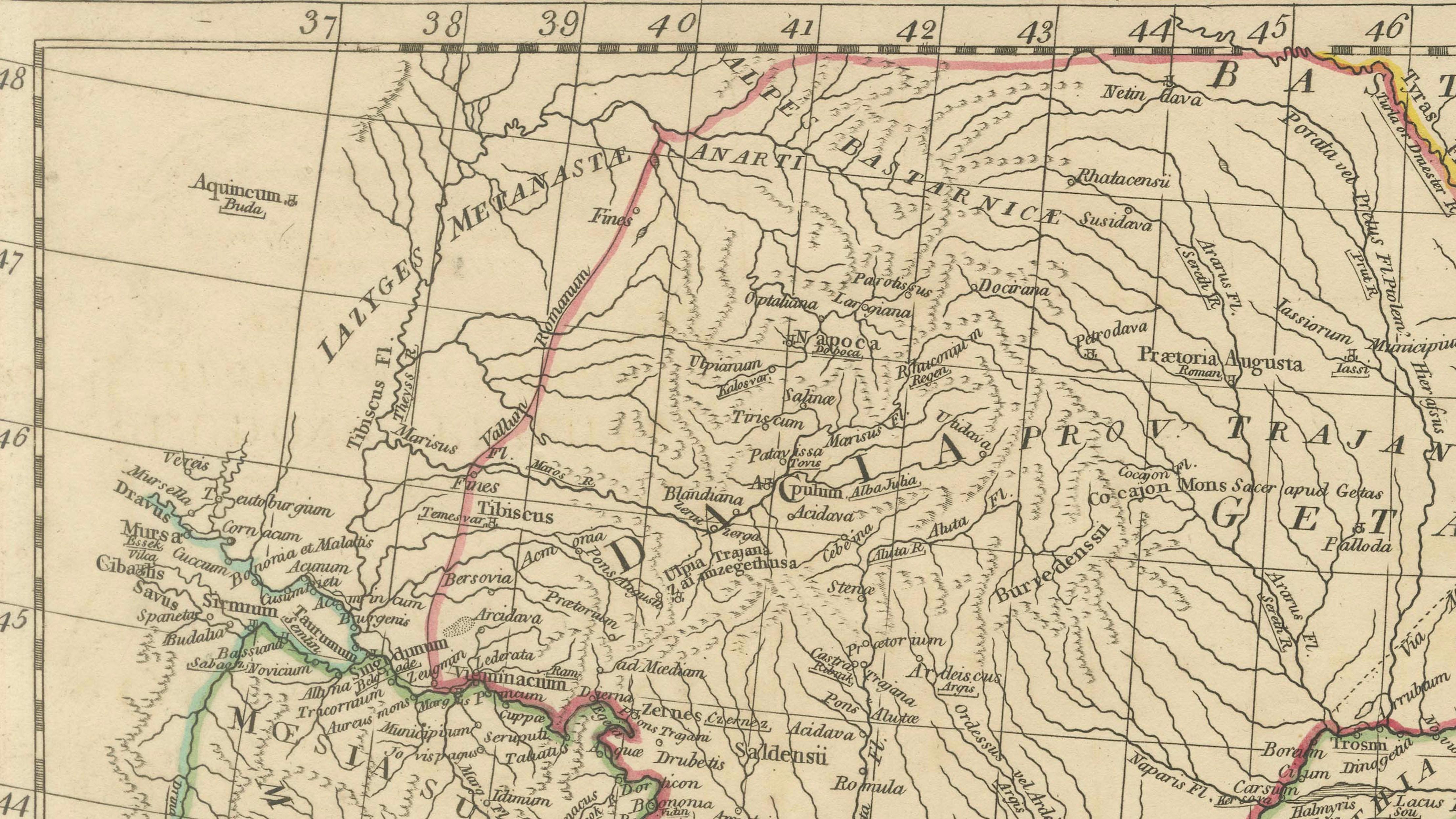
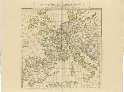
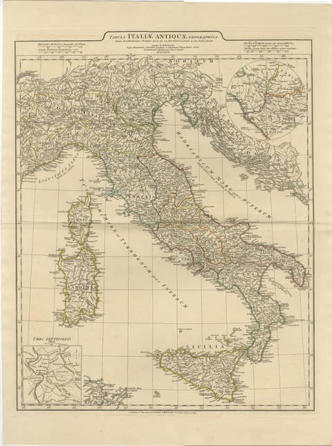
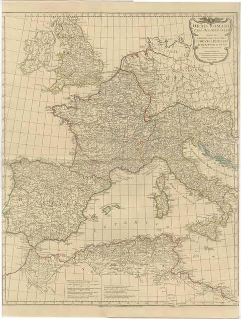
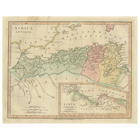
Antique engraved map of the eastern part of the Roman World, depicting the eastern provinces of the Roman Empire from Greece and the Balkans through Asia Minor, the Levant, and Egypt. The map encompasses the entire Black Sea (Pontus Euxinus) and the eastern Mediterranean (Mare Internum), and is distinguished by its dense topographical detail and extensive use of classical place names.
The map is based on the authoritative work of Jean-Baptiste Bourguignon d’Anville, one of the most influential historical geographers of the Enlightenment. D’Anville revolutionized ancient cartography by rejecting speculative geography in favor of rigorous analysis of classical sources, inscriptions, itineraries, and archaeological evidence. His reconstructions of the Roman world became the scholarly standard well into the 19th century.
This example is the English edition published in London by Laurie & Whittle, issued circa 1818, and bound in the atlas A Complete Body of Ancient Geography. The atlas represents an expanded English adaptation of d’Anville’s research, produced for academic and educational audiences during the height of classical historical studies in Britain.
The engraving is clear and finely executed, with original outline color used to distinguish Roman provinces and regions. The restrained, analytical style reflects d’Anville’s emphasis on accuracy over ornament, making this map a cornerstone reference for collectors of classical geography, Roman history, and Enlightenment-era cartography.
A highly desirable example of early 19th-century historical mapmaking, combining scholarly authority with elegant presentation.
Condition:
Attractive antique condition with light overall toning and age-appropriate wear. Original outline coloring remains fresh. Central fold as issued. Tight margins, but no major losses or repairs observed.
Framing tips:
Pairs well with a medium walnut or dark-stained frame and a wide ivory or soft parchment-colored mat. Museum glass recommended to preserve the delicate engraving and original color.
Technique: Engraving with original outline color
Maker: Jean-Baptiste Bourguignon d’Anville (after), London issue by Laurie & Whittle, circa 1818
Short Scholarly Footnote:
Jean-Baptiste Bourguignon d’Anville is regarded as the founder of modern historical cartography. By systematically comparing ancient texts with physical geography, he eliminated centuries of cartographic speculation and established a new scholarly standard that shaped classical geography well into the modern era.
keywords: antique map, roman empire map, eastern roman empire, roman world map, ancient geography, classical cartography, d’anville map, laurie and whittle, 19th century map, antique engraved map, black sea map, pontus euxinus, eastern mediterranean map, mare internum, greece roman map, asia minor map, levant antique map, palestine roman map, egypt roman map, byzantine world map, classical history map, scholarly antique map, enlightenment cartography, neoclassical wall art, historical wall decor, antique map wall art, interior designer map, library wall art, study decor, academic map, museum style decor, european antique map, british atlas map, classical antiquity, roman provinces map, ancient place names, parchment toned map, neutral wall art, collectible antique map, framed antique map, roman history decor