maps-prints.com
✦
Black Friday Sale
Friday 20 to Monday 30 November: up to 30% off original antique maps and prints
The terms
- Up to 30% off selected original antique maps and prints. Every piece is an original, printed in its own time; none is a reproduction.
- The sale runs from Friday 20 November to Monday 30 November. Sale prices shown here apply from Friday 20 November; until then pieces are sold at their regular price.
- Free FedEx shipping on qualifying orders placed on our own websites: USA, Canada, UK and Europe over $500 / €450; rest of the world over $750 / €675. Smaller orders pay our normal shipping rate.
- Orders placed from 15 to 30 November ship from 1 December, in time for Christmas. Our shipping partner is InXpress.
- Each piece is unique, so the sale is while stock lasts.
Collection:AllAmericanSea chartsMilitaryNatural historyFashionArchitectureBotanicalSacredEast Indies
Sale prices apply from Friday 20 November. Save the pieces you like with the heart and come back on Friday.
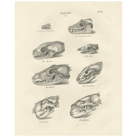 19th-Century Scientific Lithograph of Animal Skulls: Lion, Wolf, Bat and more
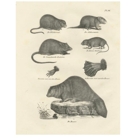 19th-Century Zoological Lithograph of Beavers, Muskrats and Field Mice
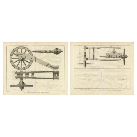 18th-Century Artillery Engraving of the Spanish Captain's Carriage and Mechanism
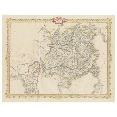 1851 Tallis Map of China with Tibet, Formosa, and Burma – Engraved by J. Rapkin
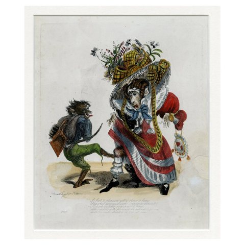 Antique 1828 Satirical Print A Fool to Pleasure Yet a Slave to Fame Hand-Colored
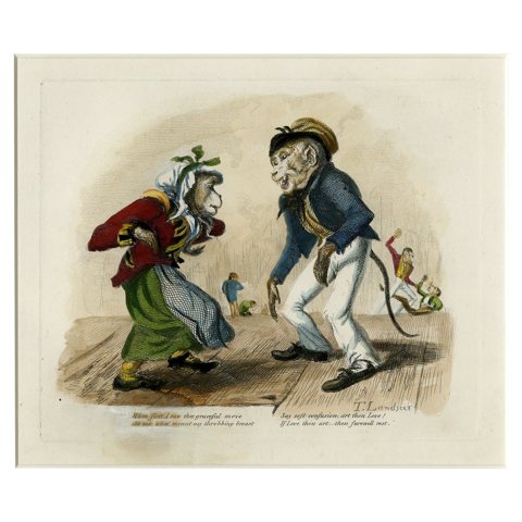 Antique 1828 Satirical Print When First I Saw Thee Graceful Move Hand-Colored
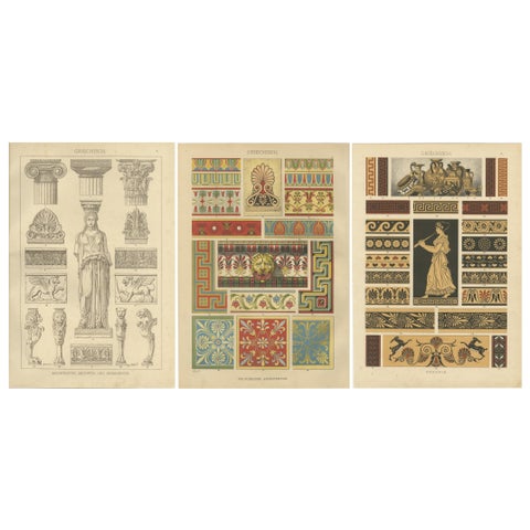 Set of 3 Antique Greek Architecture and Ornament Prints from 1887, Neoclassical
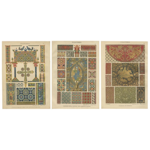 Set of 3 Byzantine Style Prints by H. Dolmetsch from Ornamentenschatz, 1887
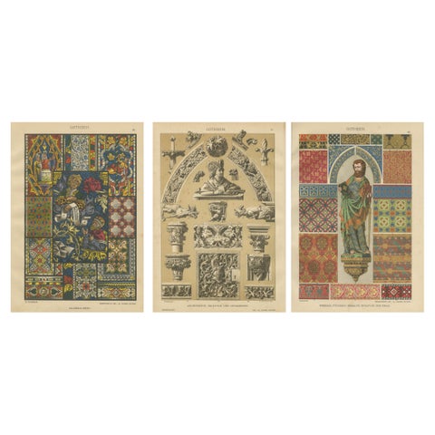 Gothic Decorative Art Prints: Stained Glass, Sculpture and Textile Motifs 1887
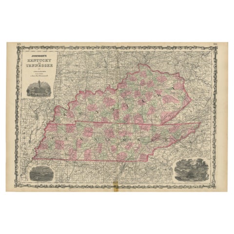 Civil War Era Map of Kentucky and Tennessee with Scenic Insets, Published 1864
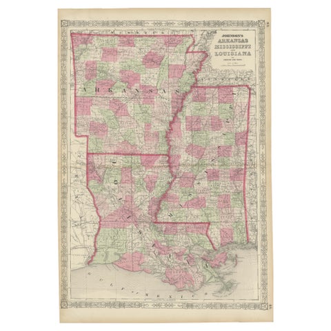 Rare 1864 Civil War Era Map of Arkansas, Mississippi, and Louisiana
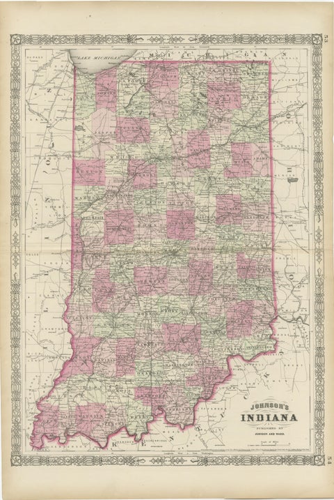 Decorative 1864 Civil War Era Map of Indiana with Lake Michigan Detail
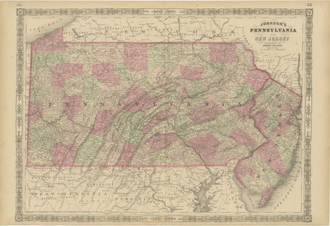 Historic 1864 Civil War Map of Pennsylvania and New Jersey with Coastal Focus
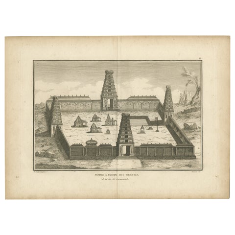 1806 Engraving of Arunachalesvara Temple, Hindu Pagoda on Coromandel Coast
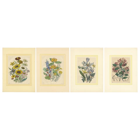 Set of Four Colorful Botanical Flower Prints from Book of Worlds, circa 1850
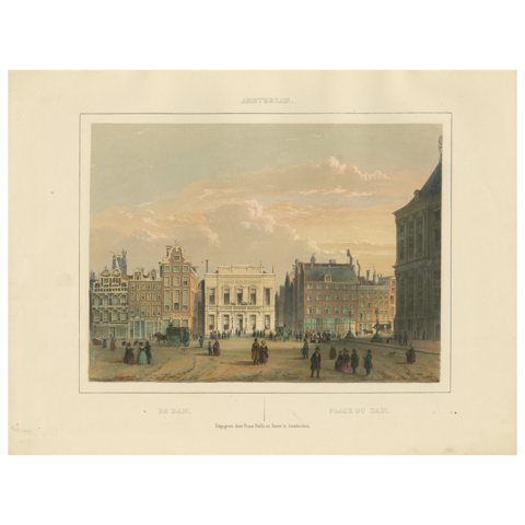 Antique View of Dam Square, Amsterdam, Hand-Colored Lithograph c.1850
 Japanese Geisha Portrait Print: Vibrant Kimono and Serene Poise, c.1882
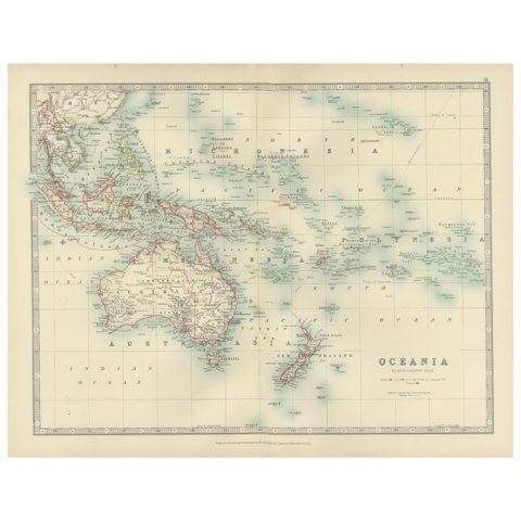 Antique Map of Oceania, 1903, Featuring the Pacific Islands and Australasia
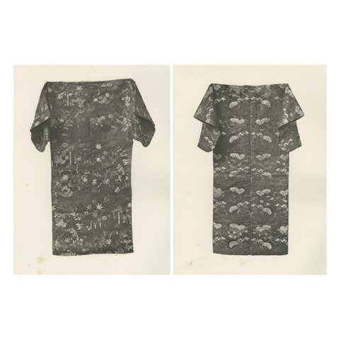 Japanese Kimonos in Nature Motifs: Antique Heliogravures, 19th Century
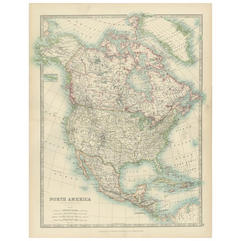 Explore North America in 1903 - Intricately Detailed Antique Map
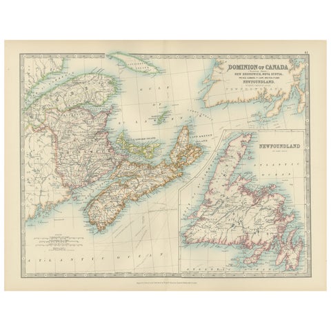 Canada Dominion Map 1903 - A Detailed View of Eastern Canada and Newfoundland
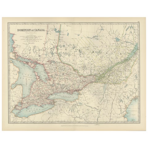 Canada Map 1903 - East Central Dominion - Ontario, Quebec & More
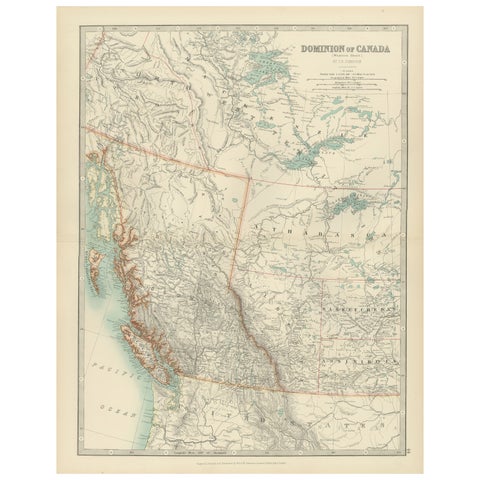 Canada’s West – 1903 Engraved Map by Johnston – Unique and Historic
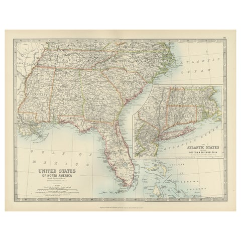 Map of the Southeastern USA and Atlantic States – Vintage 1903 Geography
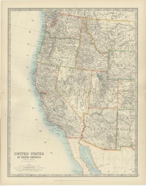 Map of Western United States 1903 – Railroads, State Borders, and Terrain
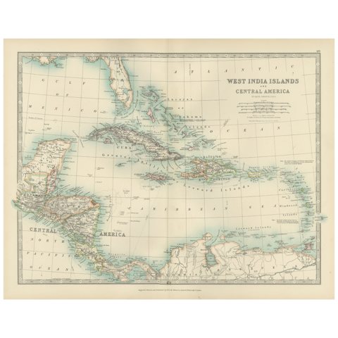 Map of the West India Islands and Central America – Colorful 1903 Engraving
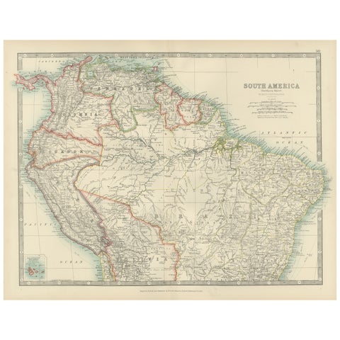 Map of Northern South America – Vibrant Engraving by Keith Johnston, 1903
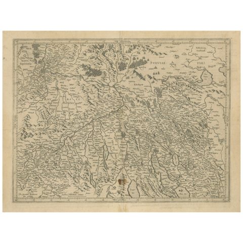 Map of Zurich and Basel Region by Mercator, Uncolored Engraving c.1600
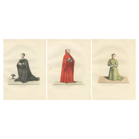 Costumes of a Knight, a Poet, and a Muse from Medieval Italy, Published in 1845
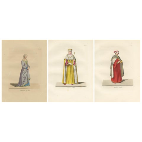 Florentine Matron, Roman Senator & Renaissance Physician in Historic Dress, 1845
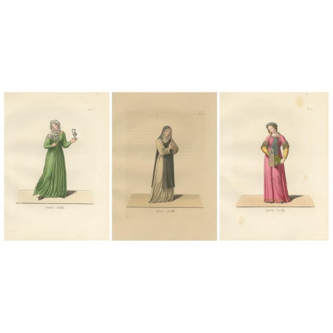 Servant, Dominican Nun and Young Lady in Traditional Italian Dress - 1845 Print
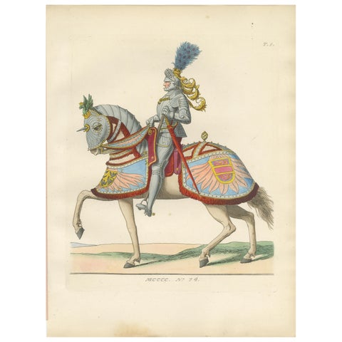 Armored Emperor Maximilian on Horseback in Ornate Renaissance Parade Dress. 1845
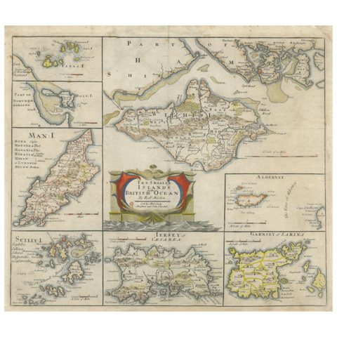 British Island Group Map 1695 – Morden’s Smaller Islands of the British Ocean
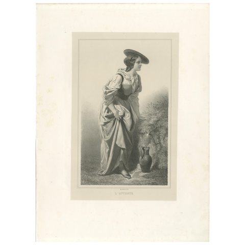 L’Attente – 19th Century French Lithograph of a Woman at the Fountain, ca.1840
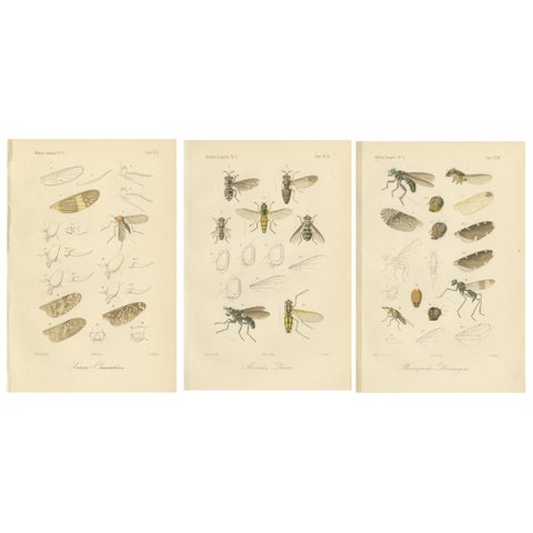 Set of 3 Antique Fly Prints – Sumatra Diptera Species c.1887
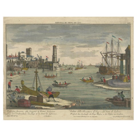 Lisbon Harbour View – Optical Print of Port and Tagus River c.1780
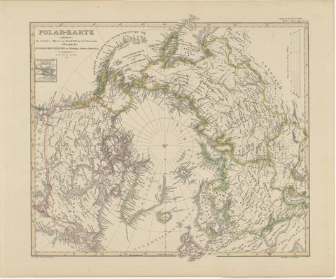 Arctic Polar Map – Greenland, North Pole & Russian Empire Regions, 1857
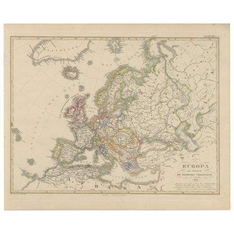 Europe Map – Political Divisions and Borders, Published in 1858
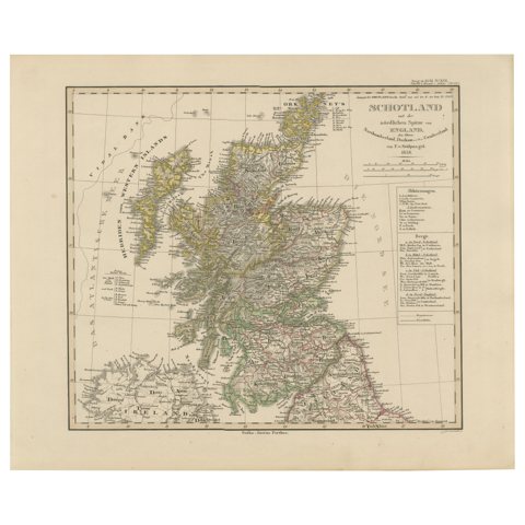 Scotland Map – Highlands, Islands, and Northern England 1858
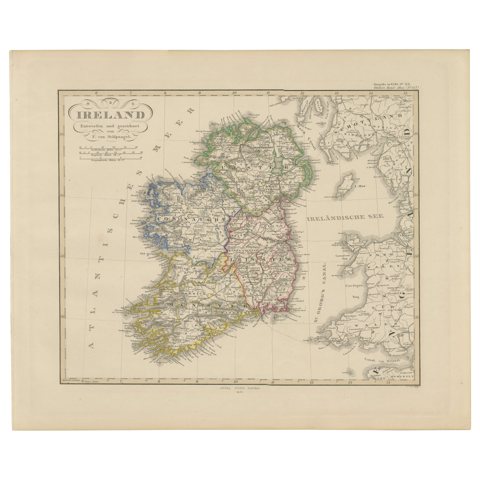 Ireland Map – Provincial and County Divisions 1851
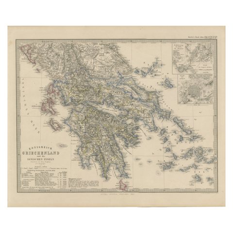 Greece Map – Kingdom of Greece and Ionian Islands 1847
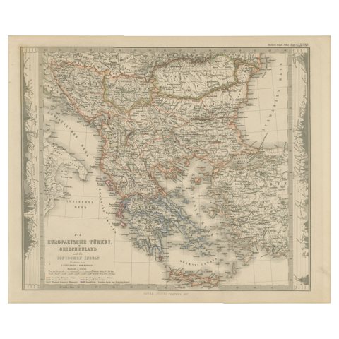 European Turkey and Greece Map – Balkans and Ionian Islands 1857
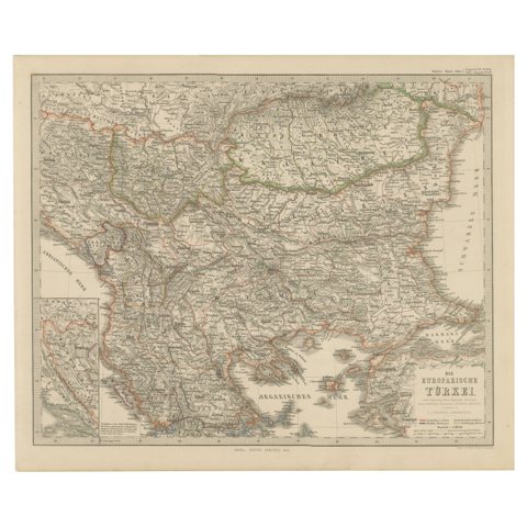 Antique Map of European Turkey and Greece, Copperplate Engraving, 1857
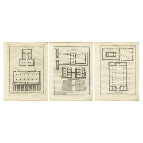 Ancient Egyptian Temple Plans – Edfu, Erment, Esna & Thebes, c.1776 Engravings
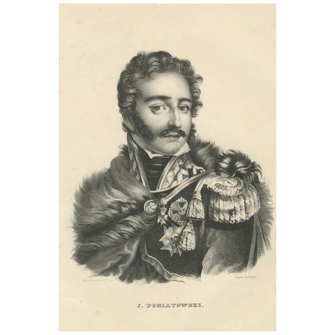 Heroic Portrait of Polish General J. Poniatowski – 1836 Lithograph
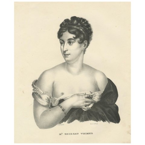 Elegant Portrait of Mlle Georges Veimer – Lithograph by Last & Van Visser, 1836
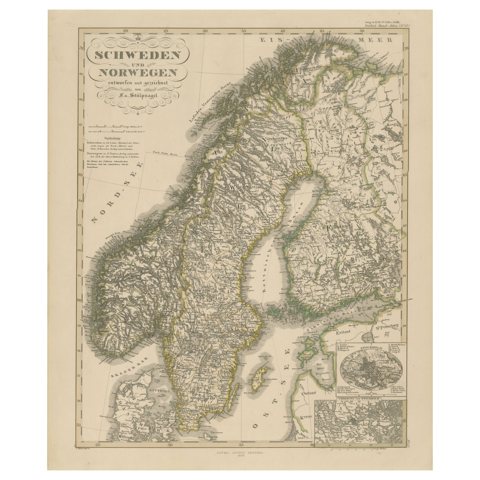 Antique Map of Scandinavia 1857 – Sweden & Norway in Detail
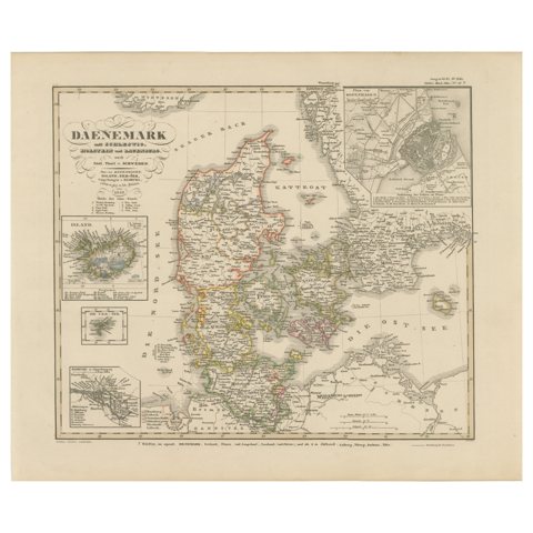 Antique Map of Denmark 1858 – Includes Iceland & Copenhagen Plan
Sharing the sale? Download the Black Friday banners.