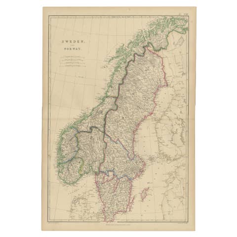
Antique Map of Scandinavia 1857 – Sweden & Norway in Detail
€ 340
One of a kind: this is the sheet in the photographs. Ships from Langweer, the Netherlands.
Date
1857
Sheet size
45.4 × 37.5 cm (17.9 × 14.8 in)
Condition
Good
Reference
BG-05552-24
Condition
Condition report: Very good condition with strong plate mark, minor toning around the edges, and no tears or repairs. Paper is clean and crisp, with only minimal age-related wear.
About this sheet
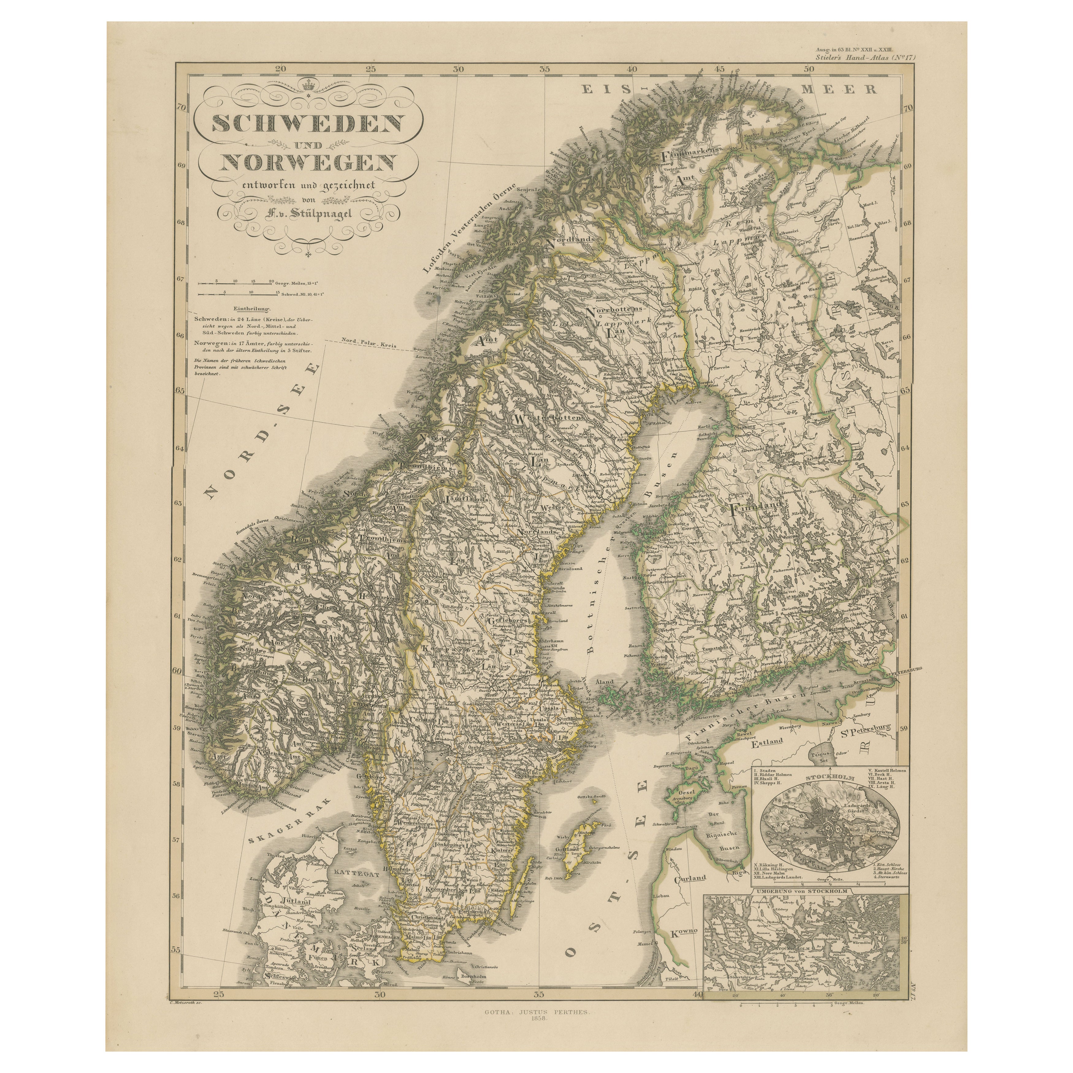
Sweden and Norway Map – Stieler Atlas Engraving, 1858
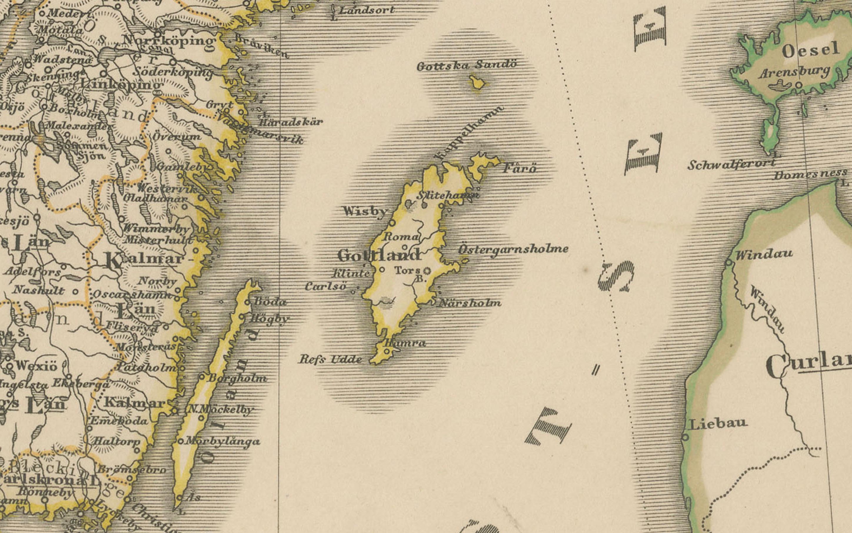
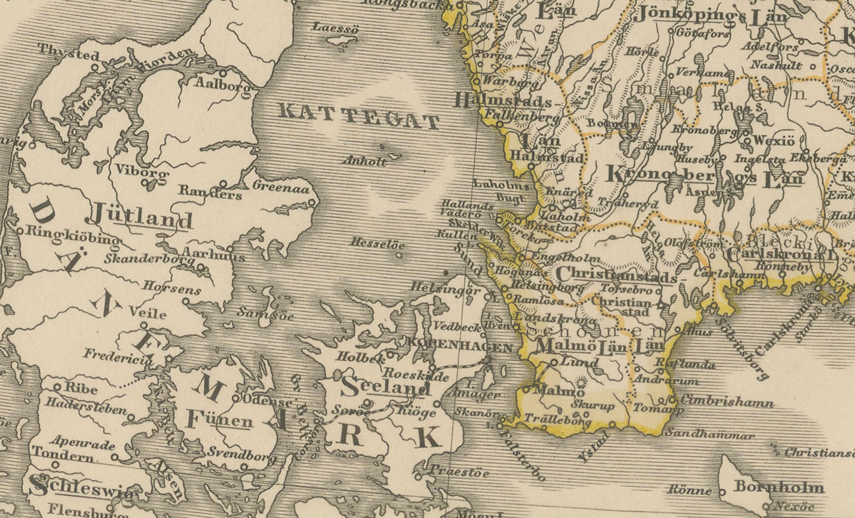
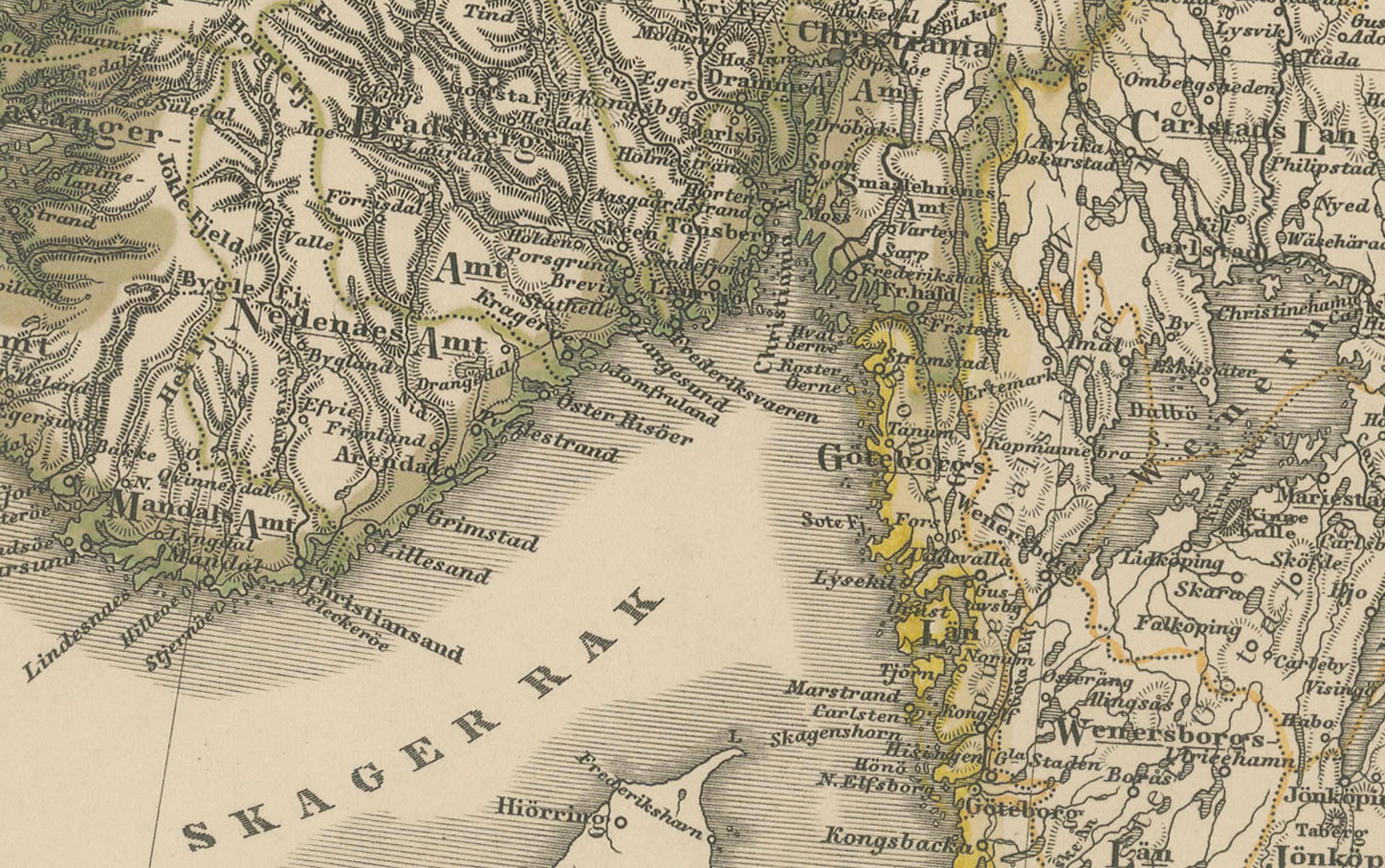
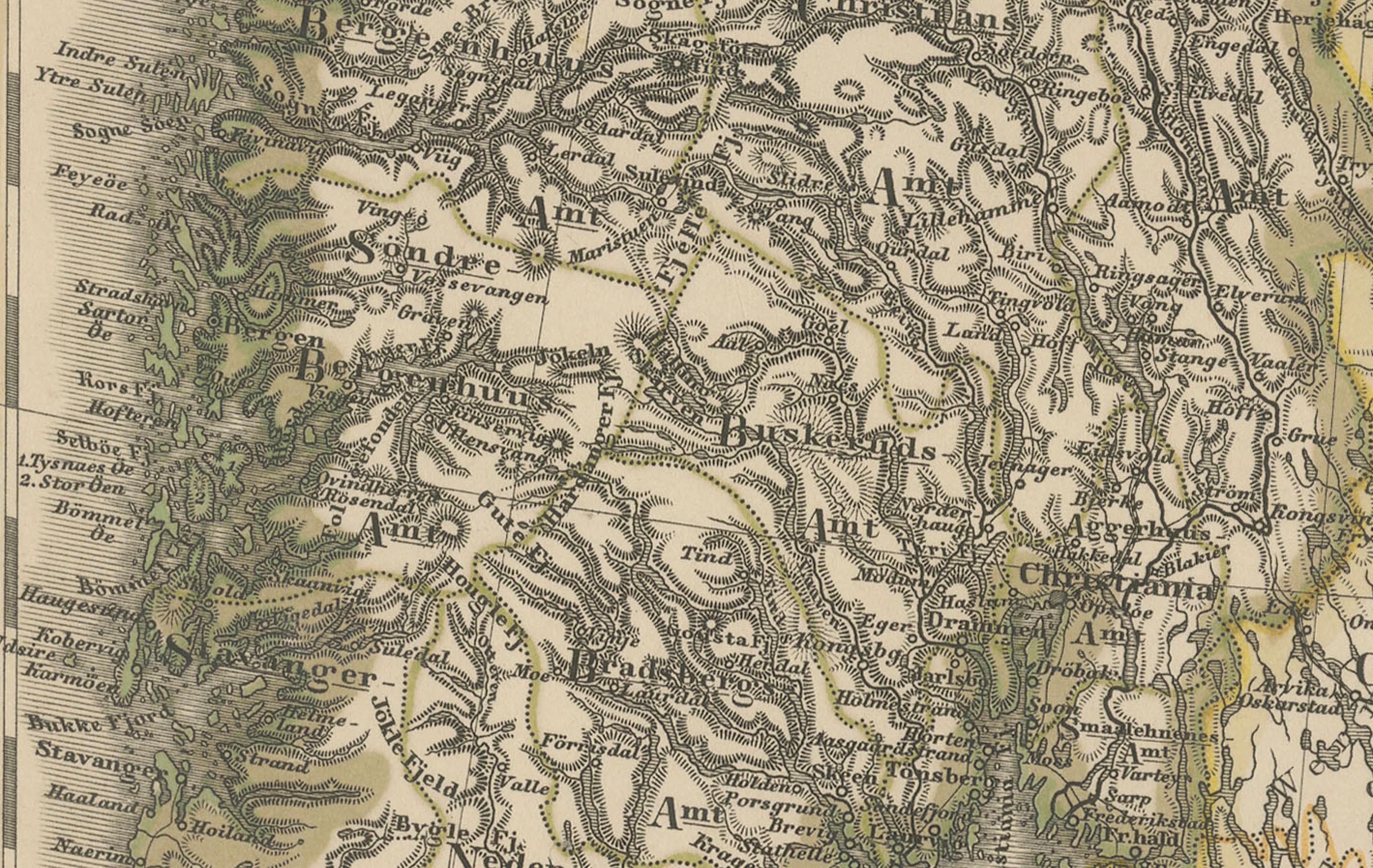
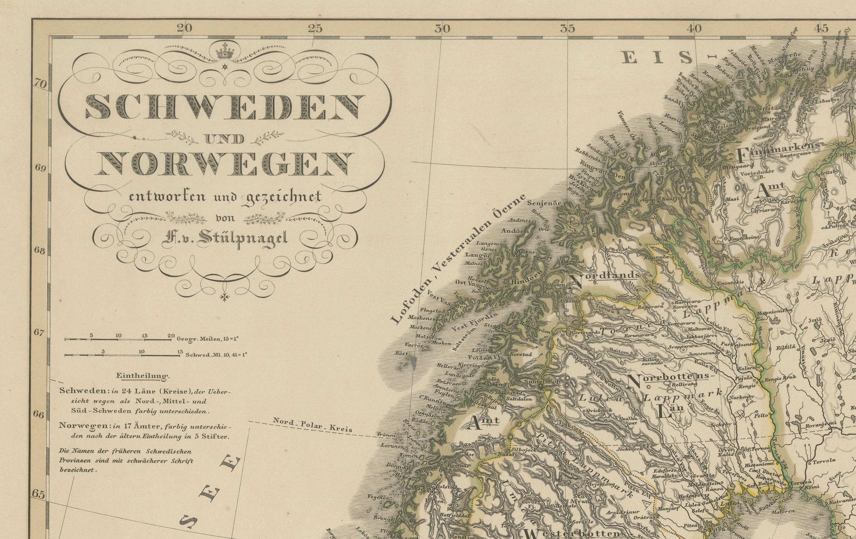
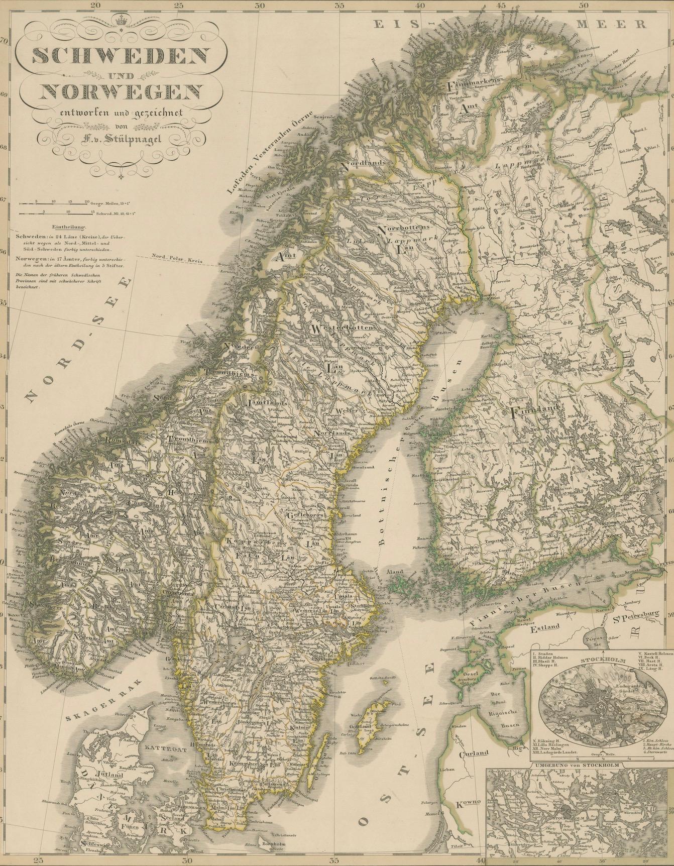
This fine antique map titled Schweden und Norwegen (Sweden and Norway) was published in 1858 by Justus Perthes of Gotha and drawn by F. v. Stülpnagel for the influential Stieler’s Hand-Atlas. It depicts the Scandinavian Peninsula in remarkable detail, from Denmark in the south to the Arctic coast and the "Eismeer" (Ice Sea) in the north.
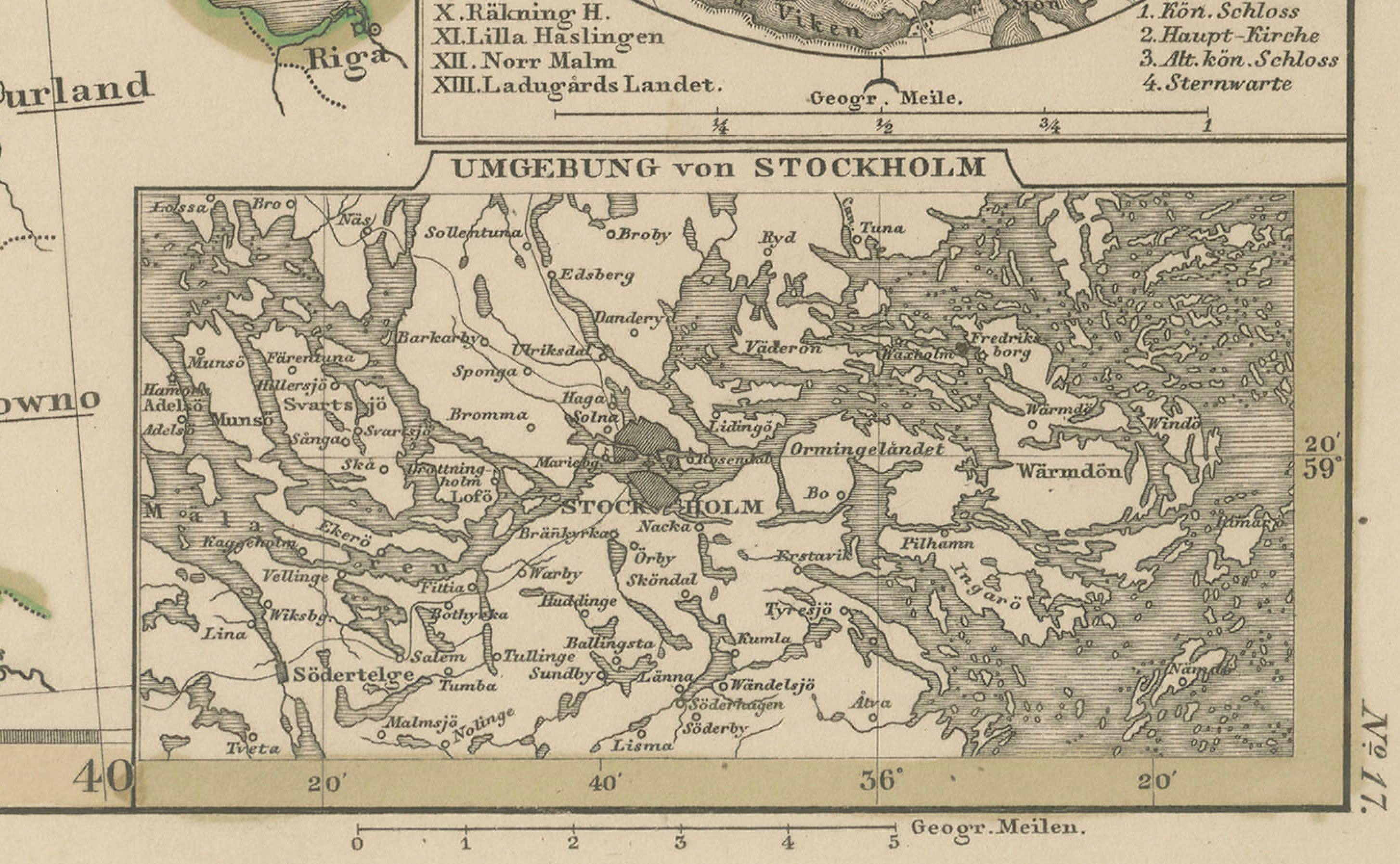
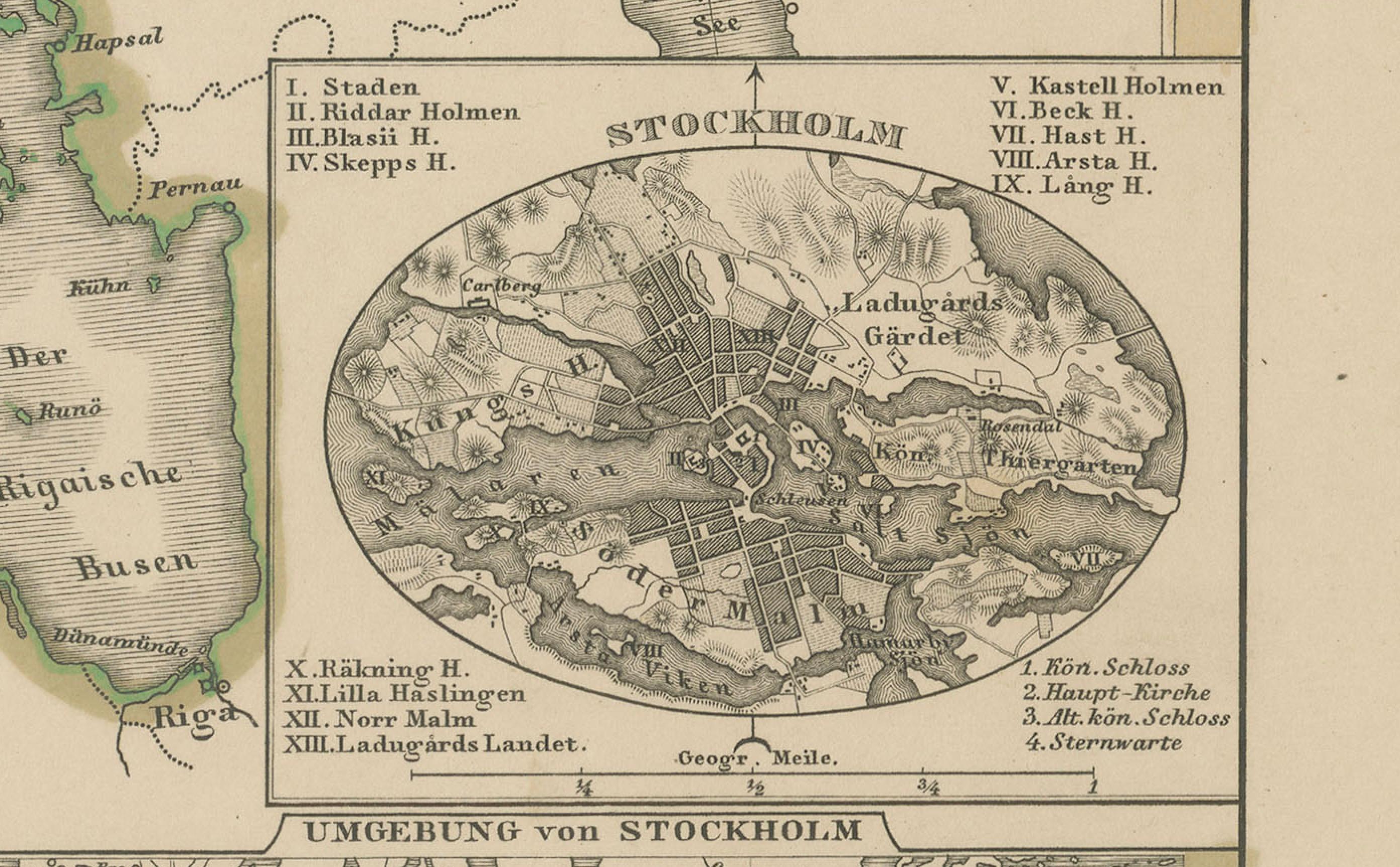
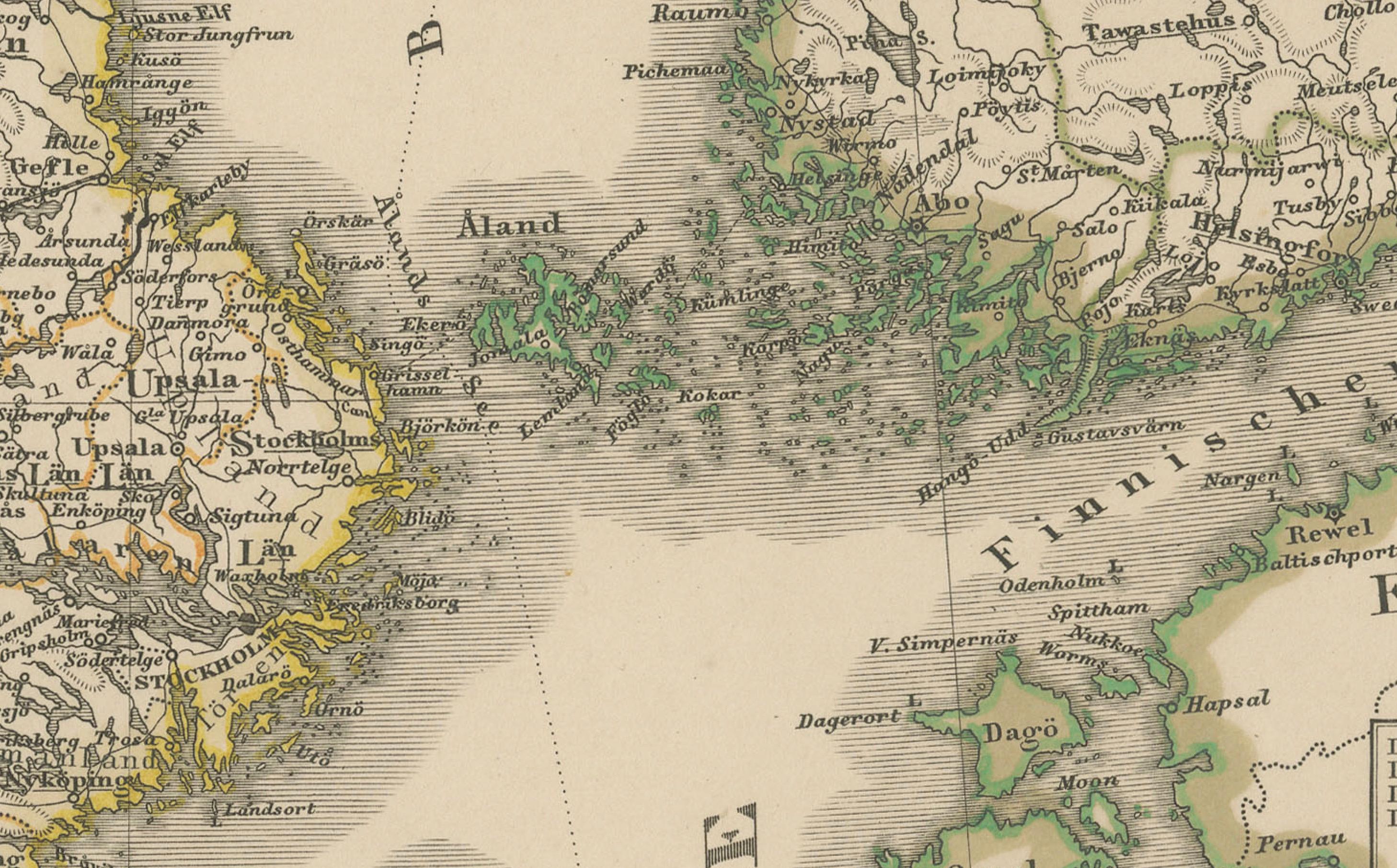
The map offers a vivid topographical rendering of Sweden and Norway’s mountainous terrain, fjords, and inland regions, with political boundaries outlined in original hand color. Norwegian coastal towns like Bergen, Trondheim, and Tromsø are clearly marked, alongside Swedish cities including Stockholm, Gothenburg, and Uppsala. The southern tip of Finland is also partially shown, with Helsinki and Åbo labelled, and an inset map details the Stockholm archipelago and surrounding region.
At the time of this map's creation, Sweden and Norway were united under a single monarch (from 1814 to 1905), and the map reflects that political arrangement. Key postal routes, railways, and ferry crossings are also indicated, demonstrating the map’s practical use as a geographic and administrative reference in the mid-19th century.
Drawn with precision and engraved on copperplate, this map is an excellent example of the cartographic craftsmanship of the Justus Perthes publishing house. The ornate title cartouche and fine engraving of terrain and coastlines make it both historically significant and visually appealing.
Condition report: Very good condition with strong plate mark, minor toning around the edges, and no tears or repairs. Paper is clean and crisp, with only minimal age-related wear.
Framing tips: Best presented in a dark walnut or Scandinavian birchwood frame with a wide ivory or light grey mat. The vertical orientation lends itself well to narrow walls or between windows. Ideal for collectors of Nordic history or decorative antique cartography.
Technique: Copperplate engraving with original hand colouring Maker: F. v. Stülpnagel, Justus Perthes, Gotha, 1858