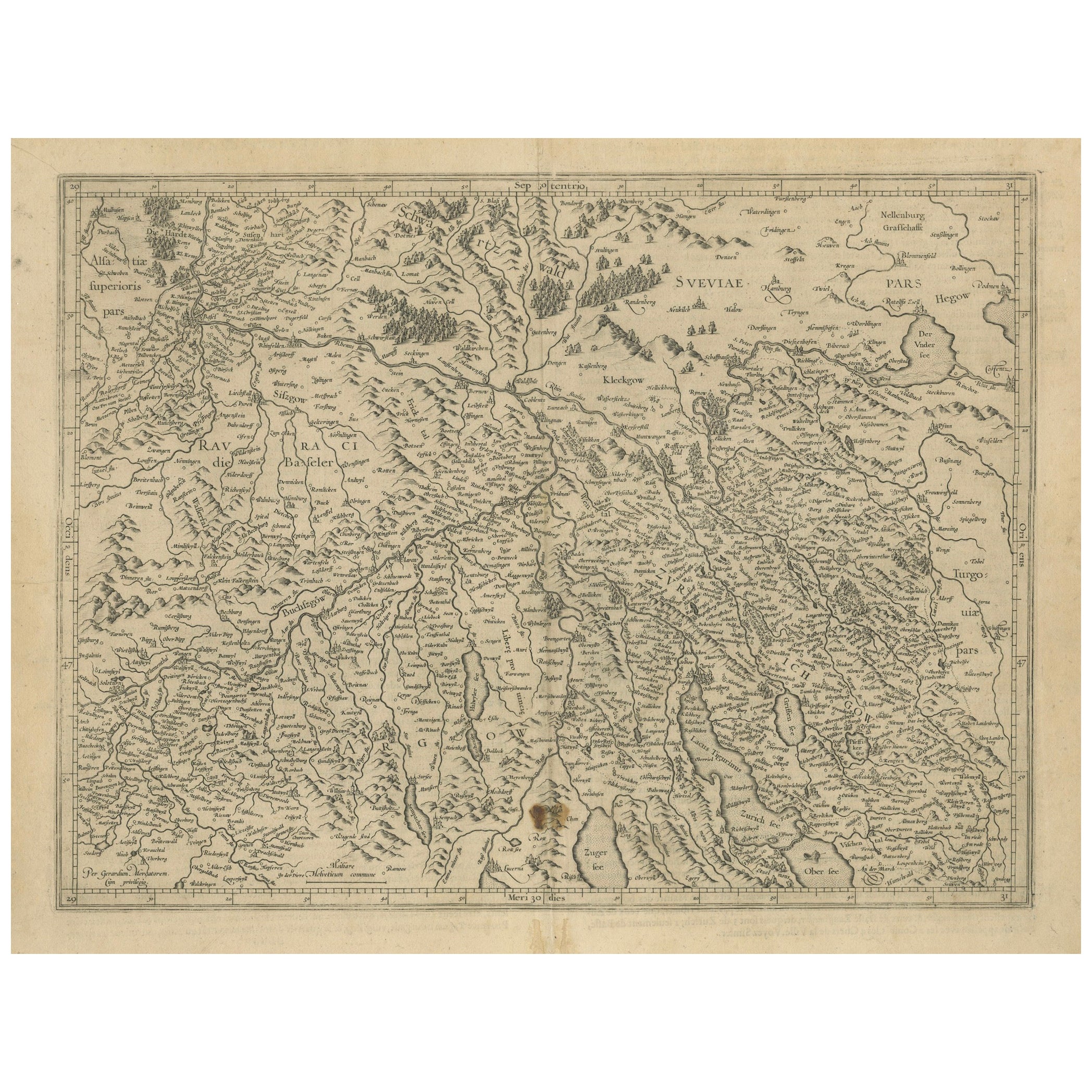
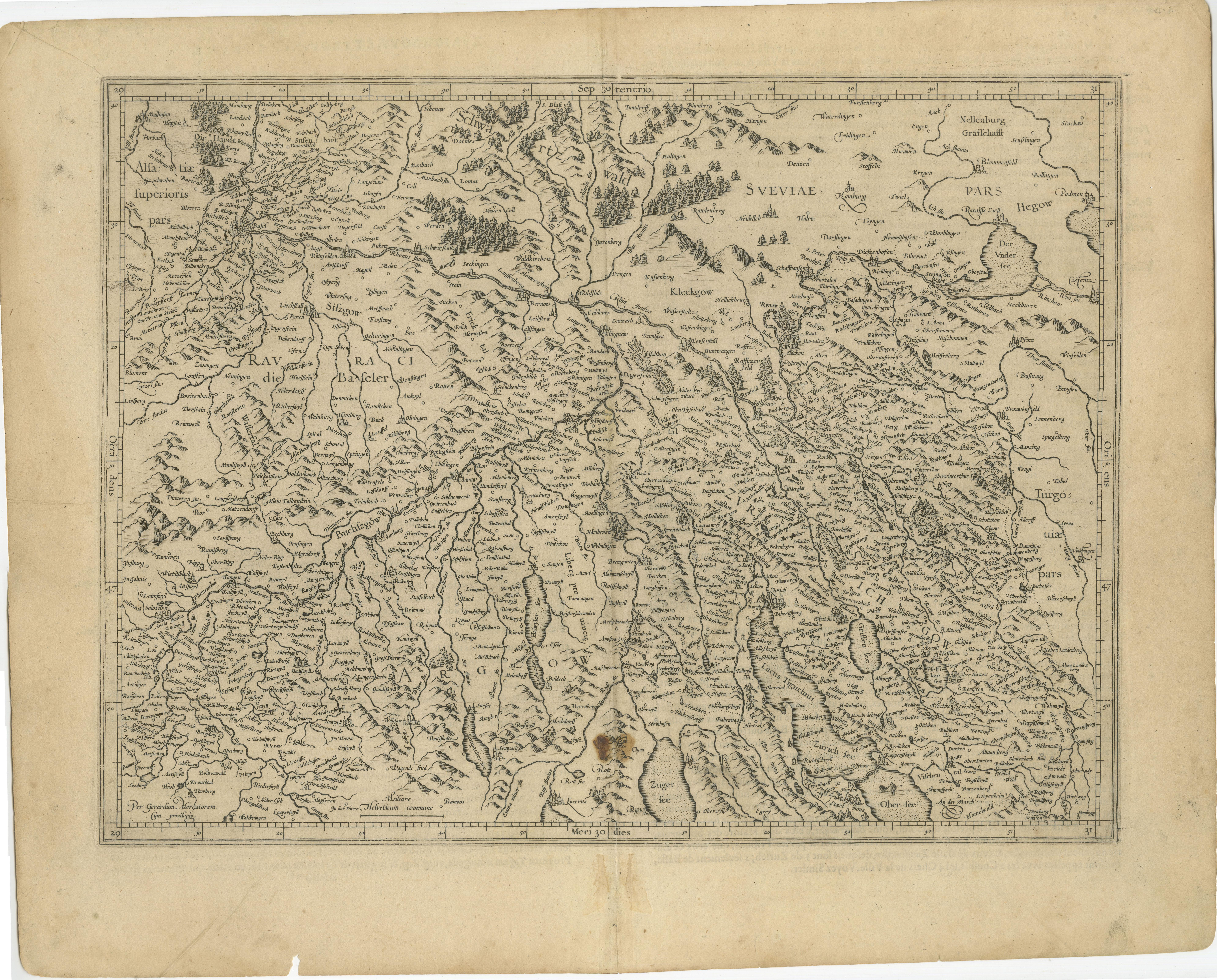
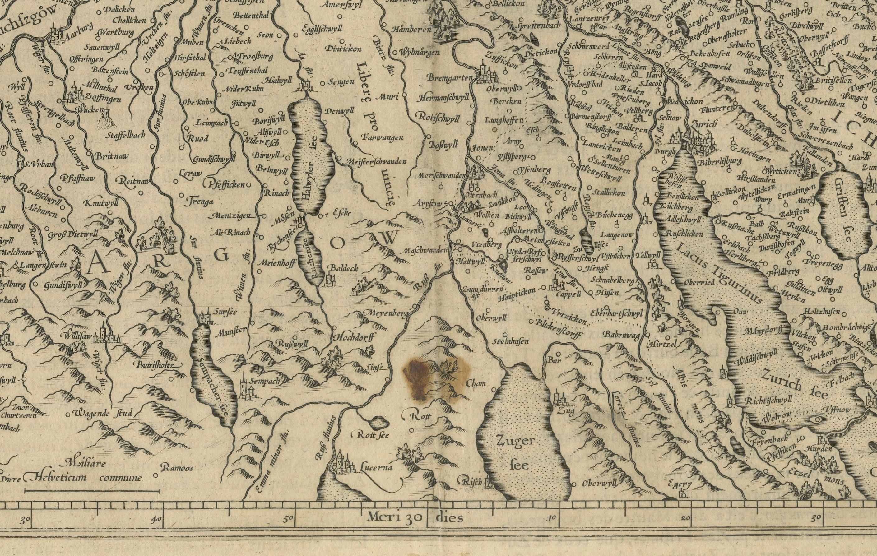
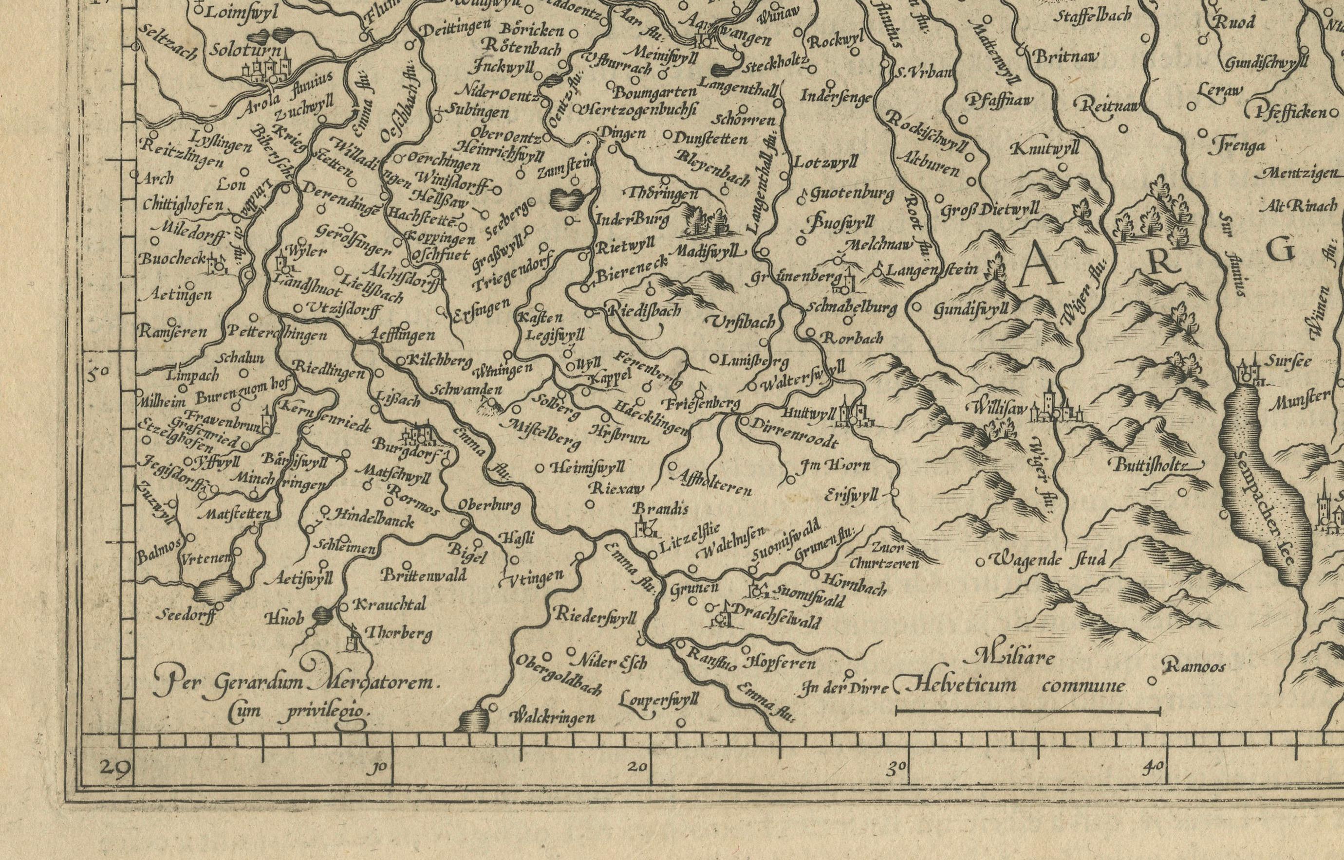
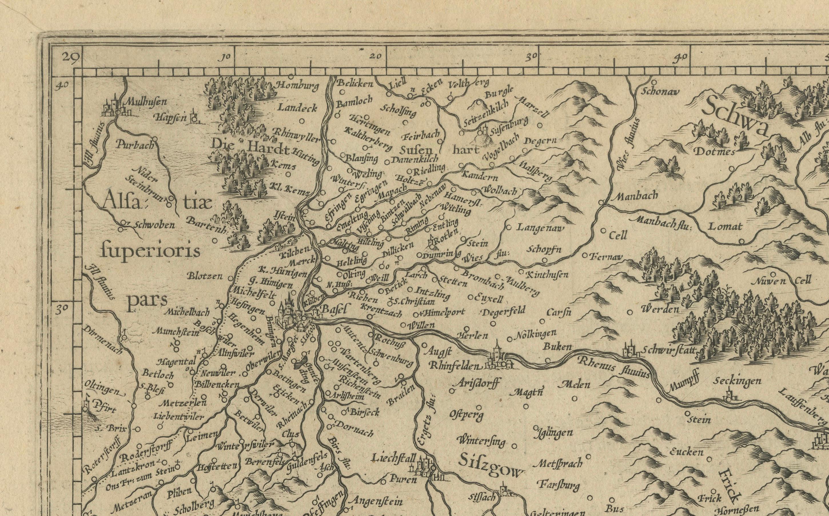
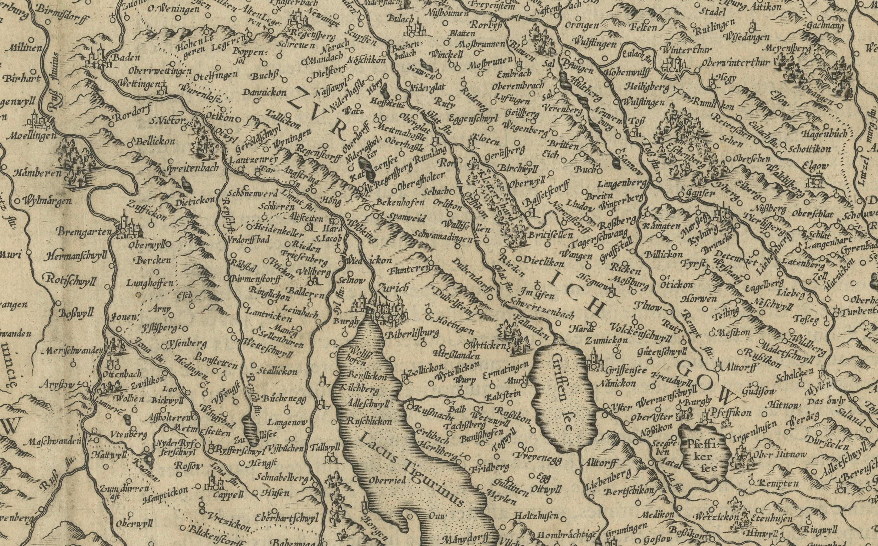
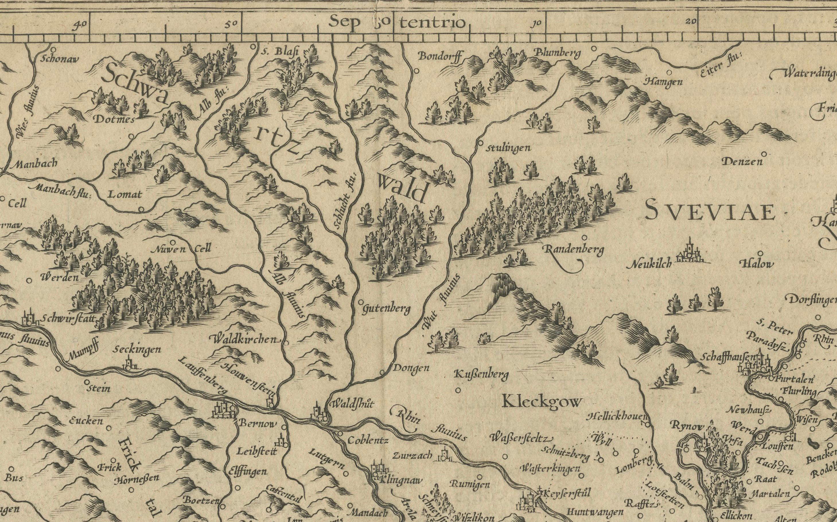
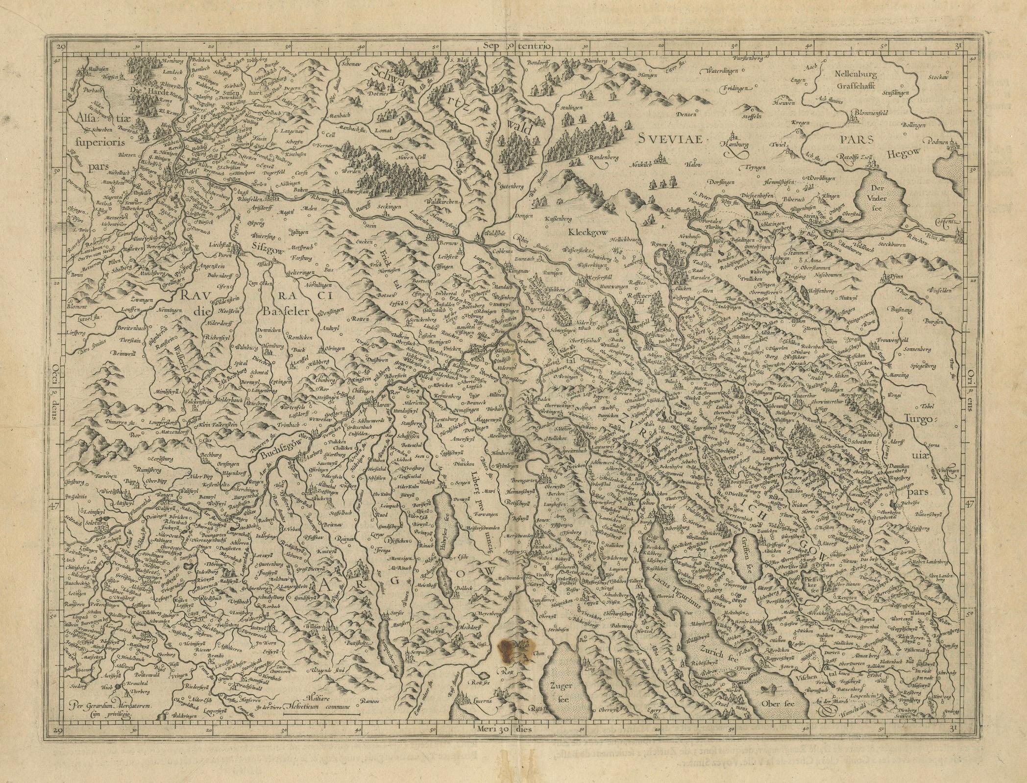
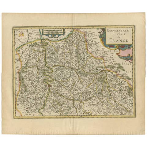
Map of Zurich and Basel Region by Mercator, Uncolored Engraving c.1600
€ 340
One of a kind: this is the sheet in the photographs. Ships from Langweer, the Netherlands.
Date
1600
Sheet size
44.5 × 55 cm (17.5 × 21.7 in)
Condition
Good
Reference
BG-13667-1
Condition
Good uncolored engraving on laid paper, with even age toning and light spotting near the upper center. Vertical centerfold as issued. Minor edge wear but no tears or repairs. One brown spot, but strong impression and paper in stable condition.
About this sheet
Map of Zurich and Basel Region by Mercator, Uncolored Engraving c.1600
This original uncolored copperplate engraving, titled *Zurichgow et Basiliensis Provincia*, was created by the renowned cartographer Gerardus Mercator and published around 1600 in Amsterdam. The map presents a beautifully detailed rendering of the Swiss regions surrounding Zurich, Basel, and Lucerne, offering a rare early cartographic view of this alpine territory during the Renaissance.
Mercator, one of the most influential figures in the history of cartography, was born in Rupelmonde, Flanders in 1512 and educated in Louvain under the esteemed astronomer and mathematician Gemma Frisius. His scholarly rigor and precise engraving style earned him the patronage of Emperor Charles V. However, his Protestant sympathies led to charges of heresy during the Catholic persecution of Lutheran reformers. After a narrow escape from serious consequences, Mercator relocated to Duisburg in 1552, where he devoted the rest of his life to mapping, scientific instruments, and the production of his famous atlas.
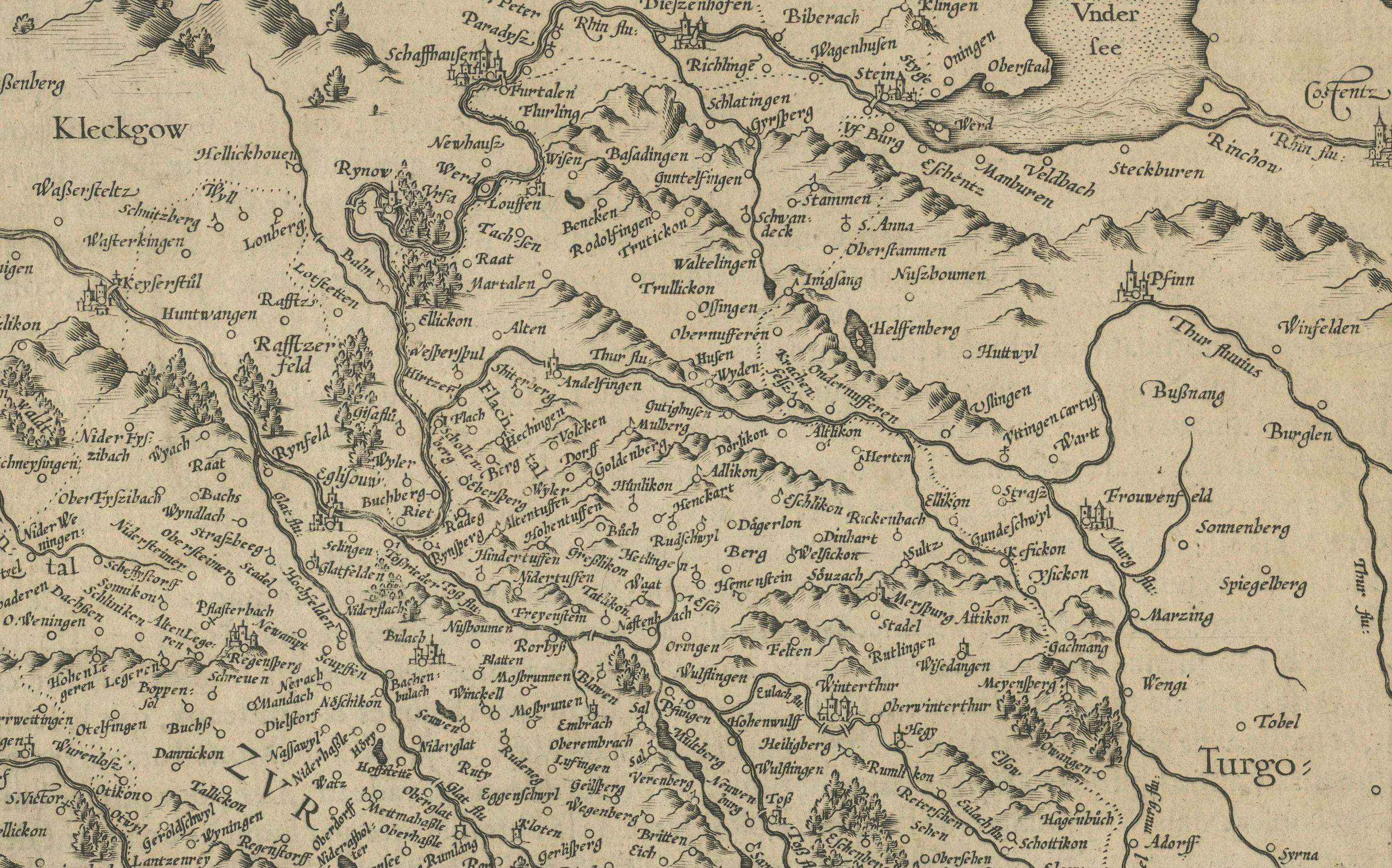
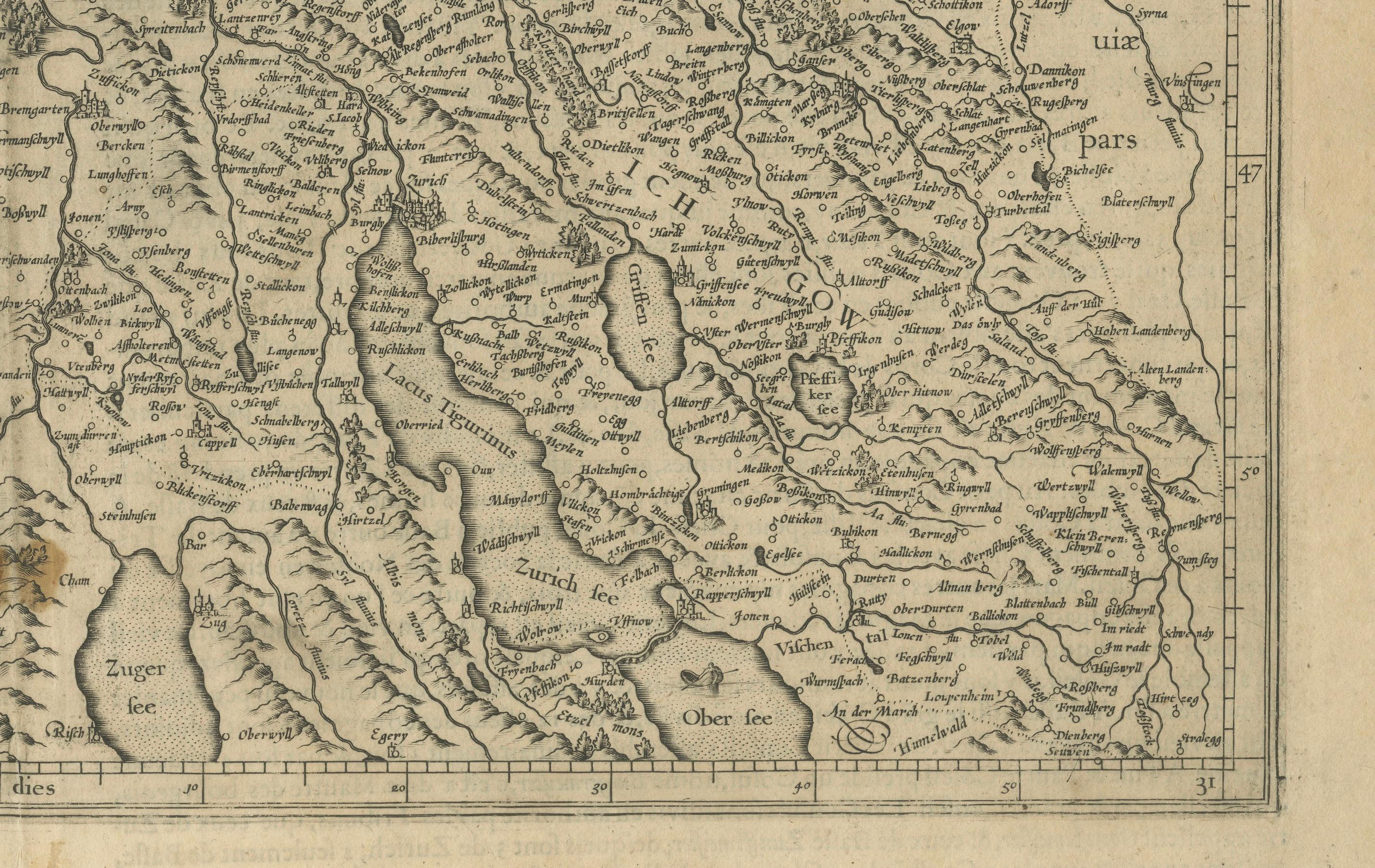
The *Zurichgow et Basiliensis Provincia* map features a rich network of rivers, forests, and mountains depicted in stylized hachures typical of late 16th-century engravings. Key cities such as Zürich, Basel, and Lucerne are prominently marked, as are numerous small towns and geographic landmarks. This map was included in later editions of Mercator's *Atlas sive Cosmographicae*, the first modern atlas. After Mercator's death, his son Rumold carried on his legacy, and in 1604, the plates were acquired by Jodocus Hondius. Hondius and his sons expanded and reissued Mercator’s work, dominating European map publishing well into the mid-17th century.
This sheet is a fine example of early Swiss regional cartography, steeped in both artistic beauty and historical importance. The absence of color allows viewers to appreciate the delicate linework and engraving techniques of Mercator’s workshop.
Condition Report: Uncolored engraving on laid paper, with even age toning and light spotting near the upper center. Vertical centerfold as issued. Minor edge wear but no tears or repairs. One brown spot, but strong impression and paper in stable condition.
Tips for Framing: Frame in dark wood or gold-leaf with a cream or ivory archival mat to match the paper’s tone and enhance the historical lines. Avoid bright colors. Museum glass is recommended to protect the antique paper from light and moisture.