About this sheet
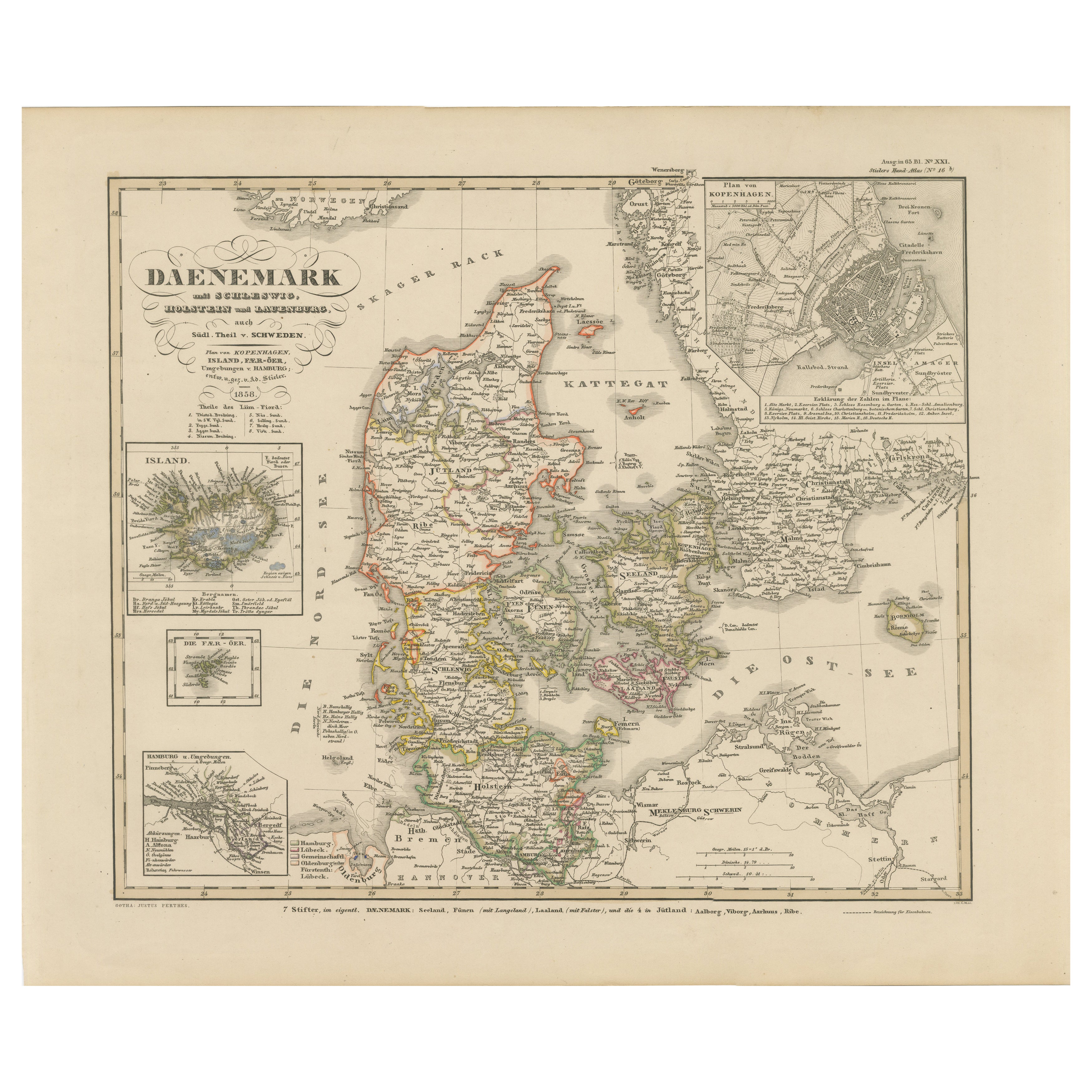
Antique Map of Denmark 1858 – Includes Iceland & Copenhagen Plan
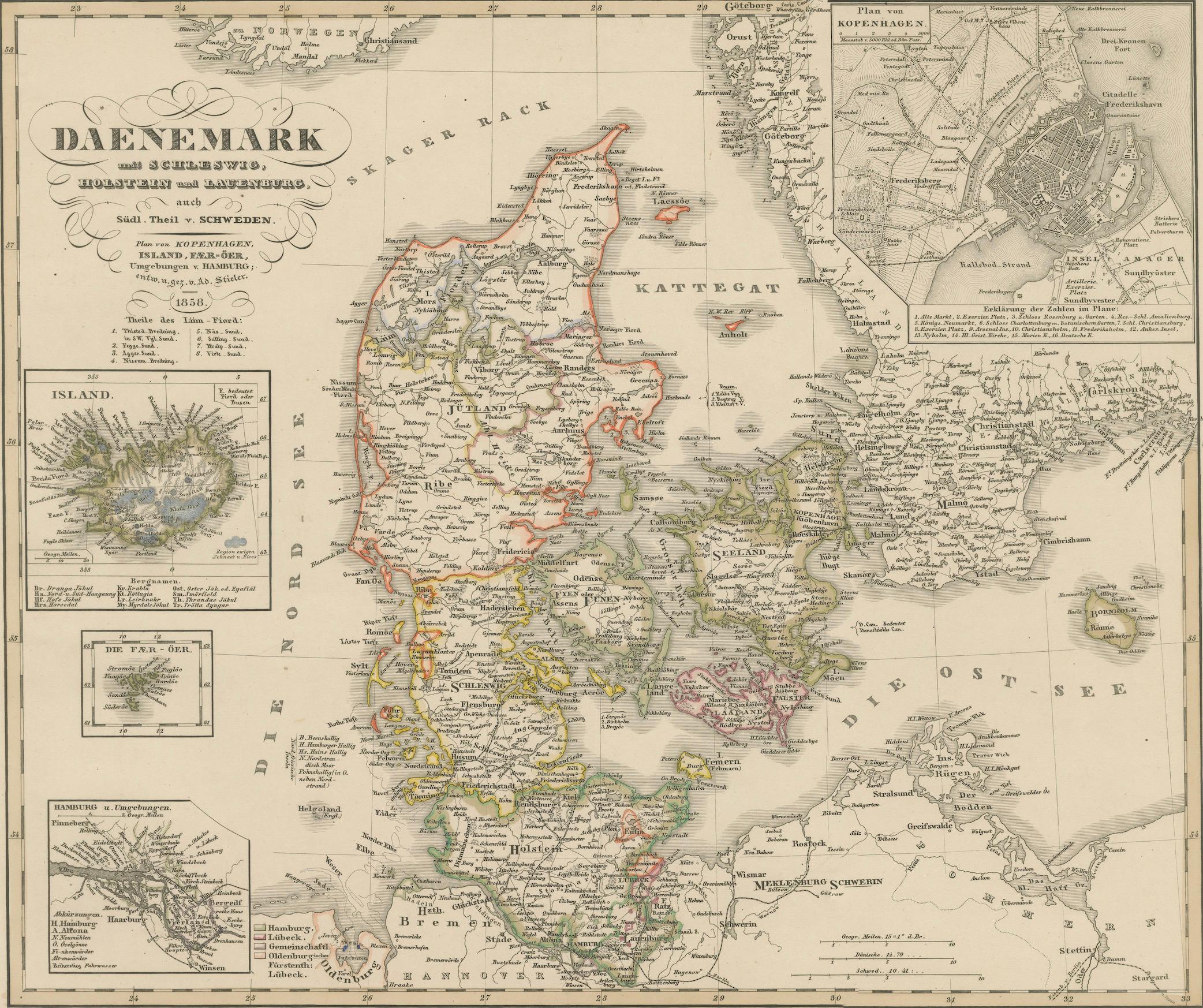
This finely detailed antique map of Denmark was published in 1858 by Justus Perthes in Gotha, as part of the renowned Stieler's Hand-Atlas. Designed and engraved by Friedrich von Stülpnagel, it offers an exceptionally precise cartographic representation of the Kingdom of Denmark in the mid-19th century, with political subdivisions clearly demarcated in original outline color.
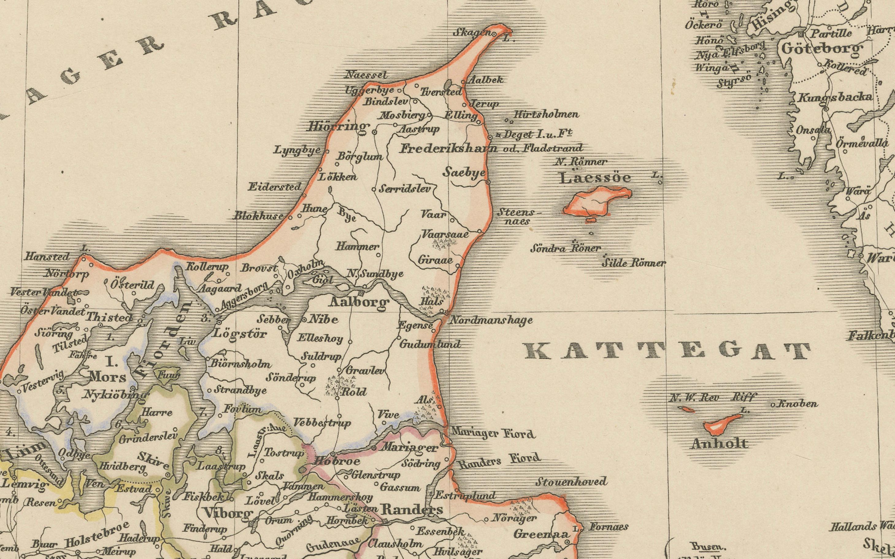
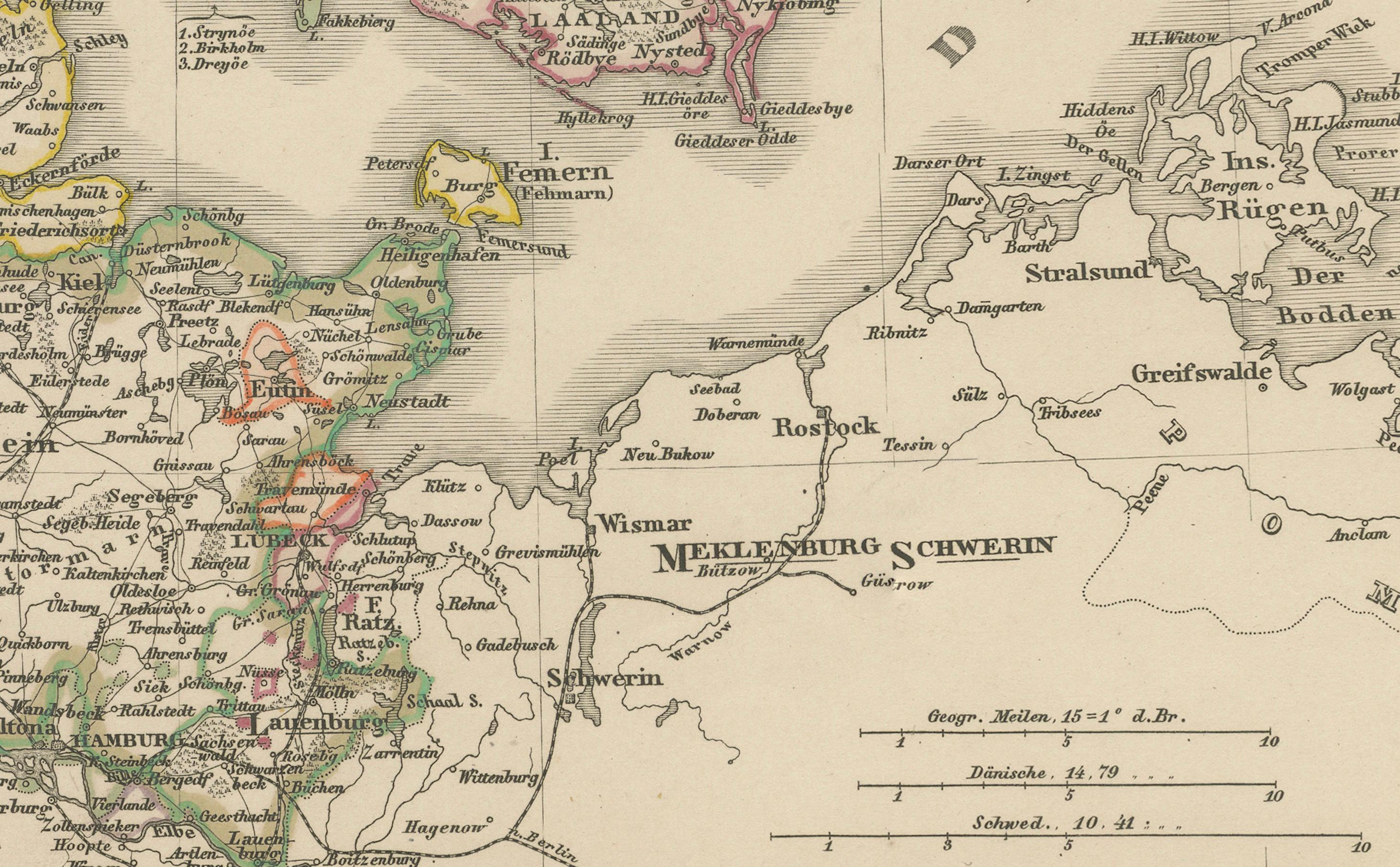
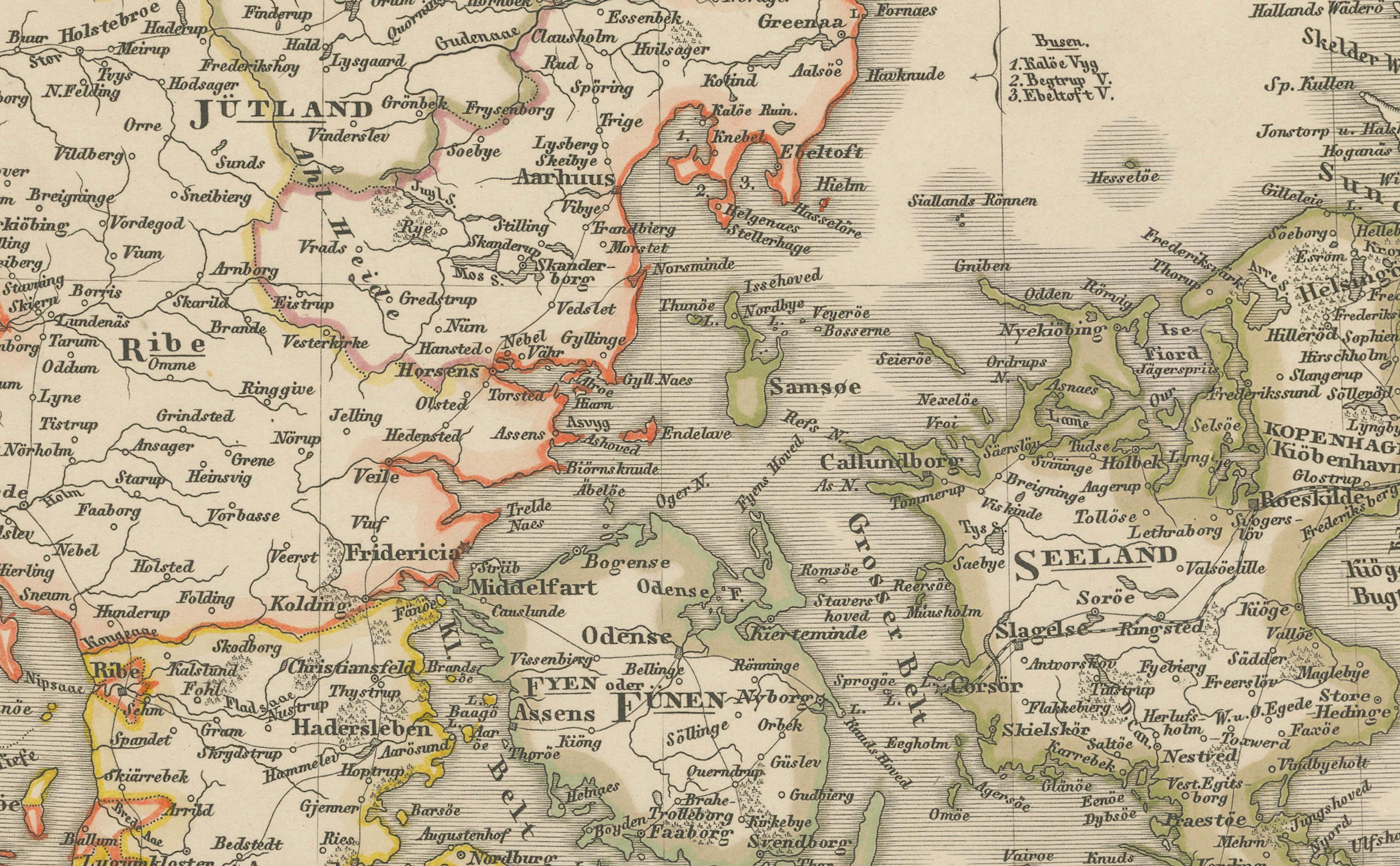
The map covers all of Jutland (Jylland), Zealand (Sjælland), Funen (Fyn), and the many surrounding islands, as well as the southern portions of what is today Sweden and northern Germany. It also includes three inset maps that greatly enhance its historical value:
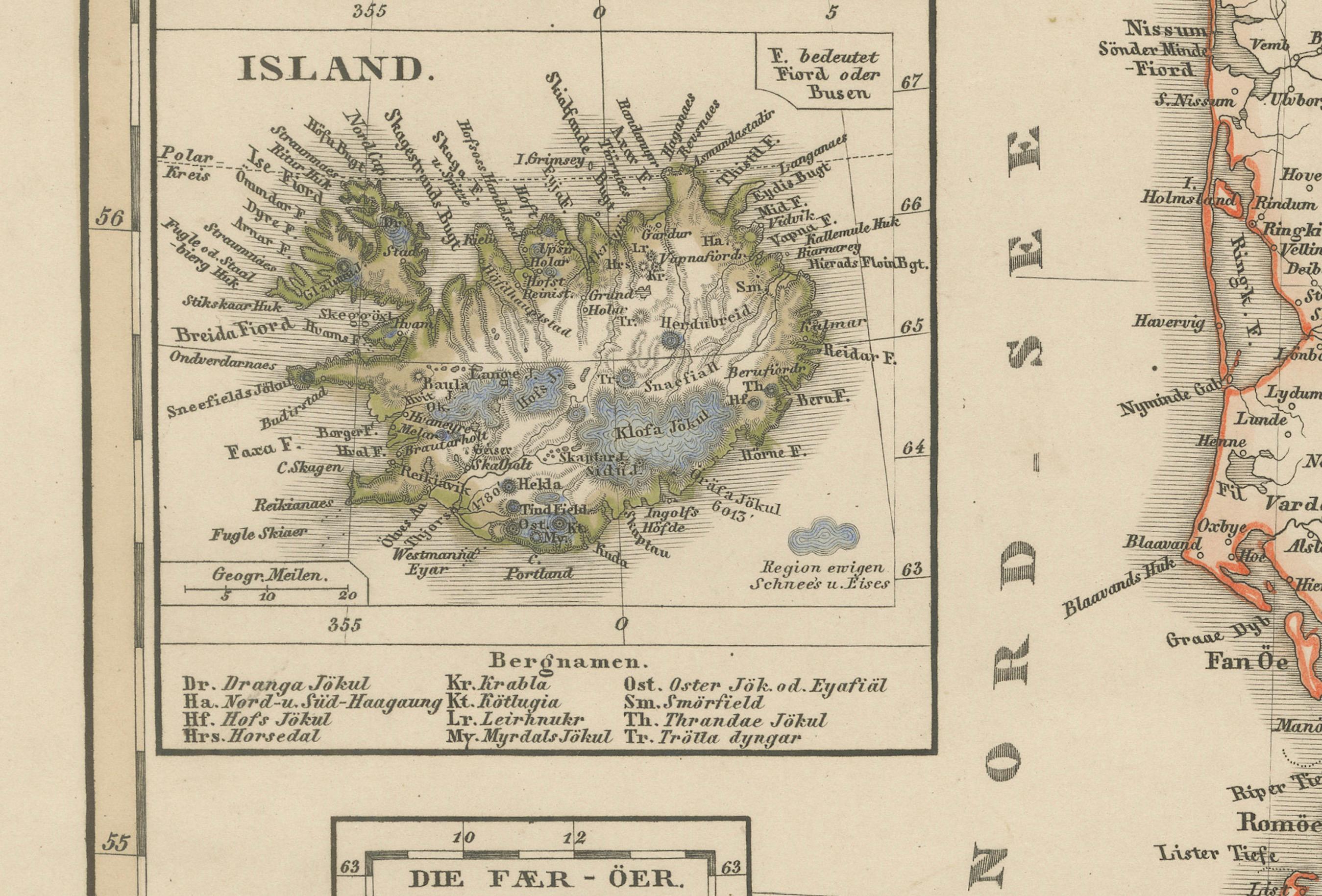
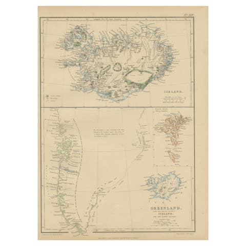
– Iceland (Island): Shown in the upper-left, labeled in German with mountain ranges and key settlements
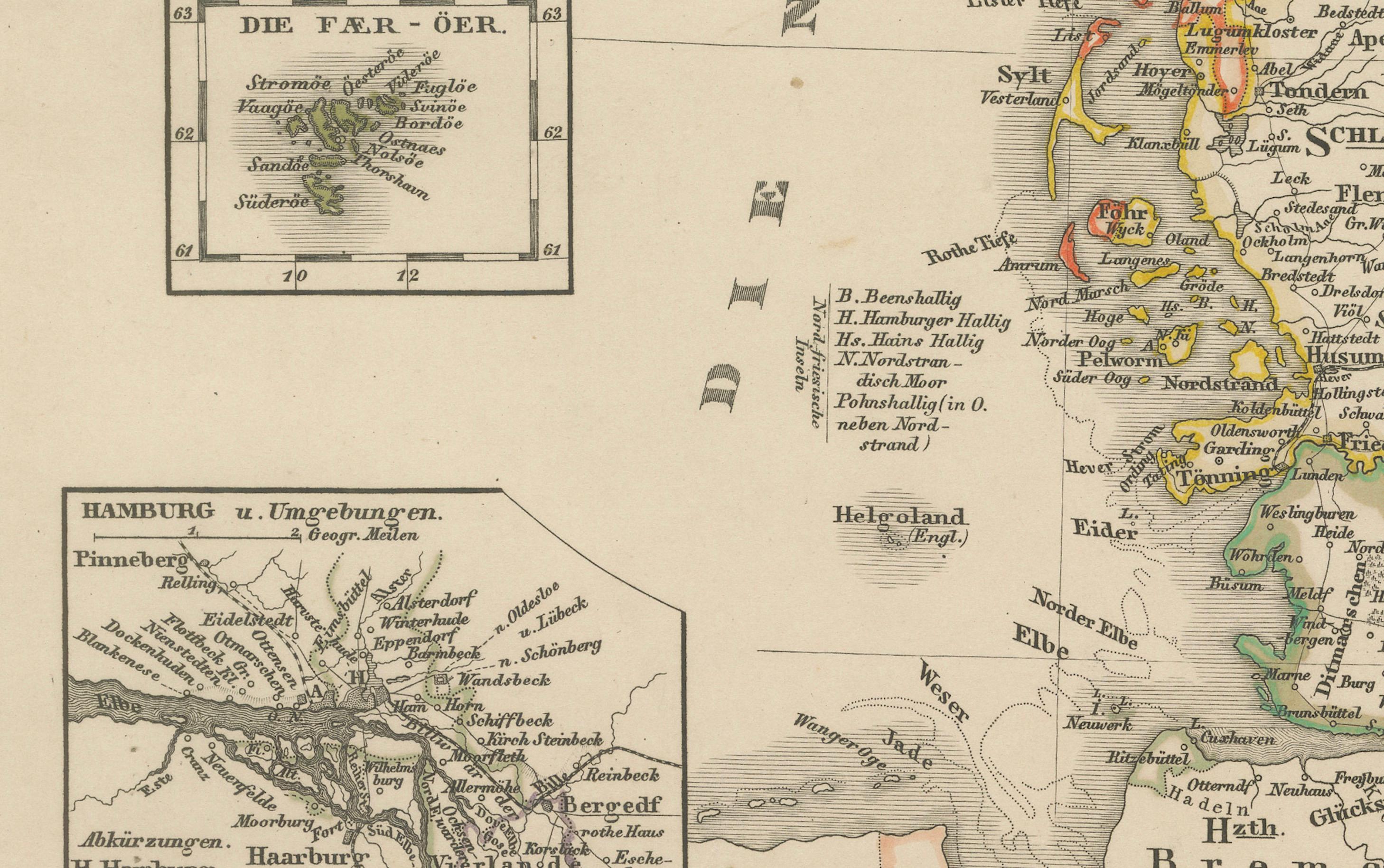
– The Faroe Islands (Fär-Öer): In the lower-left, a compact but legible depiction
– Hamburg and Environs: A city plan showing key roads and waterways
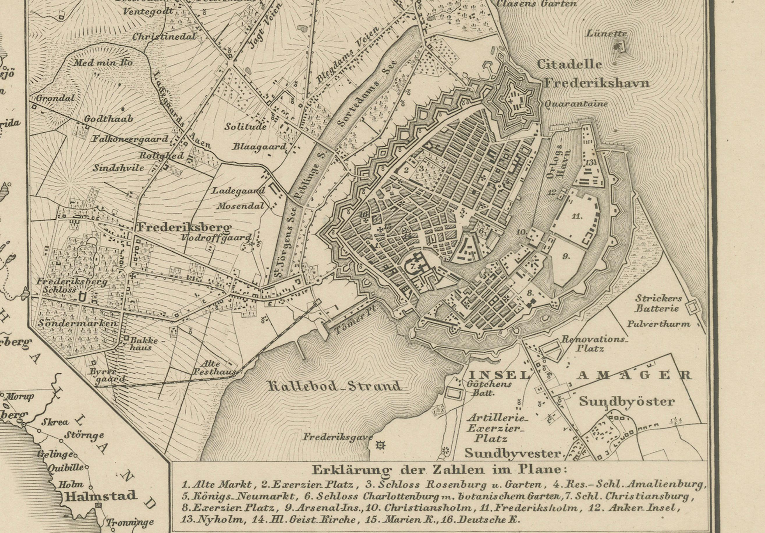
– Copenhagen (Kopenhagen): Detailed inset map in the upper right corner, showcasing the fortifications, harbors, and important buildings of the Danish capital in the mid-19th century
Place names are rendered in German and reflect contemporary political boundaries of the Danish monarchy, which at the time still retained significant influence over Schleswig and Holstein. Railways, canals, rivers, mountains, and administrative boundaries are all meticulously engraved and labeled.
Von Stülpnagel was a respected cartographer known for his clarity and geographic precision, and his work on the Stieler Atlas remains a standard in 19th-century German cartographic excellence. The typography and engraving quality in this map are exceptionally crisp, and the hand-applied coloring adds a decorative quality to the piece.
Ideal for collectors of Scandinavian history, antique maps of Europe, or anyone interested in the political geography of Denmark prior to the major shifts of the late 19th century.
Condition report:
Good condition. Light overall age toning to paper; faint foxing in margins. Original centerfold as issued. Narrow margin along the left edge, not affecting printed area. Plate imprint visible. Colors remain fresh.
Framing tips:
A dark wood or ebonized frame with a cream or pale beige mat will enhance the historical quality of this map. For a Scandinavian minimalist look, consider a light oak frame with an off-white mat.
Technique: Engraving with original hand coloring
Maker: F. von Stülpnagel, Gotha, Justus Perthes, 1858