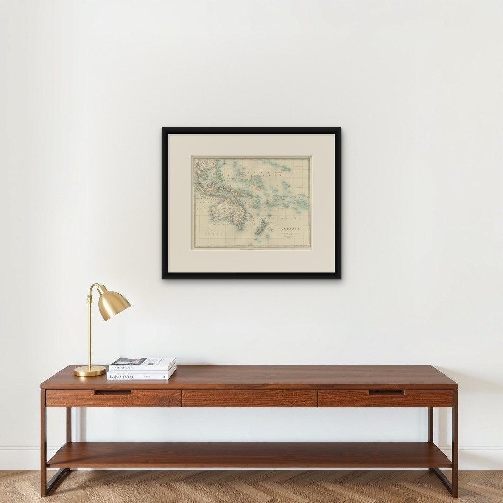
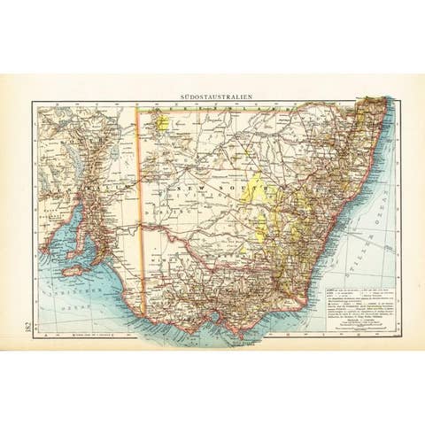
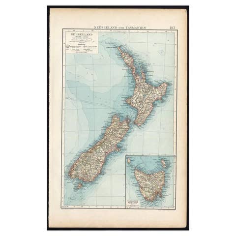
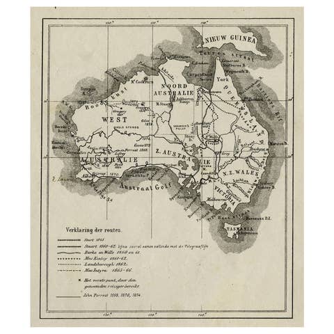
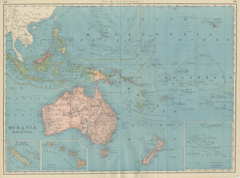
Antique Map of Oceania, 1903, Featuring the Pacific Islands and Australasia
€ 340
Original antique · The actual sheet photographed · Certificate of authenticity on request · Sold unframed · Worldwide shipping from € 15 (rates)
Date
1903
Sheet size
36.8 × 47 cm (14.5 × 18.5 in)
Condition
Good
Reference
BG-13577-31
What the condition grades mean
Excellent
Bright and clean, with no faults worth mentioning.
Very good
Only light signs of age, such as faint toning.
Good
Normal signs of age for a sheet of this period: toning, some foxing, small marks or neat old repairs.
Fair
Clear faults such as staining, tears or repairs, priced to match.
Every fault we see is written in the condition note, and the whole sheet is shown uncropped in the photos.
Condition
This map is in very good antique condition, with minor foxing and gentle edge toning typical for its age. The colors remain vibrant and the paper is stable and well-preserved. Folding line as issued.
About this sheet
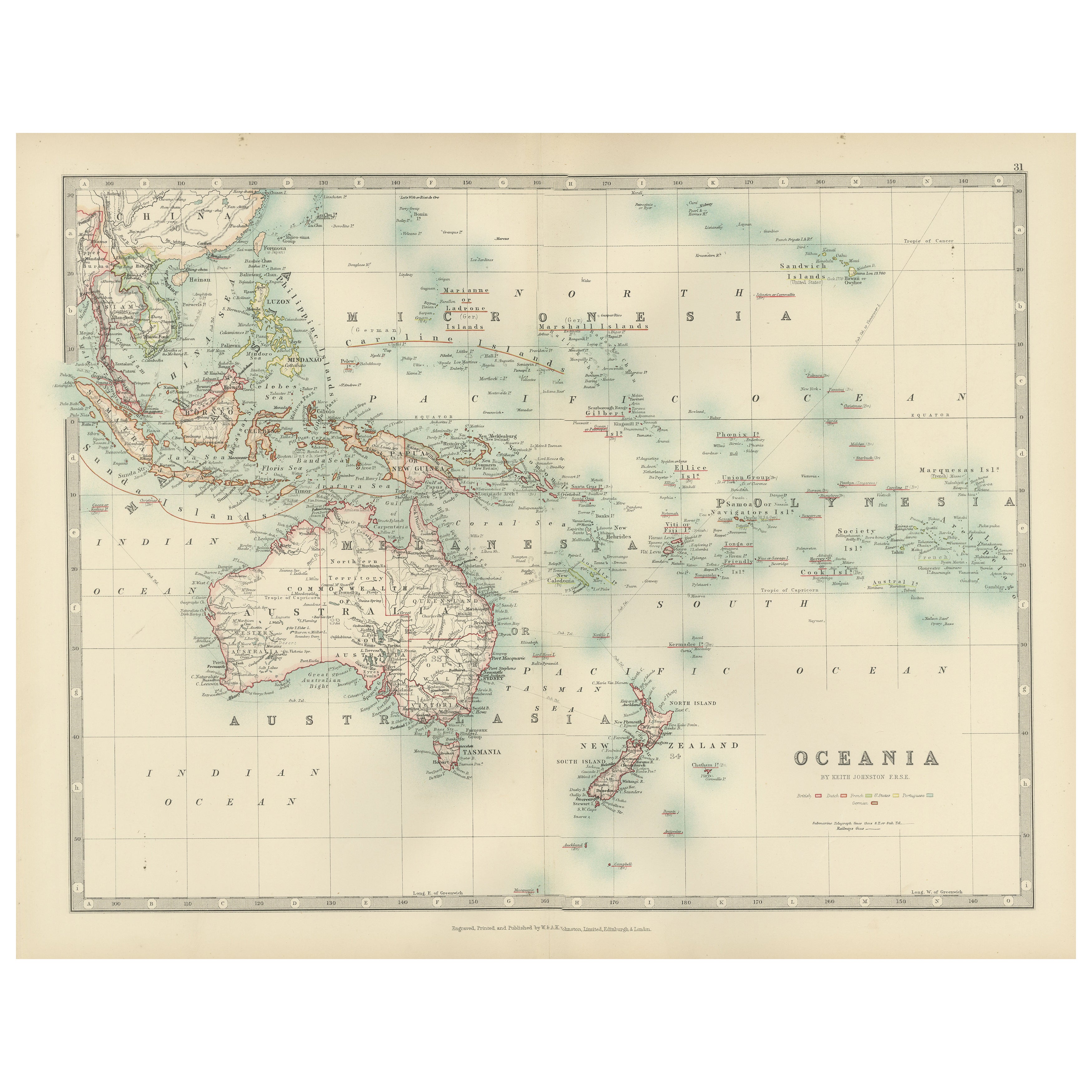
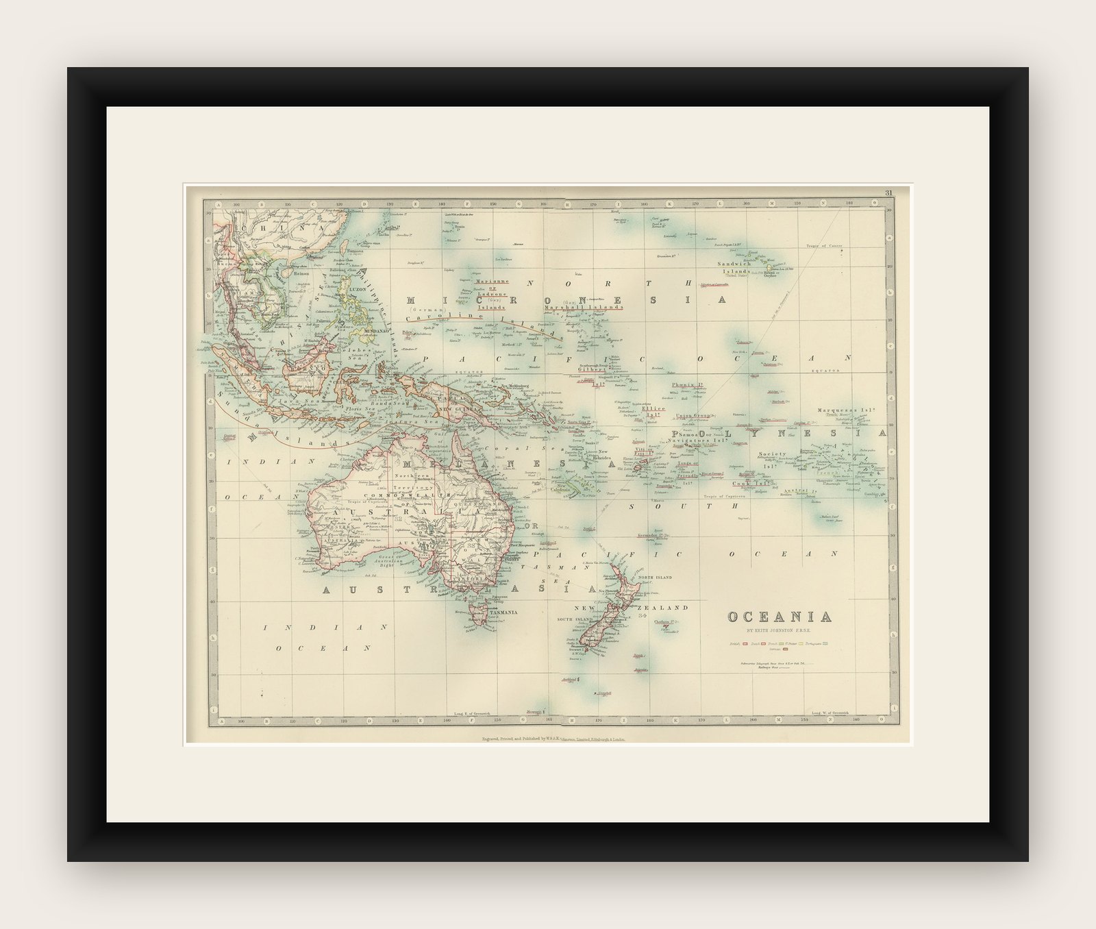
This antique map, titled "Oceania," was engraved and published in 1903 by W. & A.K. Johnston in Edinburgh and London. It provides a comprehensive and visually captivating depiction of the vast and culturally diverse region that includes the islands of the Pacific Ocean, as well as Australia and New Zealand.
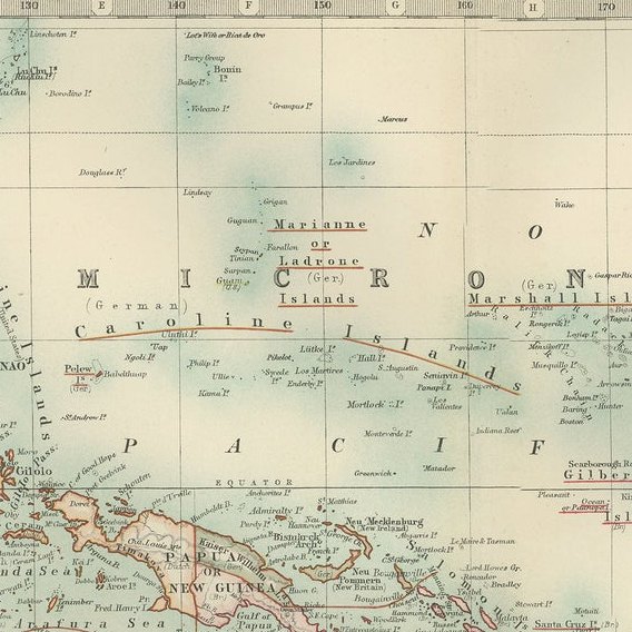
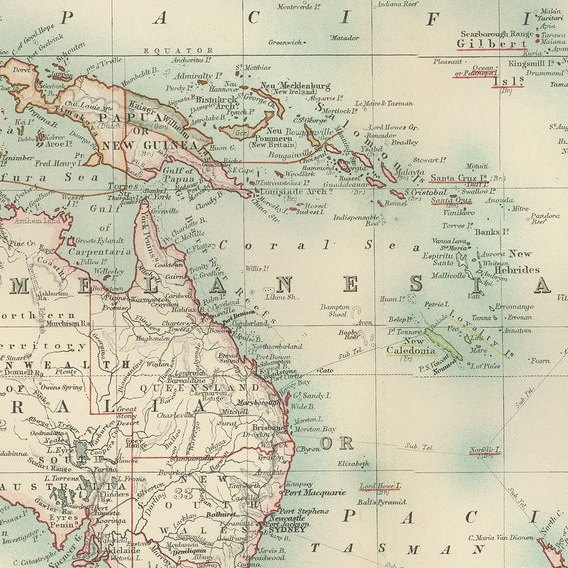
Hand-colored in soft pastel shades, the map highlights the political and geographical boundaries of the region at the turn of the 20th century. The major landmasses of Australia, New Zealand, and the Indonesian archipelago are rendered with careful detail, while the islands of Micronesia, Melanesia, and Polynesia—scattered across the Pacific—are marked with precision and clarity.
This map captures not just the geography, but also the maritime networks and colonial ambitions that defined the region at the dawn of the modern era. Trade routes, ocean currents, and key ports are included, emphasizing the interconnectedness of these far-flung lands with the broader world.
For collectors, historians, and those with a passion for the history of exploration and the rich cultures of the Pacific, this map is a window into a time when distant islands and ancient cultures were coming into closer contact with the rest of the globe. The refined engraving and soft colors of the map also make it a striking decorative piece.
Condition report: This map is in very good antique condition, with minor foxing and gentle edge toning typical for its age. The colors remain vibrant and the paper is stable and well-preserved.
Framing tips: A classic dark wood frame in walnut or cherry will enhance the pastel colors and maritime elegance of the map. Use a cream or off-white matting to highlight the intricate linework and create a sophisticated, timeless focal point in any home, study, or library.