maps-prints.com
✦
Black Friday Sale
Friday 20 to Monday 30 November: up to 30% off original antique maps and prints
The terms
- Up to 30% off selected original antique maps and prints. Every piece is an original, printed in its own time; none is a reproduction.
- The sale runs from Friday 20 November to Monday 30 November. Sale prices shown here apply from Friday 20 November; until then pieces are sold at their regular price.
- Free FedEx shipping on qualifying orders placed on our own websites: USA, Canada, UK and Europe over $500 / €450; rest of the world over $750 / €675. Smaller orders pay our normal shipping rate.
- Orders placed from 15 to 30 November ship from 1 December, in time for Christmas. Our shipping partner is InXpress.
- Each piece is unique, so the sale is while stock lasts.
Collection:AllAmericanSea chartsMilitaryNatural historyFashionArchitectureBotanicalSacredEast Indies
Sale prices apply from Friday 20 November. Save the pieces you like with the heart and come back on Friday.
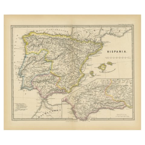 Ancient Iberia: Hispania Map from Spruner-Menke Atlas Antiquus, 1880
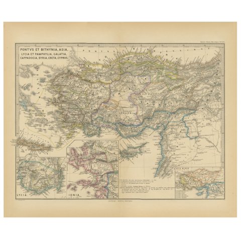 Asia Minor and Provinces: A Roman Empire Map from Spruner-Menke Atlas, 1880
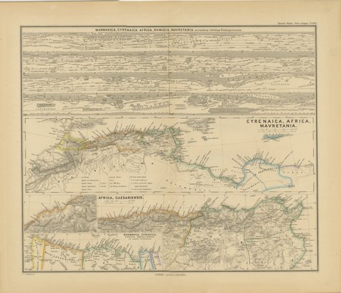 North African Coasts: Marmarica to Mauretania in Roman Times, Published in 1880
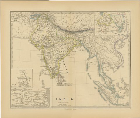 Ancient Cartography of the Indian Subcontinent, Published in 1880
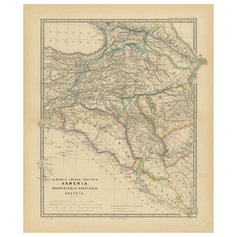 Ancient Crossroads: Albania to Assyria in Antiquity, Published in 1880
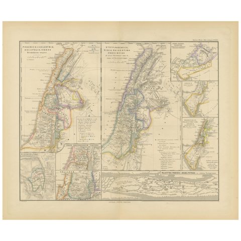 Levant in Antiquity: Lands of Phoenicia, Judea, and Neighboring Kingdoms, 1880
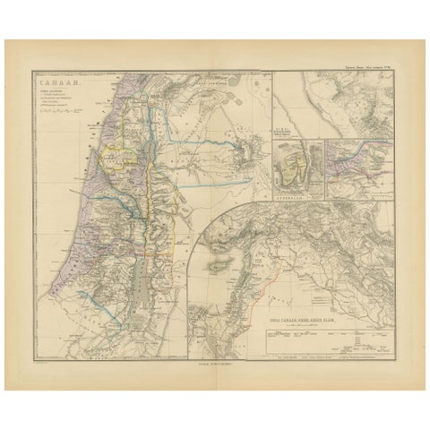 Historical Map of Canaan with Insets of Jerusalem and Surrounding Regions, 1880
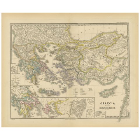 Original Map of Greece at the Time of the Dorian Migration, Published in 1880
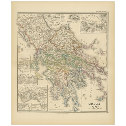 Original Antique Map of Greece and Epirus after the Persian Wars, Published 1880
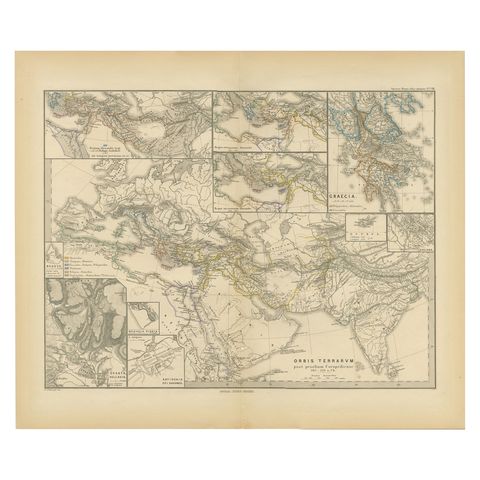 The World After the Battle of Corupedium: Hellenistic Kingdoms Map, 1880
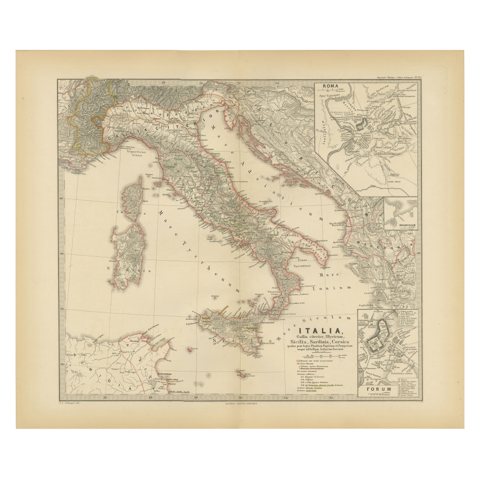 Map of The Italian Peninsula with the islands of Sicily, Sardinia, Corsica, 1880
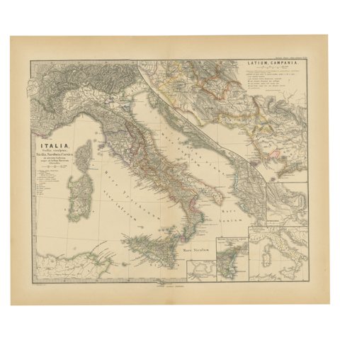 Roman Italy and Provinces: A Cartographic Snapshot, 1880
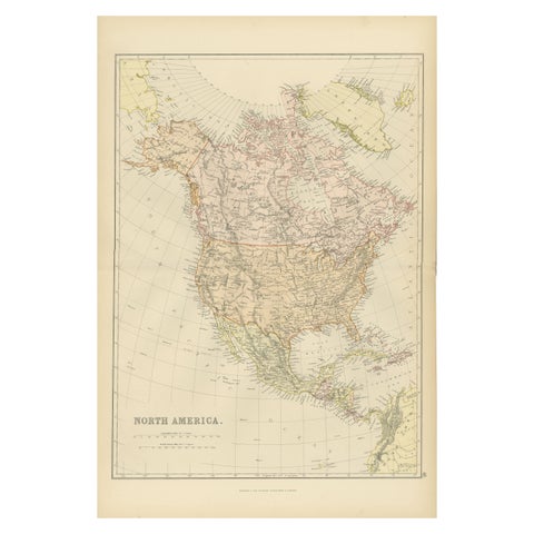 Antique Map of North America by Blackie & Son, Colored, 1882
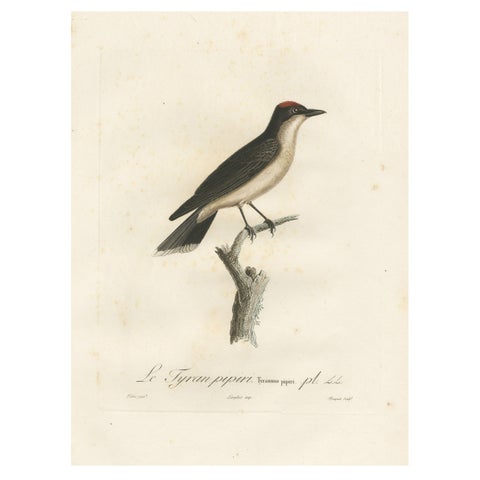 1807 Vermilion Flycatcher Handcolored Print- Antique Ornithological Illustration
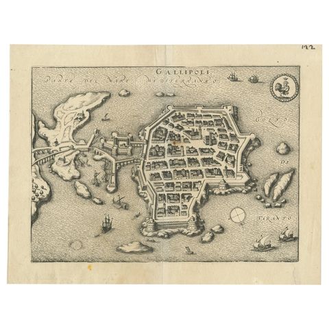 Bird’s-Eye View Map of Gallipoli: Fortified Ionian Gem by Mattheus Merian, 1688
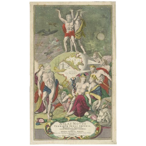 Frontispiece of Homann's Atlas Novus, Hand-Coloured Engraving, Published in 1720
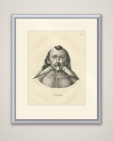 Portrait of a Member of the Maxuruna Amazon Tribe by Karl Joseph Brodtmann, 1836
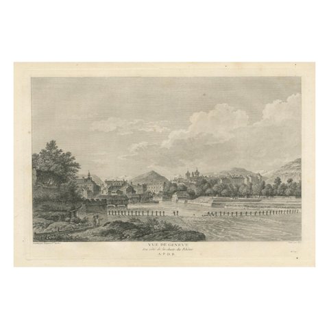 Engraved View of Geneva from the Rhône River, Published in 1780
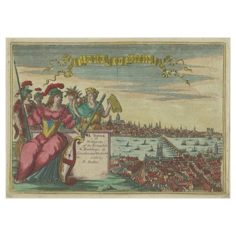 Title-Page to a Book of Prospects of London, Published by R. Butter (1785-1799)
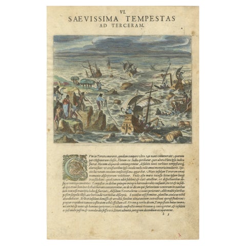 The Fury of the Azores: Shipwreck Disaster at Terceira, Engraved in circa 1610
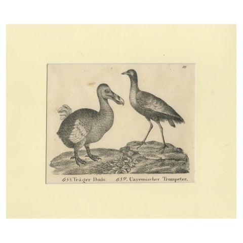 Antique Print of The Extinct Dodo and the Trumpeter Bird, 18th Century
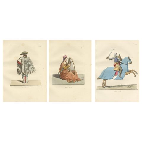 Noble Grace and Martial Power: Italian Aristocrats & French Knight - 1845 Print
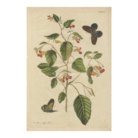 Exotic Wildflower with Butterflies – Rare Botanical Engraving by Meerburgh, 1775
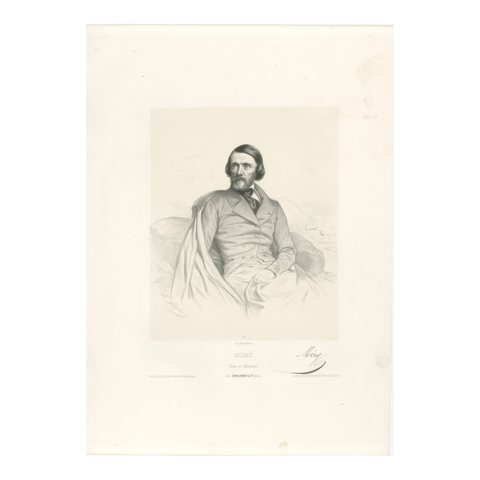 Portrait of Joseph Méry – French Poet and Publicist, 19th Century Lithograph
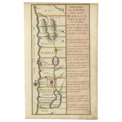 Hand-Colored Dutch Map of Ancient Israel Divided by the Twelve Tribes – c.1730
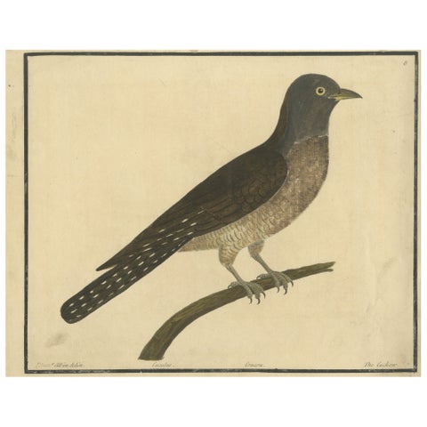 Antique Hand-Colored Engraving of The Cuckoo by Eleazar Albin, circa 1730
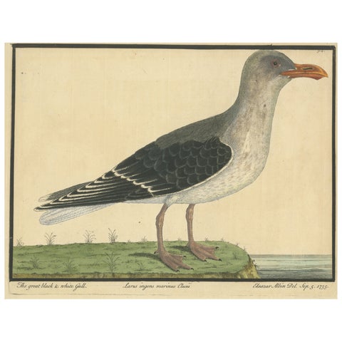 Antique Hand-Colored Engraving of The Great Black and White Gull by Albin, 1735
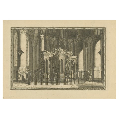 Tomb of William the Silent – Nieuwe Kerk Delft – Dutch Engraving, circa 1750
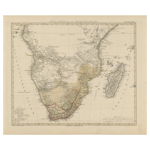 Southern Africa & Madagascar Antique Map – Beautiful 1857 Edition
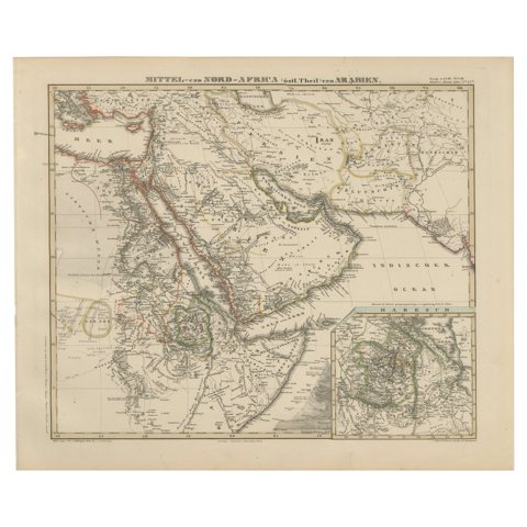 Historic 1857 Map of North-East Africa & Arabia – Fine Engraving
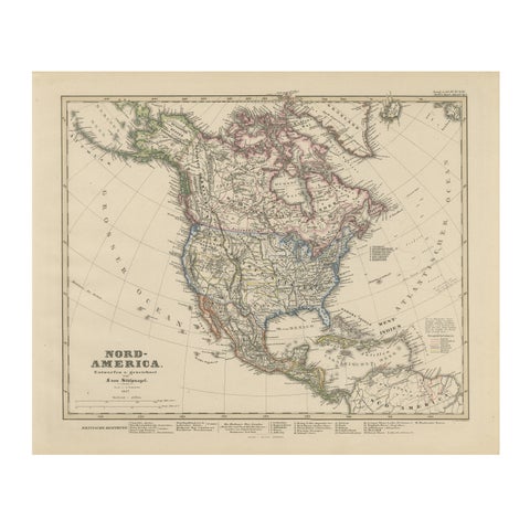 United States, Canada & Mexico – 1857 North America Map
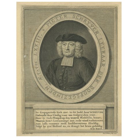 Portrait of Pieter Schrijver – Mennonite Preacher, Engraving by J.Folkema, 1739
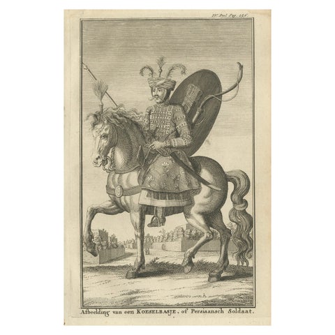 Mounted Persian Soldier – Safavid Military Costume, c.1730
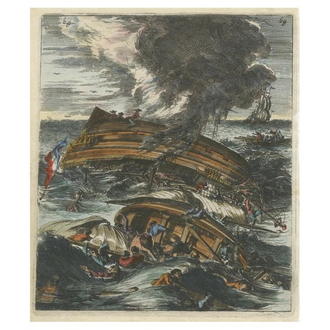 Capsizing Warships – Hand-Colored Etching of Schouten’s East Indian Voyage, 1676
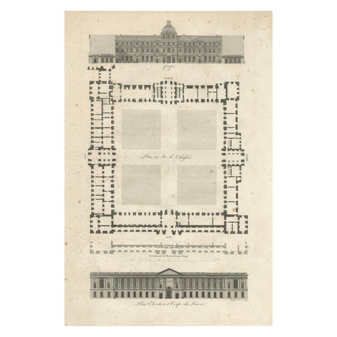 Plan, Elevation et Coupe du Louvre – Architectural Engraving by Baltard, c.1799
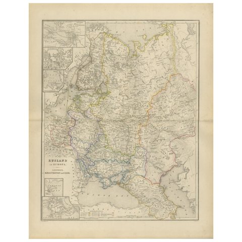 European Russia Map with Saint Petersburg Inset – Nieuwe Hand-Atlas, 1876
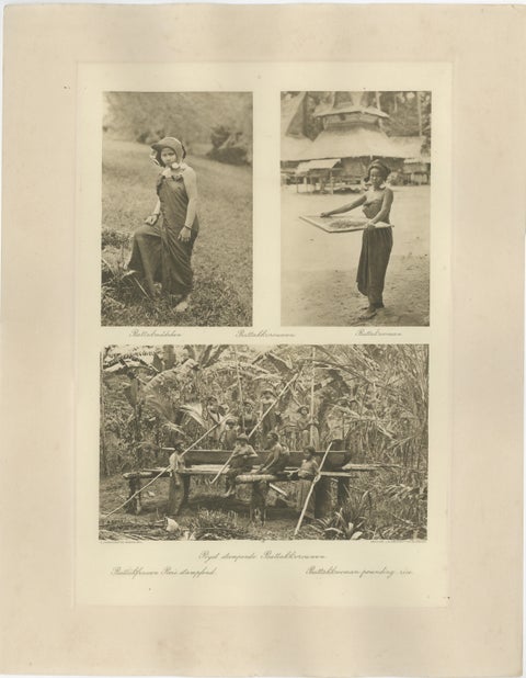 Batik, Sifting Rice & Women Working – Antique Photogravure of Batak People 1900
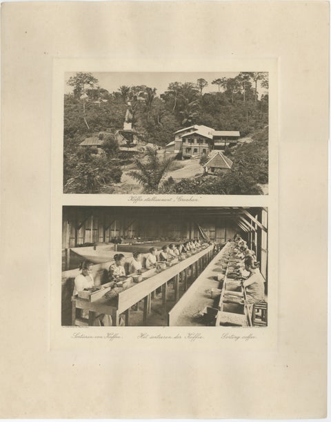 Coffee Establishment Girsahan & Sorting Coffee – Antique Photos Sumatra, c.1900
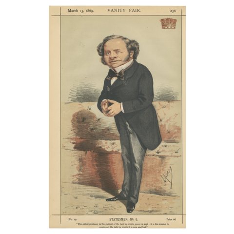 Victorian Cabinet Minister – Vanity Fair Statesmen No. 6, 1869
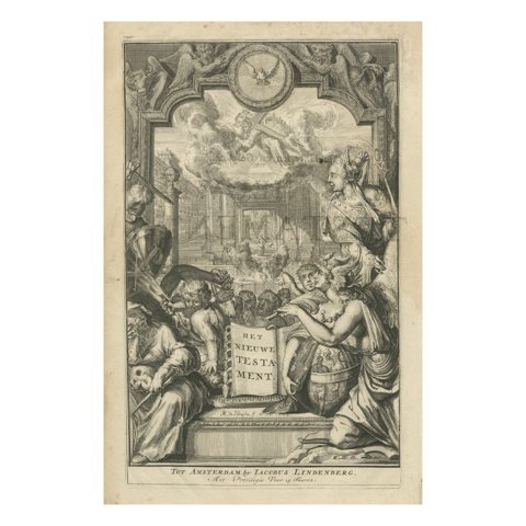 New Testament Title Page Engraving, Dutch Baroque, Circa 1703
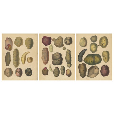 Antique Botanical Lithographs of Potatoes and Tubers, Calwer 1852
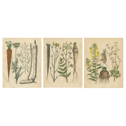 Antique Root and Medicinal Plant Prints, Botanical Studies, Germany 1852
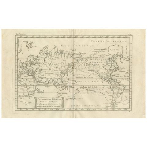 General World Planisphere for Navigation & Trade – Bonne c.1780
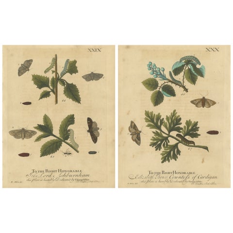 Antique English Moths & Caterpillars on Woodland Plants, Hand-Colored 1720
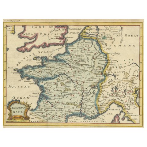 Hand-Colored Antique Map of Ancient Gaul, Roman Provinces, Circa 1748
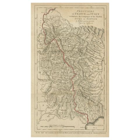 Frontiers of France and Italy – Duke of Berwick Campaigns Map, 1707–1712
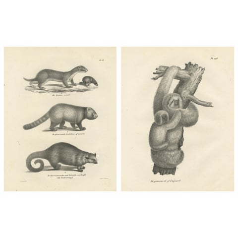 Pair of Antique Zoological Engravings – Exotic Mammals, c.1830
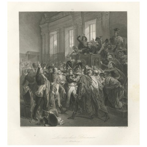 The Coup of 18 Brumaire – Napoleon Seizes Power, French History Engraving c.1840
Sharing the sale? Download the Black Friday banners.