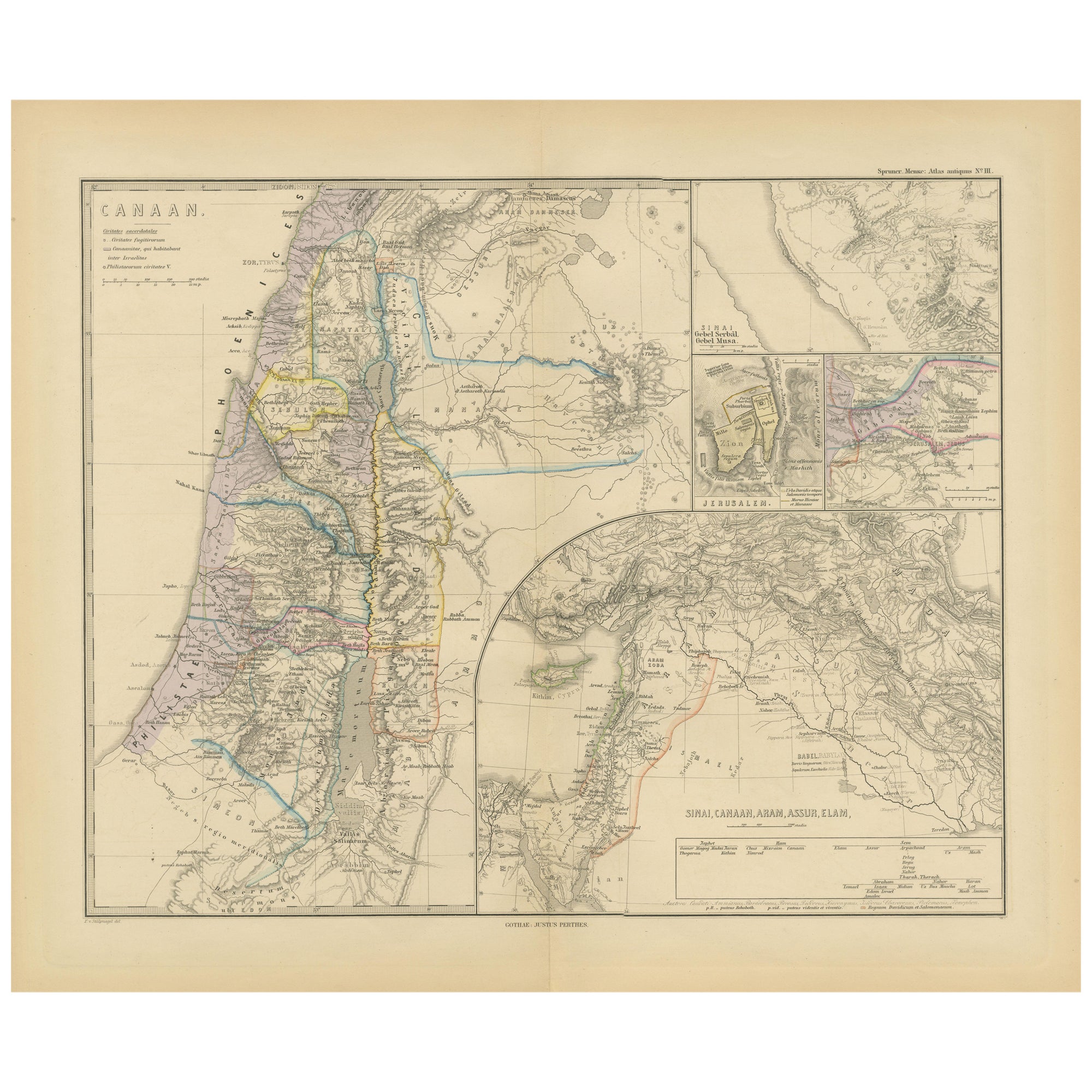
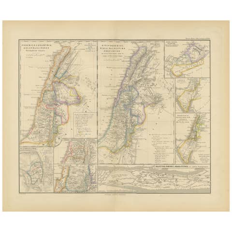
Historical Map of Canaan with Insets of Jerusalem and Surrounding Regions, 1880
€ 370
One of a kind: this is the sheet in the photographs. Ships from Langweer, the Netherlands.
Date
1880
Sheet size
39.5 × 47 cm (15.6 × 18.5 in)
Condition
Good
Reference
BG-13686-2-22
Condition
Good, given age. General age-related toning, especially around the edges. vertical folding line as issued. Please study scan carefully.
About this sheet
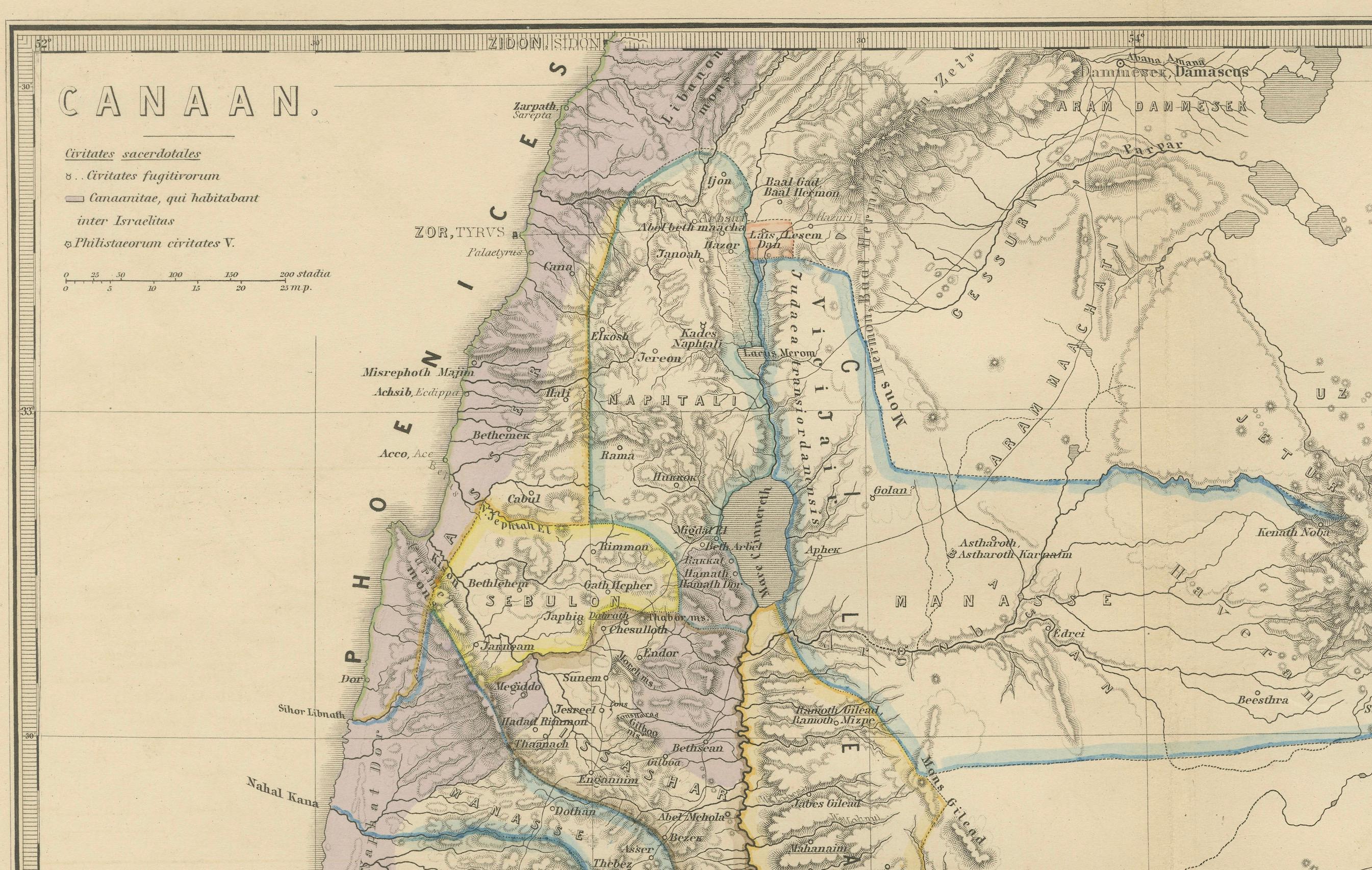
The map titled "CANAAN" depicts the historical region known as Canaan, located in the Levant, which corresponds to modern-day Israel, Palestinian territories, Lebanon, and parts of Syria and Jordan.
Key features include:
1. **Historical Territories**: It details the territories of the ancient Canaanite people and the subsequent Israelite tribes.
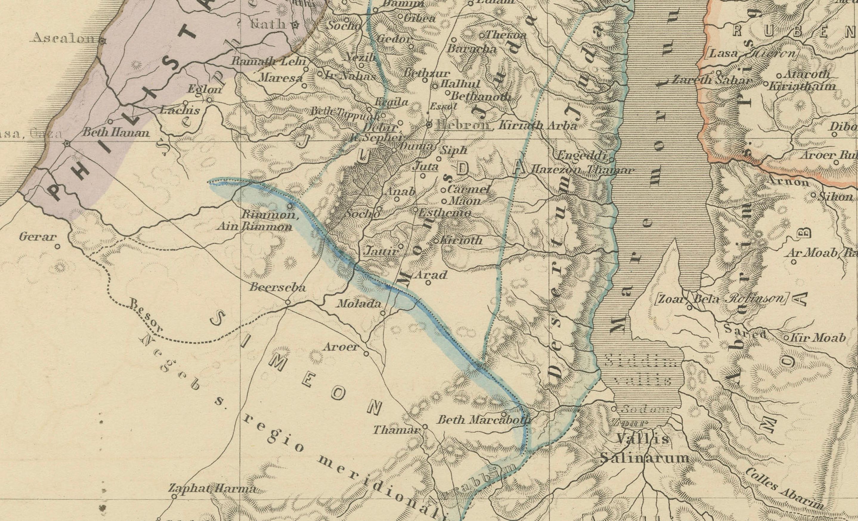
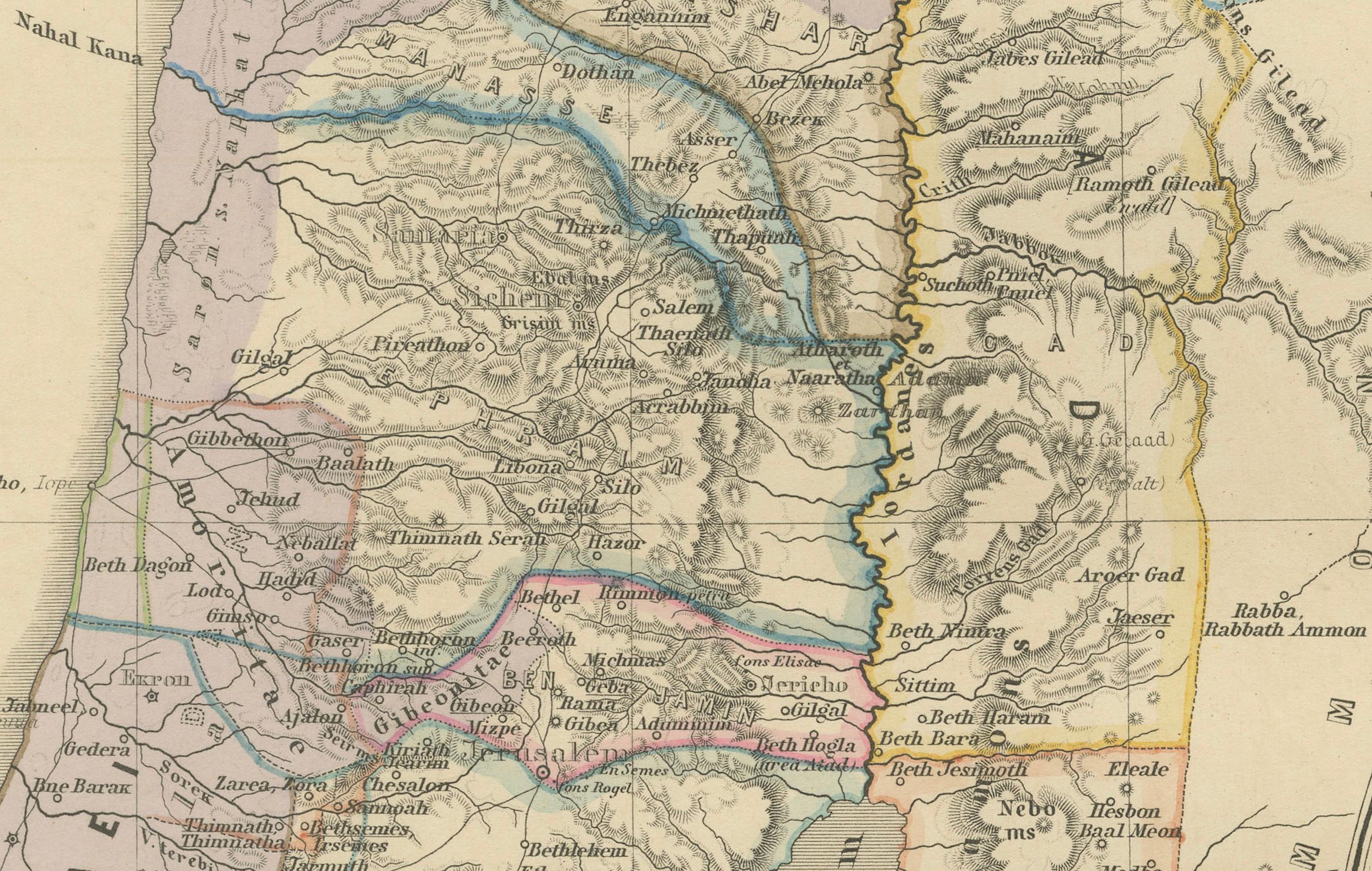
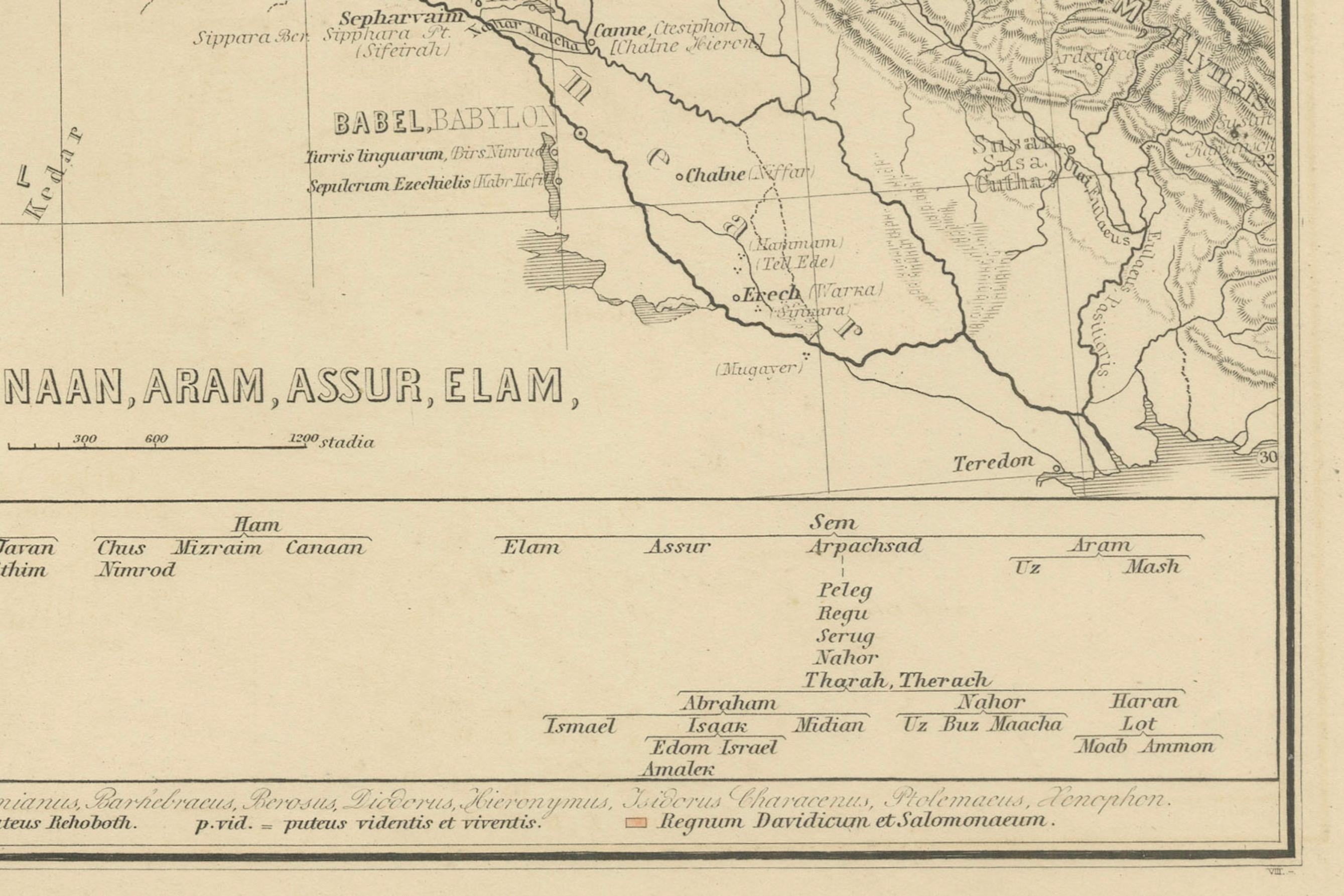
2. **Geographical Features**: The map shows the eastern Mediterranean coastline, the Jordan River, the Dead Sea, and other significant topographical features like mountain ranges and valleys.
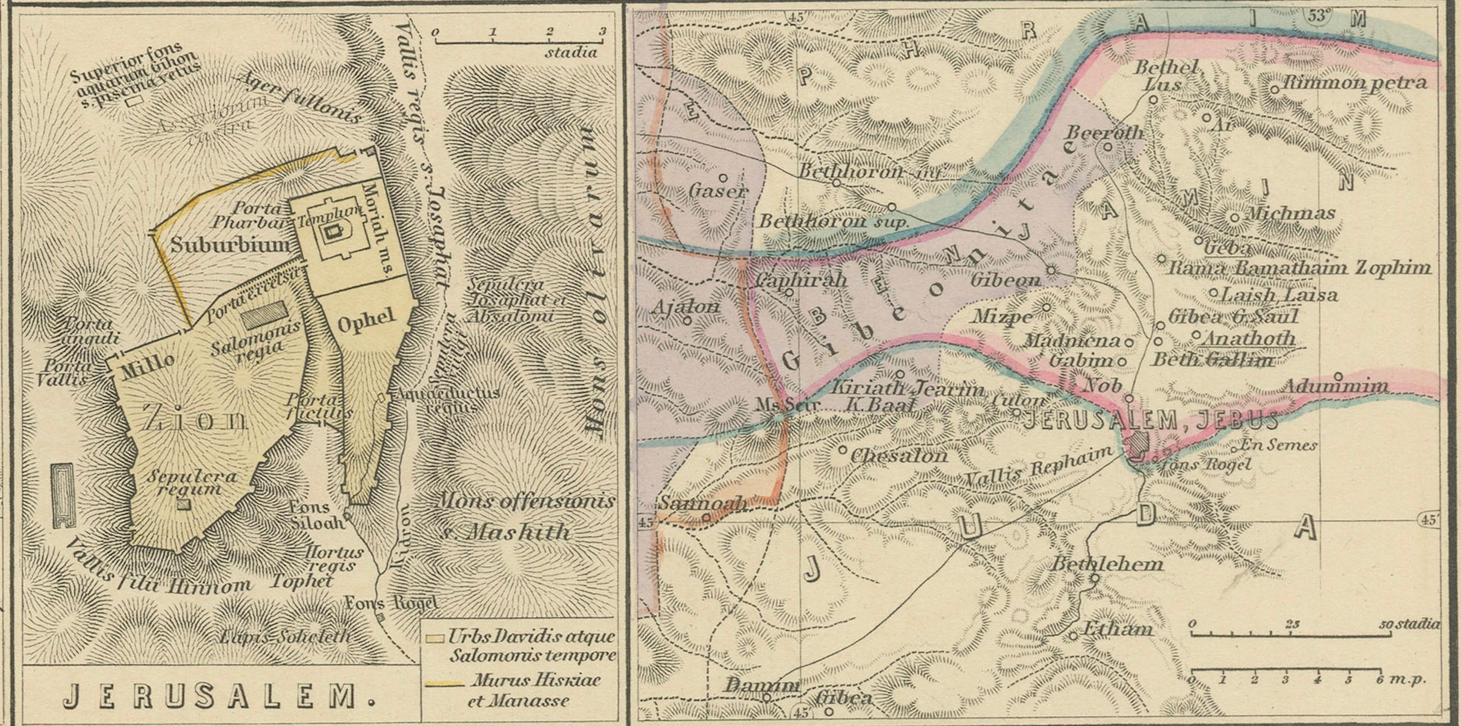
3. **Inset Maps**: There are inset maps that provide a detailed view of important locations, such as Jerusalem, with key historical and biblical sites marked.
4. **Ancient Cities**: Cities such as Jericho, Hebron, and others are likely indicated, reflecting their importance in ancient times.
5. **Cultural and Political Boundaries**: The boundaries of the map might reflect the political divisions during different periods, such as the time of the Canaanites, the Judges, or the united and divided monarchy of Israel.
6. **Archaeological and Historical Sites**: The map may also mark locations of archaeological significance or areas mentioned in biblical and historical texts.
This map would hold interest for those studying the ancient Near East, biblical history, archaeology, and the historical geography of the region. It represents the area during a period that could range from the late Bronze Age to the Iron Age when Canaan was a hub of various cultural and political activities.
This map is from the "Spruner-Menke Atlas Antiquus," a historical atlas compiled by German cartographer Karl Spruner von Merz and later edited by Theodorus Menke. The atlas is known for its detailed maps of the ancient world, intended for educational and scholarly use, and was published in the late 19th century.