Black Friday starts Friday 20 November: up to 30% off, plus free FedEx shipping on qualifying orders →
Orders placed from 15 to 30 November ship from 1 December, in time for Christmas. Our shipping partner: InXpress.
Maps & PrintsBartele Gallery · Langweer

maps-prints.com

✦

Black Friday Sale

Friday 20 to Monday 30 November: up to 30% off original antique maps and prints

Follow your favourite collections

Optional: receive a weekly selection of new arrivals from the collections you love.

You can change your choices or unsubscribe at any time.

The terms

  • Up to 30% off selected original antique maps and prints. Every piece is an original, printed in its own time; none is a reproduction.
  • The sale runs from Friday 20 November to Monday 30 November. Sale prices shown here apply from Friday 20 November; until then pieces are sold at their regular price.
  • Free FedEx shipping on qualifying orders placed on our own websites: USA, Canada, UK and Europe over $500 / €450; rest of the world over $750 / €675. Smaller orders pay our normal shipping rate.
  • Orders placed from 15 to 30 November ship from 1 December, in time for Christmas. Our shipping partner is InXpress.
  • Each piece is unique, so the sale is while stock lasts.

Sale prices apply from Friday 20 November. Save the pieces you like with the heart and come back on Friday.
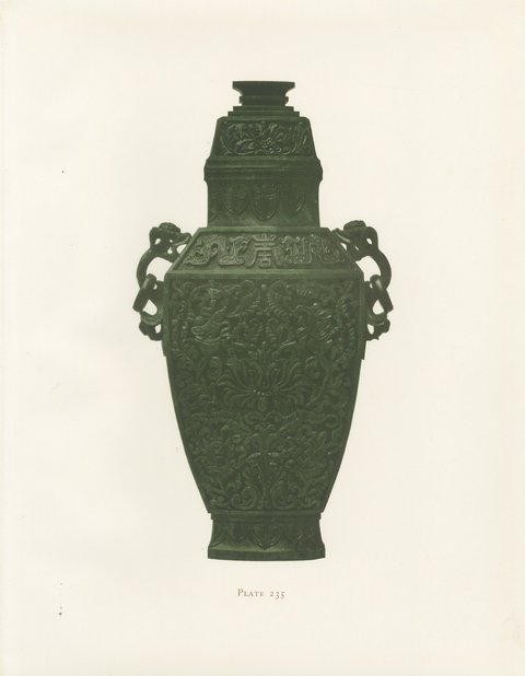
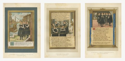
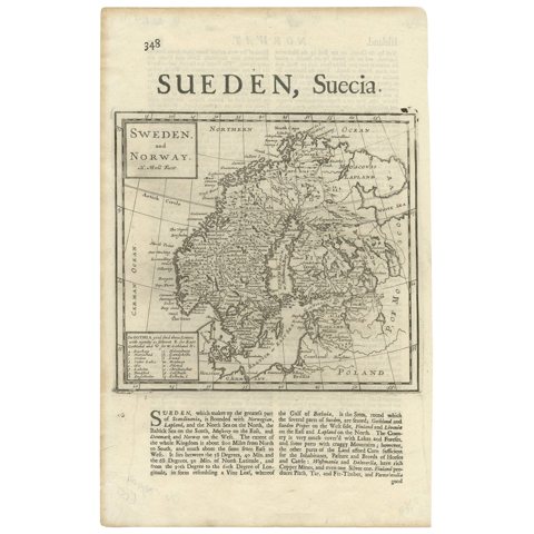
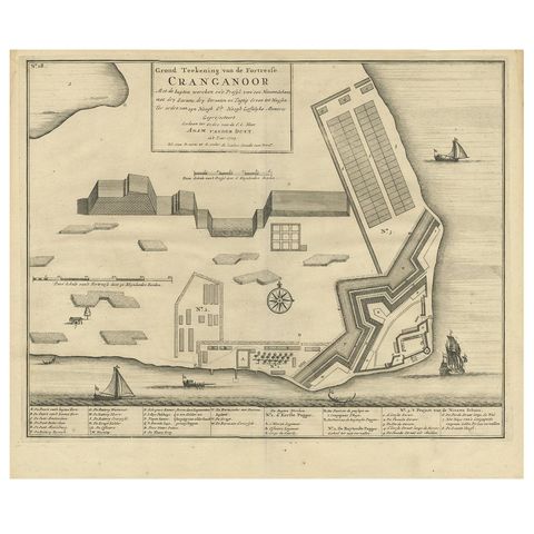
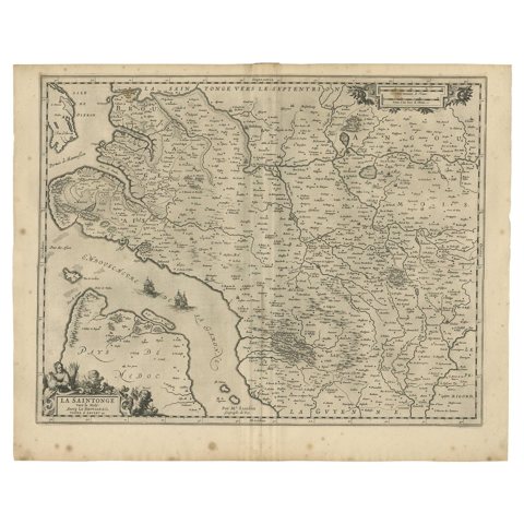
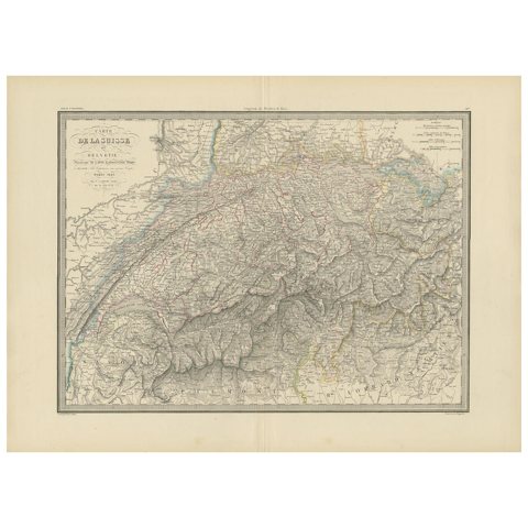
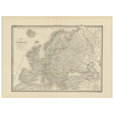
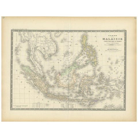
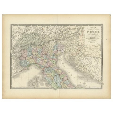
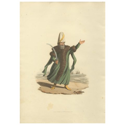
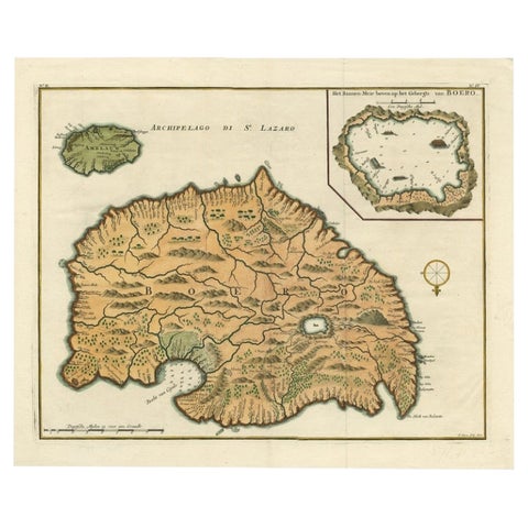
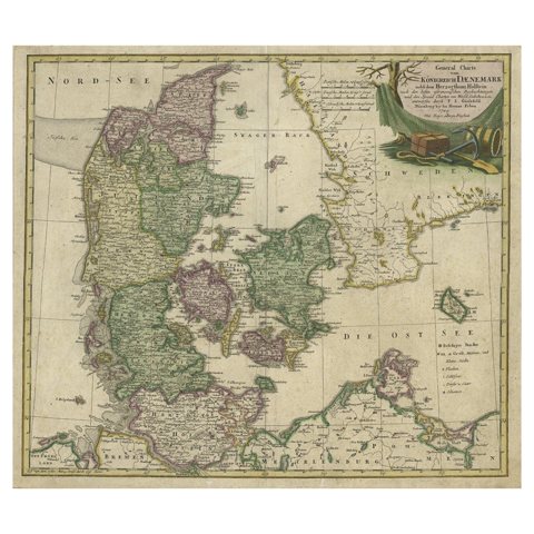
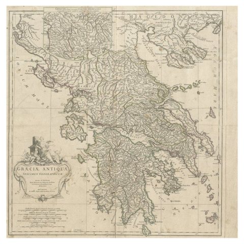
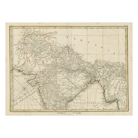
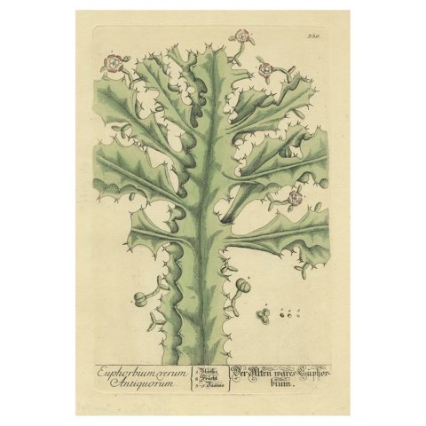
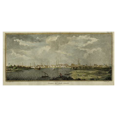
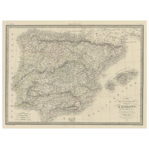
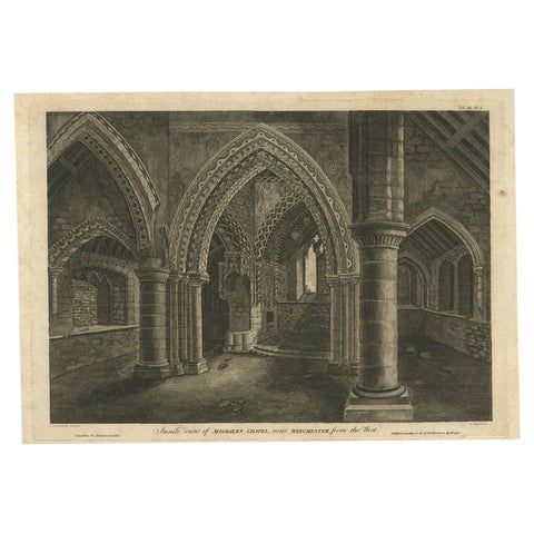
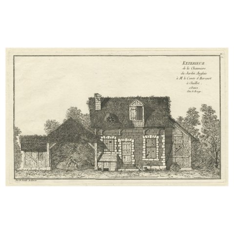
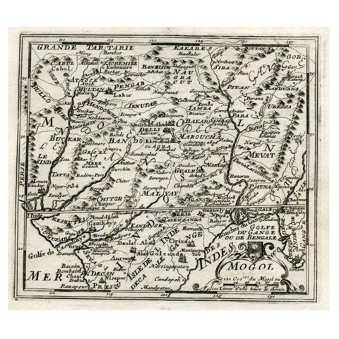
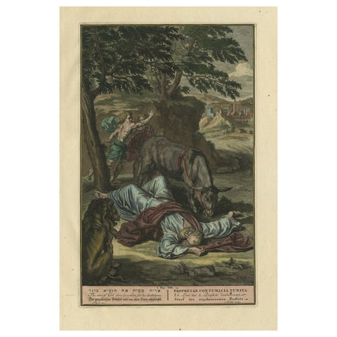
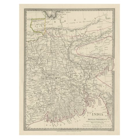
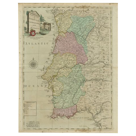
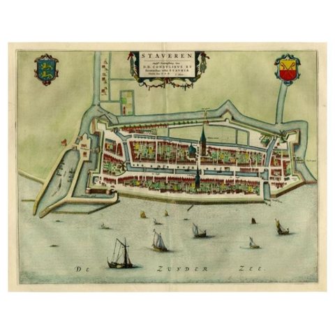
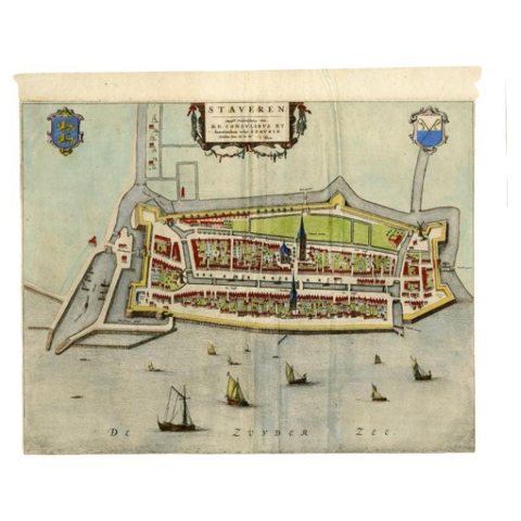
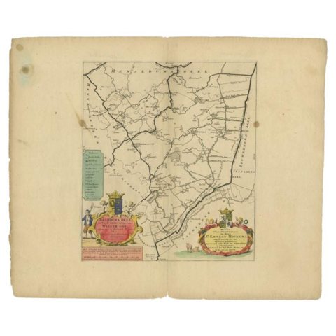
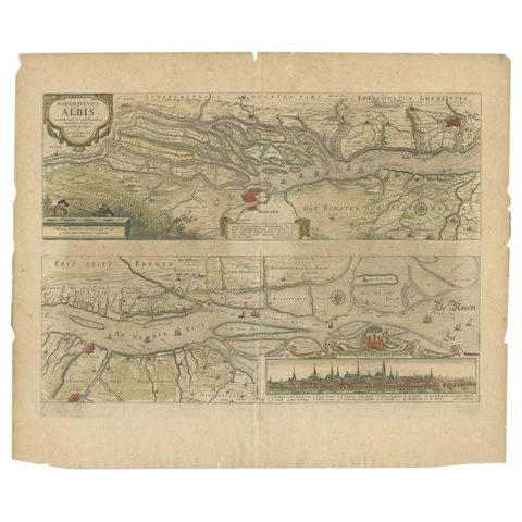
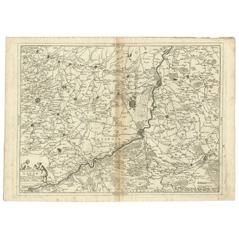
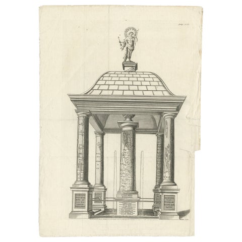
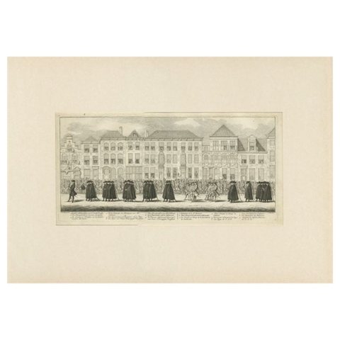
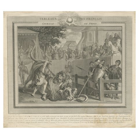
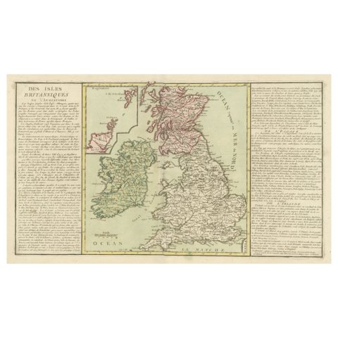
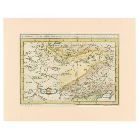
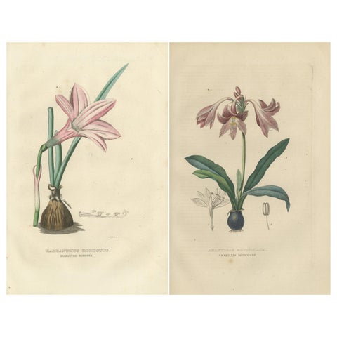
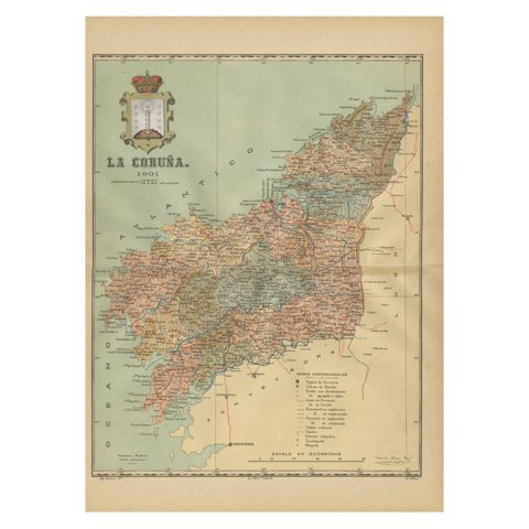
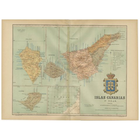
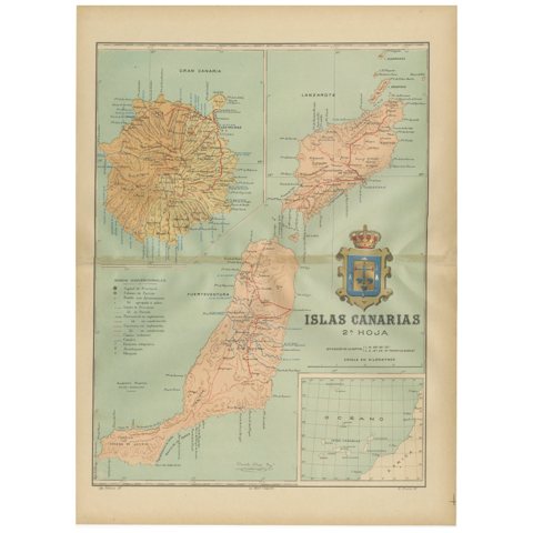
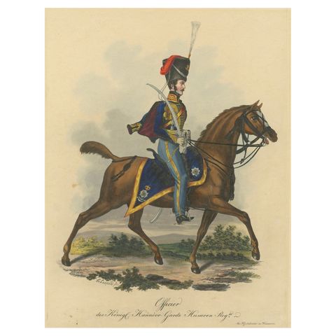
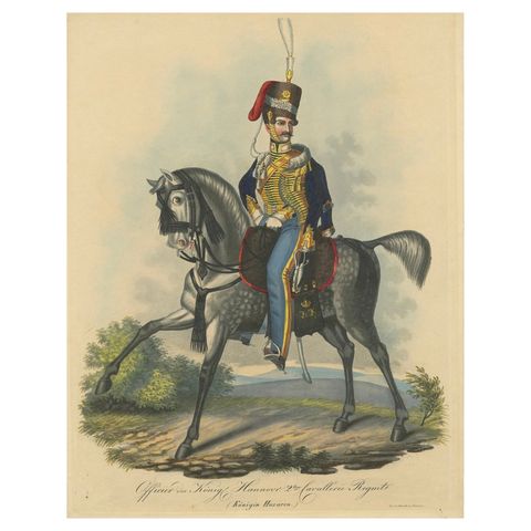
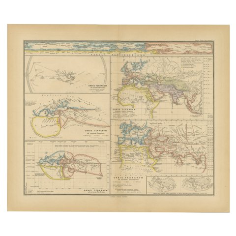
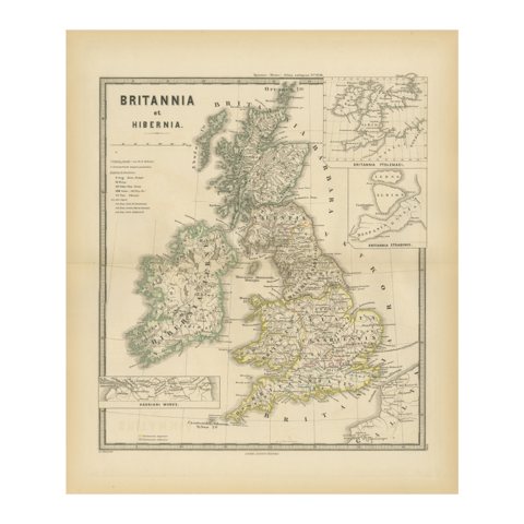
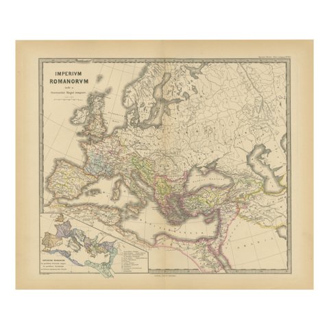
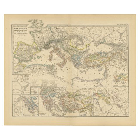
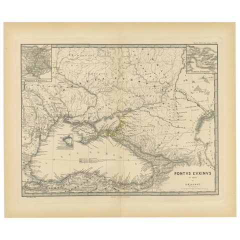
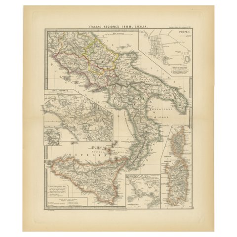
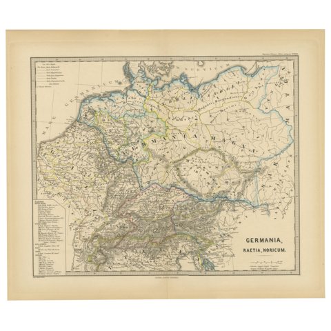
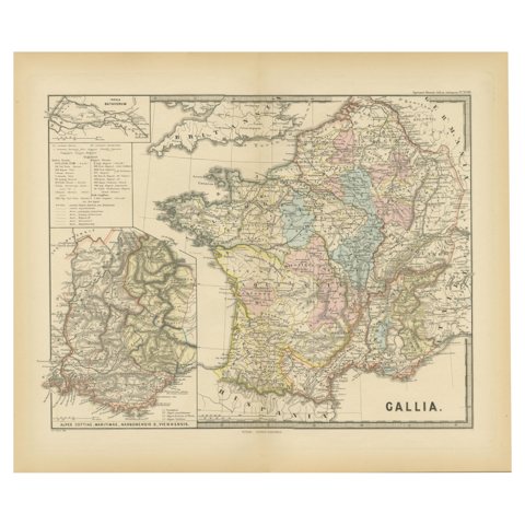
Dark Green Jade Vase, Bowl and Buddha Bowl, Three Kang-he Plates, 1911Dark Green Jade Vase, Bowl and Buddha Bowl, Three Kang-he Plates, 1911$490 $365 25% offfrom Friday 20 NovemberSet of 3 Antique Chromolithographs, Thomassine Spinola of Genoa, 1882Set of 3 Antique Chromolithographs, Thomassine Spinola of Genoa, 1882$405 $285 30% offfrom Friday 20 NovemberAntique Map of Sweden and Norway by H. Moll, circa 1715Antique Map of Sweden and Norway by H. Moll, circa 1715$405 $285 30% offfrom Friday 20 NovemberAntique Print of Cranganore Fort, India by Valentijn, 1726Antique Print of Cranganore Fort, India by Valentijn, 1726$405 $285 30% offfrom Friday 20 NovemberAntique Map of the Region of Saintonge by Janssonius, 1657Antique Map of the Region of Saintonge by Janssonius, 1657$490 $365 25% offfrom Friday 20 NovemberAntique Map of Switzerland by Lapie, 1842Antique Map of Switzerland by Lapie, 1842$405 $285 30% offfrom Friday 20 NovemberAntique Map of Europe by Pierre M. Lapie, Engraved, France, 1842Antique Map of Europe by Pierre M. Lapie, Engraved, France, 1842$405 $285 30% offfrom Friday 20 NovemberAntique Map of the East Indies by Levasseur, 1875Antique Map of the East Indies by Levasseur, 1875$405 $285 30% offfrom Friday 20 NovemberAntique Map of Northern Italy by Levasseur, 1875Antique Map of Northern Italy by Levasseur, 1875$405 $285 30% offfrom Friday 20 NovemberSet of 7 Antique Prints of Various Butterflies and Moths by Ramann 'circa 1870'Set of 7 Antique Prints of Various Butterflies and Moths by Ramann 'circa 1870'$405 $285 30% offfrom Friday 20 NovemberAntique Print of Capitan Pacha, Hand-Colored Aquatint, 1818Antique Print of Capitan Pacha, Hand-Colored Aquatint, 1818$405 $285 30% offfrom Friday 20 NovemberAntique Map of Ambelau and Buru Island, Maluku or Moluccas in Indonesia, 1726Antique Map of Ambelau and Buru Island, Maluku or Moluccas in Indonesia, 1726$405 $285 30% offfrom Friday 20 NovemberAntique Map of Denmark with Schleswig-Holstein and the South of Sweden, c.1750Antique Map of Denmark with Schleswig-Holstein and the South of Sweden, c.1750$405 $285 30% offfrom Friday 20 NovemberLarge Scale Map of Greece with Inset Map of Macedonia, c.1786Large Scale Map of Greece with Inset Map of Macedonia, c.1786$405 $285 30% offfrom Friday 20 NovemberOld Map of North India From Kandahar East to Burma 'Pegu' and South to Goa, 1776Old Map of North India From Kandahar East to Burma 'Pegu' and South to Goa, 1776$405 $285 30% offfrom Friday 20 NovemberOriginal Old Antique Print Showing the True Euphorbium, 1737Original Old Antique Print Showing the True Euphorbium, 1737$405 $285 30% offfrom Friday 20 NovemberOriginal Antique View of the City of Damietta, Egypt, 1774Original Antique View of the City of Damietta, Egypt, 1774$405 $285 30% offfrom Friday 20 NovemberAntique Map of Spain and Portugal by Pierre M. Lapie, 1842, Wall ArtAntique Map of Spain and Portugal by Pierre M. Lapie, 1842, Wall Art$405 $285 30% offfrom Friday 20 NovemberInside View of Magdalen Chapel – Engraving of Medieval Gothic Interior, 1790Inside View of Magdalen Chapel – Engraving of Medieval Gothic Interior, 1790$405 $285 30% offfrom Friday 20 NovemberAntique Print of a Cottage in an English Garden by Le Rouge, c.1785Antique Print of a Cottage in an English Garden by Le Rouge, c.1785$405 $285 30% offfrom Friday 20 NovemberMap of Northern India and Pakistan 'Mogol', Showing Kabul, Delhi Etc., 1758Map of Northern India and Pakistan 'Mogol', Showing Kabul, Delhi Etc., 1758$405 $285 30% offfrom Friday 20 NovemberOriginal Antique Print Showing the Prophet Killed by a Lion 'I Kings XII', 1728Original Antique Print Showing the Prophet Killed by a Lion 'I Kings XII', 1728$405 $285 30% offfrom Friday 20 NovemberSteel Engraved Map of Part of the Bengal Presidency 'India & Bangladesh', 1831Steel Engraved Map of Part of the Bengal Presidency 'India & Bangladesh', 1831$405 $285 30% offfrom Friday 20 November18th Century Portugal Original Antique Engraving by Bowles18th Century Portugal Original Antique Engraving by Bowles$490 $365 25% offfrom Friday 20 NovemberAntique Map of Stavoren by Blaeu, 1649Antique Map of Stavoren by Blaeu, 1649$405 $285 30% offfrom Friday 20 NovemberAntique Map of Stavoren by Blaeu, 1649Antique Map of Stavoren by Blaeu, 1649$490 $365 25% offfrom Friday 20 NovemberAntique Map of the Baarderadeel Township, 1718Antique Map of the Baarderadeel Township, 1718$405 $285 30% offfrom Friday 20 NovemberAntique Map of the Course of the Elbe River by Janssonius, c.1650Antique Map of the Course of the Elbe River by Janssonius, c.1650$490 $365 25% offfrom Friday 20 NovemberAntique Map of the Region of Liege by Coronelli, 1690Antique Map of the Region of Liege by Coronelli, 1690$405 $285 30% offfrom Friday 20 NovemberMonumental Design with World Map Pillar – Engraving after Volckamer, c.1780Monumental Design with World Map Pillar – Engraving after Volckamer, c.1780$405 $285 30% offfrom Friday 20 NovemberAntique Print of the Funeral Procession of Anna Van Hannover by Fokke, 1761Antique Print of the Funeral Procession of Anna Van Hannover by Fokke, 1761$405 $285 30% offfrom Friday 20 NovemberAntique Print of the Bravery of Pepin the Short, First King of the FranksAntique Print of the Bravery of Pepin the Short, First King of the Franks$405 $285 30% offfrom Friday 20 NovemberOriginal Antique Map of the British Isles Surrounded by TextOriginal Antique Map of the British Isles Surrounded by Text$405 $285 30% offfrom Friday 20 NovemberAntique Map of Tartary by Jacques Nicolas Bellin, Hand Colored, c.1750Antique Map of Tartary by Jacques Nicolas Bellin, Hand Colored, c.1750$405 $285 30% offfrom Friday 20 NovemberVintage Verdure: Original Hand-Colored Engravings of 1845 FloraVintage Verdure: Original Hand-Colored Engravings of 1845 Flora$405 $285 30% offfrom Friday 20 NovemberLa Coruña 1901: A Cartographic View of Galicia's Maritime ProvinceLa Coruña 1901: A Cartographic View of Galicia's Maritime Province$405 $285 30% offfrom Friday 20 NovemberIslands of Fire and Whispers: The Canary Islands in 1902Islands of Fire and Whispers: The Canary Islands in 1902$405 $285 30% offfrom Friday 20 NovemberVolcanic Eden: The Canary Islands’ Tapestry of Land and Sea in 1902Volcanic Eden: The Canary Islands’ Tapestry of Land and Sea in 1902$405 $285 30% offfrom Friday 20 NovemberHanoverian Guard Hussar Officer Elegance, 19th Century Military PrintHanoverian Guard Hussar Officer Elegance, 19th Century Military Print$405 $285 30% offfrom Friday 20 November2nd Cavalry Regiment (the Queen's Hussars) of the King's German Legion, 18282nd Cavalry Regiment (the Queen's Hussars) of the King's German Legion, 1828$405 $285 30% offfrom Friday 20 NovemberOriginal Old Composite of Several Maps of the Ancient World on One Sheet, 1880Original Old Composite of Several Maps of the Ancient World on One Sheet, 1880$405 $285 30% offfrom Friday 20 NovemberAncient Cartography of Britannia and Hibernia, Published in 1880Ancient Cartography of Britannia and Hibernia, Published in 1880$405 $285 30% offfrom Friday 20 NovemberOld Map of Mediterranean Powers: Pompey to Actium (66-31 BC), Published in 1880Old Map of Mediterranean Powers: Pompey to Actium (66-31 BC), Published in 1880$405 $285 30% offfrom Friday 20 NovemberMediterranean Encounters: From the Punic Wars to the Hannibalic War,  1880Mediterranean Encounters: From the Punic Wars to the Hannibalic War, 1880$405 $285 30% offfrom Friday 20 NovemberBlack Sea in Antiquity: Pontus Euxinus Map, Published in 1880Black Sea in Antiquity: Pontus Euxinus Map, Published in 1880$405 $285 30% offfrom Friday 20 NovemberAntique Map of The Regions of Italy and Sicily during the Roman Empire, 1880Antique Map of The Regions of Italy and Sicily during the Roman Empire, 1880$405 $285 30% offfrom Friday 20 NovemberRoman Frontiers Engraved: Germania, Raetia, and Noricum, Published in 1880Roman Frontiers Engraved: Germania, Raetia, and Noricum, Published in 1880$405 $285 30% offfrom Friday 20 NovemberAncient Gaul: A Cartographic Overview of Gallic Tribes and Roman Provinces, 1880Ancient Gaul: A Cartographic Overview of Gallic Tribes and Roman Provinces, 1880$405 $285 30% offfrom Friday 20 November

Sharing the sale? Download the Black Friday banners.

Your favorites

Saved in this browser. Email the list to yourself to keep it on any device.

We use your email to send this list and, only if you tick the box and confirm, for occasional new arrivals. Every email has an unsubscribe link. Bartele Gallery, the Netherlands.

Powered by SiteKeys