About this sheet
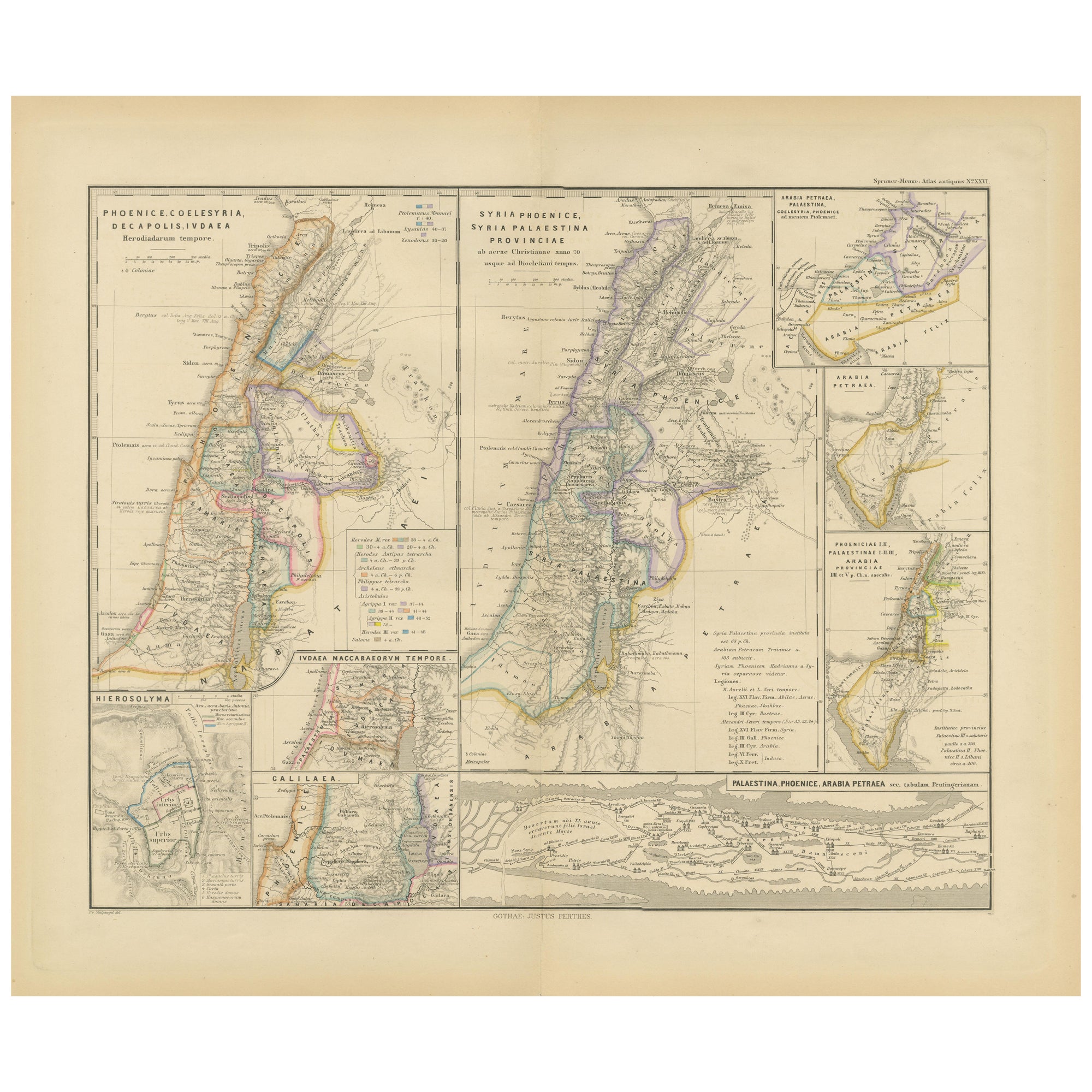
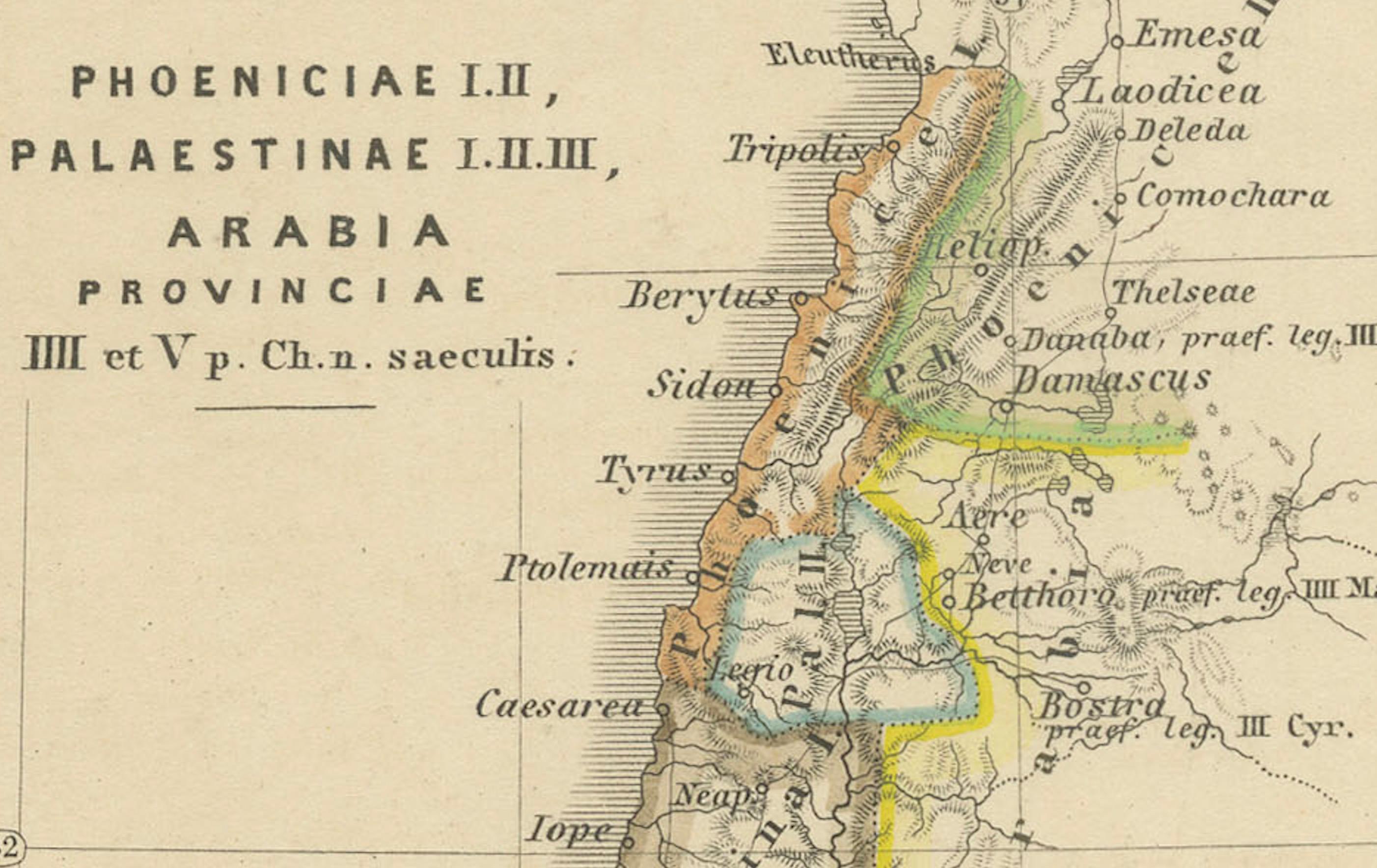
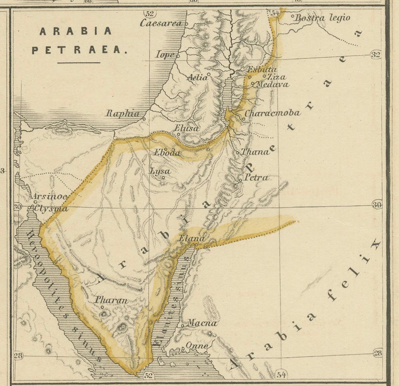
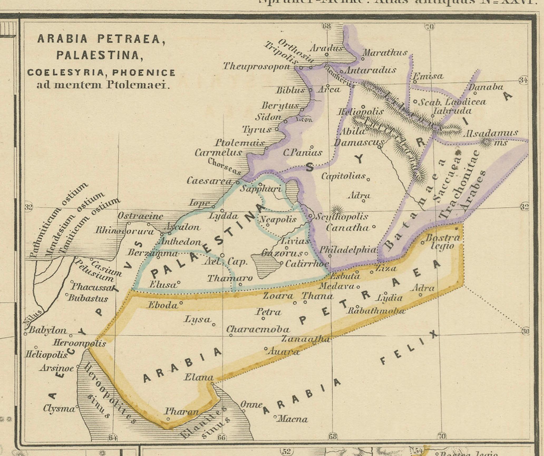
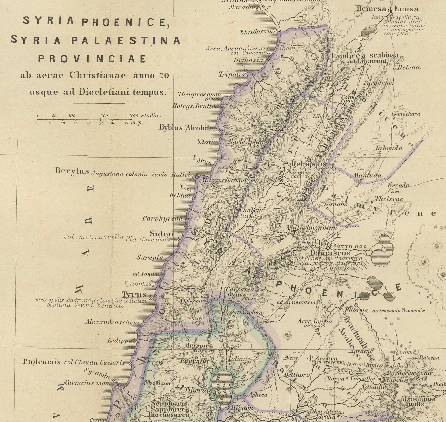
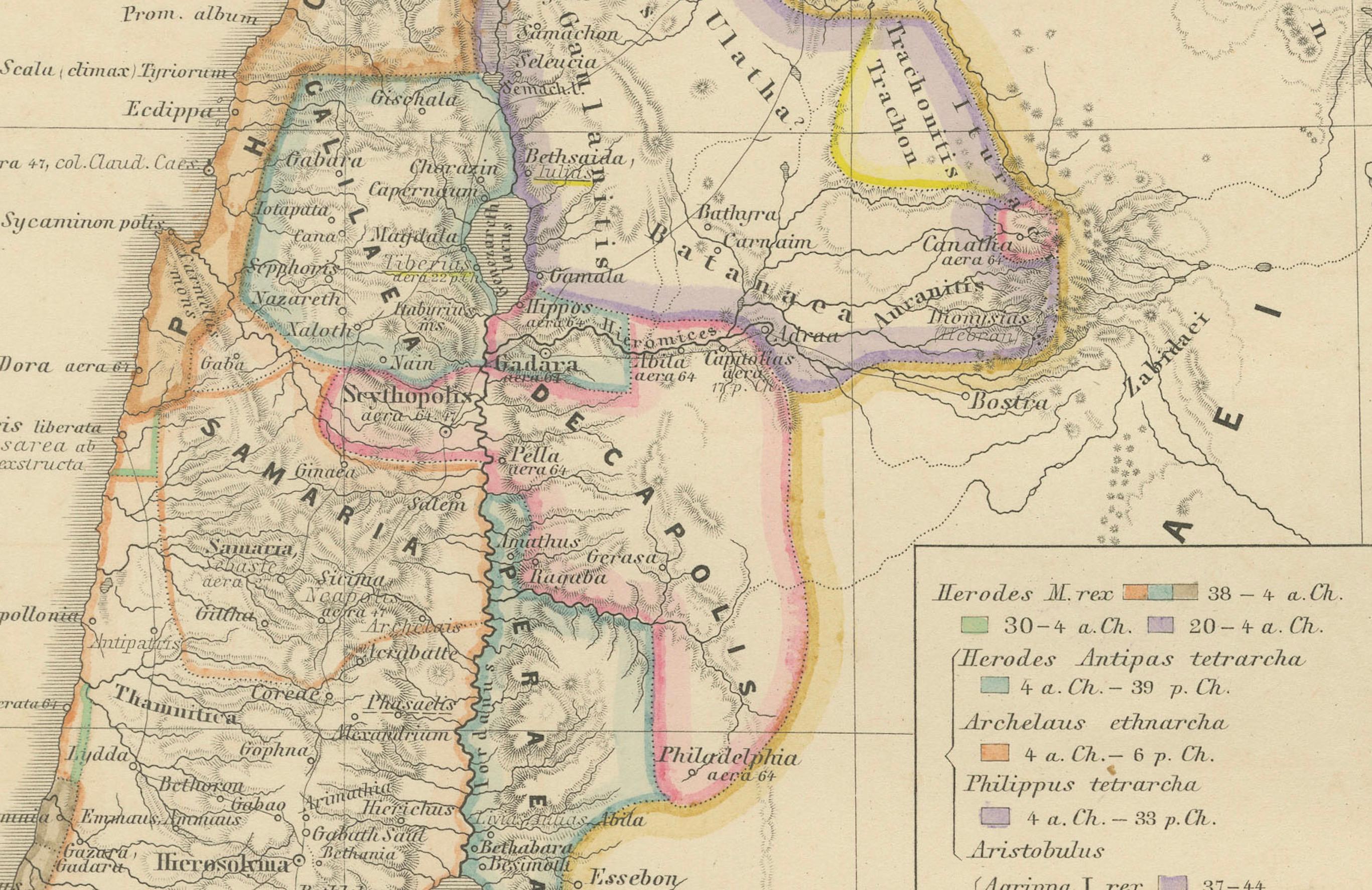
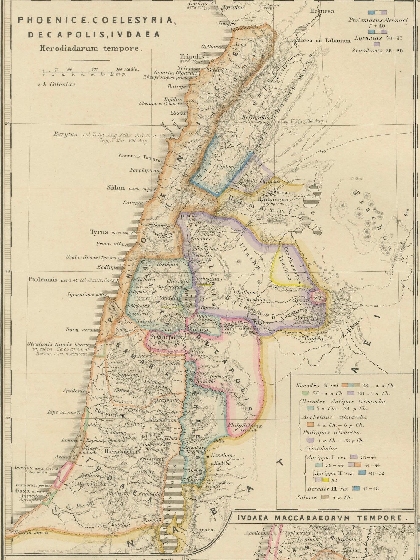
The map is titled "PHOENICE, COELESYRIA, IDUMAEA, JUDAEA MACCABAEORUM TEMPORE," which translates to "Phoenicia, Coele-Syria, Idumea, Judea at the Time of the Maccabees."
This original antique map is a rich historical document for several reasons:
1. **Historical Regions**: It includes Phoenicia, known for its seafaring and trading prowess; Coele-Syria, a region often contested between the Seleucid Empire and the Ptolemaic Empire; Idumea, the region inhabited by the Edomites; and Judea, the Jewish homeland during the time of the Maccabees.
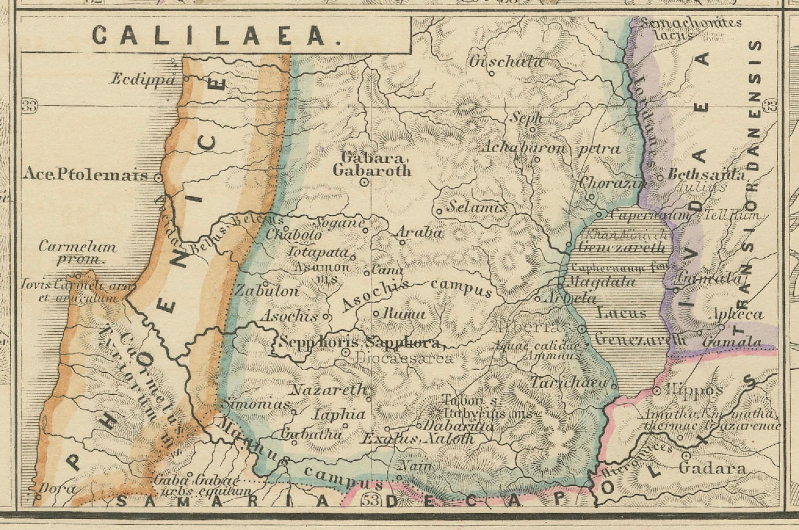
2. **Inset Maps**: The map features inset maps of significant historical areas such as Hierosolyma (Jerusalem) and Galilaea (Galilee), providing detailed views of these important locations.
3. **Ancient Civilizations**: It encompasses the crossroads of ancient civilizations, reflecting the cultural, political, and military complexities of the Eastern Mediterranean.
4. **Latin Names**: The use of Latin nomenclature for place names aligns with scholarly traditions of the time when the map was created, emphasizing its educational and historical value.
5. **Detailed Geography**: The map shows detailed topographical features, including mountains, valleys, and the eastern Mediterranean coast.
6. **Historical Context**: The time of the Maccabees, indicated in the title, refers to a period of Jewish history characterized by revolt against Hellenistic influence and the establishment of the Hasmonean dynasty.
This period corresponds to the 2nd and 1st centuries BC, a time of great historical significance due to the cultural and political shifts in Judea and the surrounding regions. The map would be particularly valuable to those interested in the history of the Levant and the Hellenistic period.
This map is from the "Spruner-Menke Atlas Antiquus," a historical atlas compiled by German cartographer Karl Spruner von Merz and later edited by Theodorus Menke. The atlas is known for its detailed maps of the ancient world, intended for educational and scholarly use, and was published in the late 19th century.