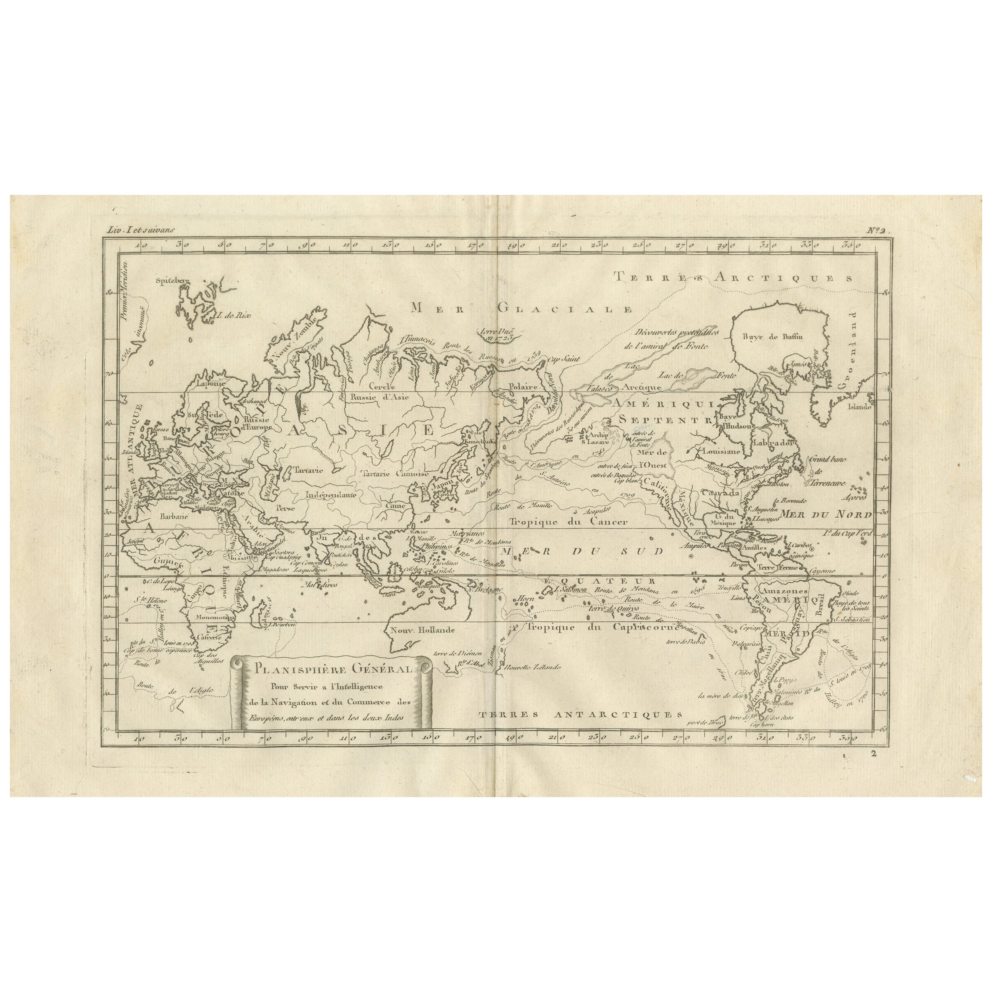
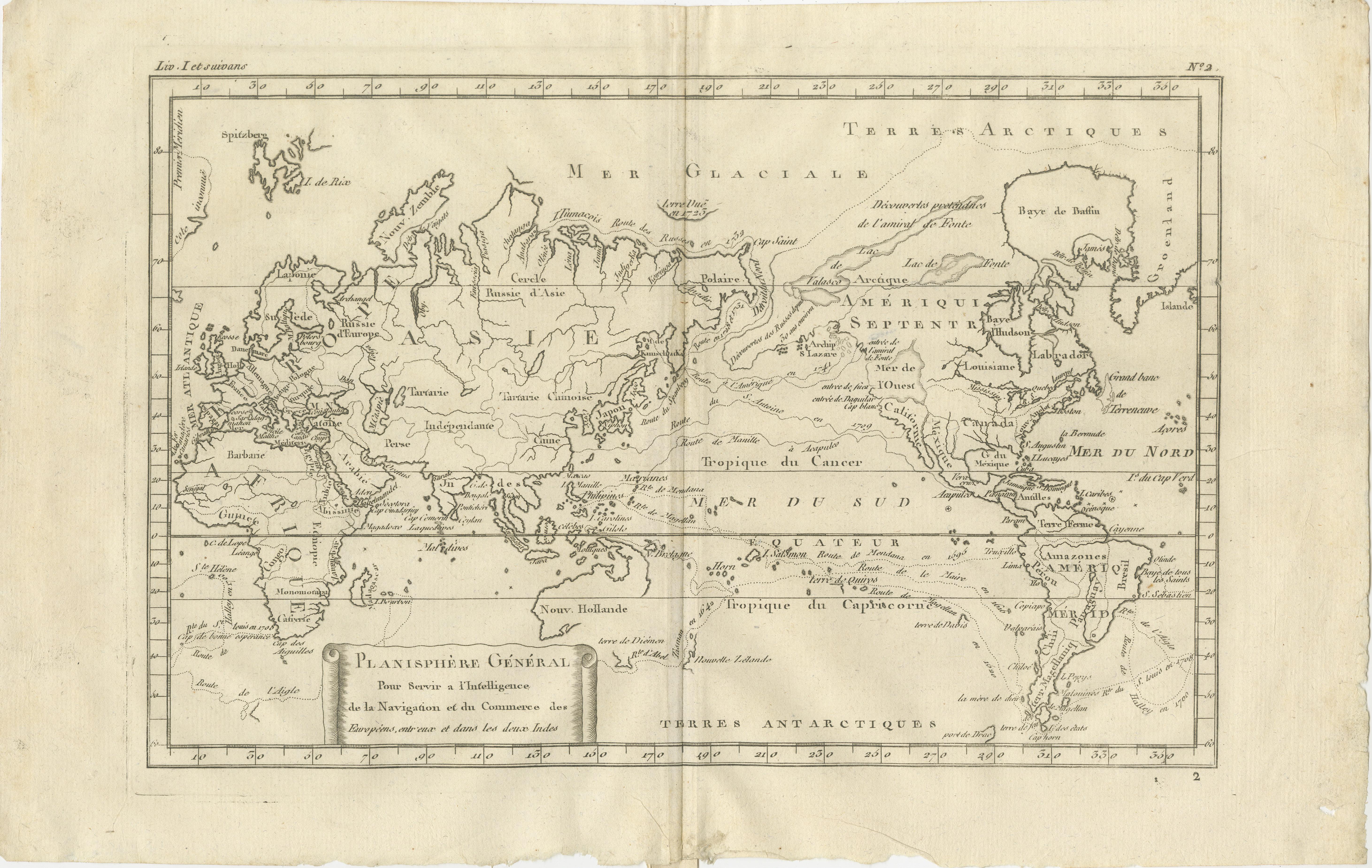
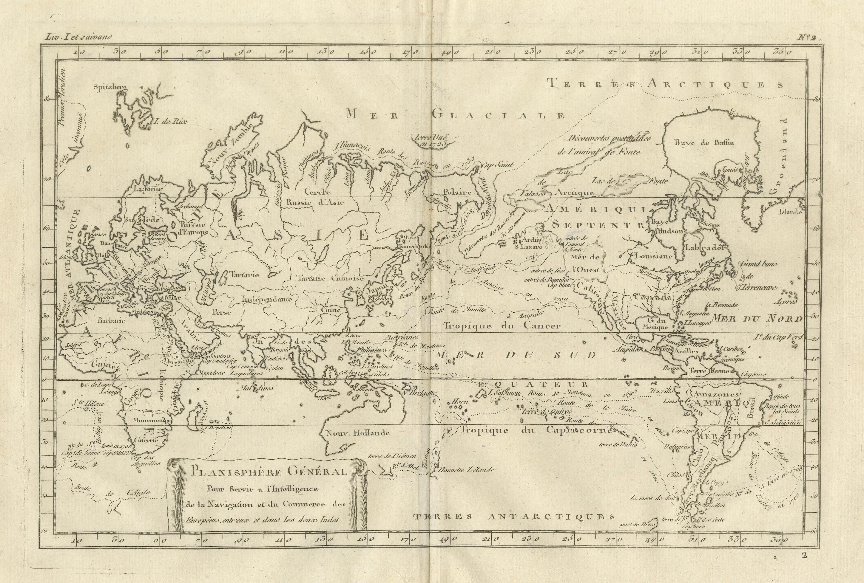
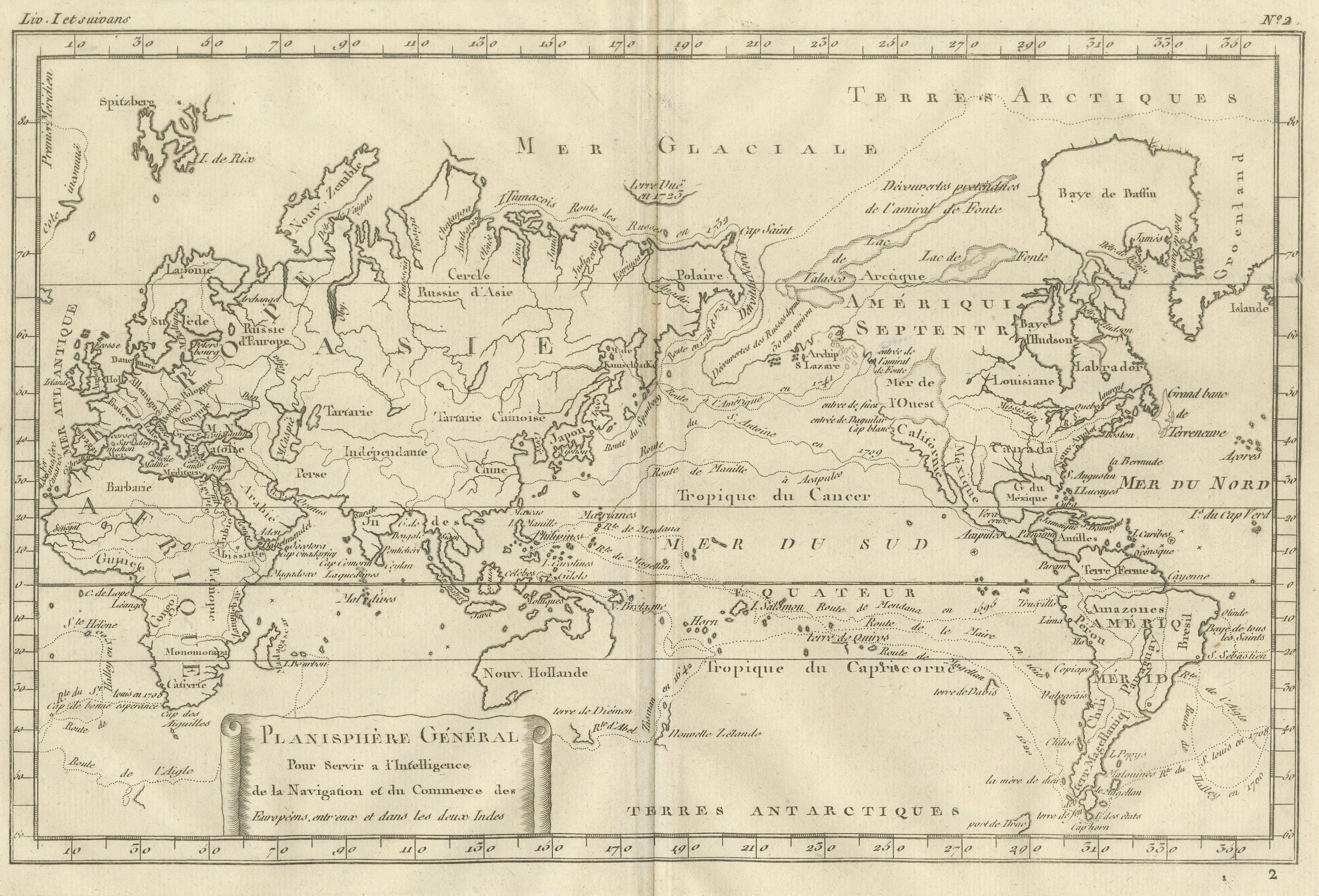
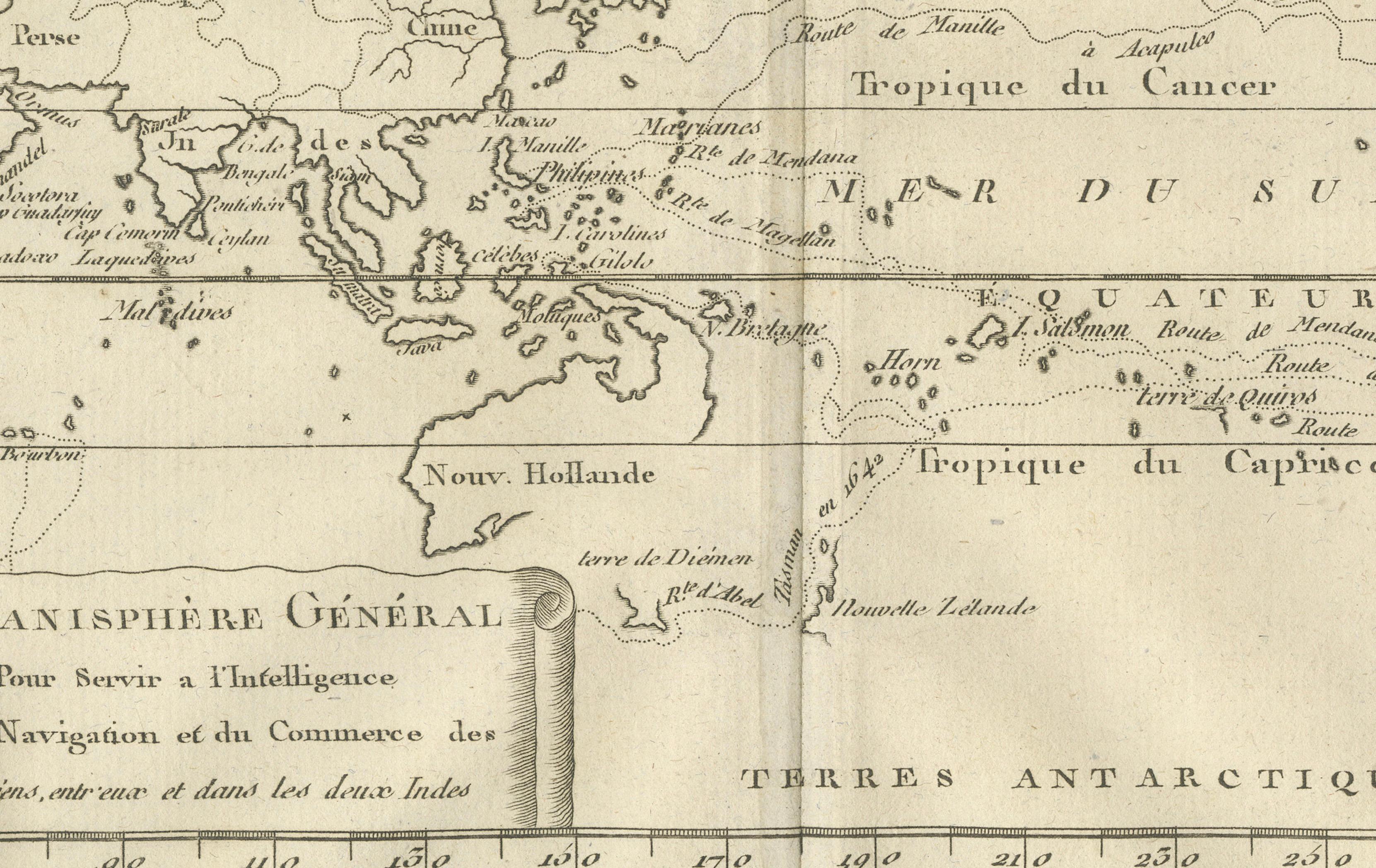
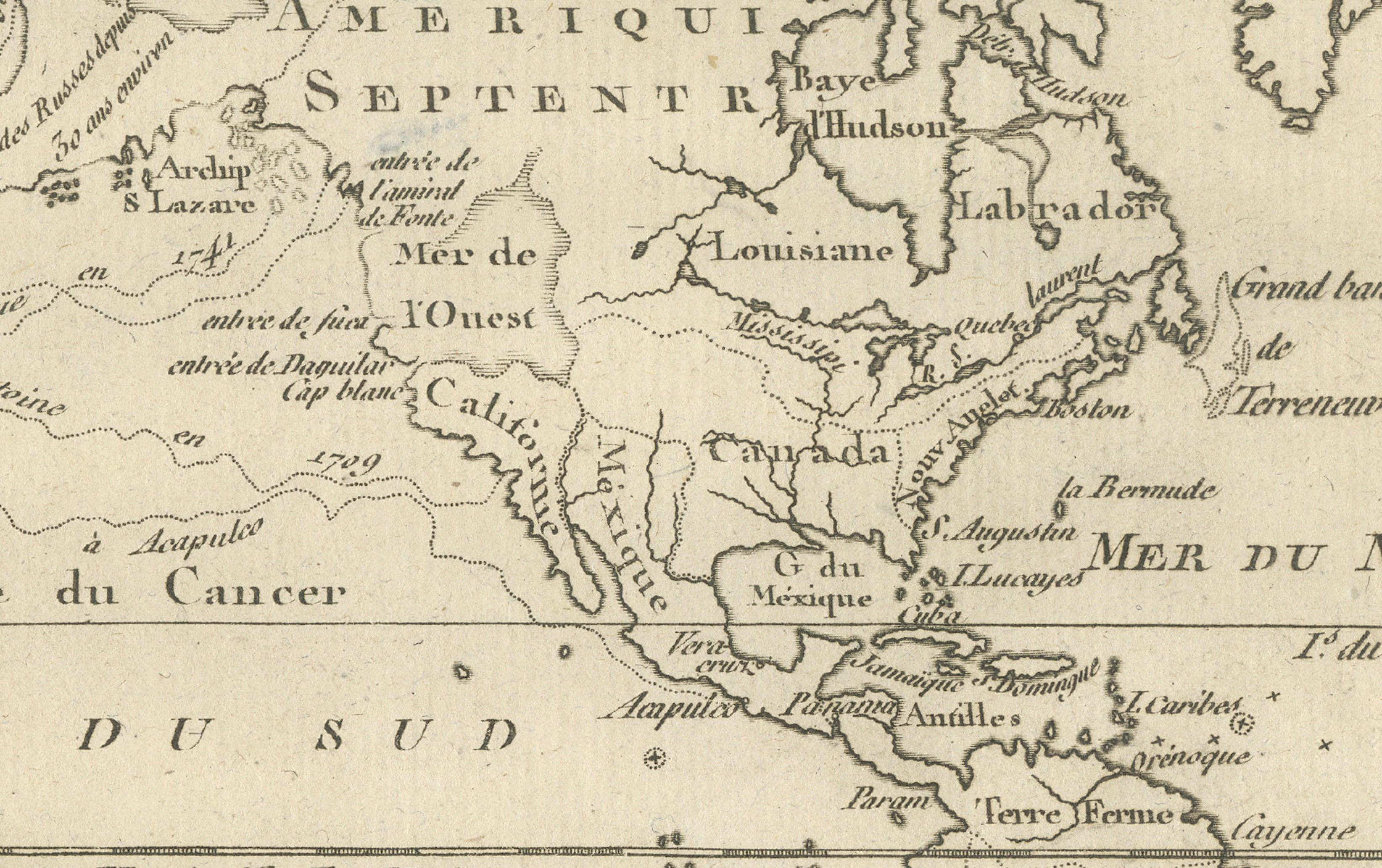
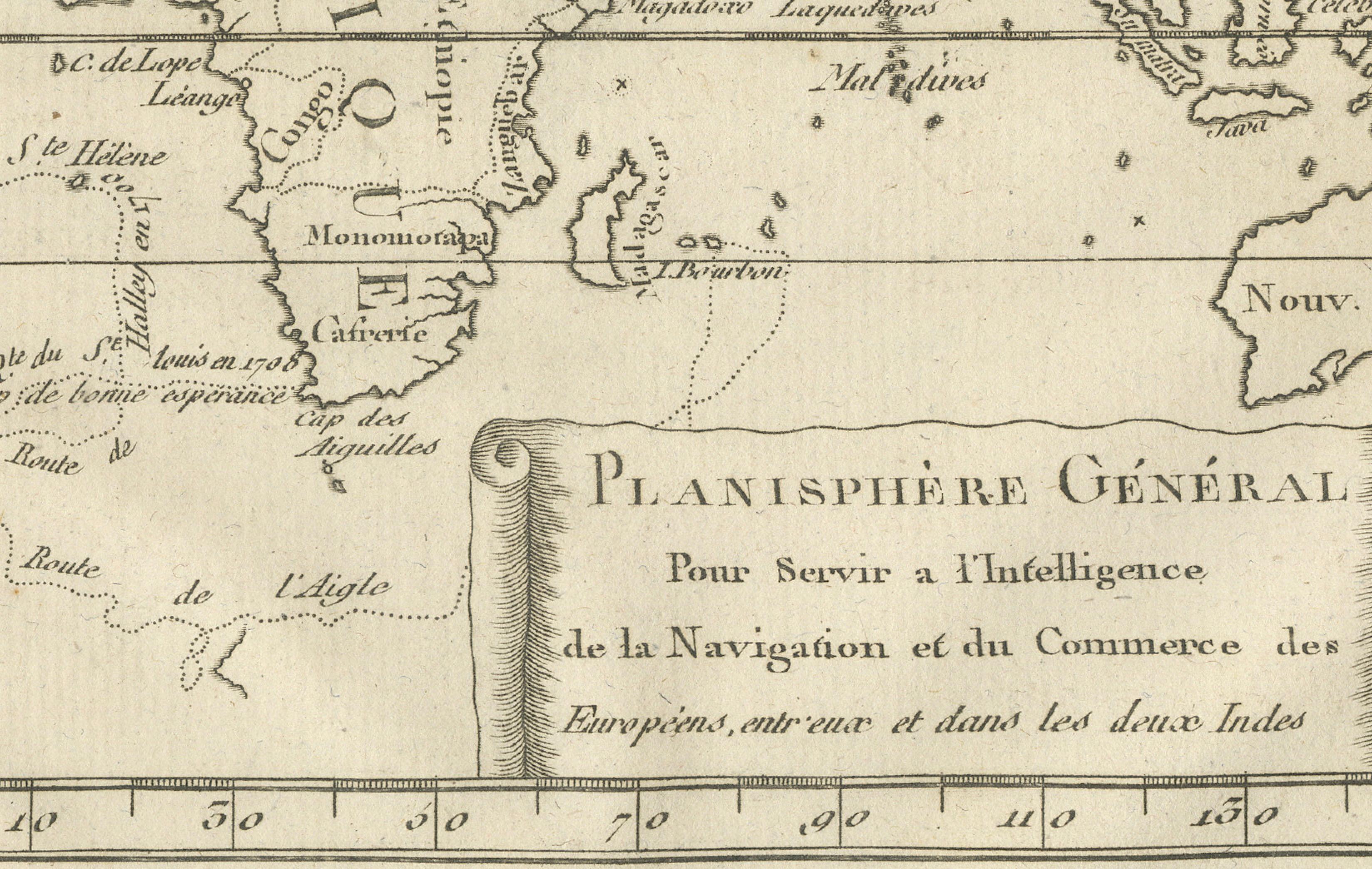
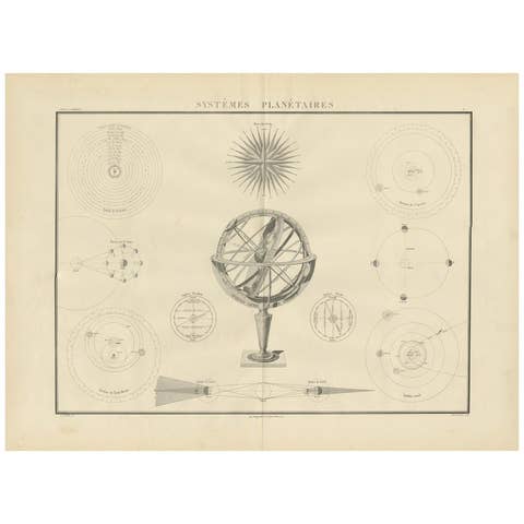
General World Planisphere for Navigation & Trade – Bonne c.1780
€ 370
One of a kind: this is the sheet in the photographs. Ships from Langweer, the Netherlands.
Date
1780
Sheet size
26 × 41 cm (10.2 × 16.1 in)
Condition
Good
Reference
BG-14105-2
Condition
Even age toning. Central fold as issued. Light marginal wear and scattered foxing.
About this sheet
General World Planisphere for Navigation & Trade – Bonne c.1780
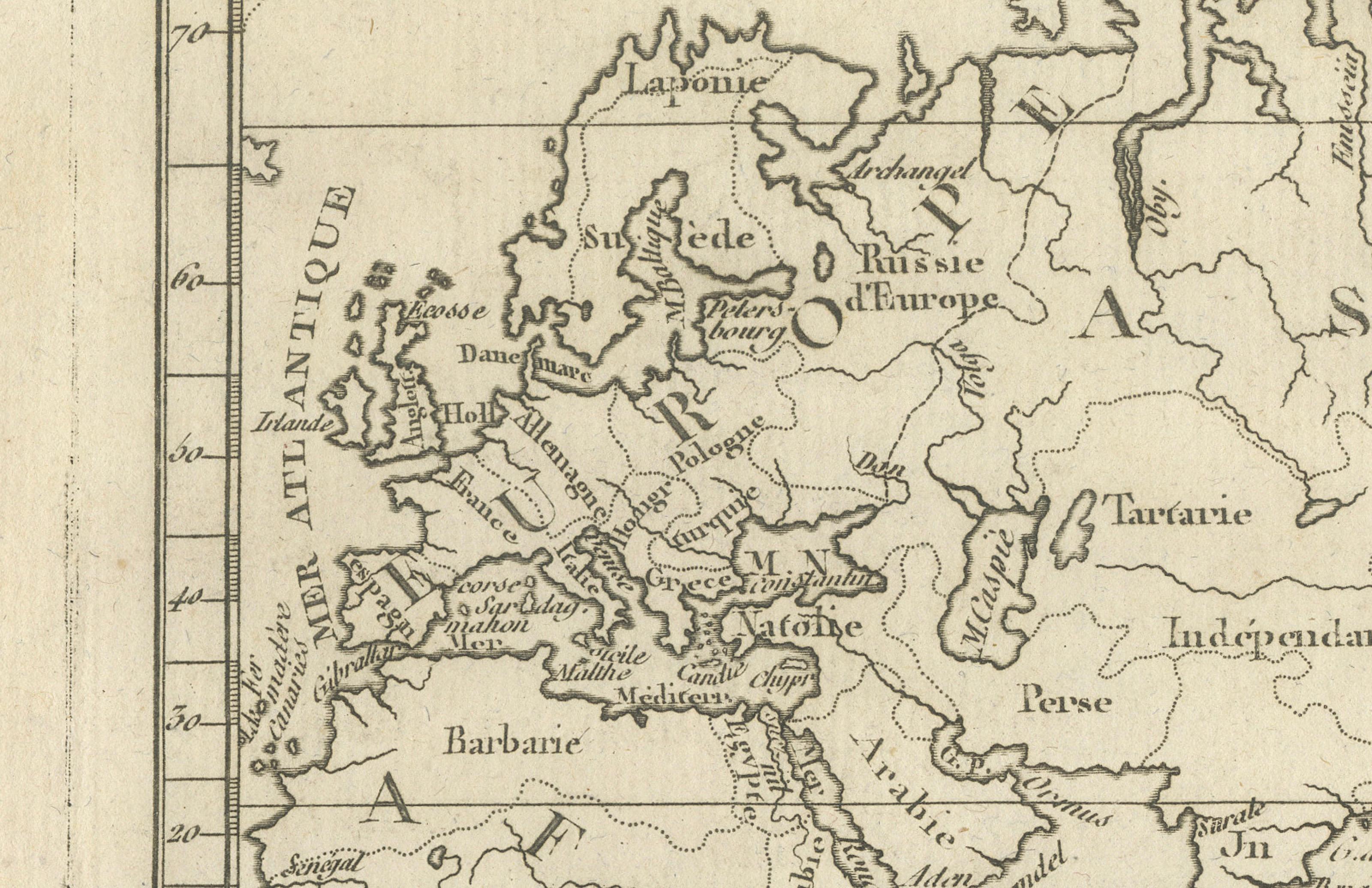
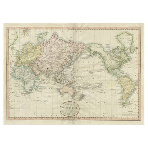
DESCRIPTION This large planisphere presents a unified view of the world designed to support navigation, commerce, and geographic understanding. Produced by Rigobert Bonne, it emphasizes oceans, wind systems, and latitudinal zones over decorative elements. The Atlantic, Indian, and Pacific Oceans dominate the composition, underscoring maritime connectivity between Europe, Africa, the Americas, and Asia. Coastlines are carefully articulated, while inland regions reflect selective knowledge based on exploration and trade contact. Intended for merchants, naval officers, and educated readers, the map reflects Enlightenment values of utility and precision. Today it serves as both a historical document of global trade awareness and a refined interior piece with strong horizontal presence.
KEYWORDS World planisphere, maritime trade routes, Atlantic crossings, East Indies routes, Cape of Good Hope, Pacific navigation, global commerce
CONDITION REPORT Even age toning. Central fold as issued. Light marginal wear and scattered foxing.
FRAMING TIPS Linen or light grey mat with thin black, bronze, or dark wood frame to emphasize structure.
Technique: Engraving Maker: Rigobert Bonne, France, circa 1780