About this sheet
Hand-Colored Dutch Map of Ancient Israel Divided by the Twelve Tribes – After Ezekiel, c.1730
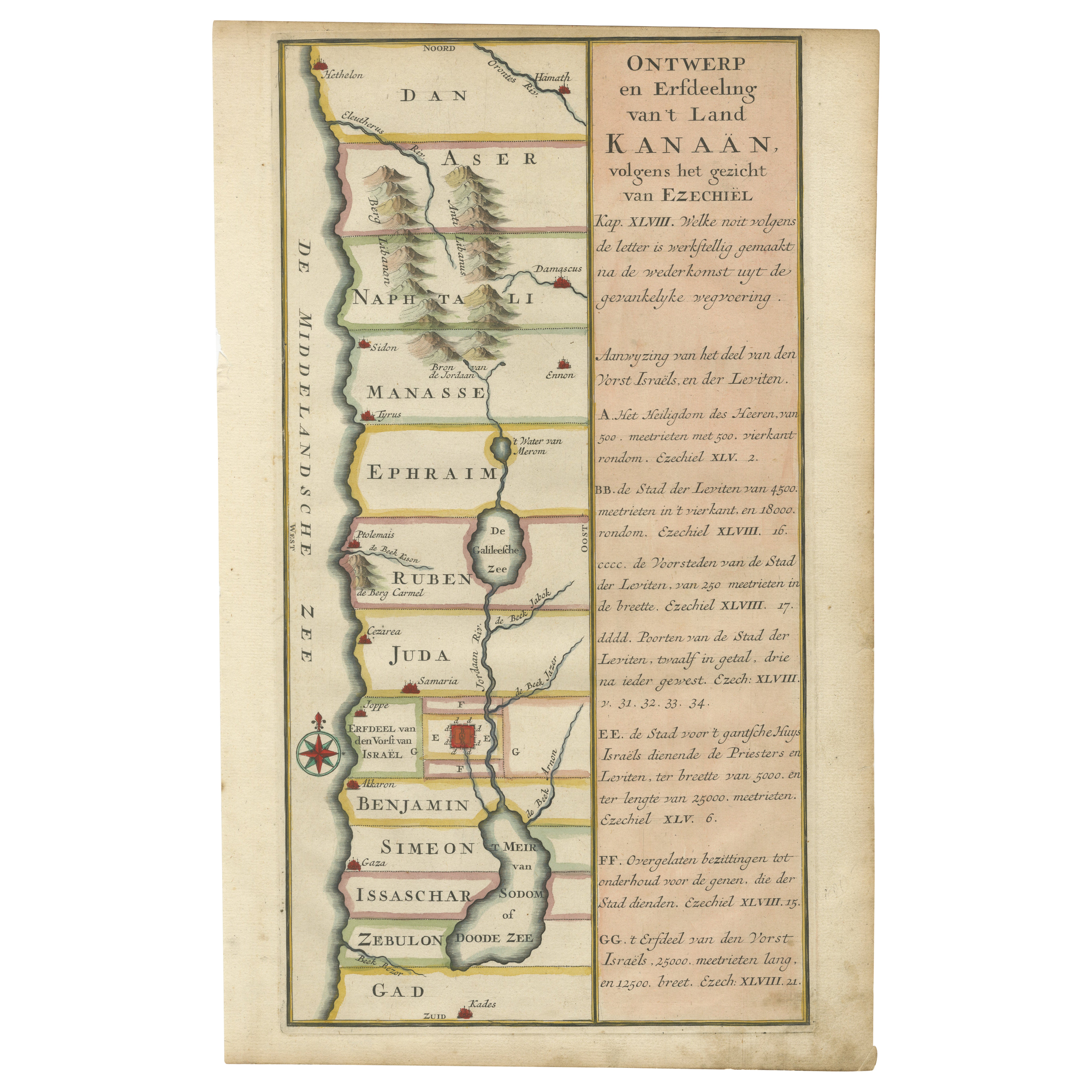
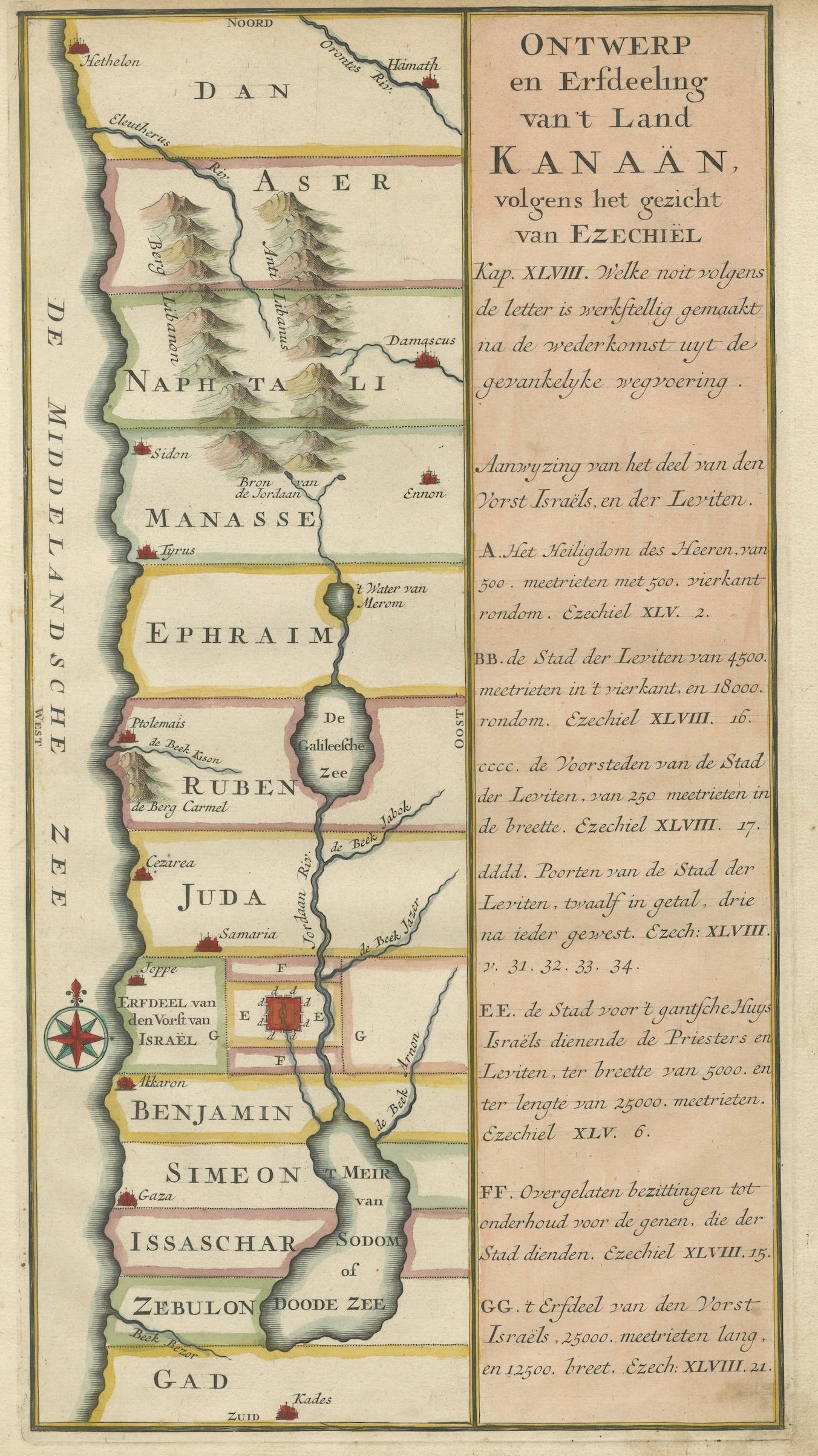
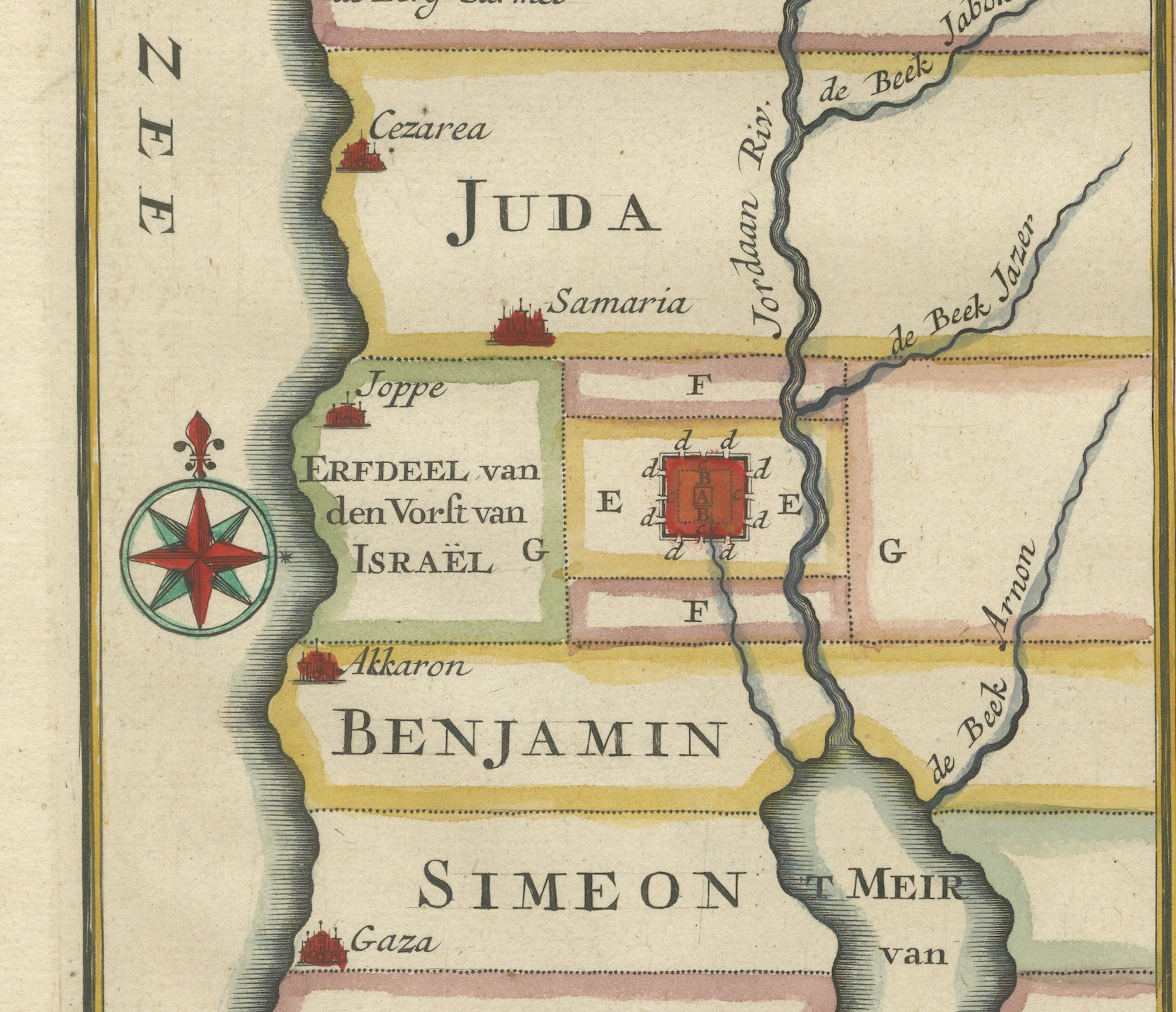
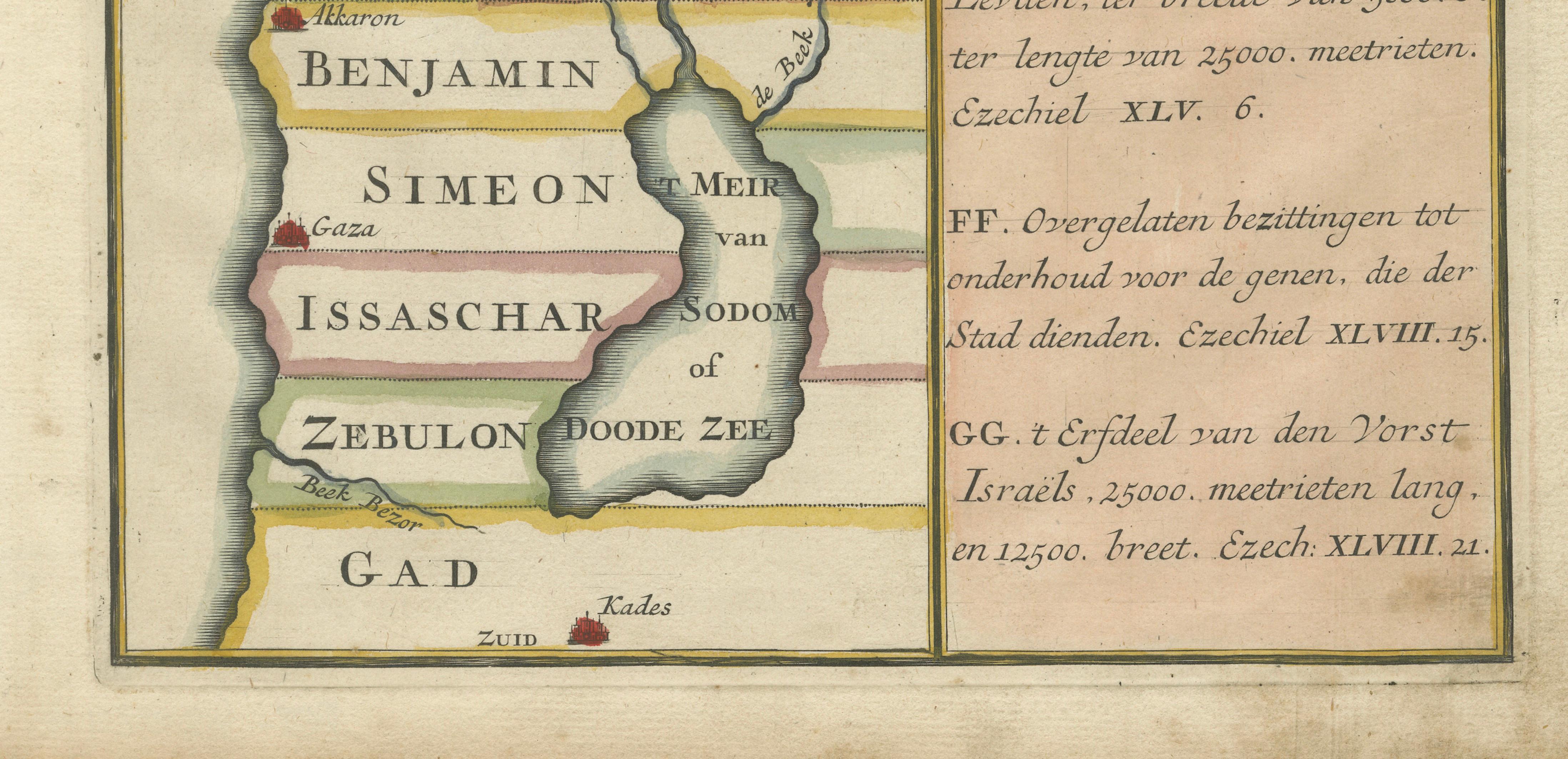
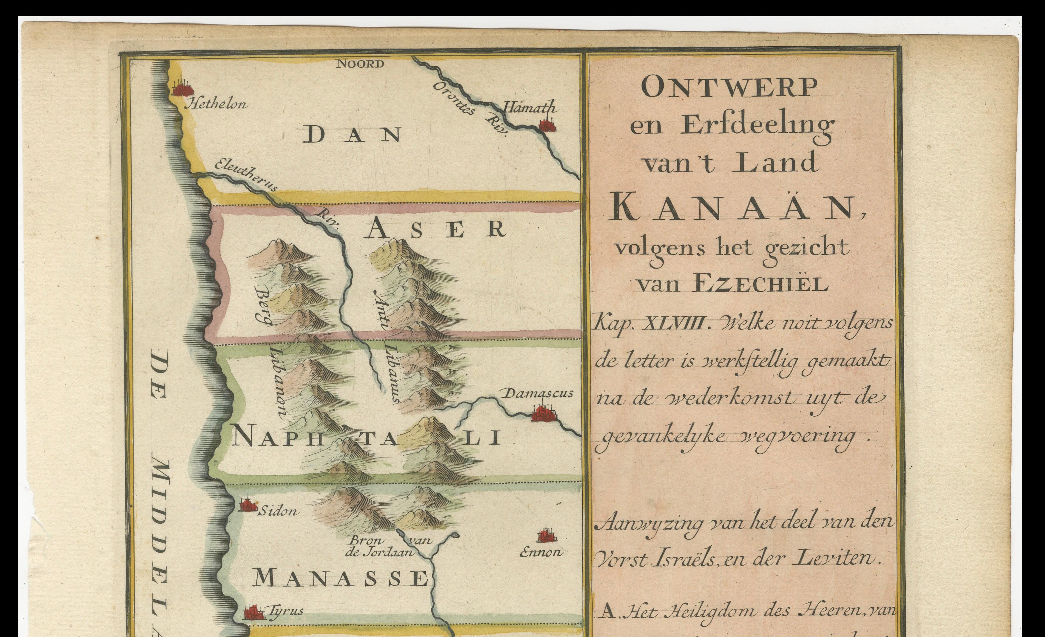
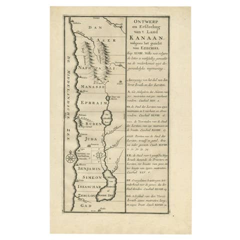
This beautifully hand-colored antique map is titled "Ontwerp en Erfdeeling van’t Land Kanaan, volgens het gezicht van Ezechiel," which translates to "Design and Division of the Land of Canaan, according to the vision of Ezekiel." Published around 1730, the map presents a theological reconstruction of the Holy Land based on the prophetic descriptions found in the Book of Ezekiel, particularly chapters 45 through 48.
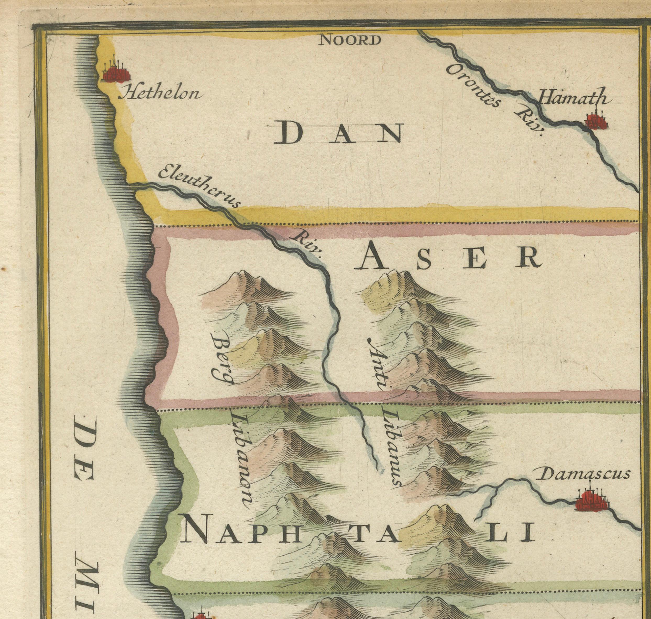
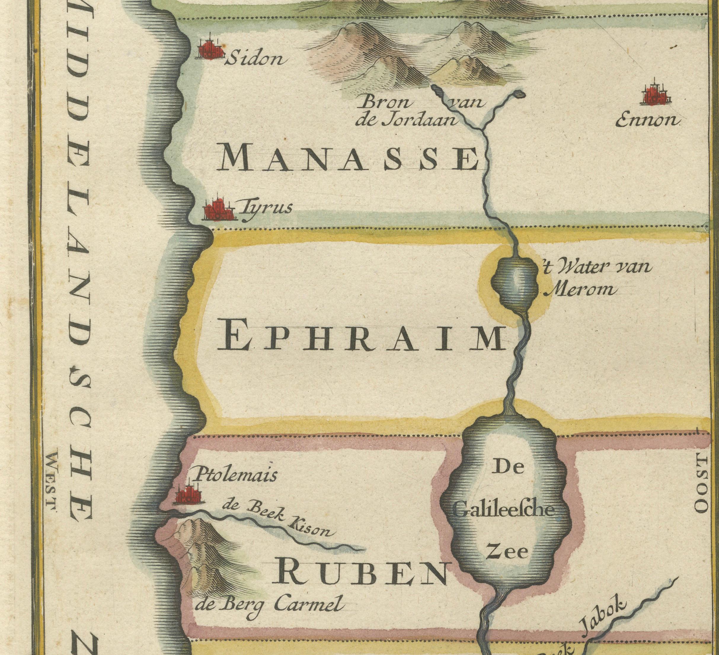
The map depicts ancient Israel from Hethelon in the north to Kades in the south, laid out in horizontal bands representing the territories of the Twelve Tribes of Israel. These include Dan, Aser, Naphtali, Manasse, Ephraim, Ruben, Juda, Benjamin, Simeon, Issachar, Zebulon, and Gad. Important cities are marked, such as Jerusalem, Gaza, Caesarea, Sidon, Damascus, Tyrus, and Samaria. Key geographical features like the Sea of Galilee (De Galilese Zee), the River Jordan, and the Dead Sea (Doode Zee) are also shown.
The left portion of the map includes attractive topographical details such as stylized mountain ranges, rivers, and a decorative compass rose. On the right, a wide panel of explanatory text in Dutch offers references to the verses in Ezekiel that inspired the layout of the land, providing a theological guide to the visual representation.
This map combines cartographic skill with religious interpretation, and the fine hand coloring enhances its clarity and appeal. Each tribal area is filled with soft tones that help distinguish the boundaries, making the map both informative and visually engaging. It reflects 18th-century Dutch biblical scholarship and religious cartography.
Condition:
Very good condition. Crisp impression with fine original hand coloring. Minor age toning around the edges. No tears or repairs, but top margin short cut.
Framing suggestion:
This map would look elegant in a black or gold wooden frame with a cream or parchment-colored mat. Ideal for display in a library, study, or as part of a collection of biblical, Judaica, or antique maps. Use museum-grade glass to protect the color and paper.