About this sheet
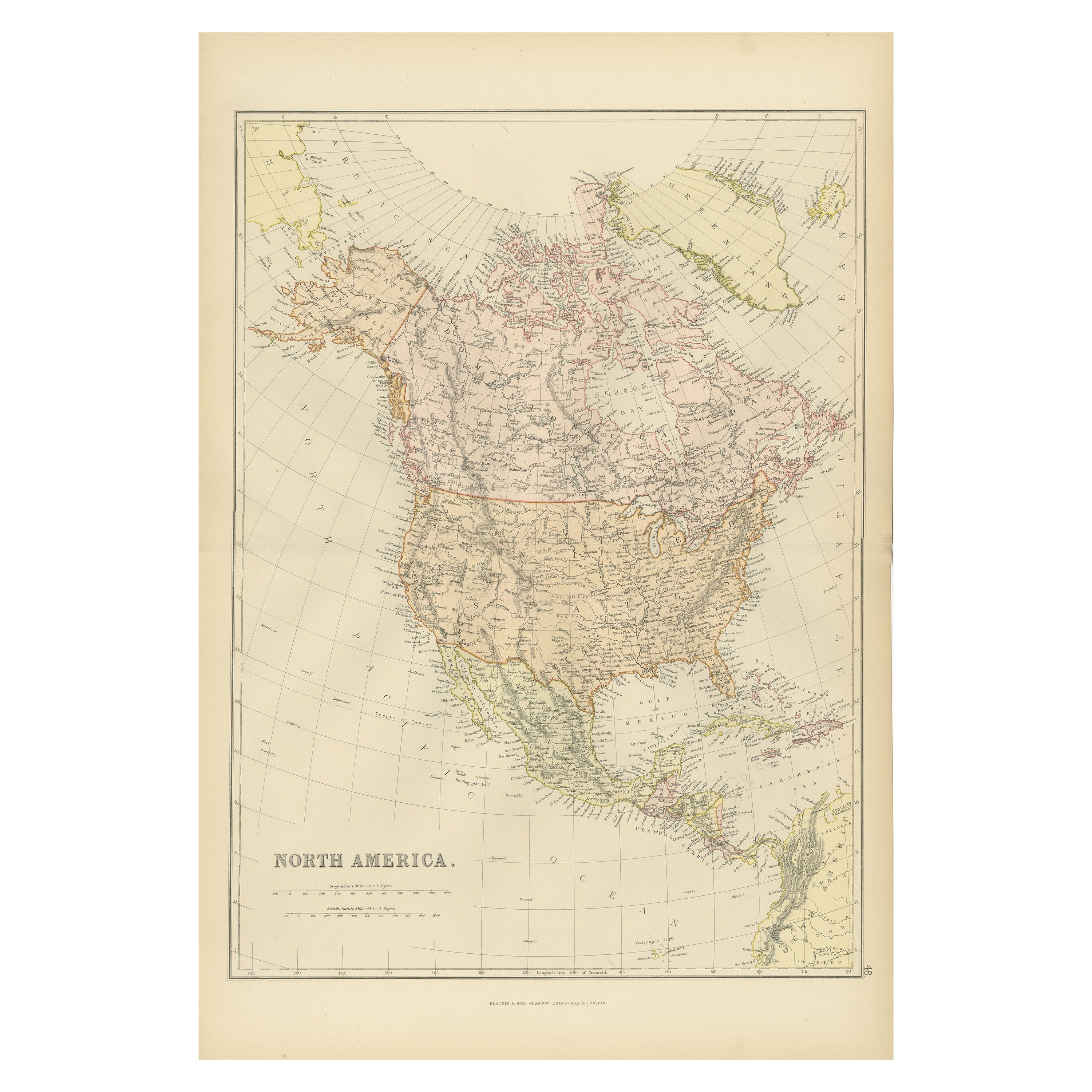
North America, Antique Map, United States, Canada and Mexico, Blackie 1860
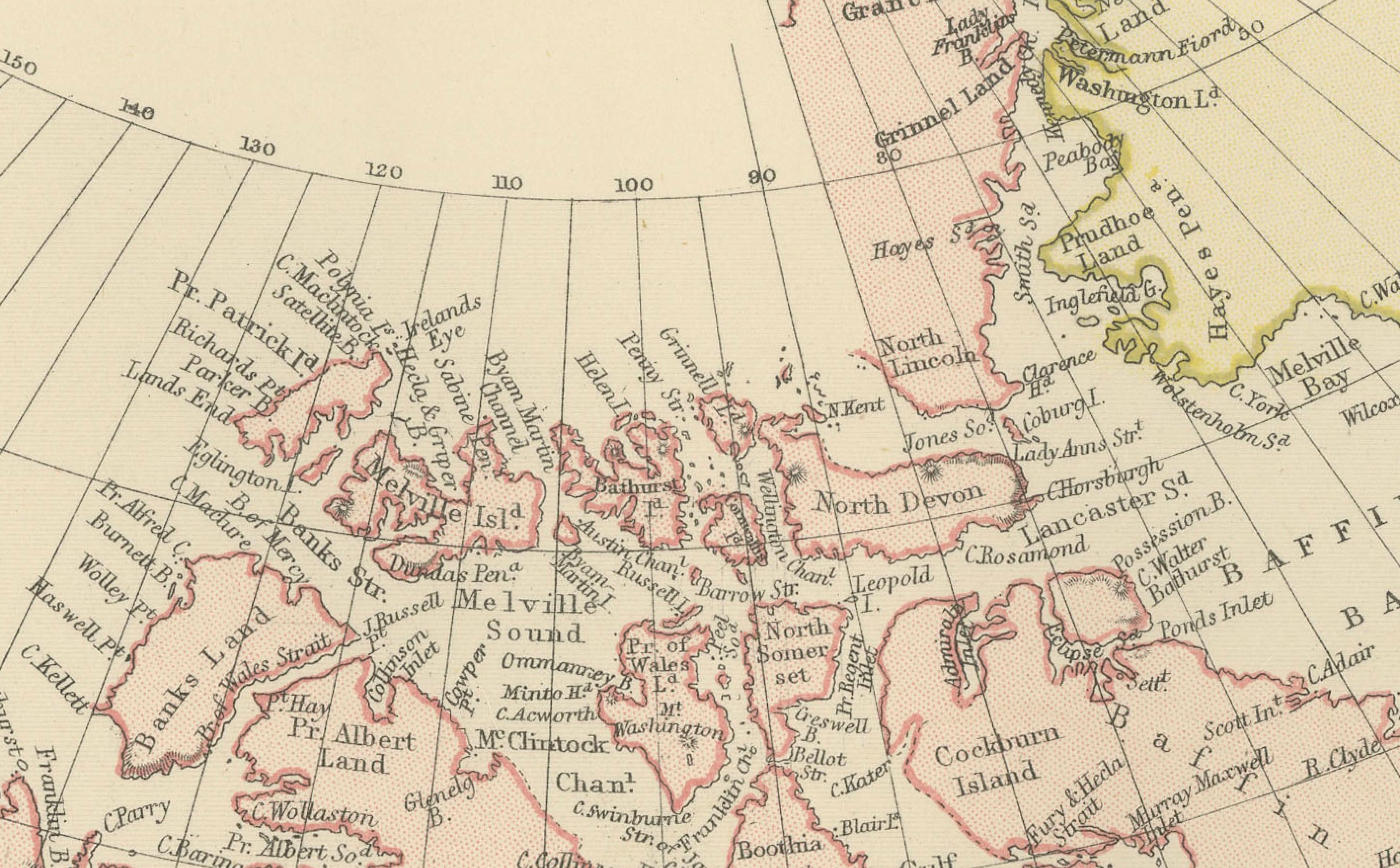
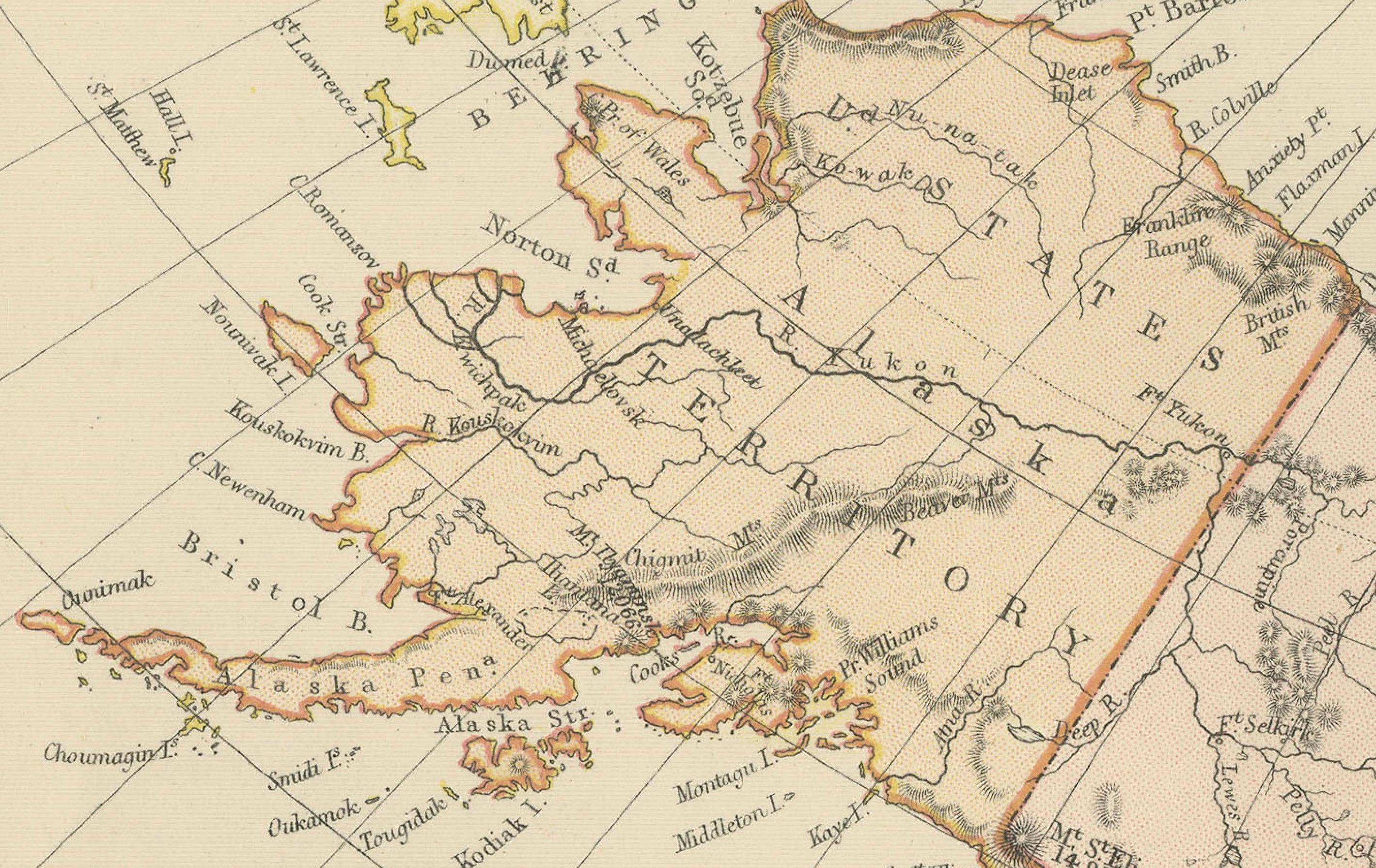
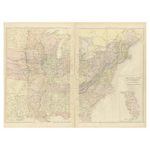
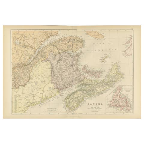
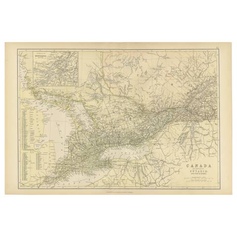
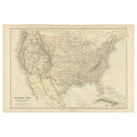
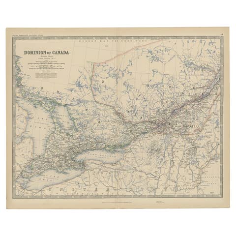
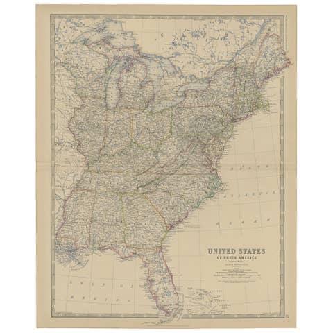
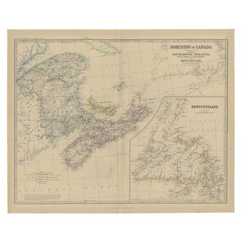
This original antique map titled *North America* presents a comprehensive mid-19th-century view of the North American continent, extending from the Arctic regions of British North America to Mexico and Central America. The map originates from The Imperial Atlas of Modern Geography and was published in 1882 by W. G. Blackie, one of the foremost British atlas publishers of the Victorian period.
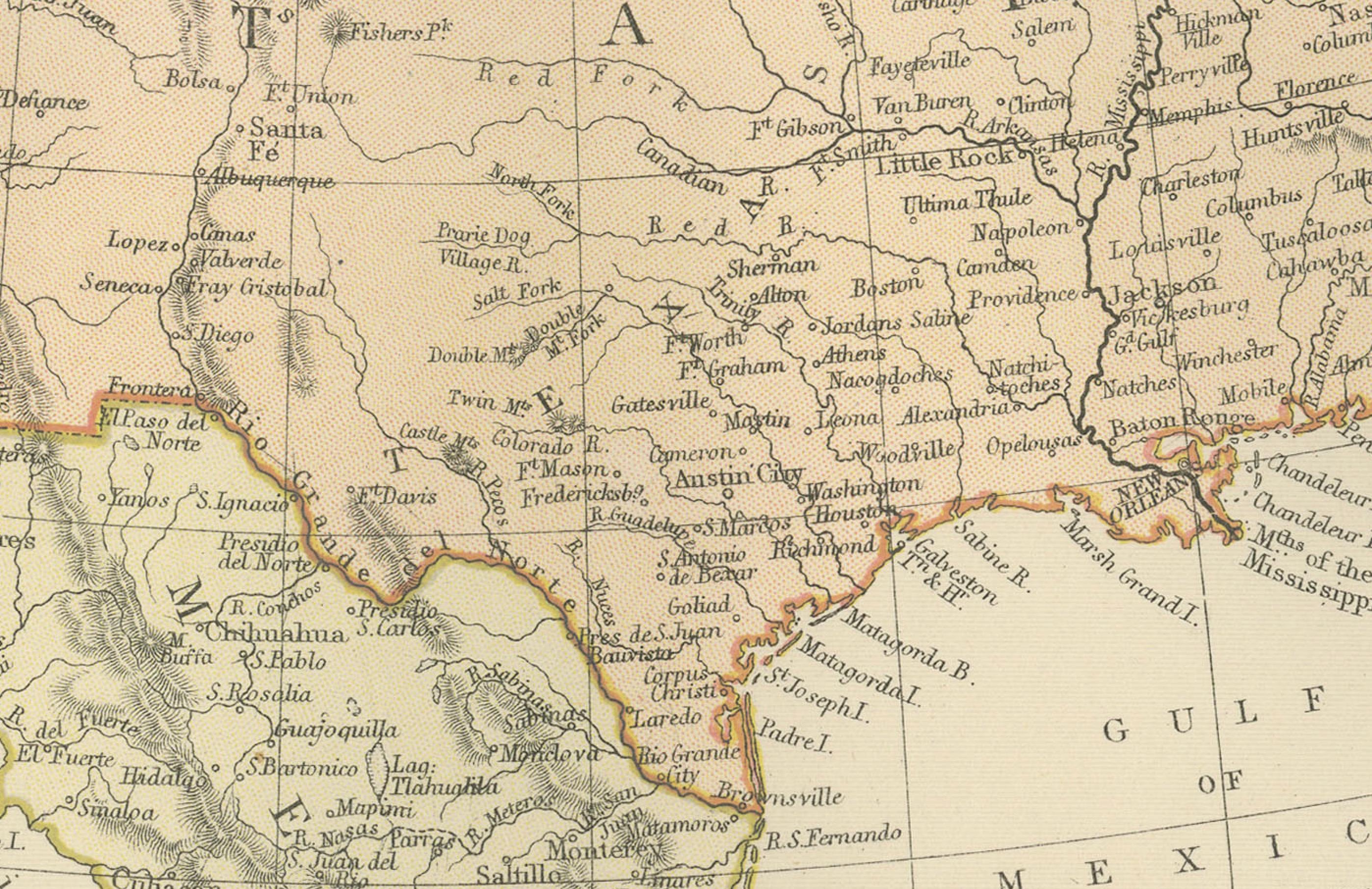
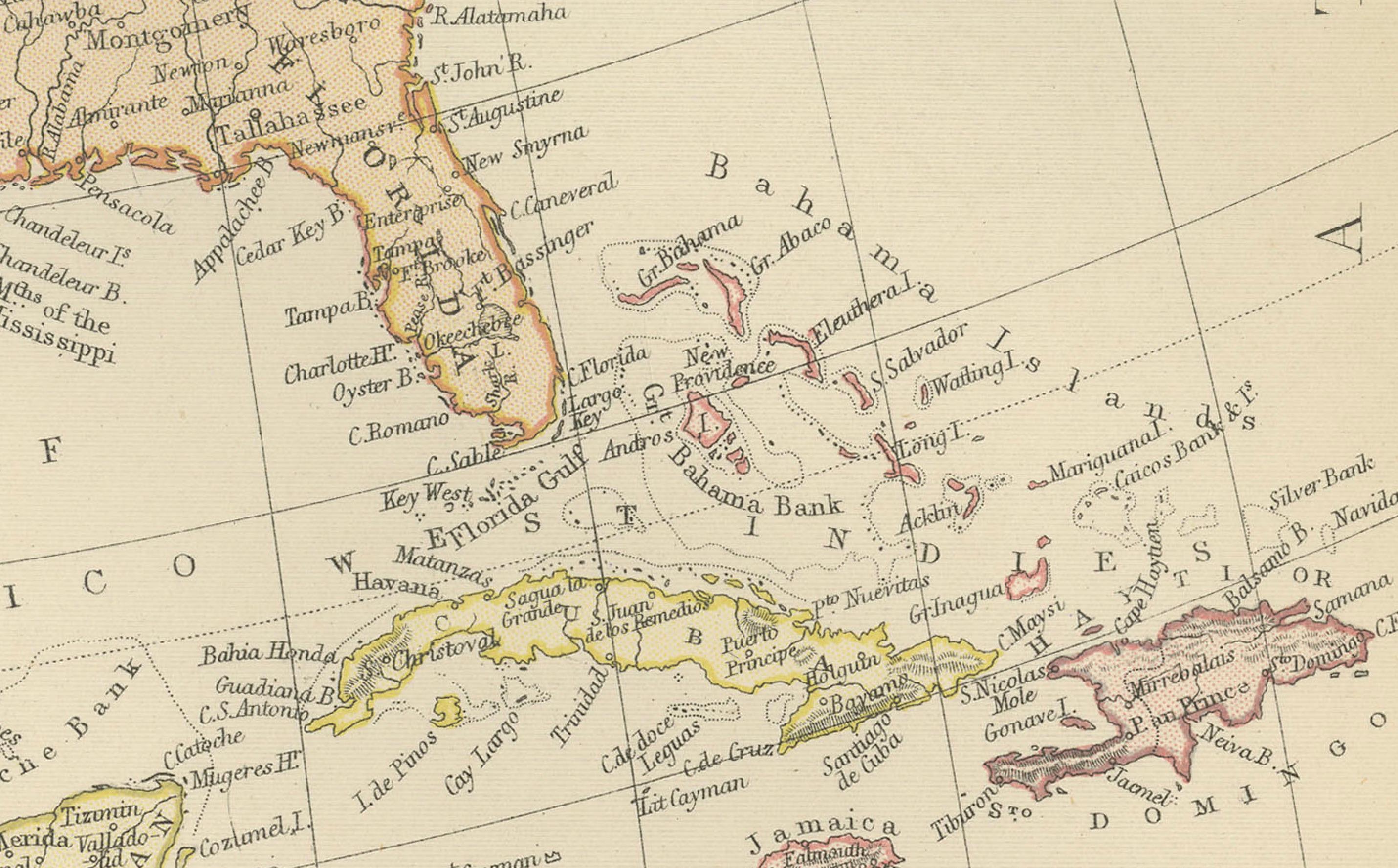
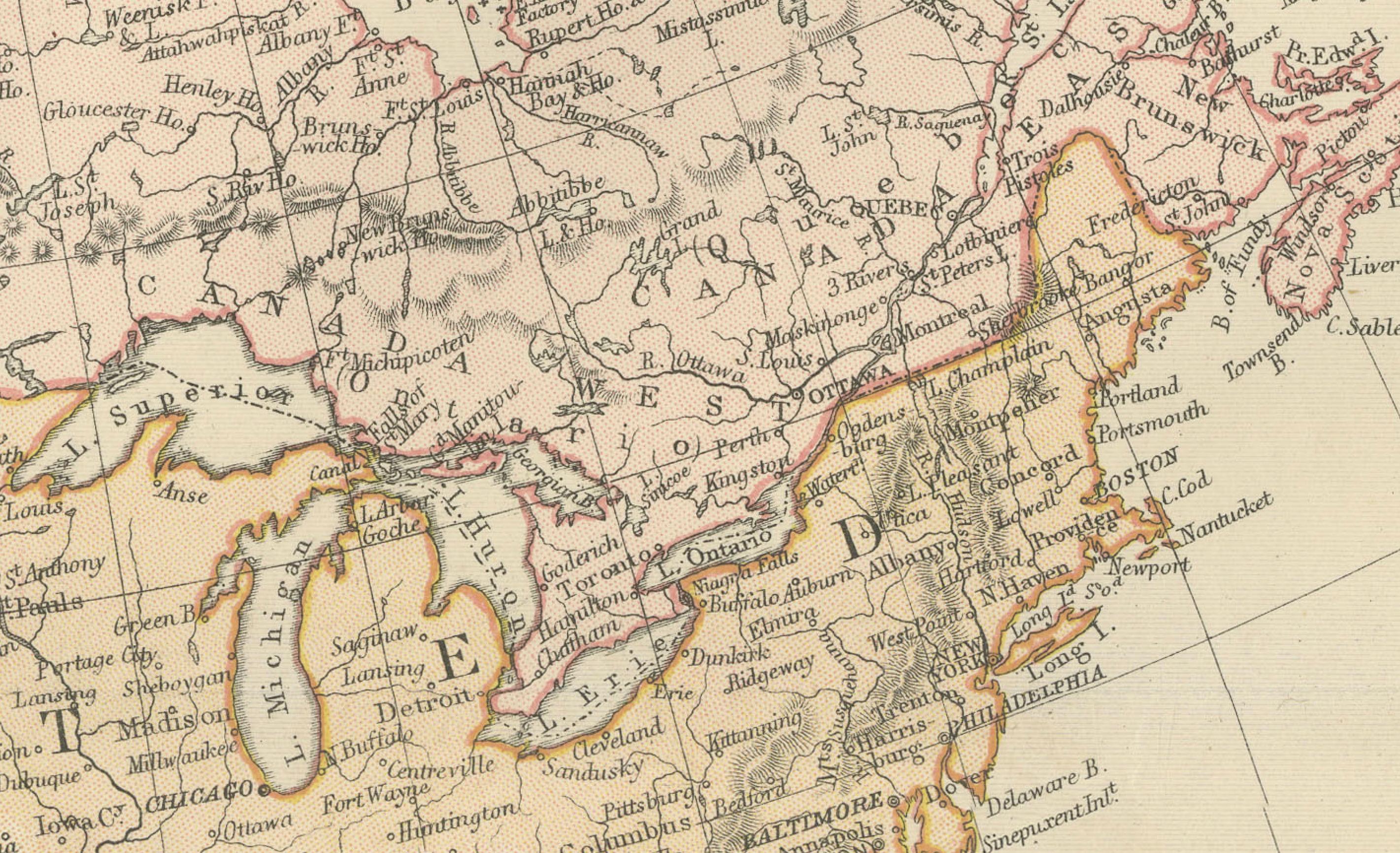
The map depicts British North America (Canada), the United States, Mexico, and parts of Central America, with political boundaries clearly defined in original hand coloring. Major geographic features such as the Rocky Mountains, Appalachian Mountains, Great Plains, Great Lakes, and extensive river systems are finely engraved. Coastlines along the Atlantic, Pacific, Gulf of Mexico, and Arctic seas are carefully delineated, emphasizing North America’s maritime connections.
The United States is shown with state boundaries reflecting the pre–Civil War era, while Canada appears as a vast British colonial territory prior to Confederation. Mexico and Central America are rendered with equal care, illustrating contemporary European understanding of political divisions and geography. The map balances dense inland detail with open ocean areas, giving it both clarity and strong decorative presence.
As a continental map, this sheet reflects 19th-century interests in exploration, territorial expansion, trade routes, and imperial geography. Its refined engraving, subtle original coloring, and impressive scale make it equally appealing to collectors of American and Canadian cartography and to interior designers seeking a large, historically grounded wall map.
Condition report:
Good antique condition. Light overall age toning consistent with age. Minor scattered foxing and light handling marks, mostly visible in the margins. Original central fold as issued. No major tears or losses.
Framing tips:
A wide ivory or warm cream mat will enhance the engraved detail and original hand coloring. A dark walnut, black, or understated antique gilt frame complements the map’s academic and exploratory character. Museum or UV-protective glass is recommended.
Technique: Copper engraving with original hand coloring
Maker: W. G. Blackie, Scotland, 1882
Keywords:
North America map, antique North America map, North America 1882, United States map, Canada map, Mexico map, Central America map, British North America, pre Confederation Canada, United States territories, pre Civil War map, Arctic Canada, Hudson Bay, Great Lakes, St Lawrence River, Mississippi River, Missouri River, Ohio River, Rocky Mountains, Appalachian Mountains, Great Plains, Pacific Coast, Atlantic Coast, Gulf of Mexico, Alaska proximity, Russian America, Labrador, Newfoundland, Mexico City, California, Texas, New York, Washington DC, colonial cartography, continental map, 19th century atlas, Victorian atlas, Blackie atlas, Imperial Atlas, copper engraved map, hand colored map, historical geography, exploration era, territorial expansion, trade routes, maritime routes, educational atlas, antique wall map, large format map, interior design art, collector map, American history, Canadian history