About this sheet
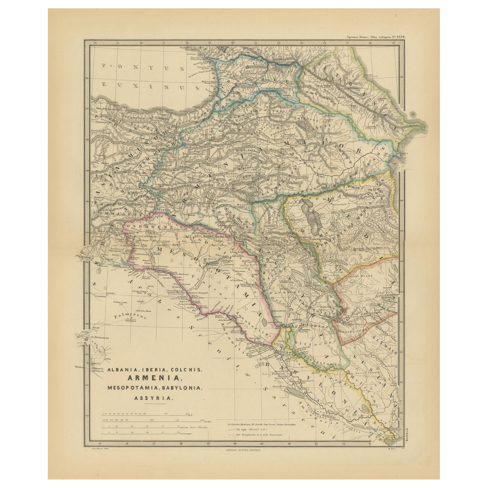
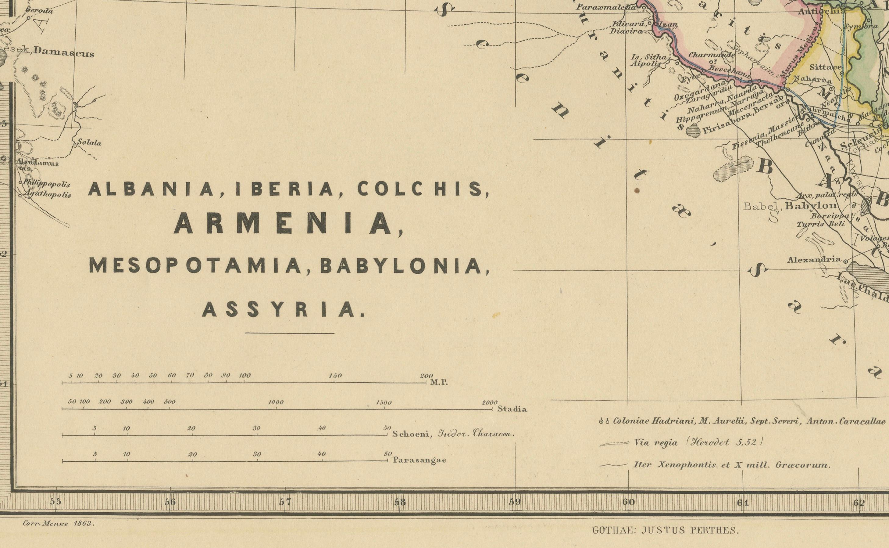
The map titled "ALBANIA, IBERIA, COLCHIS, ARMENIA, MESOPOTAMIA, BABYLONIA, ASSYRIA" portrays the ancient regions that would encompass parts of modern-day Eastern Turkey, Armenia, Azerbaijan, Georgia, Iran, Iraq, and Syria.
Some interesting facts of this original antique map:
1. **Ancient Civilizations**: It covers the heartland of some of the oldest civilizations in the world, including Assyria, Babylonia, and Armenia, with a history that stretches back thousands of years.
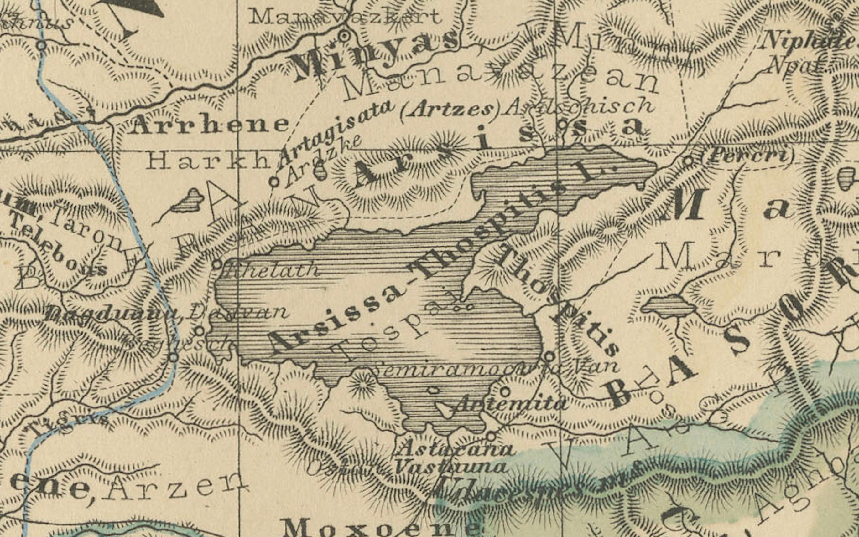
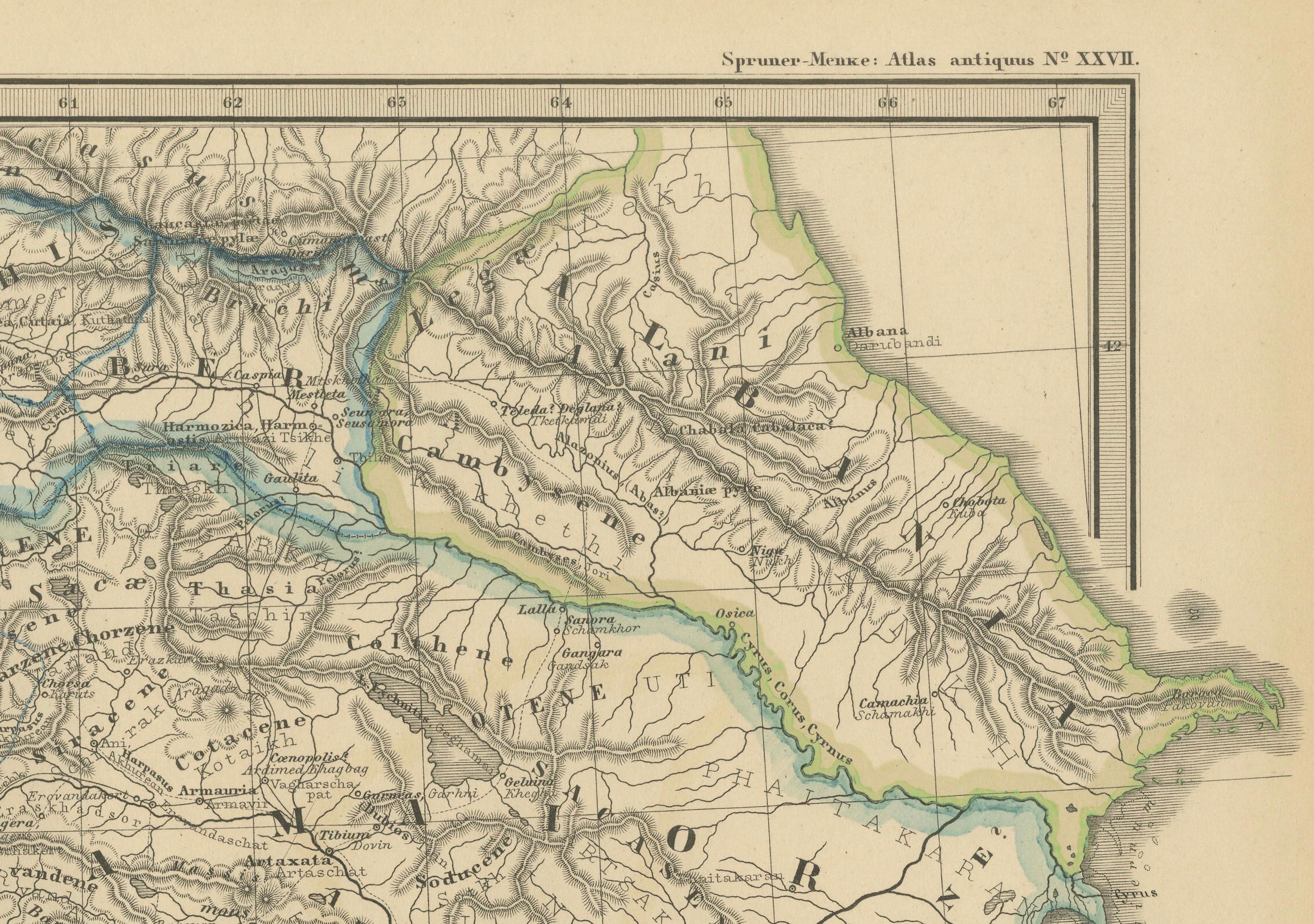
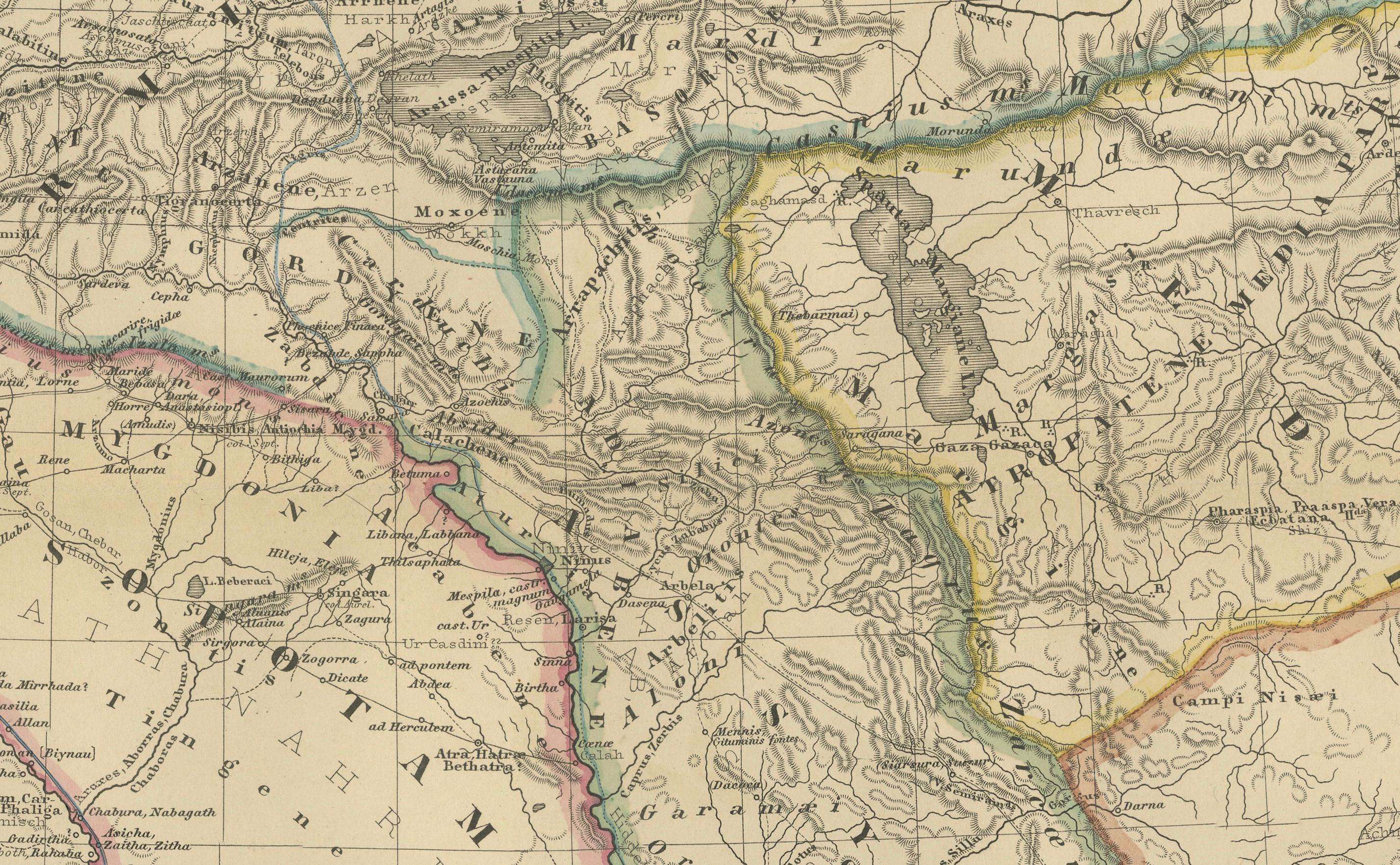
2. **Geographical Features**: The map shows significant geographical features such as the Tigris and Euphrates rivers, the Caucasus mountain range, and the Black Sea (Pontus Euxinus), which were crucial to the development and sustenance of these civilizations.
3. **Historical Routes**: It likely outlines ancient trade routes, such as the Silk Road and other lesser-known paths that facilitated the movement of goods, armies, and ideas.
4. **Political Boundaries**: The boundaries indicated may reflect the political situation during various periods, such as the Assyrian Empire, the Kingdom of Armenia, or the Hellenistic states following Alexander the Great's conquests.
5. **Inset Maps**: If any, would provide a closer look at specific regions, illustrating the detailed knowledge of the area's geography during the time of the map's creation.
6. **Latin Labels**: The use of Latin in labeling and descriptions is characteristic of scholarly works of the 19th century, emphasizing the map's academic and educational purpose.
The period the map likely represents is the classical antiquity, particularly the era of Roman geopolitical interest in these regions, which might range from the 1st millennium BC to the first few centuries AD. This map would be of particular interest to those studying the ancient Near East and the complex interplay of cultures, empires, and trade that characterized the region.
The map is from the "Spruner-Menke Atlas Antiquus," which is a historical atlas created by Karl Spruner von Merz, and later edited by Theodorus Menke. The atlas is known for its detailed maps of historical geographic regions, rendered with great precision and accompanied by scholarly research. These maps were particularly designed for educational use, providing a visual aid for the study of historical and ancient geography. The "Spruner-Menke Atlas Antiquus" is considered a significant work in the field of historical cartography and was published in the late 19th century.