About this sheet
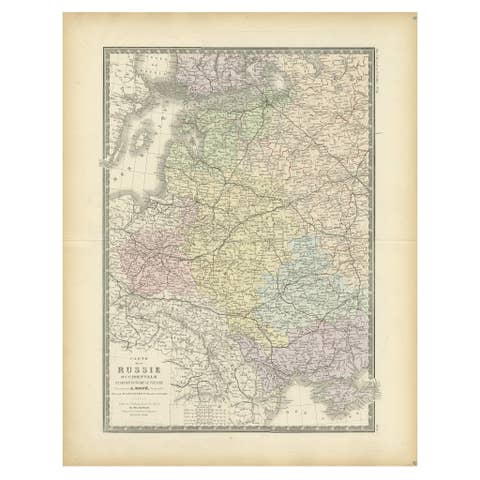
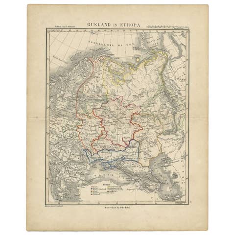
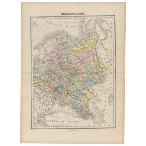
European Russia Map with Saint Petersburg Inset – Nieuwe Hand-Atlas, 1876
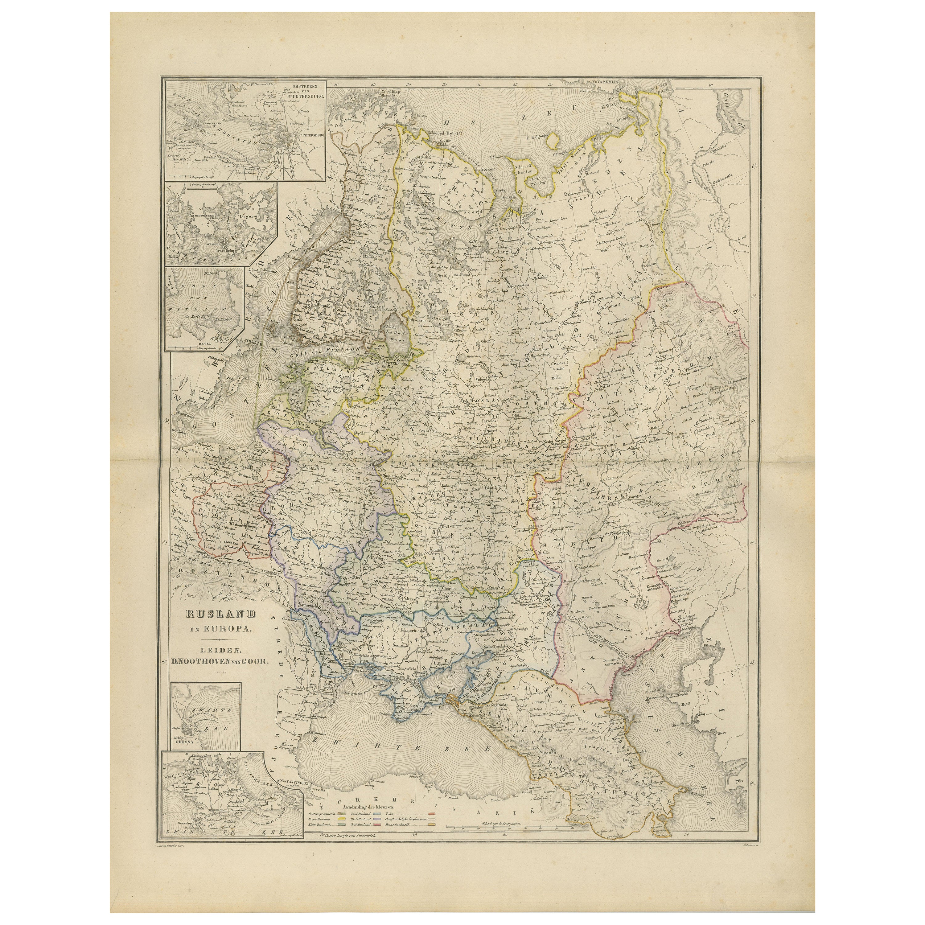
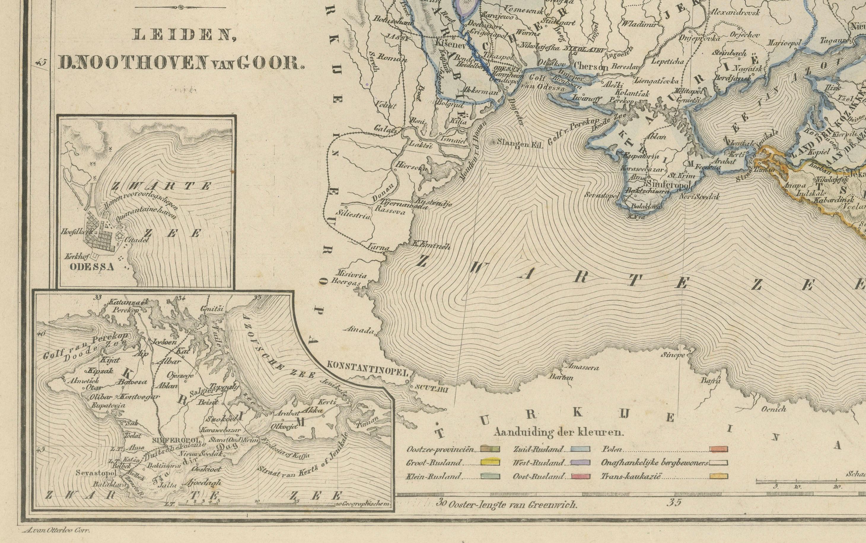
This finely engraved 19th-century map titled “Rusland in Europa” presents the western portion of the Russian Empire as it appeared in the late 19th century, shortly before the sweeping political changes of the early 20th century. Published in 1876 in the Nieuwe Hand-Atlas der Aarde in haren Tegenwoordigen Toestand by M. Frijlink, revised by A. van Otterloo and issued by D. Noothoven van Goor in Leiden, the map offers a detailed geographic portrait of one of the most expansive and influential empires of its time.
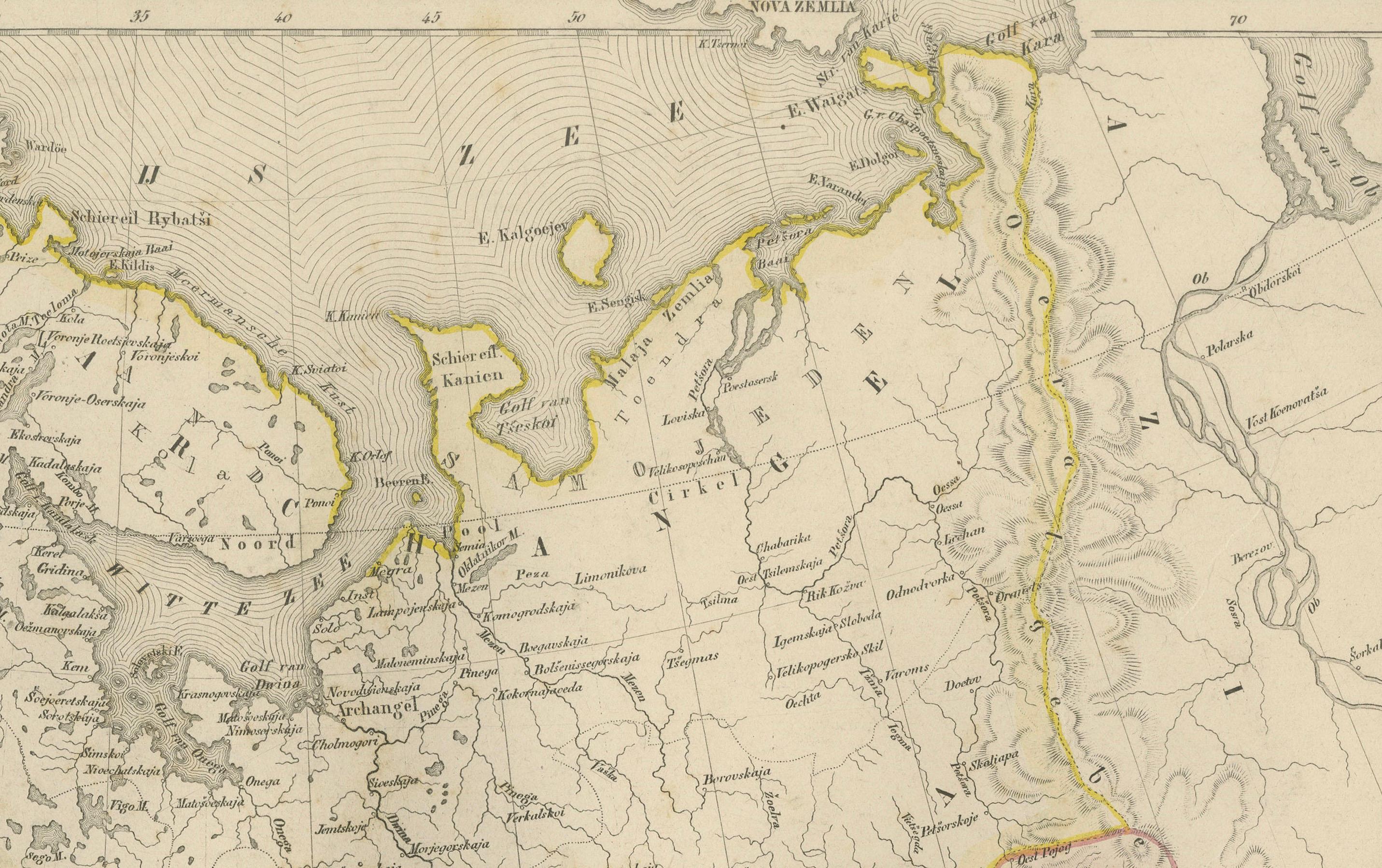
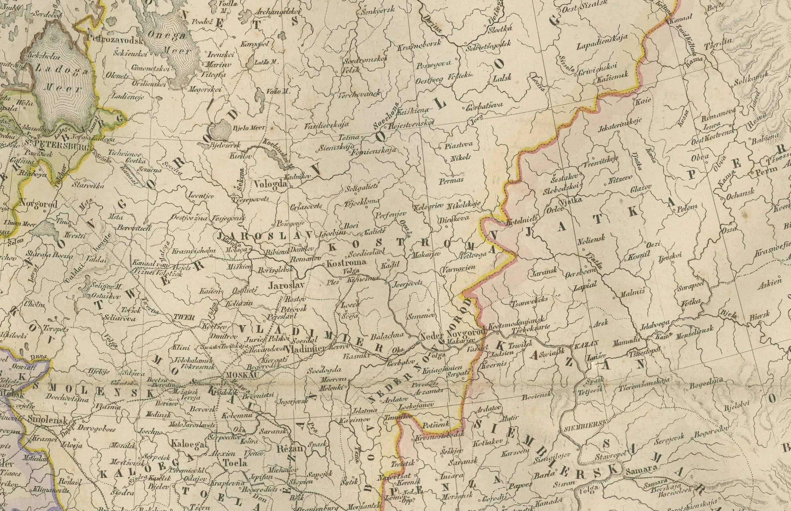
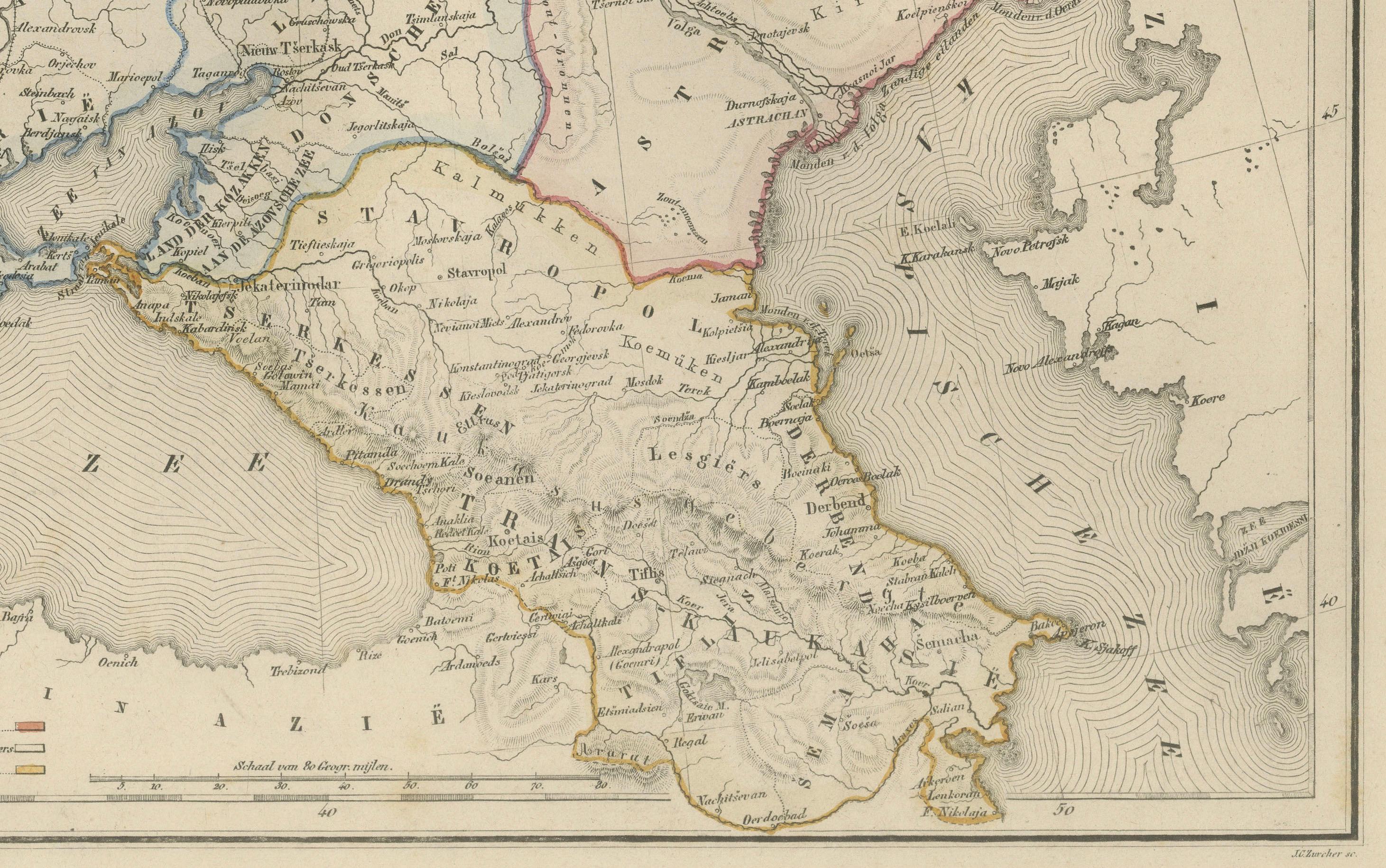
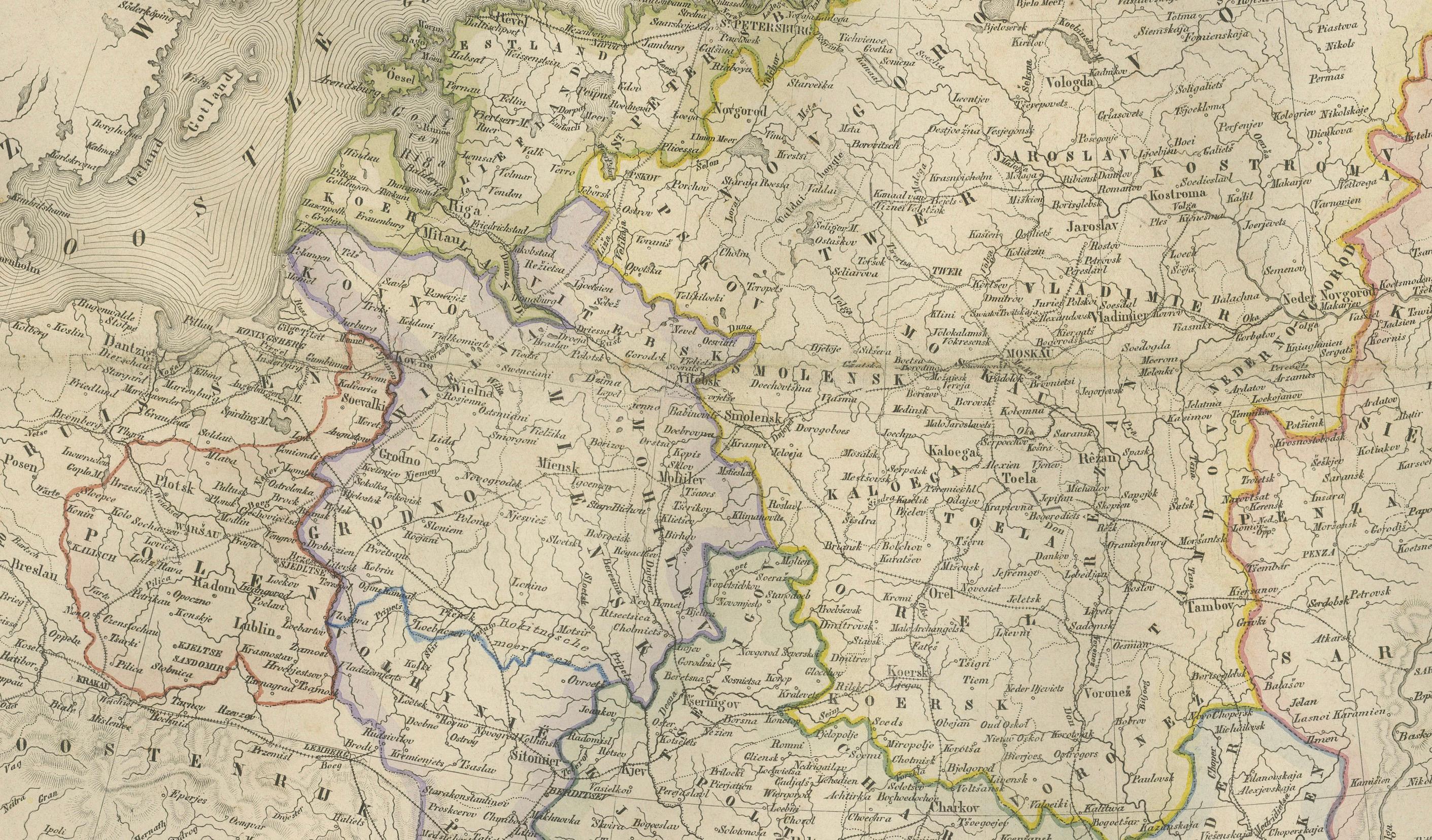
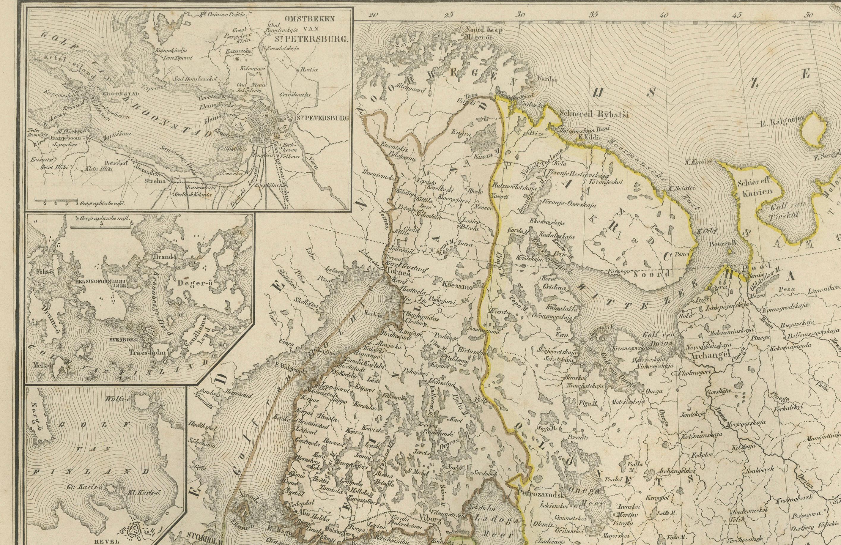
The map covers all of European Russia, extending from the Baltic Sea and Finland in the north to the Black Sea and the Caucasus in the south, and from Poland and Galicia in the west to the Ural regions marking the border with Asia. Major cities including Saint Petersburg, Moscow, Kiev, Odessa, Riga, Vilna, Kazan, Astrakhan, Tiflis (Tbilisi), and Sevastopol are clearly labeled, along with hundreds of provincial towns, rivers, and administrative boundaries.
Hand-colored outlines indicate the borders of historic regions such as Courland, Livonia, Lithuania, Belarus, Ukraine, Crimea, the Don Cossack territories, the Caucasus provinces, and the governments of Novgorod, Smolensk, Tambov, Saratov, and others. The dense network of rivers—including the Dnieper, Volga, Don, Neva, and Dniester—is precisely rendered, illustrating the importance of waterways to Russian trade, military movement, and communication.
Inset maps deepen the context: one details Saint Petersburg with its canals, fortifications, and early railway lines; another inset highlights the Baltic provinces; and a southern inset depicts the Black Sea region, including Crimea and the approaches to the Caucasus.
This map reflects the Russian Empire during a period of rapid modernization and territorial consolidation. The meticulous engraving and subtle hand-coloring demonstrate the precision typical of Dutch educational cartography in the 19th century, while the balanced layout preserves clarity despite the vastness of the subject. Frijlink’s atlas was widely used in Dutch schools, and this map remains an excellent example of the era’s combination of academic rigor and aesthetic refinement.
Condition Report: Good condition overall with light toning and minor foxing in the outer margins. Original center fold as issued. The printed image is sharp, with clean lines and soft, well-preserved hand-coloring. No tears, holes, or significant defects.
Framing Tips: A light ivory or warm cream mat complements the subtle hand-coloring, while a slim black, walnut, or dark oak frame enhances the historical feel. The map’s intricate detail benefits from a slightly wider mat border, allowing space for the inset maps to be appreciated. Ideal for libraries, offices, and interiors focused on history, geopolitics, or early cartography.
Keywords:
Russia, Rusland, European Russia, Russian Empire, Saint Petersburg, Moscow, Kiev, Odessa, Riga, Vilna, Vilnius, Minsk, Kazan, Astrakhan, Tiflis, Tbilisi, Sevastopol, Crimea, Black Sea, Baltic Sea, Finland, Poland, Lithuania, Livonia, Courland, Belarus, Ukraine, Caucasus, Georgia, Armenia, Chechnya, Dagestan, Kuban, Don Cossacks, Volga River, Don River, Dnieper River, Dniester River, Neva River, Ural Mountains, Caucasus Mountains, Saint Petersburg inset, Crimea inset, Baltic inset, 19th century Russia map, 1876 Russia map, Tsarist Russia, Imperial Russia.