maps-prints.com
✦
Black Friday Sale
Friday 20 to Monday 30 November: up to 30% off original antique maps and prints
The terms
- Up to 30% off selected original antique maps and prints. Every piece is an original, printed in its own time; none is a reproduction.
- The sale runs from Friday 20 November to Monday 30 November. Sale prices shown here apply from Friday 20 November; until then pieces are sold at their regular price.
- Free FedEx shipping on qualifying orders placed on our own websites: USA, Canada, UK and Europe over $500 / €450; rest of the world over $750 / €675. Smaller orders pay our normal shipping rate.
- Orders placed from 15 to 30 November ship from 1 December, in time for Christmas. Our shipping partner is InXpress.
- Each piece is unique, so the sale is while stock lasts.
Collection:AllAmericanSea chartsMilitaryNatural historyFashionArchitectureBotanicalSacredEast Indies
Sale prices apply from Friday 20 November. Save the pieces you like with the heart and come back on Friday.
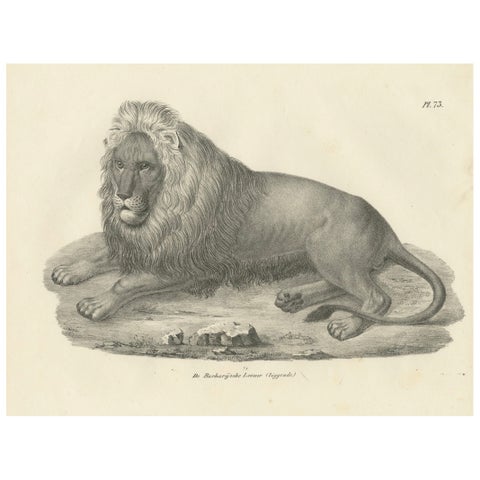 19th-Century Lithograph of the Barbary Lion in a Majestic Reclining Pose
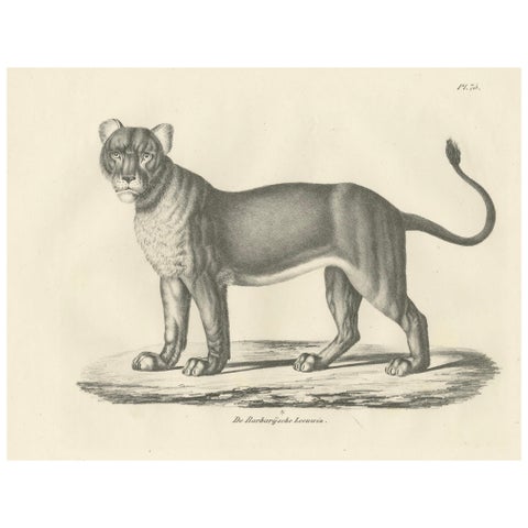 19th-Century Lithograph of the Barbary Lioness in a Powerful Standing Pose
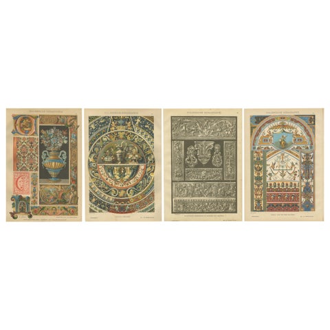 Set of Four Italian Renaissance Decorative Prints by H. Dolmetsch, 1887
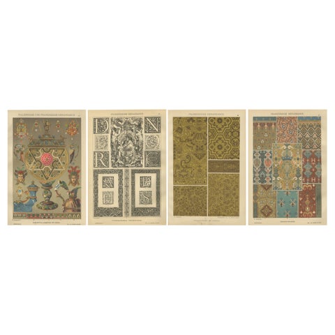 French and Italian Renaissance Ornament Prints by H. Dolmetsch, 1887, Set of 4
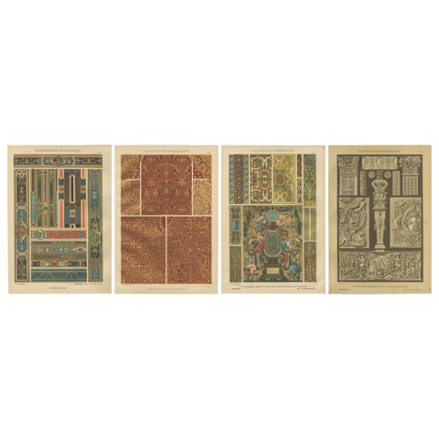 Set of 4 French Renaissance Prints by H. Dolmetsch from Ornamentenschatz, 1887
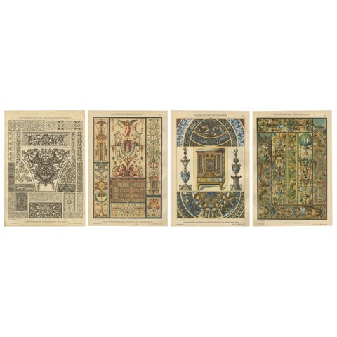 Set of 4 Renaissance Design Prints by H. Dolmetsch – Gobelins, Enamels and More
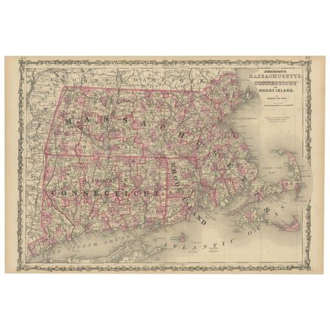 Rare 1864 Civil War Era Map of Massachusetts, Connecticut, and Rhode Island
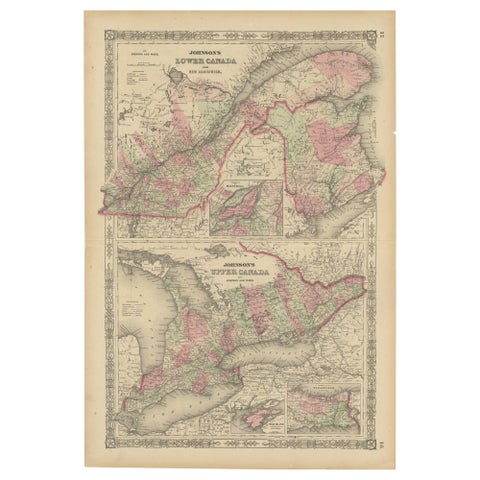 Historic 1864 Civil War Era Map of Canada with Great Lakes Detail
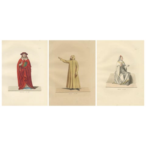 Cardinal, Commoner, and Florentine Noble in 15th-Century Italian Costume, 1845
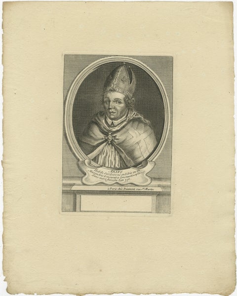 Saint Arno, Bishop of Metz – French Religious Engraving, circa 1670
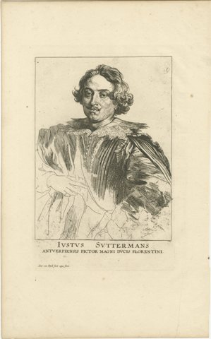 Portrait of Justus Sustermans, Flemish Painter to the Grand Duke of Florence
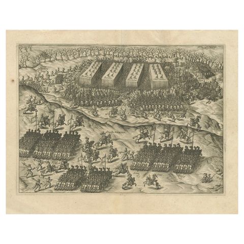 Battle of Turnhout 1597 – Dutch and English Victory over Spanish, Published 1700
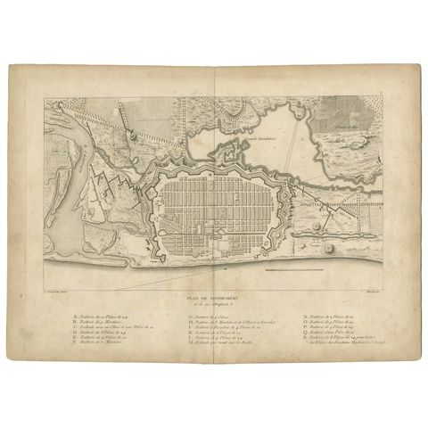 Plan of Pondicherry Fortifications and Attacks, France, c.1750
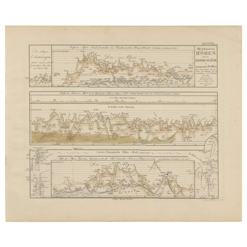 Mountain Elevation Profiles – Alps, Pyrenees, Andes & World Heights 1857
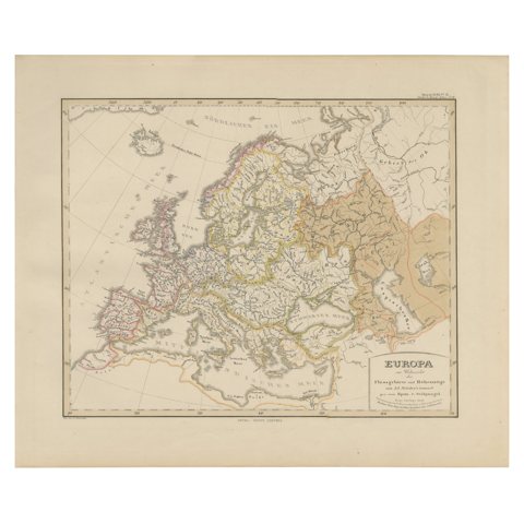 Europe Map – Rivers, Watersheds and Elevation, Published in 1857
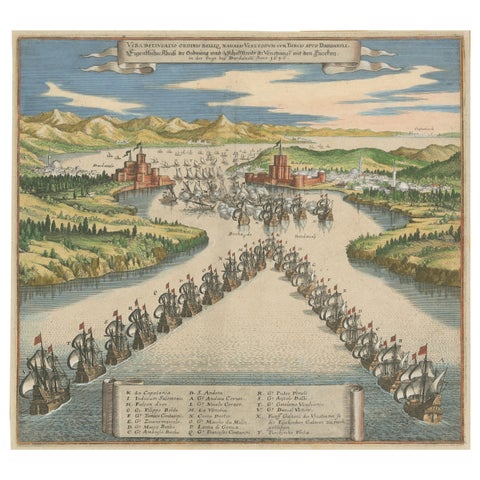 Venetian Fleet vs. Ottoman Turks – Dardanelles Naval Battle Engraving, 1656
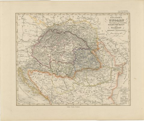 1858 Map of Hungary, Galicia & the Balkans – Justus Perthes Engraving
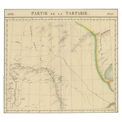 Antique Map of Tartary – Hand-Colored Lithograph of Central Asia, 1827
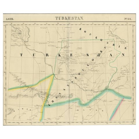 Antique Map of Turkestan – Vandermaelen Lithograph of Central Asia, 1827
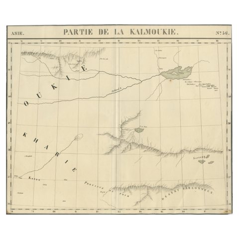 Antique Map of Kalmykia – Vandermaelen Lithograph of Central Asia, 1827
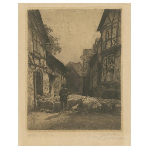 Antique etching: German Village, Shepherd & Flock, signed ‘Conrad Rau’, ca.1920
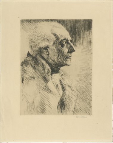 Etching by Karl Bauer (1905–1993), bust portrait of Frederick the Great
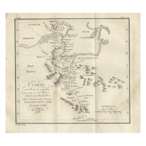 Original Antique Map of the Route of M. Zurabek – Caspian Sea to Isfahan, 1722
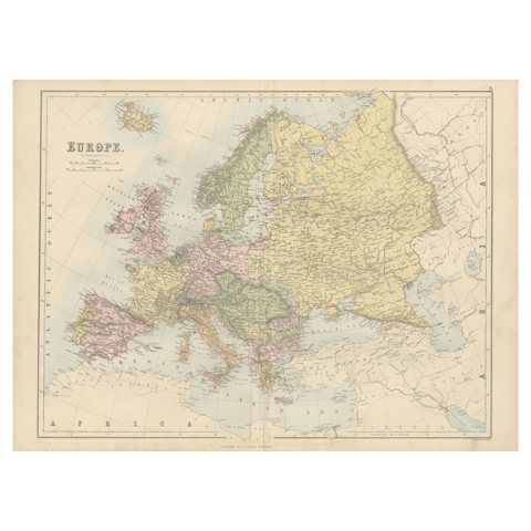 Antique Europe Map with Political Boundaries – Collectible Wall Art, 1884
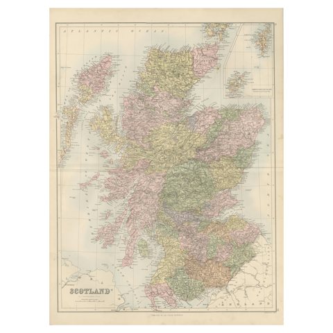 Antique Map of Scotland with Counties and Islands – Black’s Atlas, 1884
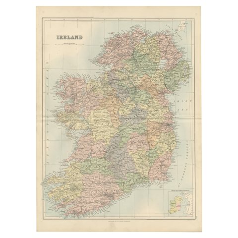 Antique Ireland Map with County Divisions – Decorative Wall Chart, 1884
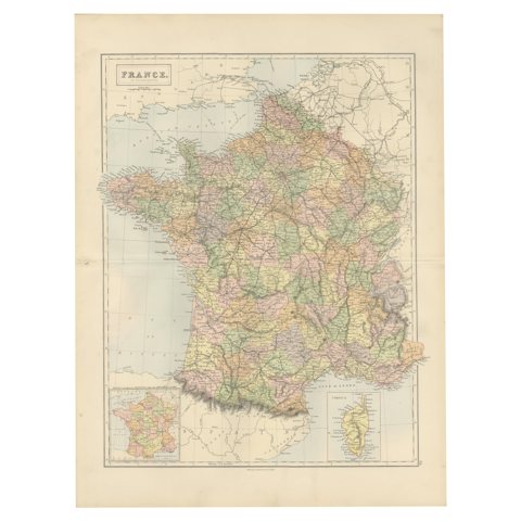 Decorative Antique Map of France in Departments – Collectible Print, 1884
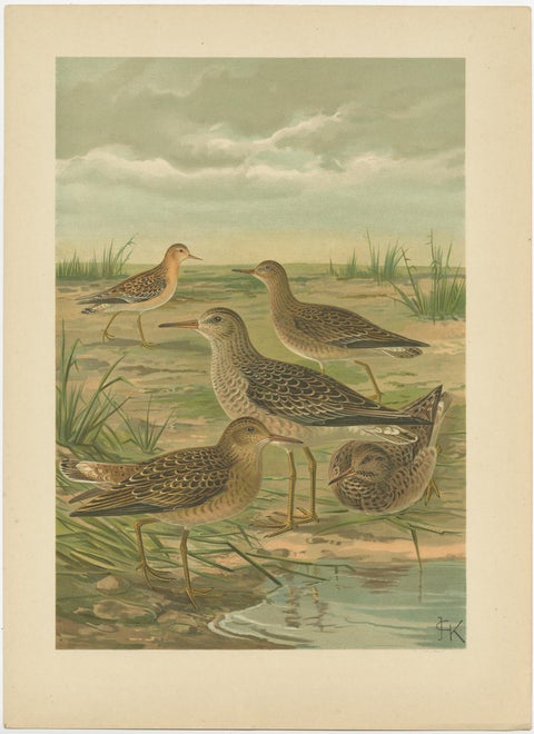 Set of 2 Antique Chromolithographs of Waders – Ruff and Common Snipe, c.1890
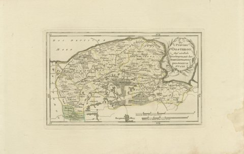 Antique Map of Leeuwarden and Dokkum, Friesland by von Reilly, 1791
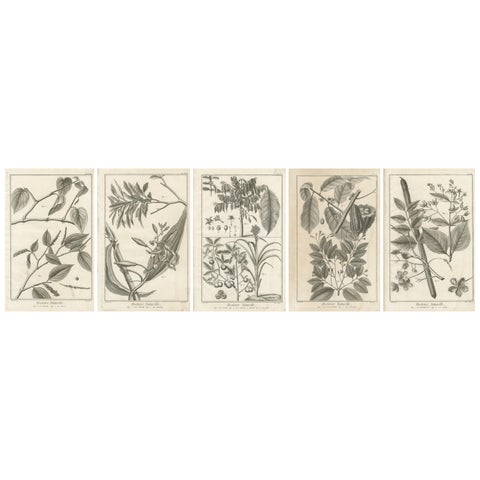 Set of Five Antique Engravings of Spices and Colonial Crops by Diderot, 1770
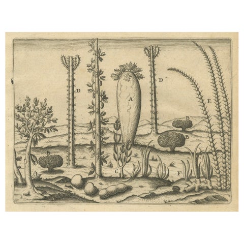 De Bry Engraving Expressio Germinum – Exotic Plants of St. Lawrence Island, 1598
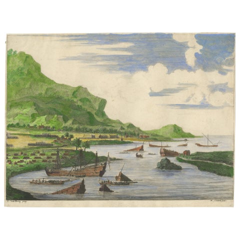 Cortés Scuttling Ships at Veracruz – Hand-Colored Engraving by Van Beecq, c.1690
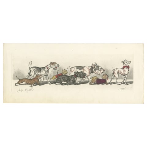 Sex Appeal – Humorous Etching by Boris O’Klein, Dirty Dogs of Paris, ca.1930
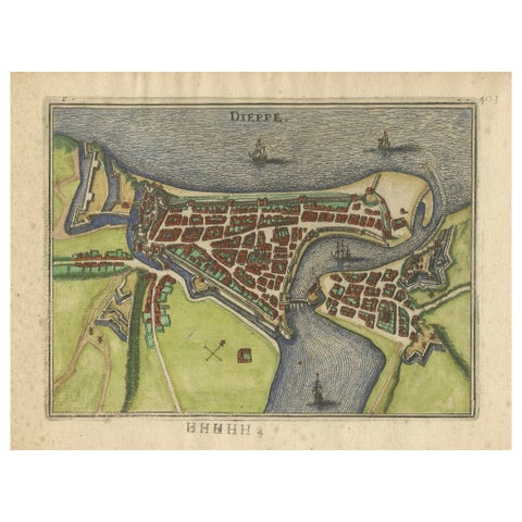 Dieppe – Antique Hand-Coloured French Coastal Town Engraving (1666)
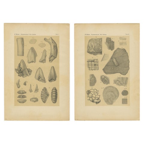 Antique Print of Caribbean Coral & Fossils - Geological Lithograph Pair, 1888
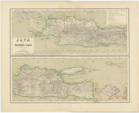 Old Map of Java, Madura & Bali - Dutch East Indies Colonial Cartography, 1884
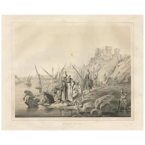 Antique Egyptian Women at the Nile Water Scene from Maximilian in Bavaria, 1846
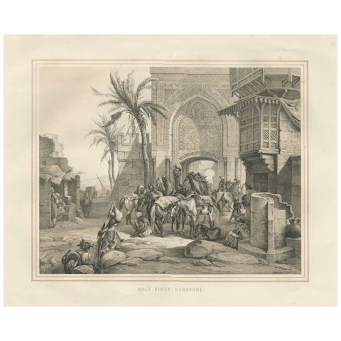 Antique Orientalist Caravan at Rest City Gate Scene from Maximilian, 1846
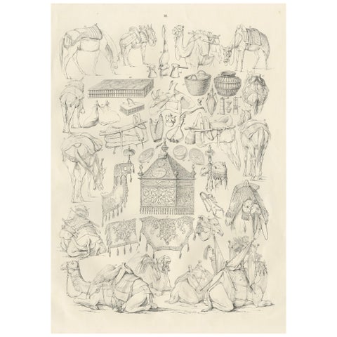 Antique Camel & Caravan Equipment Studies from Maximilian in Bavaria, 1846
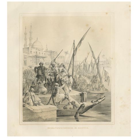 Antique Egyptian Army Recruitment at the Nile Harbor from Maximilian, 1846
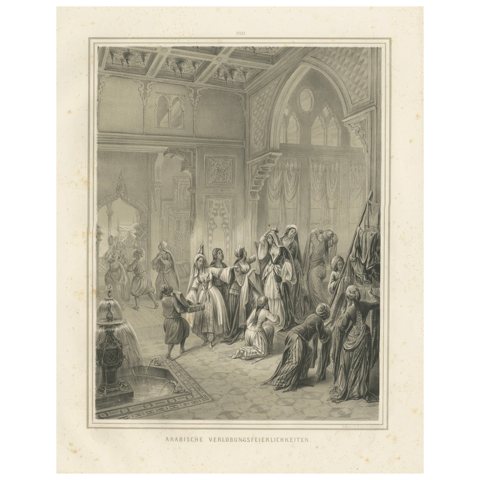 Antique Arabian Engagement Ceremony Interior Scene, Maximilian Egypt 1846
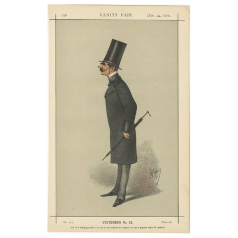 Victorian Statesman with Top Hat – Vanity Fair Statesmen Series, 1870
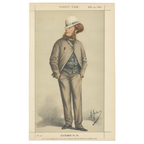 Victorian Statesman with Medal – Vanity Fair Political Portrait, 1870
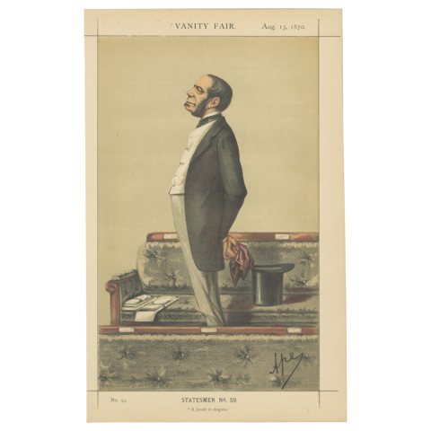 Victorian Political Satire – Vanity Fair Statesmen, Jesuit Theme, 1870
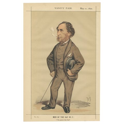 Victorian Turf Authority – Vanity Fair Men of the Day No. 7, 1870
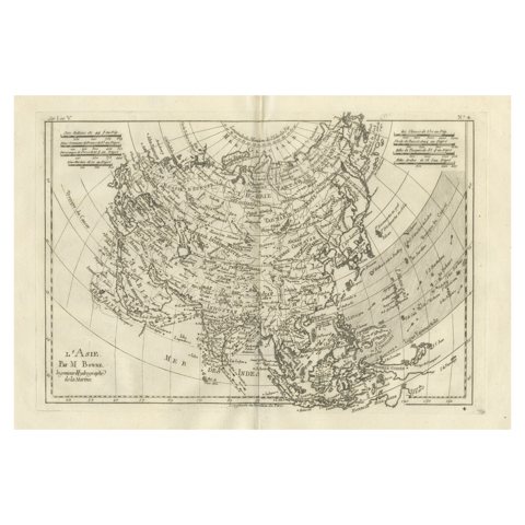 Asia in the Age of Exploration – Antique Map by Rigobert Bonne, c.1780
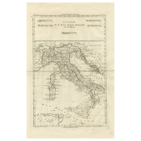 Italy in the Age of Antiquity – Rigobert Bonne French Map c.1780
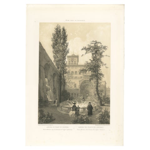 Gardens of the Quirinal Palace, Rome – Elegant Fountain Scene, 1868
Sharing the sale? Download the Black Friday banners.