About this sheet
Original Antique Map of the Route of M. Zurabek – Caspian Sea to Isfahan, 1722
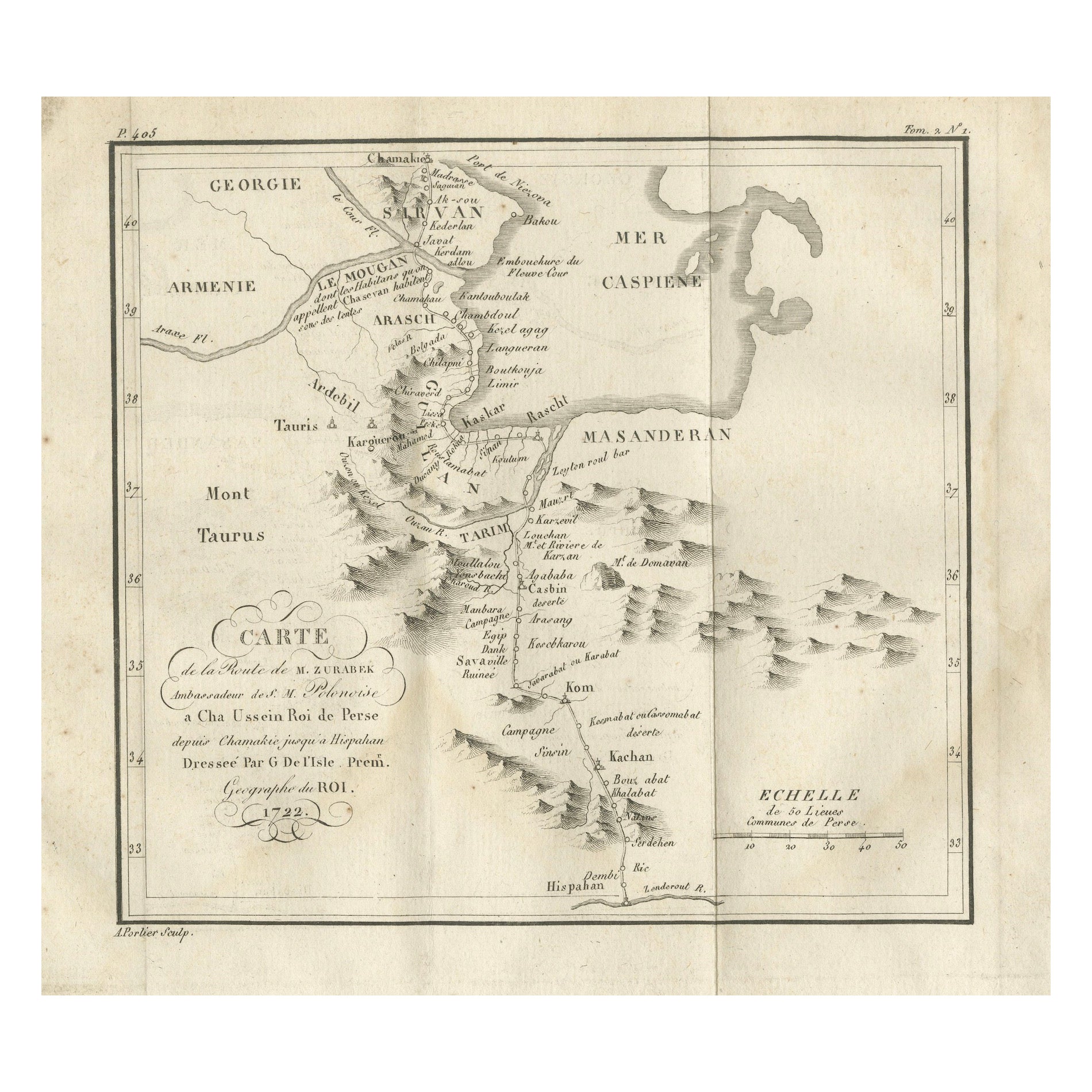
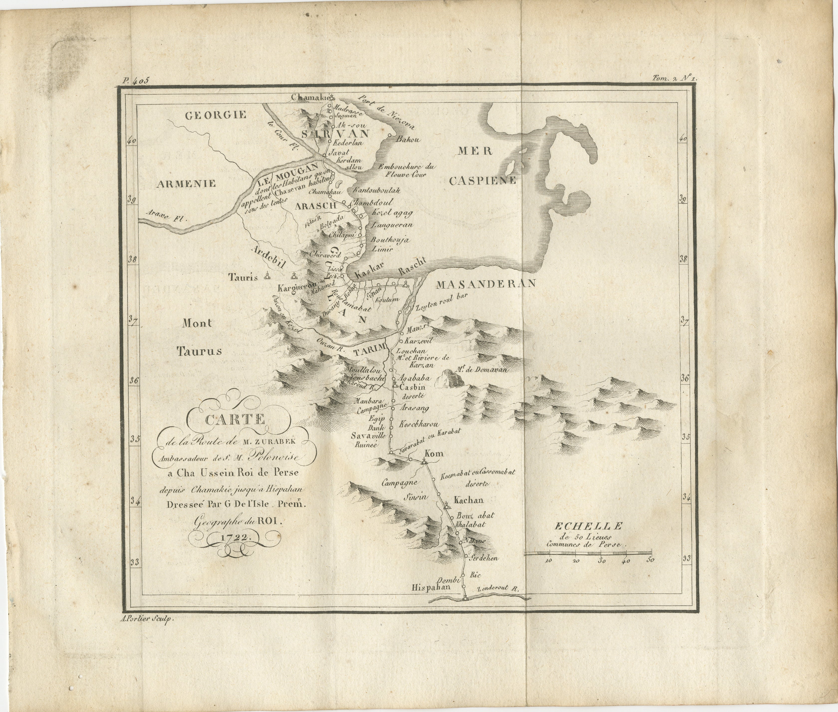
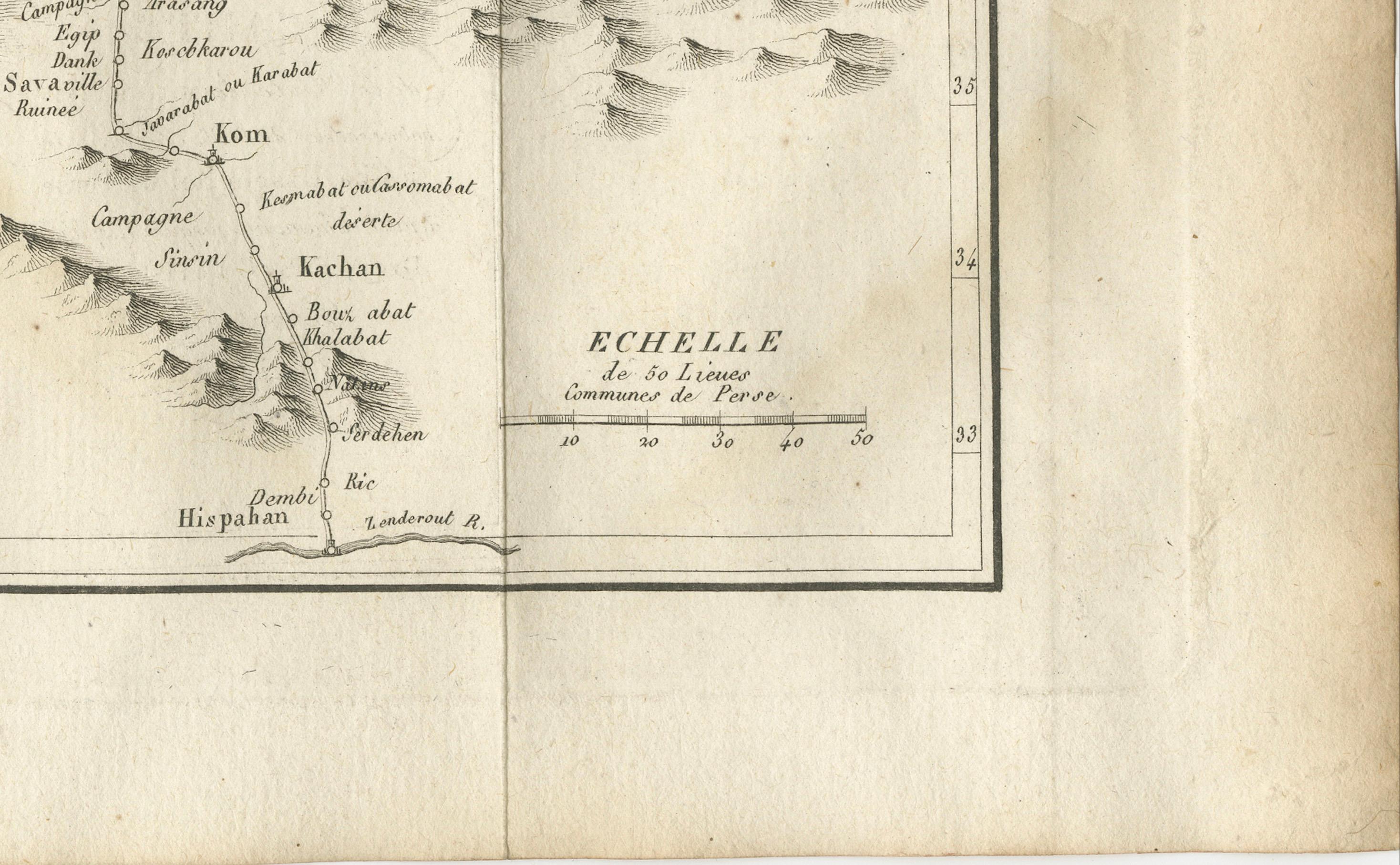
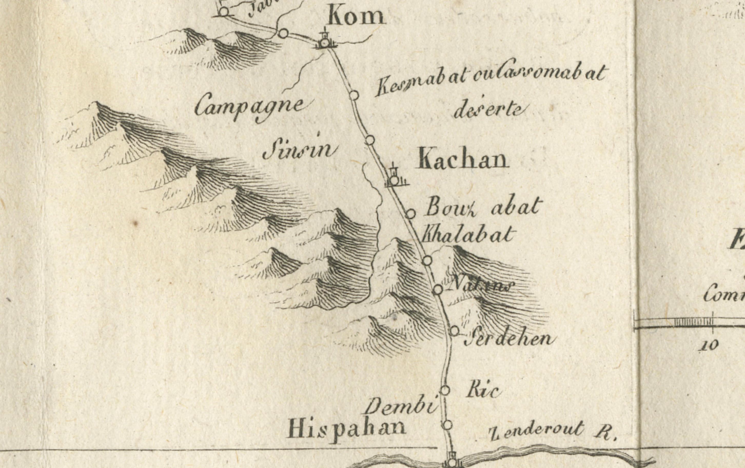
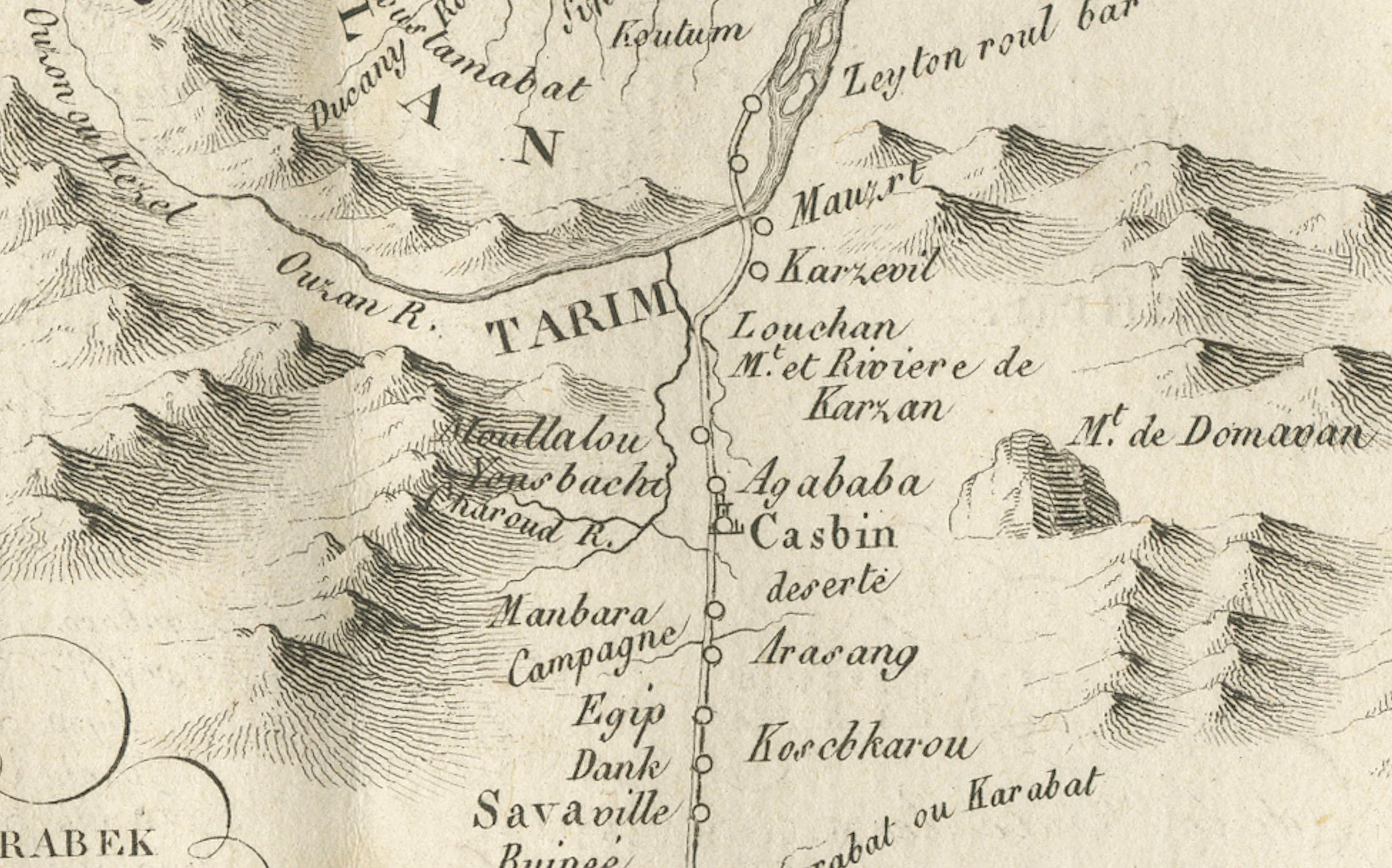
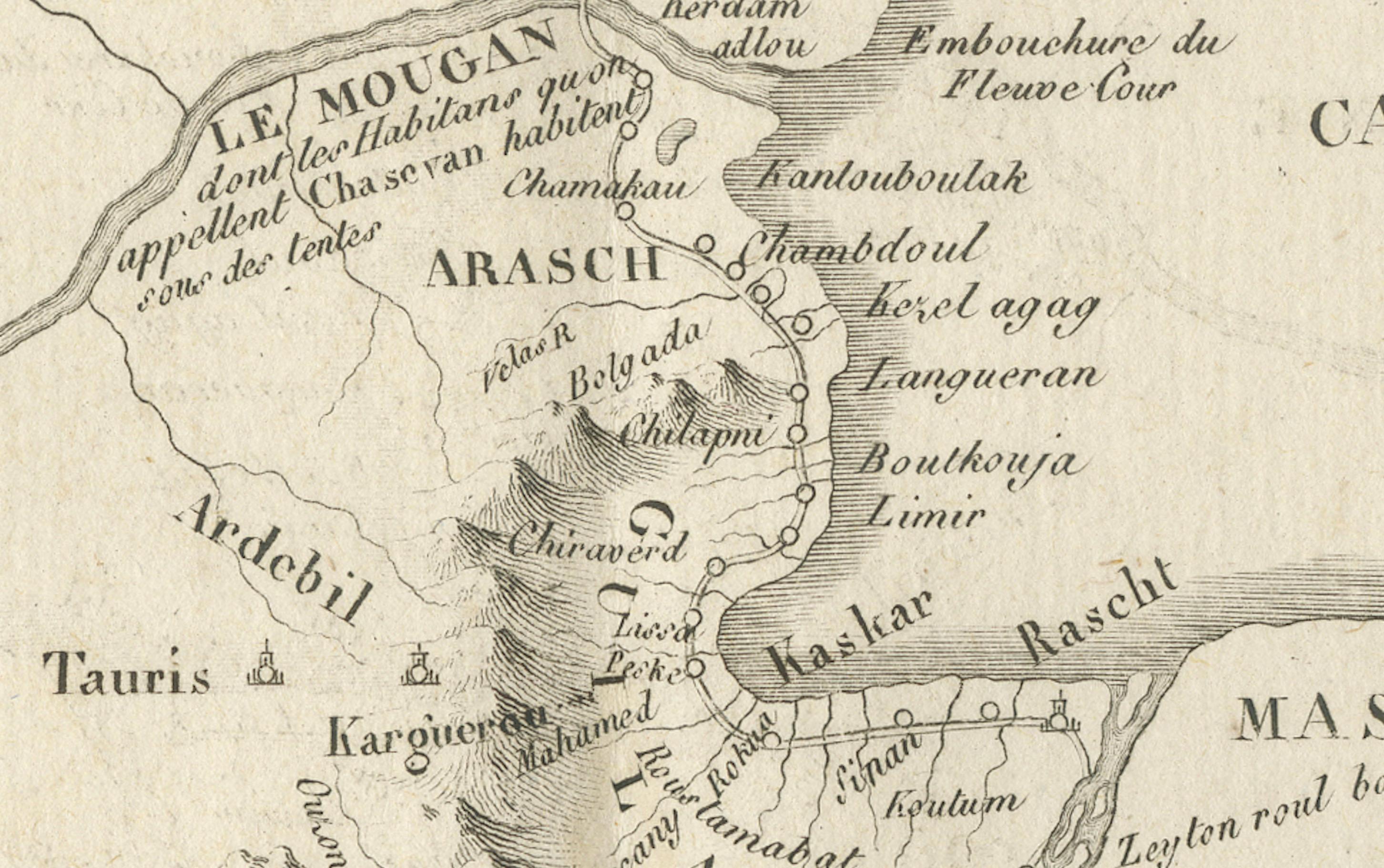
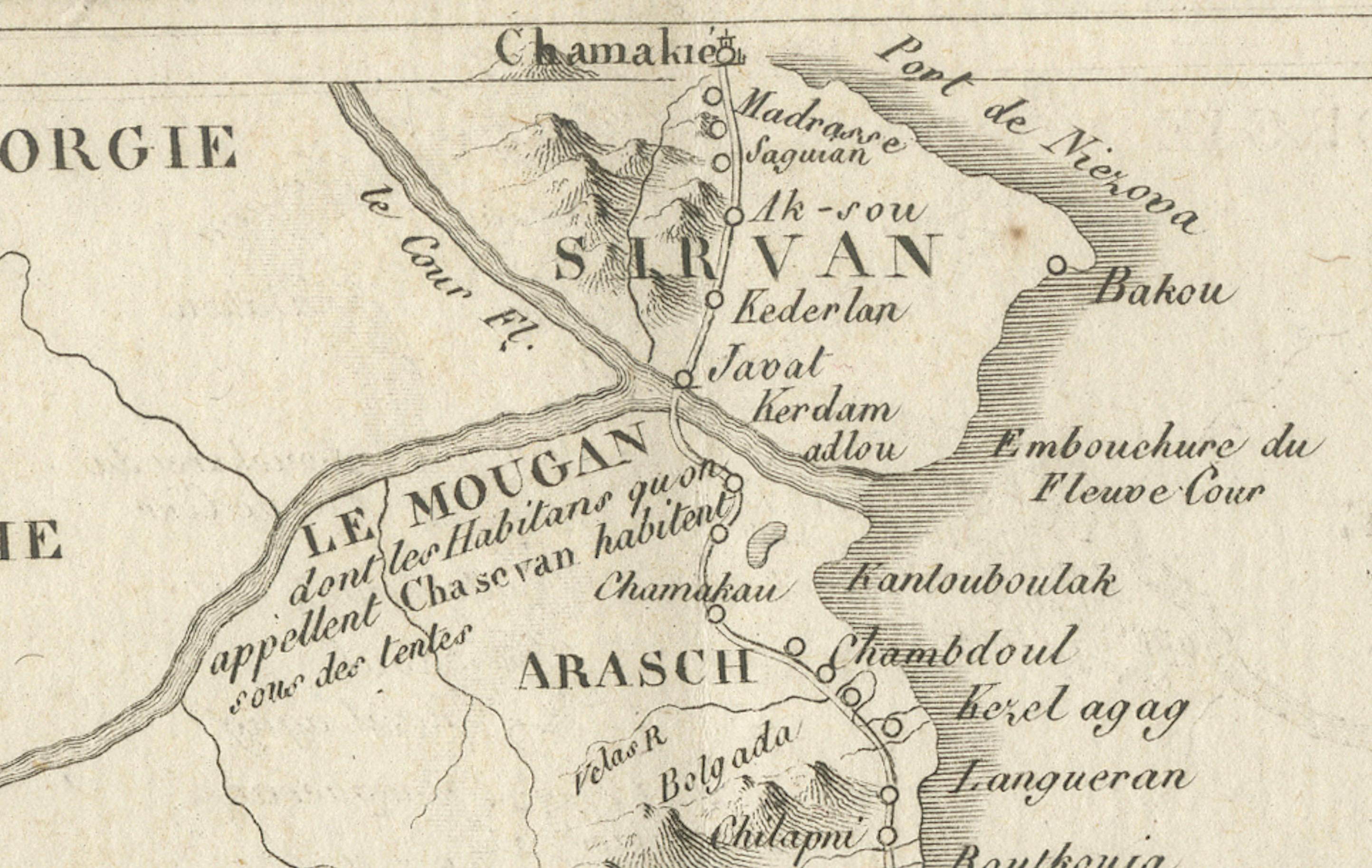
This 18th-century copperplate map, titled Carte de la Route de M. Zurabek, Ambassadeur du Roi de Pologne à Cha Ussein Roi de Perse depuis Chamakié jusqu’à Hispahan, charts the journey of the Polish ambassador M. Zurabek to the court of Shah Sultan Husayn of Persia. The route runs from Shamakhi (in present-day Azerbaijan) southward along the western coast of the Caspian Sea, through the province of Masanderan (Mazandaran), and onward to the Persian capital of Isfahan.
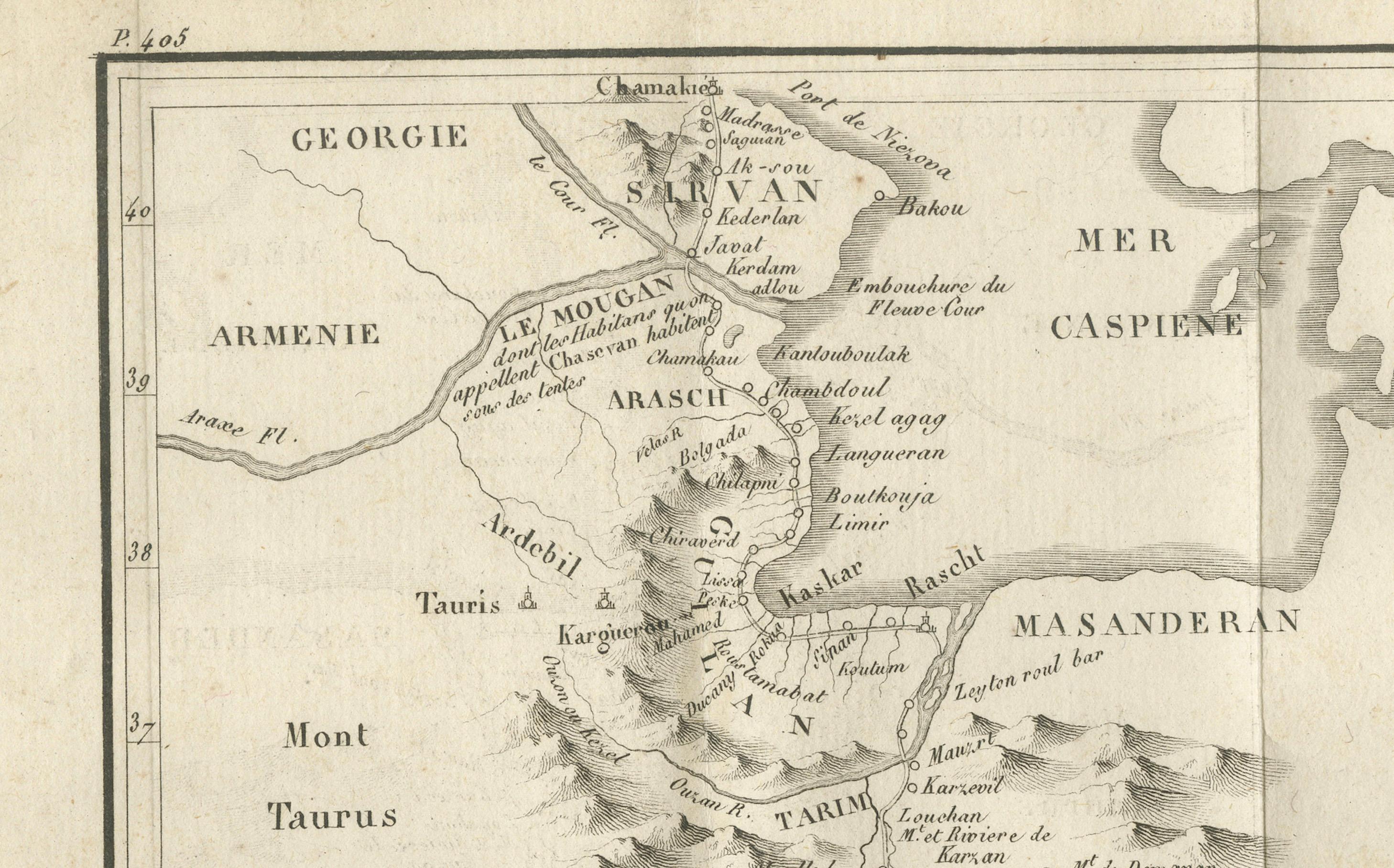
The map covers a region extending from Georgia and Armenia in the north to the Persian heartland in the south, with the Caspian Sea (Mer Caspienne) prominently depicted to the east. Mountain ranges such as the Mont Taurus are rendered pictorially, and key cities along the route—including Ardabil, Rasht, Qazvin, and Kom—are marked. The southern terminus, Isfahan (Hispahan), appears at the bottom center.
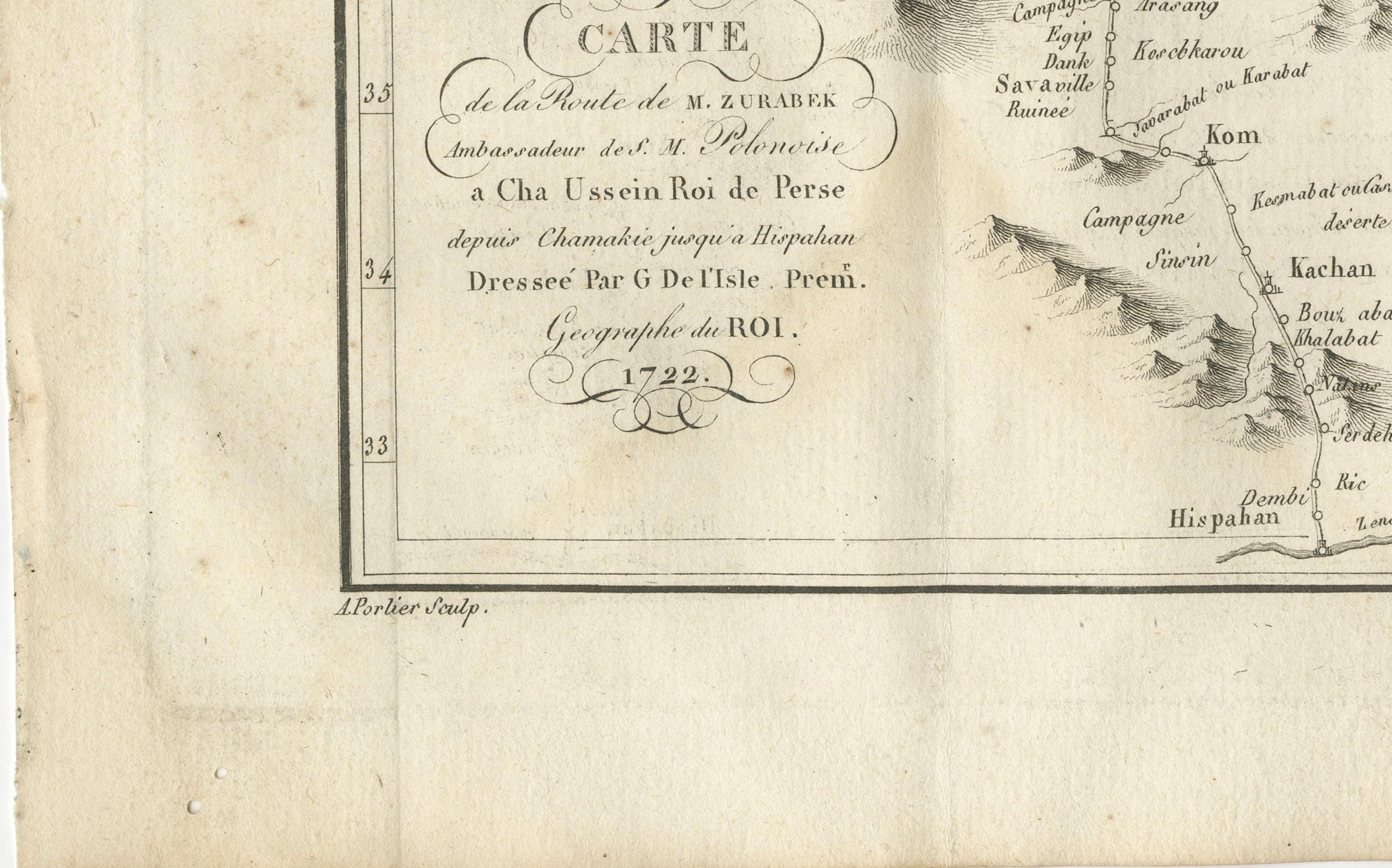
The decorative cartouche at the lower left credits the map’s compilation to Guillaume Delisle (Dreſſée par G. de l’Isle, Premier Géographe du Roi), one of the foremost French cartographers of the early 18th century. The date “1722” refers to the year of the embassy, which took place during a period of political upheaval in Persia, shortly before the fall of the Safavid dynasty. This particular engraving was executed by A. Porlier and is marked “Tome 3, N° 1,” indicating its position in a larger Enlightenment-era historical and travel series.
Such maps served both as geographical records and as illustrations of diplomatic missions, appealing to a European readership eager for information on the courts and trade routes of the East. Today, it provides valuable insight into early 18th-century perceptions of Persian geography and international relations.
Condition: Good for age, with central folds as issued. Some toning and faint foxing in margins. Strong plate impression with crisp cartographic detail.
Framing tips: A dark wood or black frame with a soft ivory mount will enhance the engraved lines and the delicate hachure work on the mountains. For thematic display, it pairs well with other 18th-century maps of Persia or the Caspian region.
Technique: Copperplate engraving
Maker: Guillaume Delisle (cartographer), engraved by A. Porlier, French school, c.1760