Antique Map of Tartary – Hand-Colored Lithograph of Central Asia, 1827
€ 360
Original antique · The actual sheet photographed · Certificate of authenticity on request · Sold unframed · Worldwide shipping from € 15 (rates)
Date
1827
Mapmaker / artist
Philippe Marie Vandermaelen, Brussels, 1827
Technique
Lithograph with original hand color
Sheet size
47 × 51.5 cm (18.5 × 20.3 in)
Condition
Good
Reference
BG-13457-6
What the condition grades mean
Excellent
Bright and clean, with no faults worth mentioning.
Very good
Only light signs of age, such as faint toning.
Good
Normal signs of age for a sheet of this period: toning, some foxing, small marks or neat old repairs.
Fair
Clear faults such as staining, tears or repairs, priced to match.
Every fault we see is written in the condition note, and the whole sheet is shown uncropped in the photos.
Condition
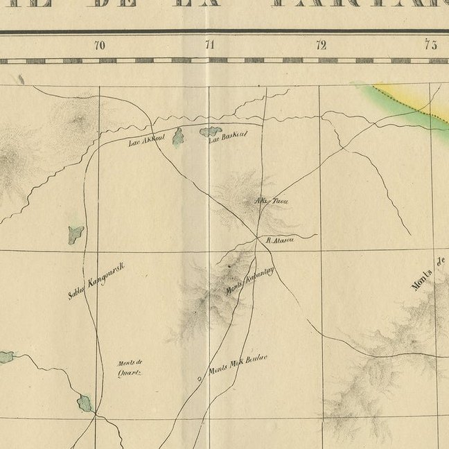
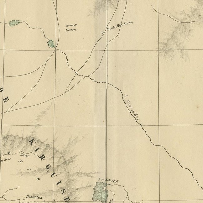
Condition with original hand-color in outline. Light age-toning and some marginal creases consistent with age. No tears or repairs. Strong paper quality with a clear plate impression. Folding line as issued.
About this sheet
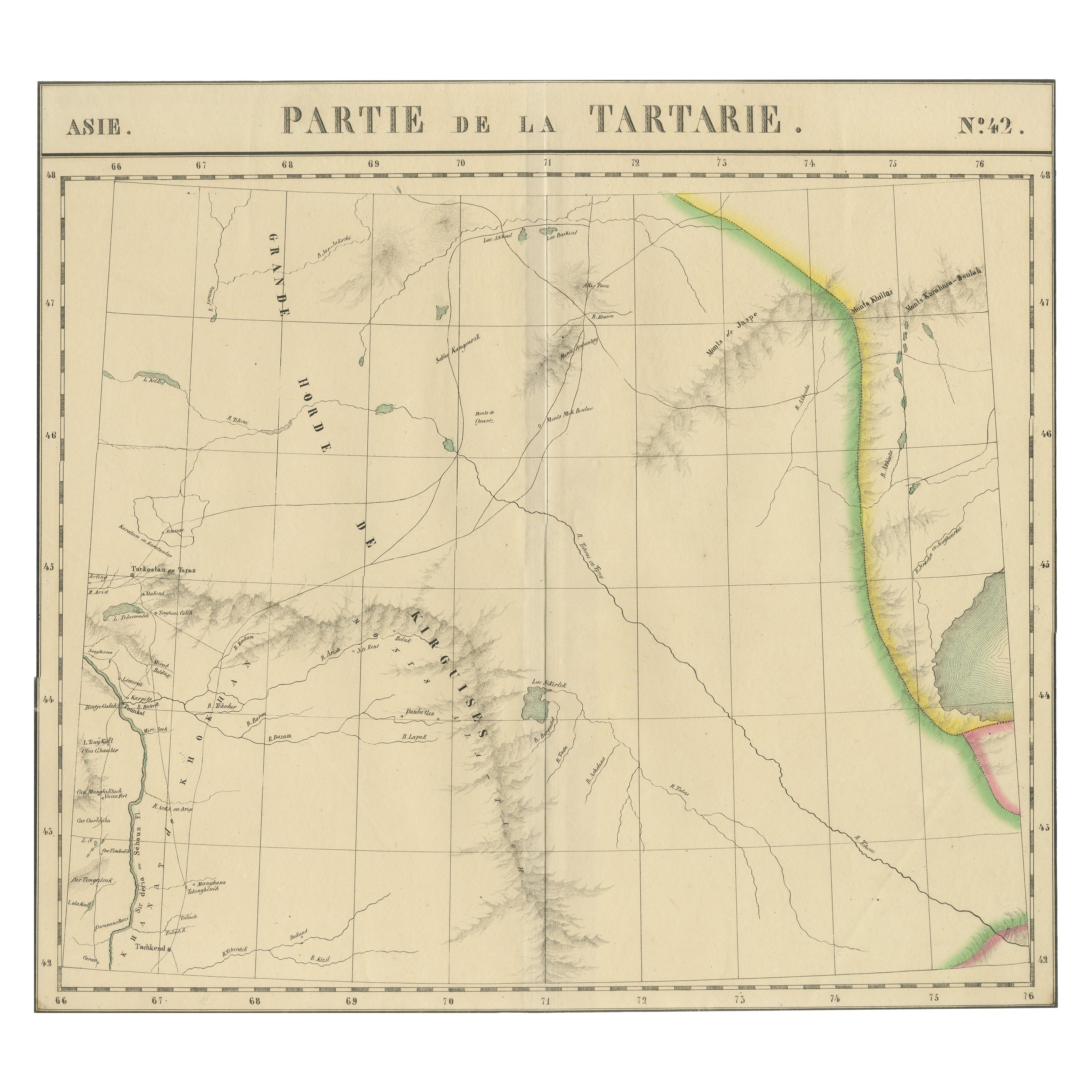
Antique Map of Tartary – Hand-Colored Lithograph of Central Asia, 1827
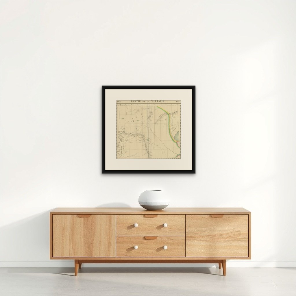
This original antique map, titled "Partie de la Tartarie" (No. 42), is an exceptional example of early 19th-century cartography by Philippe Marie Vandermaelen. It focuses on a largely uncharted region of Central Asia during the 1820s, covering parts of what is now southern Kazakhstan, stretching from the vicinity east of the Aral Sea toward the western extremities of Lake Balkhash.
Drawn at an impressively detailed uniform scale of 1:1,641,836, this lithographed map is part of Vandermaelen’s monumental Atlas Universel, one of the earliest atlases to use lithography and the first to map the entire known world on such a consistent scale. This map includes geographic and hydrographic features such as rivers, lakes, steppes, mountain ranges, and caravan routes, as well as settlements like Turkestan, Tashkent, and Khodjend. Prominent annotations include "Grande Horde de Kirghises" (Great Horde of the Kirghiz) and "Montagnes de Tarbagataï," reflecting contemporary European knowledge and nomenclature of this remote area.
Each sheet of Vandermaelen’s atlas was designed to fit together to form a massive globe over seven meters in diameter, making this work not just a scientific achievement but a grand geographical vision. This map's fine lithographic lines, delicately hand-colored borders, and meticulous detailing make it a historically rich and visually striking piece.
The map was produced at the Établissement Géographique de Bruxelles, Vandermaelen’s own printing and research facility, a pioneering center for geography, printing, and public education in Belgium. Its publication in 1827 places it among the earliest modern attempts to standardize and democratize global geographic knowledge.
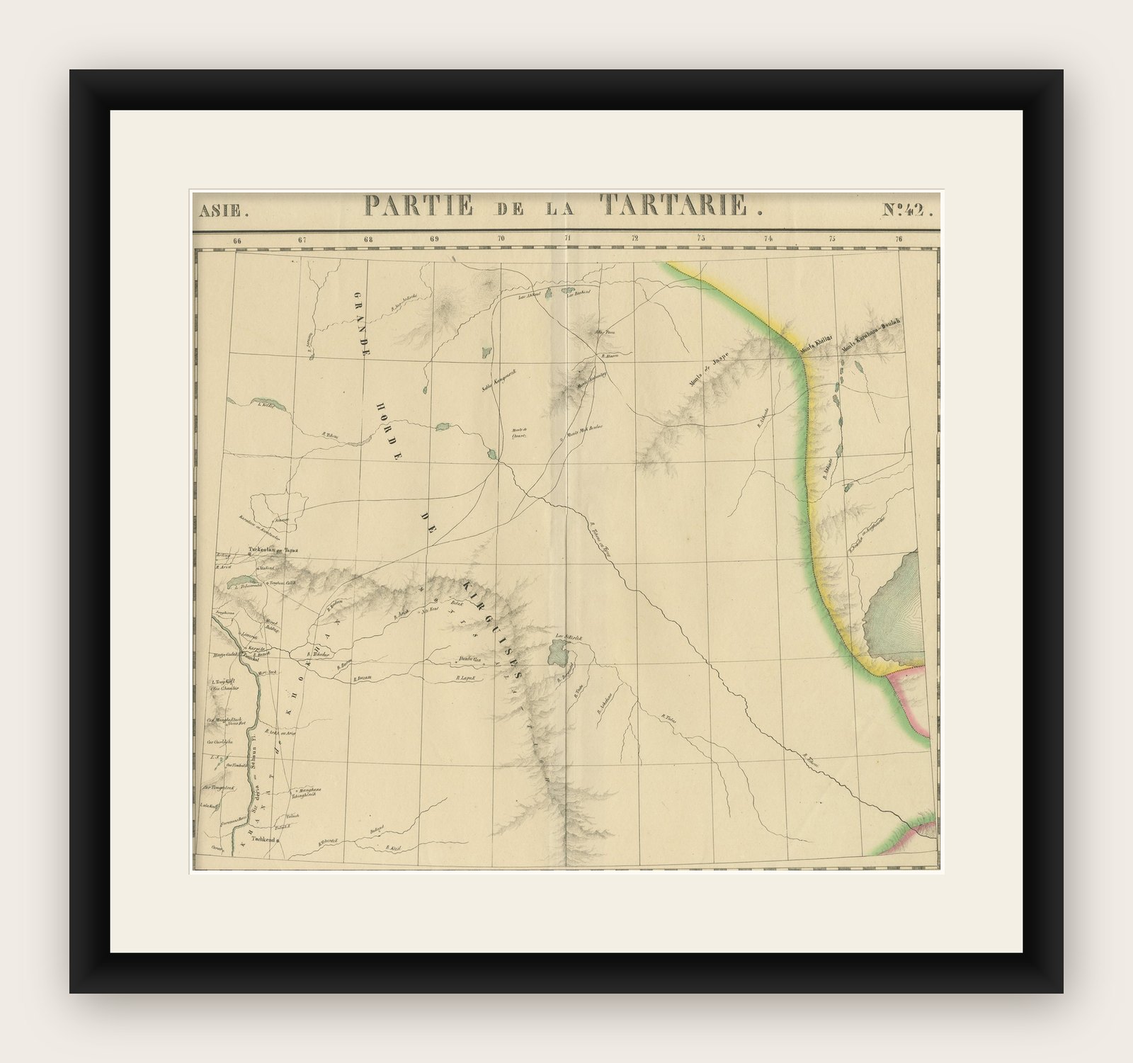
Framing tips: Best displayed in a walnut or dark oak frame with a cream or light tan mat to enhance the subtle hand coloring. A minimalist or antique-style frame will emphasize the map’s historical character.