About this sheet
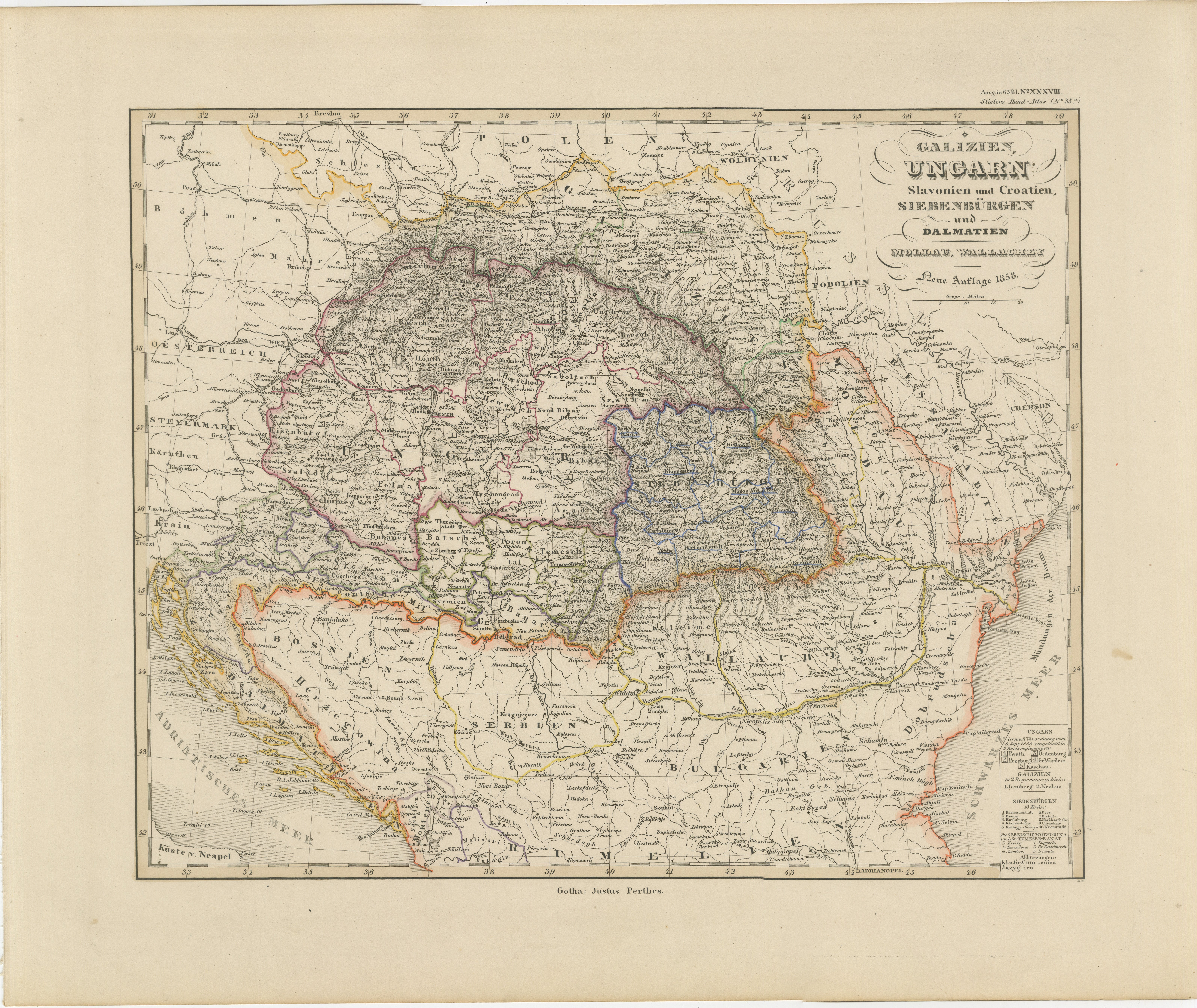
1858 Map of Hungary, Galicia & the Balkans – Justus Perthes Engraving
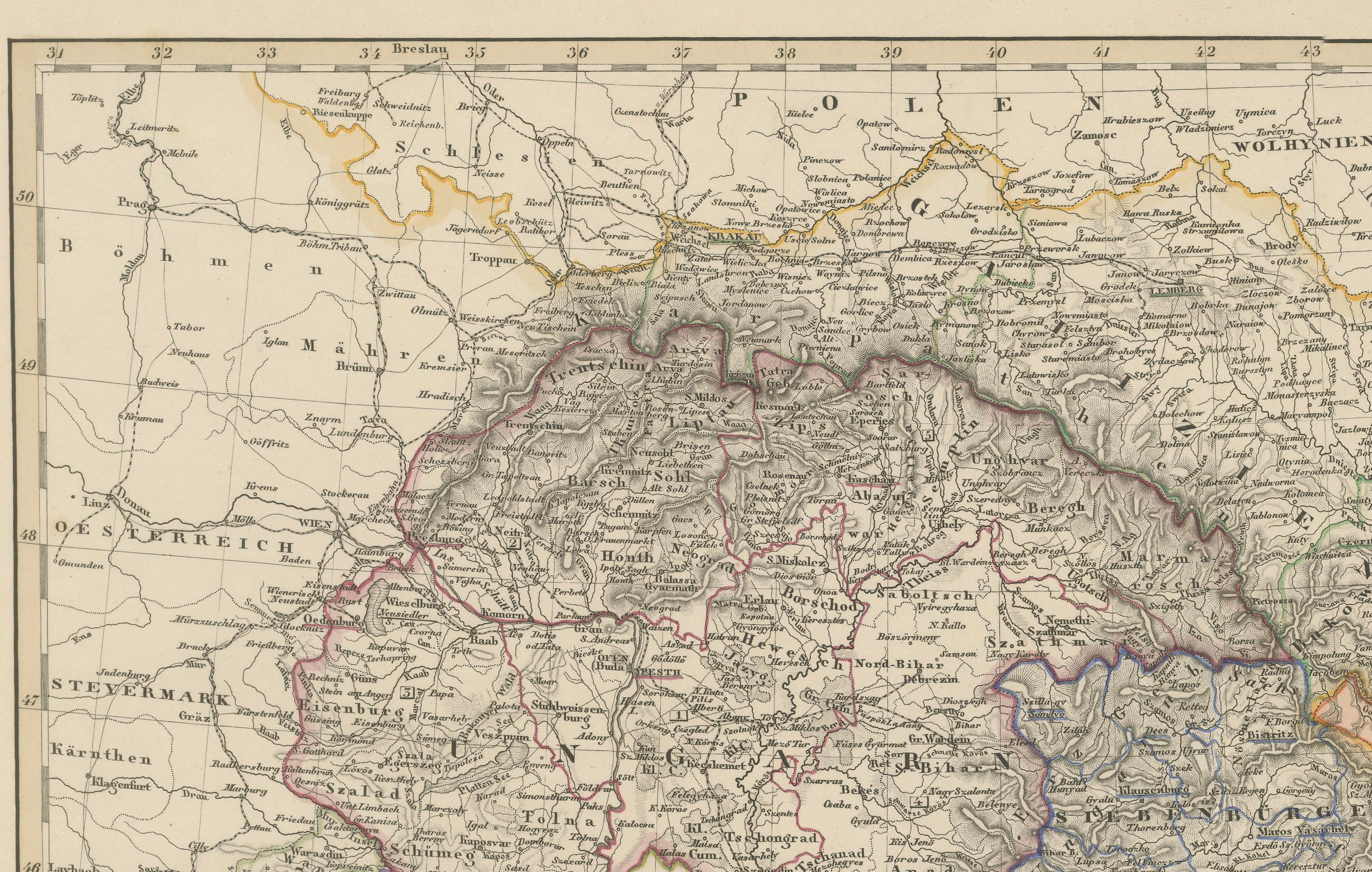
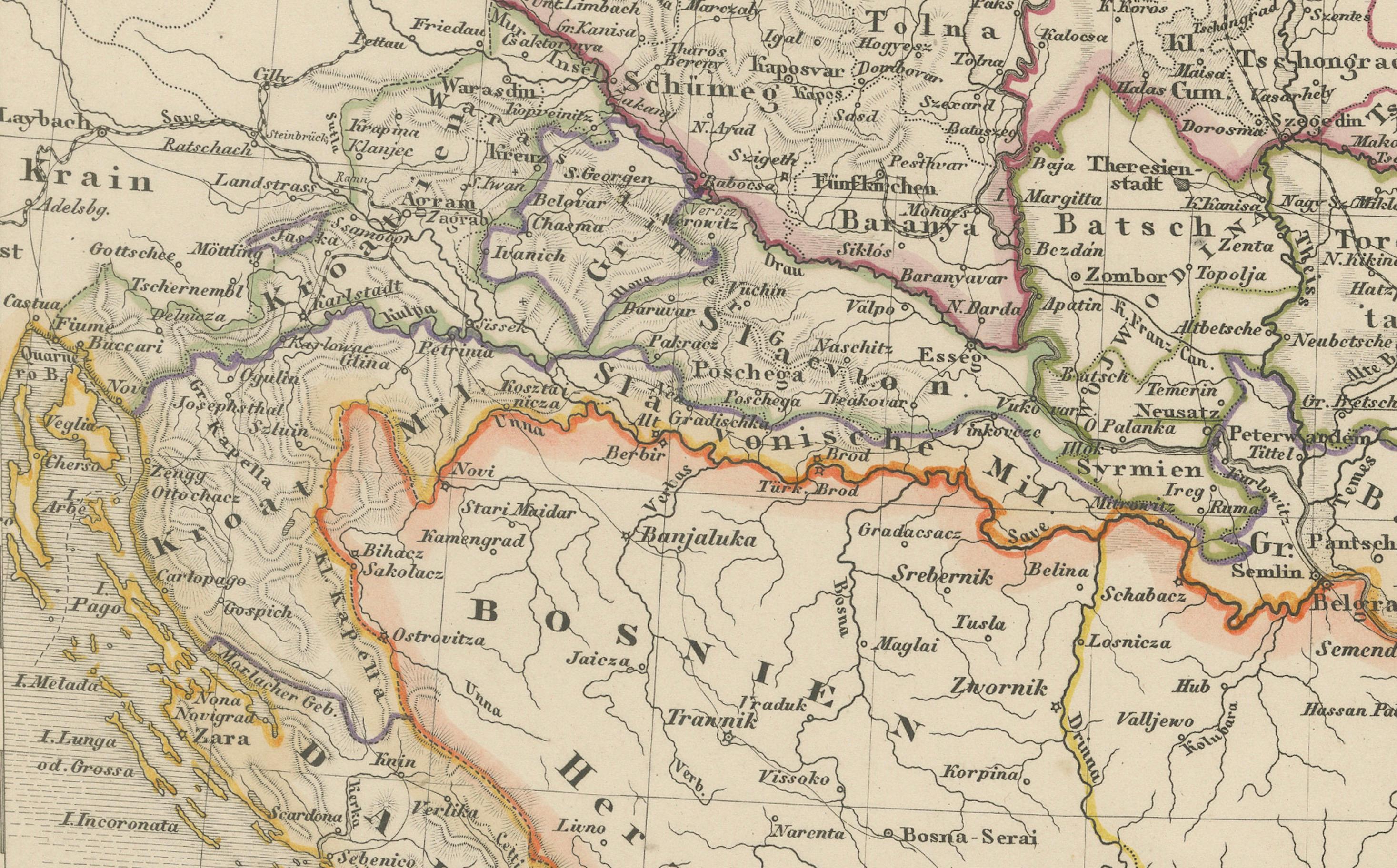
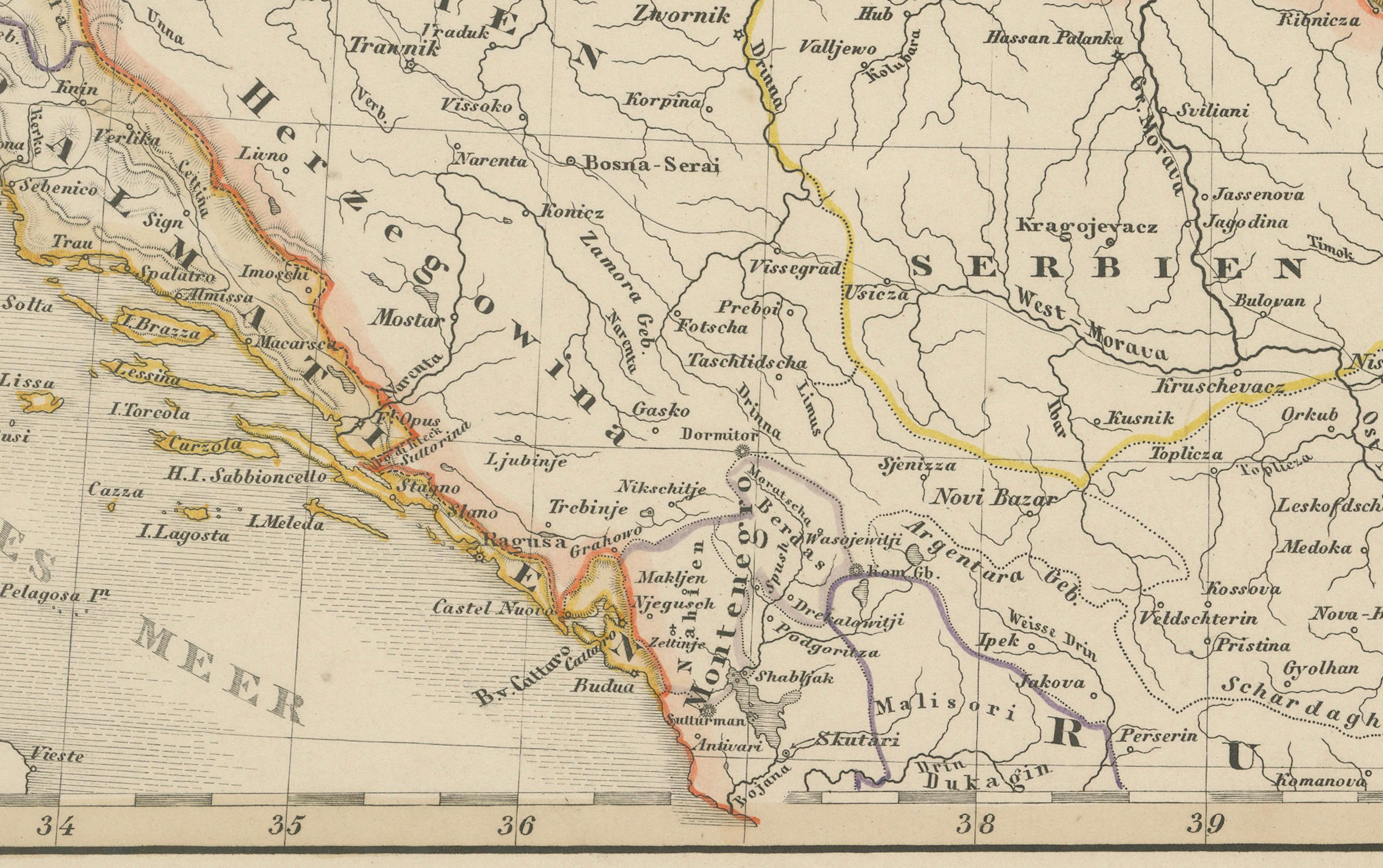
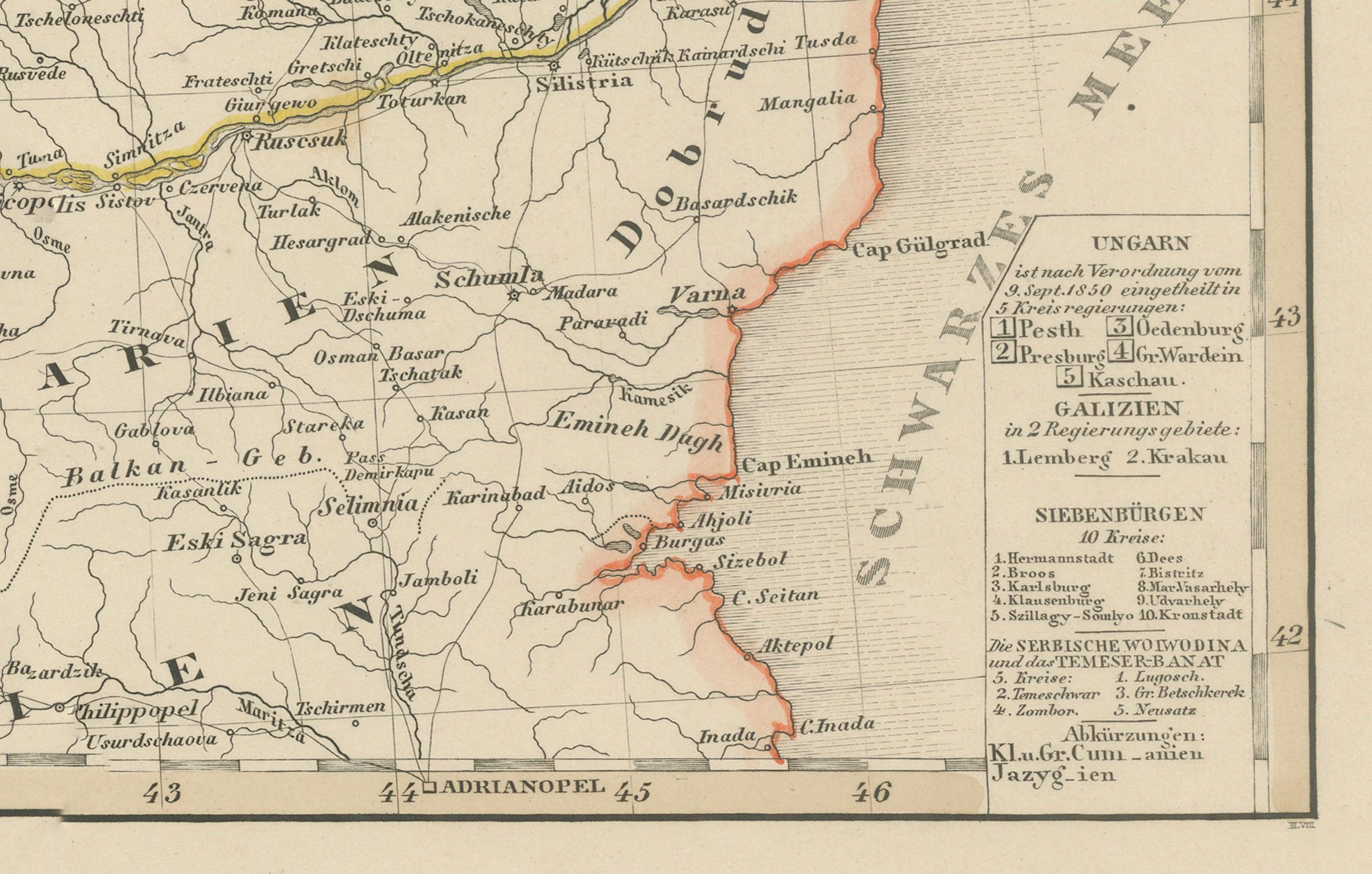
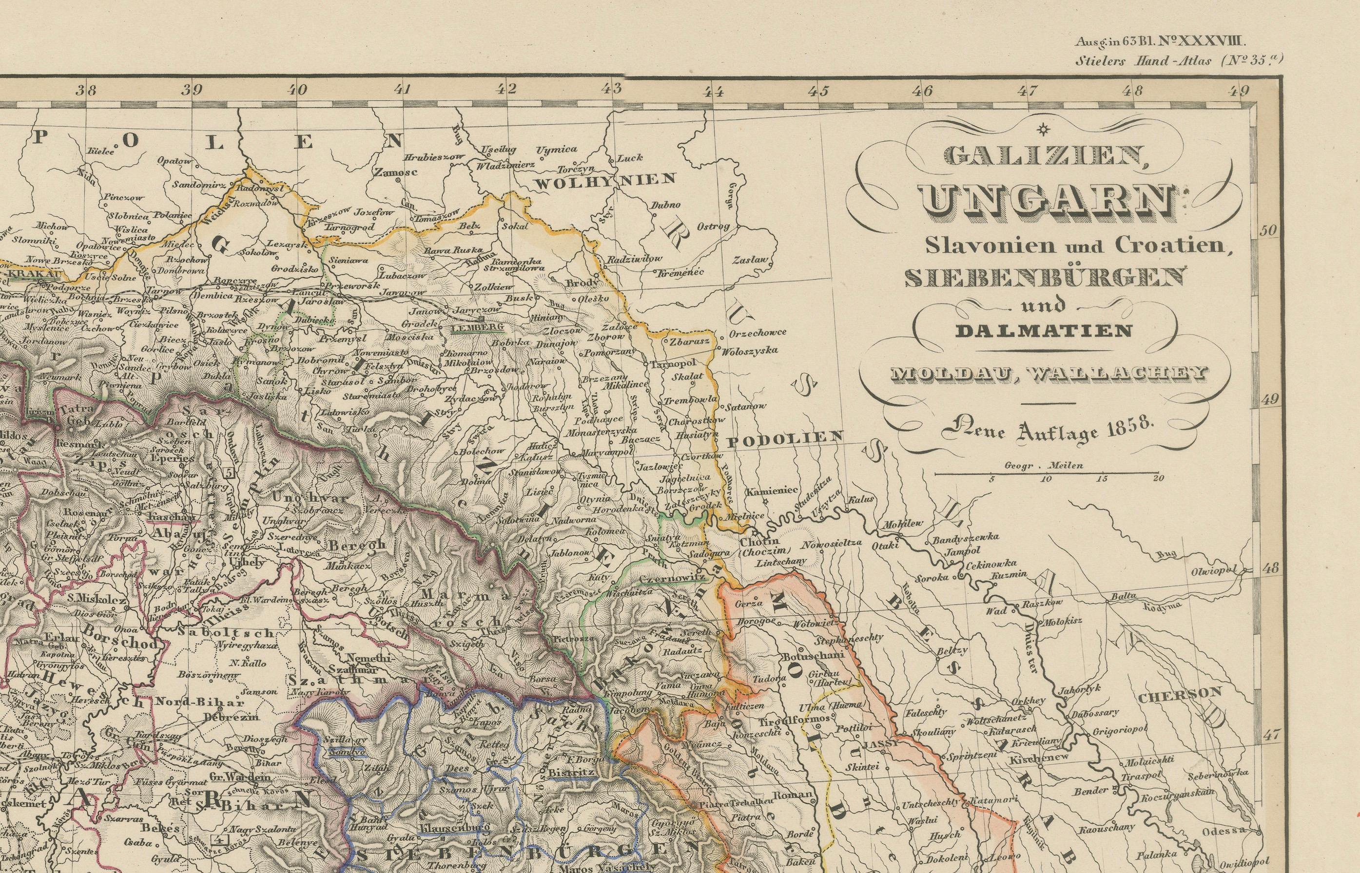
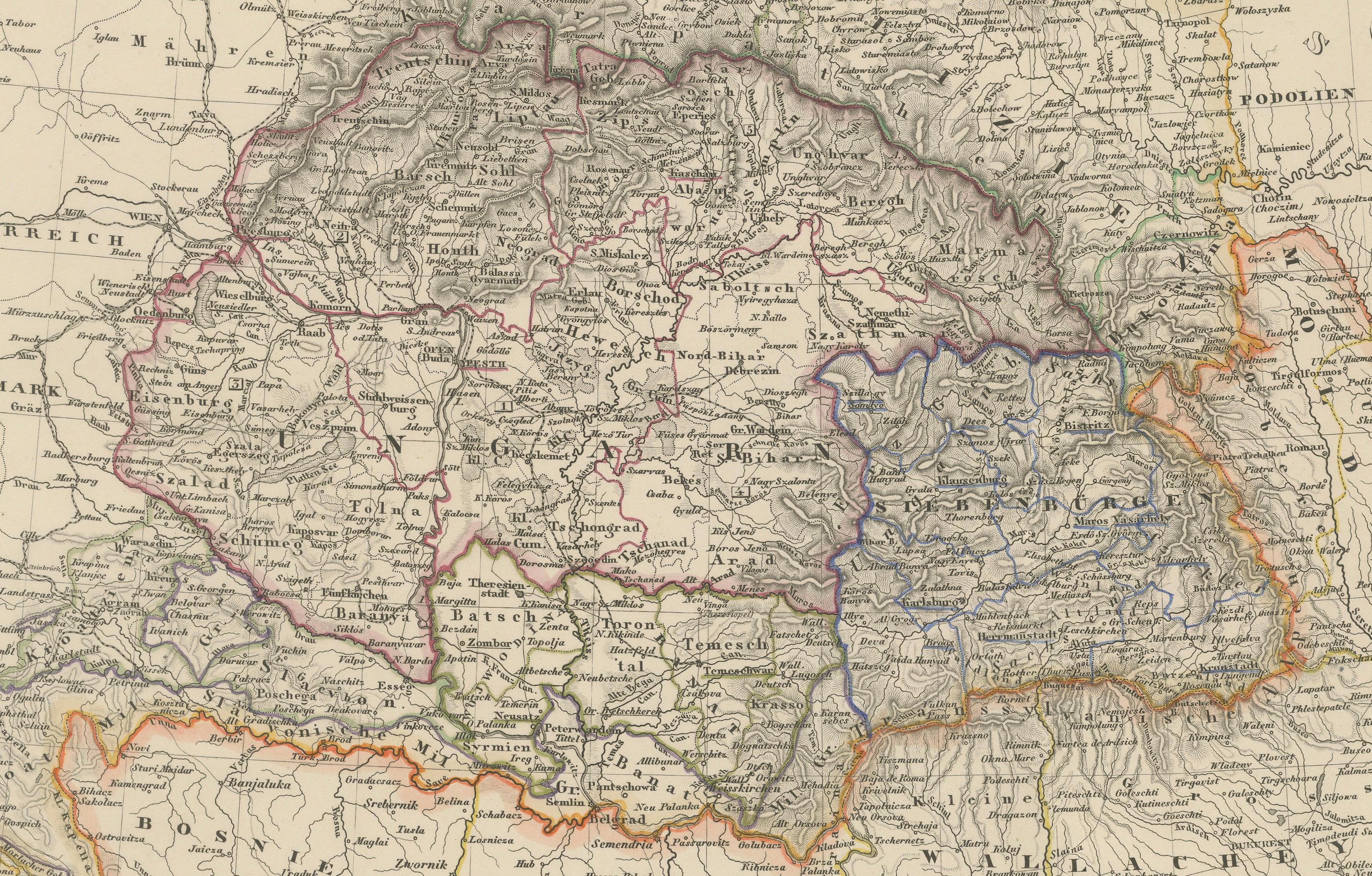
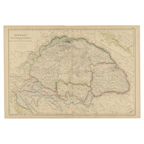
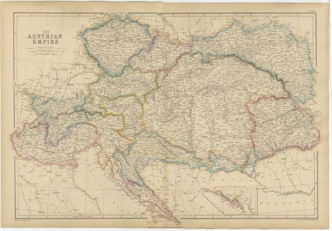
Antique map titled "Galizien, Ungarn, Slavonien und Croatien, Siebenbürgen und Dalmatien," published by Justus Perthes in Gotha in 1858. This highly detailed copperplate engraving presents a wide view of the eastern territories of the Austrian Empire, including Hungary, Galicia (now partly in Poland and Ukraine), Transylvania, Croatia, Slavonia, Dalmatia, and Bosnia.
Drawn with cartographic precision, the map captures the ethnic and political complexity of the region just before the Austro-Hungarian Compromise of 1867. Major cities such as Pesth (Budapest), Lemberg (Lviv), Belgrade, Sarajevo, and Cluj (Klausenburg) are clearly labeled, along with an intricate web of rivers, trade routes, and mountainous terrain.
Provincial boundaries are delicately hand-colored, and a detailed legend at lower right explains the symbols for towns, fortresses, and administrative borders. The Adriatic coast from Trieste to Montenegro is included, as well as parts of Moldavia, Wallachia, and the Carpathians, making this map particularly valuable for those interested in the shifting borders and national identities of Central and Eastern Europe.
This map serves as an important visual document of the Habsburg Empire's southeastern frontier during a period of political tension and regional nationalism. A valuable piece for collectors of Central European or Balkan cartography.
Condition report:
Very good condition. Minor age-related toning in margins. Hand-coloring is vivid and intact. No tears or repairs noted. Please study the image for details.
Framing suggestions:
Frame with dark walnut or black wood for a classic, scholarly appearance. Use a soft cream or ivory mat with a possible burgundy or gold inner accent to echo the provincial colors. Ideal for office or study display.
Technique: Copperplate engraving with original hand-coloring
Maker: Justus Perthes, Gotha, 1858