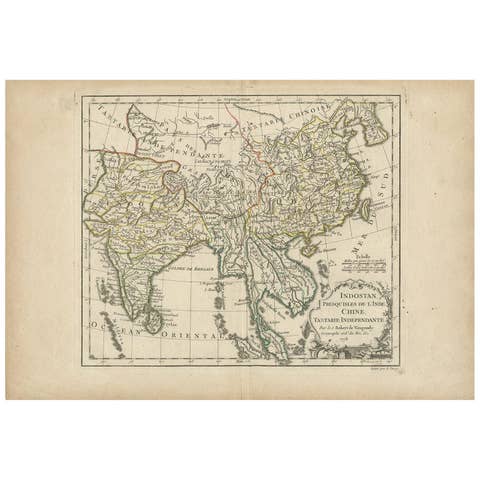
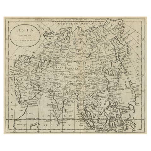
Asia in the Age of Exploration – Antique Map by Rigobert Bonne, c.1780
€ 360
One of a kind: this is the sheet in the photographs. Ships from Langweer, the Netherlands.
Date
1780
Sheet size
26 × 41 cm (10.2 × 16.1 in)
Condition
Good
Reference
BG-14105-4
Condition
Uniform age toning. Central fold as issued. Minor marginal wear and faint spotting.
About this sheet
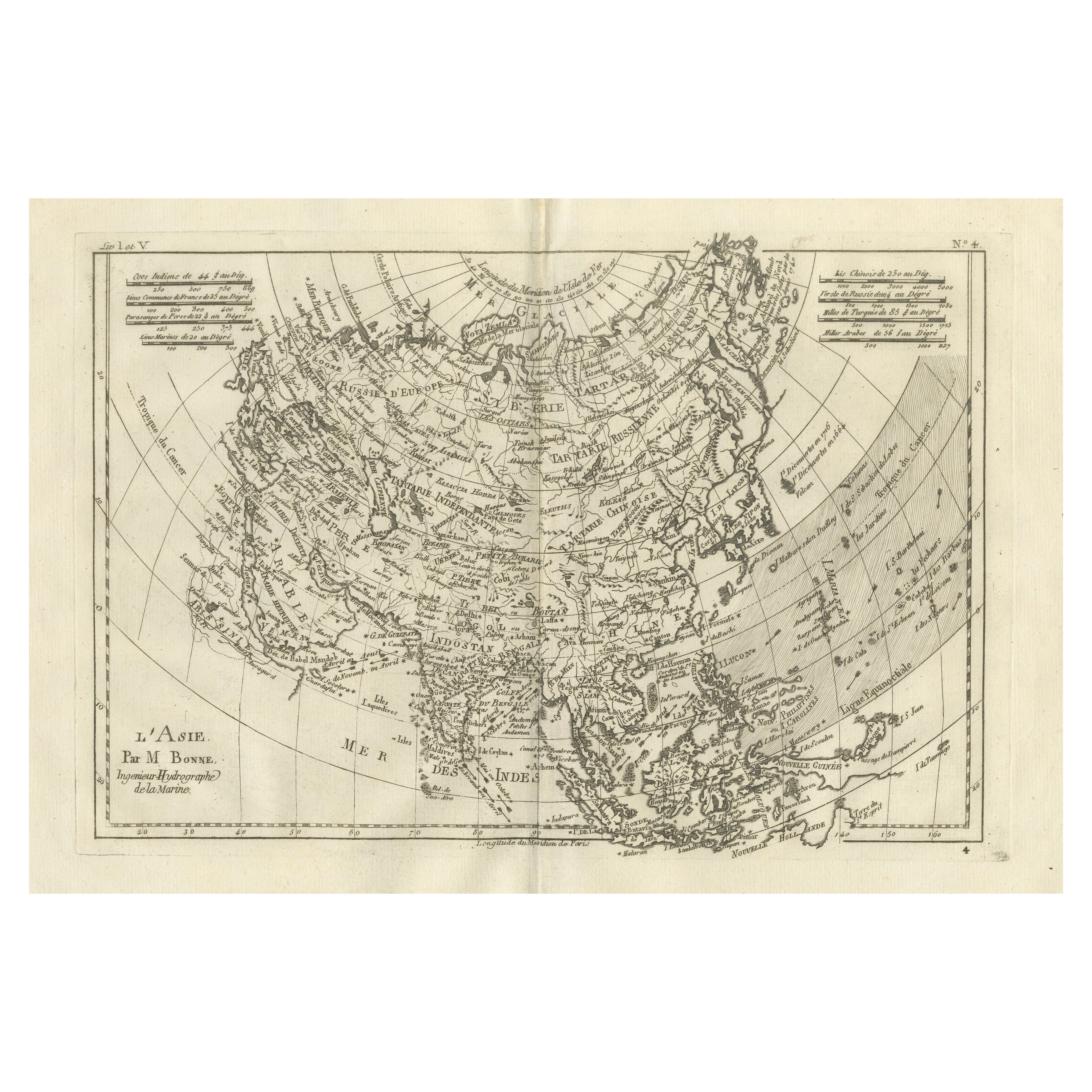
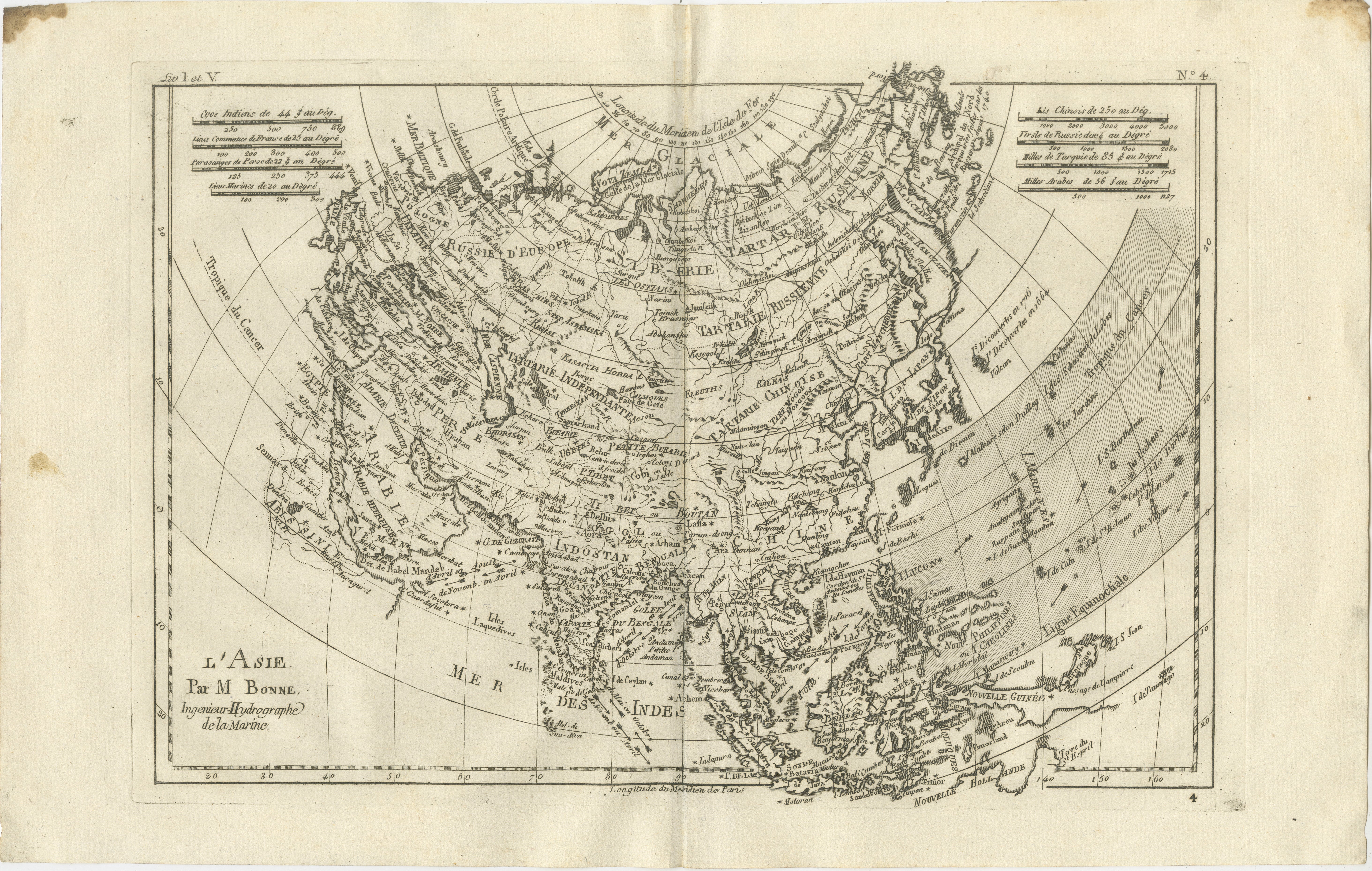
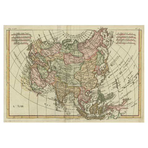
Asia in the Age of Exploration – Antique Map by Rigobert Bonne, c.1780
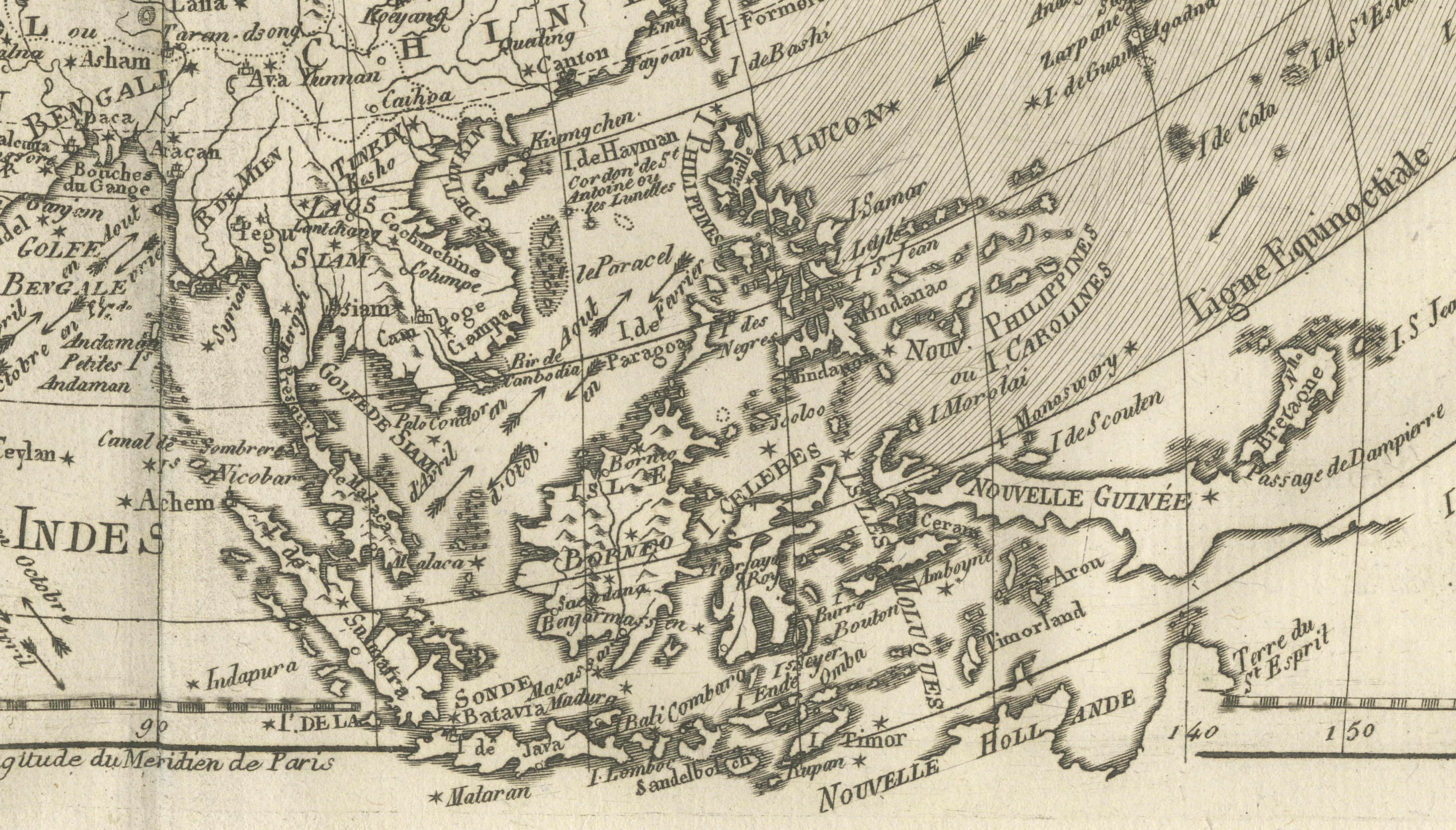
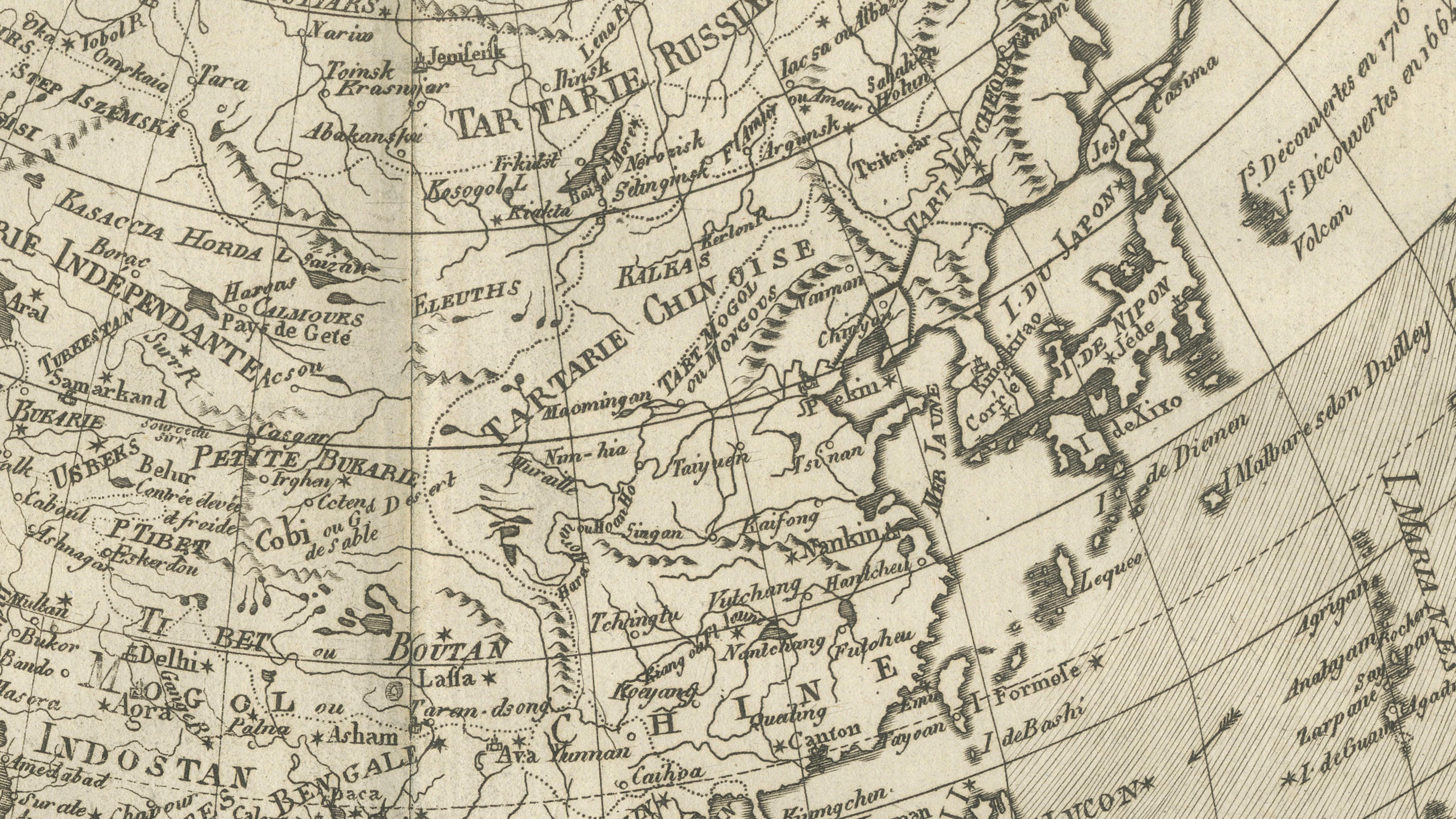
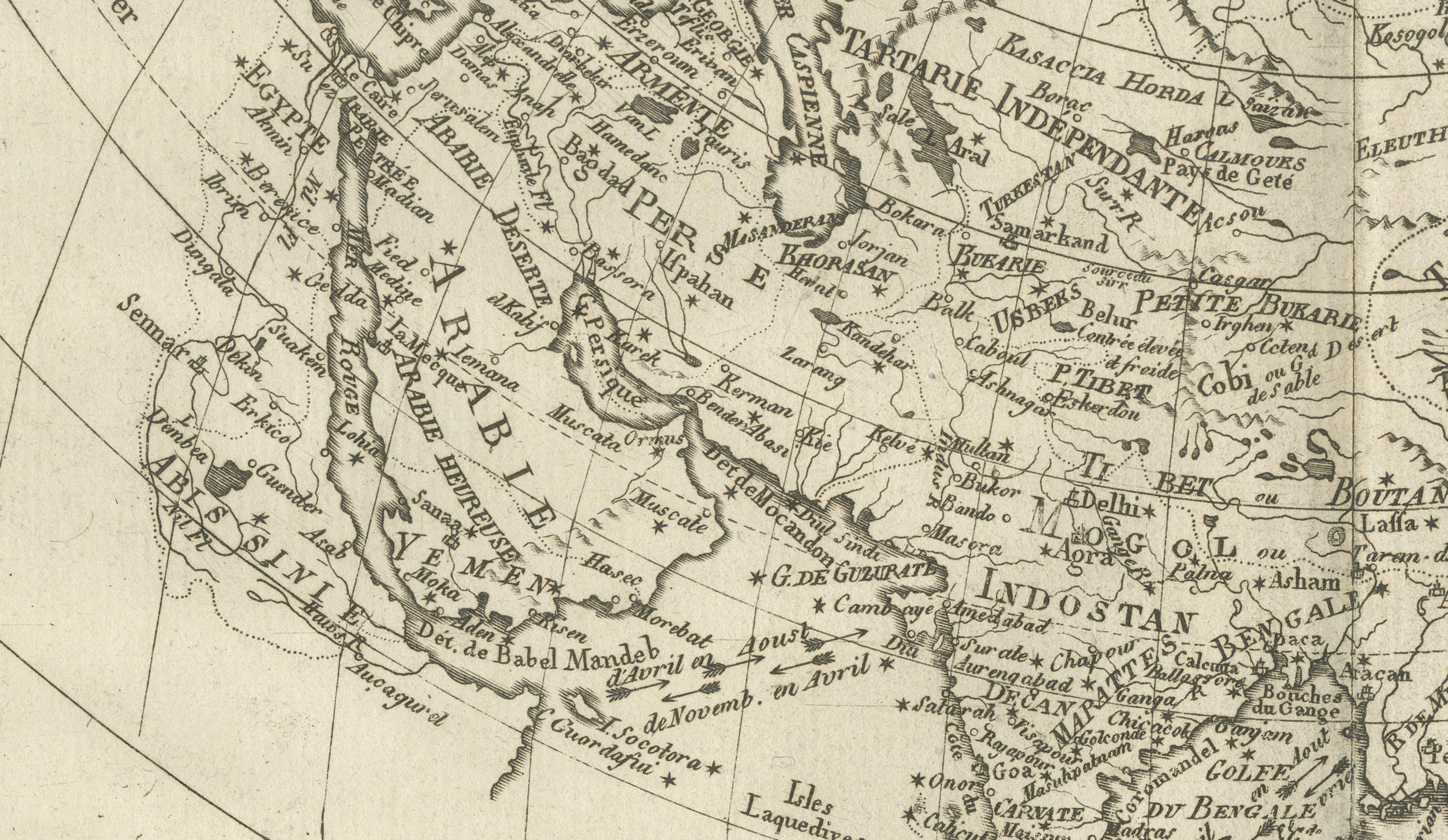
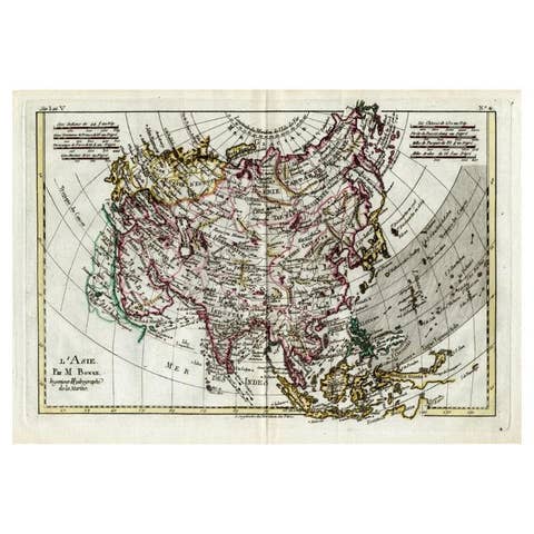
DESCRIPTION This engraved map of Asia reflects European geographic understanding during the late Enlightenment. Produced by Rigobert Bonne, it shows China, India, Southeast Asia, and the Indonesian archipelago with strong coastal accuracy, while Central Asia retains historic regional divisions. Trade routes, river systems, and key cities reflect Europe’s growing commercial and diplomatic engagement with Asia. Longitude measured from Paris reinforces its scientific context. The map’s restrained style favors clarity over ornament, making it a valuable reference image and an elegant display piece documenting Asia before 19th-century imperial cartography.
KEYWORDS Asia map, Silk Road regions, China India trade routes, East Indies, Japan Philippines, spice trade geography
CONDITION REPORT Uniform age toning. Central fold as issued. Minor marginal wear and faint spotting.
FRAMING TIPS Wide mat recommended; walnut or ebonized frame adds contrast and depth.
Technique: Engraving Maker: Rigobert Bonne, France, circa 1780