About this sheet
Antique Map of Turkestan – Vandermaelen Lithograph of Central Asia, 1827
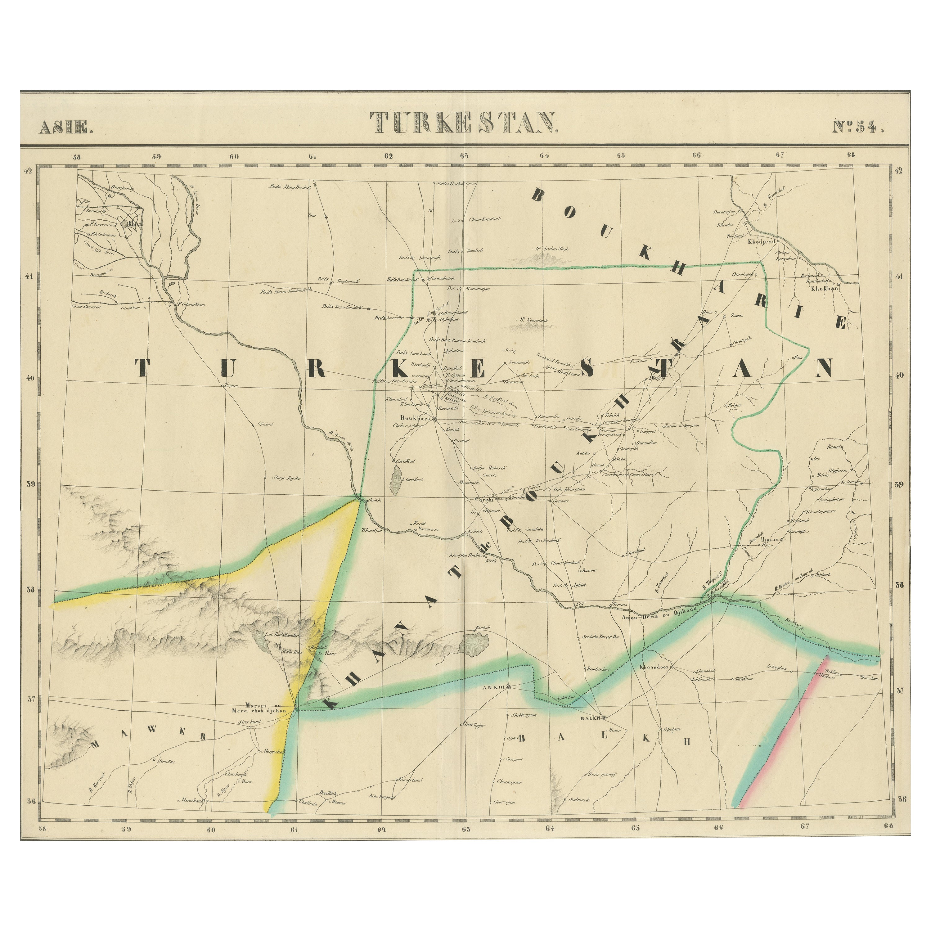
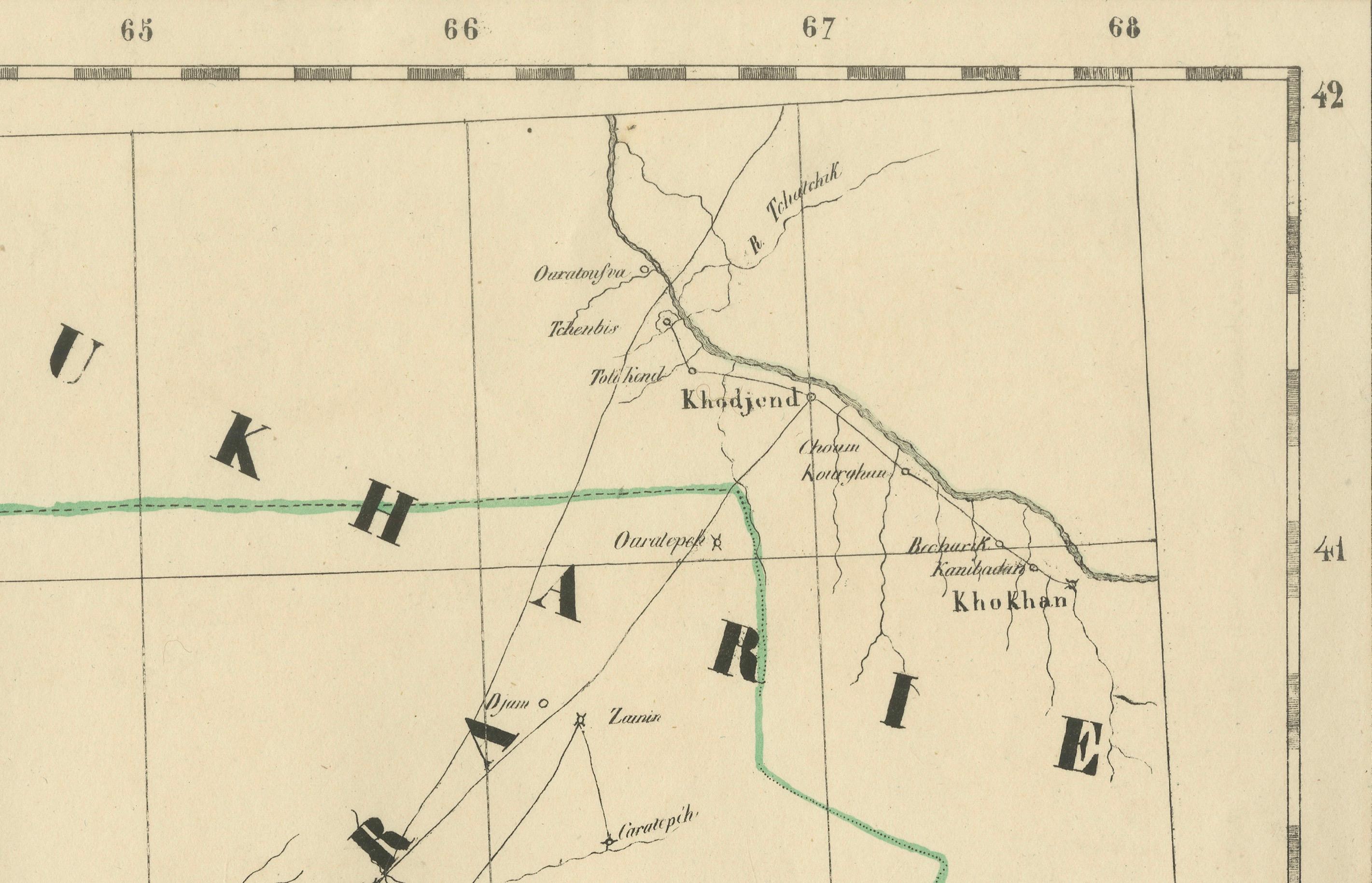
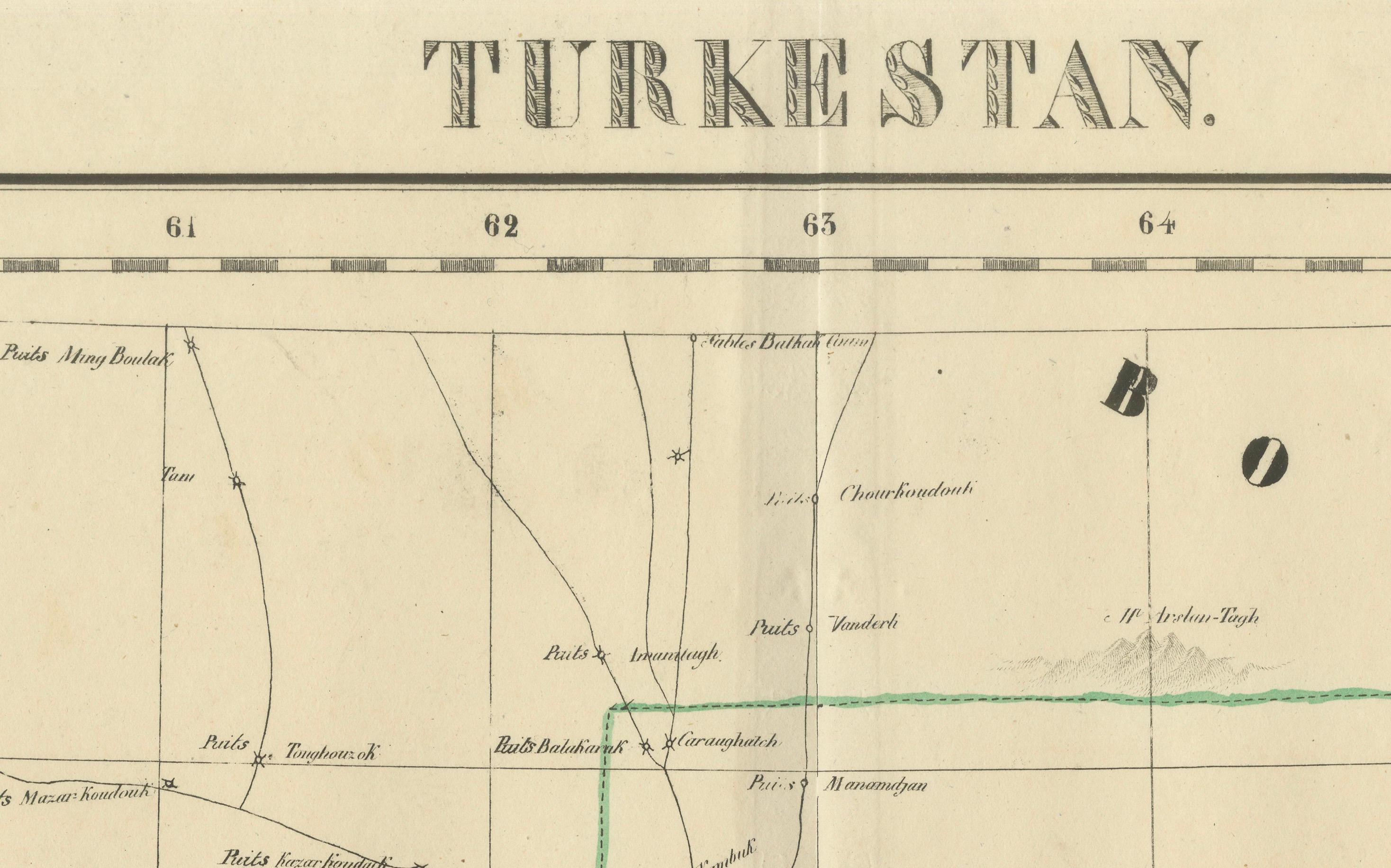
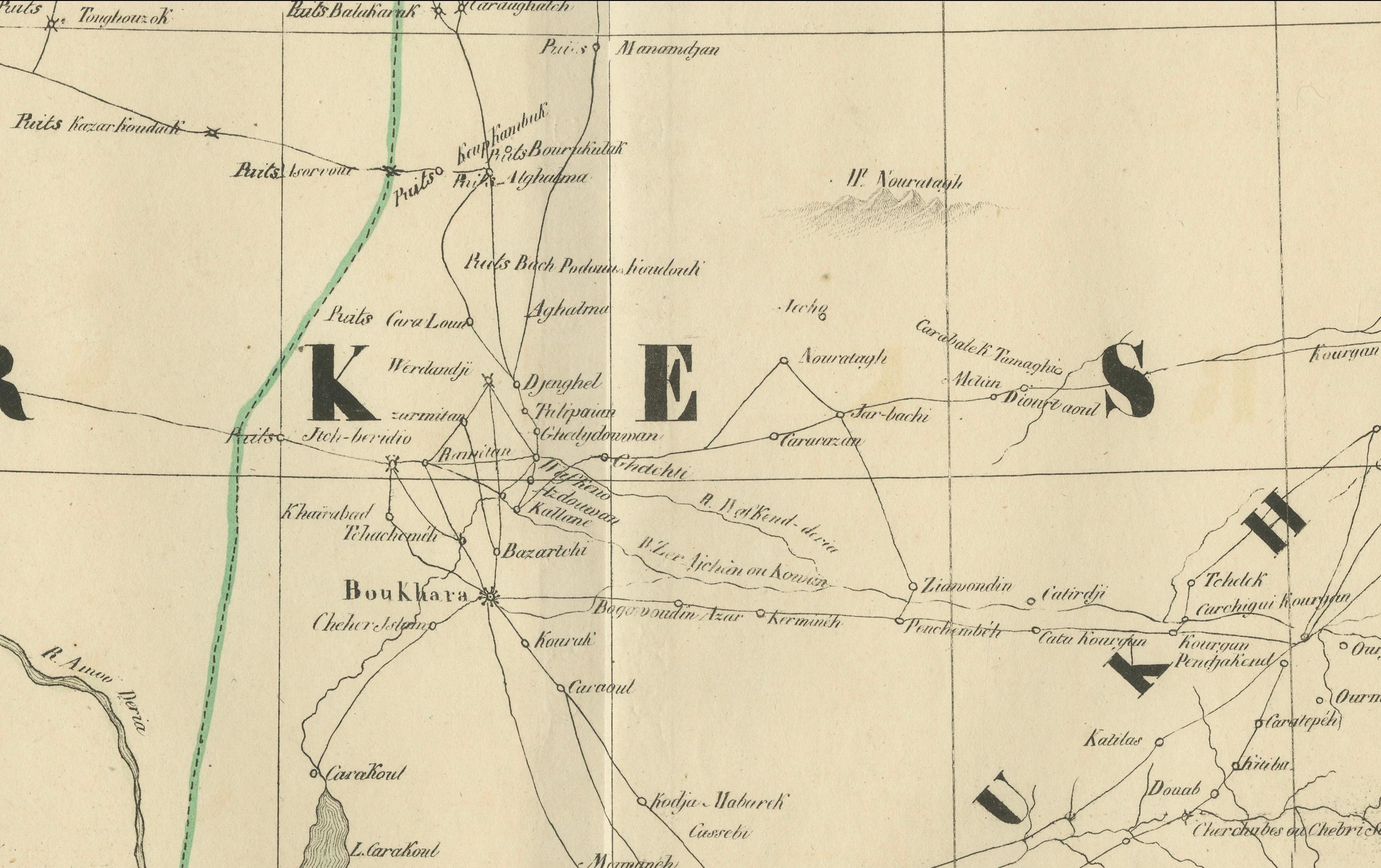
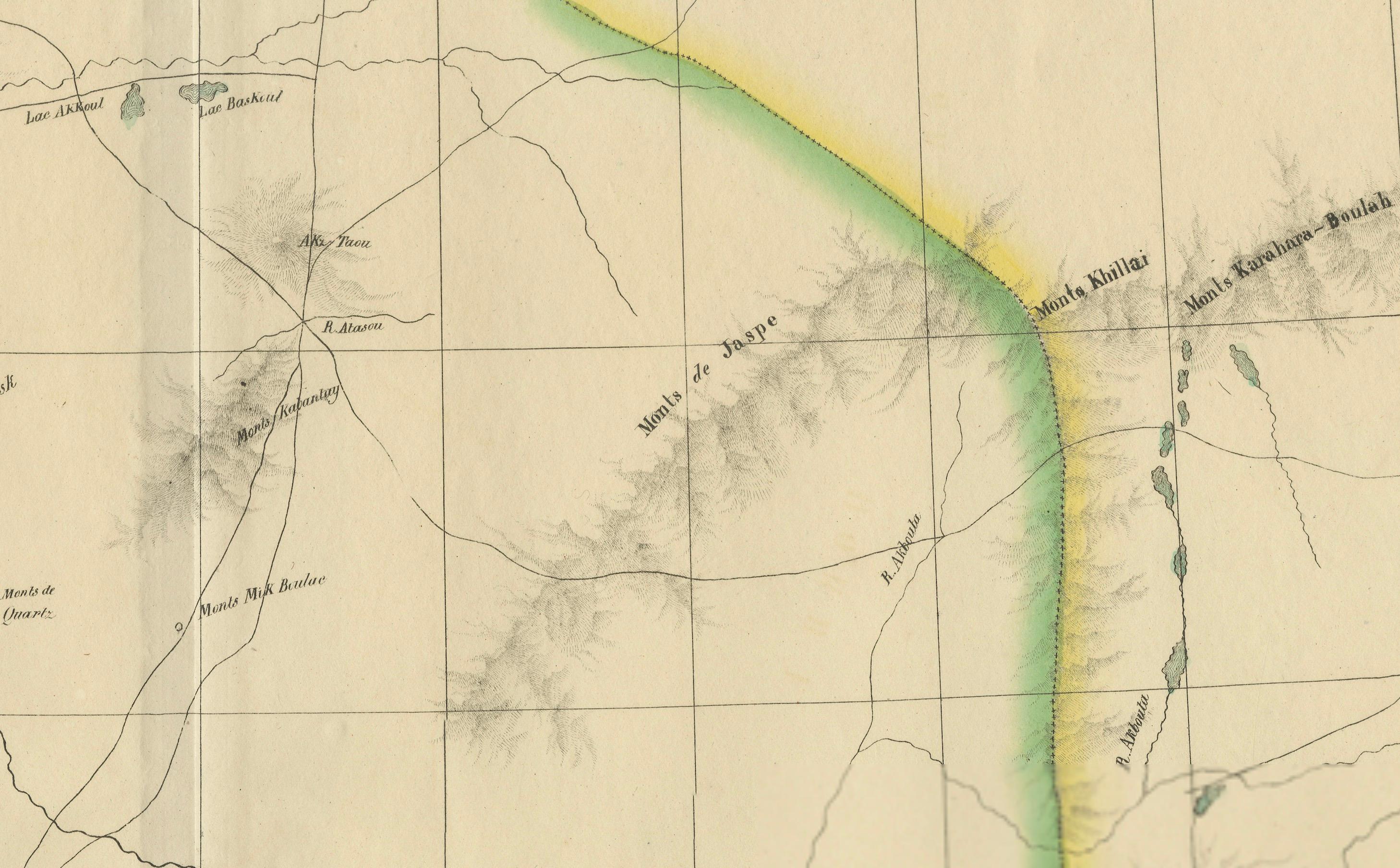
This finely detailed antique map titled “Turkestan” (No. 34) is an original lithograph from the groundbreaking Atlas Universel by Philippe Marie Vandermaelen, published in Brussels in 1827. This map offers a meticulous rendering of Central Asia during the early 19th century, a region that was then only partially explored by European geographers and cartographers.
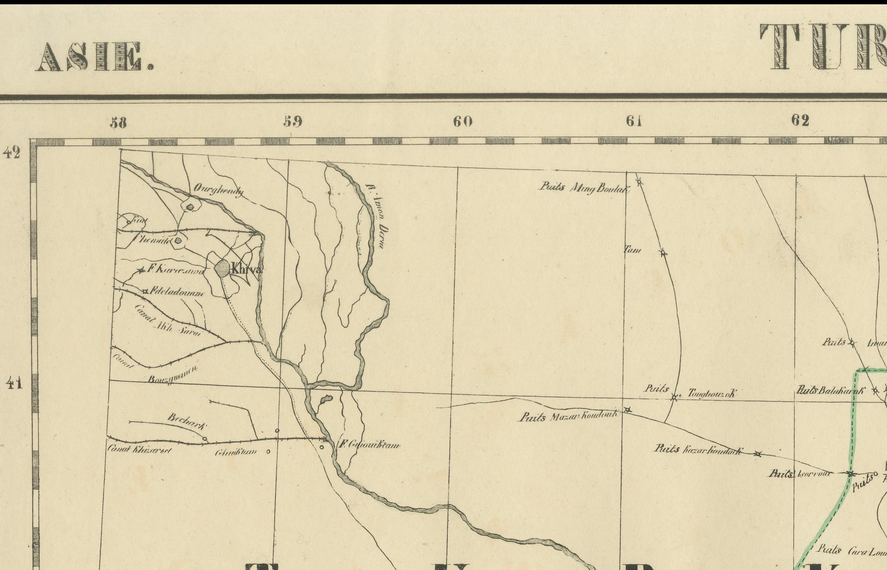
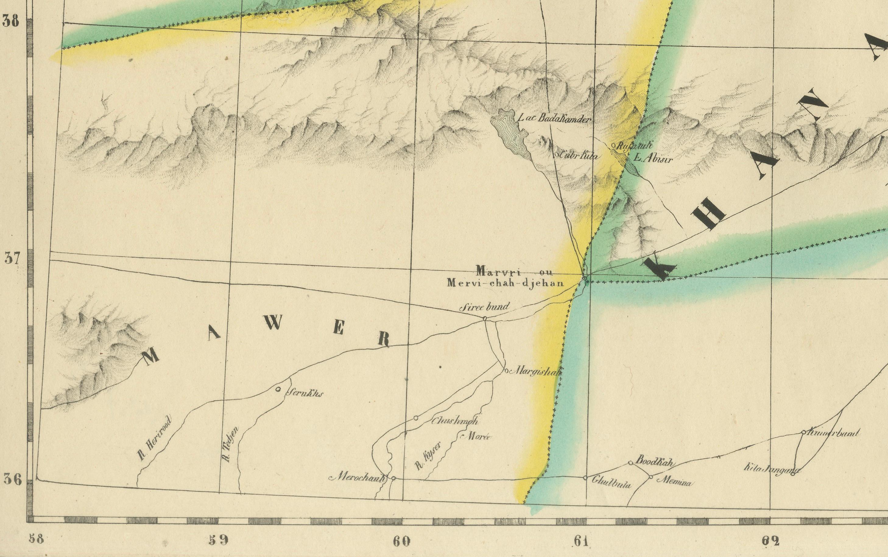
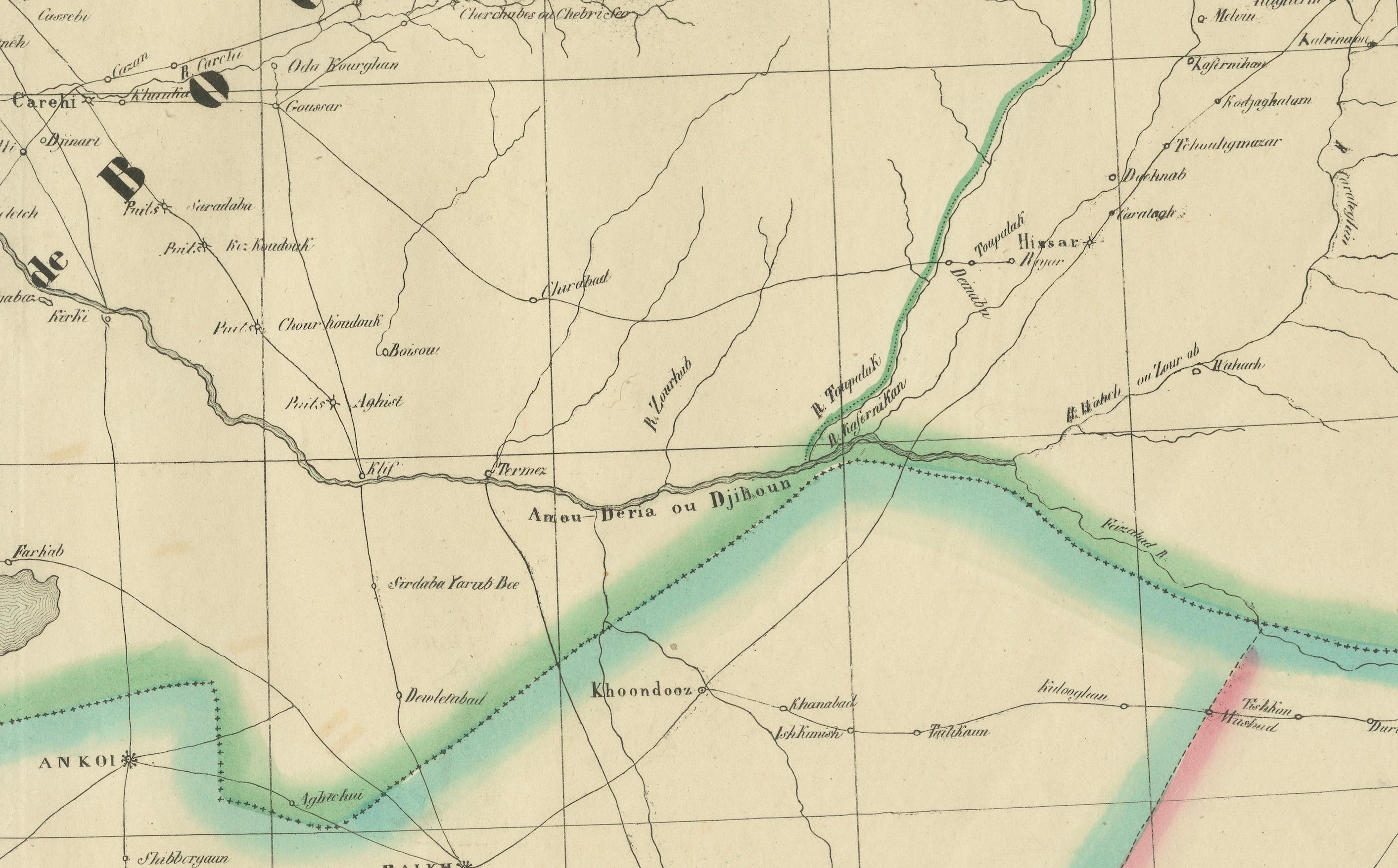
Centered on the heartland of Turkestan, this map covers key areas of present-day Uzbekistan, Turkmenistan, Tajikistan, and parts of northern Afghanistan. It features important cities of the time, including Samarkand, Tashkent, Bukhara (Boukhara), Khiva, and Balkh. Geographic features such as mountain ranges, rivers, roads, and political borders are carefully traced, and the map is hand-colored in outline to differentiate regional boundaries. The names “Roukharie,” “Turkestan,” “Khanat de Boukhara,” and “Mawer” appear prominently, capturing the political and tribal landscape as understood in Europe at the time.
Of particular note is the depiction of ancient trade routes and strategic cities along the Silk Road. This map reflects European interest in the Khanates of Central Asia, which were then independent powers at the fringes of Russian and British imperial interests. Vandermaelen's use of a uniform scale of 1:1,641,836 across all sheets in the atlas was revolutionary, allowing for a consistent global cartographic vision. Each sheet was designed to align with others to form a giant globe when assembled—an extraordinary concept for its time.
The map was produced at Vandermaelen’s pioneering Établissement Géographique in Brussels, one of the first institutions to use lithography for mass map production, and an important center for geographical and educational innovation in 19th-century Europe.
Condition: Good condition. Original hand-coloring in outline. Light age-related toning and minor handling marks, with no tears or repairs. A clean impression on strong paper, lightly creased along the original centerfold.
Framing tips: Ideal for display in a dark wood or ebonized frame with a pale ivory or warm gray mat to accentuate the fine linework and subtle hand-coloring. Works well as a standalone piece or in a group with other maps from the same atlas.
Technique: Lithograph with original hand color
Maker: Philippe Marie Vandermaelen, Brussels, 1827