About this sheet
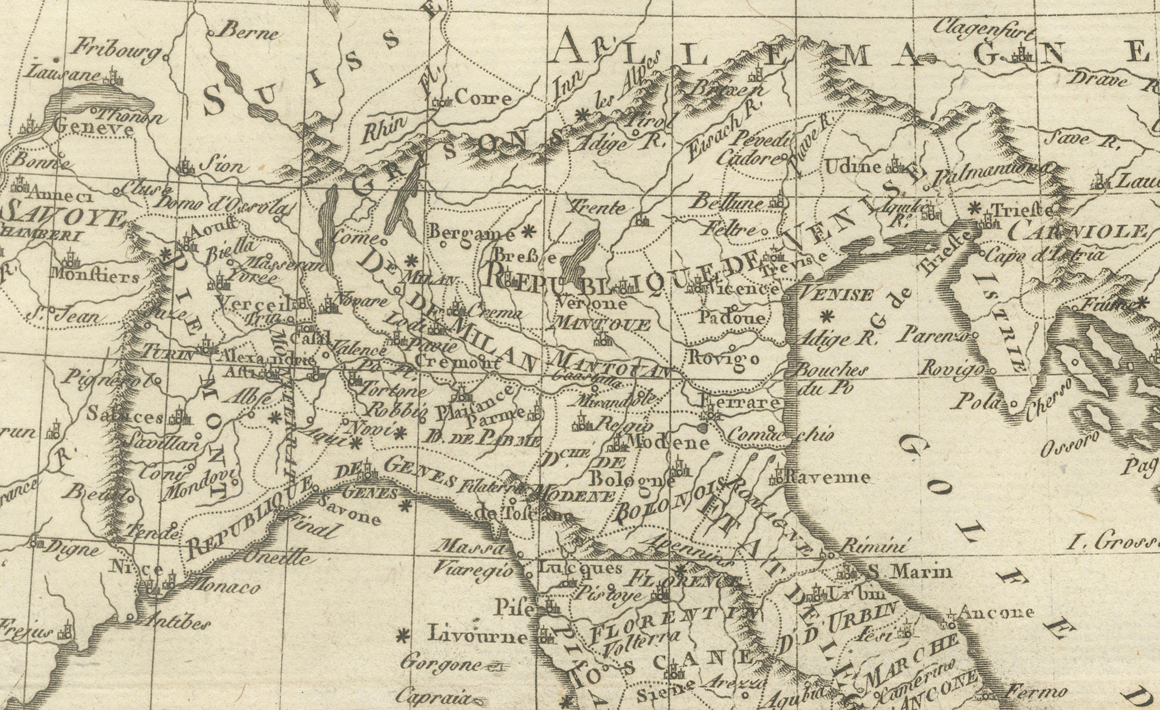
Italy Map by Rigobert Bonne – Classical Peninsula c.1780
DESCRIPTION
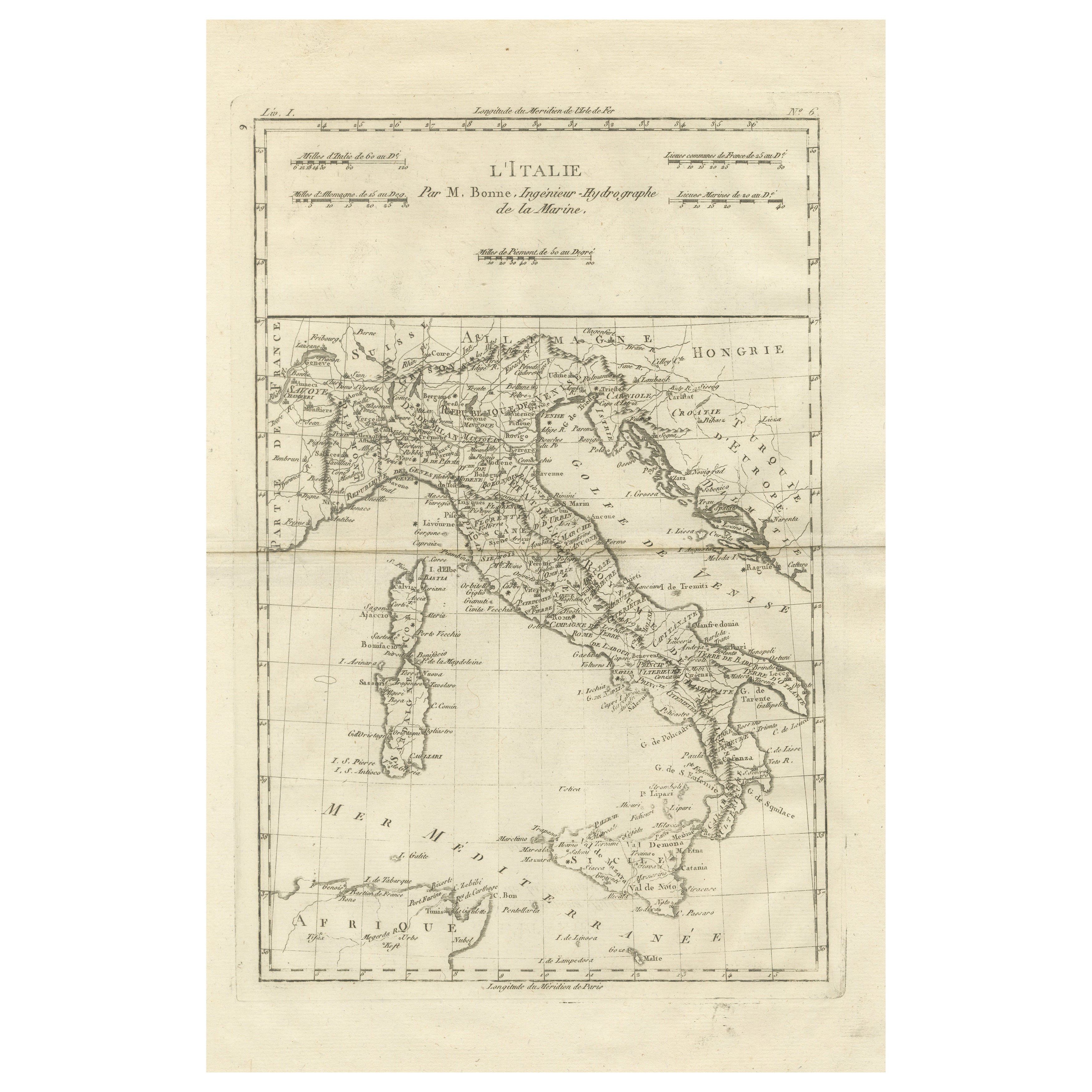
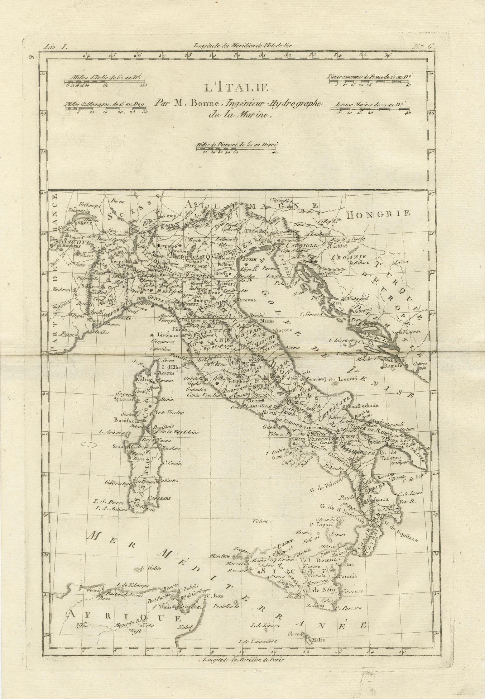
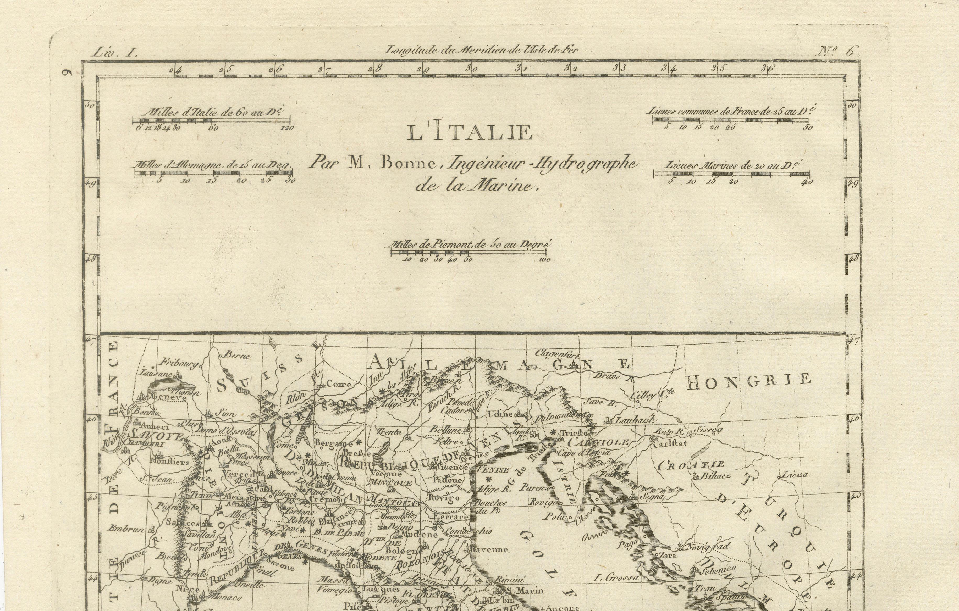
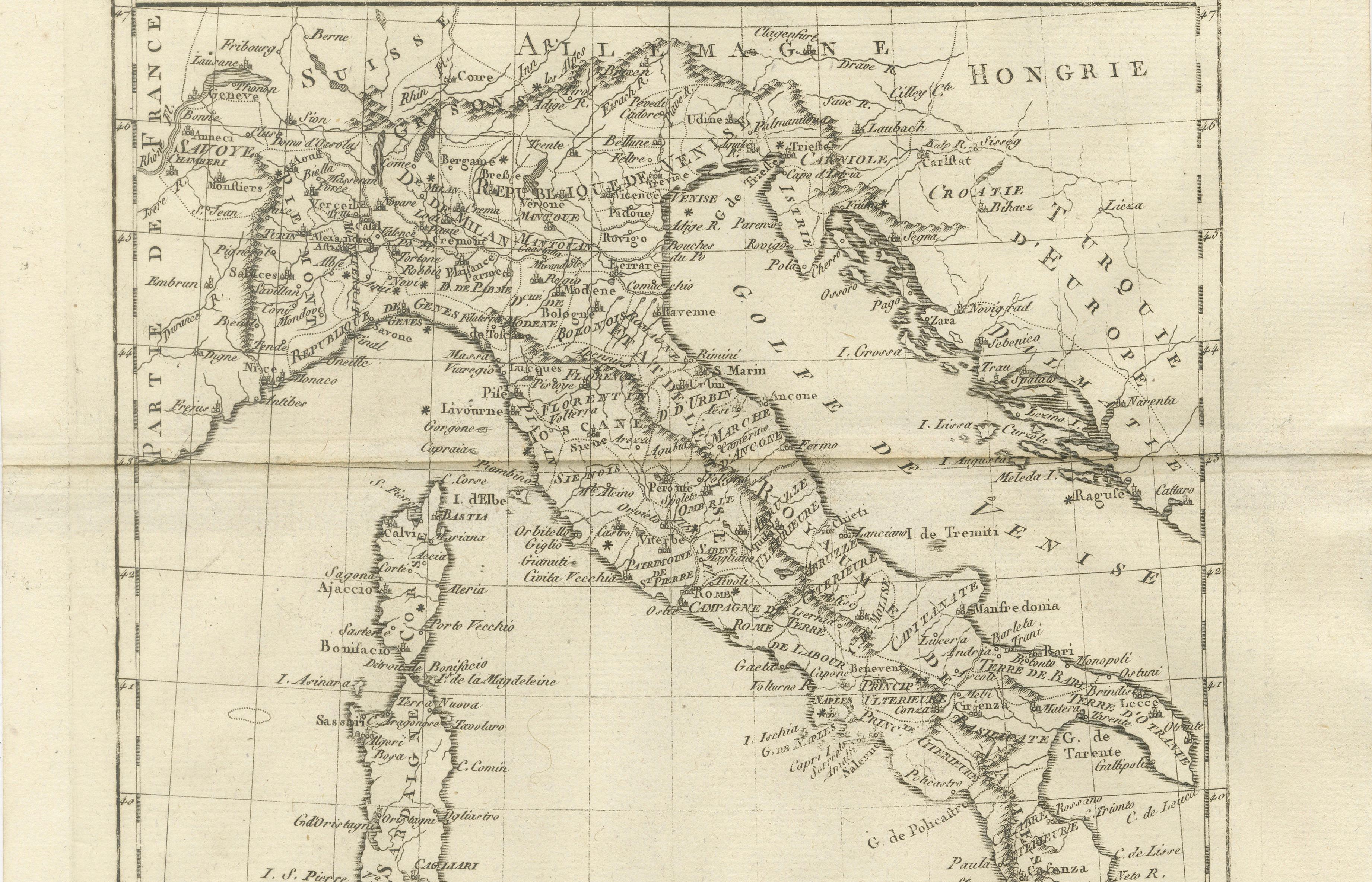
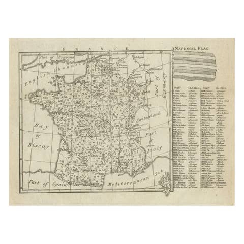
This engraved map focuses on the Italian peninsula before national unification. Compiled by Rigobert Bonne, it shows political divisions, cities, rivers, and coastlines with precision. Papal States, Kingdom of Naples, and northern Italian territories are clearly distinguished. The map reflects Italy’s cultural and commercial importance within Europe and would have been useful to diplomats, merchants, and Grand Tour travelers. Its clarity and balanced composition make it both historically informative and visually refined.
KEYWORDS
Italy map, Rome Naples Venice Florence, Papal States, Grand Tour Italy, Mediterranean routes, classical geography
CONDITION REPORT
Even toning. Central fold as issued. Minor edge wear and light foxing.
FRAMING TIPS
Off-white mat with classic dark wood or muted gilt frame enhances engraving detail.
Technique: Engraving
Maker: Rigobert Bonne, France, circa 1780