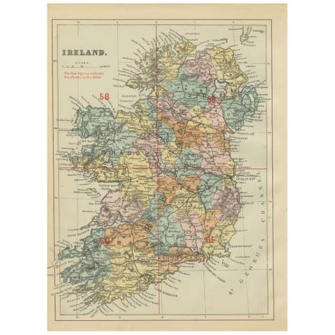
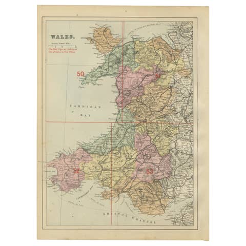
Antique Ireland Map with County Divisions – Decorative Wall Chart, 1884
€ 360
One of a kind: this is the sheet in the photographs. Ships from Langweer, the Netherlands.
Date
1884
Sheet size
61.2 × 45.3 cm (24.1 × 17.8 in)
Condition
Good
Reference
BG-13601-3-8
Condition
Very good condition. Original hand coloring remains clear and vibrant. Center fold as issued. Margins with light age toning and faint spotting, consistent with age.
About this sheet
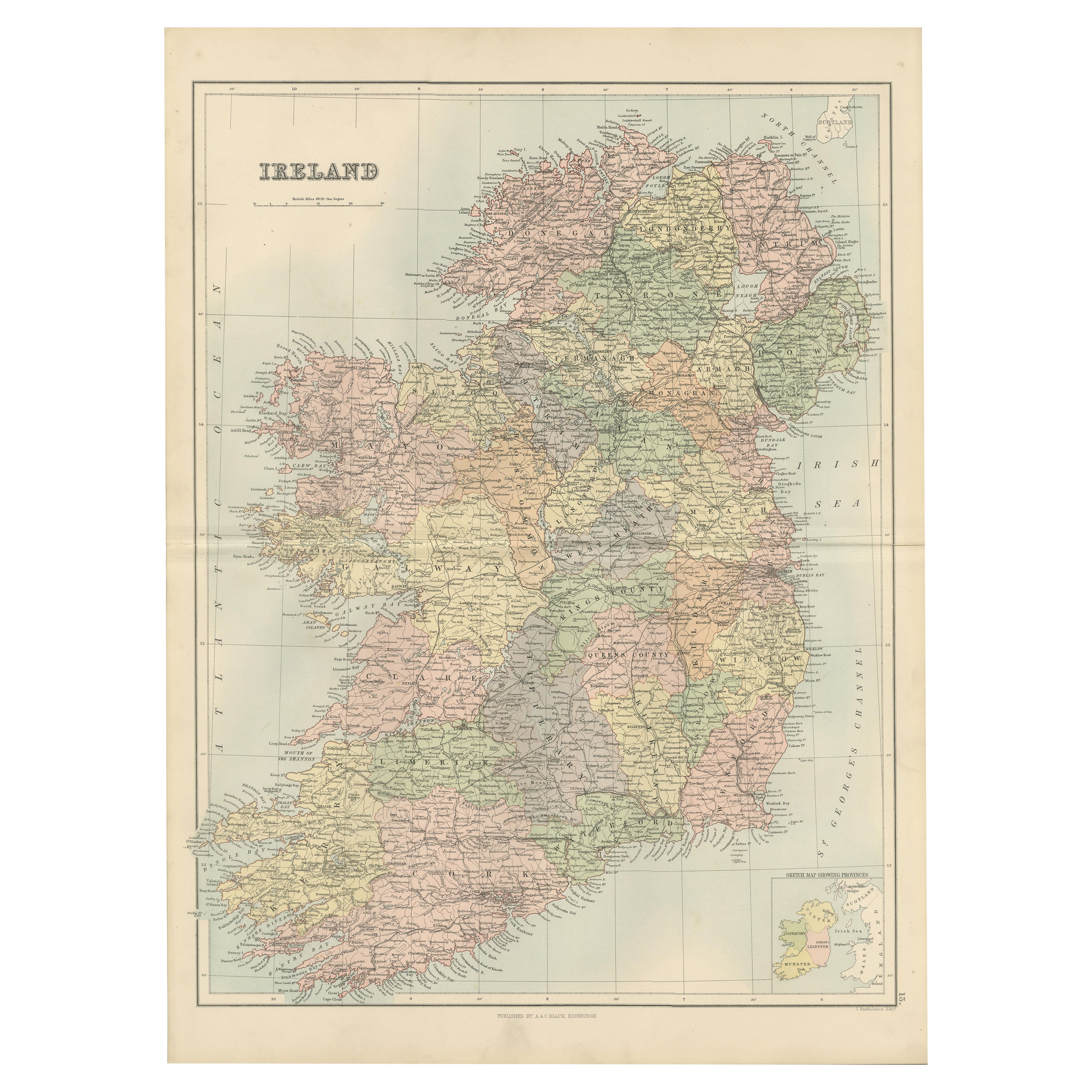
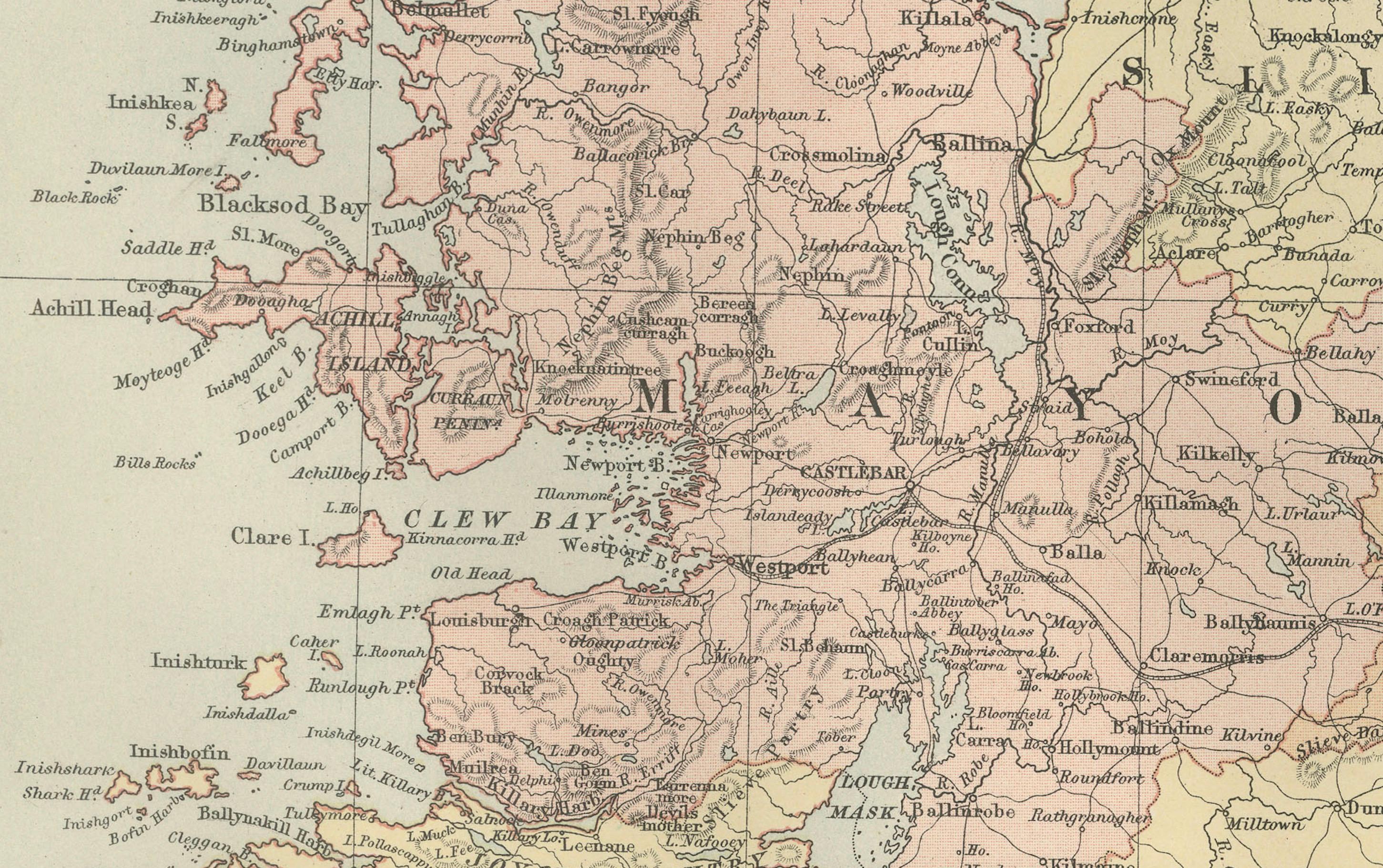
Antique Map of Ireland with Counties – Black’s Atlas, 1884 This finely detailed engraved map of Ireland was published in the New and Revised Edition of Black’s General Atlas of the World, Edinburgh, 1884. It presents the entire island of Ireland divided into counties, each shaded in a distinct hand-applied color wash, and offers an exceptional record of Ireland in the late 19th century.
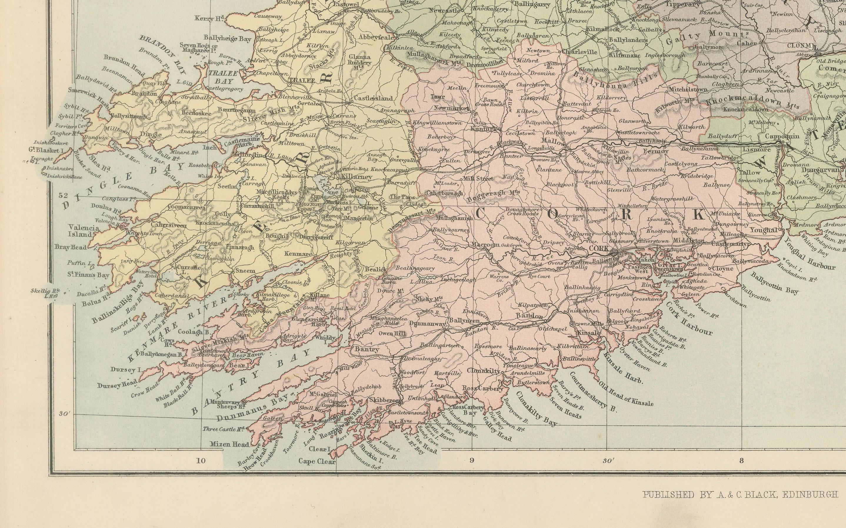
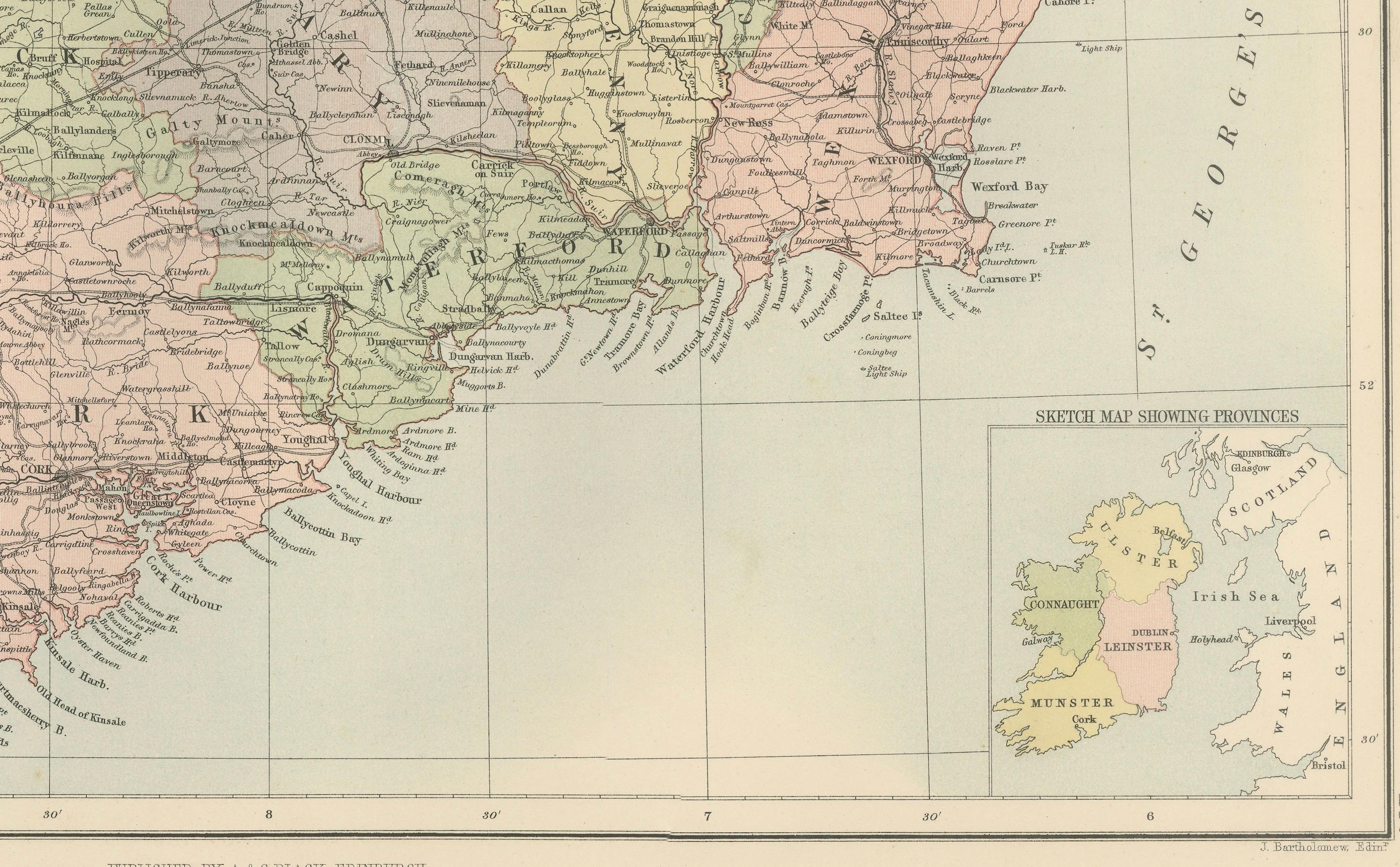
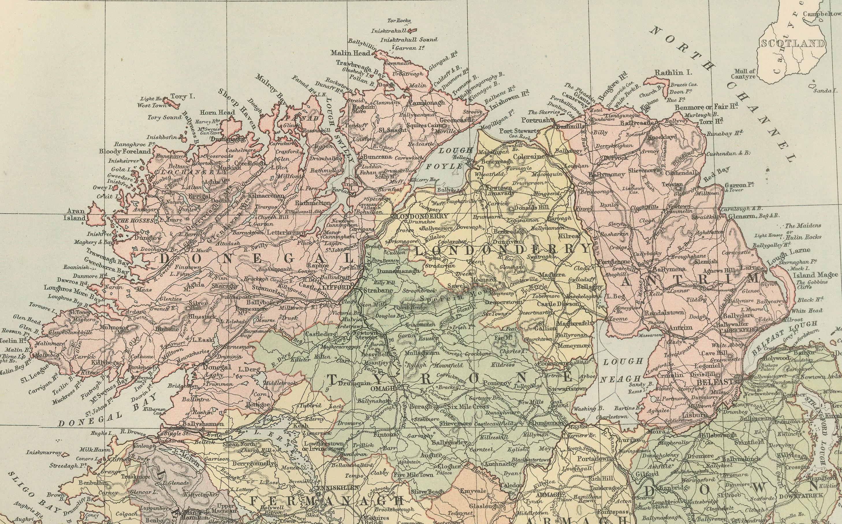
The map shows all four provinces—Ulster, Connaught, Leinster, and Munster—with their counties carefully distinguished. Major towns and cities are clearly labeled, including Dublin, Cork, Galway, Limerick, and Belfast. The road and rail networks are finely drawn, reflecting Ireland’s increasing connectivity during the Victorian period. Rivers, lakes, bays, and coastal features are meticulously engraved, with the Shannon River and Lough Neagh particularly prominent.
An inset map in the lower right corner shows Ireland’s position relative to Great Britain and Europe. This emphasizes the island’s geographical context, situated at the edge of the Atlantic and adjacent to the Irish Sea and St. George’s Channel.
This map is both a decorative and historical piece, offering a valuable insight into Ireland before the political transformations of the 20th century. It stands as an elegant example of late Victorian cartography, blending accuracy, clarity, and artistry.
Condition report: Very good condition. Original hand coloring remains clear and vibrant. Center fold as issued. Margins with light age toning and faint spotting, consistent with age.
Framing tips: An archival mat in ivory or cream pairs well with the soft pastel coloring of the counties. A dark oak or black frame offers contrast, while a gilt frame highlights its Victorian character. UV-protective glass is recommended to preserve the freshness of the colors.
Technique: Engraving with original hand coloring Maker: Black’s General Atlas, Edinburgh, 1884