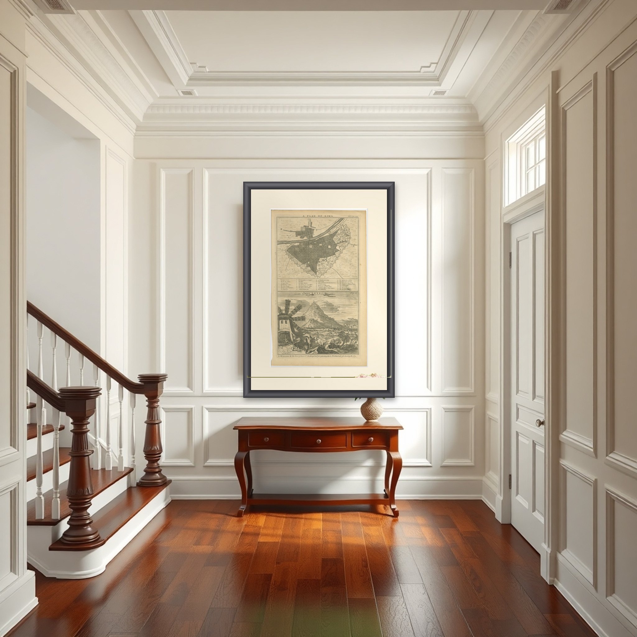
Original Antique Plan of Lima and View of Potosí by A. & J. Churchill, c.1744
€ 440
Original antique · The actual sheet photographed · Certificate of authenticity on request · Sold unframed · Worldwide shipping from € 15 (rates)
Date
1744
Sheet size
40.7 × 25 cm (16.0 × 9.8 in)
Condition
Good
Reference
BG-14303-31
What the condition grades mean
Excellent
Bright and clean, with no faults worth mentioning.
Very good
Only light signs of age, such as faint toning.
Good
Normal signs of age for a sheet of this period: toning, some foxing, small marks or neat old repairs.
Fair
Clear faults such as staining, tears or repairs, priced to match.
Every fault we see is written in the condition note, and the whole sheet is shown uncropped in the photos.
Condition
Good condition considering its age. General age-related toning, occasional foxing and minor handling wear. Please review the images for further condition details.
About this sheet
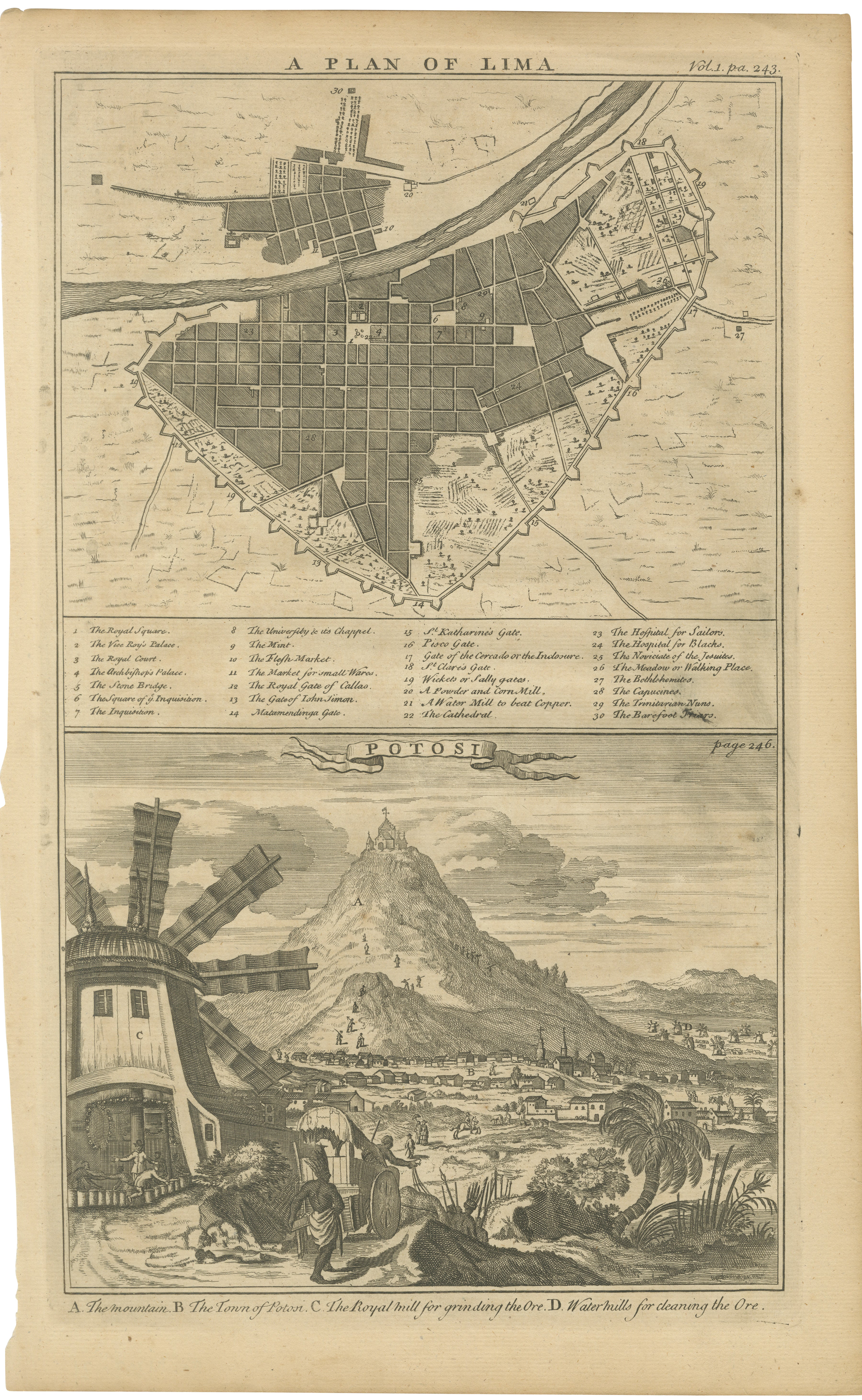
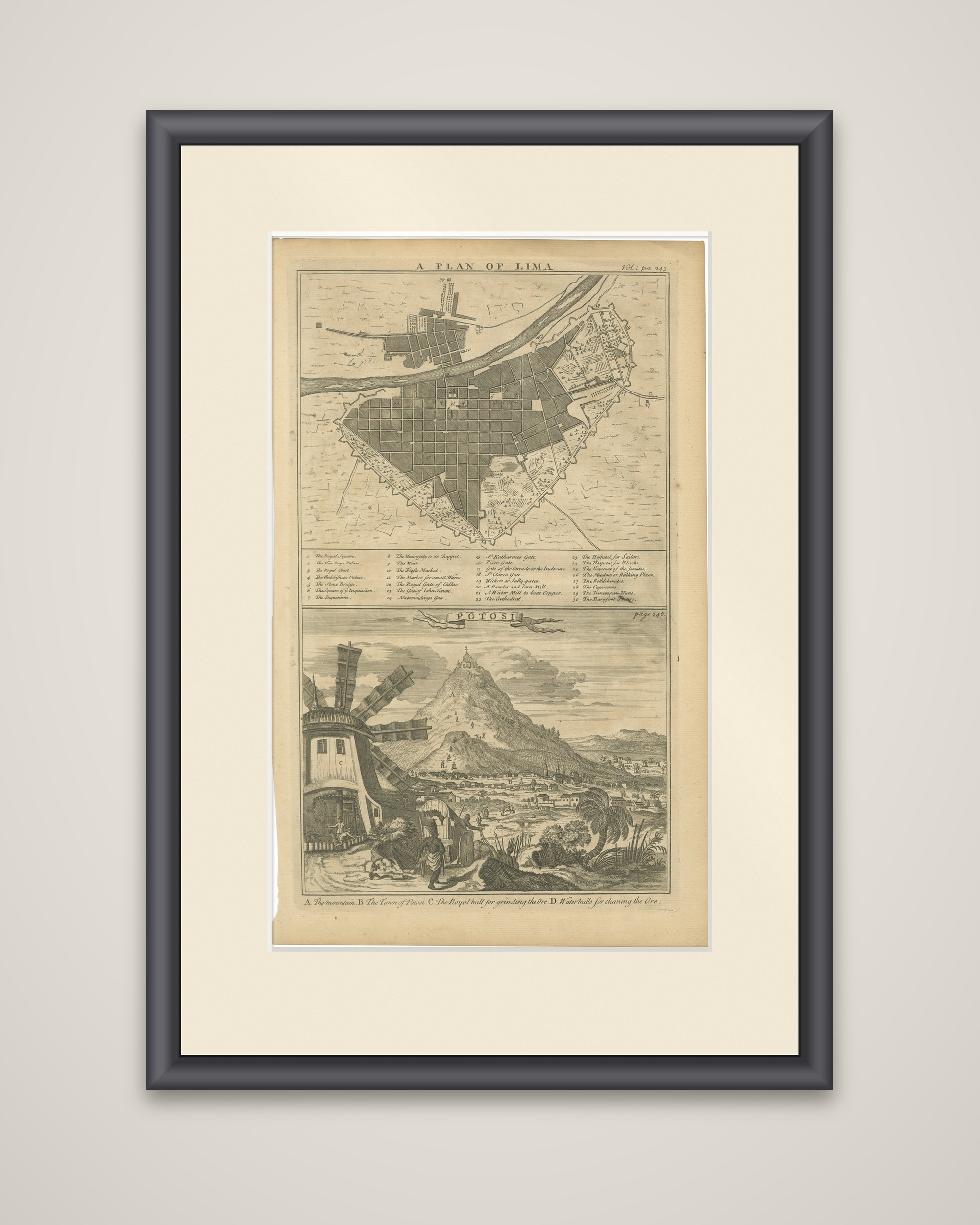
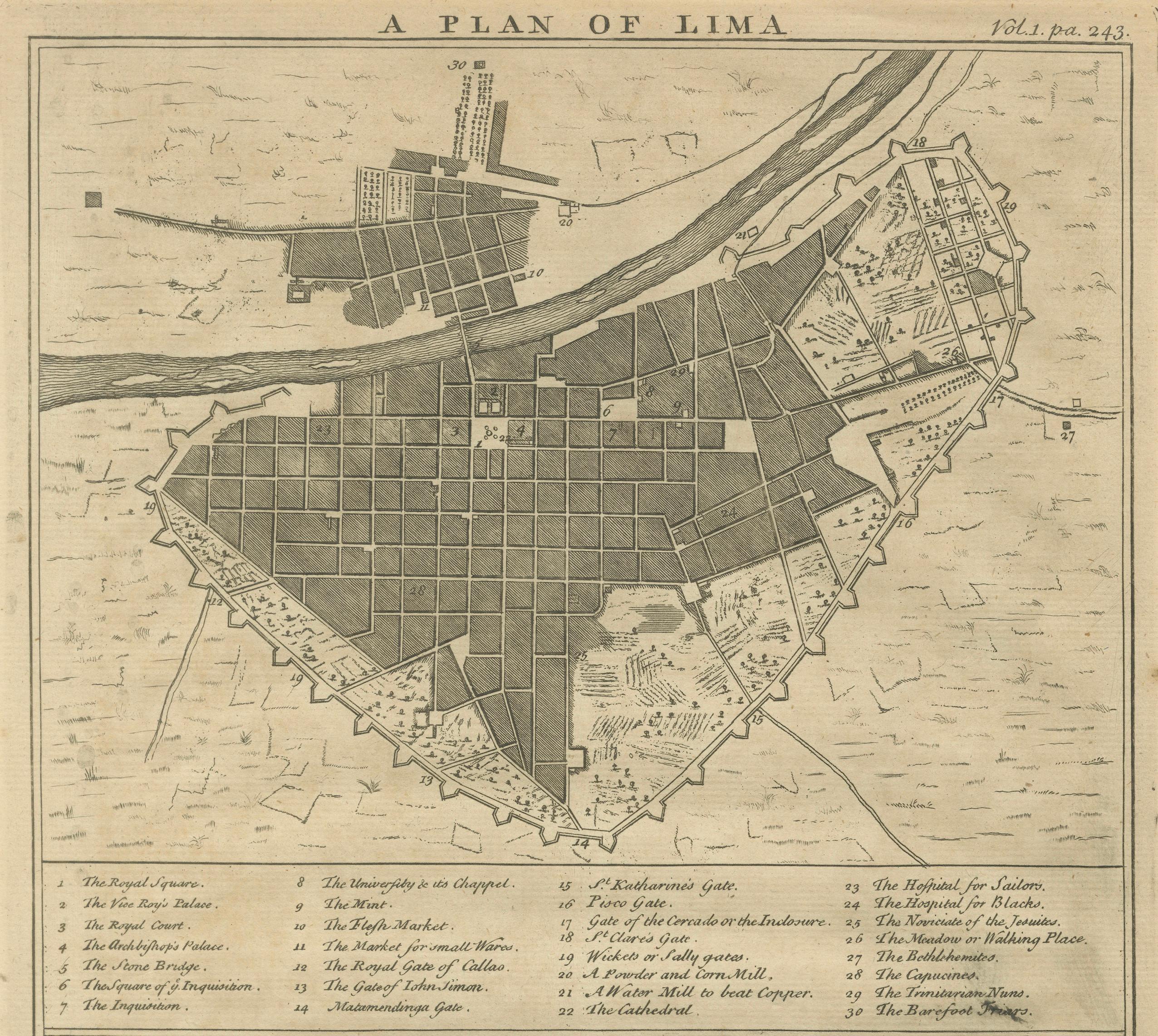
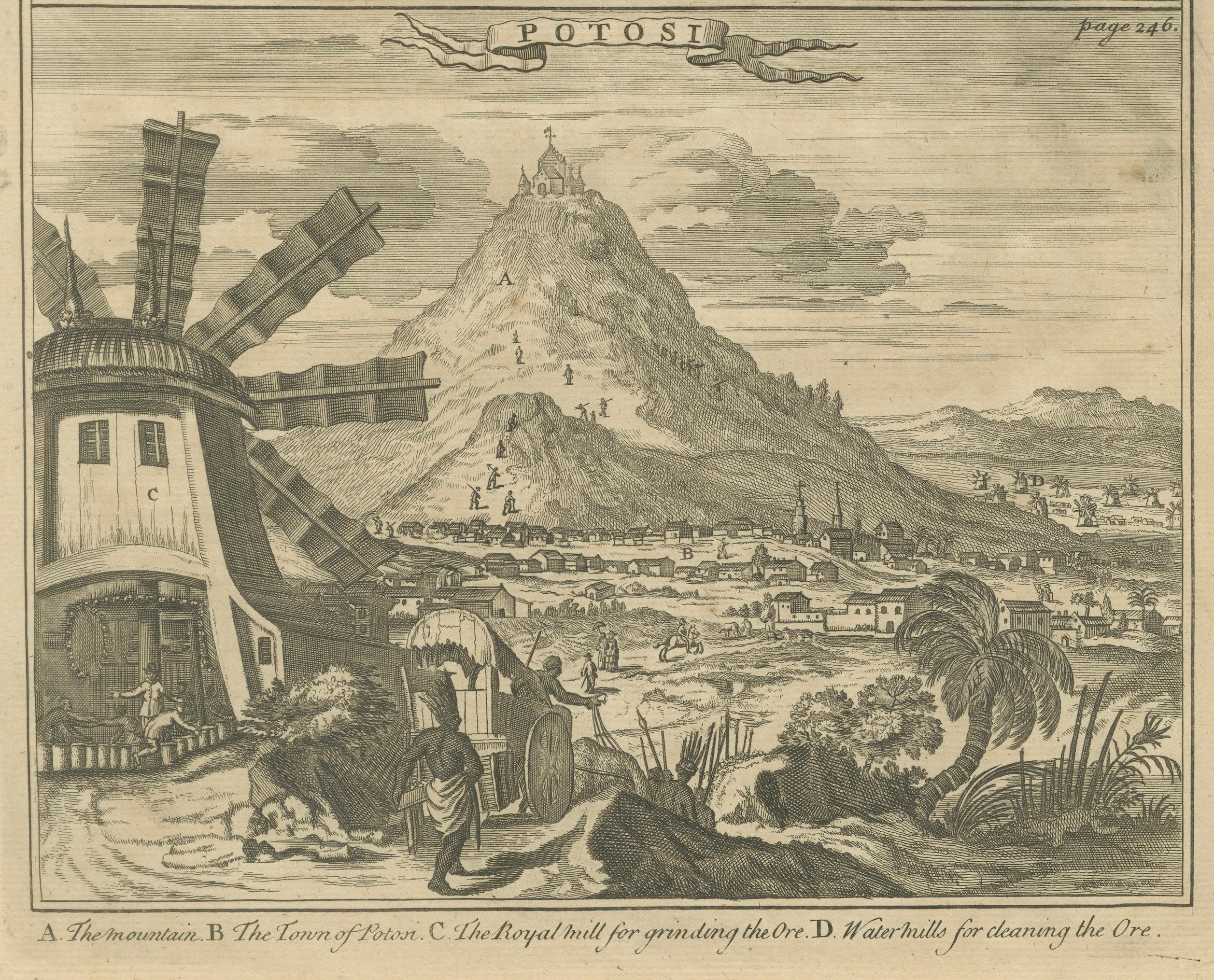
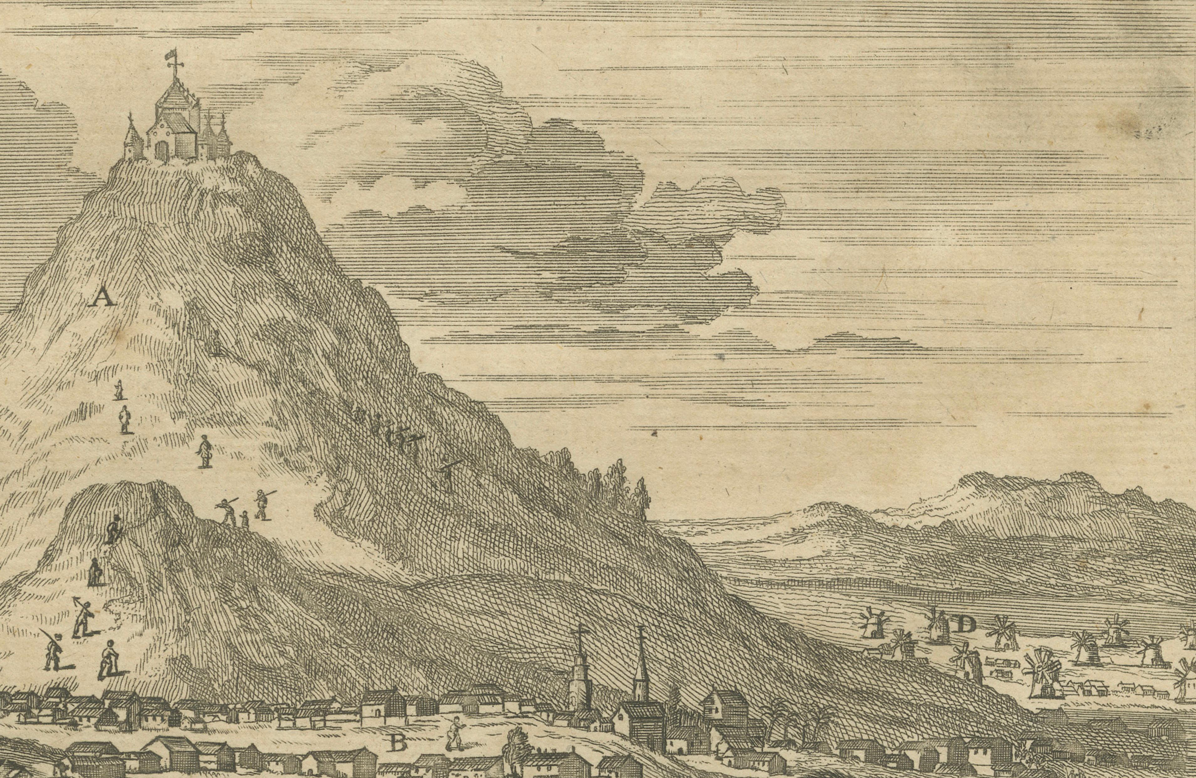
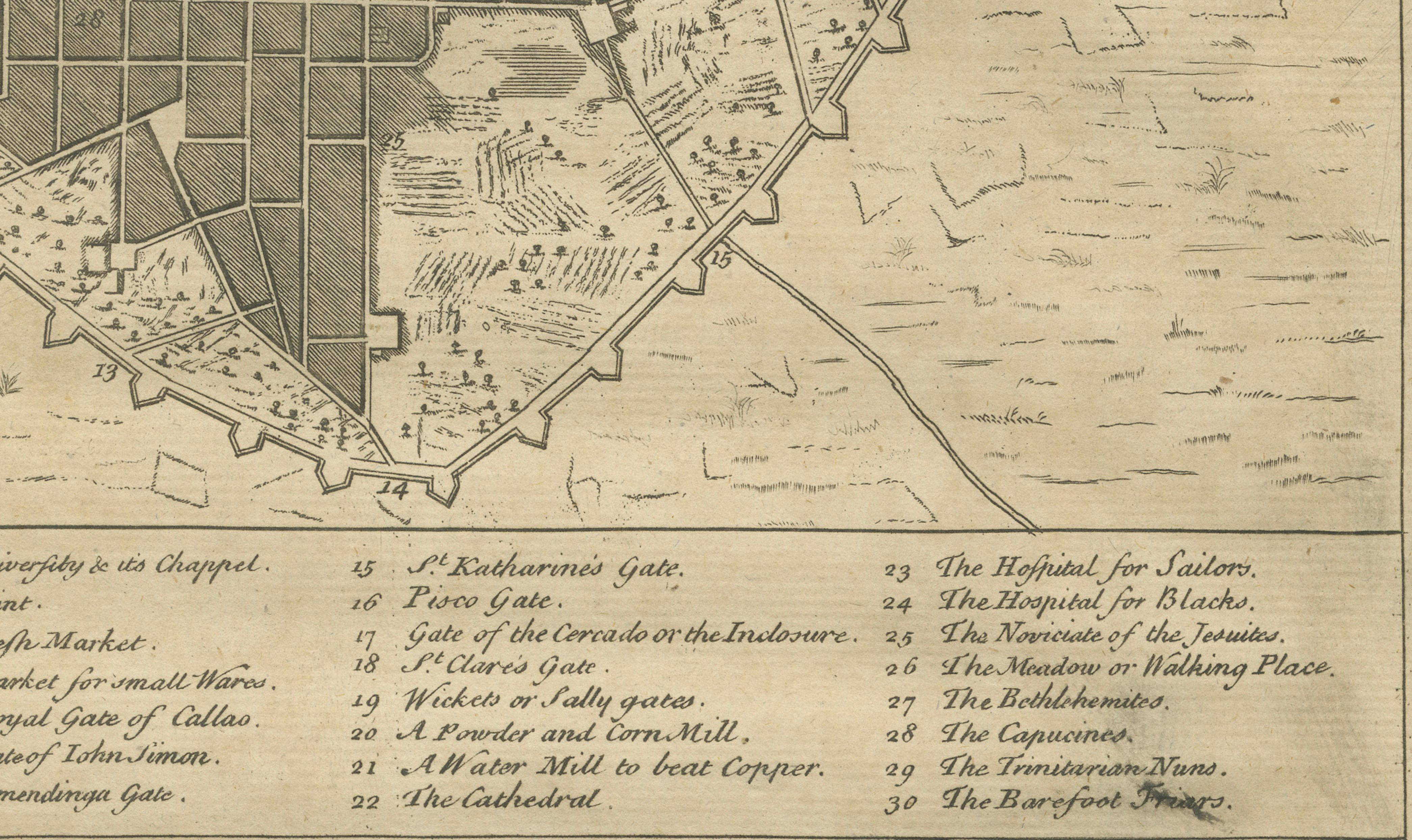
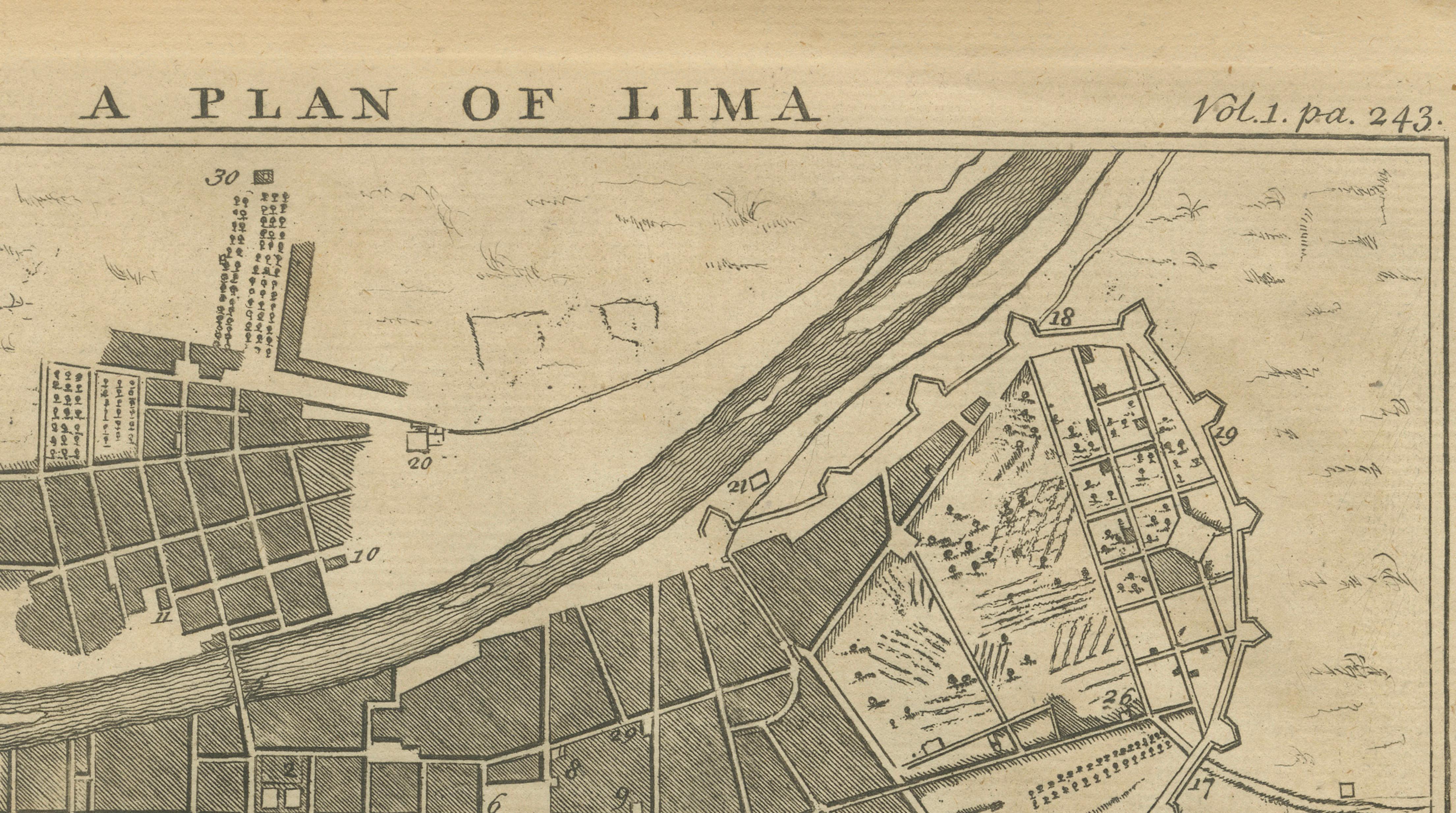
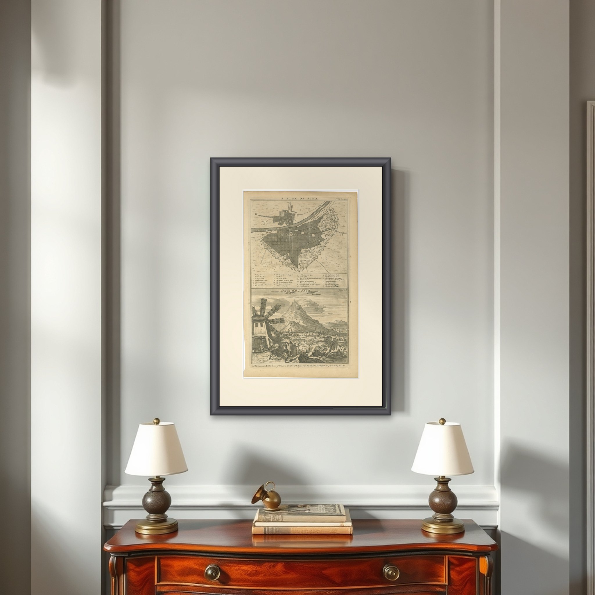
A plan of Lima above a view of Potosí, an original copperplate engraving published in London around 1744 in A Collection of Voyages and Travels by Awnsham and John Churchill. The two images share one sheet: "A Plan of Lima" in the upper half, and "Potosi" below.
The plan shows the walled capital of the Viceroyalty of Peru as a grid of blocks within a bastioned outline, with the Rímac River crossing the upper part of the sheet. A key of thirty numbered entries below the plan names the principal sites, including the Royal Square, the Royal Palace, the Cathedral, the Inquisition, markets, hospitals and city gates. In the lower view, the cone of Cerro Rico rises above the town of Potosí, with a windmill and workers with a cart in the left foreground and low buildings spread across the plain. A caption lettered A to D names the mountain, the town, and the mills for grinding and cleaning the ore.
Cerro Rico's silver made Potosí one of the richest cities of the Spanish Empire; it lies in present-day Bolivia, but was then part of the Viceroyalty of Peru.