About this sheet
US Crop Distribution Map 1870, Walker Statistical Atlas Lithograph
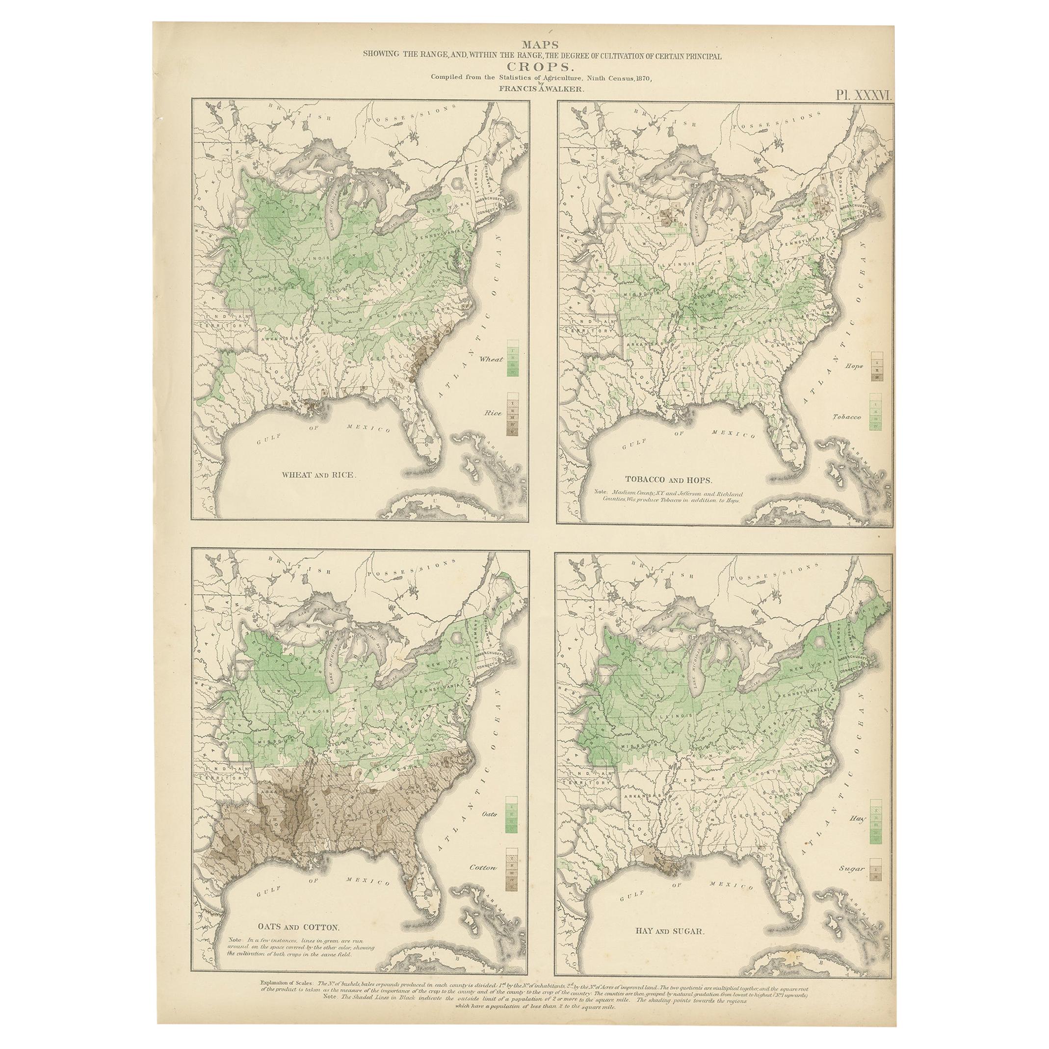
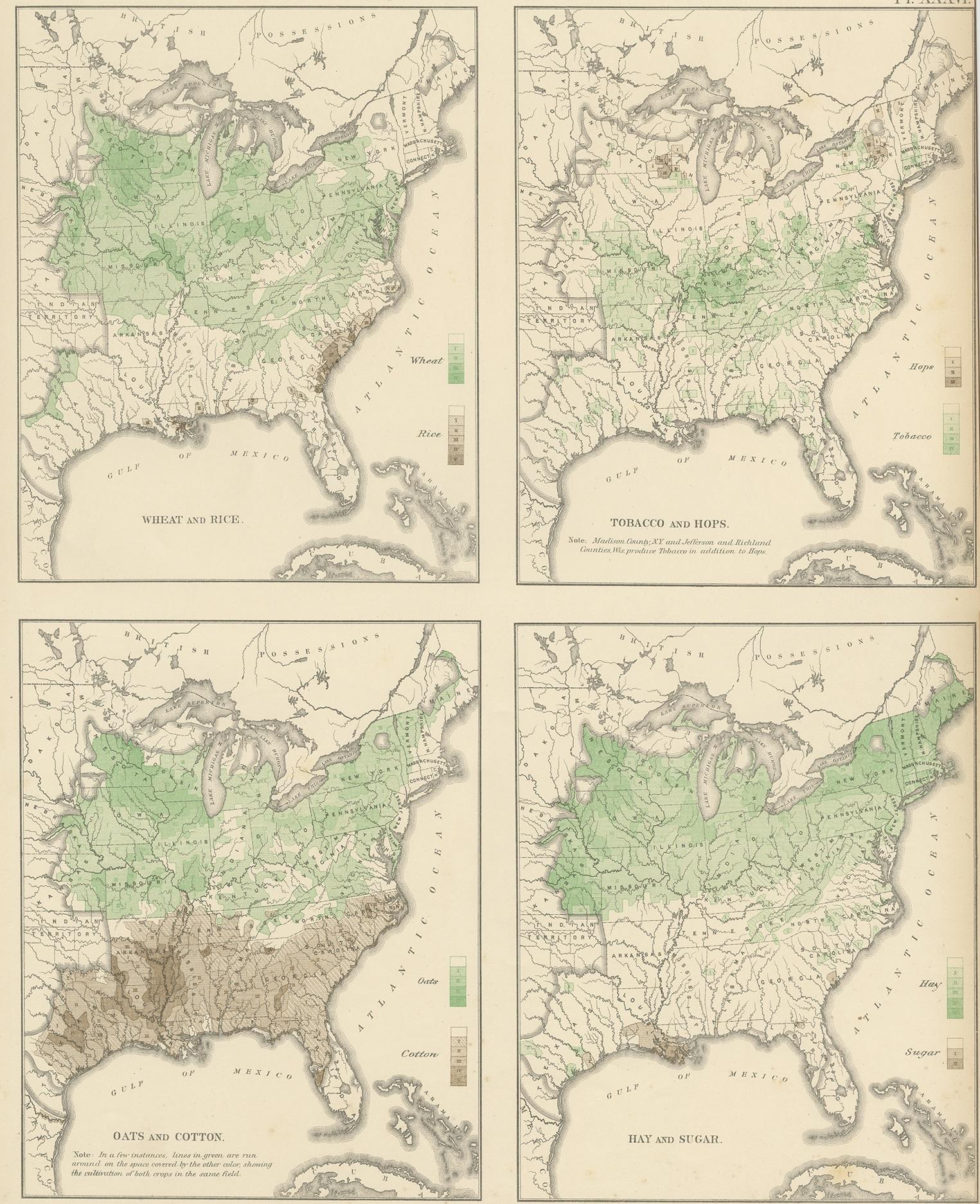
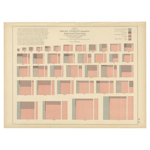
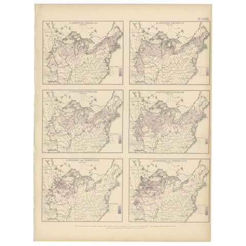
This rare and visually compelling 19th-century lithograph presents four detailed maps illustrating the geographic distribution and intensity of cultivation of major crops across the United States, based on the Ninth Census of 1874. Compiled under the direction of Francis A. Walker for the influential Statistical Atlas of the United States, this sheet exemplifies the early use of data visualization in American cartography.
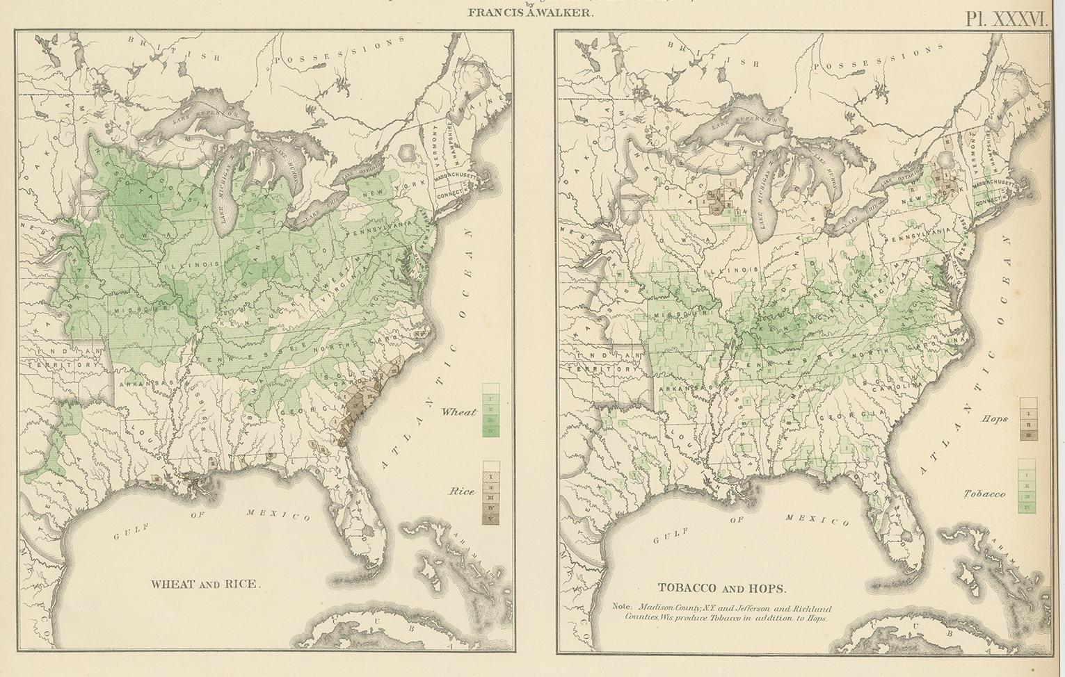
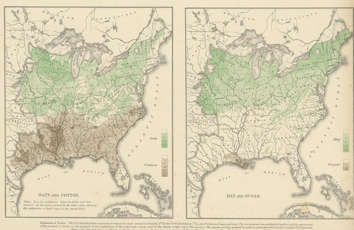
The composition is divided into four panels, each delicately hand-colored in soft green tones to indicate the range and density of agricultural production. The maps depict Wheat and Rice, Tobacco and Hops, Oats and Cotton, and Hay and Sugar respectively. The nuanced shading reflects varying degrees of cultivation, offering a fascinating snapshot of regional agricultural specialization in the post-Civil War United States.
Beyond its statistical importance, the engraving is finely executed with crisp linework and elegant typography, characteristic of high-quality lithographic production of the period. The balanced layout and subtle coloring make it not only historically significant but also highly decorative. The map captures a transformative moment in American agricultural expansion, revealing patterns of settlement, climate influence, and economic development during the late 19th century.
This sheet would make an excellent addition to collections of thematic cartography, Americana, or early statistical graphics. It also displays beautifully when framed, particularly in interiors that appreciate intellectual and historical depth.
Condition report: Good condition with age-related toning and light spotting, mainly confined to the margins. The maps remain clear and well-defined with attractive original hand-coloring. Minor edge wear consistent with age. Plate mark not applicable as issued as a lithograph.
Framing tips: This piece benefits from a wide museum-style mat in warm ivory or light cream to enhance the delicate green tones. A medium walnut or ebonized wood frame complements the historical character and adds depth. Ideal for study rooms, libraries, or refined modern interiors.
Technique: Lithograph with original hand-coloring
Maker: Francis A. Walker, United States, 1870
Keywords: United States map, US agriculture map, crop distribution map, wheat rice tobacco cotton oats sugar hay hops, Statistical Atlas United States, Francis A Walker, 1870 census map, thematic cartography, economic geography, agricultural history, Americana map, 19th century lithograph, antique US map, farming regions America, historical data visualization, census atlas, American crops map, vintage statistical map, decorative antique map, US regional agriculture, cotton belt map, wheat belt map, rice cultivation map, tobacco regions US, atlas plate Walker, 19th century America map