Antique Maps
5,418 original sheets
Europe 3023Asia 1110Africa 236America 548Australia & Oceania 159World Maps 111Sea Charts 209Celestial Maps 22
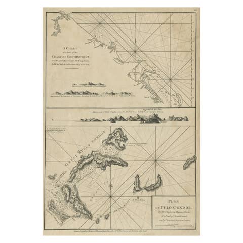
Chart of the Coast of Cochinchina' and 'Plan of Pulo Condor', Vietnam, 1778
1778 · € 540
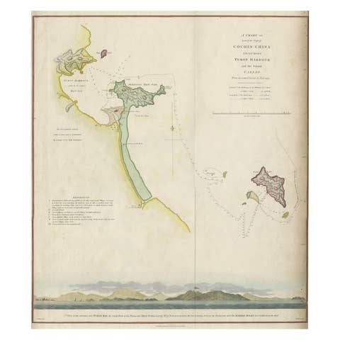
Map of the Vietnamese Coast, Centered on Turon Harbor 'Da Nang Area', 1796
1796 · € 670
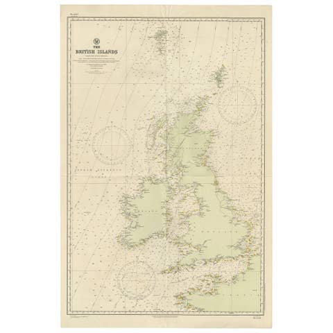
Large Sea Chart of the British Islands, 1918
1918 · € 560
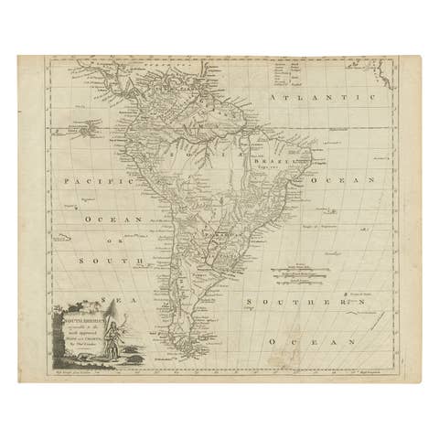
Rare Map of South America of Chili, La Plata, Paraguay, Brazil, Peru, c.1775
1775 · € 540
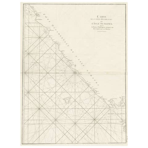
Sea Chart of Part of the Southwestern Coast of Sumatra & Nias, Indonesia, C1775
€ 540
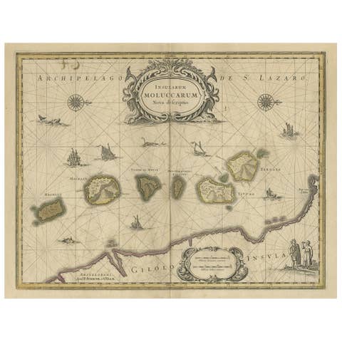
Old Map of the Moluccas, Known as the Famous Spice Islands, Indonesia, ca.1730
1730 · € 690
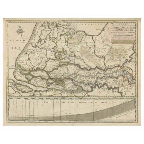
Detailed Map of Dutch Rivers, with the Rhine, Maas, de Merwe en de Lek, C.1750
1750 · € 560
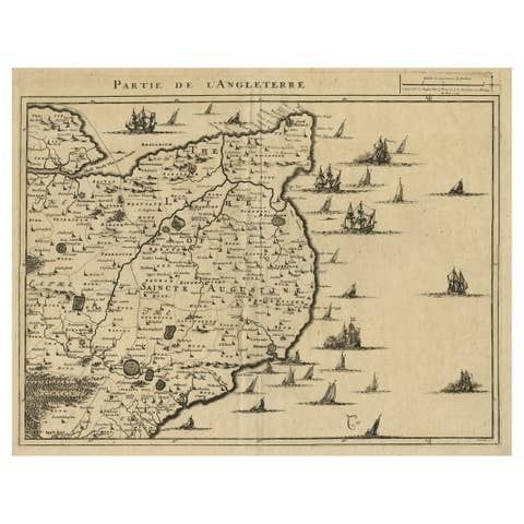
Uncommon Antique Map of the English Channel Coastline, ca.1709
1709 · € 540
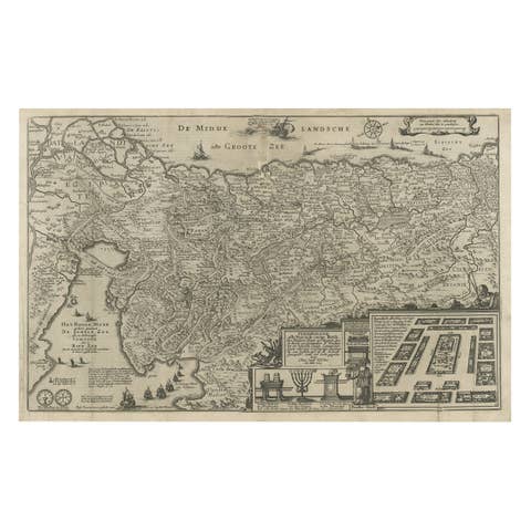
Beautiful Rare Antique Map of the Holy Land, 1648
1648 · € 840
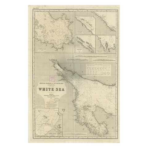
Uncommon, Large Map of the British Islands to Petshora Bay, 1891
1891 · € 1 160
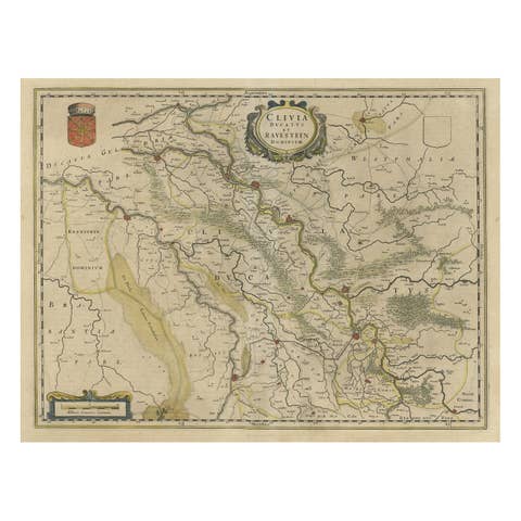
Map of the Duchy Clivia & Ravestein, Brabant in The Netherlands & Germany, 1635
1635 · € 750
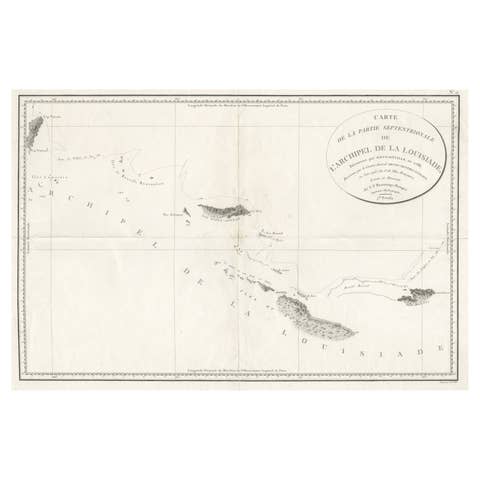
Uncommon Rare Map Showing The Louisiade Archipelago, Papua New Guinea, ca.1798
1798 · € 840

Antique Map of Prussia by David Custodis, Paper, Circa 1630, Germany
1630 · € 680
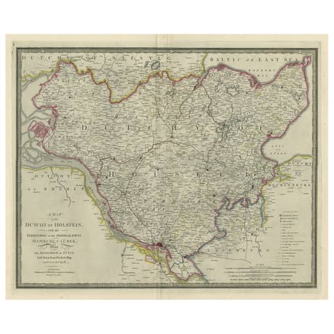
Large Original Antique Map of the Dutchy of Holstein, Germany, ca.1840
1840 · € 840
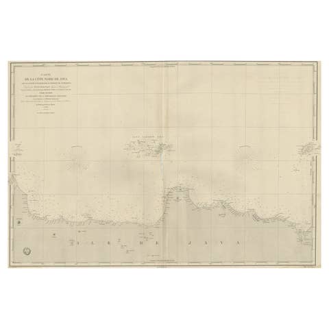
Early French Nautical Chart of the Northern Coast of of Java, Indonesia, C.1850
1850 · € 1 150
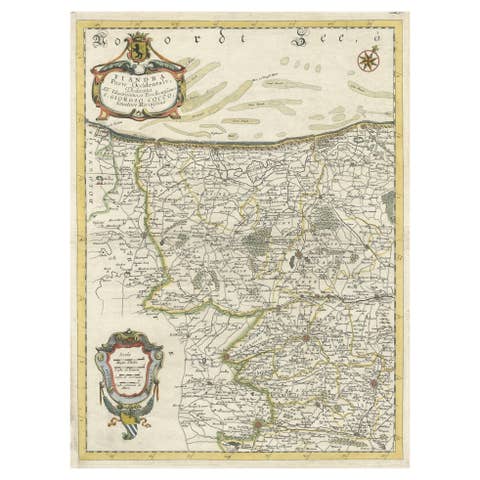
Decorative Original Antique Map of the North of Flanders, Belgium, 1697
1697 · € 920
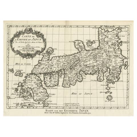
Original Antique Map of the Empire of Japan, Centered on the Bay of Osaka, c1752
€ 840
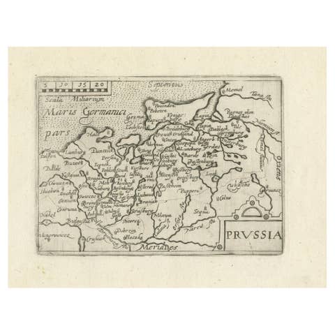
Extremele Rare, Original Miniature Map of Prussia, ca.1640
1640 · € 880
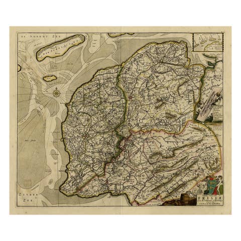
Map of Friesland with Terschelling, Vlieland, Ameland En Schiermonnikoog, C.1670
1670 · € 730

Old Map of the Province of Groningen, the Netherlands & inset of Islands, C.1680
1680 · € 1 250
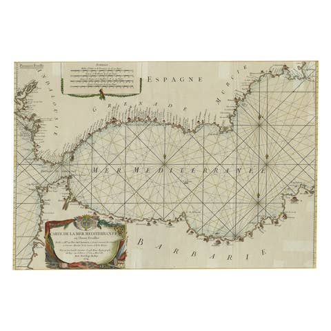
Large Decorative Antique Map of the Mediterranean, ca.1770
1770 · € 1 140
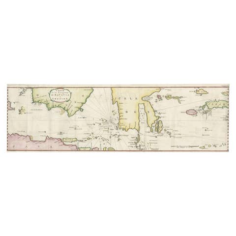
Rare Chart of Indonesia Including Borneo, Java, Celebes, Ceram and More, 1779
1779 · € 890

Antique Map of Northamptonshire by Speed, 1676
1676 · € 550
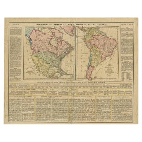
Antique Map of North and South America by Walker, 1828
1828 · € 219
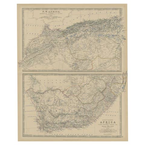
Antique Map of North and South Africa by Johnston, 1882
1882 · € 230

Antique Map of North and East Asia, 1751
1751 · € 511
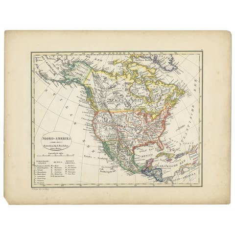
Antique Map of North America from an Old Dutch School Atlas, 1852
1852 · € 220

Antique Map of North America by Laarman, c.1860
1860 · € 262
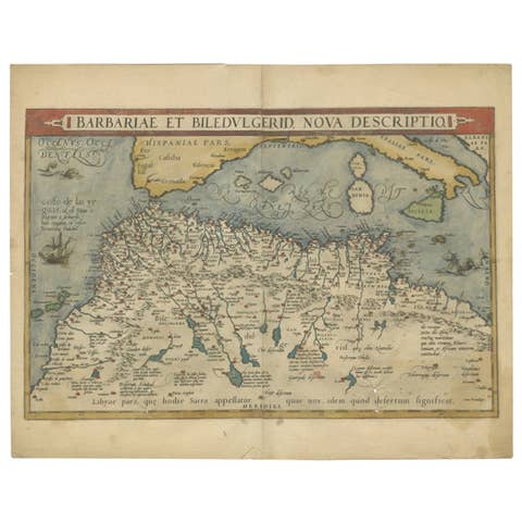
Antique Map of North Africa by Ortelius, c.1600
1600 · € 375
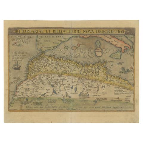
Antique Map of North Africa by Ortelius, c.1580
1580 · € 359
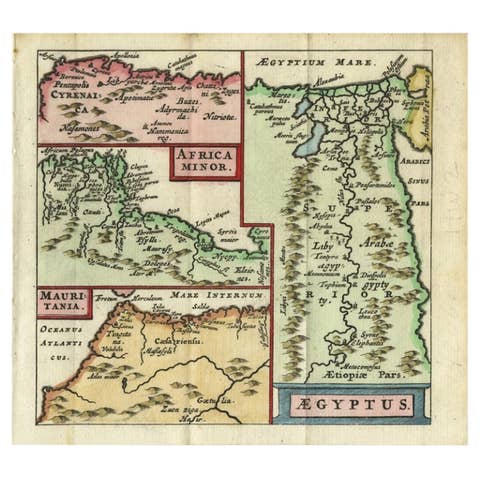
Antique Map of North Africa showing Egypt, Mauritania and Africa Minor, 1672
1672 · € 240
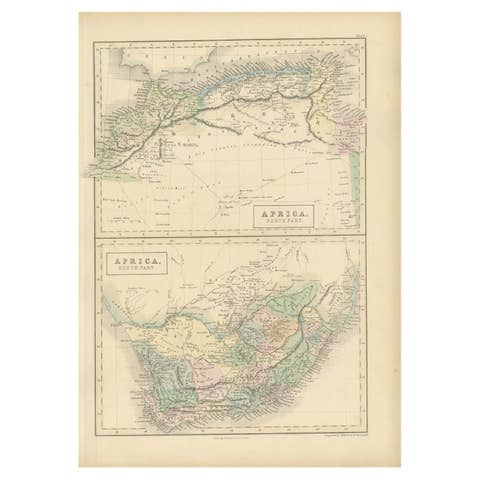
Antique Map of North Africa and South Africa by Black, 1854
1854 · € 109
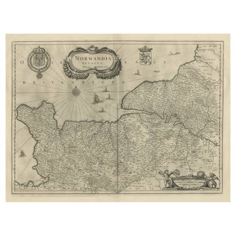
Antique Map of Normandy by Janssonius, 1657
1657 · € 358
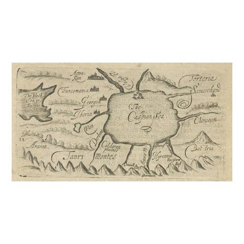
Uncommon Miniature Map of the Region around the Caspian Sea, ca.1800
1800 · € 190
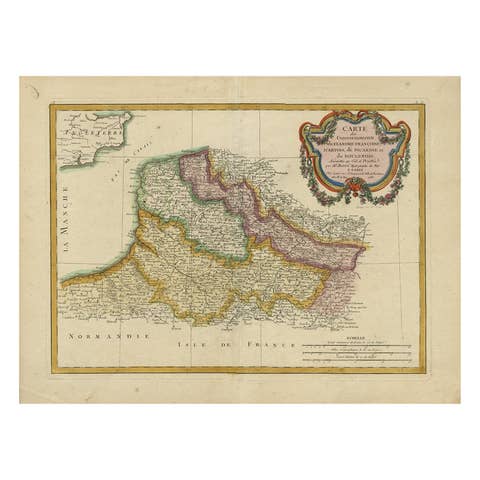
Antique Map of Picardy, Aroits and French Flanders by Bonne, c.1780
1780 · € 175
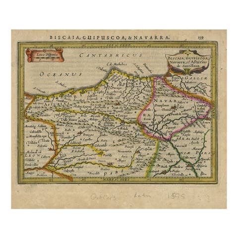
Antique Map of Northeastern Spain by Mercator, 1634
1634 · € 139
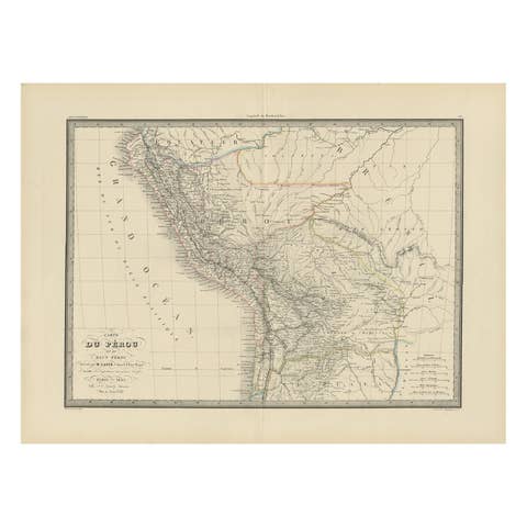
Antique Map of Peru, Ecuador and Bolivia by Lapie, 1842
1842 · € 230
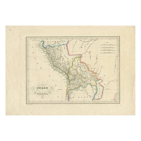
Antique Map of Peru and Bolivia by Thierry, 1836
1836 · € 130
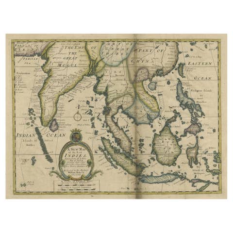
Antique Map of Southeast Asia from Persia to the Timor Island, 1712
1712 · € 790
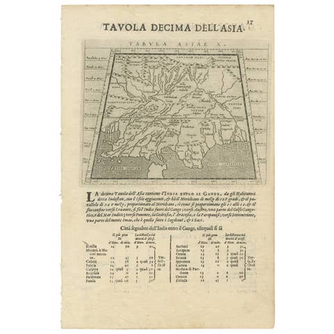
Two Maps of Asia on One Sheet, India, Bangladesh and Malaysia & Burma etc., 1617
1617 · € 640
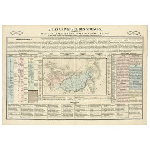
Original French Antique Map of the Russian Empire, 1837
1837 · € 290
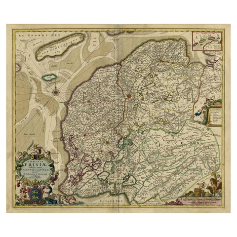
Large Copper Engraved Map of the Coastline of Friesland and Terschelling, c.1670
1670 · € 890
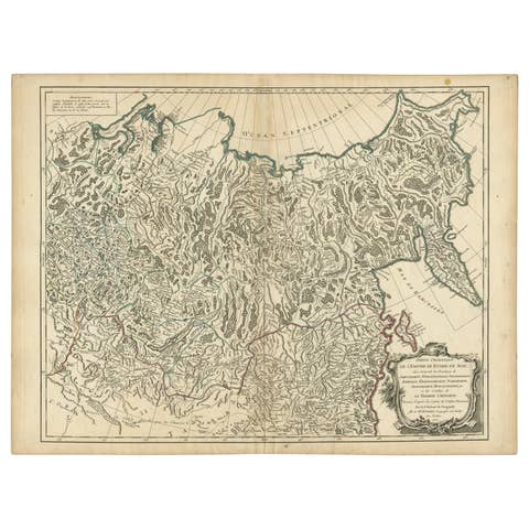
Detailed Original Antique Map of the Russian Empire in Asia, 1750
1750 · € 590

Antique Map of the Extension of the Russian Empire in the XIXth Century, 1806
1806 · € 560
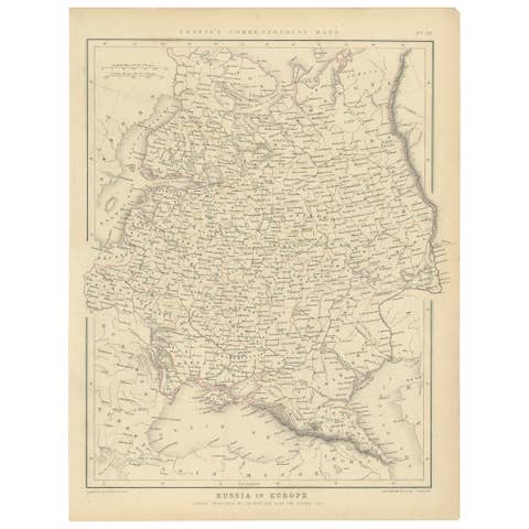
Old Original Map of Russia in Europe, 1849
1849 · € 180
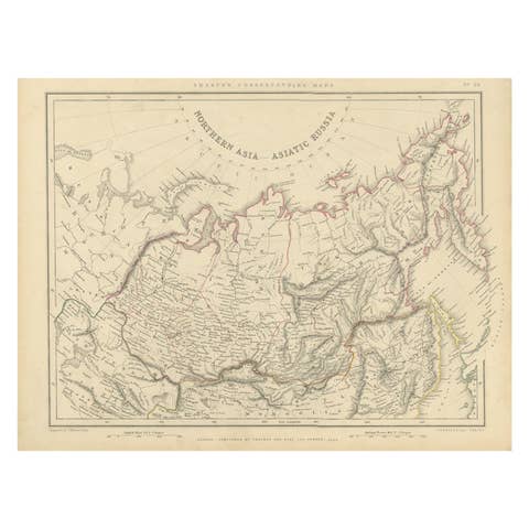
Northern Asia, Asiatic Russia, Old Map of Russia in Asia, 1849
1849 · € 180
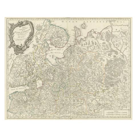
Original Antique Map of the Northwestern Part of Russia in Europe, 1753
1753 · € 590
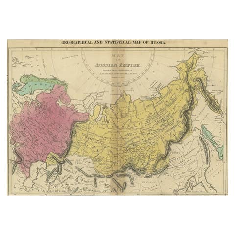
Old Map of the Russian Empire, with English Language Text, Ca.1820
1820 · € 540