Original antique · The actual sheet photographed · Certificate of authenticity on request · Sold unframed · Worldwide shipping from € 15 (rates)
Date
1648
Sheet size
34.5 × 50.5 cm (13.6 × 19.9 in)
Condition
Good
Reference
BGI-01106
Condition
Given age. Some tears and repairs, mainly on folding lines. Dutch text on verso. Please review the images for further condition details.
About this sheet
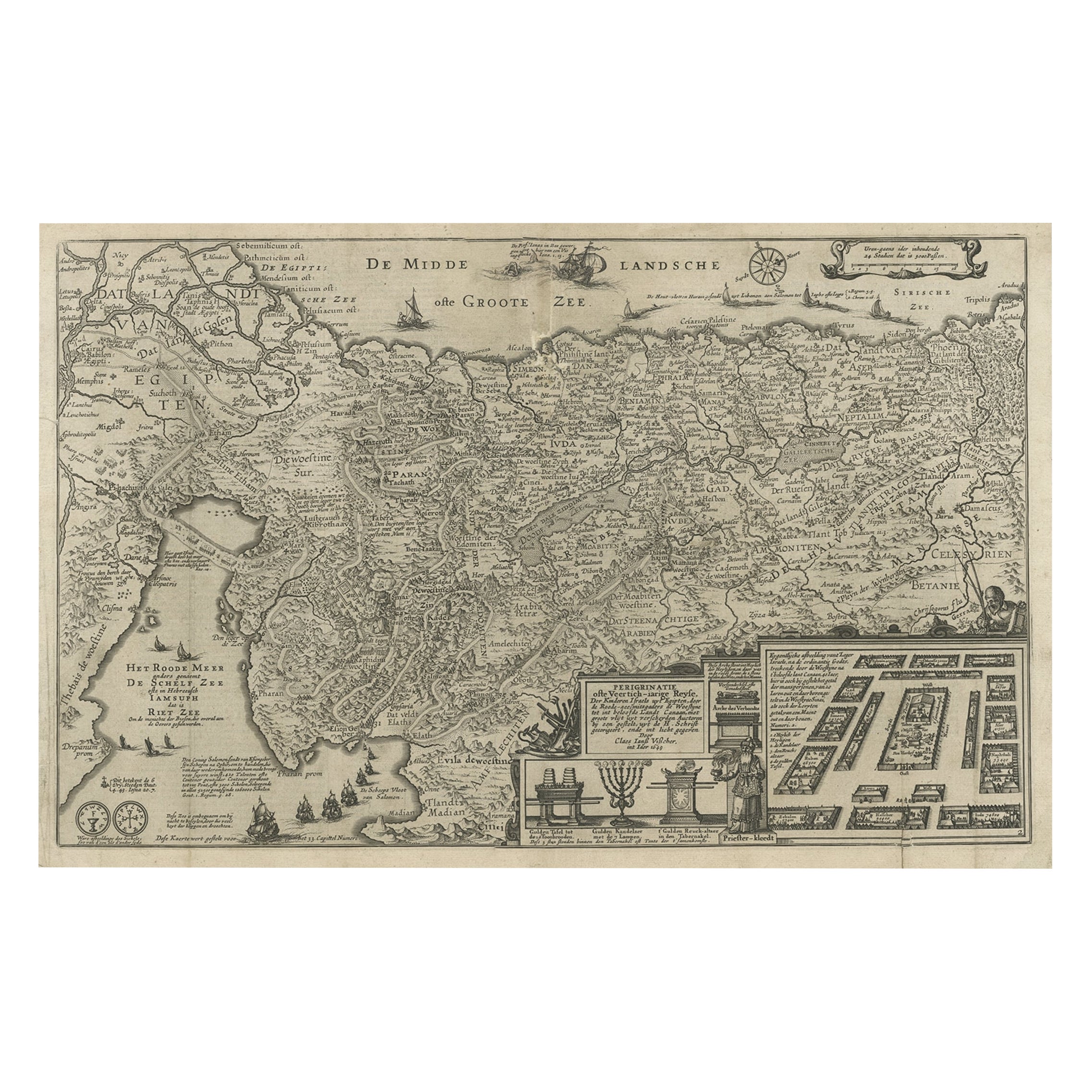
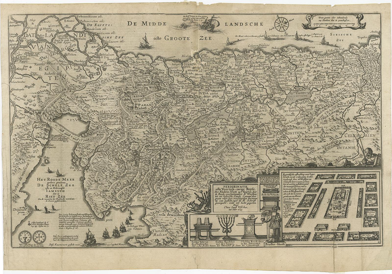
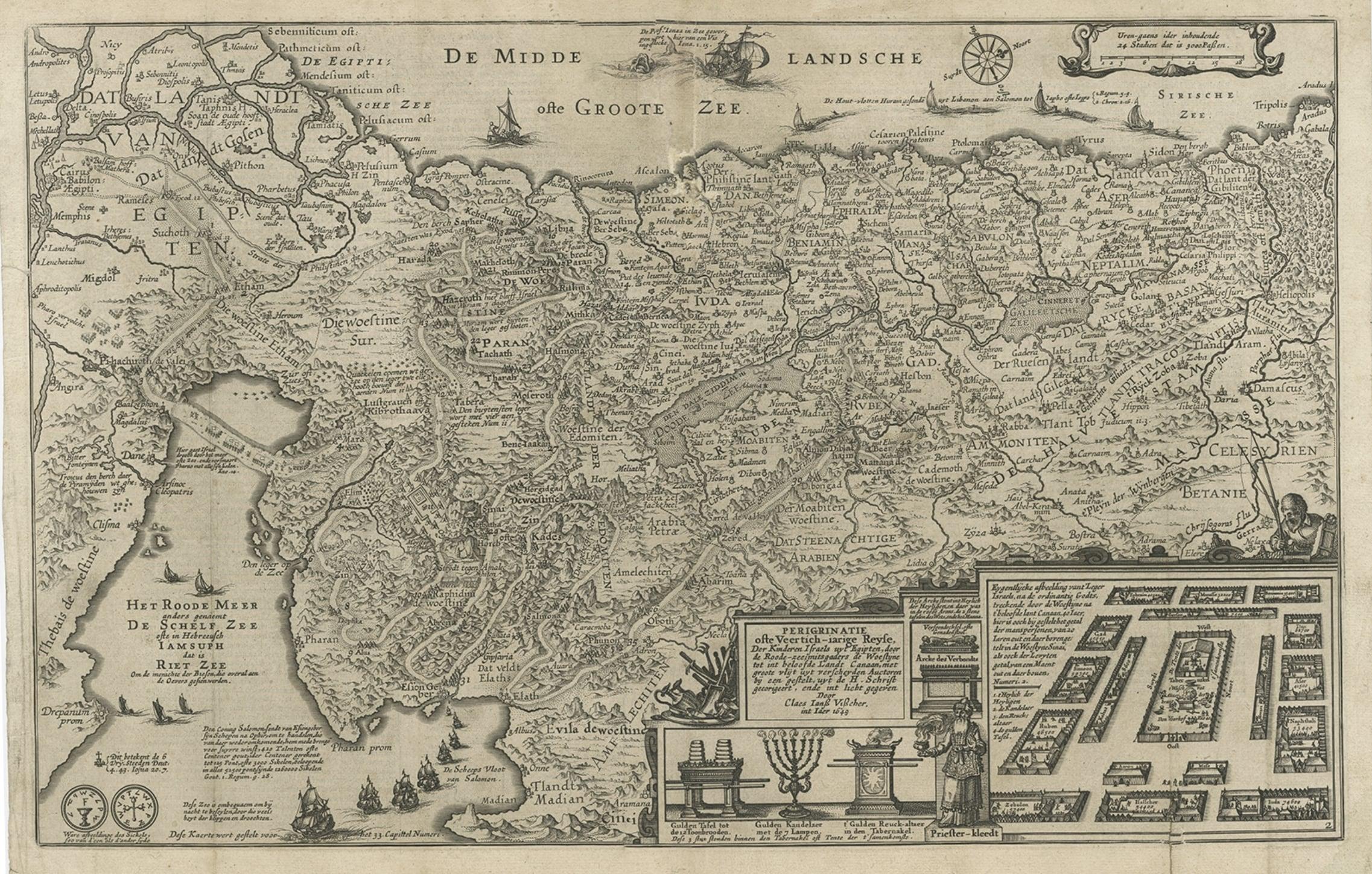
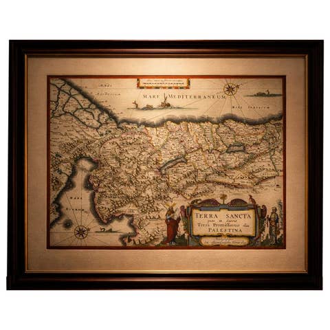
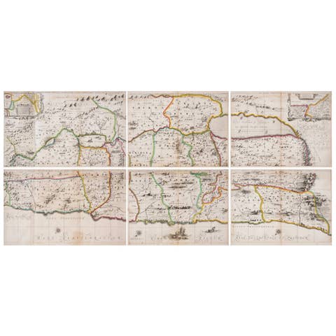
Antique map Holy Land titled 'Perigrinatie ofte Veertich-Iarige Reyse, der kinderen Israels uyt Egipten, door de Roode-Zee; mitsgaders de Woestyne tot int Beloofde Landt Canaan, : met groote vlyt uyt verscheryden auctoren by een gestelt, uyt de H. Schrift gecorigeert, ende int licht gegeven'.
Beautiful and rare antique map of the Holy Land. Shows Exodus and wanderings of children of Israel across Red Sea, Sinai, and to Jericho.
Artists and Engravers: Claes Janszoon Visscher (1587-1652) was a Dutch Golden Age draughtsman, engraver, mapmaker and publisher.