Antique Maps
5,418 original sheets
Europe 3023Asia 1110Africa 236America 548Australia & Oceania 159World Maps 111Sea Charts 209Celestial Maps 22
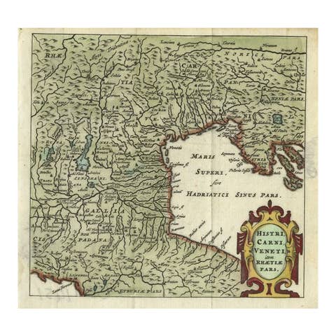
Antique Map of Northern Italy by Cluver, 1685
1685 · € 200
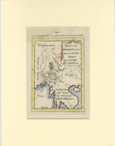
Antique Map of Northern India and the Bengal Gulf by Mallet, 1686
1686 · € 350

Antique Map of Polynesia by Walker, 1840
1840 · € 140

Rare Antique Map of 'Barbarie' or Northern Africa, 1655
1655 · € 172
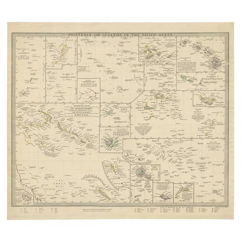
Antique Map of Polynesia with Details of Many Islands, 1840
1840 · € 260
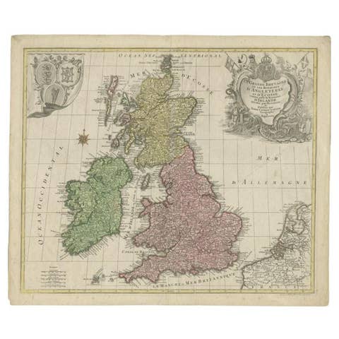
Antique Map of the British Isles by Lotter, 1764
1764 · € 335
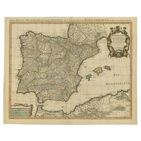
Antique Map of Spain by Covens & Mortier, c.1740
1740 · € 525
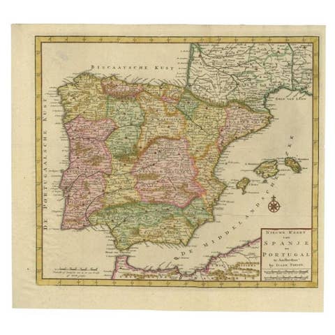
Antique Map of Spain and Portugal by Tirion, c.1760
1760 · € 273
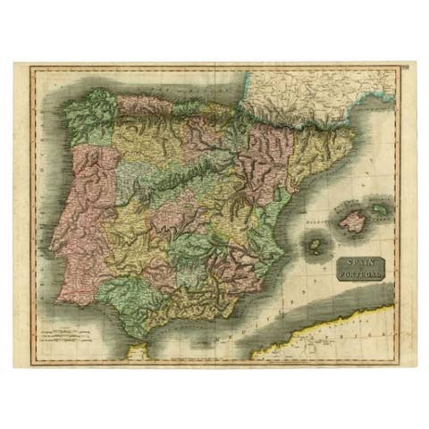
Antique Map of Spain and Portugal by Thomson, 1815
1815 · € 175
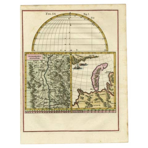
Antique Map of the Alsace region and Nova Zembla by Scherer, c.1700
1700 · € 150
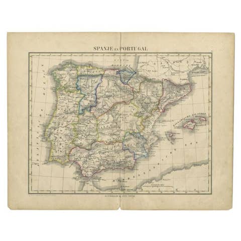
Antique Map of Spain and Portugal by Petri, c.1873
1873 · € 97
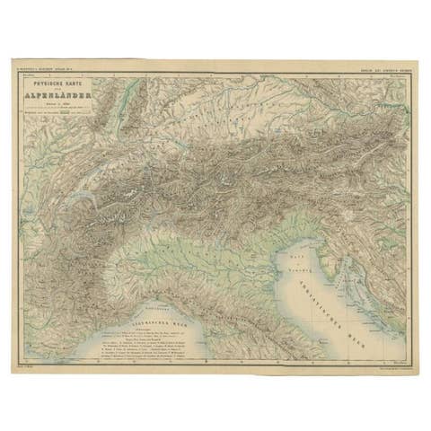
Antique Map of the Alpine Countries, Published in Germany, c.1870
1870 · € 190
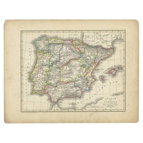
Antique Map of Spain and Portugal by Petri, 1852
1852 · € 120

Antique Map of Spain and Portugal by Mitchell, 1846
1846 · € 129
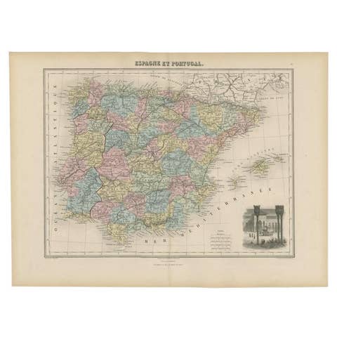
Antique Map of Spain and Portugal by Migeon, 1880
1880 · € 115
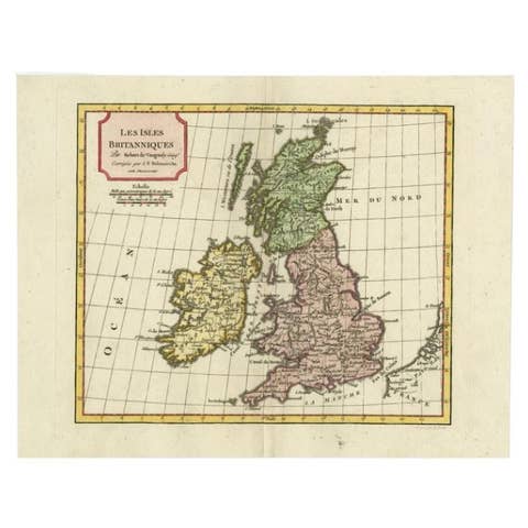
Antique Map of the British Isles by Delamarche, 1806
1806 · € 150
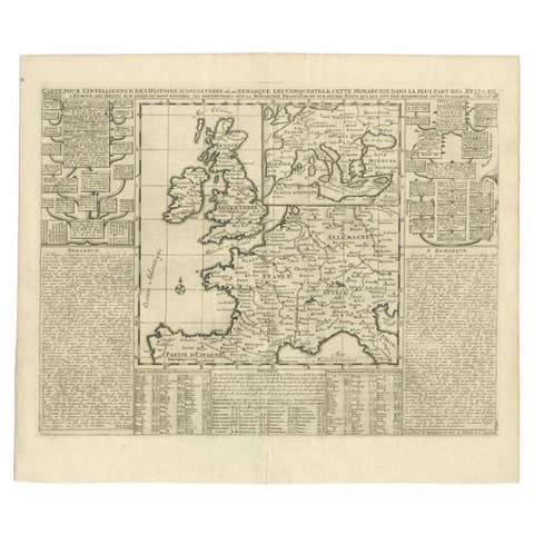
Antique Map of the British Isles and Part of Europe by Chatelain, c.1720
1720 · € 320

Antique Map of the Breaches of the Oude Rijn River, C.1890
1890 · € 74
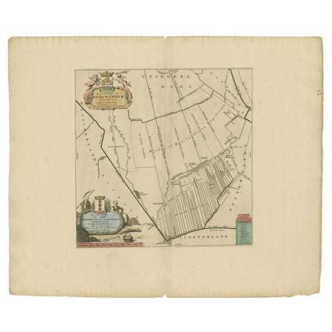
Antique Map of the Aengwirden Township 'Friesland' by Halma, 1718
1718 · € 238
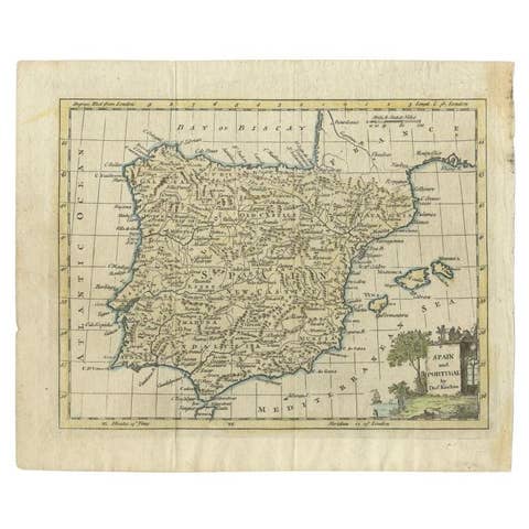
Antique Map of Spain and Portugal by Kitchin, 1770
1770 · € 140
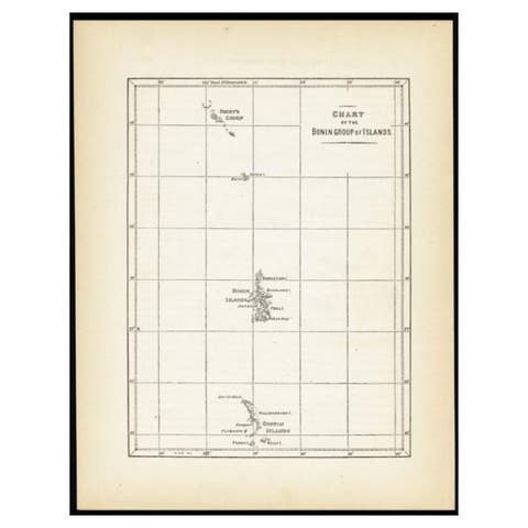
Antique Map of the Bonin Islands by Hawks, 1856
1856 · € 88
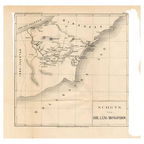
Antique Map of the Bolaang Mongondow District on Sulawesi by Stemler, c.1875
1875 · € 63
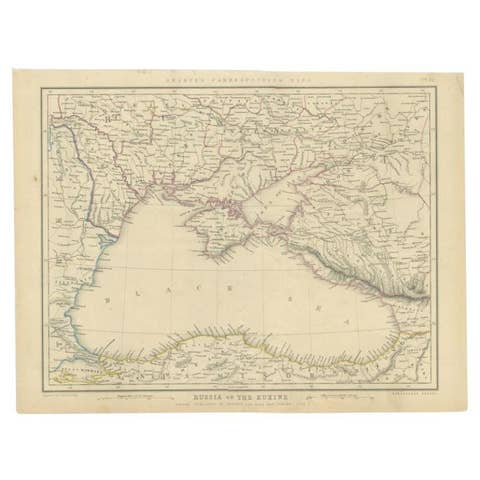
Antique Map of the Black Sea and Surroundings by Sharpe, 1849
1849 · € 95
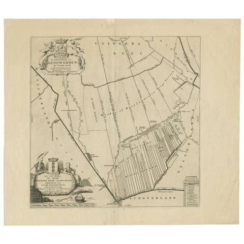
Antique Map of the Aengwirden Township, Friesland, the Netherlands, 1718
1718 · € 340
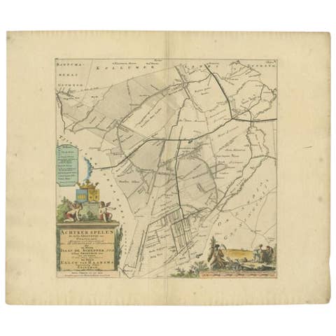
Antique Map of the Achtkarspelen township, Friesland, The Netherlands, 1718
1718 · € 380
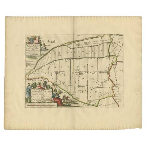
Antique Map of the Bildt Township 'Friesland' by Halma, 1718
1718 · € 379
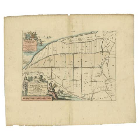
Antique Map of the Bildt Township 'Friesland' by Halma, 1718
1718 · € 369
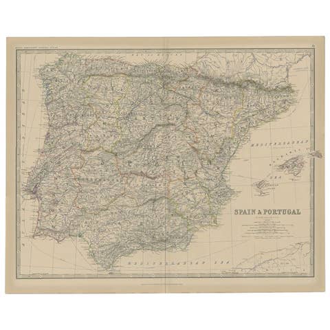
Antique Map of Spain and Portugal, 1882
1882 · € 230

Antique Map of Spain and Portugal by Harris, 1802
1802 · € 83
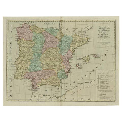
Antique Map of Spain and Portugal by Bowles, c.1780
1780 · € 395
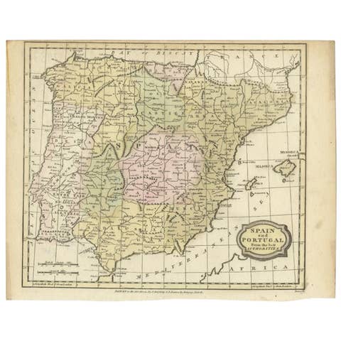
Antique Map of Spain and Portugal by Barlow, 1809
1809 · € 80
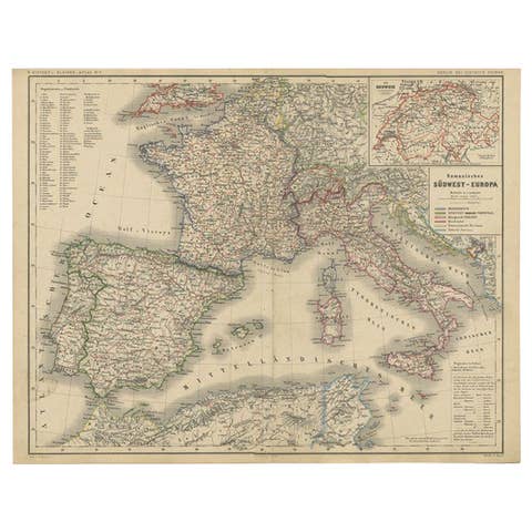
Antique Map of Southwest Europe by Kiepert, c.1870
1870 · € 135
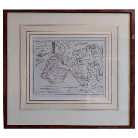
Antique Map of Southern Zeeland by Von Reilly, 1790
1790 · € 198
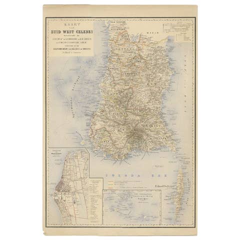
Antique Map of Southern Sulawesi by Stemfoort, 1885
1885 · € 265
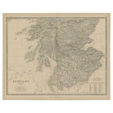
Antique Map of Southern Scotland by Johnston, 1882
1882 · € 135
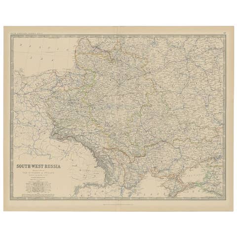
Antique Map of Southern Russia by Johnston, 1882
1882 · € 120
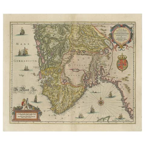
Antique Map of Southern Norway by Janssonius, c.1650
1650 · € 754
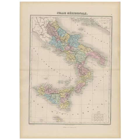
Antique Map of Southern Italy by Migeon, 1880
1880 · € 105
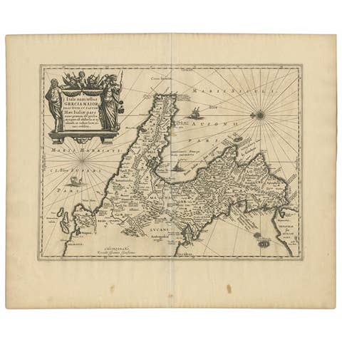
Antique Map of Southern Italy by Janssonius, C.1650
1650 · € 740
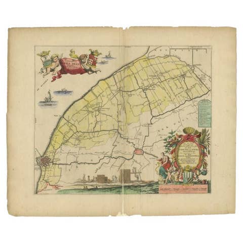
Antique Map of the Barradeel Township, 1718
1718 · € 383
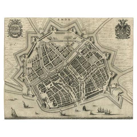
Antique Map of the City of Emden by Blaeu, 1649
1649 · € 510
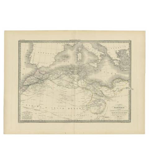
Antique 1842 Map of the Barbary Coast by Pierre M. Lapie, France
1842 · € 260
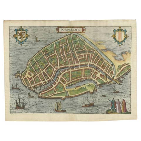
Antique Map of the City of Dordrecht by Braun & Hogenberg, c.1581
1581 · € 420
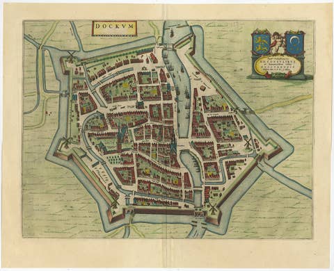
Antique Map of the City of Dokkum, Friesland by Blaeu, c.1650
1650 · € 790
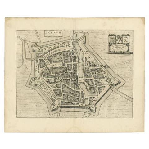
Antique Map of the City of Dokkum by Blaeu, c.1650
1650 · € 490
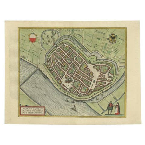
Antique Original Map of the City of Deventer, the Netherlands, 1588
1588 · € 790
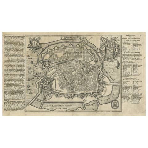
Antique Map of the City of Copenhagen in Denmark c.1720
1720 · € 254
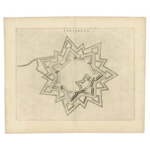
Antique Map of the City of Coevorden by Blaeu, 1649
1649 · € 227