Two Maps of Asia on One Sheet, India, Bangladesh and Malaysia & Burma etc., 1617
€ 640
Original antique · The actual sheet photographed · Certificate of authenticity on request · Sold unframed · Worldwide shipping from € 15 (rates)
Date
1617
Sheet size
29.5 × 20 cm (11.6 × 7.9 in)
Reference
JAK-793
Condition
Very good, general age-related toning. Please read description for details and study image carefully.
About this sheet
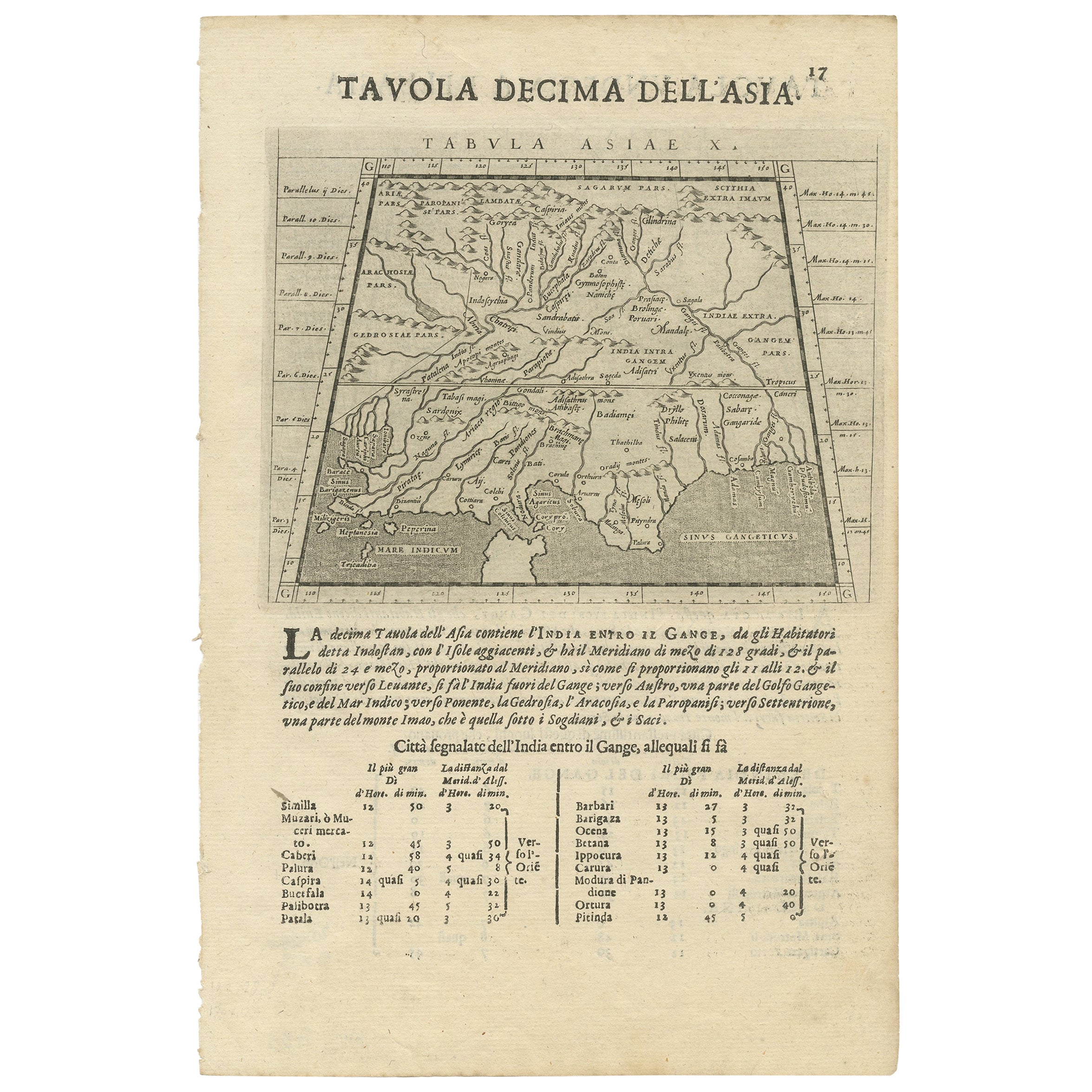
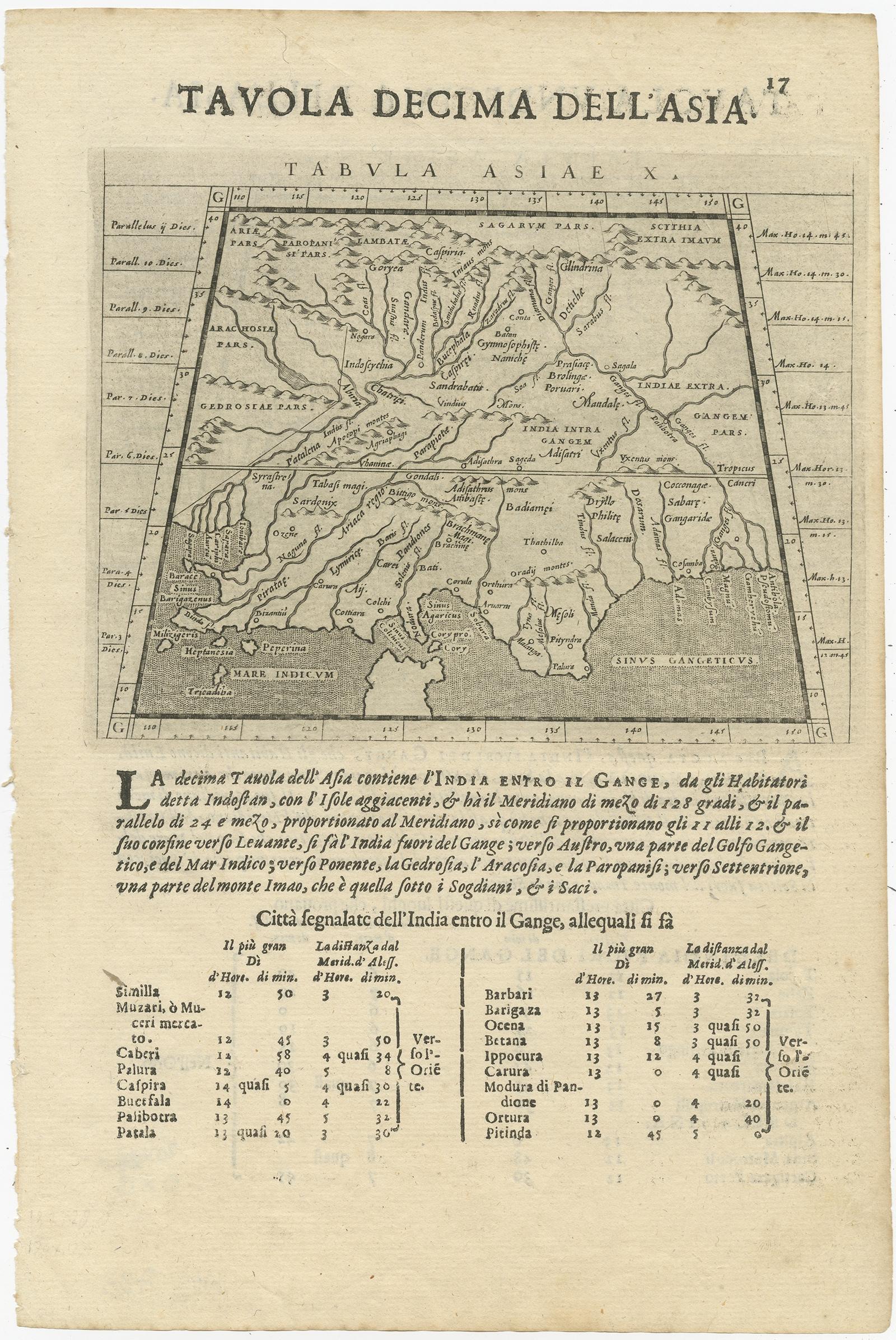
Antique map titled 'Tabula Asiae'.
Two maps of Asia on one sheet, recto and verso. The recto features an interesting map of India, Bangladesh and the Ganges River. On the verso, a map of Indochina, Malaysia, Thailand, Burma and surroundings. This map originates from 'Geografia cioe Descrittione Universale della Terra' by Magini. Engraved by Girolamo Porro.
Artists and Engravers: Giovanni Antonio Magini (Padua; 1555-1617) was an Italian astronomer, cartographer, matematician and astrologer.