Maps & PrintsBartele Gallery · Langweer
Home / Antique Maps / Australia & Oceania

Australia & Oceania · 19th century

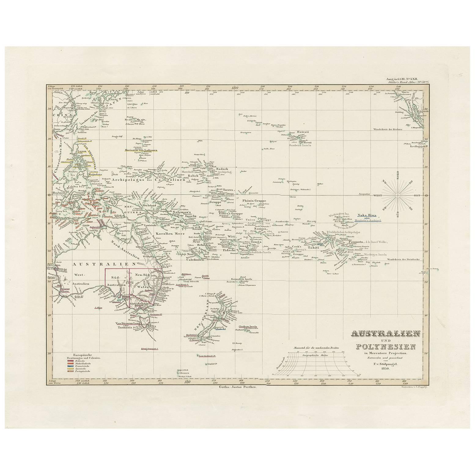
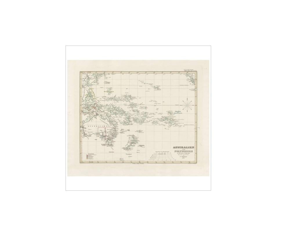
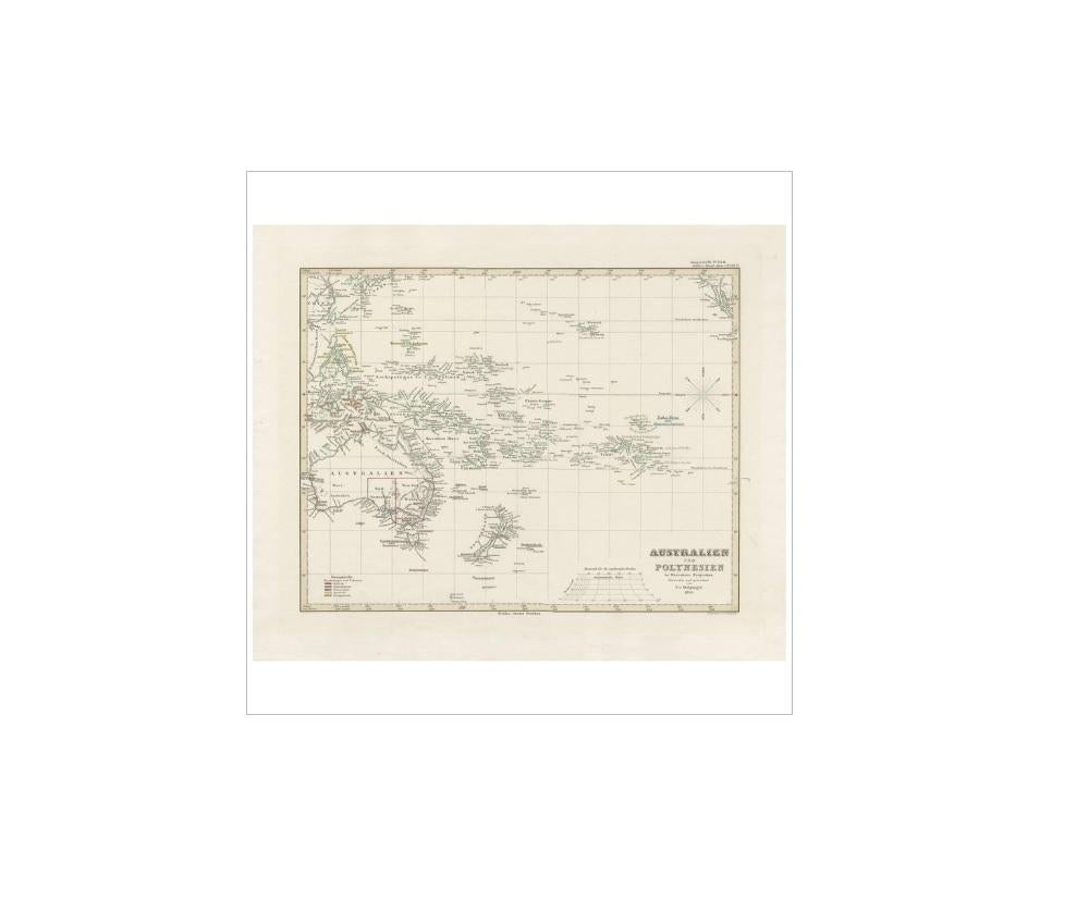
Antique Map of Australia, New Zealand and Oceania by F. von Stülpnagel, 1850

€ 220

One of a kind: this is the sheet in the photographs. Ships from Langweer, the Netherlands.

Date
1850
Sheet size
38.5 × 46.5 cm (15.2 × 18.3 in)
Condition
Good
Reference
BG-10026

Condition

Please study image carefully.
About this sheet

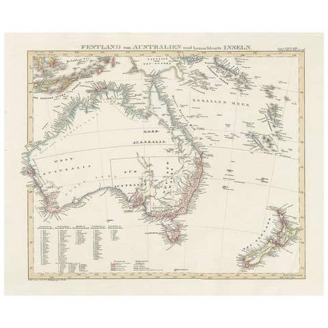
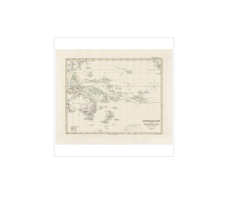
Antique map titled 'Australien und Polynesien in Mercators Projection'. A map of Australia, New Zealand and Oceania. This includes Fiji, Tahiti and several other island groups in the Pacific. On the right edge California is (just) visible. Sheet 50a from 'Stieler's Hand-Atlas' published in Gotha: Justus Perthes, 1850.

More from Australia & Oceania

Ask about this sheet

Antique Map of Australia, New Zealand and Oceania by F. von Stülpnagel, 1850
1850 · Ref. BG-10026 · € 220
We reply by email, usually within one working day.