Maps & PrintsBartele Gallery · Langweer
Home / Antique Maps / Europe / Europe as a Whole

Europe as a Whole · 19th century

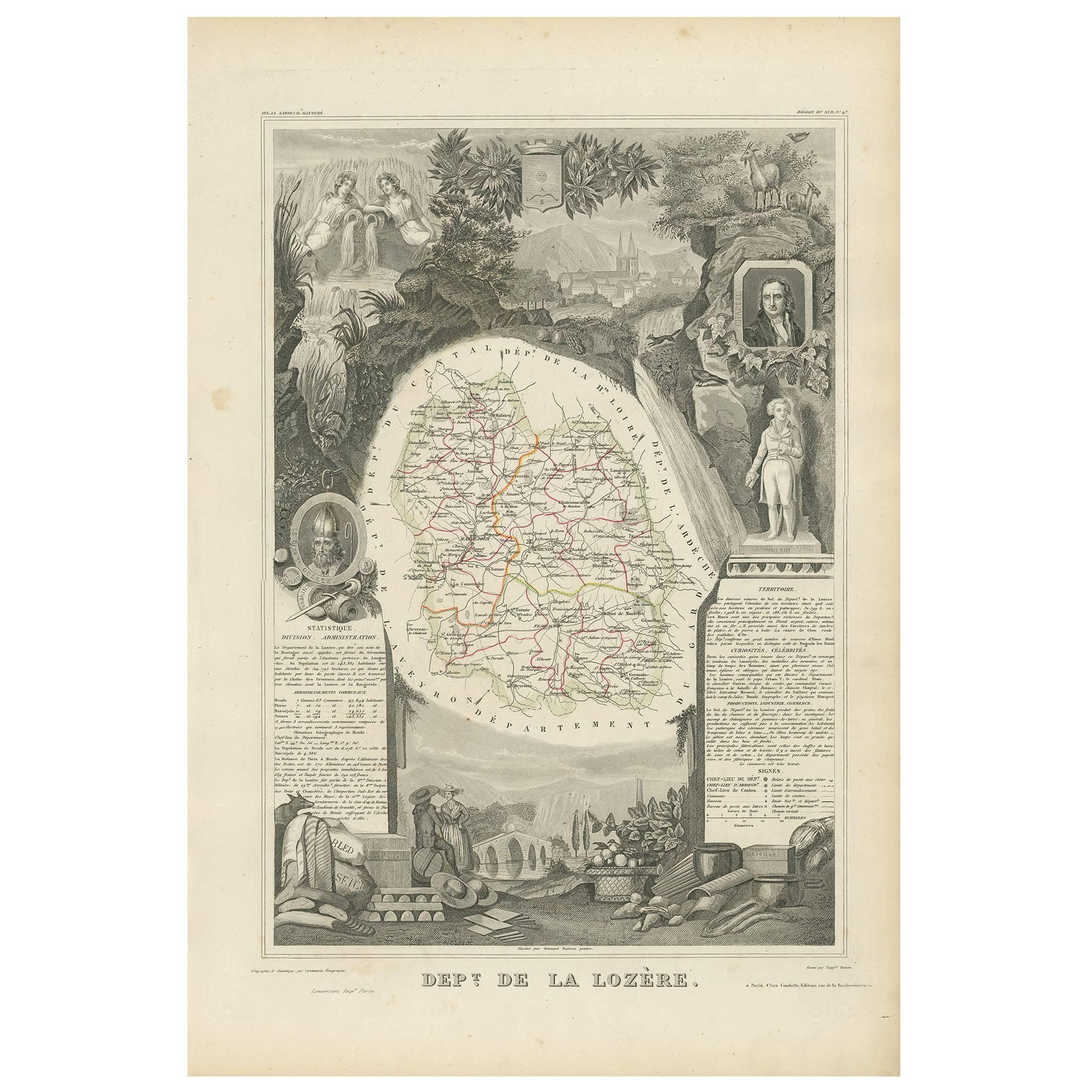
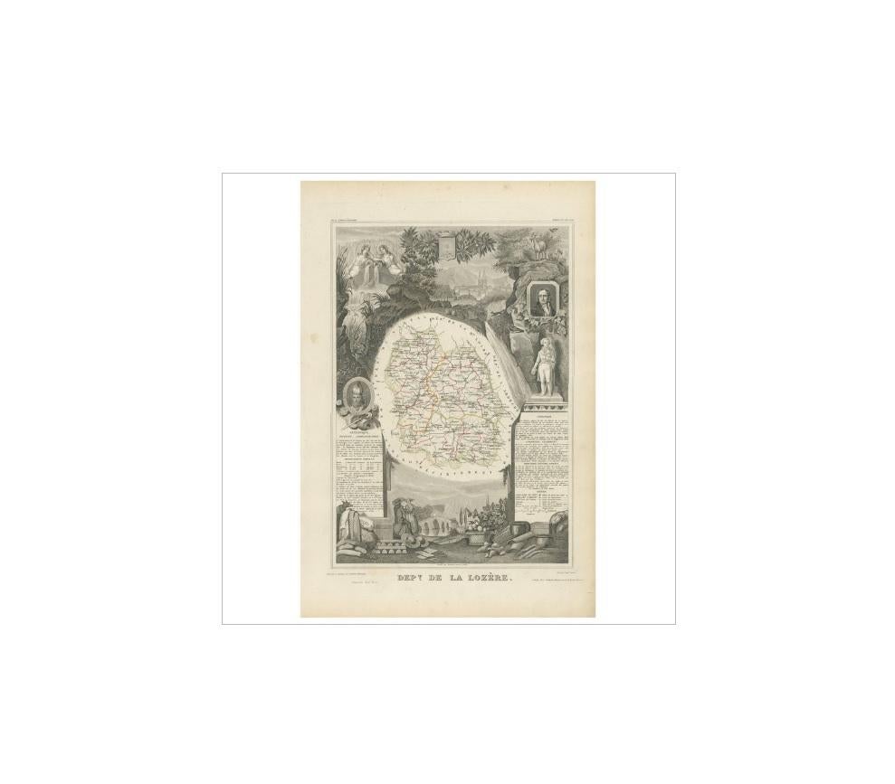
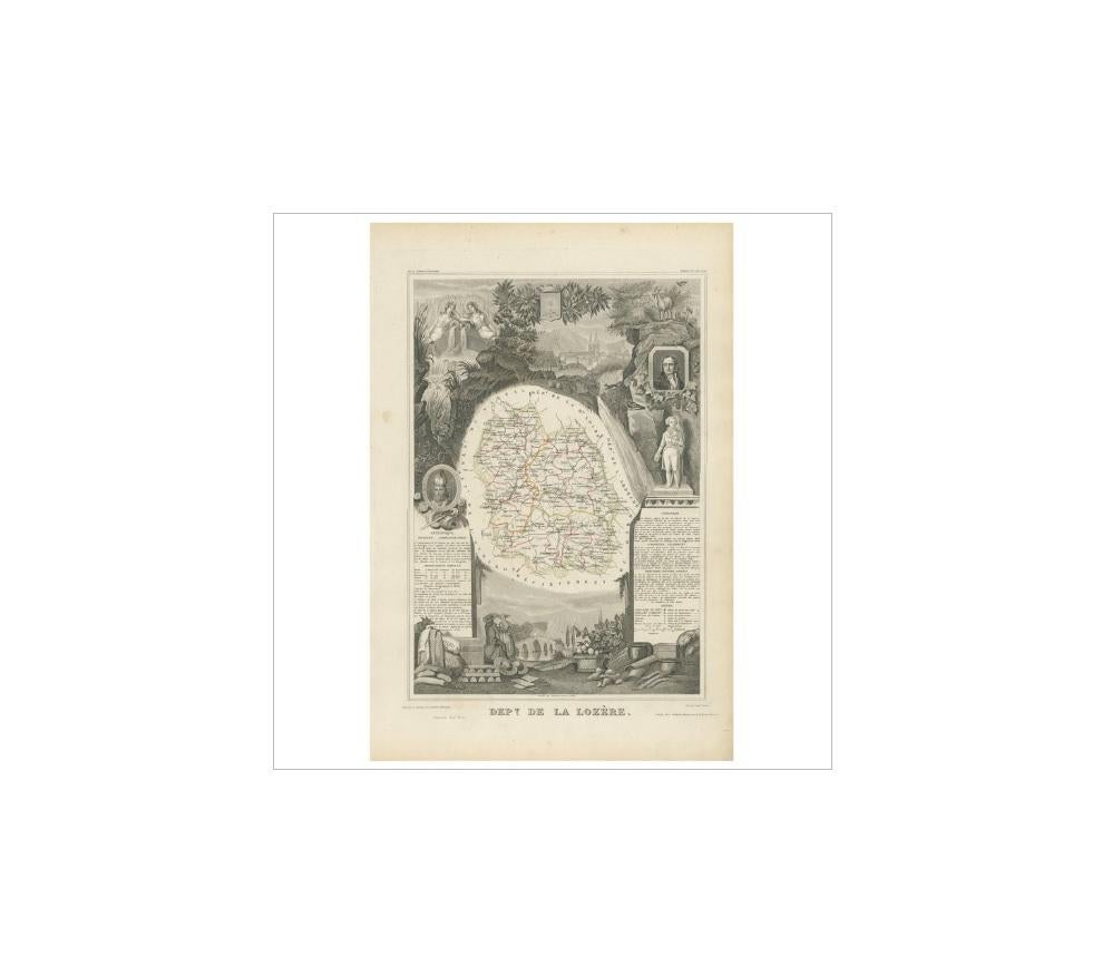
Antique Map of Lozère ‘France’ by V. Levasseur, 1854

€ 180

One of a kind: this is the sheet in the photographs. Ships from Langweer, the Netherlands.

Date
1854
Sheet size
35.5 × 52.5 cm (14.0 × 20.7 in)
Condition
Good
Reference
BG-05614/82

Condition

General age-related toning. Please study image carefully.
About this sheet

Antique map titled 'Dépt. de la Lozère'. Map of the French department of Lozere, France. This remote mountainous part of Languedoc is rural, sparcely populated, and extremely beautiful. This area of France is famous for its cheese production. Their Roquefort, 'Bleu des Causses', and Tomme de Lozère varieties, for instance, are world-renowned. The Pilgrimage to Santiago de Compostella also passes through the northern part of this region. This map originates from ‘Atlas National de la France Illustré’. Published by A. Combette, Paris, 1854.

More from Europe as a Whole

Ask about this sheet

Antique Map of Lozère ‘France’ by V. Levasseur, 1854
1854 · Ref. BG-05614/82 · € 180
We reply by email, usually within one working day.