Maps & PrintsBartele Gallery · Langweer
Home / Antique Maps / Asia / South-East Asia / East Indies

East Indies · 19th century

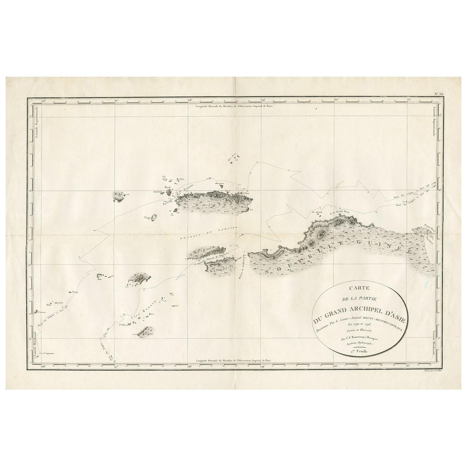
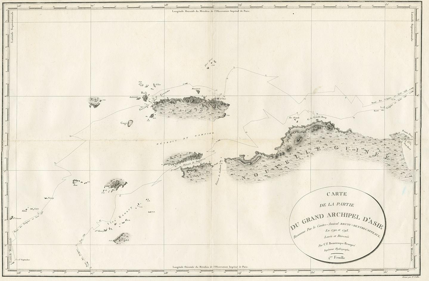
Antique Map of Indonesia by C.F. Beautemps-Beaupre, circa 1807

€ 750

One of a kind: this is the sheet in the photographs. Ships from Langweer, the Netherlands.

Date
1807
Sheet size
57.5 × 84 cm (22.6 × 33.1 in)
Condition
Good
Reference
BG-06210

Condition

Some wear, please study image carefully.

About this sheet

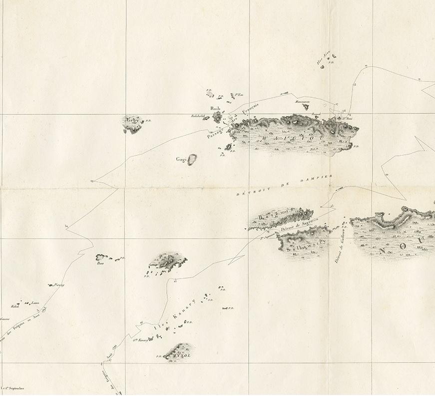
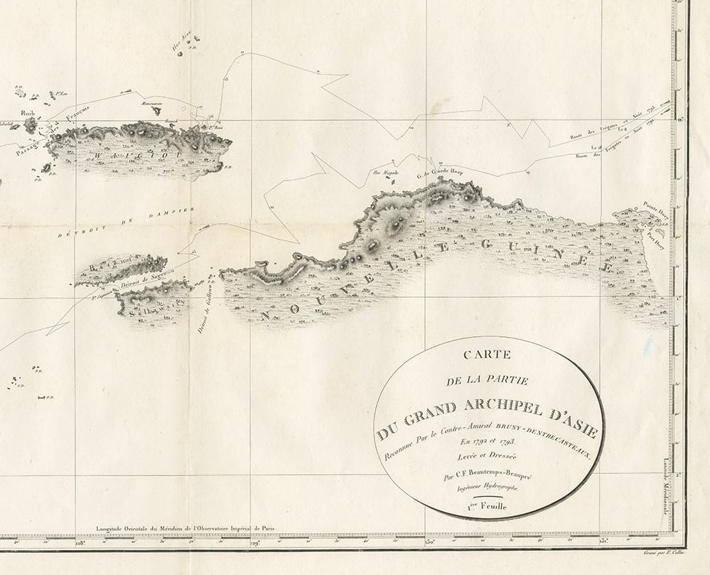
Antique map titled 'Carte de la partie du grand archipel d'Asie'. Map of Indonesia showing tracks of Recherche and Esperance in 1792-1793. This map is part of the great archipelago of Asia, recognized by Rear Admiral Bruny-Dentrecasteaux, in 1792 and 1793. Originates from 'Atlas du voyage de Bruny-Dentrecasteaux, contre-amiral de France, commandant les fregates la Recherche et l'Esperance, fait par ordre du gouvernement en 1791, 1792 et 1793'.

More from East Indies

Ask about this sheet

Antique Map of Indonesia by C.F. Beautemps-Beaupre, circa 1807
1807 · Ref. BG-06210 · € 750
We reply by email, usually within one working day.